Revolutionizing Rural India: How Digital Land Records Transform Agriculture and Empower Farmers
“India’s DILRMP has digitized 95% of rural land records across 626,000 villages, revolutionizing agricultural land management.”
In the heart of rural India, a quiet revolution is taking place. The traditional land management system, once mired in paperwork and opacity, is undergoing a remarkable transformation. We’re witnessing the dawn of a new era in agriculture, where digital land records are not just modernizing processes but empowering millions of farmers across the nation. This blog post delves into how the digitization of land records is reshaping the agricultural landscape of India, bringing transparency, efficiency, and hope to the backbone of our economy.
The Digital India Land Records Modernization Programme (DILRMP): A Game-Changer
At the forefront of this transformative journey is the Digital India Land Records Modernization Programme (DILRMP). This ambitious initiative has been a cornerstone in the government’s efforts to revolutionize rural land management systems. By digitizing 95% of rural land records across an astounding 6.26 lakh villages, the DILRMP has set a new standard for land ownership transparency and efficiency.
The impact of this digital transformation cannot be overstated. For generations, farmers have grappled with the complexities of land ownership, often falling victim to disputes and bureaucratic hurdles. The DILRMP addresses these age-old challenges head-on, providing a robust digital infrastructure that ensures clarity, reduces conflicts, and streamlines processes that were once time-consuming and prone to errors.

Empowering Marginalized Communities Through Digital Inclusion
One of the most significant achievements of the digital land records system is its role in empowering marginalized communities. In rural India, where land is not just an asset but a source of livelihood and identity, clear ownership records are crucial. The digitization process has brought previously undocumented lands into the formal system, giving voice and rights to communities that were often overlooked in traditional record-keeping methods.
- Enhanced accessibility to land records for all, regardless of social status
- Reduction in land-related disputes, benefiting small and marginal farmers
- Improved transparency, reducing the scope for exploitation and fraud
This digital inclusion has far-reaching implications. It’s not just about maintaining records; it’s about ensuring that every farmer, regardless of their economic or social standing, has equal access to information and rights over their land. This democratization of land records is a significant step towards inclusive agricultural land governance.
Integrating Geospatial Technology with Agriculture
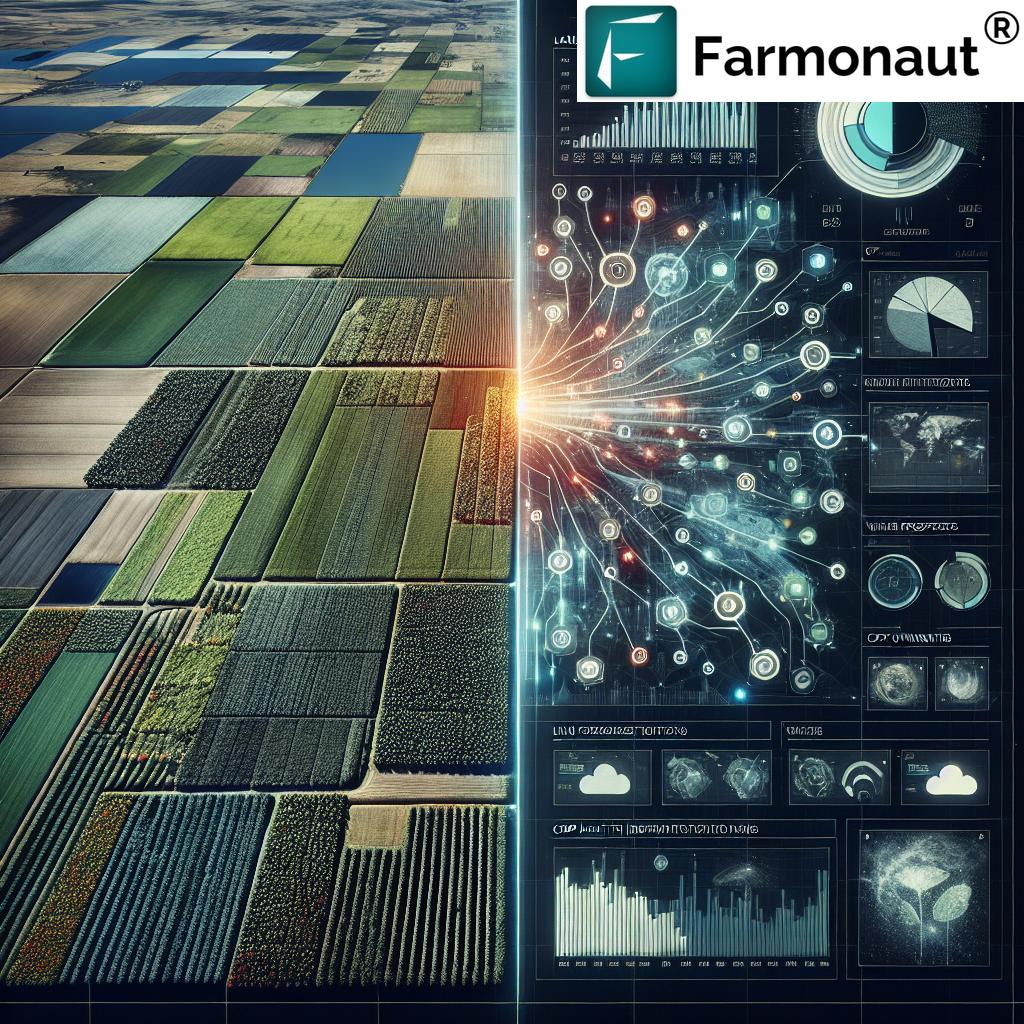
The integration of geospatial technology with agriculture marks a significant leap forward in how we manage and understand our agricultural lands. This fusion of technology and tradition is creating new opportunities for precision farming and efficient land use.
At the heart of this integration is the introduction of Unique Land Parcel Identification Numbers (ULPIN). This innovative system assigns a distinct 14-digit identification number to every land parcel in the country. The implications of this are profound:
- Precise identification and mapping of agricultural lands
- Enhanced ability to monitor crop health and land use patterns
- Improved disaster response and management in agricultural areas
- Facilitation of targeted agricultural policies and subsidy distribution
The ULPIN system is not just a technological advancement; it’s a tool that empowers farmers with information. By linking their land parcels to a unique identifier, farmers can access a wealth of data about their property, from soil health to crop suitability. This information is crucial for making informed decisions about crop selection, resource allocation, and sustainable farming practices.
Explore how Farmonaut leverages satellite technology for advanced agricultural insights through our web application.

The National Generic Document Registration System (NGDRS): Standardizing Land Transactions
“The National Generic Document Registration System (NGDRS) standardizes online land transactions for 6.26 lakh Indian villages.”
The introduction of the National Generic Document Registration System (NGDRS) marks another milestone in India’s journey towards digital land management. This system standardizes the process of online land transactions, bringing uniformity and efficiency to a process that was once fraught with regional variations and complexities.
- Streamlined registration process for land transactions
- Reduction in time and effort required for property registration
- Enhanced security and authenticity of land transaction documents
- Improved accessibility to registration services, even in remote areas
The NGDRS is not just about digitizing existing processes; it’s about reimagining how land transactions can be conducted in the digital age. By providing a standardized, online platform for property registration, it reduces the scope for errors, minimizes corruption, and ensures that land transactions are transparent and verifiable.
Integration with e-Courts: Expediting Land Dispute Resolution
One of the most significant challenges in rural land management has been the resolution of land disputes. These disputes, often spanning generations, have been a major hindrance to agricultural progress and rural development. The integration of digital land records with e-Courts is a game-changing development in addressing this issue.
- Faster resolution of land-related legal disputes
- Easy access to land records for legal proceedings
- Reduction in pendency of land dispute cases
- Enhanced transparency in the judicial process related to land disputes
This integration ensures that accurate, up-to-date land records are readily available to the judicial system. It expedites the dispute resolution process, reducing the time and resources spent on prolonged legal battles. For farmers, this means less time in courtrooms and more time focusing on their agricultural activities.

Cadastral Mapping Digitization: A New Era of Precision
The digitization of cadastral maps is revolutionizing how we visualize and manage land parcels. These digital maps provide a precise, bird’s-eye view of land ownership, boundaries, and usage patterns. The implications for agriculture are significant:
- Accurate determination of land boundaries, reducing border disputes
- Improved land use planning and resource allocation
- Enhanced ability to monitor changes in land use over time
- Facilitation of precision agriculture techniques
For farmers, digital cadastral maps offer a new level of clarity and certainty about their land holdings. This precision is invaluable for everything from crop planning to irrigation management. It also aids in the implementation of sustainable farming practices by providing a clear picture of the agricultural landscape.
Discover how Farmonaut’s satellite-based solutions complement digital cadastral mapping for enhanced agricultural management. Explore our API for integrating advanced agricultural data into your systems.
Multilingual Transliteration: Breaking Language Barriers
In a diverse country like India, language can often be a barrier to accessing important information. The introduction of multilingual transliteration in digital land records is a significant step towards inclusive agricultural land governance. This feature ensures that farmers can access and understand their land records in their preferred language, breaking down linguistic barriers that have long hindered rural development.
- Improved accessibility of land records across different linguistic regions
- Enhanced understanding of legal and administrative processes related to land
- Empowerment of farmers through access to information in their native language
- Reduction in errors and misunderstandings due to language barriers
This multilingual approach is not just about translation; it’s about ensuring that every farmer, regardless of their linguistic background, has equal access to and understanding of their land rights and responsibilities. It’s a crucial step towards creating a truly inclusive digital land management system.
The Role of Technology in Transforming Agricultural Practices
As we delve deeper into the digital transformation of land records, it’s crucial to understand how this revolution is directly impacting agricultural practices. The integration of technology in land management is not just changing how records are kept; it’s fundamentally altering how farming is practiced in India.
Key technological advancements include:
- Satellite-based crop monitoring for real-time insights
- AI-driven advisory systems for optimized farming decisions
- Blockchain-based traceability for agricultural products
- Advanced weather forecasting for better crop management
These technologies, coupled with digital land records, are creating a new paradigm in Indian agriculture. Farmers now have access to a wealth of information and tools that were previously unimaginable. From precise crop health monitoring to AI-based recommendations for pest control, the digital revolution is empowering farmers to make data-driven decisions.
Harness the power of satellite-based crop monitoring with Farmonaut’s mobile applications. Download our app for Android or iOS to access advanced agricultural insights on the go.


Impact on Agricultural Productivity and Sustainability
The digitization of land records is having a profound impact on agricultural productivity and sustainability. By providing farmers with accurate information about their land and integrating this with advanced agricultural technologies, we’re seeing a shift towards more efficient and sustainable farming practices.
- Improved crop yield through precision farming techniques
- Reduced water usage and more efficient irrigation practices
- Better pest management through early detection and targeted interventions
- Enhanced soil health management based on precise land data
This digital transformation is not just about increasing productivity; it’s about making agriculture more sustainable. By providing farmers with the tools and information they need to make informed decisions, we’re seeing a reduction in the overuse of resources and a move towards more environmentally friendly farming practices.
Enhancing Financial Inclusion for Farmers
One of the most significant impacts of digital land records is on financial inclusion for farmers. Clear, verifiable land ownership records are opening up new avenues for farmers to access credit and insurance products.
- Easier access to agricultural loans with land as collateral
- Streamlined process for crop insurance applications and claims
- Reduced risk for financial institutions, leading to better loan terms for farmers
- Enhanced ability to track and verify agricultural investments
This financial empowerment is crucial for the growth and modernization of Indian agriculture. It allows farmers to invest in better seeds, equipment, and technologies, ultimately leading to improved productivity and income.
The Future of Digital Land Records in Indian Agriculture
As we look to the future, the potential of digital land records in transforming Indian agriculture is immense. We’re moving towards a fully integrated system where land records, agricultural data, and advanced technologies work in harmony to create a more productive, sustainable, and equitable agricultural sector.
- Further integration of IoT devices for real-time land and crop monitoring
- Advanced predictive analytics for crop planning and disaster management
- Blockchain-based land transaction systems for enhanced security and transparency
- AI-driven personalized advisory services for every farmer
The journey of digitizing land records is more than just a technological upgrade; it’s a fundamental shift in how we approach agriculture and rural development in India. It’s about creating a future where every farmer, regardless of the size of their land holding, has the tools and information they need to thrive in a rapidly changing agricultural landscape.
Comparative Table: Digital Land Record Modernization Impact
| Aspects | Before Digitization | After Digitization |
|---|---|---|
| Land Record Accessibility | Limited, manual process | 24/7 online access |
| Dispute Resolution Time | 6-12 months | 1-3 months |
| Transparency in Ownership | Low, prone to manipulation | High, tamper-proof digital records |
| Farmer Empowerment | Limited access to information | Comprehensive data at fingertips |
| Disaster Response Efficiency | Slow, manual assessment | Rapid, data-driven response |
| Property Identification Accuracy | ~70% accuracy | >95% accuracy with ULPIN |
| Transaction Processing Time | Weeks to months | Days to weeks |
| Multilingual Access | Limited to regional language | Available in multiple languages |
Conclusion: A New Era for Indian Agriculture
The digitization of land records in India is more than just a technological upgrade; it’s a transformative force that is reshaping the agricultural landscape of the nation. By bringing transparency, efficiency, and accessibility to land management, we are empowering millions of farmers and paving the way for a more prosperous and sustainable agricultural sector.
As we continue on this journey of digital transformation, the integration of advanced technologies like those offered by Farmonaut will play a crucial role in realizing the full potential of these digital land records. From satellite-based crop monitoring to AI-driven advisory systems, these technologies complement the digital land record system, providing farmers with comprehensive tools for modern agriculture.
The revolution in rural India through digital land records is not just about modernizing processes; it’s about creating a future where every farmer has the information and tools they need to thrive. It’s about building a more equitable, efficient, and sustainable agricultural sector that can meet the challenges of the 21st century and beyond.
FAQs
- What is DILRMP, and how does it benefit farmers?
DILRMP stands for Digital India Land Records Modernization Programme. It benefits farmers by digitizing land records, making them easily accessible, reducing disputes, and streamlining land-related processes. - How does the ULPIN system work?
ULPIN (Unique Land Parcel Identification Number) assigns a 14-digit unique ID to each land parcel, facilitating easy identification and linking of land records with various agricultural services. - Can digital land records help in getting agricultural loans?
Yes, digital land records make it easier for farmers to prove land ownership, which is often required as collateral for agricultural loans, thus improving access to credit. - How does the integration of e-Courts with land records help farmers?
This integration expedites the resolution of land disputes by providing courts with instant access to accurate land records, reducing the time spent on legal proceedings. - Are digital land records available in multiple languages?
Yes, the system includes multilingual transliteration, allowing farmers to access land records in their preferred language, enhancing understanding and accessibility.


