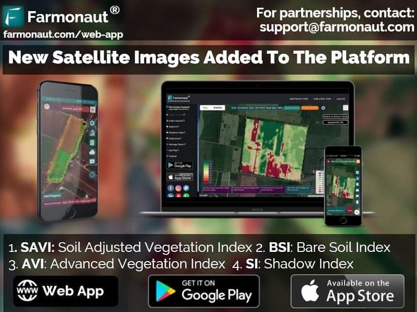
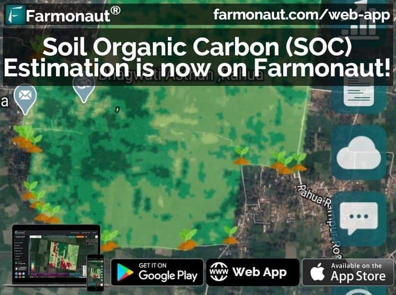
- Light/dark Green: healthy crops.
- Yellow: crops that need attention.
- Red: Barren land.
- Colormap 1: It is used for vegetation attending normal height.
- Colormap 2: It is used for vegetation having 2-3 inches height.
- NDVI (Normalised difference vegetative index): NDVI images help to differentiate the bare soil from forests or grassland, detect plants under stress and know the different crops and crop stages.
- AVI (Advanced Vegetation Index): AVI is used to study the changes in the crops and forests over time. It helps farmers through the satellite images about the various vegetation indicators.
- EVI (Enhanced Vegetation Index): EVI index uses additional wavelengths of light to correct NDVI errors. However, the NDVI results are very accurate in estimating crop health; there are few errors at atmospheric or ground level that affect the field results.Hence, the errors at atmospheric and ground level are corrected through EVI images.
- SAVI (Soil Adjusted Vegetation Index): SAVI is used to correct the NDVI index for the soil brightness in areas where vegetative cover is low. Hence, with the help of SAVI to know the soil health, schedule crop irrigation, monitor evaporation, drought and transpiration of the crops.
- NDRE (Normalized difference red edge) images: NDRE indexes are mainly used at the later growth stages of plants when they are mature and ready to harvest. It helps to know the amount of chlorophyll in the plants.
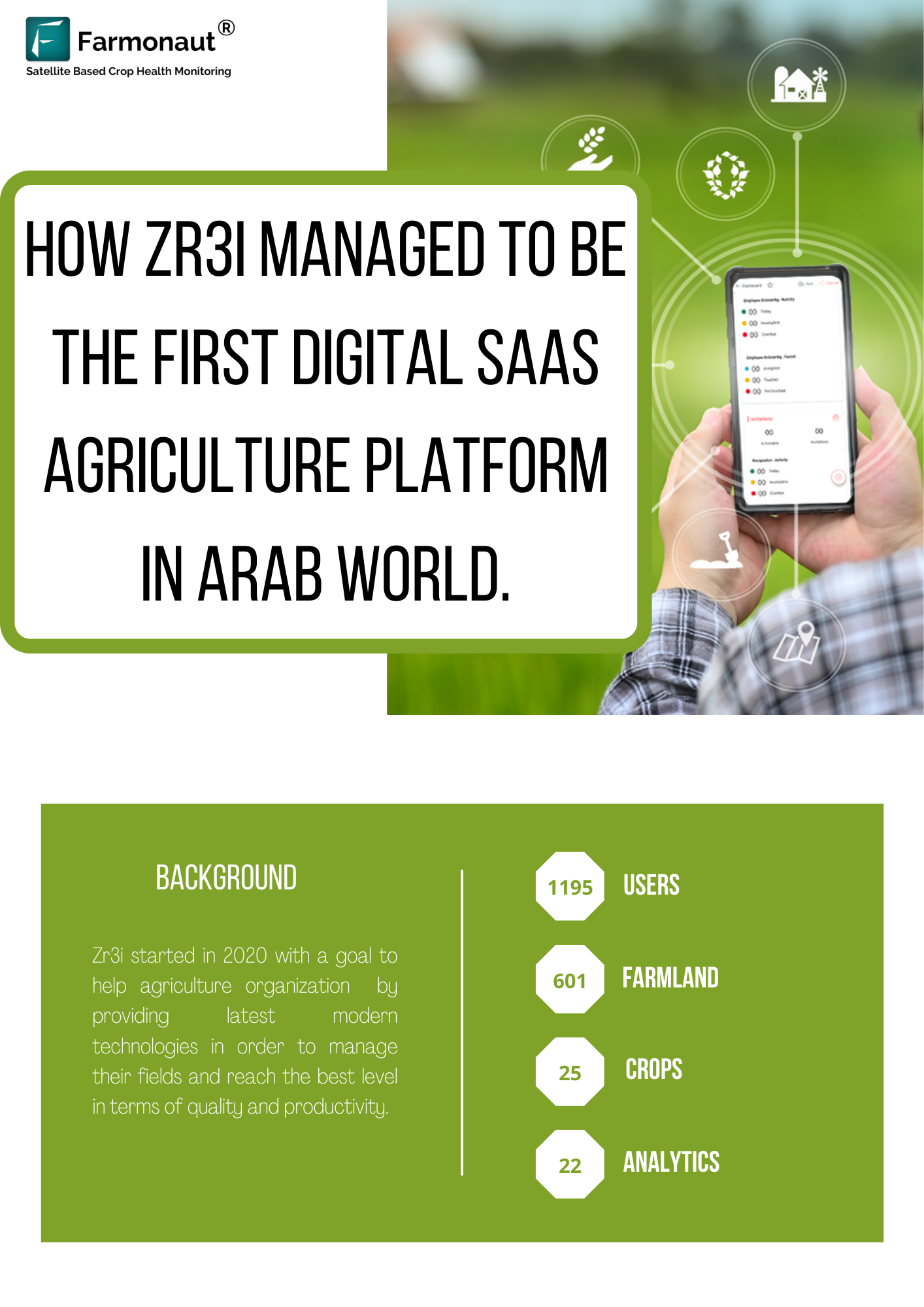
- Zr3i was shortlisted in top 10 finalist among 160 Egyptian StartUps for GDEXA | Mentoring and Skilling “Social Up for StartUp”.
- Zr3i is featured on a regional level across the Arab World.
- Zr3i is also starting digitization of the agriculture industry in Egypt with the German Government and Ministry of Agriculture.
- Zr3i has secured a place in the list of 9 most innovative Egyptian based Companies and Startups.
- Zr3i was announced as the Finalist at Northern African StartUp Awards 2021.


