INTRODUCTION: CROP AREA ESTIMATION
The two components of agricultural production estimation are crop area and yield estimation. In order to estimate yield, Producers generally measure the amount of a particular crop harvested in a sample area to estimate crop yield. The harvested crop is then weighed, and the entire crop production of the area is approximated from the sample.
A method for estimating and forecasting termed as a crop estimation allows analysts or farm owners to predict or calculate the potential tonnage of a particular crop. The estimation of the crop can be done at different levels such as village level, taluka level, district level, state level and national level. To obtain the most accurate results, it is advisable to estimate the crop area at distinct periods all across the season.
“WHY IS IT NECESSARY?”
Planning and resource allocation for the progress of the agricultural sector mainly rely on data on crop area, yield, and production. The planners and policymakers are incharge of formulating effective agricultural policies and making critical decisions on procurement, storage, public distribution, import, export, and other similar matters rely on accurate and timely information on crop area, yield, and production.
Crop area estimation also ensures global or national food security and helps in making reasonable import/export policies, as well as for adjusting food prices effectively.
“METHODS FOR CROP AREA ESTIMATION”
The best measuring technique for estimating crop area is determined by a number of operational parameters, such as land design, field shape, type of crop, cropping pattern, and available skills and resources.
Farmer assessment of crop area: In this method, the farmers are asked to estimate their field area by visiting the farmers’ field. However, this method is less time consuming and inexpensive. In contrast, this method is subjective and requires knowledge and experience.
GPS: GPS provides location and time information anywhere on earth. This method gives rapid and feasible measurements. But this method has a drawback that data would be missing for fields located in the remote areas and data could be affected due to weather conditions.
Rope and Compass method: this has been the traditional method majorly used. To its advantage, it provides accurate area measurements and errors can be evaluated on spot. However, it is a laborious and expensive method.
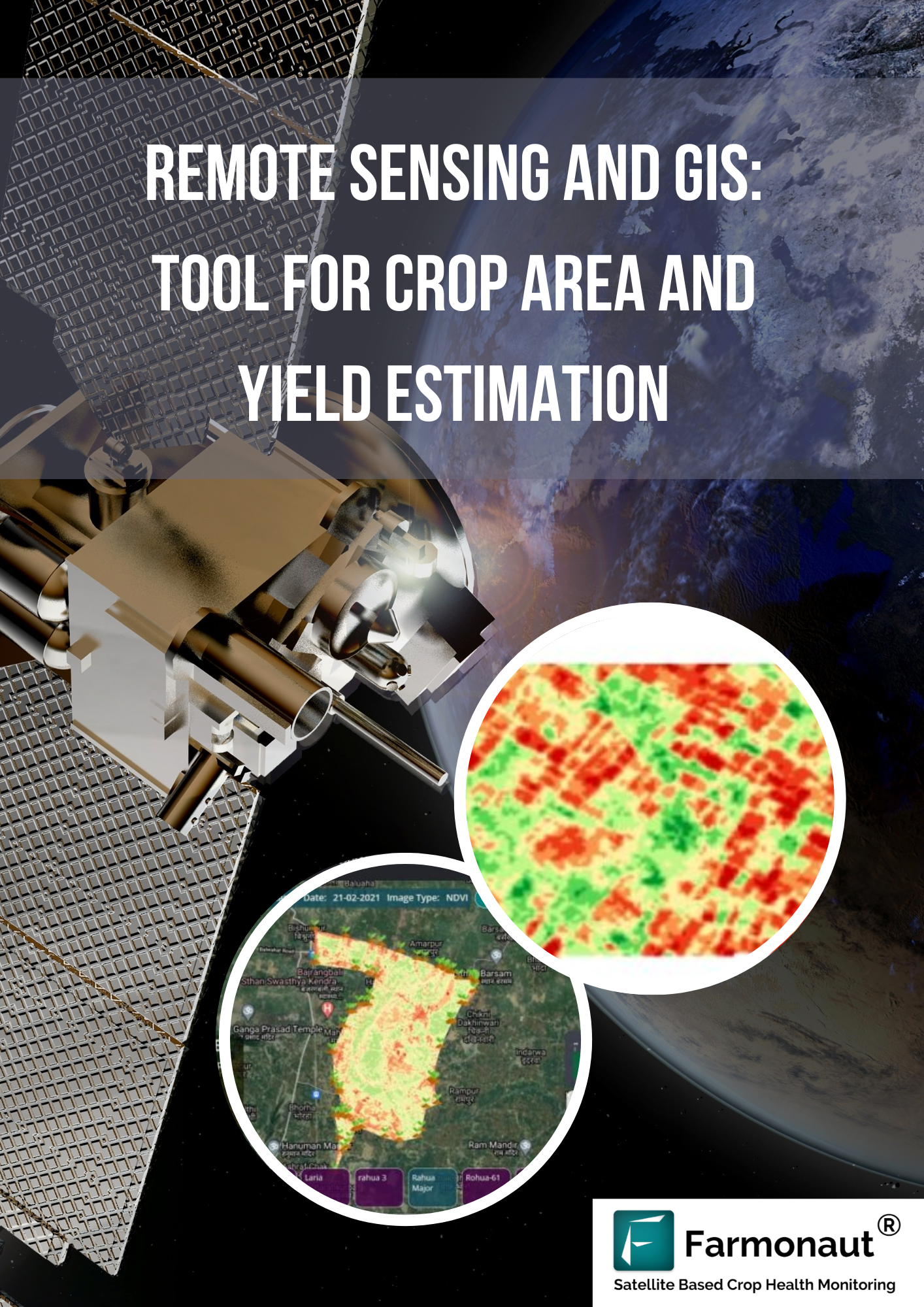
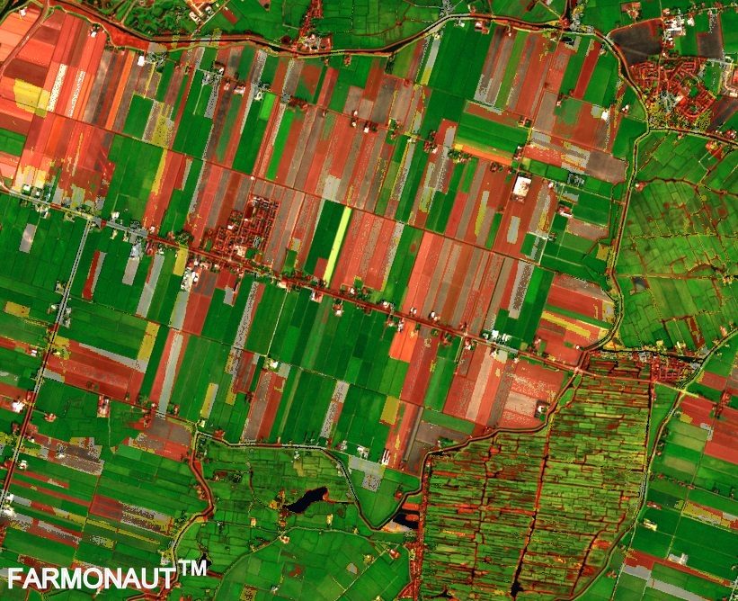
Remote Sensing and GIS: Remote sensing helps to collect data through satellite that helps to estimate crop area. The satellite images used give accurate results for the crop area estimation. For large areas such as district level, state level, this method works precisely. It is also useful in estimating hilly areas and the areas that are inaccessible. Farmonaut Technologies provides crop area estimation services to various agencies by Remote sensing method majorly for decision-making.
USE CASES OF CROP AREA ESTIMATION FOR DIFFERENT REGIONS
- Soybean Processors Association Of India (SOPA)
SOPA has been performing Crop Area Estimation in 50 districts of Madhya Pradesh, Maharashtra and Rajasthan. Soybean being the high valued oilseed crop requires information on the crop production to understand the crop sown. For the estimation of crop area and yield, optical remote sensing data source was used. Crop leaves being sensitive to the visible and infrared regions helps to estimate accurately. With the help of optical satellite images and Synthetic Aperture Radar (SAR) the kharif season crop could be mapped. SAR has the ability of operating wavelengths that can access data during cloud cover too.
This estimation method helped SOPA to determine Crop Area Sown, Crop Identification, Tracking of Sowing and harvesting patterns of the producers. All this information helps them in suggesting the prices of soybean oilseeds, export/import decisions and storage and distribution of oilseeds.
For more information on Project: Click here
- Rice Yield Calculation in Saharsa (Bihar)- 2021
The research was carried out in the rice crop in Saharsa, Bihar at the final stage of vegetation (i.e., 10-30 days before harvesting). For forecasting the yield of paddy, the data from Sentinel-2 satellite and Farmonaut’s Satellite based crop monitoring system. The yield was calculated using the NDVI (Normalized Difference Vegetation Index) and the Farmonaut platform helped in field mapping.
As a result the prediction of average yield was approximately similar to the data from the KVK (Krishi Vigyan Kendra). The yield forecasting with remote sensing gives less errors.
For more information on Project: Click here
- Makhana Area and Yield Calculation in Saharsa (Bihar) – 2022
Bihar being the largest producer of fox nuts, commonly known as makhana. Makhana is grown in stagnant water of wetlands or ponds. The study was conducted for the estimation of Makhana crop acreage using remote sensing. Sentinel-2 satellite data was used to determine the area with the parameters such as NDVI and LSWI (Land Surface Wetness Index).
As a result, the makhana area calculation is feasible. However, the accuracy of which can be improved by using different models. Also, it was found that depth of the pond also affects the accuracy therefore must be considered.
For more information on Project: Click here
- Potato Yield Estimation
Estimation of potato crop yield before the harvest period would be useful in making marketing decisions. Also, the early estimation of yield can help in detection of problems and help them reduce the losses.
According to the survey, it can be concluded that estimation of yield of potatoes using Remote sensing is a very tough process. In order to calculate yield various indices like NDVI, EVI, VCI, NDWI can be used.
For more information on Project: Click here
- Wheat yield Calculation in Saharsa(Bihar) – 2022
Using remote sensing data and specific algorithms with different vegetation indices, Farmonaut estimated wheat yield in the Saharsa district of Bihar during the Rabi season 2020-21.
Similar to the other crop estimation, Sentinel-2 was used in mapping the fields and the area and yield were calculated using NDVI and LAI (Leaf Area Index). In the procedure the estimation was done by using the LAI with WTGROWS model for mapping yield. If the weather conditions seem normal then the yield achieved would have less error. In the estimation, weather parameters do play an important role.
For more information on Project: Click here
CONCLUSION
Crop area estimation at different levels from village level to national level has been of great importance to agencies. Remote Sensing has been used as a tool for accurate and precise estimation of crop area and yield. The various regions of India have been using this technique with the help of Farmonaut Technologies to estimate crop area and yield of different crops. The results are obtained through the various indices used such as NDVI, LAI, NDWI and SAR. As a result, crop area and yield estimation helps in planning and allocation of resources, deciding government policies, maintaining national food security and many more benefits for the decision making.


