Revolutionizing Agriculture: Farmonaut’s Automated Crop Area Estimation Systems
In the ever-evolving world of agriculture, precision and efficiency are paramount. At Farmonaut, we’re proud to be at the forefront of this agricultural revolution, offering cutting-edge solutions that are transforming the way agribusinesses operate. Our flagship product, the automated crop area estimation system, is changing the game for farmers and agribusinesses alike. Let’s dive deep into how Farmonaut is reshaping the landscape of modern farming.
The Power of Automated Crop Area Estimation
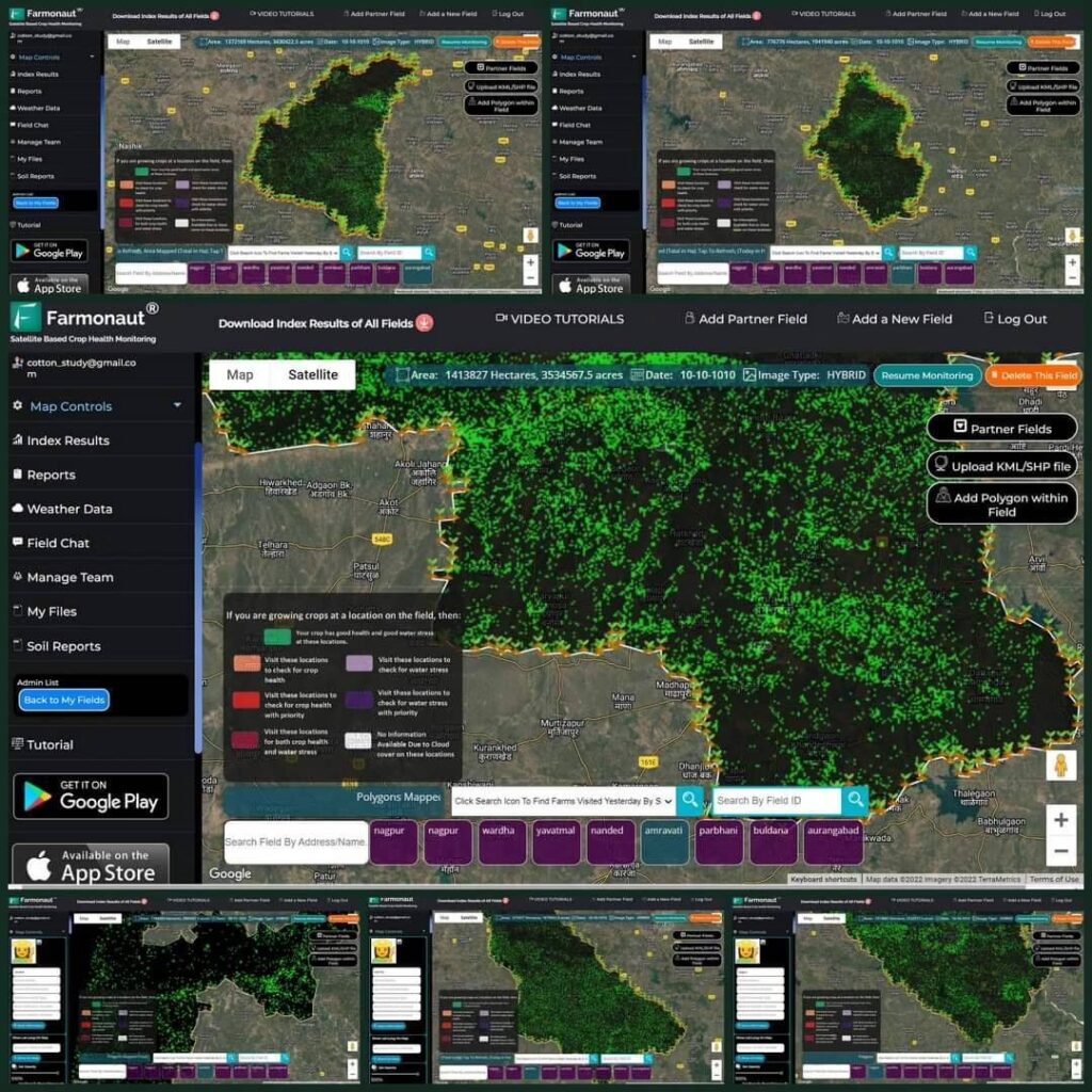
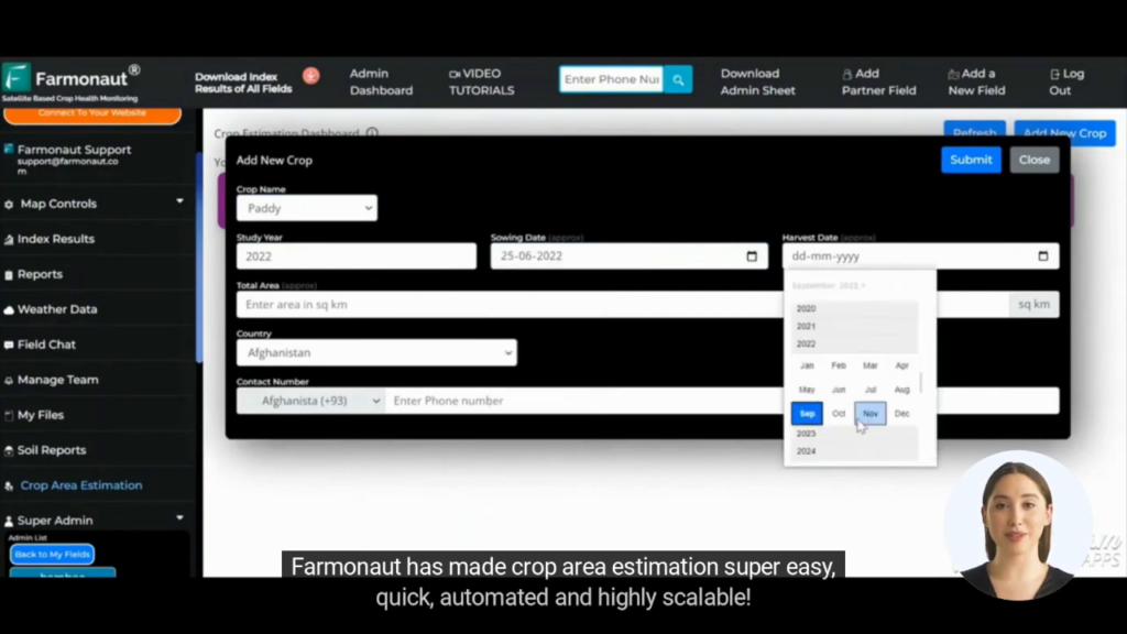
Gone are the days of manual, time-consuming, and often unreliable crop area estimation methods. With Farmonaut’s state-of-the-art technology, we’ve introduced a system that’s not only accurate but also incredibly efficient. Our automated crop area estimation technology leverages the power of satellite imagery, artificial intelligence, and machine learning to provide precise measurements of crop areas.
But what exactly makes our system stand out? Let’s break it down:
- Accuracy: Our system boasts an impressive accuracy rate, minimizing errors that are common in traditional estimation methods.
- Speed: What used to take days or even weeks can now be accomplished in a matter of hours.
- Scalability: Whether you’re managing a small farm or overseeing vast agricultural lands, our system can handle it all.
- Cost-effectiveness: By reducing the need for manual labor and expensive equipment, we’re making precision agriculture more accessible than ever.
The Farmonaut Advantage: A Comprehensive Solution
At Farmonaut, we understand that crop area estimation is just one piece of the puzzle. That’s why we’ve developed a comprehensive suite of tools designed to revolutionize every aspect of farm management. Our platform offers:
- Real-time crop health monitoring: Keep a close eye on your crops’ wellbeing with our advanced satellite imaging technology.
- AI-powered advisory system: Receive personalized recommendations for optimal crop management.
- Weather forecasting: Stay one step ahead of Mother Nature with accurate, localized weather predictions.
- Resource management tools: Optimize your use of water, fertilizers, and other crucial resources.
All these features work in tandem with our crop area estimation systems to provide a holistic solution for modern agriculture.
A Solution for Every Crop
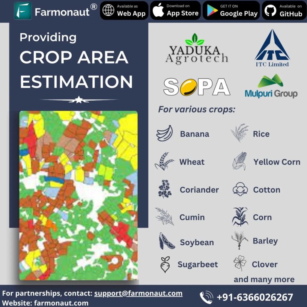
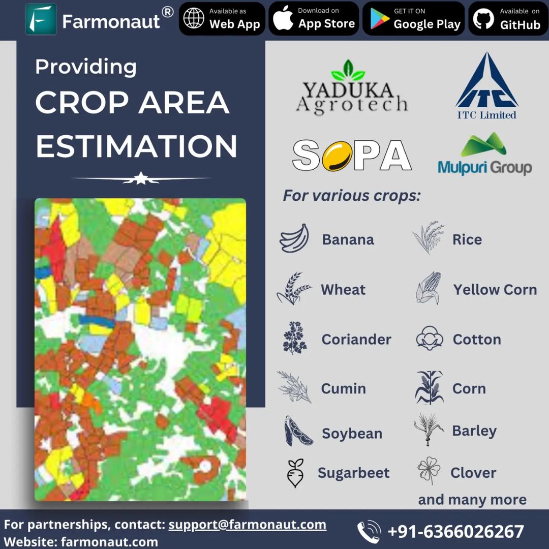
One of the most remarkable aspects of our system is its versatility. We’ve designed our technology to work with a wide variety of crops, including:
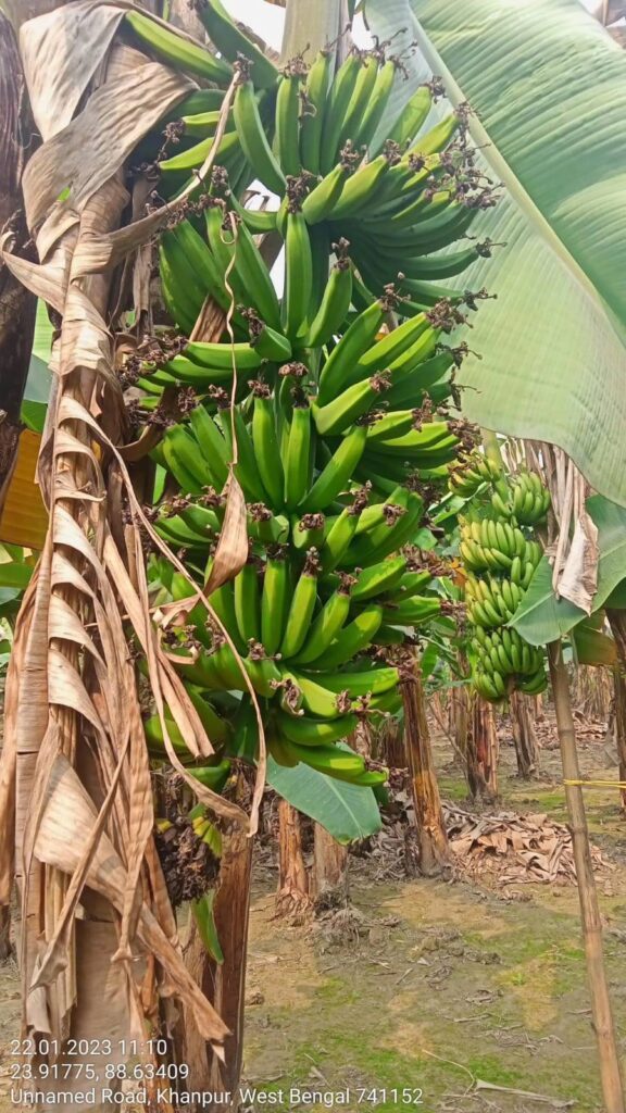
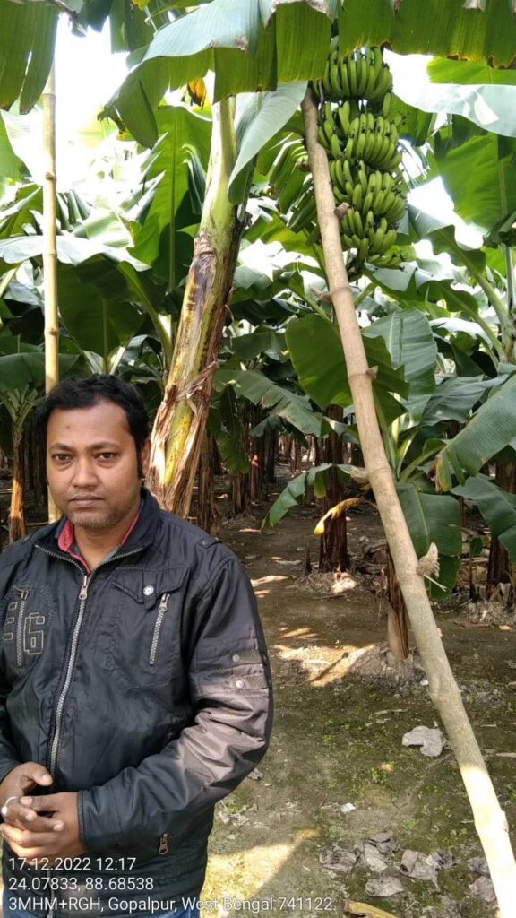
- Banana
- Rice
- Wheat
- Yellow Corn
- Coriander
- Cotton
- Cumin
- Corn
- Soybean
- Barley
- Sugarbeet
- Clover
And this list is continually growing! Our team of agricultural experts and data scientists are constantly working to expand our capabilities, ensuring that we can meet the needs of farmers across diverse agricultural landscapes.
Trusted by Industry Leaders
Our commitment to excellence hasn’t gone unnoticed. We’re proud to have earned the trust of some of the biggest names in the agricultural industry. Companies like SOPA, ITC Limited, Mulpuri Group, and Yaduka Agrotech have all experienced the Farmonaut difference firsthand.
These partnerships aren’t just a testament to our technology’s effectiveness; they’re a reflection of our dedication to customer satisfaction and our ability to deliver results on a large scale.
Global Reach, Local Impact
While we’re proud of our work with industry giants, we’re equally committed to serving farmers and agribusinesses of all sizes. Our platform is designed to be accessible and user-friendly, allowing users to estimate crop areas from anywhere in the world.
Whether you’re managing a small family farm in rural India or overseeing vast agricultural operations across multiple countries, Farmonaut has the tools you need to succeed. Our global reach is matched only by our understanding of local agricultural needs and challenges.
The Science Behind Our Success
At the heart of Farmonaut’s success is our cutting-edge technology. Our crop area estimation systems rely on a sophisticated blend of satellite imagery, artificial intelligence, and machine learning algorithms. Here’s a closer look at how it all works:
- Satellite Imaging: We use high-resolution satellite imagery to capture detailed views of agricultural lands.
- Image Processing: Our advanced algorithms process these images, identifying different crop types and their boundaries.
- AI Analysis: Artificial intelligence analyzes the processed images, calculating precise area measurements for each crop type.
- Machine Learning: Our system continuously learns and improves, becoming more accurate with each estimation.
- Data Integration: We integrate historical data, weather patterns, and other relevant information to provide comprehensive insights.
This multi-layered approach ensures that our crop estimates are not just accurate, but also provide valuable context for informed decision-making.
Farmonaut vs. Traditional Methods: A Comparison
To truly appreciate the value of Farmonaut’s automated crop area estimation system, it’s helpful to compare it with traditional methods:
| Feature | Farmonaut Satellite System | Drone-based Monitoring | IoT-based Farm Monitoring |
|---|---|---|---|
| Coverage Area | Global | Limited by flight range | Limited by sensor placement |
| Real-time Updates | Yes | Depends on flight frequency | Yes, but limited to sensor locations |
| Initial Setup Cost | Low | High | Medium to High |
| Maintenance | Minimal | Regular drone maintenance required | Regular sensor maintenance required |
| Weather Dependency | Low | High | Medium |
| Data Processing Time | Fast | Medium | Fast |
| Scalability | Highly scalable | Limited by drone fleet size | Limited by number of sensors |
As you can see, Farmonaut’s satellite-based system offers unparalleled coverage, cost-effectiveness, and scalability compared to other methods.
The Impact of Accurate Crop Area Estimation
The importance of accurate crop area estimation cannot be overstated. It’s a crucial factor in numerous aspects of agricultural planning and management:
- Yield Prediction: Accurate area measurements are essential for predicting crop yields, allowing farmers to plan harvests and manage expectations.
- Resource Allocation: Knowing exactly how much land is under cultivation helps in efficient allocation of water, fertilizers, and pesticides.
- Financial Planning: Precise area estimates are crucial for budgeting, loan applications, and insurance purposes.
- Policy Making: Governments rely on accurate crop area data for agricultural policy decisions and subsidy allocations.
- Market Analysis: Agribusinesses use crop area data to analyze market trends and make informed decisions about crop selection and production levels.
By providing accurate and timely crop area estimates, Farmonaut is empowering stakeholders at every level of the agricultural ecosystem to make better, more informed decisions.
The Future of Agriculture Technology
As pioneers in agriculture technology, we at Farmonaut are constantly looking towards the future. We believe that the integration of advanced technologies like satellite imaging, AI, and blockchain will continue to transform the agricultural landscape. Here are some trends we’re excited about:
- Predictive Analytics: Using historical data and machine learning to predict crop yields and potential issues before they arise.
- Blockchain for Traceability: Implementing blockchain technology to ensure transparency and traceability in the agricultural supply chain.
- Integration with IoT: Combining satellite data with ground-level IoT sensors for even more comprehensive farm monitoring.
- Climate-Smart Agriculture: Developing tools to help farmers adapt to and mitigate the effects of climate change.
- Precision Farming at Scale: Making high-precision farming techniques accessible to small and medium-sized farms worldwide.
At Farmonaut, we’re not just keeping pace with these trends – we’re driving them forward. Our commitment to innovation ensures that we’ll continue to offer cutting-edge solutions to the agricultural community for years to come.
Getting Started with Farmonaut
Ready to experience the Farmonaut difference? Getting started is easy:
- Visit our website at farmonaut.com
- Sign up for a free account to explore our basic features
- Choose the subscription plan that best fits your needs
- Download our mobile app for on-the-go access:
- Start monitoring your crops and making data-driven decisions!
For developers interested in integrating our technology into their own solutions, we offer a comprehensive API. Check out our API documentation to learn more.
Join the Farmonaut Family
We’re more than just a technology provider – we’re partners in your agricultural success. When you choose Farmonaut, you’re joining a community of forward-thinking farmers and agribusinesses committed to pushing the boundaries of what’s possible in agriculture.
Ready to take your farming to the next level? Subscribe to Farmonaut today:
Frequently Asked Questions (FAQ)
Q: How accurate is Farmonaut’s crop area estimation system?
A: Our system boasts a high level of accuracy, typically within 95-98% of ground-truth measurements. However, accuracy can vary depending on factors such as crop type, field size, and satellite image quality.
Q: How often is the crop area data updated?
A: We provide regular updates, typically every 5-7 days, depending on satellite pass frequency and cloud cover. Premium plans may offer more frequent updates.
Q: Can Farmonaut’s system distinguish between different crop types?
A: Yes, our AI algorithms are trained to identify and distinguish between various crop types, allowing for accurate area estimation of specific crops within mixed cultivation areas.
Q: Is Farmonaut’s system suitable for small farms?
A: Absolutely! Our system is designed to be scalable and can provide valuable insights for farms of all sizes, from small family plots to large industrial operations.
Q: How does Farmonaut handle cloud cover and bad weather?
A: While cloud cover can affect image quality, we use advanced algorithms and multiple satellite sources to minimize this impact. In cases of persistent cloud cover, we may use radar satellite data or interpolate from previous clear images.
Q: Can I integrate Farmonaut’s data with my existing farm management software?
A: Yes, we offer API access that allows for seamless integration with many popular farm management platforms. Our developer documentation provides details on how to implement this integration.
Q: Is my farm data secure with Farmonaut?
A: We take data security very seriously. All farm data is encrypted and stored securely, and we adhere to strict privacy policies to ensure your information remains confidential.
Q: Does Farmonaut offer customer support?
A: Yes, we provide comprehensive customer support. Our team is available to assist you with any questions or issues you may encounter while using our platform.
Q: Can Farmonaut’s system be used for crop insurance purposes?
A: Many insurance providers accept Farmonaut’s crop area estimates for insurance purposes. However, it’s best to check with your specific insurance provider to confirm their acceptance of our data.
Q: How does Farmonaut contribute to sustainable farming practices?
A: By providing accurate crop area estimates and health monitoring, Farmonaut helps farmers optimize resource use, reduce waste, and implement more sustainable farming practices.
Conclusion: Embracing the Future of Agriculture
As we stand at the cusp of a new era in agriculture, the importance of precision, efficiency, and data-driven decision-making cannot be overstated. Farmonaut’s automated crop area estimation systems represent a significant leap forward in agricultural technology, offering farmers and agribusinesses the tools they need to thrive in an increasingly complex and challenging environment.
From small family farms to large industrial operations, our technology is helping to increase yields, reduce costs, and promote sustainable farming practices. By harnessing the power of satellite imagery, artificial intelligence, and machine learning, we’re not just estimating crop areas – we’re providing a window into the future of agriculture.
As we continue to innovate and expand our capabilities, we remain committed to our core mission: making precision agriculture accessible and affordable for farmers worldwide. We believe that by empowering farmers with the right tools and insights, we can help create a more sustainable and food-secure future for all.
Join us on this exciting journey. Whether you’re a small-scale farmer looking to optimize your operations, an agribusiness seeking to streamline your processes, or a government agency aiming to improve agricultural policy, Farmonaut has the solutions you need.
Ready to revolutionize your approach to agriculture? Contact us today at support@farmonaut.com or call us at +91-6366026267. Let’s work together to take your farming to new heights!
Remember, with Farmonaut, the future of farming is in your hands. Let’s cultivate success together!


