Mapping Banana Farms in West Bengal: Revolutionizing Agriculture with Satellite Technology
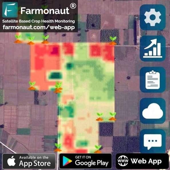
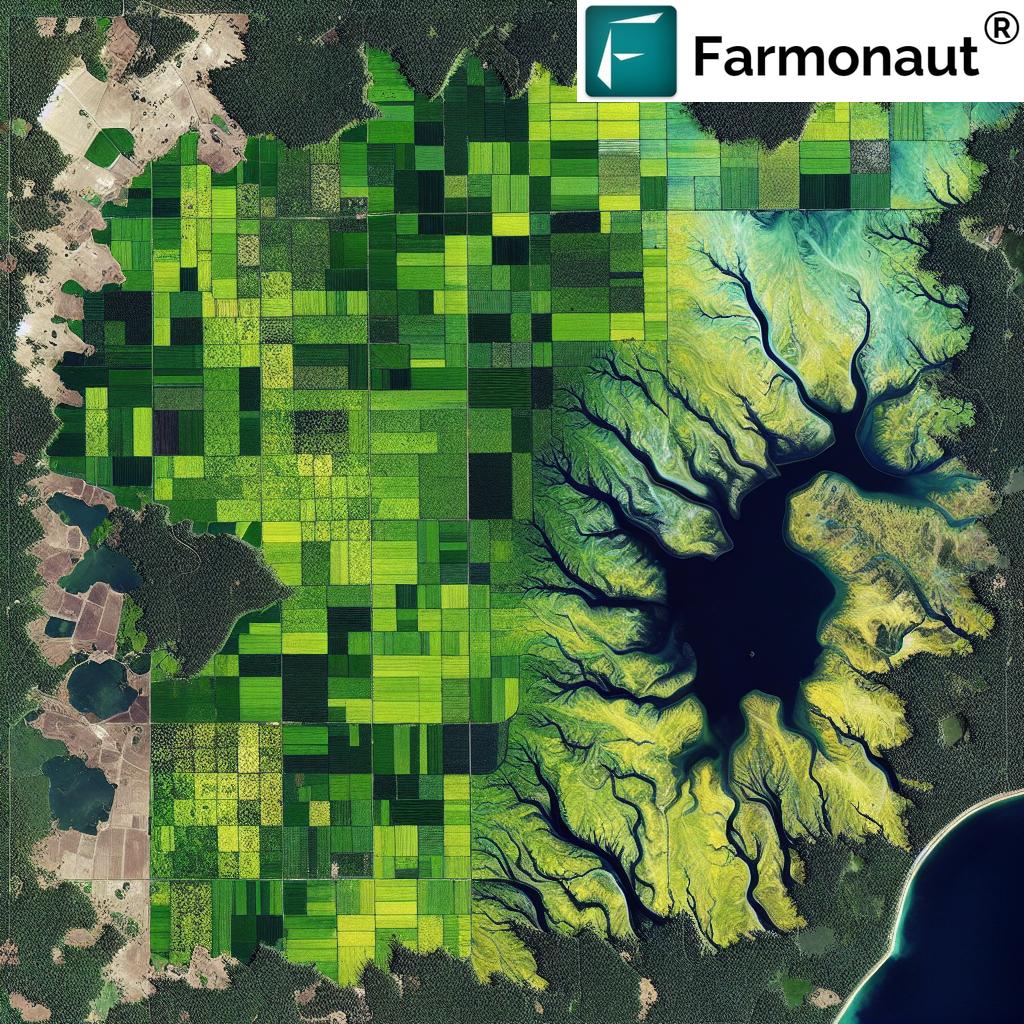
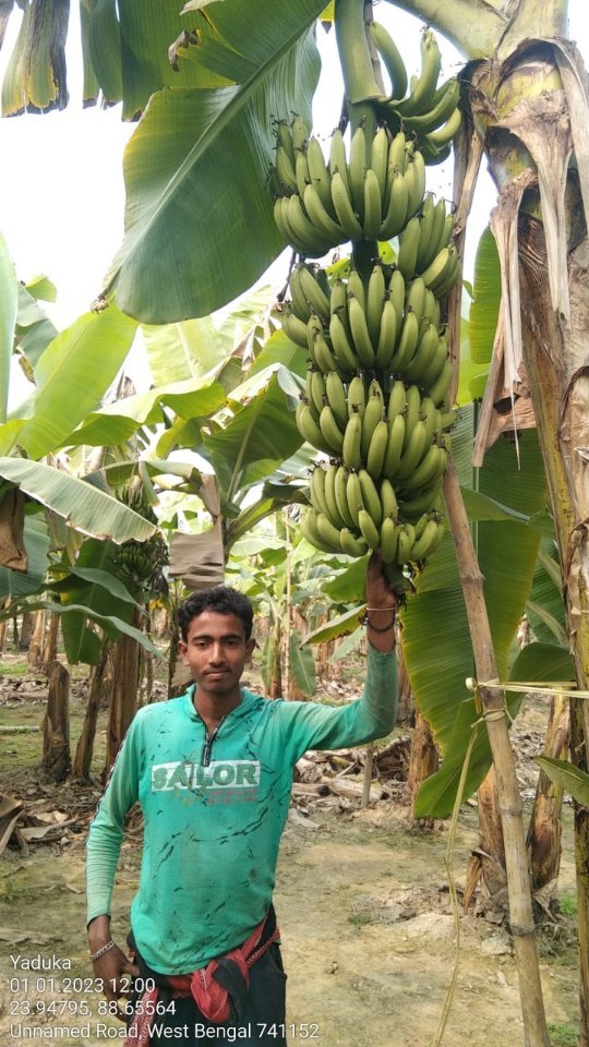
At Farmonaut, we’re excited to share our latest achievement in the realm of precision agriculture. Our team has successfully mapped more banana farms in West Bengal, India, using cutting-edge satellite technology and remote sensing techniques. This breakthrough not only showcases the power of our innovative approach but also highlights the immense potential for revolutionizing
banana farming and agriculture as a whole.
The Importance of Banana Farming in India
Banana cultivation plays a significant role in India’s agricultural landscape. While our recent mapping efforts focused on West Bengal, it’s worth noting that
banana farming in Maharashtra and other states is equally crucial to the country’s agricultural output. As we continue to expand our mapping capabilities, we aim to cover more regions and provide valuable insights to farmers across India.
Leveraging Satellite Technology for Precision Agriculture
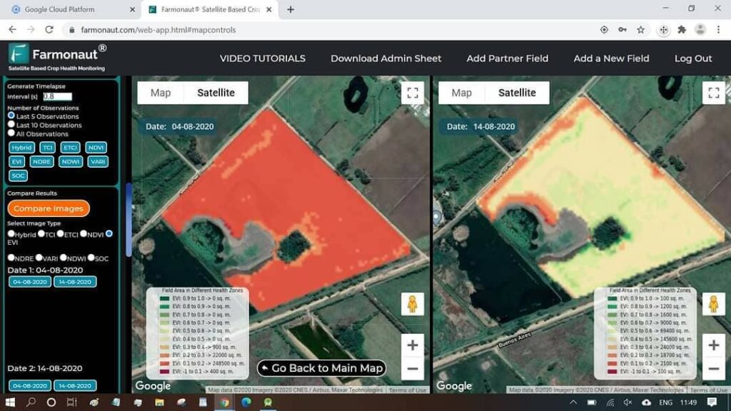
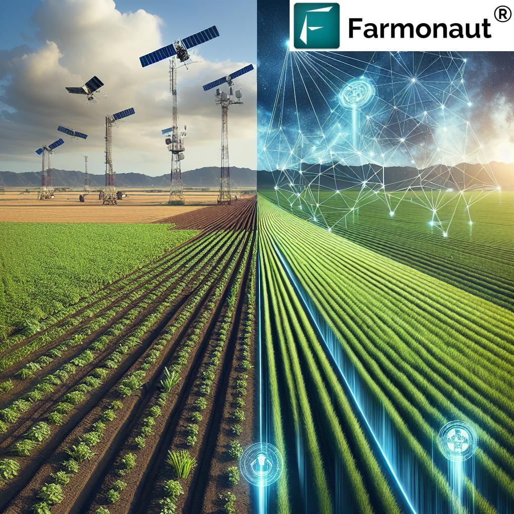
Our approach to mapping banana farms relies heavily on advanced satellite imagery and remote sensing techniques. By utilizing multispectral satellite data, we can analyze various aspects of crop health, soil moisture, and overall farm conditions. This technology allows us to provide farmers with accurate, real-time information that can significantly improve their decision-making processes.
Key Benefits of Satellite-Based Farm Monitoring
- Real-time crop health assessment
- Early detection of pest infestations and diseases
- Optimization of irrigation and fertilizer usage
- Improved yield prediction and harvest planning
- Cost-effective compared to traditional monitoring methods
Farmonaut’s Satellite System vs. Drone and IoT-Based Monitoring
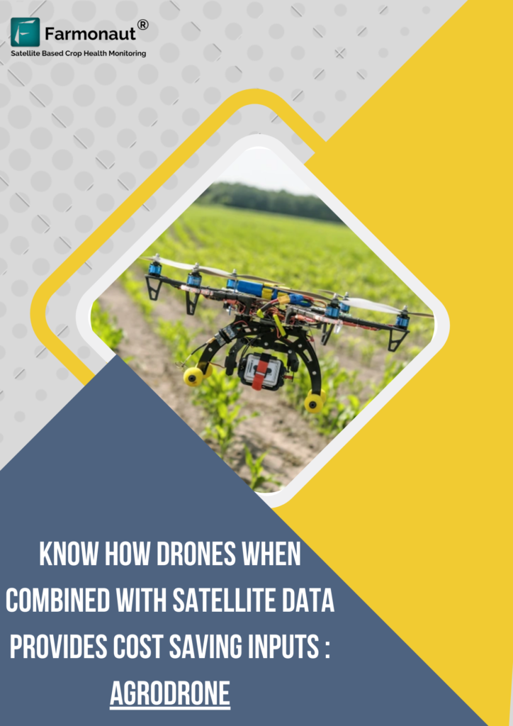
While drones and IoT devices have their place in modern agriculture, our satellite-based system offers unique advantages for large-scale farm monitoring. Here’s a comparison of these technologies:
| Feature |
Farmonaut Satellite System |
Drone-Based Monitoring |
IoT-Based Monitoring |
| Coverage Area |
Large scale (thousands of hectares) |
Medium scale (hundreds of hectares) |
Small scale (individual fields) |
| Data Collection Frequency |
Regular intervals (every few days) |
On-demand (requires manual operation) |
Continuous (real-time data) |
| Initial Setup Cost |
Low (no hardware required) |
High (drone purchase and training) |
Medium to High (sensors and network setup) |
| Maintenance |
Minimal (software updates only) |
Regular (hardware maintenance and battery replacement) |
Regular (sensor calibration and replacement) |
| Weather Dependency |
Low (can penetrate clouds) |
High (affected by wind and rain) |
Low (mostly weather-independent) |
| Data Processing |
Automated (AI and machine learning) |
Semi-automated (requires human interpretation) |
Automated (real-time data analysis) |
The Science Behind Our Mapping Technology
Our mapping process relies on a combination of advanced remote sensing techniques and proprietary algorithms. One of the key indices we use is the
NDWI (Normalized Difference Water Index) in remote sensing. This index helps us assess vegetation water content and soil moisture levels, which are crucial factors in banana cultivation.
Understanding NDWI in Remote Sensing
NDWI is calculated using the near-infrared (NIR) and short-wave infrared (SWIR) bands of satellite imagery. The formula is:
NDWI = (NIR – SWIR) / (NIR + SWIR)
This index provides valuable insights into:
- Plant water content
- Soil moisture levels
- Potential water stress in crops
- Changes in water bodies and wetlands
By analyzing NDWI data alongside other vegetation indices like NDVI (Normalized Difference Vegetation Index), we can create a comprehensive picture of banana farm health and productivity.
Implementing Precision Agriculture in Banana Farming
Our satellite-based mapping technology enables banana farmers to implement precision agriculture techniques effectively. Here’s how our system benefits banana cultivation:
- Optimized Irrigation: By monitoring soil moisture levels, farmers can implement precise irrigation schedules, ensuring that banana plants receive the right amount of water at the right time.
- Disease Detection: Early identification of potential disease outbreaks allows for timely intervention, reducing crop losses and minimizing the use of pesticides.
- Nutrient Management: Analysis of vegetation health helps farmers apply fertilizers more efficiently, reducing costs and environmental impact.
- Yield Prediction: Accurate yield forecasts based on historical data and current crop health enable better harvest planning and market strategies.
- Climate Adaptation: Long-term monitoring of farm conditions helps farmers adapt to changing climate patterns and optimize their cultivation practices.
The Future of Banana Farming with Farmonaut
As we continue to map more banana farms in West Bengal and beyond, we’re excited about the potential impact of our technology on the agricultural sector. Our goal is to empower farmers with data-driven insights that can lead to more sustainable and profitable farming practices.
Expanding Our Services
We’re constantly working on improving and expanding our services to meet the evolving needs of farmers. Some of our upcoming features include:
- AI-powered crop yield prediction models
- Integration with weather forecasting systems for more accurate planning
- Blockchain-based traceability for banana supply chains
- Mobile apps for easy access to farm data and recommendations
To learn more about our services and how they can benefit your farm, visit our
app redirect page.
Leveraging Farmonaut’s API for Agricultural Innovation
For developers and agritech companies looking to integrate our satellite data into their own systems, we offer a robust API. Our
Satellite API provides access to a wealth of agricultural data, including vegetation indices, soil moisture levels, and weather information.
To get started with our API and explore its capabilities, check out our
API documentation.
Accessing Farmonaut on Mobile Devices
To make our services more accessible to farmers in the field, we’ve developed mobile apps for both Android and iOS platforms. These apps allow farmers to monitor their crops, receive alerts, and access valuable insights on the go.
Join the Agricultural Revolution with Farmonaut
As we continue to map more banana farms and expand our services, we invite farmers, agronomists, and agricultural enthusiasts to join us in revolutionizing the industry. By leveraging the power of satellite technology and data-driven insights, we can create a more sustainable and productive future for agriculture.
Frequently Asked Questions (FAQ)
Q: How often does Farmonaut update its satellite imagery?
A: We typically provide updates every 3-5 days, depending on satellite availability and weather conditions.
Q: Can Farmonaut’s technology be used for crops other than bananas?
A: Yes, our satellite-based monitoring system is applicable to a wide range of crops, including cereals, fruits, and vegetables.
Q: Is Farmonaut’s service available worldwide?
A: While we’re continuously expanding our coverage, we currently focus on major agricultural regions in India and select international locations. Contact us for specific availability in your area.
Q: How accurate is the yield prediction feature?
A: Our yield prediction models have an accuracy rate of 85-90%, which is continuously improving as we gather more data and refine our algorithms.
Q: Can small-scale farmers benefit from Farmonaut’s technology?
A: Absolutely! We offer scalable solutions that cater to farms of all sizes, making precision agriculture accessible to small-scale farmers as well.
Q: How does Farmonaut ensure data privacy and security?
A: We employ industry-standard encryption and security protocols to protect all farmer data. Our systems are regularly audited to ensure compliance with data protection regulations.
Conclusion: Embracing the Future of Banana Farming
As we continue to map more banana farms in West Bengal and expand our services across India, we’re excited about the transformative potential of our technology. By combining satellite imagery, AI-driven analytics, and user-friendly interfaces, Farmonaut is making precision agriculture accessible to farmers of all scales.
The future of banana farming – and agriculture as a whole – lies in data-driven decision making and sustainable practices. With Farmonaut’s innovative solutions, farmers can optimize their resources, increase yields, and adapt to changing environmental conditions more effectively than ever before.
We invite you to join us on this journey towards a more efficient and sustainable agricultural future. Whether you’re a small-scale farmer looking to improve your crop yields or a large agribusiness seeking to optimize operations across vast plantations, Farmonaut has the tools and expertise to help you succeed.
Stay tuned for more updates as we continue to revolutionize the world of agriculture, one farm at a time!
 At Farmonaut, we’re excited to share our latest achievement in the realm of precision agriculture. Our team has successfully mapped more banana farms in West Bengal, India, using cutting-edge satellite technology and remote sensing techniques. This breakthrough not only showcases the power of our innovative approach but also highlights the immense potential for revolutionizing banana farming and agriculture as a whole.


