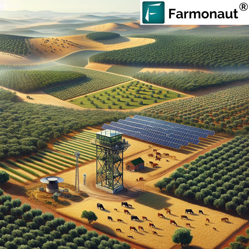
Revolutionizing European Agriculture: How Satellite Imagery and AI Drive Sustainable Farming Practices
“Satellite imagery enables automatic change detection in land use, covering up to 95% of European agricultural areas.”
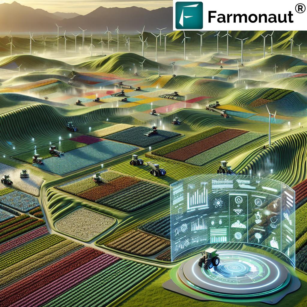
In recent years, we have witnessed a remarkable transformation in European agriculture, driven by the integration of cutting-edge satellite imagery and artificial intelligence (AI) technologies. These advancements are revolutionizing the way we approach farming, enabling more sustainable practices, and empowering civil governments to make data-driven decisions. In this comprehensive exploration, we’ll delve into how satellite-based crop management and precision farming technologies are reshaping the agricultural landscape across Europe.
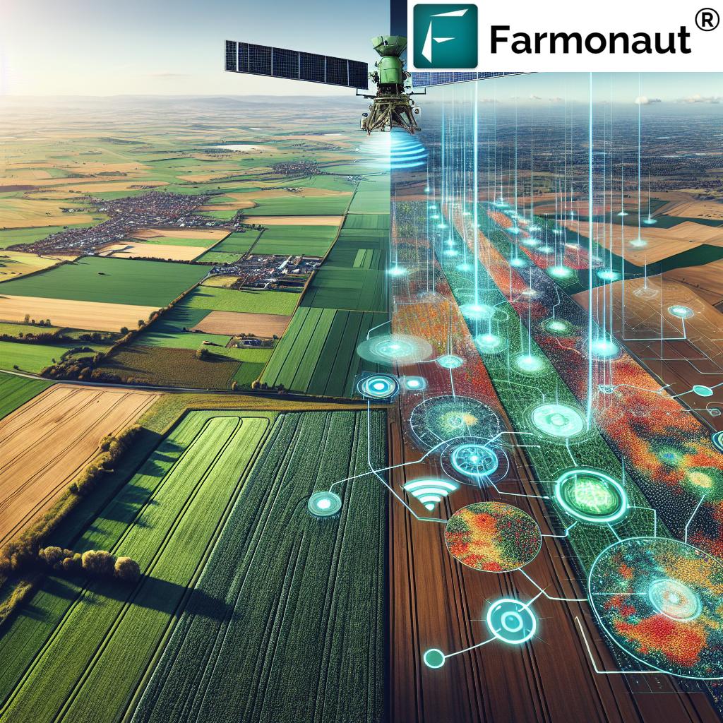
The Power of Satellite Imagery in Agriculture
Satellite imagery for agriculture has emerged as a game-changer in the European farming sector. By harnessing the power of remote sensing in agriculture, we can now monitor vast areas of land with unprecedented accuracy and frequency. This technology enables us to:
- Detect changes in land use and crop health
- Monitor soil moisture levels
- Assess vegetation indices
- Track crop growth patterns
These capabilities are transforming how civil governments and agricultural agencies operate, allowing for more efficient resource management and informed decision-making.
AI-Driven Agricultural Data Analytics
The integration of AI with satellite imagery has given rise to sophisticated agricultural data analytics platforms. These tools process vast amounts of data from various sources, including:
- Multispectral satellite images
- Weather data
- Soil sensors
- Historical crop yield information
By analyzing this data, AI algorithms can provide valuable insights into crop health, predict yields, and recommend optimal farming practices. This level of analysis was previously unattainable without the combination of satellite technology and artificial intelligence.
Precision Farming Technologies: A New Era of Agriculture
Precision farming technologies are at the forefront of this agricultural revolution. These advanced tools allow farmers to:
- Apply inputs (water, fertilizers, pesticides) with pinpoint accuracy
- Optimize crop rotation strategies
- Implement variable rate technology for resource application
- Monitor crop health in real-time
By leveraging these technologies, European farmers can significantly reduce waste, minimize environmental impact, and increase crop yields. This approach not only benefits individual farmers but also contributes to the overall sustainability of the agricultural sector.
Enhancing Environmental Protection through Satellite Monitoring
One of the most significant advantages of satellite-based crop management is its ability to support environmental protection efforts. Civil governments and environmental agencies can use this technology to:
- Monitor land use changes
- Track deforestation
- Assess biodiversity
- Evaluate the impact of agricultural practices on ecosystems
This level of monitoring enables policymakers to develop and enforce regulations that promote sustainable farming practices while protecting natural resources.
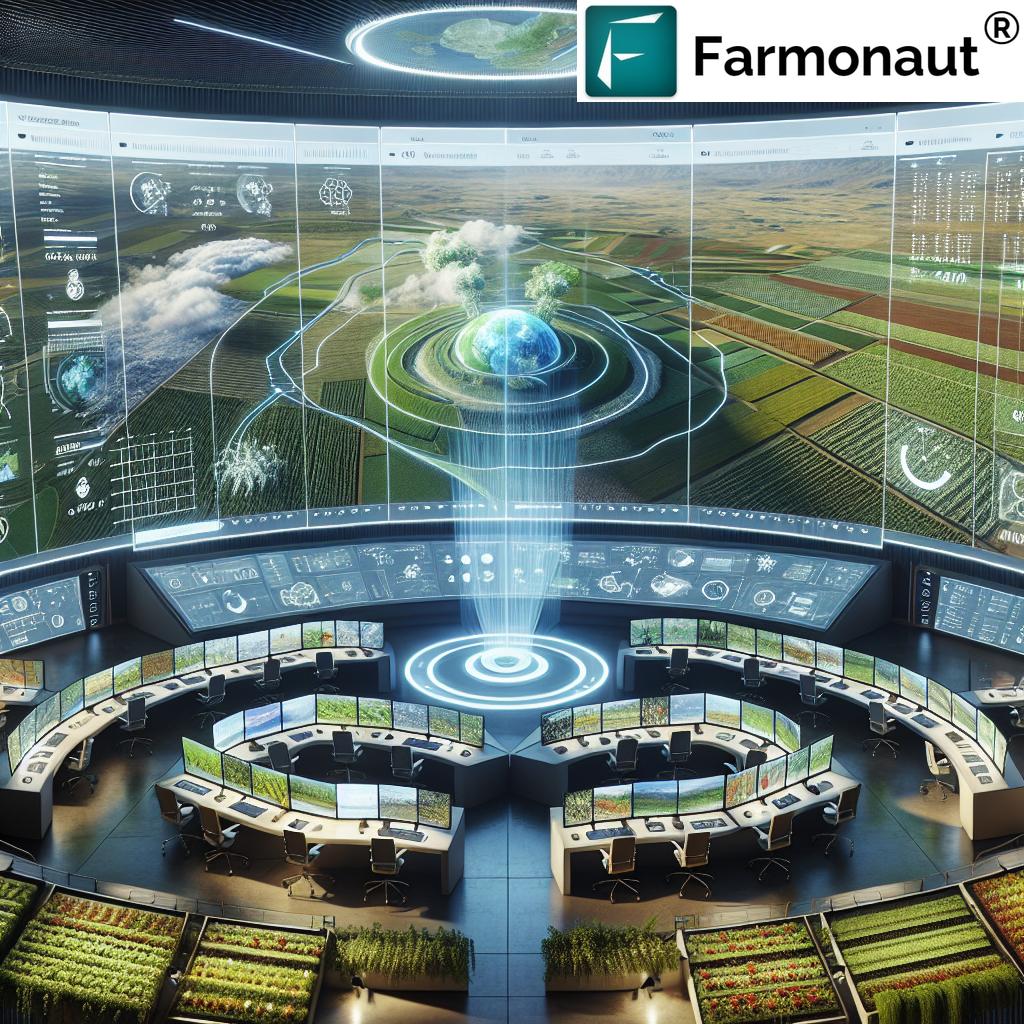
Streamlining Agricultural Resource Management
The adoption of satellite imagery and AI in agriculture has led to significant improvements in resource management. Government agencies and agricultural organizations can now:
- Allocate water resources more efficiently
- Optimize fertilizer and pesticide use
- Plan crop rotations based on soil health data
- Manage livestock grazing patterns
These advancements not only reduce costs but also contribute to more sustainable farming practices across Europe.
Empowering Decision-Making in Civil Government
Satellite imagery and AI are empowering civil governments to make more informed decisions regarding agricultural policies and resource allocation. This technology enables:
- Accurate crop yield forecasting
- Early detection of crop diseases and pests
- Assessment of drought impacts
- Monitoring of agricultural subsidies compliance
With these capabilities, government agencies can respond more quickly to challenges and develop targeted interventions to support farmers and protect food security.
“High-frequency satellite monitoring can reduce agricultural resource management costs by up to 30% for European government agencies.”
The Role of Farmonaut in European Agriculture
In the context of this agricultural revolution, Farmonaut stands out as a pioneering force in satellite-based farm management solutions. Through its advanced platform, Farmonaut offers:
- Real-time crop health monitoring
- AI-based advisory systems
- Blockchain-based traceability
- Resource management tools
These features align perfectly with the needs of European farmers and government agencies seeking to implement sustainable and efficient agricultural practices.
Advancing Sustainable Farming Practices
The integration of satellite imagery and AI is driving the adoption of sustainable farming practices across Europe. These technologies enable:
- Precision irrigation
- Targeted application of fertilizers and pesticides
- Conservation tillage
- Improved crop rotation strategies
By implementing these practices, farmers can reduce their environmental footprint while maintaining or even increasing crop yields.
Digital Transformation in Agriculture
The adoption of satellite imagery and AI represents a significant step in the digital transformation of agriculture. This transformation includes:
- Implementation of Internet of Things (IoT) devices
- Use of big data analytics
- Integration of machine learning algorithms
- Development of mobile applications for farm management
These technologies are creating a more connected and data-driven agricultural sector, enabling farmers to make decisions based on real-time information and predictive analytics.
Enhancing Crop Monitoring Solutions
Advanced crop monitoring solutions powered by satellite imagery and AI are revolutionizing how we track and manage crop health. These solutions offer:
- Early detection of crop stress
- Identification of nutrient deficiencies
- Monitoring of crop growth stages
- Assessment of crop damage from extreme weather events
By providing this level of detail, these technologies enable farmers and government agencies to respond quickly to potential issues, minimizing crop losses and optimizing yields.
Explore Farmonaut’s API for advanced crop monitoring
The Impact on European Agricultural Policies
The integration of satellite imagery and AI in agriculture is influencing European agricultural policies in several ways:
- Informing subsidy allocation decisions
- Supporting the implementation of environmental regulations
- Facilitating compliance monitoring
- Enhancing food security strategies
These technologies provide policymakers with the data and insights needed to develop more effective and sustainable agricultural policies.
Addressing Challenges in European Agriculture
While the benefits of satellite imagery and AI in agriculture are significant, there are challenges that need to be addressed:
- Ensuring data privacy and security
- Bridging the digital divide between large and small farms
- Training farmers and agricultural workers in new technologies
- Integrating satellite data with other sources of agricultural information
Overcoming these challenges will be crucial for the widespread adoption and success of these technologies across Europe.
Access Farmonaut’s API Developer Docs for integration guidance
The Future of European Agriculture
Looking ahead, the future of European agriculture is closely tied to the continued development and integration of satellite imagery and AI technologies. We can expect to see:
- More sophisticated predictive models for crop yields and market trends
- Enhanced integration of satellite data with ground-based sensors and drones
- Increased automation in farm management processes
- Development of AI-powered decision support systems for farmers
These advancements will further drive the transformation of European agriculture towards a more sustainable, efficient, and productive future.
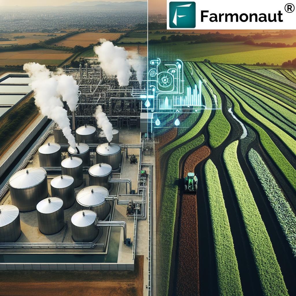
Comparative Analysis: Traditional vs. Satellite-Enabled Agriculture
| Agricultural Aspect | Traditional Methods | Satellite-Enabled Methods |
|---|---|---|
| Resource Efficiency | Limited optimization | 20-30% improvement in water and fertilizer use |
| Crop Yield | Variable, weather-dependent | 15-20% increase on average |
| Environmental Impact | Higher risk of over-application | 25-35% reduction in chemical use |
| Cost Savings | Baseline | 10-15% reduction in operational costs |
| Compliance Monitoring | Manual, time-consuming | 90% automation, real-time tracking |
Conclusion
The revolution in European agriculture driven by satellite imagery and AI is transforming the way we approach farming, resource management, and environmental protection. These technologies are empowering farmers, government agencies, and policymakers with the tools and insights needed to make more informed decisions, implement sustainable practices, and address the challenges facing the agricultural sector.
As we continue to harness the power of satellite-based crop management and precision farming technologies, we can look forward to a more sustainable, efficient, and productive agricultural future for Europe. The integration of these advanced technologies not only benefits individual farmers but also contributes to broader goals of food security, environmental conservation, and economic stability.
By embracing these innovations and addressing the challenges they present, European agriculture is poised to lead the way in sustainable farming practices, setting an example for the rest of the world to follow.
FAQ Section
Q: How does satellite imagery improve agricultural practices?
A: Satellite imagery provides real-time data on crop health, soil moisture, and land use changes, enabling farmers to make informed decisions about irrigation, fertilization, and pest control, leading to more efficient and sustainable farming practices.
Q: What role does AI play in agricultural data analytics?
A: AI processes vast amounts of satellite and ground-based data to provide insights on crop health, predict yields, and recommend optimal farming practices, enhancing decision-making for farmers and policymakers.
Q: How do precision farming technologies benefit European farmers?
A: Precision farming technologies allow for targeted application of resources, optimized crop rotation, and real-time monitoring, resulting in reduced waste, lower environmental impact, and increased crop yields.
Q: What are the environmental benefits of satellite-based crop management?
A: Satellite-based crop management supports environmental protection by enabling efficient resource use, monitoring land use changes, and assessing the impact of agricultural practices on ecosystems.
Q: How is Farmonaut contributing to European agriculture?
A: Farmonaut offers advanced satellite-based farm management solutions, including real-time crop health monitoring, AI-based advisory systems, and resource management tools, supporting sustainable and efficient agricultural practices across Europe.


