Revolutionizing Precision Agriculture: Farmonaut’s Advanced Earth Observation Analytics for Smart Farming in Brno
“Farmonaut’s precision agriculture software integrates data from over 10 Earth observation satellites for smart farming analytics.”
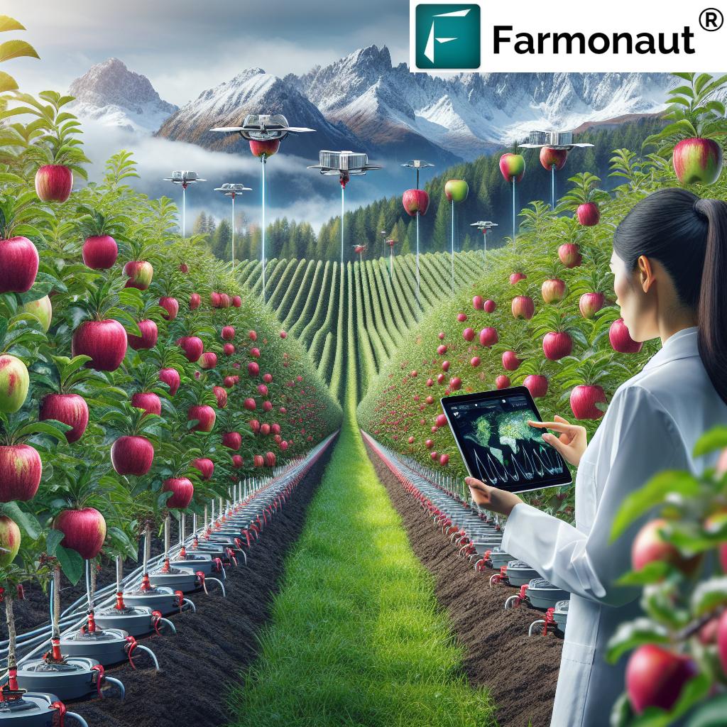
Welcome to the future of agriculture in Brno, Czech Republic, where Farmonaut is leading the charge in revolutionizing smart farming through advanced Earth observation data analytics. As we delve into the world of precision agriculture software and cutting-edge agritech solutions, we’ll explore how our innovative approach is transforming the agricultural landscape in this vibrant city and beyond.
The Power of Earth Observation in Agriculture
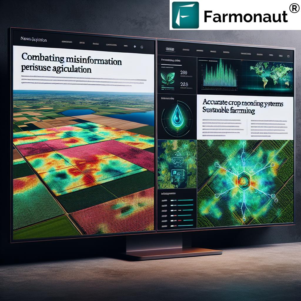
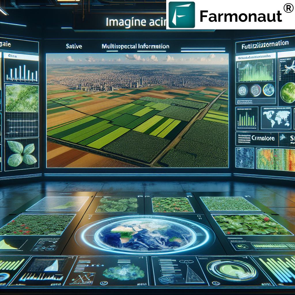
At Farmonaut, we harness the power of Earth observation data to provide farmers and agricultural professionals with unparalleled insights into their fields. Our precision agriculture software utilizes advanced satellite imagery and remote sensing technologies to offer a comprehensive view of crop health, soil conditions, and environmental factors that impact farm productivity.
- Real-time crop monitoring
- Soil moisture analysis
- Weather pattern predictions
- Vegetation health indices (NDVI)
By leveraging these Earth observation data analytics, we empower farmers in Brno and across the world to make data-driven decisions that optimize resource use, increase yields, and promote sustainable farming practices.
Variable Rate Fertilization: Precision at Its Best
One of the key technologies we offer at Farmonaut is variable rate fertilization. This innovative approach allows farmers to apply fertilizers with unprecedented precision, tailoring the application rates to specific areas within a field based on soil fertility, crop requirements, and historical yield data.
Our variable rate fertilization technology utilizes:
- High-resolution satellite imagery
- Advanced soil sampling techniques
- Machine learning algorithms for data interpretation
By implementing variable rate fertilization, farmers in Brno can significantly reduce fertilizer waste, minimize environmental impact, and optimize crop yields – all while cutting costs and improving overall farm efficiency.
Multispectral Imaging: Seeing Beyond the Visible
Multispectral imaging is another cornerstone of our precision agriculture software. This technology allows us to capture and analyze light reflectance across various wavelengths, providing insights that go far beyond what the human eye can see.
Benefits of multispectral imaging in agriculture include:
- Early detection of crop stress
- Identification of pest and disease outbreaks
- Assessment of crop nutrient status
- Prediction of yield potential
By integrating multispectral imaging into our Earth observation data analytics, we offer farmers in Brno a powerful tool for proactive crop management and informed decision-making.
Remote Sensing for Crop Management: A Bird’s Eye View
Remote sensing is at the heart of our smart farming technologies. By utilizing data from satellites, drones, and other aerial platforms, we provide farmers with a comprehensive overview of their fields, enabling them to monitor crop development, identify problem areas, and track changes over time.
Key applications of remote sensing in crop management include:
- Crop type mapping
- Growth stage monitoring
- Yield estimation
- Drought assessment
Our remote sensing capabilities allow farmers in Brno to make informed decisions about irrigation, pest control, and harvest timing, ultimately leading to improved crop quality and increased profitability.
Innovative Soil Sampling Techniques
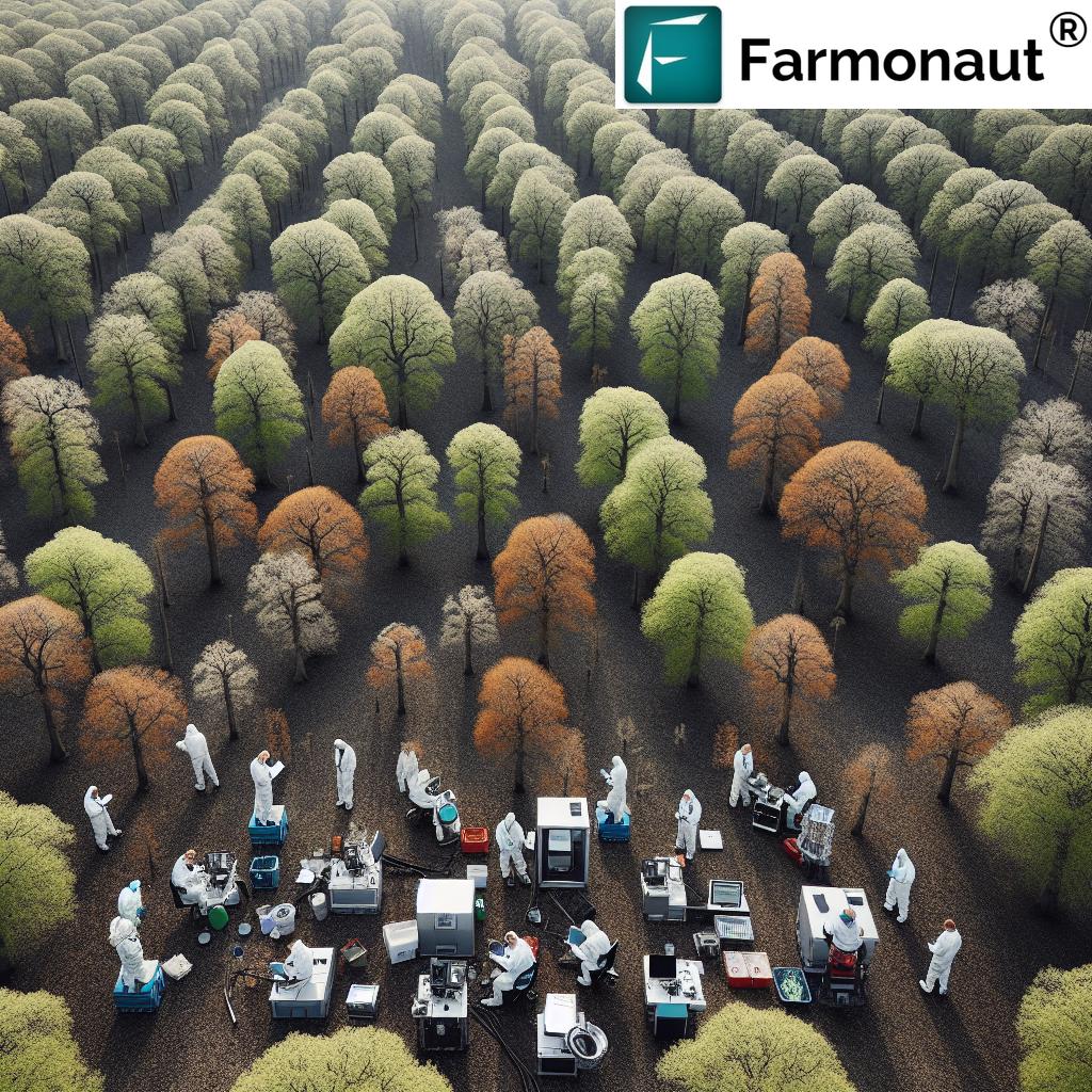
“Advanced soil sampling techniques used by Farmonaut can analyze up to 20 different soil properties for optimized crop management.”
At Farmonaut, we understand that healthy soil is the foundation of successful farming. That’s why we’ve developed innovative soil sampling techniques that go beyond traditional methods, providing farmers with a detailed understanding of their soil’s composition and health.
Our advanced soil sampling approach includes:
- Grid-based sampling for precise spatial analysis
- Deep core sampling to assess subsoil conditions
- Spectral analysis for rapid nutrient assessment
- Integration with satellite data for comprehensive soil mapping
By combining these innovative soil sampling techniques with our Earth observation data analytics, we offer farmers in Brno a complete picture of their soil health, enabling them to make targeted improvements and optimize crop growth conditions.
Agricultural Field Trials: Pushing the Boundaries of Innovation
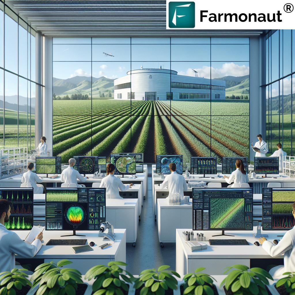
To continuously improve our precision agriculture software and smart farming technologies, we conduct extensive agricultural field trials. These trials allow us to test new methodologies, validate our data analytics, and refine our recommendations for farmers in Brno and beyond.
Our field trials focus on:
- Evaluating new crop varieties
- Testing innovative farming practices
- Assessing the efficacy of our Earth observation data analytics
- Developing region-specific crop management strategies
Through these trials, we ensure that our precision agriculture software remains at the cutting edge of agritech innovation, providing farmers with the most effective tools for maximizing their productivity and sustainability.
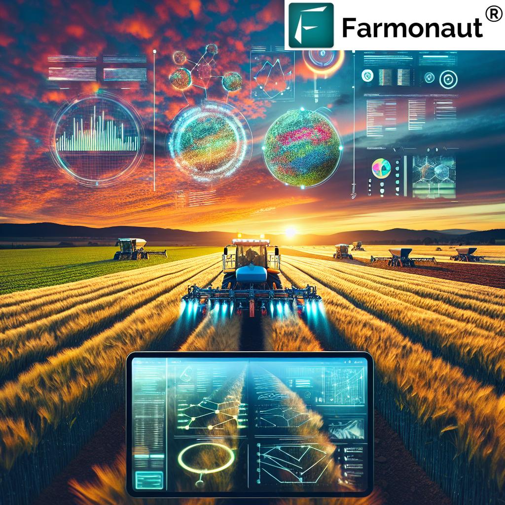
Machine Learning in Agriculture: Transforming Farm Decision-Making
At Farmonaut, we leverage the power of machine learning to transform raw data into actionable insights for farmers. Our agritech machine learning algorithms analyze vast amounts of Earth observation data, historical yield information, and environmental factors to provide accurate predictions and recommendations.
Key applications of machine learning in our precision agriculture software include:
- Crop yield prediction
- Pest and disease forecasting
- Optimized irrigation scheduling
- Automated crop classification
By harnessing the power of machine learning, we empower farmers in Brno to make data-driven decisions that optimize their operations and increase their profitability.
Agricultural GIS Solutions: Mapping the Future of Farming
Our agricultural GIS solutions form the backbone of our precision agriculture software, allowing farmers to visualize and analyze spatial data related to their fields. By integrating various data layers, including satellite imagery, soil maps, and yield data, we provide a comprehensive tool for farm planning and management.
Benefits of our agricultural GIS solutions include:
- Field boundary mapping and area calculation
- Crop rotation planning
- Precision application of inputs
- Yield mapping and analysis
With our GIS tools, farmers in Brno can easily identify trends, patterns, and anomalies in their fields, leading to more informed decision-making and improved farm management practices.
Farmonaut’s API and Web Map Services: Accessible Analytics for All
We believe in making advanced agricultural analytics accessible to farmers and developers worldwide. That’s why we offer our API and web map services, allowing seamless integration of our Earth observation data analytics into existing farm management systems or custom applications.
Our API and web map services provide:
- Access to real-time satellite imagery
- Vegetation indices calculations
- Weather data and forecasts
- Soil moisture estimates
By offering these services, we empower developers and agricultural professionals to create innovative solutions that address specific farming challenges in Brno and beyond.
Explore our API capabilities: Farmonaut API
Learn more with our API Developer Docs: API Documentation
Daily Planning Tools for Smart Farming
Effective farm management requires daily attention and planning. Our precision agriculture software includes comprehensive daily planning tools that help farmers in Brno stay on top of their operations and make informed decisions throughout the growing season.
Key features of our daily planning tools include:
- Task scheduling and prioritization
- Weather-based activity recommendations
- Field-specific alerts and notifications
- Resource allocation optimization
By integrating these planning tools with our Earth observation data analytics, we provide farmers with a powerful platform for managing their day-to-day operations efficiently and effectively.
Specialized Solutions: Potato Planting and Barley Seeding
At Farmonaut, we understand that different crops require specialized approaches. That’s why we offer tailored solutions for specific crops, such as potatoes and barley, which are important to the agricultural landscape in Brno and the surrounding regions.
For potato planting, our precision agriculture software provides:
- Optimal planting date recommendations based on soil temperature and moisture
- Variable rate seeding maps for maximizing yield potential
- Disease risk monitoring and early warning systems
- Harvest timing optimization based on crop maturity indices
For barley seeding, we offer:
- Seeding rate optimization based on soil fertility and expected rainfall
- Variety selection recommendations for specific field conditions
- Nitrogen application timing and rate guidance
- Yield prediction models for informed marketing decisions
These specialized solutions demonstrate our commitment to providing farmers with the most relevant and effective tools for their specific crops and growing conditions.
Integrating Copernicus Data for Enhanced Insights
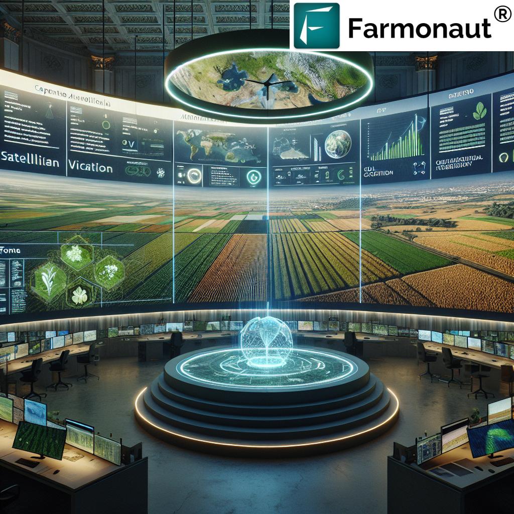
To provide the most comprehensive and accurate Earth observation data analytics, we integrate data from the Copernicus program, Europe’s earth observation system. This integration allows us to offer farmers in Brno and across Europe access to high-quality, frequently updated satellite imagery and environmental data.
Benefits of Copernicus data integration include:
- Improved spatial and temporal resolution of field observations
- Access to specialized data products, such as land surface temperature and soil moisture
- Long-term historical data for trend analysis and benchmarking
- Complementary data to enhance our existing satellite imagery sources
By leveraging Copernicus data, we ensure that our precision agriculture software provides the most up-to-date and reliable information for smart farming decision-making.
SAR Technology: All-Weather Crop Monitoring
In addition to optical satellite imagery, we utilize Synthetic Aperture Radar (SAR) technology to provide all-weather crop monitoring capabilities. SAR can penetrate clouds and operate in darkness, ensuring continuous monitoring even in challenging weather conditions.
Key applications of SAR in our precision agriculture software include:
- Soil moisture estimation
- Crop biomass assessment
- Flood and waterlogging detection
- Crop type classification in cloudy regions
By incorporating SAR technology, we offer farmers in Brno a reliable and consistent source of field information, regardless of weather conditions or time of day.
Advanced Visualization Tools for Agricultural Data
To make our Earth observation data analytics easily understandable and actionable, we provide advanced visualization tools as part of our precision agriculture software. These tools allow farmers to explore their data in intuitive and meaningful ways.
Our visualization capabilities include:
- Interactive field maps with customizable layers
- Time-series animations to show crop development over time
- 3D terrain models for topography and drainage analysis
- Comparative views for benchmarking against historical data or regional averages
These visualization tools empower farmers in Brno to gain deeper insights from their data and communicate complex information effectively with stakeholders.
Precision Agriculture Technologies Comparison
| Technology Name | Primary Function | Data Source | Key Benefits | Estimated Yield Improvement (%) | Estimated Cost Savings (%) |
|---|---|---|---|---|---|
| Variable Rate Fertilization | Optimize fertilizer application | Satellite, Soil Sensors | Reduced input costs, Improved nutrient efficiency | 10-15% | 15-20% |
| Multispectral Imaging | Crop health assessment | Satellite, Drones | Early stress detection, Targeted interventions | 5-10% | 10-15% |
| Remote Sensing for Crop Management | Comprehensive field monitoring | Satellite, Aerial Imagery | Improved decision-making, Timely interventions | 8-12% | 12-18% |
| Advanced Soil Sampling | Detailed soil analysis | Ground Sensors, Lab Analysis | Optimized soil management, Improved crop nutrition | 7-12% | 10-15% |
| Agricultural GIS Solutions | Spatial data management and analysis | Multiple (integrated data) | Enhanced farm planning, Efficient resource allocation | 5-8% | 8-12% |
| Machine Learning for Farm Decision-Making | Predictive analytics and automation | Multiple (integrated data) | Data-driven insights, Improved forecasting | 10-20% | 15-25% |
Empowering Farmers with Accessible Technology
At Farmonaut, we’re committed to making our precision agriculture software and smart farming technologies accessible to farmers of all scales. Our user-friendly platforms are designed to be intuitive and easy to use, regardless of technical expertise.
Access our solutions through:
Farmonaut Subscriptions
Frequently Asked Questions
Q: How accurate is Farmonaut’s satellite-based crop monitoring?
A: Our satellite-based crop monitoring is highly accurate, with resolution capabilities down to 3 meters. We use a combination of optical and radar satellite data to ensure reliable information even in cloudy conditions.
Q: Can Farmonaut’s precision agriculture software be used for organic farming?
A: Absolutely! Our software is adaptable to various farming practices, including organic farming. It can help organic farmers optimize their resource use and monitor crop health without relying on synthetic inputs.
Q: How often is the satellite data updated in Farmonaut’s system?
A: We provide updates every 3-5 days, depending on the satellite constellation and weather conditions. This frequent updating ensures that farmers have access to the most current information for decision-making.
Q: Is Farmonaut’s technology suitable for small-scale farmers?
A: Yes, our solutions are designed to be scalable and accessible to farmers of all sizes. We offer various subscription tiers to accommodate different farm sizes and needs.
Q: How does Farmonaut ensure the security and privacy of farm data?
A: We take data security very seriously. All farm data is encrypted and stored securely in compliance with GDPR and other relevant data protection regulations. We never share individual farm data without explicit consent.
Conclusion: The Future of Farming in Brno and Beyond
As we’ve explored in this comprehensive overview, Farmonaut’s advanced Earth observation analytics and precision agriculture software are revolutionizing smart farming in Brno and around the world. By harnessing the power of satellite technology, machine learning, and innovative agricultural techniques, we’re empowering farmers to make data-driven decisions that optimize yields, reduce costs, and promote sustainability.
From variable rate fertilization to multispectral imaging, from advanced soil sampling to cutting-edge GIS solutions, our technologies are designed to address the complex challenges of modern agriculture. As we continue to innovate and refine our offerings, we remain committed to our mission of making precision agriculture accessible and affordable for farmers of all scales.
The future of farming is here, and it’s powered by data. Join us at Farmonaut as we lead the agricultural revolution, one field at a time. Together, we can create a more productive, profitable, and sustainable future for agriculture in Brno and beyond.
To stay updated on the latest developments in precision agriculture and smart farming technologies, subscribe to our newsletter and follow us on social media. Let’s cultivate success together with the power of Earth observation analytics!


