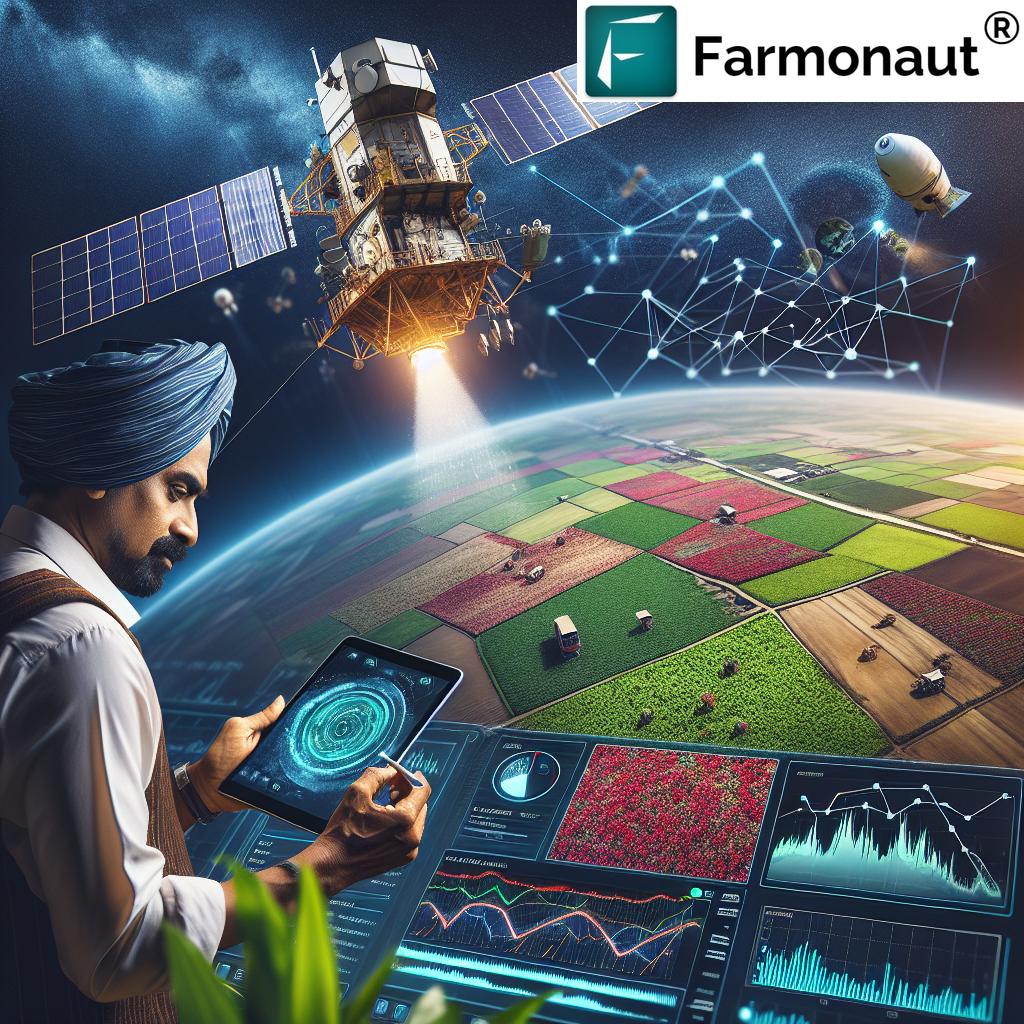
Mastering Precision Agriculture: A Comprehensive Guide to Satellite Imagery and Farm Management with Farmonaut
“Satellite imagery can detect soil moisture levels with up to 95% accuracy, revolutionizing precision agriculture techniques.”
Welcome to our comprehensive guide on mastering precision agriculture through satellite imagery and advanced farm management techniques. In this extensive blog post, we’ll explore how Farmonaut’s cutting-edge technology is revolutionizing the agricultural landscape, providing farmers with powerful tools to optimize their crop production and resource management.
Introduction to Precision Agriculture and Satellite Imagery
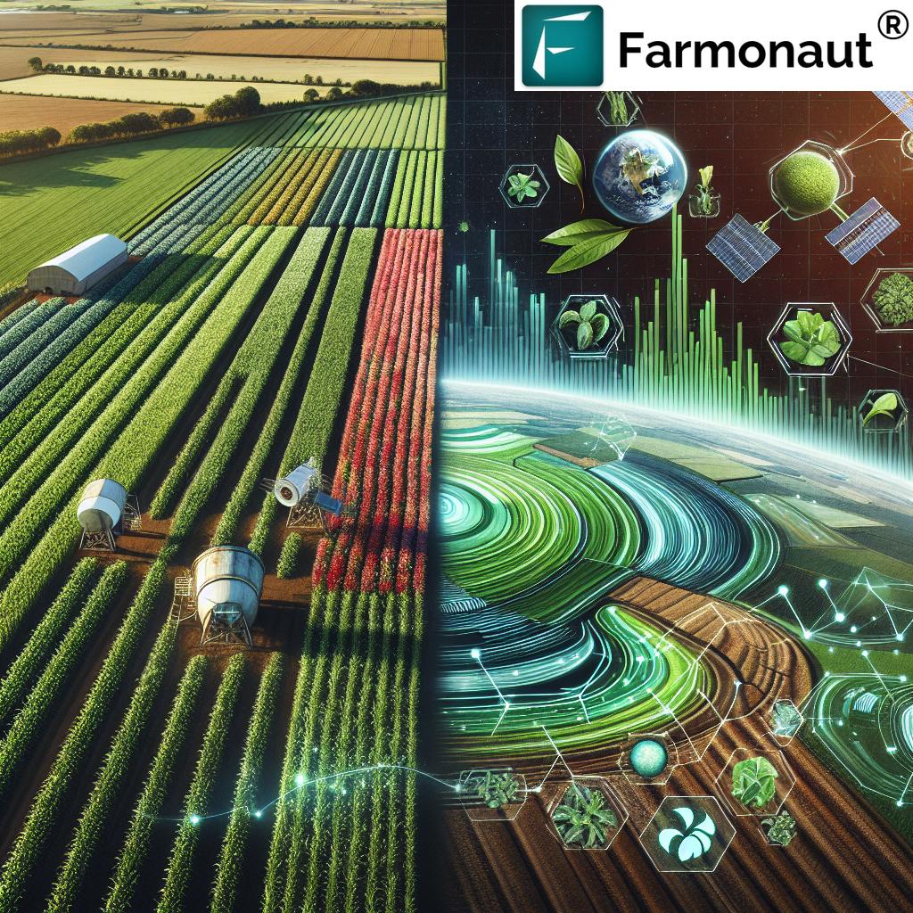
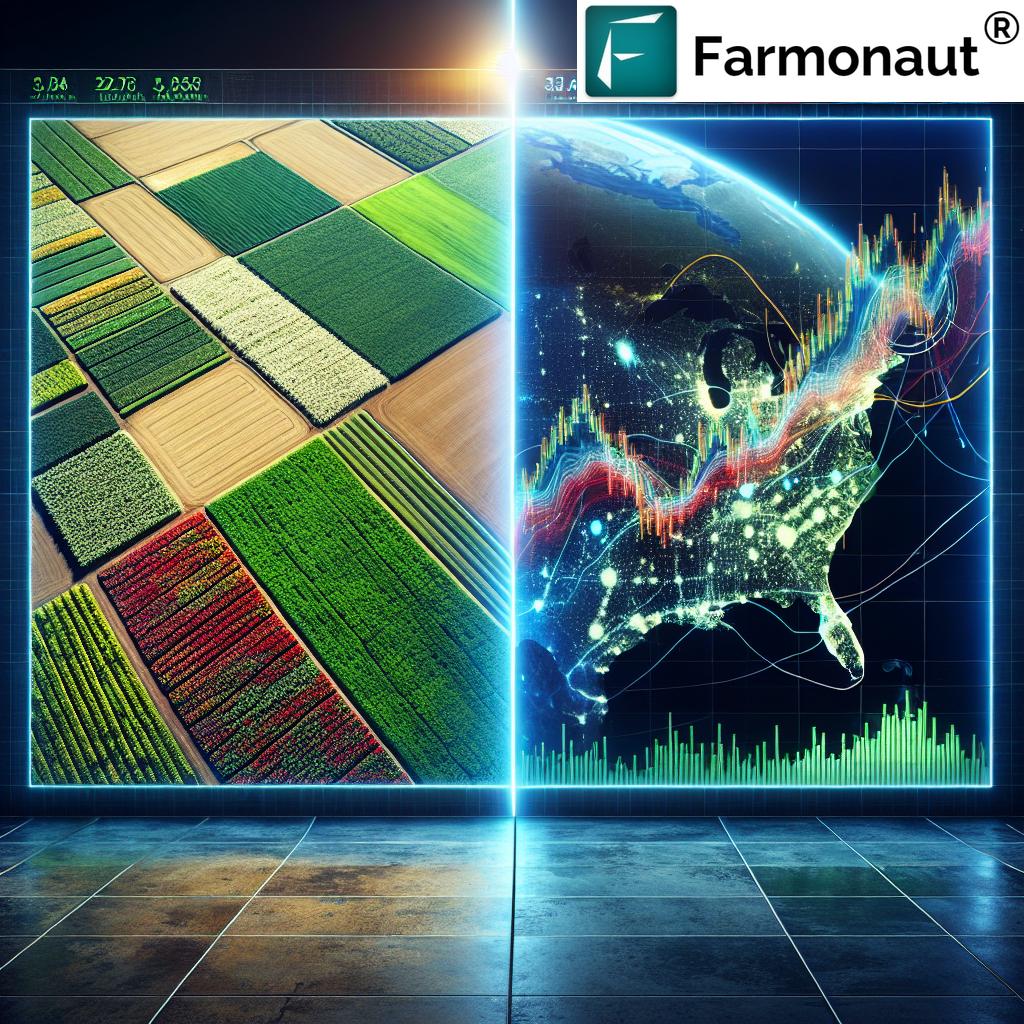
Precision agriculture has emerged as a game-changing approach in modern farming, allowing farmers to make data-driven decisions for optimal crop management. At the heart of this revolution lies satellite imagery for agriculture, a technology that has transformed the way we monitor and manage our fields.
Farmonaut, a pioneer in agricultural technology, has developed a suite of tools that harness the power of satellite imagery to provide farmers with unprecedented insights into their crops and soil conditions. Our platform integrates advanced geospatial analysis techniques with user-friendly interfaces, making precision farming accessible to farmers of all scales.
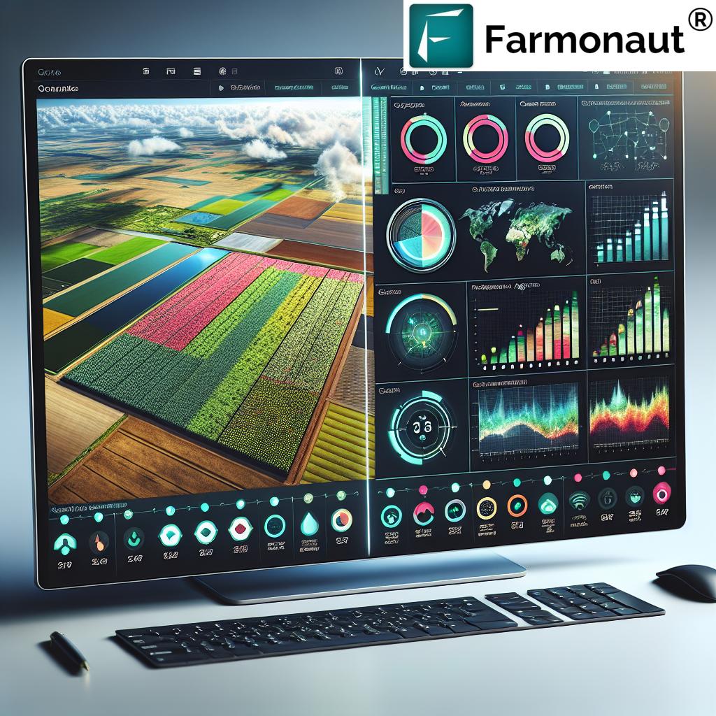
The Power of Satellite-Based Farm Monitoring
Satellite-based farm monitoring is at the core of Farmonaut’s offerings. By leveraging high-resolution imagery and advanced algorithms, we provide farmers with a bird’s-eye view of their fields, enabling them to:
- Track crop health in real-time
- Detect early signs of pest infestations or disease
- Optimize irrigation schedules based on soil moisture analysis
- Predict yields with greater accuracy
- Identify areas of field variability for targeted interventions
Our platform processes vast amounts of satellite data to generate actionable insights, empowering farmers to make informed decisions that can significantly impact their productivity and profitability.
Crop Monitoring Tools: The Backbone of Precision Farming
Farmonaut’s crop monitoring tools are designed to provide comprehensive, real-time information about your fields. Our suite includes:
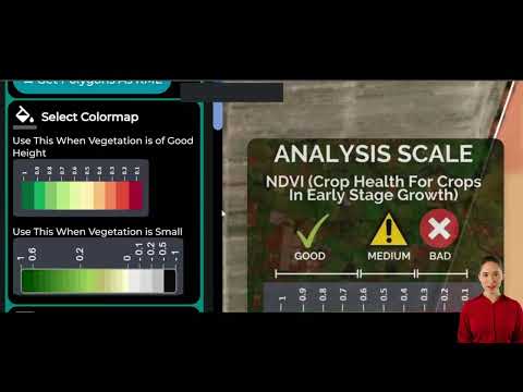
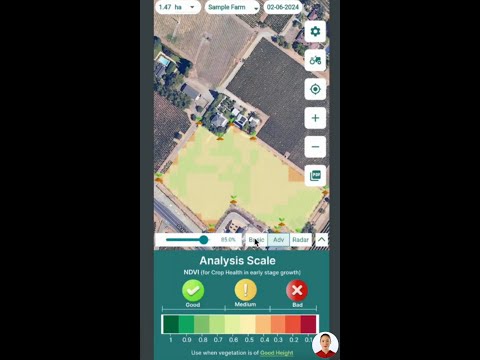
- Vegetation Health Index (NDVI): Measures crop vigor and density
- Soil Moisture Detection: Analyzes water content in the soil
- Crop Classification: Identifies different crop types across large areas
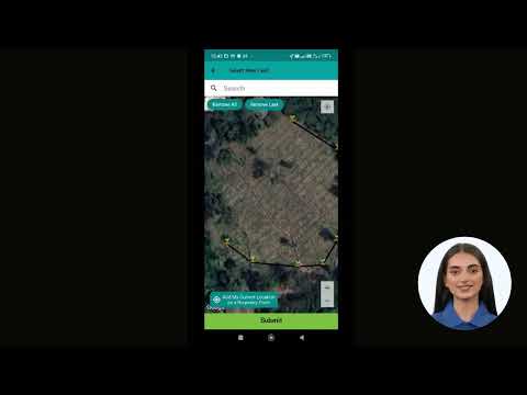
- Field Boundaries Detection: Automatically delineates field borders
These tools work in tandem to give you a holistic view of your farm’s performance, allowing for timely interventions and optimized resource allocation.
Leveraging Agricultural Data Analytics for Smarter Farming
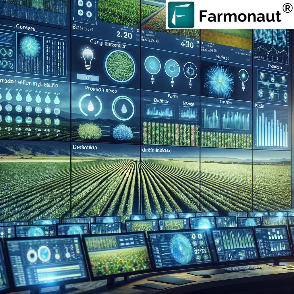
In the era of big data, agricultural data analytics has become a crucial component of successful farming operations. Farmonaut’s platform harnesses the power of advanced analytics to transform raw data into valuable insights. Our system processes information from various sources, including:
- Satellite imagery
- Weather data
- Historical crop performance
- Soil samples
By analyzing these diverse data sets, we provide farmers with a comprehensive understanding of their farm’s ecosystem. This enables more accurate yield predictions, helps in identifying trends, and supports strategic decision-making for improved farm management.
Remote Sensing in Agriculture: A Game-Changer for Modern Farmers
Remote sensing has revolutionized the way we approach agriculture. At Farmonaut, we utilize advanced remote sensing technologies to provide farmers with unparalleled insights into their fields. Our remote sensing capabilities include:
- Multispectral Imaging: Captures data across various light spectrums to assess crop health and stress levels
- Thermal Imaging: Detects temperature variations in crops, indicating potential issues with water stress or disease
- SAR (Synthetic Aperture Radar): Penetrates cloud cover to provide consistent monitoring, regardless of weather conditions
These technologies allow us to offer continuous, reliable monitoring of your fields, ensuring that you never miss critical information about your crops’ status.
Integrating Farm Management Software for Comprehensive Control
Effective farm management requires more than just data collection; it demands tools that can help you act on that information. Farmonaut’s farm management software is designed to seamlessly integrate with our satellite monitoring capabilities, providing a comprehensive solution for modern farmers. Our software offers:
- Task scheduling and management
- Resource allocation tools
- Yield tracking and forecasting
- Financial management features
By combining these management tools with our satellite-based insights, we empower farmers to run their operations with maximum efficiency and productivity.

Geospatial Analysis for Farmers: Unlocking the Potential of Your Land
Geospatial analysis is a powerful tool that allows farmers to visualize and understand spatial patterns in their fields. Farmonaut’s platform incorporates advanced geospatial analysis techniques to help farmers:
- Identify areas of high and low productivity within fields
- Optimize planting patterns based on soil conditions and topography
- Plan efficient irrigation systems
- Analyze the impact of environmental factors on crop performance
Our user-friendly interface makes complex geospatial data accessible and actionable, even for those without a technical background in GIS.
Sustainable Agriculture Technology: Farming for the Future
At Farmonaut, we believe that sustainable agriculture is not just an option; it’s a necessity. Our platform is designed to support sustainable farming practices by:
- Optimizing resource use to reduce waste and environmental impact
- Providing insights for precision application of inputs, minimizing chemical runoff
- Supporting crop rotation and diversification strategies
- Monitoring soil health to maintain long-term fertility
By leveraging our sustainable agriculture technology, farmers can ensure their operations are not only profitable but also environmentally responsible.
Advanced Yield Prediction Methods: Forecasting for Success
Accurate yield prediction is crucial for effective farm management and financial planning. Farmonaut’s platform employs sophisticated yield prediction methods that take into account:
- Historical yield data
- Current crop health indicators
- Weather forecasts
- Soil conditions
Our AI-driven models analyze these factors to provide farmers with precise yield estimates, allowing for better resource allocation and marketing strategies.
Soil Moisture Detection: The Key to Efficient Irrigation
Water management is a critical aspect of successful farming, and soil moisture detection plays a vital role in optimizing irrigation practices. Farmonaut’s soil moisture detection capabilities offer:
- Real-time monitoring of soil moisture levels across your fields
- Customized irrigation recommendations based on crop type and growth stage
- Early detection of water stress to prevent crop damage
- Historical analysis of moisture patterns to inform long-term water management strategies
By leveraging our soil moisture detection technology, farmers can significantly reduce water waste while ensuring optimal crop hydration.
“Farmonaut’s guide covers over 10 advanced geospatial analysis tools for crop monitoring and yield prediction.”
Harnessing High-Resolution Imagery for Precision Agriculture
High-resolution satellite imagery is at the heart of Farmonaut’s precision agriculture solutions. Our platform utilizes imagery with resolution as fine as 10 meters per pixel, allowing for detailed analysis of:
- Crop row patterns
- Individual tree health in orchards
- Small-scale variations in field conditions
- Precise boundary mapping
This level of detail enables farmers to make highly targeted decisions, optimizing inputs and interventions at a micro-scale.
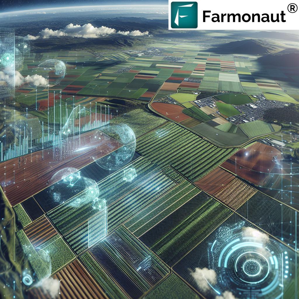
3D Modeling in Agriculture: Elevating Farm Management
3D modeling is an innovative technology that Farmonaut incorporates to provide farmers with a new perspective on their land. Our 3D modeling capabilities offer:
- Topographic analysis for optimal field layout and drainage planning
- Volumetric calculations for crop biomass estimation
- Virtual field tours for remote management and decision-making
- Enhanced visualization of field variability
By integrating 3D modeling into our platform, we enable farmers to gain a deeper understanding of their land’s topography and its impact on crop performance.
Time Series Analysis: Understanding Crop Trends
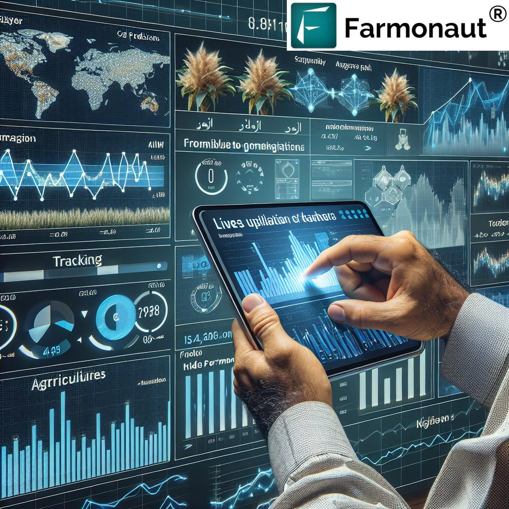
Time series analysis is a powerful tool for understanding long-term trends and patterns in crop performance. Farmonaut’s platform includes advanced time series analysis capabilities that allow farmers to:
- Track changes in crop health over multiple growing seasons
- Identify recurring patterns in pest infestations or disease outbreaks
- Analyze the impact of weather patterns on crop yields
- Assess the effectiveness of different management strategies over time
This historical perspective is invaluable for making informed decisions about crop rotation, variety selection, and long-term farm planning.
Integrating Weather Data for Comprehensive Farm Intelligence
Weather plays a crucial role in agricultural success, and Farmonaut’s platform integrates detailed weather data to provide a comprehensive view of your farm’s environment. Our weather integration features include:
- Real-time weather monitoring
- Short-term and seasonal forecasts
- Historical weather data analysis
- Severe weather alerts
By combining weather data with our satellite imagery and crop monitoring tools, we offer farmers a holistic understanding of the factors affecting their crops.
Customizable Alerts and Notifications: Stay Informed, Always
To ensure that farmers never miss critical information about their fields, Farmonaut offers a robust system of customizable alerts and notifications. Users can set up alerts for:
- Sudden changes in crop health
- Approaching weather events
- Optimal harvest windows
- Irrigation needs based on soil moisture levels
These timely notifications empower farmers to respond quickly to changing conditions, minimizing risks and maximizing opportunities.
Collaborative Tools for Team Management
Modern farming often involves managing teams across large areas. Farmonaut’s platform includes collaborative tools designed to streamline team communication and coordination:
- Task assignment and tracking
- Shared field notes and observations
- Real-time updates on field conditions for all team members
- Access control for different user roles
These features ensure that everyone involved in farm operations is on the same page, leading to more efficient and effective management.

API Integration: Extending the Power of Farmonaut
For users looking to integrate Farmonaut’s capabilities into their existing systems or develop custom applications, we offer robust API access. Our API allows developers to:
- Access satellite imagery and processed data
- Retrieve weather information and forecasts
- Integrate crop monitoring tools into third-party applications
- Customize data delivery for specific needs
This flexibility ensures that Farmonaut can be tailored to fit into any agricultural technology stack.
For more information on our API capabilities, visit our API page and check out our API Developer Docs.
Mobile Applications: Farm Management on the Go
Recognizing the need for flexibility in modern farming, Farmonaut offers mobile applications for both Android and iOS devices. These apps provide:
- On-the-go access to field monitoring data
- Mobile-friendly interfaces for easy field navigation
- Offline capabilities for use in areas with limited connectivity
- GPS integration for precise in-field observations
Our mobile apps ensure that farmers have the information they need at their fingertips, whether they’re in the office or out in the fields.

Comparison of Satellite Imagery Applications in Precision Agriculture
| Application | Description | Benefits | Farmonaut Features |
|---|---|---|---|
| Crop Health Monitoring | Uses vegetation indices to assess crop vigor and stress | Early detection of crop issues, optimized interventions | Real-time NDVI tracking, customizable health alerts |
| Soil Moisture Analysis | Measures water content in soil using spectral data | Improved irrigation efficiency, water conservation | High-resolution soil moisture maps, irrigation recommendations |
| Yield Prediction | Estimates crop yields based on historical and current data | Better resource planning, informed marketing decisions | AI-driven yield forecasting, multi-factor analysis |
| Field Variability Mapping | Identifies areas of different productivity within fields | Targeted management, optimized input application | High-resolution variability maps, zone management tools |
Frequently Asked Questions
Q: How often is satellite imagery updated on Farmonaut’s platform?
A: Farmonaut typically provides updates every 3-5 days, depending on satellite coverage and weather conditions.
Q: Can Farmonaut’s technology be used for small-scale farms?
A: Absolutely! Our platform is designed to be scalable and can provide valuable insights for farms of all sizes.
Q: Is internet connectivity required to use Farmonaut’s mobile apps in the field?
A: While an internet connection provides the most up-to-date information, our mobile apps have offline capabilities for basic functionalities.
Q: How accurate are Farmonaut’s yield predictions?
A: Our yield predictions have shown an accuracy rate of up to 90% in many cases, though this can vary depending on factors such as crop type and local conditions.
Q: Can Farmonaut’s platform integrate with other farm management software?
A: Yes, our API allows for integration with many third-party farm management systems. Contact our support team for specific integration inquiries.
Conclusion: Embracing the Future of Agriculture with Farmonaut
As we’ve explored throughout this comprehensive guide, the integration of satellite imagery and advanced farm management techniques is revolutionizing the agricultural industry. Farmonaut stands at the forefront of this revolution, offering a suite of powerful tools that empower farmers to make data-driven decisions, optimize their operations, and increase productivity while promoting sustainability.
From crop monitoring and yield prediction to soil moisture analysis and 3D modeling, our platform provides a holistic approach to precision agriculture. By leveraging the power of satellite technology, artificial intelligence, and user-friendly interfaces, we’re making advanced agricultural practices accessible to farmers of all scales.
As you embark on your journey to master precision agriculture, remember that Farmonaut is more than just a technology provider – we’re your partner in cultivating success. Our team is dedicated to supporting you every step of the way, from initial setup to ongoing optimization of your farming practices.
We invite you to explore the possibilities that Farmonaut can bring to your agricultural operations. Whether you’re looking to improve crop yields, reduce resource waste, or gain deeper insights into your fields, our platform is designed to meet your needs and exceed your expectations.
Ready to take the next step in revolutionizing your farming practices? Sign up for Farmonaut today and experience the future of agriculture firsthand.
Join the precision agriculture revolution with Farmonaut – where innovation meets cultivation, and data drives success. Together, let’s cultivate a smarter, more sustainable future for agriculture.


