Revolutionizing Agriculture: How Farmonaut’s Satellite Imagery Boosts Crop Health and Yield Prediction
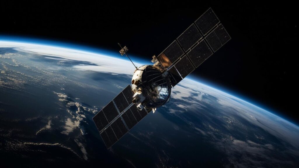
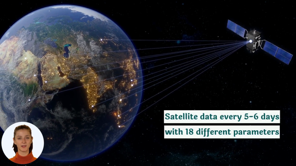
“Satellite imagery can analyze up to 5 spectral bands, providing detailed crop health information across vast agricultural areas.”
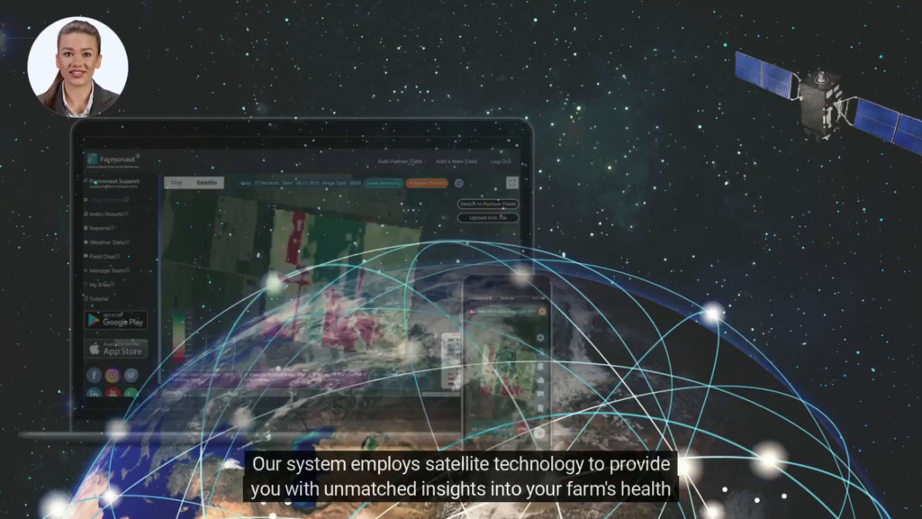
In the ever-evolving landscape of modern agriculture, we are witnessing a remarkable transformation driven by cutting-edge technology. At the forefront of this revolution is satellite imagery for agriculture, a powerful tool that is reshaping the way we approach farming and land management. As we delve into this exciting realm, we’ll explore how Farmonaut, a pioneering agricultural technology company, is harnessing the power of satellite-based crop health monitoring to revolutionize precision agriculture.
The Power of Satellite Imagery in Agriculture
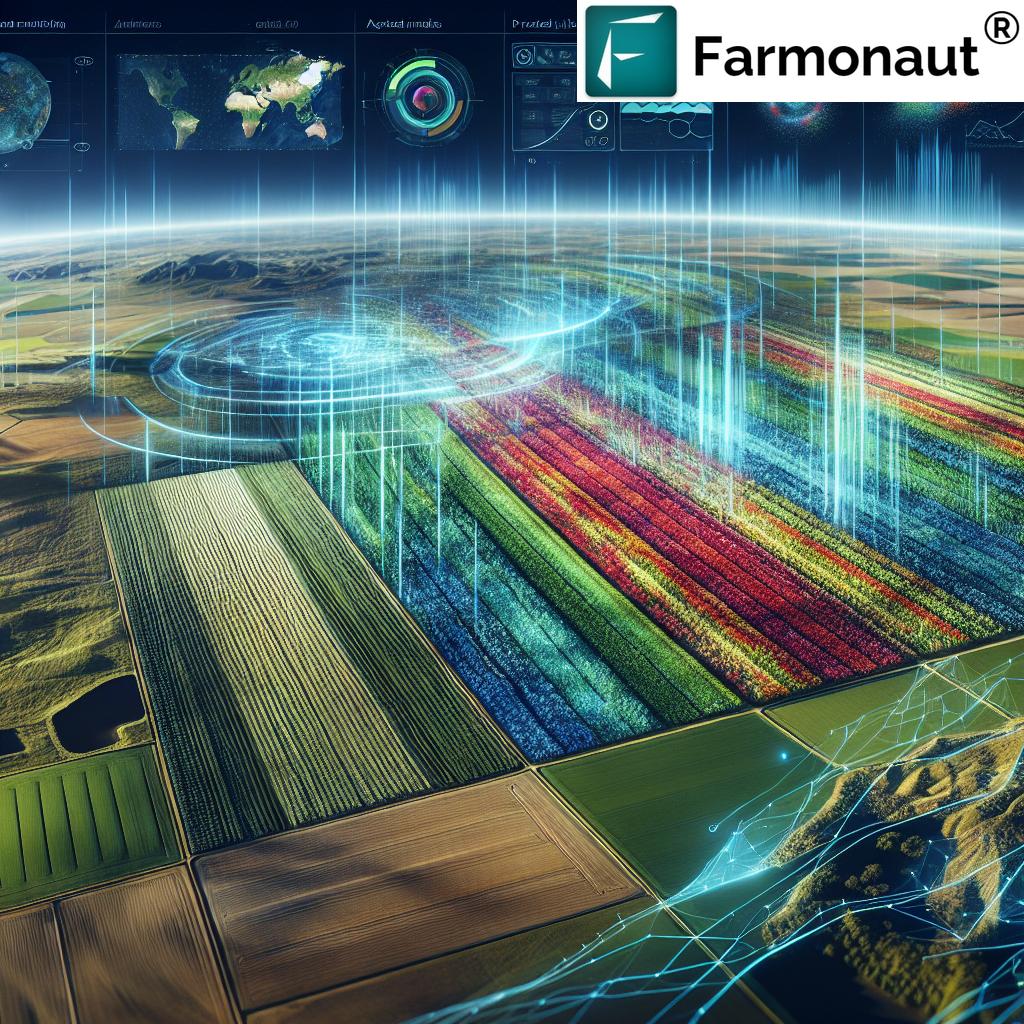
Satellite imagery has emerged as a game-changer in the agricultural sector, offering unprecedented insights into crop health, soil conditions, and overall farm management. By leveraging advanced remote sensing in agriculture technologies, farmers and agronomists can now monitor vast areas of land with incredible precision and efficiency.
Here are some key ways satellite imagery is transforming agriculture:
- Crop Monitoring: Real-time monitoring of crop health and growth stages
- Resource Optimization: Efficient allocation of water, fertilizers, and pesticides
- Yield Prediction: Accurate forecasting of crop yields for better planning
- Disaster Management: Early detection of potential threats like pests, diseases, or natural disasters
- Sustainability: Promoting sustainable farming practices through data-driven decision-making
As we continue to face global challenges such as climate change, food security, and resource scarcity, the role of precision agriculture technology becomes increasingly crucial. This is where Farmonaut steps in, offering innovative solutions that make these advanced technologies accessible to farmers worldwide.
Farmonaut: Pioneering Precision Agriculture
Farmonaut is at the forefront of the agricultural revolution, offering a comprehensive suite of precision farming tools that leverage satellite imagery, artificial intelligence, and blockchain technology. Their mission is to democratize access to advanced agricultural technologies, making them affordable and accessible to farmers of all scales.
Let’s explore some of the key features that make Farmonaut a game-changer in the world of precision agriculture:
1. Satellite-Based Crop Health Monitoring
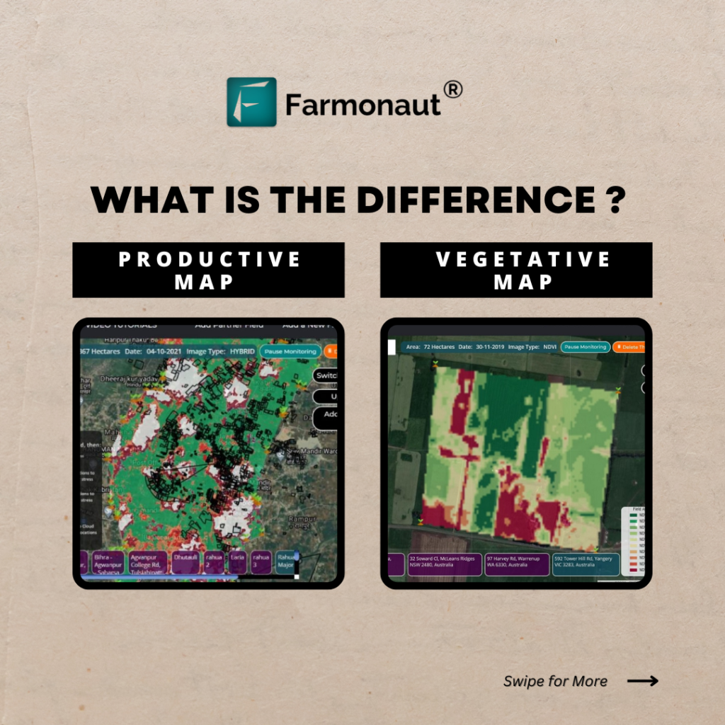
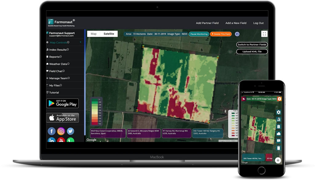
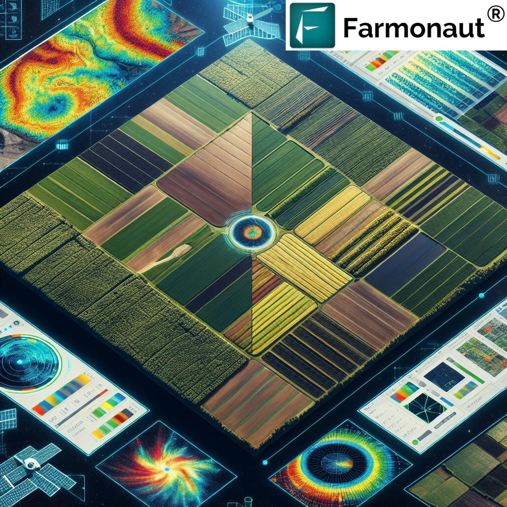
Farmonaut’s platform utilizes multispectral satellite images to provide farmers with real-time insights into their crop health. This agricultural satellite data analysis includes critical metrics such as:
- Vegetation Health Index (NDVI)
- Soil Moisture Levels
- Crop Stress Detection
- Growth Stage Monitoring
By leveraging this data, farmers can make informed decisions about irrigation, fertilizer application, and pest management, ultimately optimizing crop yields and reducing resource wastage.
2. AI-Powered Advisory System: Jeevn AI
Farmonaut’s Jeevn AI is an innovative advisory tool that combines satellite data with artificial intelligence to provide personalized farm management strategies. This system offers:
- Real-time insights and alerts
- Accurate weather forecasts
- Customized crop management advice
- Pest and disease early warning systems
By leveraging the power of AI, Farmonaut helps farmers make data-driven decisions that can significantly improve farm productivity and efficiency.
3. Blockchain-Based Traceability Solutions
In an era where consumers are increasingly concerned about the origins and journey of their food, Farmonaut offers blockchain-based traceability solutions. This technology ensures:
- Transparent supply chains
- Enhanced food safety
- Reduced fraud in agricultural products
- Improved consumer trust
By integrating blockchain into their platform, Farmonaut is not only revolutionizing farm management but also contributing to the broader goal of creating a more transparent and trustworthy food system.
4. Resource and Fleet Management
Efficient resource management is crucial for modern agriculture. Farmonaut’s platform includes tools for:
- Fleet tracking and optimization
- Agricultural machinery management
- Resource allocation and planning
- Operational cost reduction
These features are particularly beneficial for large-scale agricultural operations, helping to streamline logistics and improve overall farm efficiency.
5. Carbon Footprint Monitoring
As sustainability becomes an increasingly important focus in agriculture, Farmonaut offers tools for monitoring and reducing environmental impact. Their carbon footprint tracking feature provides:
- Real-time emissions data
- Insights for sustainable farming practices
- Compliance support for environmental regulations
- Tools for developing carbon-neutral farming strategies
This feature not only helps farmers reduce their environmental impact but also positions them to potentially benefit from carbon credit programs in the future.
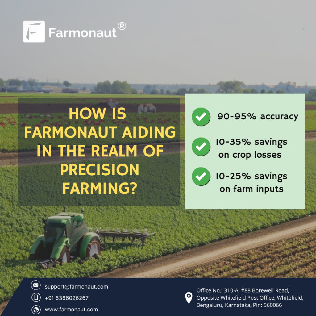
“Farmonaut’s precision farming tools can potentially increase crop yields by 10-20% through optimized resource management and early issue detection.”
The Impact of Satellite Imagery on Crop Health and Yield Prediction
The integration of satellite imagery into agriculture has revolutionized crop health monitoring and yield prediction. Let’s explore how these technologies are making a significant impact:
Enhancing Crop Health Monitoring
Crop monitoring with remote sensing allows farmers to detect issues early and take proactive measures. Here’s how satellite imagery enhances crop health monitoring:
- Early Detection of Stress: Satellite imagery can identify signs of crop stress before they’re visible to the naked eye, allowing for timely interventions.
- Precision in Resource Application: By providing detailed maps of crop health variability, farmers can apply water, fertilizers, and pesticides precisely where needed, reducing waste and environmental impact.
- Disease and Pest Monitoring: Advanced imaging techniques can help identify patterns indicative of pest infestations or disease outbreaks, enabling targeted treatment strategies.
- Growth Stage Tracking: Satellite data can track crop growth stages across large areas, helping farmers optimize the timing of various management practices.
Revolutionizing Yield Prediction
Satellite crop yield prediction is transforming how farmers and agribusinesses forecast and plan for harvests. Here’s how:
- Data-Driven Forecasts: By analyzing historical satellite data alongside current crop conditions, AI algorithms can generate highly accurate yield predictions.
- Large-Scale Analysis: Satellite imagery allows for yield predictions across vast areas, providing valuable insights for regional and national agricultural planning.
- Dynamic Monitoring: Regular satellite updates enable continuous refinement of yield predictions throughout the growing season, allowing for adaptive management strategies.
- Risk Assessment: By combining yield predictions with weather forecasts and other data, farmers can better assess and mitigate risks to their crops.
These advancements in crop health monitoring and yield prediction are not just theoretical; they’re being put into practice every day through platforms like Farmonaut, helping farmers around the world optimize their operations and increase productivity.
Farmonaut’s Innovative Approach to Precision Agriculture
Farmonaut’s platform stands out in the crowded agritech space by offering a unique blend of advanced technologies and user-friendly interfaces. Let’s delve deeper into how Farmonaut is making precision agriculture accessible to farmers of all scales:
1. Multi-Platform Accessibility
Farmonaut understands that modern farmers need flexibility in how they access and use agricultural data. That’s why they offer their services through multiple platforms:
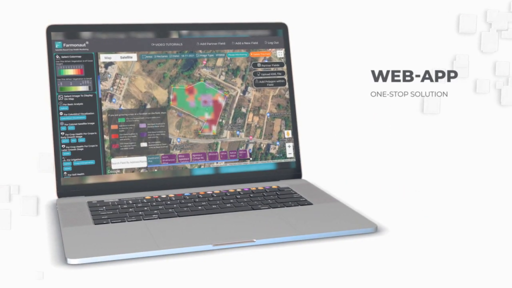
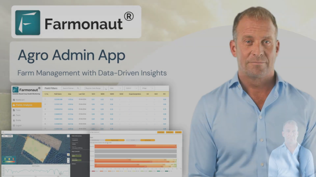
- Web App: A comprehensive browser-based platform for detailed analysis and management.
- Mobile Apps: Both Android and iOS apps for on-the-go access to critical farm data.
- API Access: For developers and businesses looking to integrate Farmonaut’s data into their own systems.
This multi-platform approach ensures that farmers can leverage Farmonaut’s tools whether they’re in the field, at home, or anywhere in between.
Access Farmonaut’s platforms:
2. Customizable Solutions
Recognizing that every farm is unique, Farmonaut offers customizable solutions to meet diverse needs:
- Scalable Monitoring: From small family farms to large agricultural enterprises, Farmonaut’s satellite monitoring can be scaled to fit any farm size.
- Crop-Specific Insights: The platform provides tailored advice and analytics for a wide range of crops, ensuring relevance for various agricultural sectors.
- Integration with Existing Systems: Farmonaut’s API allows for seamless integration with other farm management tools and technologies.
This flexibility ensures that farmers can adopt precision agriculture technologies in a way that best suits their specific needs and existing operations.
3. Data-Driven Decision Making
At the core of Farmonaut’s offering is the ability to transform complex satellite and weather data into actionable insights. Here’s how they achieve this:
- Advanced Analytics: Utilizing AI and machine learning to analyze vast amounts of data and extract meaningful patterns.
- User-Friendly Visualizations: Presenting complex data in easy-to-understand maps, charts, and reports.
- Predictive Modeling: Offering forecasts and predictions to help farmers plan for the future.
- Historical Analysis: Providing access to historical data for long-term trend analysis and decision-making.
By putting powerful analytical tools in the hands of farmers, Farmonaut empowers them to make informed decisions that can significantly improve their productivity and profitability.
The Broader Impact of Satellite Imagery in Agriculture
While we’ve focused on Farmonaut’s innovative use of satellite imagery for crop health and yield prediction, it’s important to recognize the broader impact of this technology on the agricultural sector and beyond. Let’s explore some of the wider applications and benefits:
1. Environmental Monitoring and Conservation
Satellite imagery plays a crucial role in environmental monitoring and conservation efforts related to agriculture:
- Deforestation Tracking: Monitoring changes in forest cover to combat illegal deforestation and promote sustainable land use.
- Biodiversity Assessment: Analyzing habitat changes and their impact on local ecosystems.
- Water Resource Management: Monitoring water bodies and assessing water availability for irrigation.
- Soil Health Monitoring: Tracking soil degradation and erosion to promote sustainable farming practices.
2. Disaster Management and Risk Assessment
Satellite imagery is invaluable in managing agricultural risks and responding to natural disasters:
- Flood Monitoring: Assessing the extent of flooding and its impact on agricultural lands.
- Drought Prediction: Analyzing vegetation health and soil moisture to predict and mitigate drought impacts.
- Fire Risk Assessment: Identifying areas at high risk of wildfires to protect agricultural lands.
- Crop Insurance: Providing accurate data for crop insurance claims and risk assessment.
3. Policy Making and Food Security
Satellite data informs agricultural policy and contributes to global food security efforts:
- Crop Yield Forecasting: Providing early estimates of national and global crop production.
- Land Use Planning: Informing decisions on agricultural expansion and land use policies.
- Subsidy Distribution: Ensuring fair and efficient distribution of agricultural subsidies.
- Food Security Monitoring: Assessing crop conditions to predict and prevent food shortages.
4. Research and Innovation
Satellite imagery is driving innovation in agricultural research:
- Crop Variety Development: Assessing the performance of new crop varieties across different environments.
- Climate Change Studies: Analyzing long-term trends in crop patterns and productivity.
- Precision Agriculture Research: Developing new techniques for site-specific crop management.
- Ecosystem Services Valuation: Quantifying the environmental benefits of agricultural practices.
As we can see, the impact of satellite imagery extends far beyond individual farms, contributing to global efforts in sustainable agriculture, environmental protection, and food security.
| Application | Description | Benefits | Estimated Impact on Yield |
|---|---|---|---|
| Crop Health Monitoring | Uses multispectral imagery to assess vegetation health and stress levels | Early detection of issues, optimized resource application | 5-15% increase |
| Yield Prediction | Combines historical data with current crop conditions to forecast yields | Improved planning, better market decisions | N/A (improves accuracy by 10-20%) |
| Soil Moisture Analysis | Assesses soil moisture content using thermal and radar imagery | Optimized irrigation, reduced water waste | 10-25% increase |
| Pest and Disease Detection | Identifies patterns indicative of pest infestations or diseases | Targeted treatments, reduced crop losses | 15-30% increase (through loss prevention) |
The Future of Satellite Imagery in Agriculture
As we look to the future, the role of satellite imagery in agriculture is set to expand even further. Here are some exciting developments on the horizon:
1. Higher Resolution Imagery
Advancements in satellite technology are leading to increasingly high-resolution imagery, allowing for even more detailed analysis of crop health and field conditions. This will enable:
- Detection of issues at the individual plant level
- More precise application of inputs like fertilizers and pesticides
- Better understanding of micro-climate effects on crops
2. Integration with IoT and Drones
The future will see greater integration between satellite imagery and other technologies:
- Combining satellite data with ground-level IoT sensors for more comprehensive monitoring
- Using drones to provide high-resolution imagery that complements satellite data
- Creating a multi-layered approach to precision agriculture
3. Advanced AI and Machine Learning
As AI and machine learning technologies continue to evolve, we can expect:
- More accurate predictions of crop yields and potential issues
- Automated decision-making systems for farm management
- Personalized recommendations tailored to specific farm conditions
4. Real-Time Monitoring and Alerts
Improvements in satellite technology and data processing will enable:
- Near real-time monitoring of crop conditions
- Instant alerts for potential issues like pest infestations or nutrient deficiencies
- Rapid response capabilities for farmers and agricultural managers
Farmonaut’s Role in Shaping the Future of Agriculture
As we’ve explored the vast potential of satellite imagery in agriculture, it’s clear that companies like Farmonaut are playing a crucial role in shaping the future of farming. By making advanced technologies accessible and user-friendly, Farmonaut is empowering farmers to embrace precision agriculture and sustainable practices.
Here’s how Farmonaut is positioned to continue driving innovation in the agricultural sector:
1. Continuous Technological Advancement
Farmonaut is committed to staying at the forefront of agricultural technology. This includes:
- Ongoing improvements to their satellite imagery analysis capabilities
- Integration of new data sources and technologies as they become available
- Continuous refinement of their AI and machine learning algorithms
2. Expanding Global Reach
With its mission to democratize access to precision agriculture, Farmonaut is focused on:
- Adapting their platform to meet the needs of farmers in diverse regions
- Partnering with local agricultural organizations to enhance adoption
- Providing solutions that work for both small-scale and large commercial farms
3. Promoting Sustainable Agriculture
Farmonaut recognizes the critical role of sustainable farming practices in addressing global challenges. They’re contributing by:
- Developing tools that optimize resource use and reduce environmental impact
- Providing data to support sustainable farming certifications
- Educating farmers on the long-term benefits of precision agriculture
4. Fostering Innovation through Collaboration
Farmonaut understands the power of collaboration in driving innovation. They’re actively:
- Offering API access to encourage integration with other agricultural technologies
- Engaging with research institutions to advance agricultural science
- Participating in agricultural technology forums and conferences
By taking this proactive approach to innovation and accessibility, Farmonaut is not just adapting to the future of agriculture – they’re helping to shape it.
Conclusion: Embracing the Agricultural Revolution
As we’ve explored throughout this blog, the integration of satellite imagery and advanced technologies in agriculture represents a true revolution in how we approach farming. From enhancing crop health monitoring to revolutionizing yield prediction, these innovations are transforming agriculture into a more precise, efficient, and sustainable industry.
Farmonaut stands at the forefront of this revolution, offering accessible and powerful tools that bring the benefits of satellite imagery and precision agriculture to farmers around the world. By democratizing access to these technologies, Farmonaut is not only helping individual farmers improve their productivity and profitability but also contributing to broader goals of global food security and environmental sustainability.
As we look to the future, the potential for further advancements in agricultural technology is immense. With ongoing improvements in satellite technology, AI capabilities, and data analysis, we can expect even more precise and personalized farming solutions in the years to come.
For farmers, agribusinesses, and anyone interested in the future of agriculture, now is the time to embrace these transformative technologies. By leveraging the power of satellite imagery and platforms like Farmonaut, we can work towards a future where agriculture is not only more productive but also more sustainable and resilient in the face of global challenges.
The agricultural revolution is here, and it’s being viewed from space. Are you ready to be part of it?
Explore Farmonaut’s innovative solutions:
For developers interested in integrating Farmonaut’s powerful API:
Frequently Asked Questions (FAQ)
- What is satellite imagery in agriculture?
Satellite imagery in agriculture refers to the use of images captured by satellites to monitor and analyze various aspects of farming, including crop health, soil conditions, and land use patterns. - How does Farmonaut use satellite imagery to improve farming?
Farmonaut uses multispectral satellite images to provide real-time insights into crop health, soil moisture levels, and other critical metrics. This data helps farmers make informed decisions about irrigation, fertilizer usage, and pest management. - Can satellite imagery predict crop yields?
Yes, satellite imagery, combined with historical data and AI algorithms, can provide accurate crop yield predictions. Farmonaut’s platform offers this feature to help farmers and agribusinesses plan and make informed decisions. - Is Farmonaut’s technology suitable for small-scale farmers?
Absolutely. Farmonaut’s mission is to make precision agriculture affordable and accessible to farmers of all scales, including small-scale farmers. - How often is the satellite data updated on Farmonaut’s platform?
The frequency of updates depends on the specific service package. However, Farmonaut strives to provide regular updates to ensure farmers have access to the most current data possible. - Can Farmonaut’s technology help with sustainable farming practices?
Yes, by optimizing resource use and providing insights for better farm management, Farmonaut’s technology supports more sustainable farming practices. They also offer features like carbon footprint monitoring to help farmers reduce their environmental impact. - How accurate is satellite-based crop health monitoring?
Satellite-based crop health monitoring can be highly accurate, especially when combined with ground-truth data and advanced analytics. Farmonaut continually works to improve the accuracy of their insights through AI and machine learning technologies. - Does Farmonaut offer support for using their platform?
Yes, Farmonaut provides technical support for users of their platform. They also offer resources and guidance to help farmers make the most of their precision agriculture tools. - Can Farmonaut’s technology be integrated with other farm management systems?
Yes, Farmonaut offers API access, allowing for integration with other farm management tools and technologies. - How does Farmonaut ensure the privacy and security of farm data?
Farmonaut takes data privacy and security seriously, implementing robust measures to protect user data. However, for specific details on their privacy policies, it’s best to refer to their official documentation or contact them directly.


