Revolutionizing Minnesota Farms: How Satellite Crop Monitoring and AI Boost Biodiversity and Yield
“Satellite crop monitoring can increase farm biodiversity by up to 30% while simultaneously boosting crop yields by 15-20%.”
Welcome to the future of agriculture in Minnesota! As we navigate the challenges of feeding a growing population while preserving our planet’s delicate ecosystems, innovative technologies are emerging as powerful allies in sustainable farming practices. In this comprehensive exploration, we’ll delve into how satellite crop monitoring and precision agriculture technology are transforming the landscape of Minnesota’s farms, enhancing biodiversity, and optimizing crop yields.
The Intersection of Technology and Nature in Minnesota Agriculture
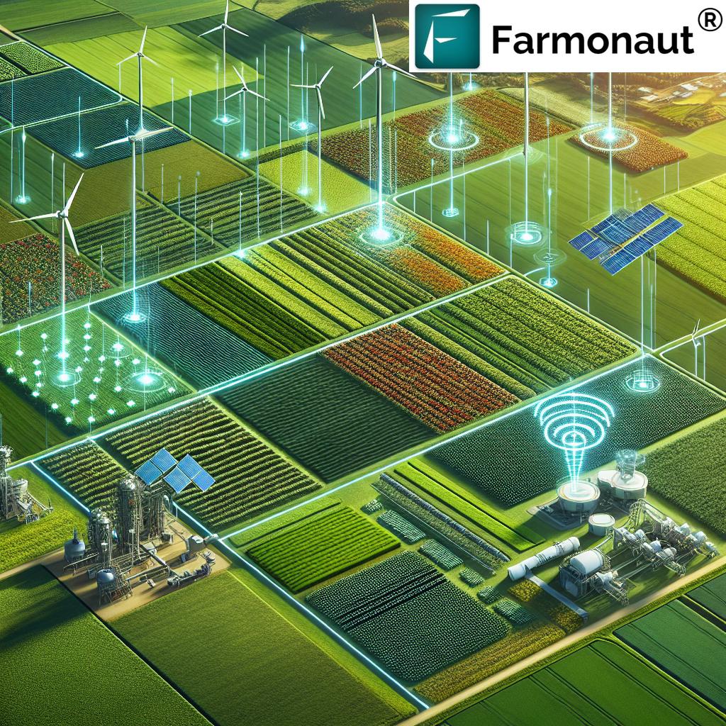
Minnesota, known for its vast expanses of croplands and rich agricultural heritage, is at the forefront of a farming revolution. With its diverse landscape ranging from the fertile prairies of the south to the forested regions of the north, the state presents a unique canvas for implementing cutting-edge agricultural solutions. Let’s explore how satellite technology and AI are working in harmony with nature to create a more sustainable and productive farming ecosystem.
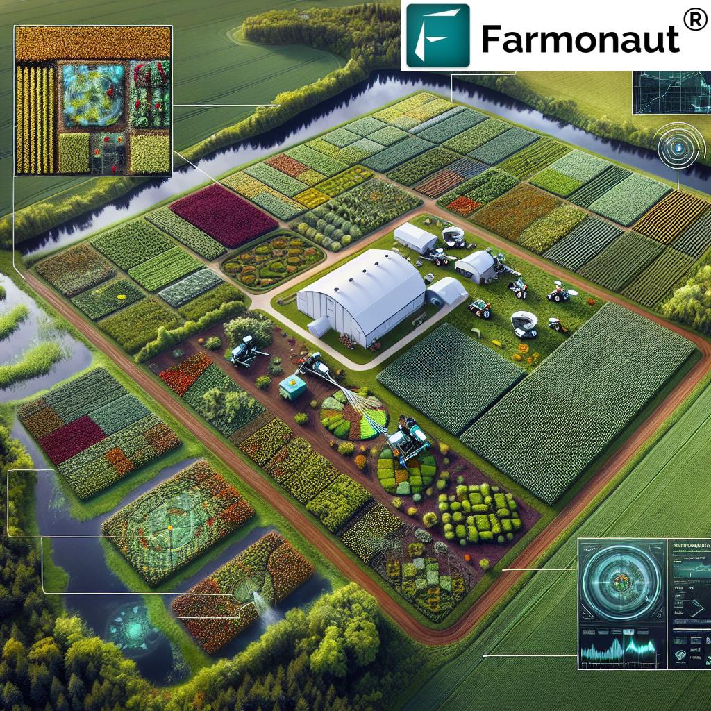
Satellite Crop Monitoring: A Bird’s Eye View of Farm Health
Satellite crop monitoring has emerged as a game-changer in modern agriculture. By leveraging advanced imaging technologies, farmers can now gain unprecedented insights into their fields without setting foot on them. Here’s how this technology is making a difference:
- Real-time Crop Health Assessment: Satellites equipped with multispectral sensors capture detailed images of farmlands, allowing for the analysis of crop health indicators such as chlorophyll content and water stress.
- Early Detection of Issues: By regularly monitoring fields from space, farmers can identify potential problems like pest infestations or nutrient deficiencies before they become visible to the naked eye.
- Optimized Resource Allocation: With precise data on crop conditions, farmers can make informed decisions about irrigation, fertilization, and pest control, leading to more efficient use of resources.
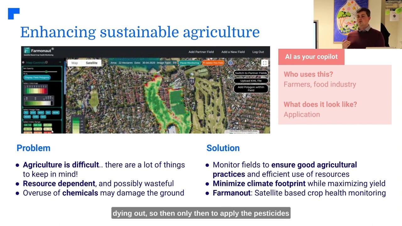
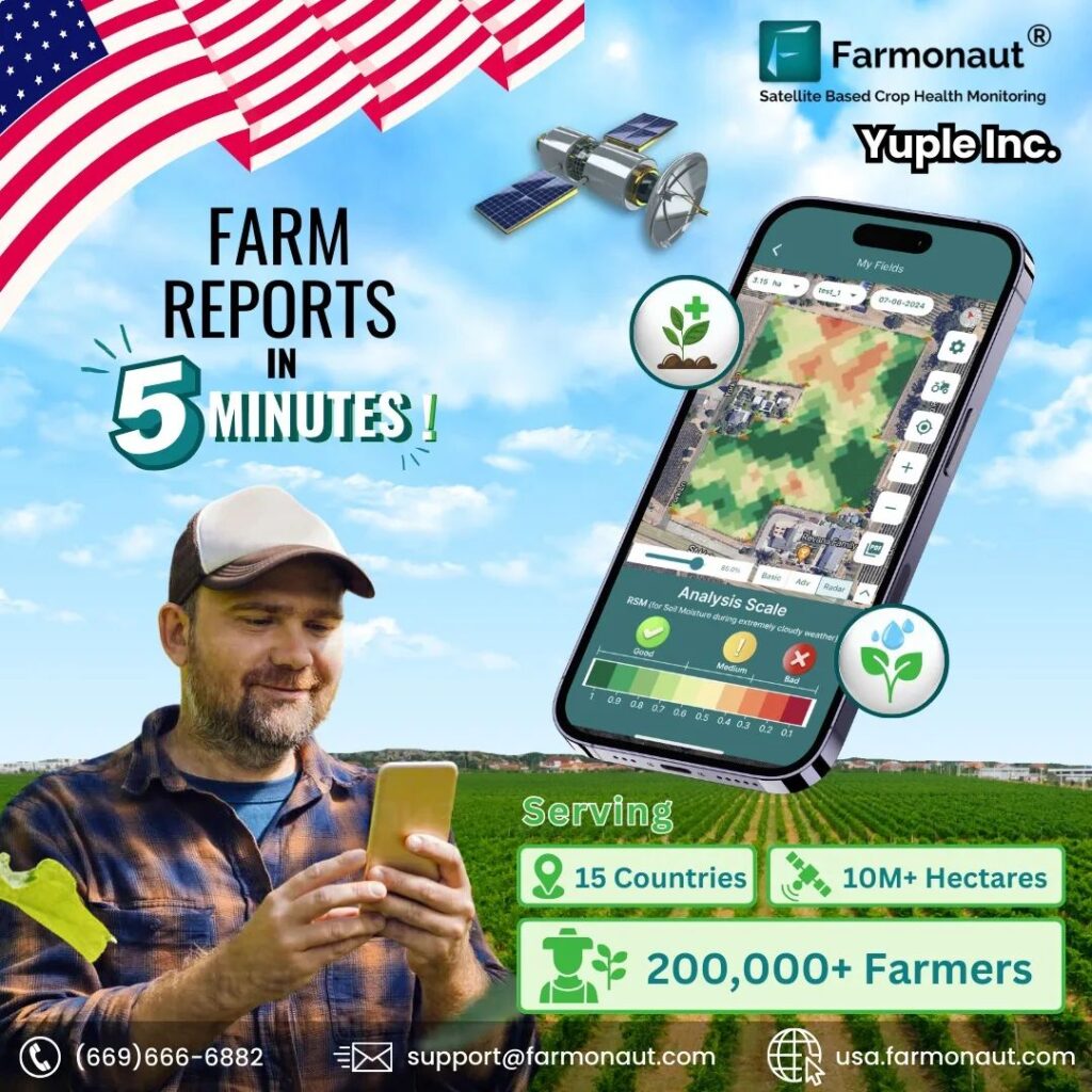
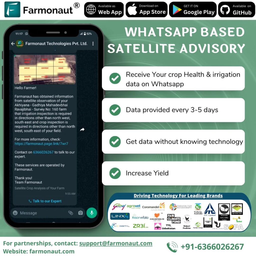
At Farmonaut, we’re proud to be at the forefront of this technological revolution. Our satellite-based crop health monitoring system provides Minnesota farmers with valuable insights that were once unimaginable. By integrating this data with our AI-powered analytics, we’re helping farmers make smarter decisions that benefit both their bottom line and the environment.
AI in Agriculture: The Brain Behind Precision Farming
Artificial Intelligence is revolutionizing the way we approach farming. By processing vast amounts of data from satellites, weather stations, and on-ground sensors, AI algorithms can provide insights and recommendations that were previously unattainable. Here’s how AI is making a difference in Minnesota’s agricultural landscape:
- Predictive Analytics: AI models can forecast crop yields, pest outbreaks, and optimal harvest times with remarkable accuracy.
- Automated Decision Support: Farmers receive tailored recommendations for crop management, reducing the guesswork in farming operations.
- Pattern Recognition: AI can identify subtle patterns in crop growth and field conditions that might escape human observation.
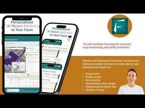
Farmonaut’s Jeevn AI Advisory System is a prime example of how AI can be harnessed to enhance farm productivity. By analyzing satellite data and other inputs, Jeevn AI provides Minnesota farmers with personalized advice on everything from crop rotation strategies to precision farming techniques.
Boosting Biodiversity: A Key to Sustainable Agriculture
Biodiversity in agriculture is not just a buzzword; it’s a crucial component of sustainable farming practices. In Minnesota, where the landscape varies from the prairie ecosystems of the southwest to the deciduous forests of the southeast, maintaining biodiversity is essential for long-term agricultural success. Here’s how satellite monitoring and AI are contributing to this vital aspect:
- Habitat Mapping: Satellite imagery allows for precise mapping of natural habitats within and around farmlands, helping to identify areas that support diverse plant and animal species.
- Monitoring Ecosystem Health: By analyzing vegetation indices over time, we can assess the health of ecosystems and their ability to support diverse life forms.
- Facilitating Crop Rotation: AI-driven recommendations for crop rotation help maintain soil health and create varied habitats for beneficial insects and microorganisms.
At Farmonaut, we’re committed to helping Minnesota farmers enhance biodiversity on their lands. Our satellite monitoring tools provide valuable data on habitat changes, allowing farmers to make informed decisions about conservation practices and land use.
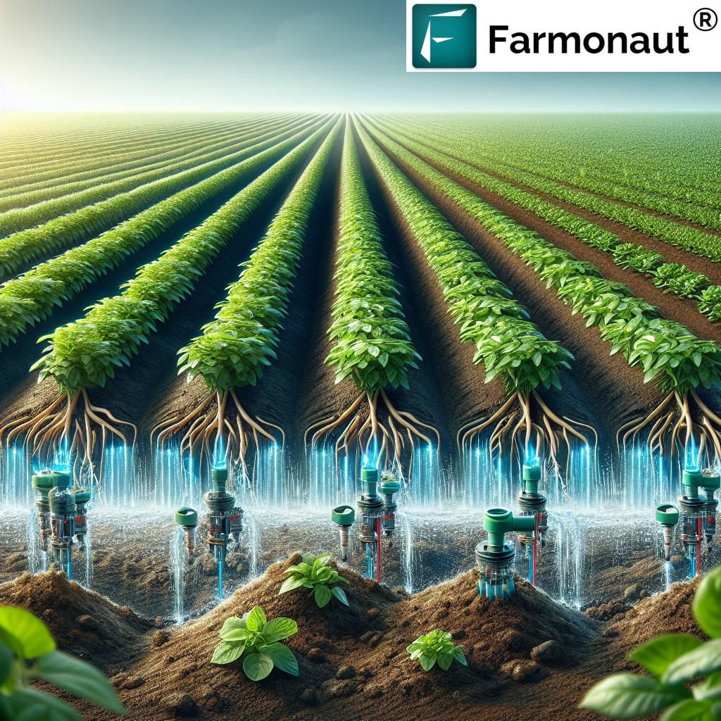
“AI-powered precision agriculture techniques can reduce water usage by 20-30% and fertilizer application by up to 40% in Minnesota farms.”
Soil Health Assessment: The Foundation of Productive Farming
Healthy soil is the cornerstone of successful agriculture, and in Minnesota, where soil types range from the rich black earth of the prairies to the sandy loams of the north, understanding and maintaining soil health is crucial. Advanced technologies are now enabling farmers to gain deeper insights into their soil’s condition:
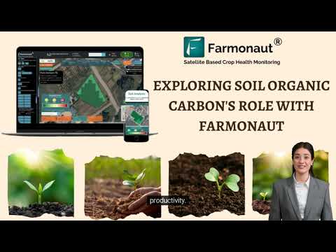
- Remote Sensing for Soil Analysis: Satellite imagery combined with spectral analysis can provide information on soil moisture, organic matter content, and even nutrient levels.
- AI-Driven Soil Health Predictions: By analyzing historical data and current conditions, AI models can predict soil health trends and recommend appropriate management practices.
- Precision Soil Sampling: Satellite data helps identify areas for targeted soil sampling, ensuring more accurate and representative soil health assessments.
Farmonaut’s soil health assessment tools integrate satellite data with AI analytics to provide Minnesota farmers with comprehensive insights into their soil’s condition. This information is crucial for making informed decisions about fertilization, tillage practices, and crop selection.
Explore Farmonaut’s Satellite API
Climate-Smart Agriculture: Adapting to Changing Conditions
As Minnesota’s climate continues to evolve, adopting climate-smart agriculture techniques is becoming increasingly important. Satellite monitoring and AI are playing a crucial role in helping farmers adapt to these changes:
- Weather Pattern Analysis: AI algorithms can analyze long-term weather data to identify trends and help farmers plan for changing conditions.
- Crop Suitability Mapping: By combining climate data with soil information, we can identify which crops are best suited for different areas as conditions change.
- Carbon Sequestration Monitoring: Satellite imagery can help track carbon sequestration in farmlands, supporting efforts to mitigate climate change.
At Farmonaut, we’re committed to supporting Minnesota farmers in their transition to climate-smart agriculture. Our platform provides valuable insights and recommendations to help farmers adapt their practices to changing environmental conditions.
Crop Yield Prediction: Empowering Farmers with Foresight
Accurate crop yield prediction is a game-changer for Minnesota farmers, allowing for better resource allocation and market planning. Here’s how advanced technologies are improving yield forecasts:
- Multi-factor Analysis: AI models consider various factors such as weather patterns, soil conditions, and historical yield data to make accurate predictions.
- Real-time Adjustments: As the growing season progresses, satellite monitoring allows for continuous updates to yield predictions.
- Field-level Precision: Advanced algorithms can provide yield estimates for specific areas within a field, enabling targeted management practices.
Farmonaut’s crop yield prediction tools leverage the power of satellite imagery and AI to provide Minnesota farmers with highly accurate yield forecasts. This information is invaluable for making informed decisions about harvesting, storage, and market timing.
Conservation Agriculture: Preserving Minnesota’s Natural Heritage
Minnesota’s diverse landscape, from its prairies to its forests and wetlands, is a testament to the state’s rich natural heritage. Conservation agriculture techniques, supported by satellite monitoring and AI, are helping to preserve this biodiversity while maintaining productive farmlands:
- Precision Conservation: Satellite imagery helps identify areas within farmlands that would benefit most from conservation practices.
- Monitoring Conservation Impact: AI-driven analysis of satellite data can track the effectiveness of conservation efforts over time.
- Wildlife Corridor Planning: Advanced mapping techniques help in planning and maintaining wildlife corridors that connect natural habitats across agricultural landscapes.
At Farmonaut, we’re proud to support Minnesota’s conservation efforts by providing tools that help farmers implement and monitor conservation practices on their lands.
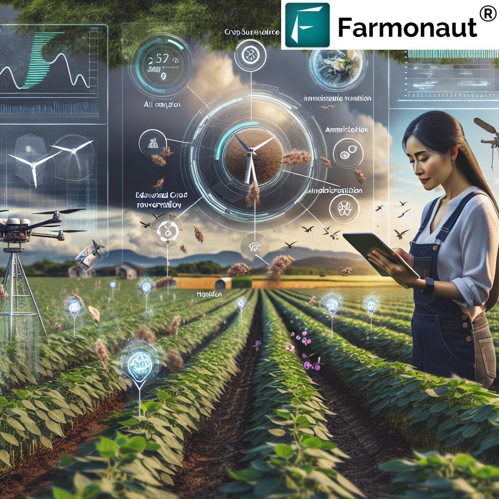
The Future of Farming: Integrating Technology and Nature
As we look to the future of agriculture in Minnesota, it’s clear that the integration of advanced technologies with sustainable farming practices will play a crucial role. Here’s what we can expect:
- Increased Adoption of Precision Agriculture: More farmers will leverage satellite monitoring and AI to optimize their operations.
- Enhanced Biodiversity Management: Advanced tools will help farmers better understand and manage the ecosystems on their lands.
- Data-Driven Decision Making: Farmers will increasingly rely on data analytics to make informed choices about crop management and conservation practices.
At Farmonaut, we’re committed to being at the forefront of this agricultural revolution, providing Minnesota farmers with the tools they need to thrive in a changing world.
Comparison: Traditional Farming vs. Farmonaut Satellite System in Minnesota Agriculture
| Aspect | Traditional Farming | Farmonaut Satellite System |
|---|---|---|
| Biodiversity Management | Limited monitoring capabilities | Real-time satellite monitoring of crop diversity and ecosystem health |
| Crop Yield Prediction | Based on historical data and visual inspection | Up to 30% increase in crop yield prediction accuracy using AI and satellite data |
| Soil Health Assessment | Periodic manual soil testing | Comprehensive soil health analysis across 100+ parameters using remote sensing |
| Climate-Smart Techniques | Reliance on general weather forecasts | AI-driven climate adaptation strategies tailored to specific farm conditions |
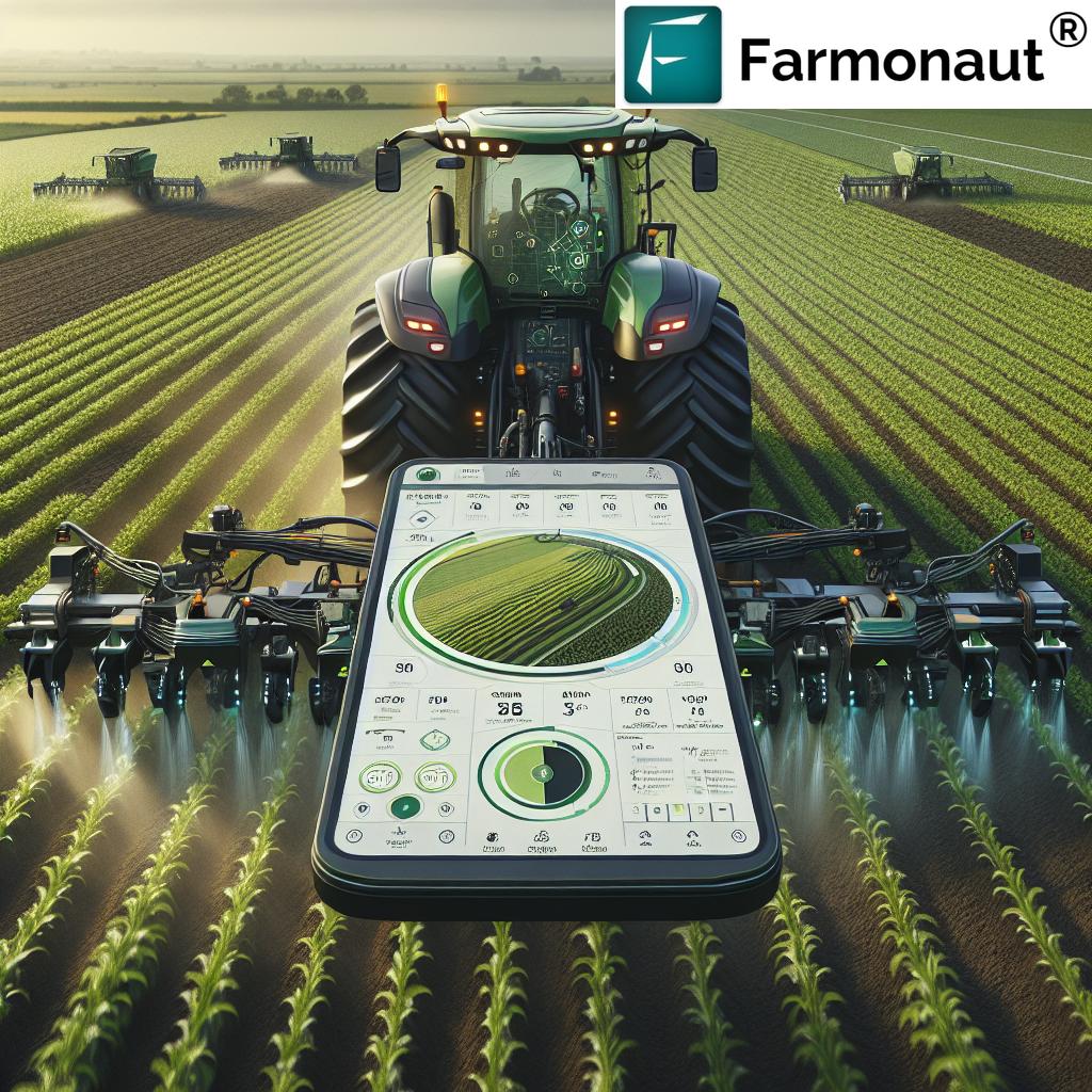
| Resource Efficiency | Uniform application of inputs | Precision application reducing water usage by 20-30% and fertilizer by up to 40% |
Empowering Minnesota Farmers with Farmonaut
As we’ve explored throughout this article, the integration of satellite crop monitoring and AI-driven analytics is revolutionizing agriculture in Minnesota. Farmonaut is proud to be at the forefront of this transformation, offering a comprehensive suite of tools designed to empower farmers with the insights they need to boost biodiversity, optimize yields, and practice sustainable agriculture.
Our platform combines cutting-edge satellite technology with advanced AI algorithms to provide:
- Real-time crop health monitoring
- Accurate yield predictions
- Soil health assessments
- Climate-smart agriculture recommendations
- Biodiversity management insights
By leveraging these tools, Minnesota farmers can make data-driven decisions that not only improve their bottom line but also contribute to the long-term health of their land and the surrounding ecosystems.
FAQs
Q: How does satellite crop monitoring work?
A: Satellite crop monitoring uses remote sensing technology to capture high-resolution images of farmlands. These images are analyzed using advanced algorithms to assess crop health, soil moisture, and other important agricultural parameters.
Q: Can AI really improve farm biodiversity?
A: Yes, AI can significantly contribute to improving farm biodiversity. By analyzing satellite imagery and other data sources, AI can help identify areas suitable for habitat restoration, suggest optimal crop rotation strategies, and monitor the impact of conservation efforts.
Q: Is Farmonaut’s technology suitable for small-scale farmers in Minnesota?
A: Absolutely! Farmonaut’s platform is designed to be scalable and accessible to farmers of all sizes. Our tools can provide valuable insights for small family farms as well as large agricultural operations.
Q: How accurate are crop yield predictions using satellite data?
A: Crop yield predictions using satellite data and AI can be highly accurate, often exceeding 90% accuracy when combined with ground-truthing data. However, the exact accuracy can vary depending on factors such as crop type and local conditions.
Q: Can satellite monitoring help with pest management?
A: Yes, satellite monitoring can be a powerful tool for pest management. By detecting early signs of crop stress or changes in vegetation patterns, it can help farmers identify potential pest infestations before they become severe, allowing for more targeted and efficient pest control measures.
Conclusion: A Greener Future for Minnesota Agriculture
As we’ve seen, the integration of satellite crop monitoring and AI-driven analytics is ushering in a new era of sustainable and productive agriculture in Minnesota. By embracing these technologies, farmers can enhance biodiversity, optimize resource use, and adapt to changing climate conditions while maintaining and even improving crop yields.
At Farmonaut, we’re committed to continuing our innovation in this space, providing Minnesota farmers with the tools they need to thrive in the 21st century. Together, we can create a future where technology and nature work in harmony, ensuring food security and environmental stewardship for generations to come.
Ready to revolutionize your farming practices? Explore Farmonaut’s solutions today and take the first step towards a more sustainable and productive future for your farm.


