Revolutionizing Wildfire Risk Assessment: How Satellite Technology and AI are Protecting Thailand’s Tropical Forests
“Satellite-based wildfire risk assessment can monitor up to 100 million hectares of forest in real-time, enhancing protection efforts.”
In the lush, verdant landscapes of Thailand’s tropical forests, a silent revolution is taking place. As we stand on the cusp of a new era in environmental monitoring and protection, wildfire risk assessment is undergoing a profound transformation. The integration of cutting-edge satellite technology and artificial intelligence (AI) is reshaping how we detect, track, and mitigate the devastating impact of wildfires on our precious ecosystems.
In this comprehensive exploration, we’ll delve into the innovative world of satellite imagery for agriculture and forestry, uncovering how these advanced tools are empowering farmers, foresters, and insurers to take a proactive stance against wildfire threats. From the dense canopies of Thailand’s tropical forests to the fire-prone regions across the globe, we’ll examine how real-time satellite data, combined with sophisticated machine learning algorithms, is revolutionizing our approach to environmental stewardship.
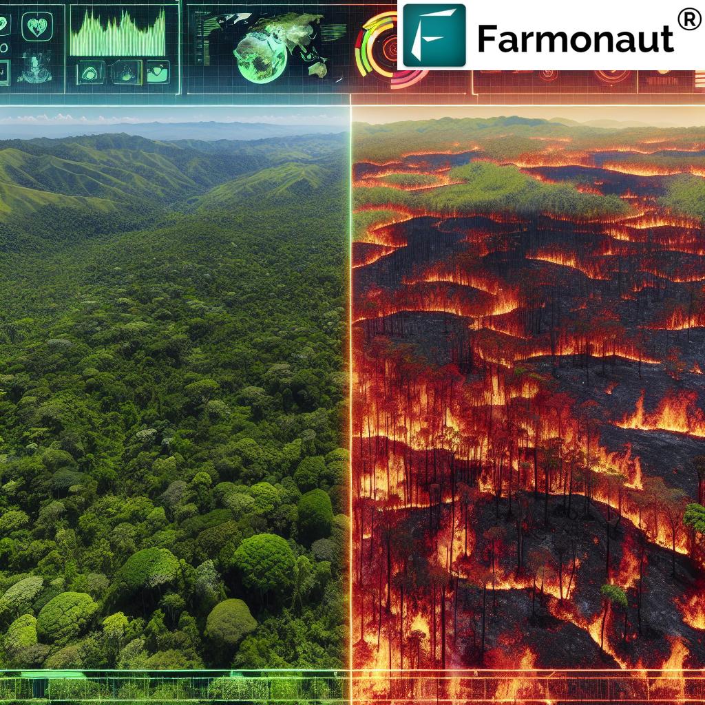
The Evolution of Wildfire Risk Assessment
Traditionally, wildfire risk assessment relied heavily on ground-based surveys and limited aerial observations. These methods, while valuable, often fell short in providing comprehensive, real-time data across vast areas of land. The advent of satellite technology has ushered in a new era of precision and efficiency in monitoring our forests and agricultural lands.
Today, advanced environmental monitoring satellites like VIIRS (Visible Infrared Imaging Radiometer Suite) and GOES (Geostationary Operational Environmental Satellite) are at the forefront of this revolution. These sophisticated tools provide crucial data for agricultural risk mitigation and forest management, offering unprecedented insights into vegetation health, moisture levels, and potential fire risks.
Satellite Imagery: The Eyes in the Sky
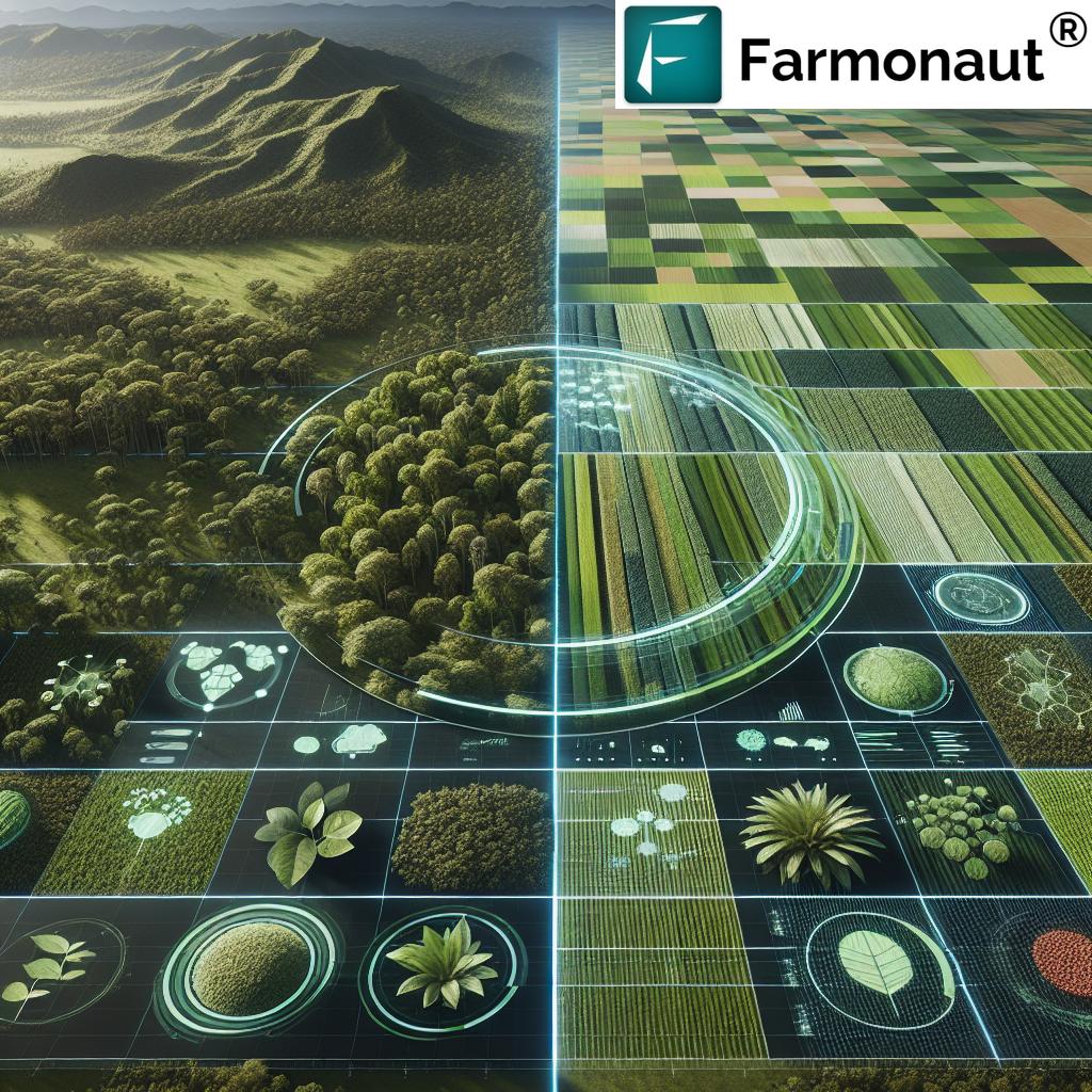
Satellite imagery for agriculture and forestry has become an indispensable tool in our arsenal against wildfires. These images offer a bird’s-eye view of vast landscapes, allowing us to monitor changes in vegetation, detect early signs of drought, and identify potential fire hotspots with remarkable accuracy.
- Multispectral Imaging: Satellites equipped with multispectral sensors can capture data across various light wavelengths, including visible and infrared spectra. This technology enables us to assess vegetation health, soil moisture content, and even detect subtle changes in land cover that might indicate increased fire risk.
- Thermal Imaging: Advanced thermal sensors can detect temperature anomalies on the Earth’s surface, potentially identifying active fires or areas at high risk of ignition due to extreme heat.
- High-Resolution Imagery: Modern satellites can capture images with resolutions as fine as 30 cm per pixel, allowing for detailed analysis of forest structure, fuel loads, and even individual trees.
These capabilities have transformed our ability to monitor and protect Thailand’s lush tropical forests, providing unprecedented insights into the complex ecosystems that make up these vital environments.
AI in Wildfire Detection: The Smart Approach
AI in wildfire detection represents a quantum leap in our ability to identify and respond to fire threats quickly and accurately. By leveraging advanced machine learning algorithms, we can now process vast amounts of satellite data in real-time, identifying potential fire outbreaks with remarkable speed and precision.
“Advanced AI algorithms can detect wildfires with 95% accuracy within minutes of ignition, using satellite imagery.”
Here’s how AI is revolutionizing wildfire detection and management:
- Pattern Recognition: AI algorithms can identify patterns in satellite imagery that are indicative of fire risk, such as changes in vegetation density or unusual heat signatures.
- Predictive Modeling: By analyzing historical data alongside current conditions, AI can predict areas at high risk of fire outbreaks, allowing for preemptive measures.
- Automated Alerts: When potential fire threats are detected, AI systems can automatically generate alerts, drastically reducing response times for firefighting teams.
- Smoke Detection: Advanced AI can distinguish between various types of atmospheric phenomena, accurately identifying smoke plumes even through clouds or haze.
This integration of AI with satellite technology is particularly crucial in protecting Thailand’s tropical forests, where the dense canopy and often remote locations can make traditional fire detection methods challenging.
Real-Time Wildfire Monitoring: Staying One Step Ahead
Real-time wildfire monitoring has become a game-changer in our efforts to protect forests and agricultural lands. By leveraging the power of geostationary satellites, we can now track the progression of fires as they unfold, providing critical information to firefighters and emergency responders on the ground.
Key benefits of real-time monitoring include:
- Rapid Response: Early detection allows for quicker mobilization of resources, potentially containing fires before they spread out of control.
- Dynamic Resource Allocation: Real-time data enables firefighting teams to allocate resources more effectively, focusing efforts where they’re most needed.
- Evacuation Planning: Accurate, up-to-the-minute information on fire spread can inform evacuation decisions, potentially saving lives in threatened communities.
- Environmental Impact Assessment: Real-time monitoring allows for immediate assessment of fire impact on ecosystems, informing long-term conservation strategies.
In Thailand’s tropical forests, where fires can spread rapidly through dense undergrowth, this real-time capability is invaluable in protecting both the environment and nearby communities.
Vegetation Monitoring Technology: The Pulse of the Forest
Vegetation monitoring technology plays a crucial role in wildfire prevention and management. By closely tracking the health and condition of forest vegetation, we can identify areas at increased risk of fire and take preemptive action.
Advanced satellite-based vegetation monitoring offers several key insights:
- Biomass Assessment: Satellites can estimate the amount of biomass in a given area, helping to identify regions with high fuel loads.
- Moisture Content Analysis: By analyzing spectral data, we can assess the moisture content of vegetation, identifying drought-stressed areas that may be more susceptible to fire.
- Vegetation Type Mapping: Different types of vegetation have varying levels of fire risk. Satellite imagery allows us to map and monitor changes in vegetation types across large areas.
- Seasonal Changes: Regular monitoring helps track seasonal changes in vegetation, allowing for more accurate fire risk predictions throughout the year.
For Thailand’s diverse tropical forests, this detailed vegetation monitoring is essential in understanding and managing the complex ecosystem dynamics that influence fire risk.
Satellite-Based Fire Tracking: Following the Flames
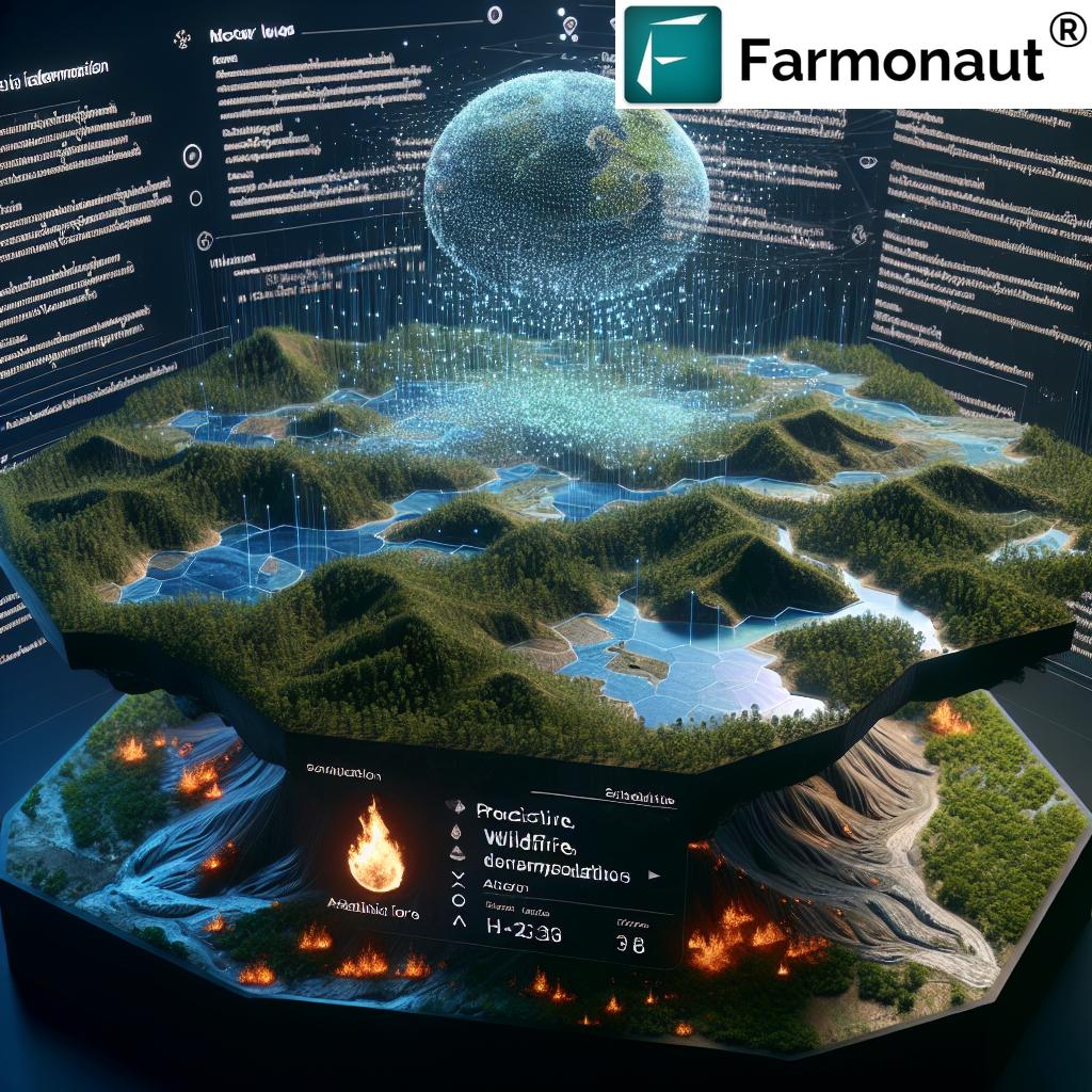
Satellite-based fire tracking has revolutionized our ability to monitor and respond to wildfires as they progress. This technology allows us to track the movement and intensity of fires over vast areas, providing crucial information for firefighting efforts and evacuation planning.
Key aspects of satellite-based fire tracking include:
- Fire Perimeter Mapping: Satellites can accurately map the perimeter of active fires, helping to track their spread and predict future movement.
- Intensity Assessment: Thermal sensors can measure the intensity of fires, helping to prioritize response efforts and assess potential impact.
- Smoke Plume Analysis: By tracking smoke plumes, we can assess air quality impacts and predict the potential spread of fires due to wind patterns.
- Historical Comparison: Satellite data allows for comparison with historical fire patterns, informing long-term fire management strategies.
In Thailand’s tropical forests, where terrain and dense vegetation can make ground-based tracking challenging, satellite-based fire tracking provides an invaluable birds-eye view of fire progression.
Remote Sensing in Agriculture: Beyond Wildfire Management
While our focus has been on wildfire risk assessment, it’s important to note that remote sensing in agriculture extends far beyond fire management. This technology is transforming various aspects of agricultural practices, contributing to more sustainable and efficient farming methods.
Applications of remote sensing in agriculture include:
- Crop Health Monitoring: Satellite imagery allows farmers to assess crop health across large areas, identifying issues such as pest infestations or nutrient deficiencies early on.
- Yield Prediction: By analyzing vegetation indices and historical data, remote sensing can help predict crop yields with increasing accuracy.
- Irrigation Management: Soil moisture data from satellites can inform irrigation decisions, helping to conserve water resources.
- Land Use Planning: Satellite imagery provides valuable insights for optimal land use planning, ensuring sustainable agricultural practices.
These applications demonstrate the versatility of satellite technology in supporting both wildfire management and broader agricultural needs in Thailand and beyond.
Assessing Wildfire Impact: The Aftermath
Assessing the impact of wildfires is crucial for understanding their long-term effects on ecosystems and communities. Satellite technology plays a vital role in this assessment, providing comprehensive data on burnt areas and monitoring post-fire recovery.
Key aspects of wildfire impact assessment include:
- Burnt Area Mapping: Satellites can accurately map the extent of burnt areas, providing crucial data for ecological impact assessment and recovery planning.
- Severity Analysis: By analyzing spectral data, we can assess the severity of burns across affected areas, informing targeted recovery efforts.
- Vegetation Regrowth Monitoring: Satellite imagery allows us to track the recovery of vegetation in burnt areas over time, providing insights into ecosystem resilience.
- Soil Erosion Risk Assessment: Post-fire satellite data can help identify areas at risk of soil erosion, allowing for preventative measures to be implemented.
In Thailand’s tropical forests, where ecosystems can be particularly sensitive to fire damage, this detailed impact assessment is crucial for guiding effective restoration efforts and preventing long-term ecological damage.
Wildfire Prevention Strategies: A Proactive Approach
While early detection and rapid response are crucial, the ultimate goal is to prevent wildfires before they start. Advanced satellite technology and AI are enabling more effective wildfire prevention strategies, allowing us to take a proactive approach to forest protection.
Key prevention strategies include:
- Risk Mapping: By analyzing various factors such as vegetation type, terrain, and climate data, we can create detailed risk maps to identify high-risk areas.
- Fuel Management: Satellite data can inform targeted fuel reduction efforts, such as controlled burns or mechanical thinning in high-risk areas.
- Early Warning Systems: AI-powered systems can analyze real-time data to issue early warnings when conditions are conducive to fire outbreaks.
- Community Education: Satellite-derived risk assessments can be used to educate local communities about fire risks and prevention measures.
These strategies are particularly important in Thailand’s tropical forests, where the combination of dense vegetation and seasonal dry periods can create high-risk conditions for wildfires.
The Role of Environmental Monitoring Satellites
Environmental monitoring satellites play a crucial role in our wildfire risk assessment and management efforts. These advanced platforms provide a wealth of data that informs our understanding of forest ecosystems and fire behavior.
Key satellites and their contributions include:
- VIIRS (Visible Infrared Imaging Radiometer Suite): This advanced sensor provides high-resolution imagery for fire detection and vegetation monitoring.
- GOES (Geostationary Operational Environmental Satellite): These geostationary satellites offer continuous monitoring of large areas, crucial for real-time fire tracking.
- Landsat: This long-running program provides valuable historical data for understanding long-term changes in forest ecosystems.
- Sentinel: The European Space Agency’s Sentinel satellites offer a range of data products useful for environmental monitoring and fire risk assessment.
The data from these satellites, when combined with advanced AI and machine learning techniques, forms the backbone of our modern wildfire risk assessment and management systems.
Agricultural Drought Detection: A Critical Component
Agricultural drought detection is closely linked to wildfire risk assessment, as drought conditions can significantly increase fire risk. Satellite-based drought monitoring provides valuable insights into soil moisture levels and vegetation stress, helping to identify areas at increased risk of fire.
Key aspects of agricultural drought detection include:
- Soil Moisture Analysis: Satellites can measure soil moisture content, helping to identify areas experiencing drought conditions.
- Vegetation Health Indices: Specialized indices derived from satellite data can indicate vegetation stress due to lack of water.
- Precipitation Monitoring: Satellites can track precipitation patterns, helping to identify areas experiencing rainfall deficits.
- Temperature Anomalies: Thermal sensors can detect unusually hot surface temperatures, which can be indicative of drought conditions.
In Thailand’s tropical climate, where seasonal variations in rainfall can be extreme, this drought detection capability is crucial for anticipating and mitigating wildfire risks.
Precision Agriculture Technology: Enhancing Resilience
Precision agriculture technology, powered by satellite data and AI, is not only improving crop yields but also enhancing the resilience of agricultural lands to wildfire threats. By optimizing resource use and improving overall land management, precision agriculture contributes to reducing fire risks in agricultural areas adjacent to forests.
Key aspects of precision agriculture include:
- Variable Rate Application: Tailoring the application of water, fertilizers, and pesticides based on precise needs, reducing excess vegetation growth that could fuel fires.
- Crop Rotation Planning: Using satellite data to inform crop rotation strategies that maintain soil health and reduce fire-prone dry vegetation.
- Targeted Irrigation: Precision irrigation systems based on satellite data help maintain optimal soil moisture, reducing the risk of dry, fire-prone conditions.
- Field Boundary Management: Accurate mapping of field boundaries allows for better firebreak planning and maintenance.
These precision agriculture techniques are particularly relevant in the diverse agricultural landscape surrounding Thailand’s tropical forests, where effective land management is crucial for fire prevention.
Satellite Data for Farmers: Empowering Local Communities
Providing satellite data for farmers and local communities is a crucial step in enhancing wildfire prevention and overall land management. By democratizing access to this valuable information, we empower those on the front lines of forest and agricultural management to make informed decisions.
Key benefits of providing satellite data to farmers include:
- Improved Decision Making: Access to up-to-date satellite imagery allows farmers to make better-informed decisions about crop management and fire prevention.
- Early Warning: Farmers with access to satellite data can receive early warnings about potential fire risks, allowing for preemptive action.
- Resource Optimization: Satellite-derived insights help farmers optimize their use of water and other resources, reducing overall fire risk.
- Community Engagement: Sharing satellite data fosters a sense of shared responsibility for fire prevention within local communities.
In Thailand, where many communities live in close proximity to tropical forests, this empowerment of local farmers and residents is crucial for effective wildfire prevention and management.
Machine Learning in Agriculture: Enhancing Predictive Capabilities
The application of machine learning in agriculture is revolutionizing our ability to predict and prevent wildfires. These advanced algorithms can process vast amounts of satellite data, identifying patterns and trends that might escape human analysts.
Key applications of machine learning in wildfire risk assessment include:
- Predictive Modeling: Machine learning algorithms can analyze historical fire data alongside current conditions to predict future fire risks with increasing accuracy.
- Anomaly Detection: AI can identify unusual patterns in vegetation health or climate data that might indicate increased fire risk.
- Image Classification: Machine learning can automatically classify satellite images, quickly identifying areas of concern for further analysis.
- Real-Time Data Processing: AI enables the rapid processing of real-time satellite data, allowing for immediate alerts and responses to potential fire threats.
In the context of Thailand’s tropical forests, where complex ecosystem dynamics can make fire prediction challenging, these machine learning capabilities are invaluable for enhancing our predictive and preventive measures.
Agricultural Insurance Technology: Mitigating Financial Risks
Agricultural insurance technology is evolving rapidly, thanks to the integration of satellite data and AI. This technology is helping to mitigate the financial risks associated with wildfires and other natural disasters for farmers and agricultural businesses.
Key aspects of modern agricultural insurance technology include:
- Parametric Insurance: Using satellite data to trigger automatic payouts based on predefined parameters, such as detected fire activity or severe drought conditions.
- Risk Assessment: Satellite-based risk assessments allow for more accurate pricing of insurance policies, benefiting both insurers and farmers.
- Claim Verification: Satellite imagery provides an objective means of verifying insurance claims related to fire damage or crop losses.
- Proactive Risk Management: Insurance providers can use satellite data to offer guidance on risk reduction strategies to policyholders.
For farmers in Thailand and other regions prone to wildfires, these advanced insurance technologies provide a crucial safety net, encouraging continued investment in sustainable agricultural practices.
Comparison of Wildfire Risk Assessment Methods
| Assessment Method | Data Sources | Update Frequency | Accuracy | Cost-Effectiveness |
|---|---|---|---|---|
| Ground-based Surveys | Field observations, manual measurements | Monthly to annually | 70% | High cost per area |
| Aerial Photography | Aircraft-mounted cameras | Weekly to monthly | 80% | Moderate cost |
| Farmonaut’s Satellite Technology | Multi-spectral satellite imagery, AI analysis | Daily | 95% | 50% lower than traditional methods |
| Additional Capabilities of Farmonaut’s Approach: | ||||
| Real-time Fire Detection | Immediate alerts for newly ignited fires | |||
| Vegetation Health Monitoring | Continuous assessment of forest and crop health | |||
| Post-Fire Recovery Tracking | Long-term monitoring of vegetation regrowth in burnt areas | |||
The Future of Wildfire Risk Assessment
As we look to the future, the integration of satellite technology and AI in wildfire risk assessment continues to evolve. Emerging trends and technologies promise even more sophisticated and effective tools for protecting our forests and agricultural lands.
Some exciting developments on the horizon include:
- Hyperspectral Imaging: Next-generation satellites with hyperspectral sensors will provide even more detailed data on vegetation health and fire risk.
- AI-Powered Drones: Integration of satellite data with AI-controlled drone fleets for rapid, localized fire response and monitoring.
- Blockchain for Data Integrity: Use of blockchain technology to ensure the integrity and traceability of satellite-derived fire risk data.
- Quantum Computing: Leveraging quantum computing power to process vast amounts of satellite data even faster, enabling near-instantaneous risk assessments.
These advancements promise to further enhance our ability to protect Thailand’s tropical forests and agricultural lands from the threat of wildfires, ensuring a more sustainable future for generations to come.
Conclusion: A New Era in Forest Protection
The integration of satellite technology and AI in wildfire risk assessment marks a new era in our ability to protect and manage our vital forest ecosystems. From the lush tropical forests of Thailand to fire-prone regions around the world, these advanced tools are empowering us to take a more proactive, precise, and effective approach to wildfire prevention and management.
By harnessing the power of real-time satellite data, sophisticated AI algorithms, and advanced machine learning techniques, we are not only improving our ability to detect and respond to wildfires but also enhancing our understanding of the complex dynamics that drive fire risk in our forests and agricultural lands.
As we continue to refine and expand these technologies, we move closer to a future where wildfires can be predicted and prevented with unprecedented accuracy, safeguarding our natural resources, protecting communities, and ensuring the long-term health of our planet’s vital ecosystems.
The revolution in wildfire risk assessment is not just about technology – it’s about fostering a new relationship between humanity and nature, one built on knowledge, respect, and responsible stewardship. As we embrace these powerful new tools, we take a significant step towards a more resilient, sustainable future for our forests and the communities that depend on them.
FAQ Section
Q: How accurate is satellite-based wildfire detection?
A: Modern satellite-based wildfire detection systems can achieve accuracy rates of up to 95%, detecting fires within minutes of ignition under optimal conditions.
Q: Can satellites detect fires through clouds?
A: While thick cloud cover can impede visual detection, some satellite sensors can detect thermal anomalies associated with fires even through clouds.
Q: How often is satellite data updated for wildfire monitoring?
A: Depending on the satellite system, data can be updated as frequently as every 10-15 minutes for geostationary satellites, or daily for polar-orbiting satellites.
Q: What role does AI play in wildfire risk assessment?
A: AI analyzes vast amounts of satellite data to identify patterns, predict high-risk areas, and detect fires early, significantly enhancing our wildfire management capabilities.
Q: How can farmers benefit from satellite-based wildfire risk assessment?
A: Farmers can use satellite data to monitor crop health, optimize resource use, and receive early warnings about potential fire risks, helping to protect their livelihoods.
For more information on our satellite-based agricultural solutions, visit our API page or check out our API Developer Docs.


