Comprehensive Guide to Land Use Classification: Types, Methods, and Global Standards
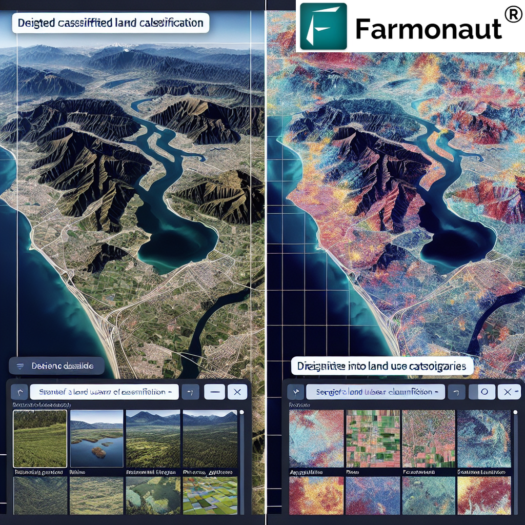
In today’s rapidly evolving world, understanding and managing our land resources has become more crucial than ever. At Farmonaut, we recognize the importance of land use classification in various sectors, including agriculture, urban planning, and environmental management. This comprehensive guide will delve into the intricacies of land use classification, exploring its types, methods, and global standards. We’ll also discuss how innovative technologies, like our satellite-based solutions, are revolutionizing this field.
Table of Contents
- Introduction to Land Use Classification
- Types of Land Use Classification
- Methods of Land Use Classification
- Global Standards in Land Use Classification
- Land Use Classification Colors and Their Significance
- How to Find Land Use Classification Information
- Land Use Classification in New Zealand: A Case Study
- The Role of Technology in Modern Land Use Classification
- Farmonaut’s Contribution to Land Use Classification
- Future Trends in Land Use Classification
- FAQ Section
1. Introduction to Land Use Classification
Land use classification is a systematic categorization of land based on its current use or potential for use. This process is fundamental to understanding how our land resources are utilized and managed. The classification of land use serves multiple purposes:
- Urban and regional planning
- Agricultural management
- Environmental conservation
- Economic development
- Policy-making and governance
At Farmonaut, we understand that accurate land use classification is the foundation for effective land management and sustainable development. Our satellite-based solutions provide real-time, high-resolution data that aids in precise land use classification, particularly in agricultural contexts.
2. Types of Land Use Classification
The land type classification system encompasses various categories, each reflecting different uses of land. The most common types include:
- Agricultural Land: Used for farming, including cropland, pastures, and orchards.
- Residential Land: Areas designated for housing and living spaces.
- Commercial Land: Used for business and retail purposes.
- Industrial Land: Designated for manufacturing, processing, and production facilities.
- Recreational Land: Parks, sports fields, and other leisure areas.
- Transportation Land: Roads, railways, airports, and other transportation infrastructure.
- Conservation Land: Protected areas for wildlife and natural habitats.
Understanding these categories is crucial for effective land management. At Farmonaut, our satellite imagery and AI-powered analysis help identify and monitor these different land use types, especially in agricultural contexts.
3. Methods of Land Use Classification
The process of land use and land cover classification involves various methods, each with its strengths and applications:
- Field Surveys: Traditional method involving on-ground observations.
- Aerial Photography: Using aircraft to capture high-resolution images.
- Satellite Remote Sensing: Utilizing satellite imagery for large-scale classification.
- GIS (Geographic Information Systems): Integrating various data sources for comprehensive analysis.
- Machine Learning and AI: Advanced algorithms for automatic classification of satellite imagery.
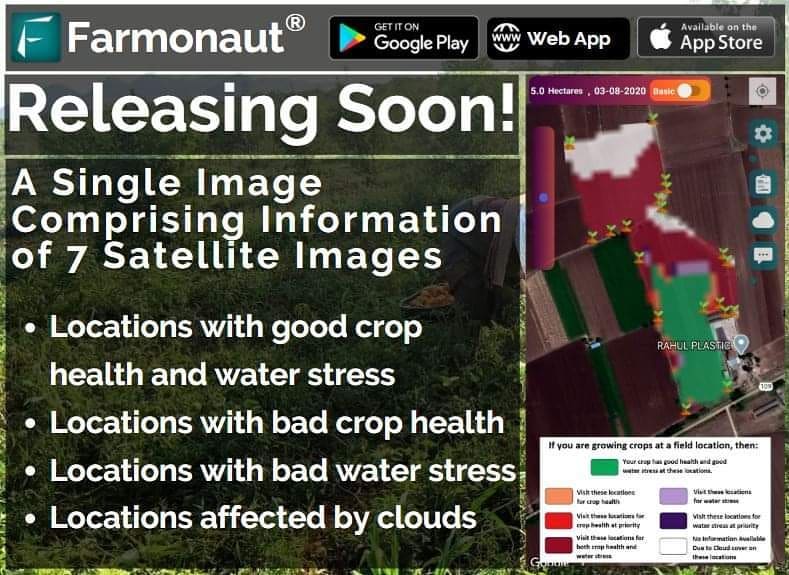
At Farmonaut, we specialize in satellite remote sensing and AI-driven analysis. Our advanced algorithms process multispectral satellite images to provide accurate and timely land use classification, particularly for agricultural lands. This technology allows us to monitor crop health, soil moisture, and land use changes over time.
4. Global Standards in Land Use Classification
Several global standards exist for land use classification, ensuring consistency and comparability across different regions:
- CORINE Land Cover: Used widely in Europe.
- USGS Land Use/Land Cover Classification System: Developed by the United States Geological Survey.
- FAO Land Cover Classification System: A comprehensive global system.
- NRSC Land Use Classification: Developed by the National Remote Sensing Centre in India.
The NRSC land use classification system, for instance, is particularly relevant in the Indian context, where Farmonaut has a significant presence. This system provides a detailed categorization of land use types, which we integrate into our analysis to provide localized, relevant insights to our users.
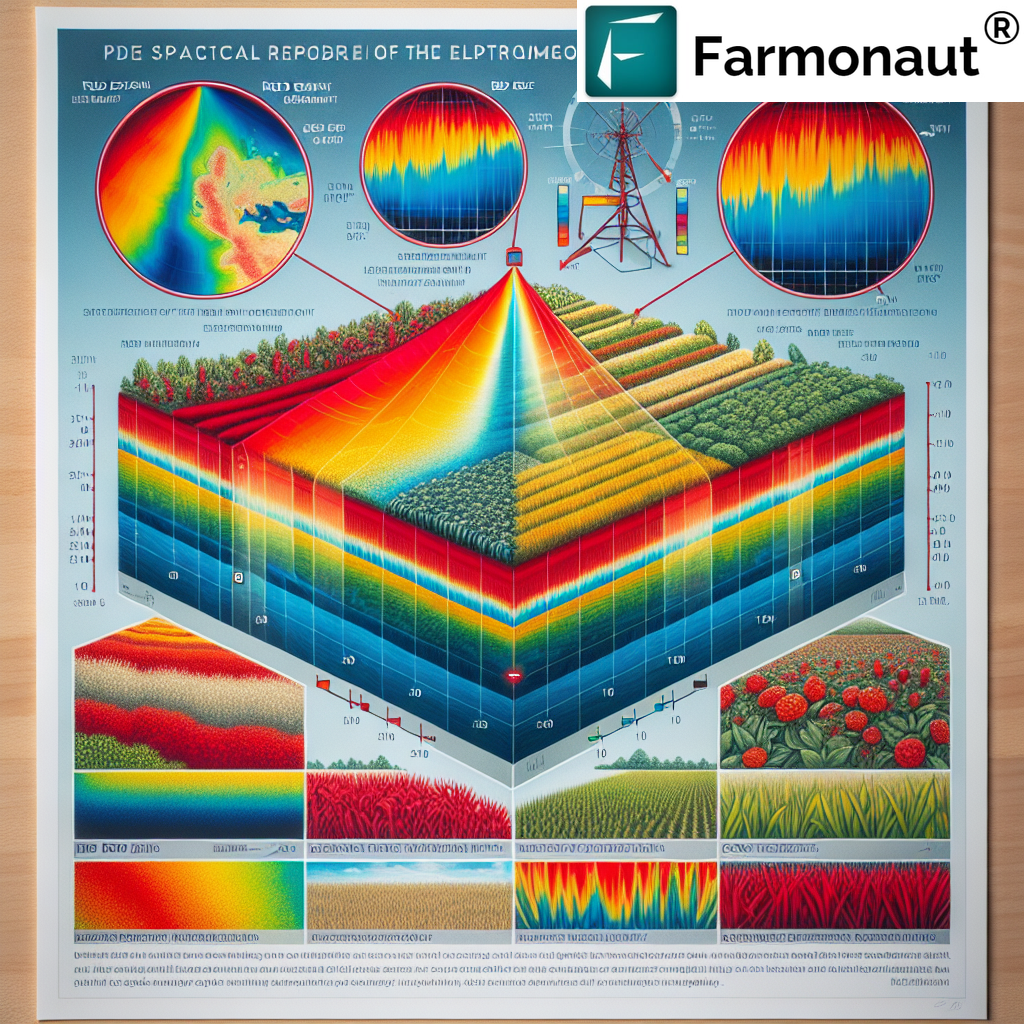
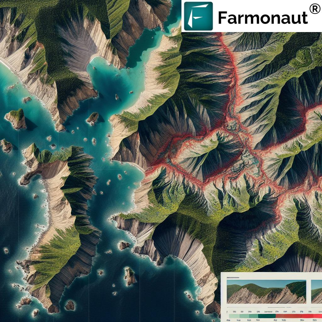
5. Land Use Classification Colors and Their Significance
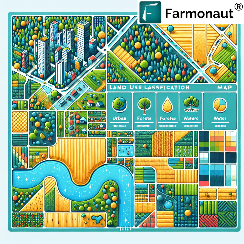
Land use classification colors play a crucial role in visualizing and interpreting land use data. These colors are standardized to ensure consistency across different maps and platforms:
- Green: Usually represents vegetation, forests, or agricultural areas.
- Yellow: Often used for croplands or grasslands.
- Red: Typically indicates urban or built-up areas.
- Blue: Represents water bodies.
- Brown: Often used for barren land or deserts.
- Purple: Sometimes used for industrial or commercial areas.
At Farmonaut, we utilize these color conventions in our satellite imagery analysis, making it easier for our users to interpret the data at a glance. Our platform’s interface incorporates these color codes to provide intuitive visual representations of land use patterns.
6. How to Find Land Use Classification Information
For those wondering how to find land use classification information, there are several resources available:
- Government Databases: Many countries maintain public land use databases.
- GIS Platforms: Tools like ArcGIS or QGIS offer land use data layers.
- Satellite Imagery Providers: Companies like Farmonaut offer detailed land use classification data.
- Academic Institutions: Universities often conduct land use studies and publish their findings.
- International Organizations: Entities like FAO and UN provide global land use data.
At Farmonaut, we provide easy access to up-to-date land use classification information through our platform. Our users can simply log in to their account at Farmonaut App to view detailed land use data for their areas of interest.
7. Land Use Classification in New Zealand: A Case Study
The land use classification NZ (New Zealand) system offers an interesting case study in how different countries adapt classification systems to their unique landscapes:
- LCDB (Land Cover Database): New Zealand’s primary land cover classification system.
- LRIS Portal: Provides access to various land resource information, including land use data.
- Agribase: A spatial database of land use on individual properties.
While Farmonaut’s primary focus is not on New Zealand, we recognize the importance of understanding diverse classification systems. This knowledge enhances our ability to provide globally relevant solutions in agricultural land use classification.
8. The Role of Technology in Modern Land Use Classification
Technology has revolutionized land use type classification, making it more accurate, efficient, and accessible:
- Satellite Imagery: Provides high-resolution, up-to-date data on land cover.
- Machine Learning: Automates the classification process, improving speed and accuracy.
- Big Data Analytics: Allows for processing and analysis of vast amounts of land use data.
- Cloud Computing: Enables easy access and sharing of land use information.
- Mobile Applications: Brings land use data to the fingertips of users in the field.
At Farmonaut, we leverage these technologies to provide cutting-edge land use classification services. Our satellite-based system, combined with AI and machine learning, offers superior land monitoring compared to traditional methods.
| Feature | Farmonaut Satellite System | Drone-based Monitoring | IoT-based Monitoring |
|---|---|---|---|
| Coverage Area | Global | Limited | Very Limited |
| Data Frequency | Daily | As per flight schedule | Continuous but localized |
| Cost-effectiveness | High | Moderate | Low |
| Ease of Use | Very Easy | Requires Training | Requires Setup and Maintenance |
| Data Analysis | AI-powered, Comprehensive | Limited | Specific to Sensors |
9. Farmonaut’s Contribution to Land Use Classification
At Farmonaut, we’re proud to be at the forefront of agricultural land use classification technology. Our contributions include:
- Real-time Satellite Monitoring: We provide daily updates on land use changes, crucial for agricultural management.
- AI-Powered Analysis: Our Jeevn AI system interprets satellite data to provide actionable insights on land use and crop health.
- Customized Classification: We tailor our land use classification to the specific needs of agricultural users.
- Integration with Other Data: Our system combines land use data with weather forecasts and historical trends for comprehensive analysis.
- Accessible Platforms: Through our mobile apps (Android and iOS) and web interface, we make land use data easily accessible to farmers and agribusinesses.
For developers and businesses looking to integrate our land use classification data into their systems, we offer robust API solutions. Check out our API documentation for more information.
10. Future Trends in Land Use Classification
As we look to the future, several trends are shaping the field of land use classification:
- Hyper-spectral Imaging: Providing even more detailed land use information.
- Integration with IoT: Combining satellite data with ground-based sensors for comprehensive monitoring.
- 3D Land Use Mapping: Adding a vertical dimension to traditional 2D classifications.
- Real-time Classification Updates: Moving towards instantaneous land use change detection.
- Blockchain for Land Use Verification: Ensuring the authenticity and traceability of land use data.
At Farmonaut, we’re actively researching and implementing these advanced technologies to stay ahead of the curve and provide our users with the most advanced land use classification tools available.
FAQ Section
Q1: What is the importance of land use classification?
A1: Land use classification is crucial for urban planning, agricultural management, environmental conservation, and policy-making. It provides a systematic way to understand and manage land resources efficiently.
Q2: How often should land use classification be updated?
A2: The frequency of updates depends on the rate of land use change in an area. In rapidly developing regions, annual updates might be necessary, while in more stable areas, updates every 3-5 years may suffice. At Farmonaut, we provide daily updates for agricultural lands.
Q3: Can I access land use classification data for my farm through Farmonaut?
A3: Yes, Farmonaut provides detailed land use classification data for agricultural lands. You can access this information through our mobile apps or web platform.
Q4: How accurate is satellite-based land use classification?
A4: Modern satellite-based classification, especially when combined with AI analysis like Farmonaut’s system, can achieve accuracy levels of over 90% for most land use categories.
Q5: Is there a standardized global land use classification system?
A5: While there are several widely used systems like the FAO Land Cover Classification System, there isn’t a single global standard. Different countries and regions often adapt these systems to their specific needs.
In conclusion, land use classification is a vital tool in modern land management and planning. As technology continues to evolve, the accuracy, accessibility, and applications of land use classification are expanding rapidly. At Farmonaut, we’re committed to leveraging these advancements to provide cutting-edge solutions for agricultural land use classification and management.
Interested in exploring how Farmonaut can help you with land use classification and agricultural management? Subscribe to our services today:
For more information on our API services, visit our API page. Together, let’s revolutionize agricultural land management with cutting-edge technology and data-driven insights!


