Revolutionizing Disaster Response: How Farmonaut’s Satellite Imagery Enhances Agricultural Sustainability and Crisis Management
“Satellite imagery can detect crop health issues up to 2 weeks earlier than traditional ground-based methods, enhancing agricultural sustainability.”
In an era where climate change and natural disasters pose increasing threats to global food security and human safety, innovative technologies are emerging as powerful tools in our collective response. At the forefront of this revolution is satellite imagery for agriculture and disaster response technology, which are transforming the way we approach both farming practices and crisis management. In this comprehensive exploration, we’ll delve into how Farmonaut’s cutting-edge platform is leveraging geospatial data in farming to enhance crop monitoring from space and agricultural sustainability mapping.
The Power of Satellite Imagery in Agriculture and Disaster Response
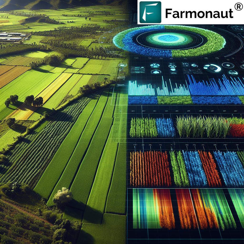
Satellite imagery has become an indispensable tool in modern agriculture and disaster management. By providing a bird’s-eye view of vast areas, satellites offer unparalleled insights into crop health, soil conditions, and the impact of natural disasters. This technology allows for:
- Real-time monitoring of agricultural lands
- Early detection of crop stress and diseases
- Accurate assessment of disaster-affected areas
- Efficient resource allocation during crisis response
Farmonaut’s platform harnesses this power, offering precision agriculture solutions that revolutionize farming practices while simultaneously providing crucial data for disaster response efforts.
Crop Monitoring from Space: A Game-Changer for Farmers
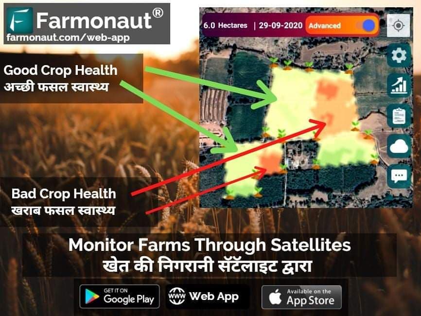
Crop monitoring from space has transformed the agricultural landscape. Through advanced satellite technology, farmers can now access detailed information about their fields without setting foot on them. This capability is particularly crucial in times of crisis, such as during droughts or floods, where physical access might be limited.
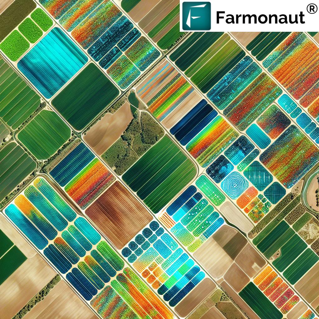
Farmonaut’s platform utilizes multispectral satellite images to provide farmers with:
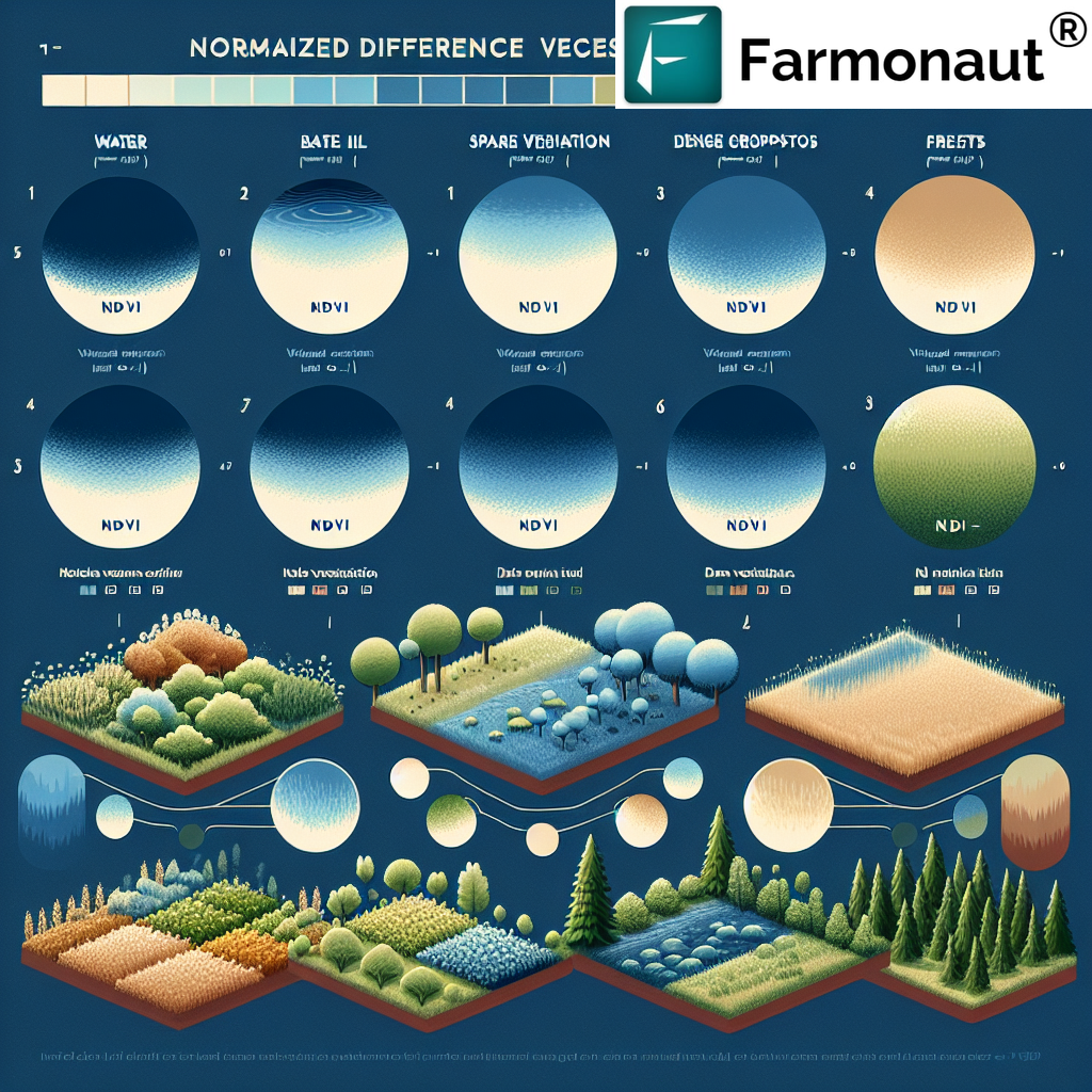
- Vegetation health indices (NDVI)
- Soil moisture analysis
- Crop stress detection
- Yield prediction models
These insights enable farmers to make data-driven decisions, optimizing resource use and mitigating potential losses due to environmental factors or disasters.
Agricultural Sustainability Mapping: Paving the Way for Resilient Farming
Agricultural sustainability mapping is a critical component in building resilient farming systems. By analyzing historical and real-time data, Farmonaut’s platform creates comprehensive maps that highlight:
- Areas prone to environmental stress
- Regions with optimal growing conditions
- Zones requiring conservation efforts
- Potential areas for crop diversification
This mapping not only aids in long-term agricultural planning but also plays a vital role in disaster preparedness. By identifying vulnerable areas, stakeholders can implement preventive measures and develop targeted response strategies.

Remote Sensing for Crop Health: Early Warning System for Agricultural Crises
Remote sensing for crop health serves as an early warning system for potential agricultural crises. Farmonaut’s advanced sensors can detect subtle changes in crop conditions, allowing for proactive measures to be taken before issues escalate. This technology is particularly valuable in:
- Identifying pest and disease outbreaks
- Monitoring nutrient deficiencies
- Assessing water stress
- Evaluating the impact of extreme weather events
By providing timely alerts, remote sensing enables rapid response to emerging threats, potentially saving entire harvests and livelihoods.
Satellite-Based Yield Prediction: Enhancing Food Security and Crisis Planning
Satellite-based yield prediction is a powerful tool in ensuring food security and facilitating effective crisis planning. Farmonaut’s AI-driven algorithms analyze various factors, including:
- Historical yield data
- Current crop health indicators
- Weather patterns and forecasts
- Soil conditions
This comprehensive analysis allows for accurate yield forecasts, enabling better resource allocation and disaster preparedness on both local and global scales.
Drought Detection Using Satellites: A Critical Tool in Water Management
Drought detection using satellites has become an indispensable tool in water management and agricultural planning. Farmonaut’s platform utilizes various satellite-derived indices to monitor drought conditions, including:
- Normalized Difference Vegetation Index (NDVI)
- Vegetation Condition Index (VCI)
- Temperature Condition Index (TCI)
- Soil Moisture Content (SMC)
By analyzing these indicators, we can identify areas experiencing drought stress, allowing for timely interventions and resource allocation to mitigate the impact on crops and communities.
“Farmonaut’s platform analyzes over 1 million acres of farmland daily, providing crucial data for precision farming and disaster response.”
Agriculture Disaster Management: A Holistic Approach to Resilience
Agriculture disaster management requires a holistic approach that combines preventive measures, real-time monitoring, and rapid response capabilities. Farmonaut’s platform integrates these elements by providing:
- Risk assessment tools for identifying vulnerable agricultural areas
- Early warning systems for impending disasters
- Damage assessment capabilities for post-disaster recovery
- Decision support systems for resource allocation during crises
This comprehensive approach enables stakeholders to build resilience in agricultural systems and respond effectively to disasters when they occur.
Explore Farmonaut’s API | API Developer Docs
The Role of Satellite Imagery in Natural Disaster Response
Beyond its applications in agriculture, satellite imagery plays a crucial role in responding to various natural disasters. Let’s explore how this technology is utilized in different crisis scenarios:
Earthquakes
In the aftermath of earthquakes, satellite imagery provides rapid damage assessments, helping emergency responders prioritize their efforts. High-resolution images can reveal:
- Collapsed buildings and infrastructure
- Blocked roads and access points
- Potential landslide risks
- Safe locations for setting up relief camps
Floods
During flood events, satellite data is invaluable for:
- Mapping inundated areas in real-time
- Predicting flood patterns based on terrain and water flow
- Identifying safe evacuation routes
- Assessing damage to agricultural lands and infrastructure
Wildfires
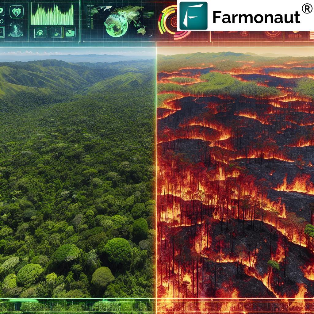
Satellite technology aids in wildfire management by:
- Detecting new fire outbreaks
- Tracking fire spread and intensity
- Assessing air quality and smoke dispersal
- Identifying areas at risk for post-fire landslides
Leveraging Geospatial Data for Humanitarian Efforts
The application of geospatial data extends beyond immediate disaster response, playing a crucial role in long-term humanitarian efforts. NGOs, government authorities, and international aid organizations are increasingly relying on satellite imagery to:
- Plan and implement sustainable development projects
- Monitor the progress of reconstruction efforts
- Assess the long-term environmental impact of disasters
- Develop resilience strategies for vulnerable communities
Farmonaut’s platform contributes to these efforts by providing accurate, up-to-date geospatial data that informs decision-making and resource allocation in humanitarian projects.
Advanced Analytics and Hyperspectral Imaging: The Future of Crisis Management
As technology continues to evolve, advanced analytics and hyperspectral imaging are opening new frontiers in crisis management and agricultural sustainability. These cutting-edge technologies offer:
- More detailed crop health assessments
- Enhanced ability to detect subtle environmental changes
- Improved prediction models for natural disasters
- Greater accuracy in resource management during crises
Farmonaut is at the forefront of integrating these technologies into its platform, ensuring that users have access to the most advanced tools for agricultural management and disaster response.
Download Farmonaut’s Mobile Apps:


Real-Time Monitoring: The Key to Proactive Crisis Management
Real-time monitoring capabilities are essential for proactive crisis management. Farmonaut’s platform provides continuous updates on:
- Crop health status
- Weather patterns and anomalies
- Soil moisture levels
- Potential disaster indicators
This real-time data allows for immediate action when issues arise, potentially preventing small problems from escalating into full-blown crises.
The Impact of Satellite Imagery on Global Food Security
The application of satellite imagery in agriculture and disaster response has far-reaching implications for global food security. By enabling more efficient farming practices and facilitating rapid response to crises, this technology helps to:
- Increase crop yields in sustainable ways
- Reduce food waste through better harvest timing
- Mitigate the impact of natural disasters on food production
- Improve the resilience of agricultural systems worldwide
Farmonaut’s contributions to this field are helping to create a more food-secure future for communities around the globe.
Comparison of Satellite Imagery Applications in Agriculture and Disaster Response
| Application Area | Satellite Imagery Use | Benefits | Real-world Examples |
|---|---|---|---|
| Crop Health Monitoring | NDVI analysis, multispectral imaging | Early detection of crop stress, optimized resource use | Potential crop yield increase: 10-15% |
| Yield Prediction | AI-driven analysis of historical and current data | Improved harvest planning, market stabilization | Accuracy improvement in yield forecasts: 20-30% |
| Drought Detection | Thermal imaging, soil moisture analysis | Early warning for water scarcity, improved irrigation management | Water savings in agriculture: up to 25% |
| Flood Mapping | SAR imaging, optical sensors | Rapid assessment of inundated areas, evacuation planning | Response time improvement: 30-40% |
| Wildfire Tracking | Thermal sensors, smoke detection algorithms | Real-time fire spread monitoring, improved firefighting strategies | Reduction in affected areas: up to 20% |
| Earthquake Damage Assessment | High-resolution optical imaging, SAR | Rapid identification of affected infrastructure, prioritized response | Damage assessment time reduction: 50-60% |
The Role of AI and Machine Learning in Interpreting Satellite Data
Artificial Intelligence (AI) and Machine Learning (ML) play crucial roles in interpreting the vast amounts of data generated by satellite imagery. These technologies enable:
- Automated detection of crop health issues
- Predictive modeling for natural disasters
- Pattern recognition in land use changes
- Rapid processing of large-scale imagery for crisis response
Farmonaut’s platform leverages AI and ML to provide actionable insights from complex satellite data, making it easier for users to make informed decisions in both agricultural management and disaster response scenarios.
Challenges and Future Directions in Satellite-Based Crisis Management
While satellite imagery has revolutionized agriculture and disaster response, there are still challenges to overcome and exciting future directions to explore:
- Improving data resolution for more detailed analysis
- Enhancing data processing speed for real-time applications
- Developing more sophisticated AI models for predictive analytics
- Integrating satellite data with ground-based sensors for comprehensive monitoring
- Addressing privacy concerns related to high-resolution imagery
Farmonaut is committed to addressing these challenges and pushing the boundaries of what’s possible with satellite technology in agriculture and crisis management.
Farmonaut Subscriptions
Frequently Asked Questions
Q: How accurate is satellite-based crop monitoring?
A: Satellite-based crop monitoring can be highly accurate, with precision levels often exceeding 90% for detecting major crop health issues and yield predictions. However, accuracy can vary depending on factors such as image resolution, cloud cover, and the specific metrics being measured.
Q: Can satellite imagery help small-scale farmers?
A: Yes, satellite imagery can be particularly beneficial for small-scale farmers. It provides access to valuable data and insights that were previously only available to large agricultural operations, helping level the playing field and improve overall farm management.
Q: How quickly can satellite data be used in disaster response?
A: With advanced processing systems, satellite data can be used in disaster response within hours of image acquisition. In some cases, preliminary assessments can be made in near real-time, allowing for rapid deployment of emergency resources.
Q: Is satellite imagery cost-effective for agricultural use?
A: Yes, satellite imagery has become increasingly cost-effective for agricultural use. Platforms like Farmonaut make this technology accessible and affordable, offering tiered pricing options to suit different needs and farm sizes.
Q: How does satellite imagery contribute to sustainable farming practices?
A: Satellite imagery contributes to sustainable farming by enabling precise resource management, reducing over-application of water and chemicals, minimizing soil degradation, and helping farmers adapt to changing climate conditions.
Conclusion: Embracing the Future of Agriculture and Crisis Management
As we’ve explored throughout this article, the integration of satellite imagery into agriculture and disaster response is not just transforming these fields – it’s revolutionizing our approach to global challenges. From enhancing crop yields to saving lives in the wake of natural disasters, the applications of this technology are vast and growing.
Farmonaut stands at the forefront of this revolution, providing cutting-edge solutions that make precision agriculture and efficient crisis management accessible to stakeholders at all levels. By harnessing the power of satellite imagery, AI, and advanced analytics, we’re not just observing the world – we’re actively shaping a more sustainable and resilient future.
As we look ahead, the potential for further innovation in this field is boundless. With ongoing advancements in satellite technology, data processing, and AI, we can anticipate even more precise, timely, and impactful applications in the years to come. The journey towards a more sustainable and secure world continues, and satellite imagery will undoubtedly play a pivotal role in guiding our path forward.
By embracing these technologies and the insights they provide, we can work together to build a future where agriculture is more productive and sustainable, and where our response to crises is swift, efficient, and effective. The view from above is not just a perspective – it’s a powerful tool for positive change on the ground.


