Unveiling Earth’s Secrets: From Infrared to Water Vapour – A Comprehensive Guide to Satellite Imagery

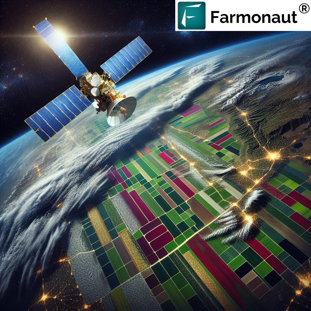
In the ever-evolving landscape of Earth observation and agricultural technology, satellite imagery has emerged as a powerful tool for understanding our planet and revolutionizing farming practices. At Farmonaut, we’re at the forefront of harnessing this technology to provide innovative solutions for farmers and agricultural professionals worldwide. In this comprehensive guide, we’ll explore the fascinating world of satellite imagery, from infrared to water vapour images, and how these technologies are shaping the future of agriculture.
1. Introduction to Satellite Imagery
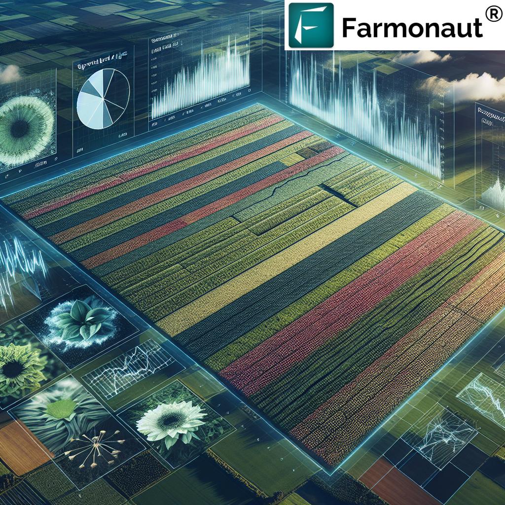
Satellite imagery has become an indispensable tool in various fields, particularly in agriculture. These images provide a bird’s-eye view of the Earth’s surface, offering invaluable insights into crop health, weather patterns, and environmental changes. At Farmonaut, we leverage this technology to empower farmers with data-driven decision-making tools.
Satellite images are captured by sensors aboard orbiting satellites. These sensors detect and measure different types of electromagnetic radiation reflected or emitted by the Earth’s surface. The data collected is then processed and transformed into visual representations that we can interpret and analyze.
2. Types of Satellite Images
There are several types of satellite images, each offering unique insights into different aspects of our planet. Let’s explore the main types we use in agricultural applications:
2.1 Infrared Satellite Images
Infrared satellite images are a crucial component of our Earth observation toolkit. These images capture the infrared radiation emitted by the Earth’s surface and atmosphere, providing valuable information that’s invisible to the naked eye.
Key features of infrared satellite images:
- Detect heat signatures
- Highlight temperature differences
- Useful for monitoring crop stress and drought conditions
- Can penetrate through thin clouds and smoke
At Farmonaut, we use infrared satellite images to assess crop health by analyzing heat signatures. Stressed or diseased plants often emit more heat than healthy ones, allowing us to identify potential issues before they become visible to the naked eye.
2.2 Visible Satellite Images
Visible satellite images are perhaps the most intuitive type of satellite imagery. These images capture light in the visible spectrum, similar to what the human eye sees.
Characteristics of visible satellite images:
- Show cloud patterns and formations
- Provide true-color representation of the Earth’s surface
- Useful for monitoring crop growth and development
- Limited by cloud cover and nighttime darkness
We integrate visible satellite images into our platform to provide farmers with a clear view of their fields, helping them track crop progress and identify areas that may need attention.
2.3 Water Satellite Images
Water satellite images are specialized images that focus on detecting and mapping water bodies and moisture content. These images are crucial for water resource management and flood monitoring.
Applications of water satellite images:
- Mapping water bodies and wetlands
- Monitoring flood extent and dynamics
- Assessing soil moisture content
- Tracking irrigation patterns and efficiency
At Farmonaut, we utilize water satellite images to help farmers optimize their irrigation strategies and manage water resources more effectively. This is particularly valuable in regions prone to drought or water scarcity.
2.4 Water Vapour Satellite Images
Water vapour satellite images provide insights into atmospheric moisture content and distribution. These images are invaluable for weather forecasting and understanding climate patterns.
Key aspects of water vapour satellite images:
- Highlight moisture content in the atmosphere
- Show movement of water vapour and air masses
- Useful for predicting precipitation and storm development
- Aid in understanding global water cycles
We incorporate water vapour satellite images into our weather forecasting models, providing farmers with accurate predictions to plan their agricultural activities effectively.
3. Applications in Agriculture
The integration of satellite imagery in agriculture has opened up new possibilities for precision farming and sustainable resource management. At Farmonaut, we harness these technologies to offer a range of solutions:
- Crop Health Monitoring: By analyzing infrared and visible satellite images, we can detect early signs of crop stress, disease, or pest infestations.
- Yield Prediction: Combining various types of satellite data with machine learning algorithms allows us to provide accurate yield forecasts.
- Water Management: Water satellite images help optimize irrigation schedules and detect leaks or inefficiencies in water distribution systems.
- Weather Forecasting: Utilizing water vapour satellite images and other meteorological data, we offer precise weather predictions tailored to specific farm locations.
- Soil Health Assessment: Multispectral satellite imagery enables us to analyze soil composition and health, guiding farmers in nutrient management decisions.
4. Farmonaut’s Approach to Satellite-Based Farm Management

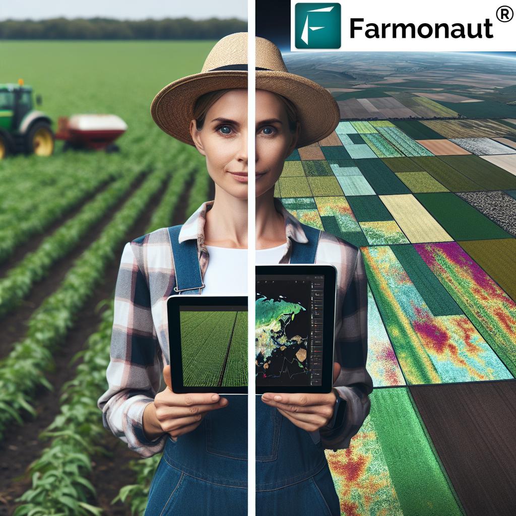
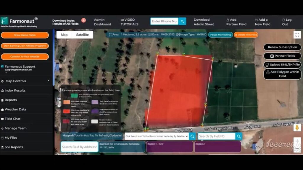
At Farmonaut, we’ve developed a comprehensive platform that leverages the power of satellite imagery to revolutionize farm management. Our approach combines cutting-edge technology with user-friendly interfaces to make precision agriculture accessible to farmers of all scales.
Key features of our satellite-based farm management system:
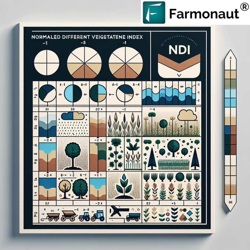
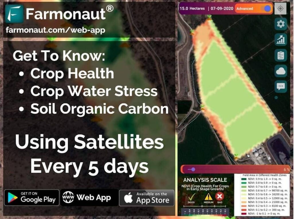
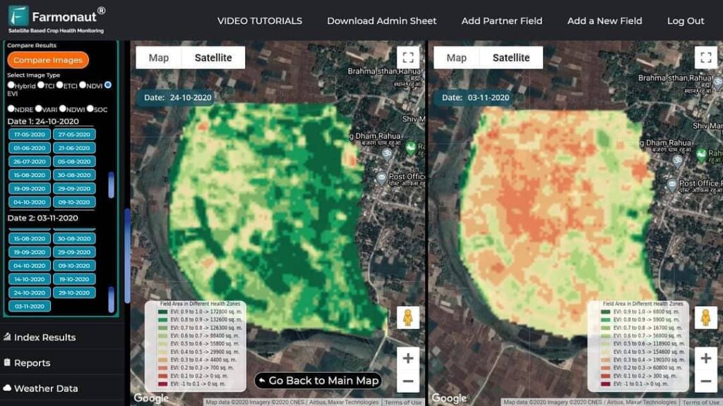
- Real-time Crop Monitoring: Our platform provides daily updates on crop health using NDVI (Normalized Difference Vegetation Index) derived from satellite imagery.
- AI-powered Advisory: Our Jeevn AI system analyzes satellite data to generate personalized recommendations for crop management.
- Weather Intelligence: We integrate satellite weather data to offer hyper-local weather forecasts and alerts.
- Resource Optimization: By analyzing various satellite imagery types, we help farmers optimize their use of water, fertilizers, and pesticides.
- Historical Analysis: Our platform allows farmers to compare current crop conditions with historical data, enabling better long-term planning.
To experience the power of our satellite-based farm management system, visit our web application or download our mobile app for Android or iOS.
Farmonaut Satellite System vs. Drone and IoT-based Monitoring
| Feature | Farmonaut Satellite System | Drone-based Monitoring | IoT-based Monitoring |
|---|---|---|---|
| Coverage Area | Global | Limited by flight range | Limited by sensor placement |
| Frequency of Data Collection | Daily | As needed (manual flights) | Continuous |
| Initial Setup Cost | Low | High (equipment purchase) | Medium to High |
| Operational Complexity | Low (cloud-based) | High (requires trained operators) | Medium (maintenance required) |
| Weather Dependency | Low (can penetrate clouds) | High (affected by wind, rain) | Low |
| Scalability | Highly scalable | Limited by equipment and operators | Requires additional sensors for scaling |
5. The Future of Satellite Imagery in Agriculture
As technology continues to advance, the future of satellite imagery in agriculture looks incredibly promising. At Farmonaut, we’re continuously innovating to stay at the forefront of these developments:
- Higher Resolution Imagery: Upcoming satellite constellations will provide even more detailed images, allowing for more precise crop analysis.
- Hyperspectral Imaging: This technology will enable the detection of specific crop stresses and diseases with unprecedented accuracy.
- Integration with IoT and AI: Combining satellite data with ground-based sensors and advanced AI algorithms will provide even more comprehensive farm management solutions.
- Real-time Analytics: Improvements in data processing and transmission will enable near real-time analysis of satellite imagery, allowing for faster response to changing conditions.
- Climate Change Monitoring: Satellite imagery will play a crucial role in understanding and adapting to the impacts of climate change on agriculture.
At Farmonaut, we’re committed to staying at the cutting edge of these developments, continually enhancing our platform to provide the most advanced and user-friendly satellite-based farm management solutions available.
6. FAQs
Q: How often are satellite images updated on the Farmonaut platform?
A: We provide 3-5 days updates for most regions, weather permitting. Our platform integrates data from multiple satellite constellations to ensure frequent and reliable coverage.
Q: Can satellite imagery detect specific crop diseases?
A: While satellite imagery can detect signs of crop stress, identifying specific diseases often requires additional ground-level verification. However, our AI algorithms can suggest possible causes based on patterns in the satellite data.
Q: How accurate are yield predictions based on satellite imagery?
A: The accuracy of yield predictions can vary depending on factors such as crop type and local conditions. However, our models, which combine satellite data with historical yields and weather information, typically achieve accuracy rates of 85-95%.
Q: Is Farmonaut’s satellite-based system suitable for small farms?
A: Absolutely! Our system is designed to be scalable and affordable for farms of all sizes. We offer flexible pricing plans to ensure that even small-scale farmers can benefit from our technology.
Q: How does cloud cover affect satellite imagery?
A: While thick cloud cover can obstruct visible satellite images, many of our analysis techniques use infrared and radar data that can penetrate clouds. This allows us to provide consistent monitoring even in cloudy conditions.
Q: Can Farmonaut’s system be integrated with other farm management software?
A: Yes, we offer API access that allows for seamless integration with other farm management tools. For more information, check out our API documentation.
Conclusion
Satellite imagery has revolutionized the way we understand and manage our agricultural landscapes. At Farmonaut, we’re proud to be at the forefront of this technological revolution, providing farmers with the tools they need to optimize their operations, increase yields, and promote sustainable farming practices.
From infrared satellite images that reveal hidden crop stress to water vapour satellite images that inform precise weather forecasts, we’re harnessing the power of Earth observation to drive the future of agriculture. As we continue to innovate and expand our capabilities, we remain committed to our mission of making precision agriculture accessible and affordable for farmers worldwide.
Ready to experience the power of satellite-based farm management? Subscribe to Farmonaut today and take your farming to new heights!
For more information on our satellite weather API and developer resources, visit our developer documentation.
Join us in shaping the future of agriculture with the power of satellite technology!


