Revolutionizing Manitou Springs: AI-Powered Urban Tree Tracking for a Greener, Cooler City
“Urban tree canopy cover can lower pavement temperatures by up to 36%, significantly reducing the heat island effect.”
Welcome to our comprehensive exploration of how Manitou Springs is harnessing the power of technology to revolutionize its urban landscape. In this blog post, we’ll delve into the innovative urban tree tracking initiatives that are transforming this charming Colorado city into a greener, cooler, and more sustainable environment for its residents.
The Green Revolution in Manitou Springs
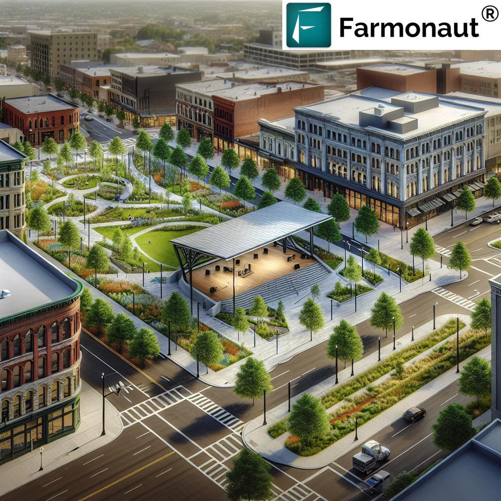
Manitou Springs, nestled in the heart of southern Colorado, is taking bold steps to enhance its urban canopy through cutting-edge tree tracking methods. As we explore this exciting journey, we’ll uncover how the city is leveraging drone imagery and artificial intelligence to map and analyze its tree coverage, setting a new standard for urban forestry management.
![]()
The Power of Urban Tree Tracking
Urban tree tracking is revolutionizing the way cities approach green infrastructure. By employing advanced technologies, Manitou Springs is gaining unprecedented insights into its tree population, enabling data-driven decisions for a healthier urban ecosystem.
- Precise mapping of existing tree coverage
- Identification of areas lacking sufficient greenery
- Strategic planning for future tree planting initiatives
This innovative approach allows city officials to make informed decisions about where to plant new trees, how to maintain existing ones, and how to maximize the benefits of urban forestry for all residents.
Drones and AI: The Dynamic Duo of Tree Mapping
At the heart of Manitou Springs’ tree tracking initiative lies a powerful combination of drone technology and artificial intelligence. This synergy allows for unprecedented accuracy in differentiating between various types of vegetation and structures.
- Drone imagery captures high-resolution aerial views of the city
- AI algorithms analyze the imagery to identify and classify trees
- Advanced software distinguishes between trees, green roofs, and other vegetation
By harnessing these technologies, Manitou Springs can create a comprehensive and accurate map of its urban forest, providing a solid foundation for future green infrastructure planning.
The Cool Benefits of a Robust Tree Canopy
Trees are more than just beautiful additions to our urban landscapes; they play a crucial role in mitigating the effects of urban heat islands. In Manitou Springs, the focus on enhancing tree coverage is driven by the numerous benefits trees provide to the city and its residents.
- Significant temperature reduction in urban areas
- Improved air quality through natural filtration
- Enhanced biodiversity and wildlife habitats
- Increased property values and aesthetic appeal
Perhaps most notably, research has shown that a healthy tree canopy can lower surface temperatures of pavement by up to 36%. This dramatic cooling effect is essential for creating a more comfortable and livable urban environment, especially as we face the challenges of climate change.
Mapping the Green Landscape: Current Tree Coverage in Manitou Springs
The ongoing tree tracking project in Manitou Springs has revealed some interesting insights into the current state of the city’s urban forest. Let’s take a closer look at how tree coverage varies across different areas of the city.
| Area Type | Current Tree Coverage (%) | Temperature Reduction (°F) | Estimated CO2 Absorption (tons/year) | Potential Planting Sites |
|---|---|---|---|---|
| Commercial District | 10% | 2-3°F | 50 | 200 |
| Residential Neighborhoods | 25% | 4-5°F | 125 | 150 |
| Parks and Recreation Areas | 40% | 6-7°F | 200 | 75 |
| Downtown Core | 15% | 3-4°F | 75 | 100 |
| Industrial Zones | 5% | 1-2°F | 25 | 250 |
This data clearly illustrates the disparity in tree coverage across different parts of Manitou Springs. While parks and recreation areas boast a healthy 40% coverage, commercial districts lag behind with only 10%. This information is crucial for developing targeted strategies to increase green coverage where it’s needed most.
The Road to a Greener Manitou Springs
Armed with this valuable data, city officials and urban planners in Manitou Springs are now better equipped to develop a strategic tree planting plan. This comprehensive approach aims to address the gaps in tree coverage and create a more balanced urban forest throughout the city.
- Prioritizing tree planting in commercial areas with low coverage
- Encouraging residential tree planting through community initiatives
- Implementing green infrastructure in new urban development projects
- Preserving and enhancing existing parks and green spaces
By focusing on these key areas, Manitou Springs is taking proactive steps towards creating a cooler, more sustainable urban environment for all its residents.
“Comprehensive urban tree tracking combines aerial imagery analysis with ground-based assessments to map city vegetation precisely.”
Beyond the Canopy: Ground-Level Assessments
While aerial imagery and AI provide a bird’s-eye view of the urban forest, Manitou Springs is also conducting ground-level assessments to gather more detailed information about its trees. This comprehensive approach combines the best of both worlds, offering a complete picture of the city’s green assets.
- Tree health evaluations
- Species identification and diversity assessments
- Age and growth stage analysis
- Risk assessments for potential hazards
These on-the-ground efforts complement the aerial data, providing a rich dataset that will inform future urban forestry decisions and ensure the long-term health of Manitou Springs’ trees.
The Role of Technology in Urban Forestry
As we delve deeper into Manitou Springs’ tree tracking initiatives, it’s clear that technology plays a pivotal role in modern urban forestry management. From satellite imagery to mobile apps, innovative tools are making it easier than ever to monitor and maintain urban trees.
One such tool that’s revolutionizing the field is Farmonaut’s satellite-based monitoring system. While primarily designed for agricultural applications, this technology has valuable applications in urban forestry as well.
Farmonaut’s platform offers real-time vegetation health monitoring through multispectral satellite imagery, providing insights that can be applied to urban tree management. While not specifically designed for city use, the principles of satellite-based vegetation monitoring can be adapted to track the health and growth of urban forests over time.
Community Engagement: The Heart of Urban Forestry
While technology and data are crucial components of Manitou Springs’ tree tracking efforts, community engagement remains at the heart of successful urban forestry initiatives. The city is taking steps to involve residents in the greening process, fostering a sense of ownership and pride in the urban forest.
- Public education programs on the benefits of urban trees
- Community tree planting events
- Volunteer opportunities for tree care and maintenance
- Citizen science initiatives for tree monitoring
By engaging the community, Manitou Springs is ensuring that its urban forestry efforts have lasting impact and widespread support.
The Future of Green Cities: Lessons from Manitou Springs
As Manitou Springs continues to pioneer innovative approaches to urban tree tracking and management, other cities are taking notice. The lessons learned from this Colorado community could have far-reaching implications for urban forestry practices across the globe.
- Integration of advanced technologies in urban planning
- Data-driven decision making for green infrastructure
- Balancing development with environmental preservation
- Adapting to climate change through strategic urban forestry
By embracing these principles, cities around the world can work towards creating greener, cooler, and more sustainable urban environments for future generations.
![]()
Challenges and Opportunities in Urban Tree Tracking
While the benefits of urban tree tracking are clear, the process is not without its challenges. Manitou Springs and other cities pursuing similar initiatives face several hurdles:
- Initial costs of implementing advanced technologies
- Training personnel to use new tools and interpret data
- Balancing tree planting with existing infrastructure
- Maintaining newly planted trees in harsh urban environments
However, these challenges also present opportunities for innovation and collaboration. Cities can partner with technology providers, academic institutions, and environmental organizations to develop solutions and share best practices.
The Role of AI and Machine Learning in Urban Forestry
Artificial intelligence and machine learning are playing an increasingly important role in urban forestry management. These technologies offer powerful tools for analyzing vast amounts of data and making predictions about tree health, growth patterns, and potential risks.
- Automated tree species identification from aerial imagery
- Predictive modeling for tree growth and canopy development
- Early detection of tree diseases and pest infestations
- Optimization of watering and maintenance schedules
As these technologies continue to evolve, they will undoubtedly shape the future of urban forestry management, making it more efficient and effective than ever before.
The Economic Impact of Urban Forests
While the environmental benefits of urban trees are well-documented, it’s important to also consider the economic impact of a healthy urban forest. Manitou Springs’ investment in tree tracking and management is likely to yield significant economic returns in the long run.
- Increased property values in well-treed neighborhoods
- Reduced energy costs for cooling in summer months
- Potential savings on stormwater management infrastructure
- Enhanced tourism appeal for a greener, more attractive city
By quantifying these economic benefits, city officials can make a strong case for continued investment in urban forestry initiatives.
Adapting to Climate Change Through Urban Forestry
As climate change continues to pose significant challenges for cities worldwide, urban forests play a crucial role in adaptation and resilience strategies. Manitou Springs’ focus on enhancing its tree canopy is a proactive step towards preparing for a changing climate.
- Mitigation of urban heat island effects
- Improved air quality and reduced pollution
- Enhanced stormwater management and flood prevention
- Carbon sequestration to offset urban emissions
By investing in its urban forest, Manitou Springs is not only creating a more pleasant environment for its residents but also building resilience against future climate-related challenges.
The Intersection of Urban Forestry and Smart City Technologies
As cities become increasingly “smart,” integrating technology into various aspects of urban life, there’s a growing opportunity to incorporate urban forestry management into these systems. Manitou Springs’ tree tracking initiative could potentially be integrated with other smart city technologies for even greater impact.
- IoT sensors for real-time monitoring of tree health and environmental conditions
- Integration with urban planning and development platforms
- Citizen engagement apps for tree care and reporting
- Data visualization tools for public education and awareness
By embracing these technologies, Manitou Springs can create a truly integrated approach to urban forest management that aligns with its broader smart city goals.
Expanding the Scope: From Municipal to Residential
While Manitou Springs’ current tree tracking efforts focus primarily on municipal areas, there are plans to expand the initiative to include residential neighborhoods. This expansion will provide a more comprehensive view of the city’s overall tree canopy and create opportunities for greater community involvement.
- Encouraging homeowners to participate in tree planting and maintenance
- Providing resources and guidance for residential tree care
- Creating incentives for private property owners to preserve and plant trees
- Developing a city-wide tree inventory that includes both public and private trees
By including residential areas in its tree tracking efforts, Manitou Springs can create a truly holistic approach to urban forestry management.
The Role of Education in Urban Forestry Success
As Manitou Springs continues to invest in its urban forest, education plays a crucial role in ensuring the long-term success of these initiatives. By fostering a deeper understanding of the importance of urban trees, the city can create a culture of stewardship among its residents.
- Incorporating urban forestry topics into school curricula
- Offering workshops and seminars on tree care and maintenance
- Creating interpretive signage in parks and green spaces
- Developing online resources and virtual tours of the city’s urban forest
Through these educational efforts, Manitou Springs can ensure that its commitment to urban forestry extends well into the future, creating a lasting legacy of environmental stewardship.
Conclusion: A Greener Future for Manitou Springs
As we’ve explored throughout this blog post, Manitou Springs is at the forefront of urban forestry innovation, leveraging cutting-edge technologies and community engagement to create a greener, cooler, and more sustainable city. From AI-powered tree mapping to ground-level assessments and community initiatives, the city is taking a comprehensive approach to urban forest management.
The lessons learned from Manitou Springs’ experiences will undoubtedly inspire and inform urban forestry efforts in cities around the world. As we face the challenges of climate change and rapid urbanization, the importance of robust urban forests cannot be overstated.
By continuing to invest in its trees and embracing innovative approaches to urban forestry, Manitou Springs is not only enhancing the quality of life for its residents but also setting a powerful example for cities everywhere. The future of urban living is green, and Manitou Springs is leading the way.
FAQs
- What is urban tree tracking?
Urban tree tracking is the process of mapping, monitoring, and analyzing the tree population within a city using various technologies such as satellite imagery, drones, and AI algorithms. - How does AI help in tree mapping?
AI algorithms can analyze aerial imagery to identify and classify trees, differentiate them from other vegetation, and provide accurate data on tree coverage and health. - What are the benefits of increasing urban tree coverage?
Benefits include temperature reduction, improved air quality, enhanced biodiversity, increased property values, and better stormwater management. - How much can trees reduce urban temperatures?
Urban tree canopy cover can lower pavement temperatures by up to 36%, significantly reducing the heat island effect in cities. - What challenges does Manitou Springs face in its urban forestry efforts?
Challenges include initial technology costs, training personnel, balancing tree planting with existing infrastructure, and maintaining newly planted trees in urban environments.
Earn With Farmonaut: Affiliate Program
Earn 20% recurring commission with Farmonaut’s affiliate program by sharing your promo code and helping farmers save 10%. Onboard 10 Elite farmers monthly to earn a minimum of $148,000 annually—start now and grow your income!
For more information on satellite-based monitoring and its applications in agriculture and urban forestry, check out Farmonaut’s resources:


