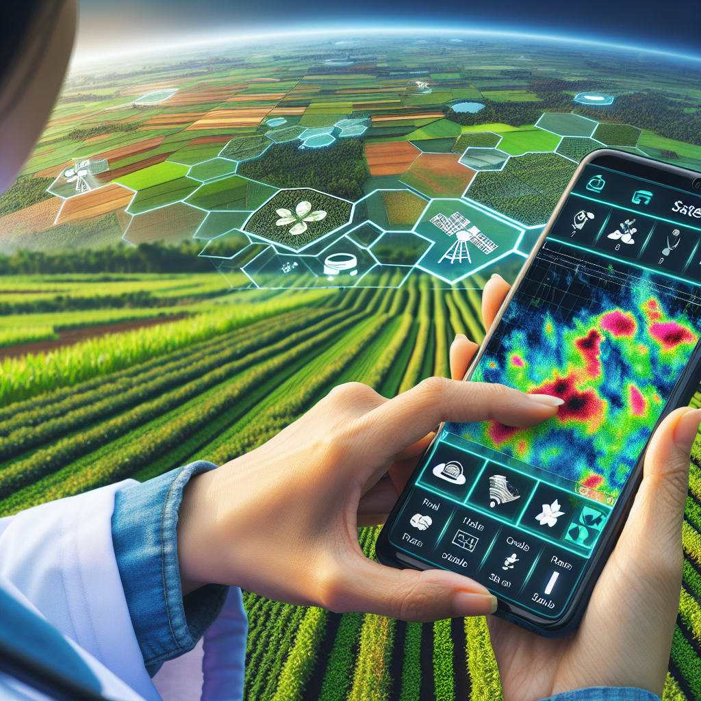
Revolutionizing Agriculture: Harnessing Satellite Technology for Farm Management and Beyond
In today’s rapidly evolving agricultural landscape, the integration of cutting-edge technology has become paramount for sustainable and efficient farming practices. At Farmonaut, we are at the forefront of this revolution, leveraging satellite technology to transform the way farmers manage their crops and respond to environmental challenges. From tracking cyclones to monitoring farm health, our innovative solutions are reshaping the future of agriculture.
The Power of Satellite Technology in Agriculture
Satellite technology has emerged as a game-changer in modern agriculture, offering unprecedented insights and capabilities that were once unimaginable. We at Farmonaut have harnessed this power to provide farmers with tools that enhance productivity and promote sustainable farming practices. Let’s delve into the various applications of satellite technology in agriculture and how they make a difference.
Cyclone Satellite Monitoring: Safeguarding Farms from Natural Disasters
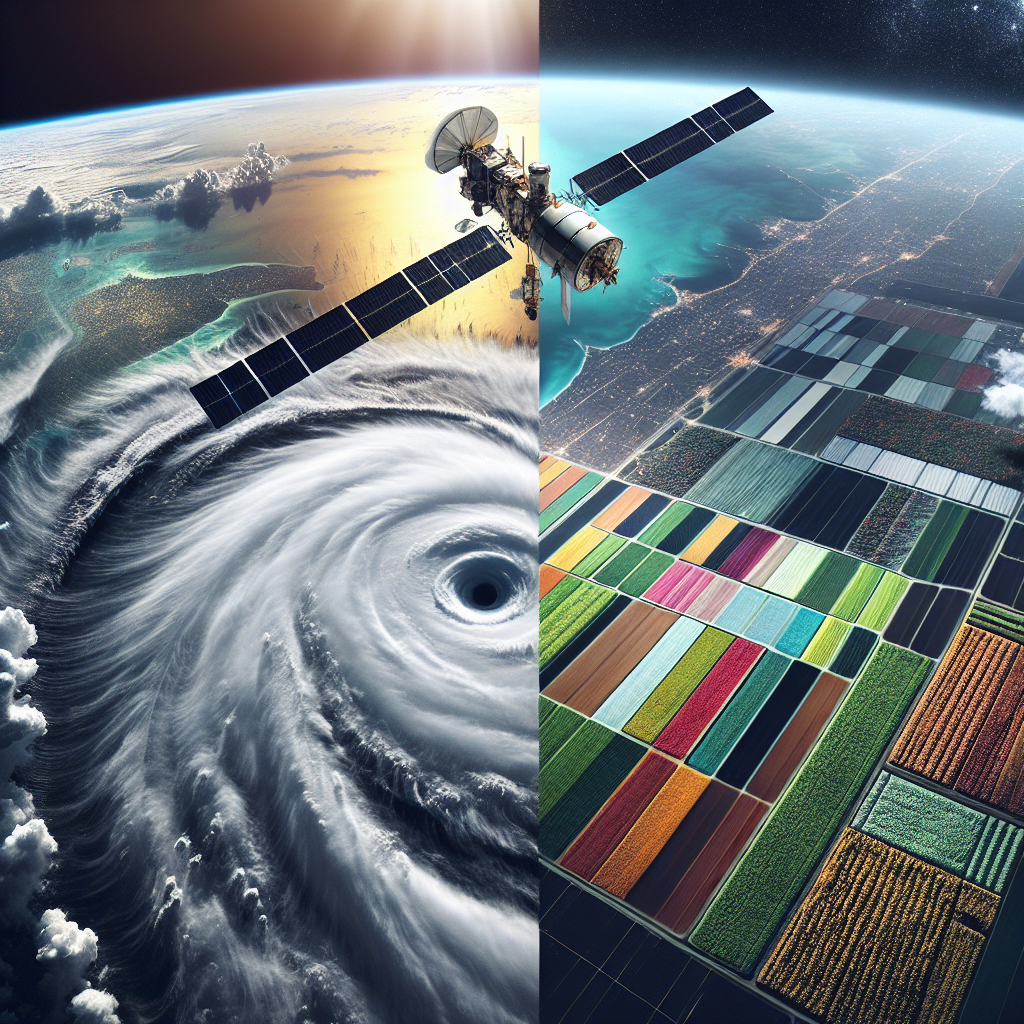
One of the most critical applications of satellite technology in agriculture is the ability to track and predict cyclones. The cyclone satellite monitoring system has revolutionized how we prepare for and respond to these devastating natural phenomena. Here’s how it works:
- Real-time tracking: Satellites provide continuous, real-time data on cyclone formation and movement.
- Accurate predictions: Advanced algorithms process satellite data to forecast cyclone paths and intensity.
- Early warning systems: Farmers receive timely alerts, allowing them to take preventive measures to protect their crops and livestock.
- Post-cyclone assessment: Satellite imagery helps assess damage and plan recovery efforts more effectively.
By integrating cyclone satellite data into our farm management platform, we empower farmers to make informed decisions and mitigate potential losses due to severe weather events.
Farmside Satellite Monitoring: A New Era of Precision Agriculture
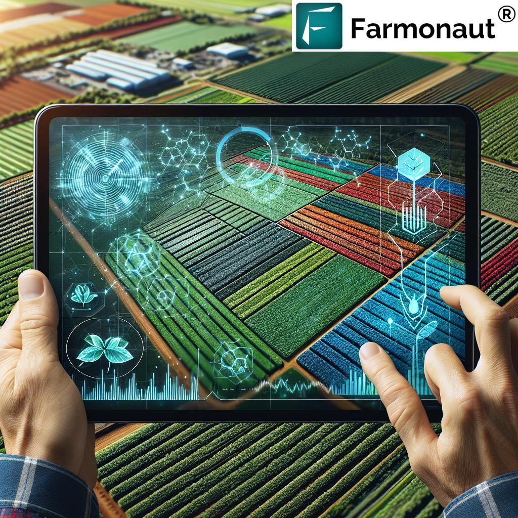
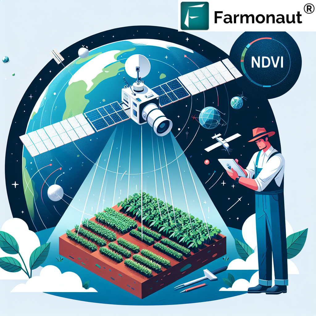
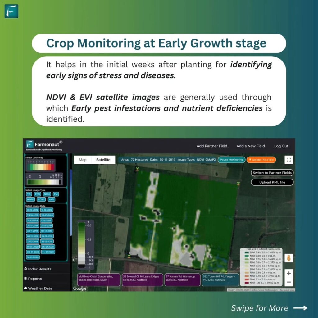
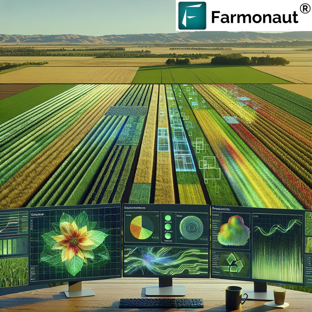
The concept of farmside satellite monitoring has transformed how we approach crop management. This technology allows farmers to observe their fields from space, providing a comprehensive view of crop health, soil conditions, and potential issues. Here’s what makes farmside satellite monitoring so powerful:
- Wide-area coverage: Satellites can monitor vast agricultural areas quickly and efficiently.
- Regular updates: Frequent satellite passes ensure up-to-date information on crop conditions.
- Multispectral imaging: Advanced sensors capture data across various light spectrums, revealing insights invisible to the naked eye.
- Historical data analysis: Compare current crop conditions with historical data to identify trends and anomalies.
At Farmonaut, we’ve integrated farmside satellite monitoring into our platform, providing farmers with actionable insights to optimize their crop management strategies.
Rapid Eye Satellite: High-Resolution Imagery for Precision Farming
The Rapid Eye satellite system represents a significant leap forward in agricultural remote sensing. This constellation of satellites offers high-resolution, multispectral imagery that is particularly useful for precision farming applications. Here’s why Rapid Eye satellite data is so valuable:
- High spatial resolution: Imagery with a resolution of 5 meters per pixel allows for detailed crop analysis.
- Frequent revisit times: The satellite constellation can capture images of the same area every 5.5 days on average.
- Red edge band: A unique spectral band that is particularly sensitive to changes in chlorophyll content, aiding in early stress detection.
- Large area coverage: Each image covers an area of 77 km x 77 km, ideal for monitoring large agricultural regions.
By incorporating Rapid Eye satellite data into our platform, we provide farmers with highly detailed and timely information about their crops, enabling more precise and efficient farm management.
Innovative Tools for Modern Farmers
As we continue to push the boundaries of agricultural technology, we’ve developed a suite of tools designed to make satellite data more accessible and actionable for farmers. Two key innovations in this area are our satellite identification app and our satellite problem-solving approach.
Satellite Identification App: Putting Space Technology in Farmers’ Hands
Our satellite identification app is a groundbreaking tool that brings the power of satellite technology directly to farmers’ smartphones. This app allows users to:
- Identify and track satellites passing overhead in real-time.
- Access information about various agricultural satellites and their capabilities.
- Receive notifications when relevant satellites are capturing data over their farms.
- Understand the types of data being collected and how it can be used for farm management.
This app not only educates farmers about the technology working for them but also helps them time their field activities to coincide with satellite passes for optimal data collection. You can download our app for Android or iOS.
Satellite Problem Solving: Addressing Agricultural Challenges from Space
Satellite problem-solving is our approach to tackling complex agricultural issues using satellite technology. This methodology involves:
- Identifying specific agricultural problems that can be addressed using satellite data.
- Developing custom algorithms to analyze satellite imagery for these specific issues.
- Creating user-friendly interfaces that translate complex satellite data into actionable insights.
- Continuously refining our solutions based on farmer feedback and new technological advancements.
By focusing on satellite problem-solving, we can address a wide range of agricultural challenges, from pest infestations to water stress, with unprecedented accuracy and efficiency.
Farmonaut: Leading the Satellite-Driven Agricultural Revolution
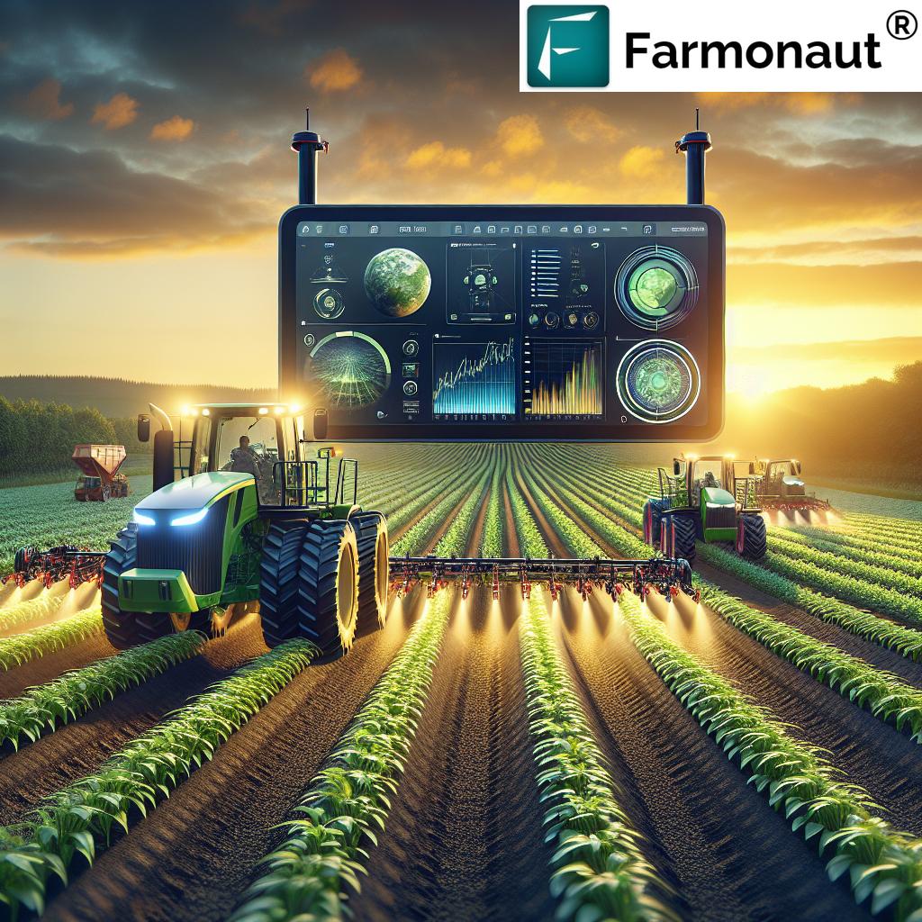
At Farmonaut, we’re not just using existing satellite technology; we’re pioneering new ways to apply it to agriculture. Our comprehensive platform integrates various satellite data sources and advanced analytics to provide farmers with a powerful suite of tools for farm management.
Key Features of Farmonaut’s Satellite-Based Farm Management System
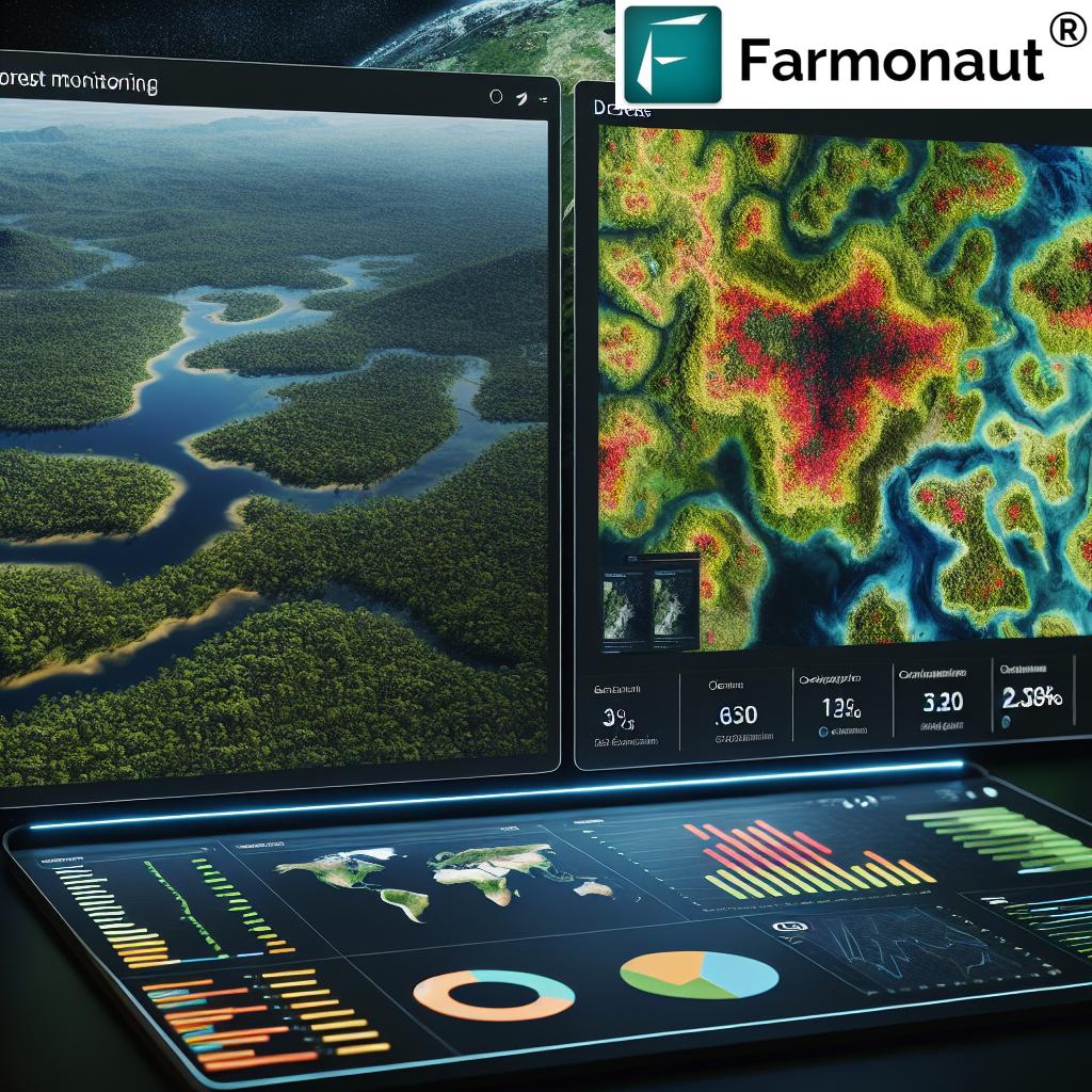
- Real-time crop health monitoring using multispectral satellite imagery
- AI-powered advisory system (Jeevn AI) for personalized farm management recommendations
- Blockchain-based product traceability for enhanced supply chain transparency
- Fleet and resource management tools for optimized farm operations
- Carbon footprint tracking to support sustainable farming practices
Our system is designed to be accessible and affordable, making precision agriculture available to farmers of all scales. By leveraging the power of satellite technology, we’re helping farmers increase productivity, reduce costs, and farm more sustainably.
Farmonaut vs. Traditional Farm Monitoring Methods
To illustrate the advantages of our satellite-based system, let’s compare it to traditional farm monitoring methods like drones and IoT sensors:
| Feature | Farmonaut Satellite System | Drone-based Monitoring | IoT-based Monitoring |
|---|---|---|---|
| Coverage Area | Vast (Global) | Limited (Local) | Very Limited (Point-based) |
| Frequency of Updates | Regular (Every few days) | As needed (Manual flights) | Continuous |
| Initial Setup Cost | Low | High | Medium to High |
| Operational Complexity | Low (Cloud-based) | High (Requires skilled operator) | Medium (Requires maintenance) |
| Data Analysis | Advanced (AI-powered) | Moderate | Basic to Moderate |
| Scalability | Highly Scalable | Limited Scalability | Moderately Scalable |
| Weather Independence | High | Low | Moderate |
As you can see, our satellite-based system offers numerous advantages in terms of coverage, cost-effectiveness, and scalability.
Integrating Satellite Technology into Your Farming Practice
Adopting satellite technology for farm management may seem daunting, but we’ve designed our platform to be user-friendly and accessible. Here’s how you can get started with Farmonaut:
- Sign up for a Farmonaut account on our website or mobile app.
- Define your farm boundaries using our intuitive mapping tool.
- Choose the satellite monitoring services that best fit your needs.
- Start receiving regular updates and insights about your farm.
- Use our AI-powered recommendations to optimize your farming practices.
For those interested in integrating our satellite data into their own systems, we offer a robust API. You can find more information in our API documentation.
The Future of Satellite Technology in Agriculture
As we look to the future, we see satellite technology playing an even more significant role in agriculture. Some exciting developments on the horizon include:
- Hyperspectral imaging for even more detailed crop analysis
- Integration of satellite data with AI and machine learning for predictive analytics
- Improved resolution and more frequent revisit times from new satellite constellations
- Enhanced integration with other technologies like IoT and robotics
At Farmonaut, we’re committed to staying at the forefront of these developments, continuously improving our platform to provide farmers with the most advanced and effective tools possible.
Join the Satellite-Driven Agricultural Revolution
The future of farming is here, and it’s powered by satellite technology. By embracing these advanced tools, farmers can increase productivity, reduce costs, and farm more sustainably. We invite you to join us in this revolution and experience the benefits of satellite-driven agriculture firsthand.
Ready to take your farming to the next level? Sign up for Farmonaut today and start harnessing the power of satellite technology for your farm.
Frequently Asked Questions (FAQ)
Q: How accurate is satellite imagery for crop monitoring?
A: Satellite imagery can be highly accurate for crop monitoring, with resolution as fine as 3-5 meters per pixel. This level of detail allows for precise monitoring of crop health, growth patterns, and potential issues.
Q: How often is satellite data updated?
A: The frequency of satellite data updates depends on the specific satellite or constellation being used. Some satellites can provide updates every 1-5 days, while others may have longer revisit times. At Farmonaut, we strive to provide the most frequent updates possible for our users.
Q: Can satellite monitoring replace on-ground inspections?
A: While satellite monitoring provides valuable insights, it’s best used in conjunction with on-ground inspections rather than as a complete replacement. Satellite data can help focus and optimize on-ground activities, making them more efficient and effective.
Q: Is satellite-based farm management suitable for small farms?
A: Absolutely! Our platform is designed to be scalable and affordable, making it accessible to farms of all sizes. Small farmers can benefit greatly from the insights provided by satellite monitoring, helping them optimize their limited resources.
Q: How does weather affect satellite imagery?
A: Cloud cover can impact optical satellite imagery. However, we use multiple data sources and advanced algorithms to minimize the impact of weather on our insights. Some satellites, like those using radar technology, can even penetrate cloud cover.
Q: Can satellite monitoring help with pest and disease detection?
A: Yes, satellite monitoring can help detect early signs of pest infestations or disease outbreaks by identifying changes in crop health and growth patterns. Our AI-powered system can alert farmers to potential issues before they become visible to the naked eye.
Q: How does Farmonaut ensure data privacy and security?
A: We take data privacy and security very seriously. All farm data is encrypted and stored securely. We adhere to strict data protection regulations and never share individual farm data without explicit permission.
Q: Can I integrate Farmonaut’s satellite data with my existing farm management software?
A: Yes, we offer an API that allows for integration with other farm management systems. Our API documentation provides details on how to incorporate our satellite data into your existing workflows.
Q: How does satellite monitoring contribute to sustainable farming?
A: Satellite monitoring helps farmers optimize resource use, reducing unnecessary application of water, fertilizers, and pesticides. This not only reduces costs but also minimizes environmental impact. Additionally, our carbon footprint tracking feature helps farmers monitor and reduce their greenhouse gas emissions.
Q: What support does Farmonaut offer to help farmers interpret satellite data?
A: We provide comprehensive support to help farmers make the most of our platform. This includes our AI-powered advisory system, detailed documentation, video tutorials, and responsive customer support. We’re committed to ensuring that farmers can easily understand and act on the insights provided by our satellite monitoring system.
Have more questions? Don’t hesitate to reach out to our support team. We’re here to help you harness the full power of satellite technology for your farm!
Ready to revolutionize your farming practices with satellite technology? Sign up for Farmonaut today and join the future of agriculture!


