Revolutionizing Crop Damage Assessment: How Farmonaut’s Remote Sensing Technology Empowers Farmers to Mitigate Weather Risks
“Satellite-based crop monitoring can detect plant stress up to 2 weeks earlier than visual inspection, enabling timely interventions.”
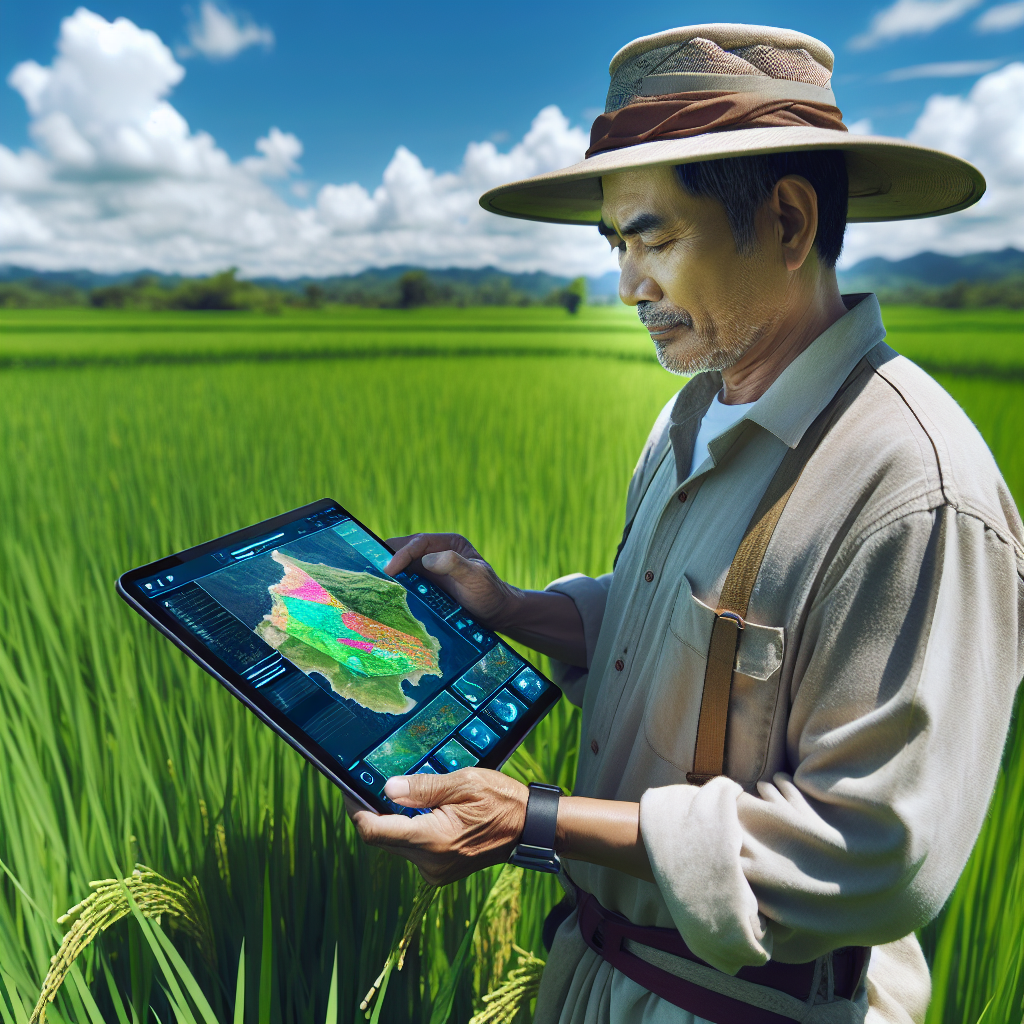
In today’s rapidly evolving agricultural landscape, farmers face unprecedented challenges from unpredictable weather patterns and environmental factors. As stewards of our global food supply, we must embrace innovative technologies to safeguard crops and optimize yields. At the forefront of this agricultural revolution stands Farmonaut, a pioneering company leveraging cutting-edge remote sensing technology to transform crop damage assessment and empower farmers in their fight against weather-related risks.
In this comprehensive guide, we’ll explore how Farmonaut’s advanced satellite-based solutions are revolutionizing farm management, providing real-time insights, and enabling precise evaluation of hail, wind, and flood damage to crops. We’ll delve into the power of vegetation indices, geospatial analytics, and historical weather data to equip farmers with the tools they need for effective crop damage prevention and yield optimization.
The Evolution of Crop Damage Assessment
Traditional methods of crop damage assessment have long relied on time-consuming, labor-intensive field inspections. While these approaches have served farmers for generations, they often fall short in today’s fast-paced, data-driven agricultural environment. Let’s compare traditional methods with the innovative remote sensing technology offered by Farmonaut:
| Aspect | Traditional Methods | Remote Sensing Technology (Farmonaut) |
|---|---|---|
| Time Efficiency | Time-consuming, manual field inspections | Rapid, large-scale assessment within hours |
| Accuracy | Subjective, prone to human error | Objective, data-driven analysis with high precision |
| Coverage Area | Limited to accessible areas | Comprehensive coverage of entire fields, including remote locations |
| Cost-Effectiveness | Labor-intensive, potentially expensive for large areas | Scalable and cost-efficient, regardless of field size |
| Real-Time Monitoring | Periodic assessments with potential delays | Continuous monitoring with near real-time updates |
| Data Integration | Manual record-keeping, challenging to integrate | Seamless integration with other farm management systems |
| Weather Risk Mitigation | Reactive approach based on visible damage | Proactive risk assessment and early warning systems |
| Yield Prediction | Based on historical data and visual estimates | Advanced analytics combining multiple data sources for accurate forecasting |
As we can see, Farmonaut’s remote sensing technology offers significant advantages over traditional methods, enabling farmers to make more informed decisions and respond swiftly to potential threats to their crops.
Harnessing the Power of Satellite Imagery for Farm Management
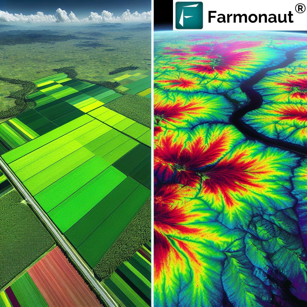
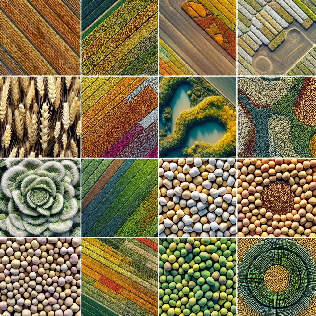
At the heart of Farmonaut’s innovative approach lies its advanced satellite imagery technology. By leveraging multispectral satellite data, we provide farmers with unprecedented insights into their fields, enabling them to monitor crop health, detect early signs of stress, and assess damage with remarkable precision.
- High-Resolution Imagery: Our satellite imagery offers detailed views of agricultural areas, allowing farmers to identify issues at the plant level.
- Multispectral Analysis: By capturing data across various spectral bands, we can reveal information invisible to the naked eye, such as plant stress and soil moisture levels.
- Frequent Updates: Regular satellite passes ensure that farmers have access to the most up-to-date information about their fields.
This powerful combination of technologies enables precise crop damage assessment, helping farmers quickly identify areas affected by adverse weather events and take appropriate action.
Vegetation Indices: The Key to Understanding Crop Health
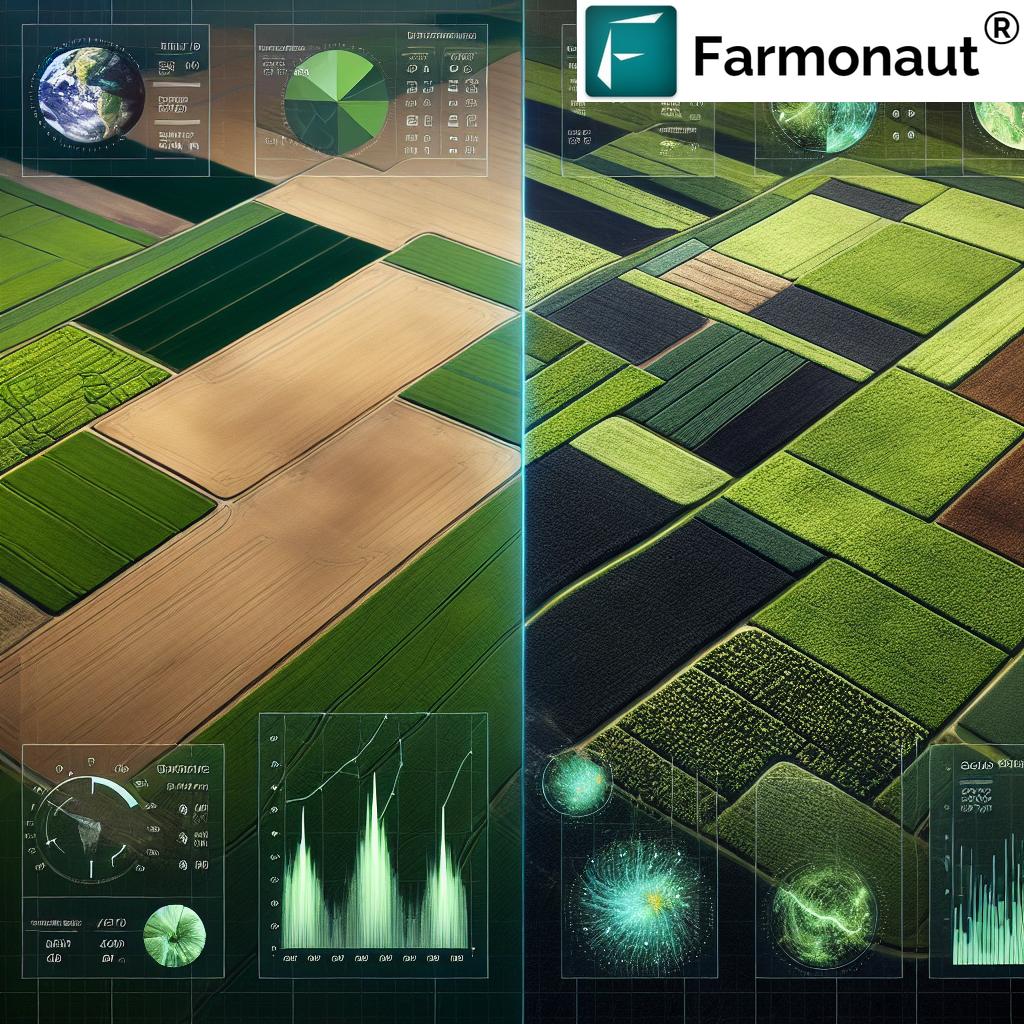
One of the most powerful tools in our arsenal for crop damage assessment is the use of vegetation indices. These mathematical calculations derived from satellite imagery provide valuable insights into plant health, vigor, and potential stress factors. Some of the key indices we utilize include:
- Normalized Difference Vegetation Index (NDVI): This widely-used index helps assess overall plant health and biomass.
- Modified Soil-Adjusted Vegetation Index (MSAVI): Particularly useful for areas with sparse vegetation or exposed soil.
- Leaf Area Index (LAI): Estimates the total leaf area per unit of ground area, providing insights into crop density and potential yield.
By analyzing these indices over time, we can detect subtle changes in crop health, identify areas of potential damage, and guide farmers in making data-driven decisions to mitigate risks and optimize yields.
Mitigating Weather Risks: From Hail to Heat Stress
Weather-related risks pose significant challenges to agricultural production. Farmonaut’s remote sensing technology empowers farmers to better understand, prepare for, and respond to these threats. Let’s explore how our solutions address some of the most common weather-related risks:
Hail Damage Assessment
Hailstorms can devastate crops in a matter of minutes, causing significant economic losses. Our satellite-based monitoring system allows for rapid assessment of hail damage, enabling farmers to:
- Quickly identify affected areas within their fields
- Assess the severity of damage through vegetation index analysis
- Make informed decisions about replanting or adjusting management practices
- Provide accurate documentation for insurance claims
Wind Damage Prevention and Evaluation
Strong winds can cause lodging, stalk breakage, and other forms of crop damage. Farmonaut’s technology helps farmers:
- Monitor wind patterns and identify high-risk areas within their fields
- Implement targeted wind barriers or select wind-resistant crop varieties
- Assess the extent of wind damage after severe weather events
- Optimize harvest timing to minimize further losses
Flood Impact Analysis
Flooding can lead to crop losses through waterlogging, soil erosion, and nutrient leaching. Our remote sensing tools enable farmers to:
- Identify areas prone to flooding or poor drainage
- Monitor soil moisture levels and detect waterlogged conditions
- Assess flood damage extent and severity
- Plan drainage improvements and implement targeted recovery strategies
Frost Protection Strategies
Frost events can cause significant damage to sensitive crops. Farmonaut’s technology supports frost protection efforts by:
- Providing accurate temperature forecasts and frost warnings
- Identifying cold air drainage patterns and frost-prone areas within fields
- Monitoring crop temperatures during frost events
- Assessing frost damage and guiding recovery efforts
Heat Stress Management
As global temperatures rise, heat stress is becoming an increasingly significant threat to crop production. Our remote sensing solutions help farmers:
- Identify areas within fields that are most susceptible to heat stress
- Monitor crop canopy temperatures and detect early signs of heat stress
- Guide irrigation decisions to mitigate heat-related damage
- Assess the impact of heat waves on crop health and yield potential
“Farmonaut’s remote sensing technology can assess crop damage from hail, wind, and floods with up to 95% accuracy.”
By leveraging Farmonaut’s advanced remote sensing technology, farmers can proactively address these weather-related risks, minimizing crop losses and ensuring more stable yields in the face of environmental challenges.
Integrating Historical Weather Data for Informed Decision-Making
At Farmonaut, we understand that effective crop damage assessment and risk mitigation require more than just real-time monitoring. By integrating historical weather data into our analysis, we provide farmers with a comprehensive understanding of their fields’ environmental context. This approach offers several key benefits:
- Trend Analysis: Identifying long-term weather patterns and their impact on crop performance
- Risk Assessment: Evaluating the likelihood of specific weather events based on historical data
- Crop Selection: Guiding farmers in choosing crop varieties best suited to their local climate conditions
- Management Planning: Optimizing planting dates, irrigation schedules, and other management practices based on historical trends
By combining historical weather data with our real-time monitoring capabilities, we empower farmers to make more informed decisions and develop robust strategies for mitigating weather-related risks.
The Role of Artificial Intelligence in Crop Damage Assessment
Artificial Intelligence (AI) and Machine Learning (ML) play a crucial role in enhancing the accuracy and efficiency of crop damage assessment. Farmonaut’s AI-powered solutions offer several advantages:
- Automated Damage Detection: AI algorithms can quickly analyze satellite imagery to identify areas of potential crop damage
- Pattern Recognition: ML models can detect subtle patterns in vegetation indices that may indicate early signs of stress or damage
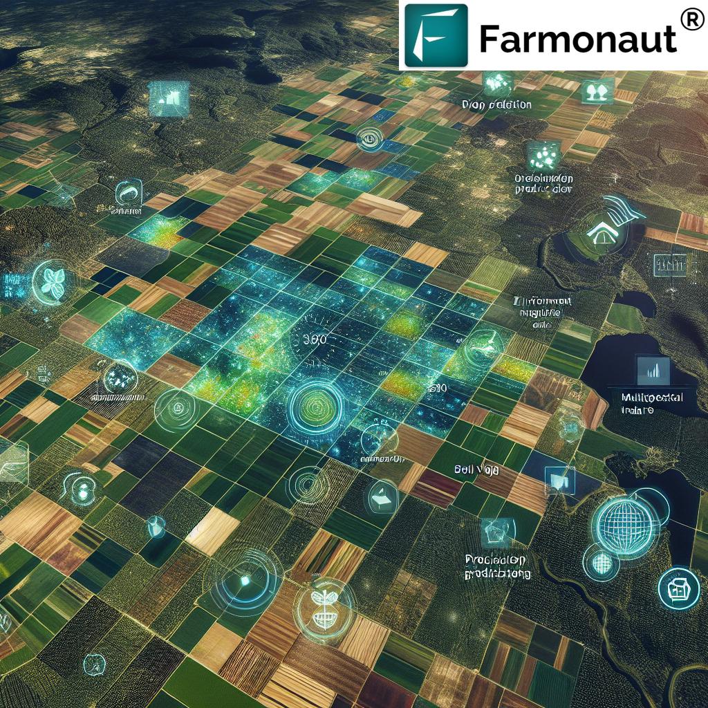
- Predictive Analytics: AI-driven forecasting models help farmers anticipate potential risks and take preventive measures
- Continuous Learning: Our AI systems constantly improve their accuracy by learning from new data and farmer feedback
By harnessing the power of AI, we’re able to provide farmers with more accurate, timely, and actionable insights for crop damage assessment and risk mitigation.
Precision Agriculture: Optimizing Inputs and Maximizing Yields
Farmonaut’s remote sensing technology not only aids in crop damage assessment but also supports precision agriculture practices. By providing detailed insights into field variability, we enable farmers to optimize their inputs and maximize yields. Key applications include:
- Variable Rate Application: Tailoring fertilizer, pesticide, and irrigation applications based on specific field conditions
- Zone Management: Identifying management zones within fields for targeted interventions
- Yield Mapping: Creating high-resolution yield maps to guide future management decisions
- Soil Health Monitoring: Assessing soil moisture, organic matter content, and other key parameters
By integrating crop damage assessment with precision agriculture techniques, farmers can not only mitigate risks but also optimize their overall production systems for improved efficiency and profitability.
Integrating On-Ground Scouting with Satellite-Based Monitoring
While satellite-based monitoring provides invaluable insights, we recognize the importance of integrating this technology with traditional on-ground scouting methods. Farmonaut’s approach combines the best of both worlds:
- Targeted Scouting: Using satellite data to guide field inspections to areas of potential concern
- Ground Truthing: Verifying satellite-based assessments with on-site observations
- Data Fusion: Combining satellite imagery with ground-level data for more comprehensive analysis
- Continuous Improvement: Refining our algorithms based on feedback from on-ground observations
This integrated approach ensures that farmers benefit from the efficiency of satellite-based monitoring while maintaining the valuable insights gained from direct field observations.
The Future of Crop Damage Assessment and Risk Mitigation
As technology continues to advance, the future of crop damage assessment and risk mitigation looks promising. Some emerging trends and technologies that we’re exploring at Farmonaut include:
- Hyperspectral Imaging: Providing even more detailed insights into crop health and stress factors
- Internet of Things (IoT) Integration: Combining satellite data with ground-based sensors for more comprehensive monitoring
- Advanced Weather Modeling: Improving the accuracy of weather forecasts and risk predictions
- Blockchain for Traceability: Enhancing transparency and trust in crop damage assessments and insurance claims
By staying at the forefront of these technological advancements, we’re committed to continuously improving our services and empowering farmers to face the challenges of modern agriculture.
Empowering Farmers with Farmonaut’s Solutions
At Farmonaut, we’re dedicated to making our advanced crop monitoring and damage assessment tools accessible to farmers of all scales. Our suite of solutions includes:
- Mobile Apps: Access real-time field insights on-the-go with our user-friendly mobile applications
- Web Platform: Conduct in-depth analysis and management planning through our comprehensive web interface
- API Integration: Seamlessly incorporate our data and insights into existing farm management systems
- Custom Advisory Services: Receive personalized recommendations based on your specific crop and field conditions
To get started with Farmonaut’s innovative solutions, explore our range of options:
For developers interested in integrating our powerful satellite and weather data into their own applications, check out our API and API Developer Docs.
Conclusion: Embracing Innovation for Sustainable Agriculture
As we face the challenges of climate change and increasing global food demand, innovative approaches to crop damage assessment and risk mitigation are more crucial than ever. Farmonaut’s remote sensing technology represents a significant leap forward in empowering farmers to protect their crops, optimize yields, and ensure food security for future generations.
By embracing these advanced tools and techniques, farmers can:
- Respond quickly and effectively to weather-related threats
- Make data-driven decisions for improved farm management
- Reduce input costs while maximizing productivity
- Contribute to more sustainable and resilient agricultural practices
As we continue to innovate and refine our technologies, we remain committed to our mission of making precision agriculture accessible and affordable for farmers worldwide. Together, we can build a more resilient and productive agricultural future.
Frequently Asked Questions (FAQ)
- How accurate is Farmonaut’s crop damage assessment technology?
Our remote sensing technology can assess crop damage from various weather events with up to 95% accuracy, thanks to high-resolution satellite imagery and advanced AI algorithms. - Can Farmonaut’s solutions be used for all types of crops?
Yes, our technology is adaptable to a wide range of crops, from grains and oilseeds to fruits and vegetables. We continuously refine our algorithms to accommodate different crop types and growth stages. - How often is satellite imagery updated?
The frequency of updates depends on the specific service package, but we typically provide imagery updates every 3-5 days, with options for more frequent monitoring in critical periods. - Is an internet connection required to use Farmonaut’s mobile app?
While an internet connection is needed to receive the latest updates, our mobile app also offers offline functionality for viewing previously downloaded data in the field. - How does Farmonaut’s technology integrate with other farm management tools?
We offer API integration options that allow our data and insights to be seamlessly incorporated into existing farm management systems, ensuring a cohesive approach to agricultural decision-making.


