Revolutionizing California Agriculture: Farmonaut’s Precision Drone Mapping and Crop Analytics Platform
“Farmonaut’s platform integrates data from over 10,000 satellite images daily for precision agriculture insights.”
In the heart of California’s agricultural landscape, a revolutionary transformation is taking place. As the Golden State’s $50 billion agricultural sector embraces cutting-edge technology, Farmonaut stands at the forefront of this exciting change. Our precision agriculture technology is reshaping the way farmers manage their crops, optimize resources, and make data-driven decisions. In this comprehensive guide, we’ll explore how our innovative platform is revolutionizing California agriculture through advanced drone mapping for crops, satellite imagery in farming, and sophisticated crop analytics.

The Rise of Precision Agriculture in California
California’s diverse agricultural landscape, spanning from the fertile Central Valley to the coastal regions, has long been a cornerstone of the state’s economy. However, challenges such as water scarcity, climate change, and the need for sustainable farming practices have pushed the industry to seek innovative solutions. This is where precision agriculture technology comes into play, and Farmonaut is leading the charge.
Our platform combines the power of drone mapping for crops, satellite imagery in farming, and advanced crop performance analytics to provide unparalleled insights for farm management. By leveraging these technologies, we’re enabling California farmers to:
- Optimize water usage through precise irrigation scheduling
- Reduce pesticide and fertilizer application by targeting specific areas
- Improve crop yields through early detection of stress and disease
- Enhance overall farm efficiency and sustainability
Farmonaut’s Innovative Approach to Agricultural Data Services
At Farmonaut, we’ve developed a comprehensive agricultural data services platform that integrates multiple technologies to provide a holistic view of farm performance. Our approach includes:
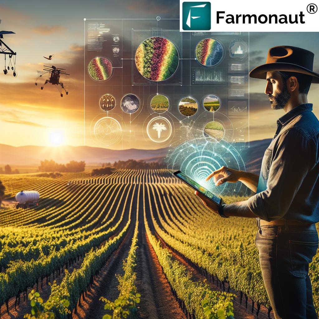
- Drone Mapping for Crops: High-resolution aerial imagery captures detailed information about crop health, growth patterns, and potential issues.
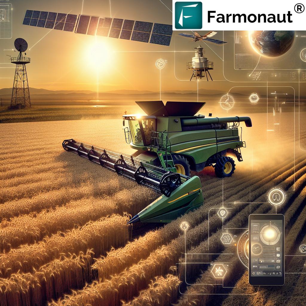
- Satellite Imagery in Farming: Regular satellite scans provide broad coverage and historical data for long-term analysis and trend identification.
- Machine Learning in Agriculture: Our advanced algorithms process vast amounts of data to deliver actionable insights and predictions.
- Crop Performance Analytics: Detailed reports and visualizations help farmers understand their crops’ performance and make informed decisions.
By combining these elements, we offer a powerful farm management platform that addresses the unique challenges faced by California’s agricultural sector.
The Power of Drone Mapping for Crops
Drone technology has revolutionized the way we monitor and manage crops. Our precision drone mapping services offer several key advantages:
- High-Resolution Imagery: Drones capture detailed images that reveal subtle variations in crop health and soil conditions.
- Frequent Monitoring: Regular flights allow for timely detection of issues such as pest infestations or nutrient deficiencies.
- Flexible Deployment: Drones can be quickly deployed to assess specific areas of concern or capture data during critical growth stages.
- 3D Mapping: Advanced sensors create three-dimensional models of the terrain, aiding in drainage planning and erosion control.
Our drone mapping services are conducted by certified pilots who adhere to all FAA regulations and local guidelines. This ensures that our flights are safe, legal, and respectful of privacy concerns.
Harnessing the Power of Satellite Imagery in Farming
While drone mapping provides detailed, on-demand insights, satellite imagery offers a broader perspective and historical context. Our platform leverages satellite data to:
- Monitor large-scale crop patterns across entire regions
- Track changes in vegetation health over time using normalized difference vegetation index (NDVI) analysis
- Assess soil moisture levels and identify areas prone to water stress
- Provide early warnings for potential crop failures or yield reductions
By integrating satellite imagery into our farm management platform, we enable California farmers to make data-driven decisions that optimize resource allocation and improve overall farm productivity.

Advanced Crop Performance Analytics
At the heart of Farmonaut’s platform lies our sophisticated crop performance analytics engine. This powerful tool combines data from multiple sources, including drones, satellites, weather stations, and on-ground sensors, to provide comprehensive insights into crop health and productivity.
Our crop performance analytics offer:
- Yield Prediction: Advanced modeling techniques forecast potential yields based on current conditions and historical data.
- Stress Detection: Early identification of water stress, nutrient deficiencies, or pest pressure allows for timely interventions.
- Growth Stage Monitoring: Track crop development against expected timelines to optimize management practices.
- Resource Optimization: Recommendations for efficient use of water, fertilizers, and other inputs based on real-time crop needs.
By leveraging machine learning in agriculture, our analytics platform continuously improves its accuracy and predictive capabilities, providing ever more valuable insights to California farmers.
Enhancing Crop Insurance Technology
One of the most exciting applications of our platform is in the field of crop insurance technology. By providing accurate, real-time data on crop health and potential risks, we’re helping to revolutionize the agricultural insurance industry. Our services benefit both farmers and insurance providers by:
- Enabling more accurate risk assessments based on historical and current crop data
- Facilitating faster claims processing through remote damage assessment
- Reducing fraudulent claims through verifiable satellite and drone imagery
- Allowing for the development of more tailored insurance products
This integration of precision agriculture technology with crop insurance is creating a more robust and responsive safety net for California’s farmers, helping to protect their livelihoods in the face of increasingly unpredictable weather patterns and market conditions.
User Accounts and Data Ownership
At Farmonaut, we understand the importance of data security and ownership in the digital age. Our platform is designed with user privacy and control in mind. When you create an account with us, you gain access to a powerful suite of tools while maintaining full ownership of your farm data.
Key features of our user account system include:
- Secure Login: Multi-factor authentication ensures that only authorized users can access your account.
- Data Control: You have the ability to view, download, and delete your data at any time.
- Customizable Sharing: Choose which data to share with advisors, insurers, or other stakeholders.
- API Access: For advanced users, we offer API access to integrate our data with your existing farm management systems.
We believe that empowering farmers with control over their data is essential for building trust and fostering innovation in the agricultural sector.
“California’s agricultural sector, worth $50 billion annually, is being transformed by Farmonaut’s crop analytics technology.”
Confidentiality and Data Security in Agritech
In the rapidly evolving world of agritech data solutions, maintaining the confidentiality and security of farm data is paramount. At Farmonaut, we take this responsibility seriously and have implemented robust measures to protect your information:
- Encryption: All data transmitted to and from our platform is encrypted using industry-standard protocols.
- Secure Storage: Your data is stored in secure, redundant data centers with multiple layers of physical and digital protection.
- Access Controls: Strict access controls ensure that only authorized personnel can view or manipulate data.
- Regular Audits: We conduct regular security audits and penetration testing to identify and address potential vulnerabilities.
Our commitment to data security extends beyond our own platform. We work closely with our partners and third-party service providers to ensure that they adhere to the same high standards of data protection.
Legal Considerations for Implementing Precision Agriculture Technology
As you consider implementing precision agriculture technologies on your farm, it’s important to be aware of the legal aspects surrounding these innovations. Here are some key points to consider:
- Drone Regulations: Ensure that any drone flights conducted on your property comply with FAA regulations and local laws.
- Data Privacy: Understand your rights and responsibilities regarding the collection and use of farm data, especially if it includes personally identifiable information.
- Intellectual Property: Be aware of any patents or proprietary technologies used in the precision agriculture tools you employ.
- Liability: Consider the potential liability issues associated with using autonomous or semi-autonomous systems on your farm.
We recommend consulting with legal professionals familiar with agricultural technology to ensure that your implementation of precision agriculture tools aligns with all relevant laws and regulations.
Comparing Traditional and Precision Agriculture Methods
To better understand the impact of Farmonaut’s precision agriculture platform, let’s compare traditional farming methods with our advanced approach:
| Aspects | Traditional Methods | Farmonaut’s Precision Agriculture |
|---|---|---|
| Crop Monitoring Frequency | Weekly or less | Daily satellite updates, on-demand drone flights |
| Data Accuracy | Low to Medium | High (sub-meter resolution) |
| Resource Efficiency | Low | High (up to 30% reduction in water and fertilizer use) |
| Yield Improvement | Baseline | 10-20% increase on average |
| Cost-Effectiveness | Variable | High (ROI typically exceeds 200%) |
| Environmental Impact | High | Low (reduced chemical use and improved sustainability) |
As the table illustrates, Farmonaut’s precision agriculture platform offers significant advantages over traditional farming methods across multiple key metrics.
Getting Started with Farmonaut
Ready to revolutionize your farming operations with Farmonaut’s precision agriculture platform? Here’s how you can get started:
- Create an Account: Sign up for a Farmonaut account to access our web and mobile applications.
- Define Your Farm: Use our intuitive mapping tools to outline your fields and crops.
- Choose Your Services: Select the combination of drone mapping, satellite imagery, and analytics that best fits your needs.
- Integrate Your Data: Connect existing farm management systems or import historical data to enhance our analytics.
- Receive Insights: Start receiving regular updates and actionable insights about your crops.
Our team is here to support you every step of the way, ensuring a smooth transition to precision agriculture practices.
Ready to transform your farming operations? Access our platform through these convenient options:
For developers interested in integrating our data into their own applications, we offer a robust API. Check out our API Developer Docs for detailed information on how to get started.
Farmonaut Subscription Options
Choose the perfect plan to revolutionize your farming practices:
Frequently Asked Questions
Q: How often is satellite imagery updated?
A: Our platform provides daily satellite updates, ensuring you always have the most current information about your crops.
Q: Is drone mapping available for all locations?
A: Drone mapping services are available in most areas, subject to local regulations and flight restrictions. Contact us to check availability for your specific location.
Q: How accurate are your yield predictions?
A: Our yield predictions typically achieve an accuracy of 85-95%, depending on crop type and available historical data.
Q: Can I integrate Farmonaut data with my existing farm management software?
A: Yes, our API allows for seamless integration with many popular farm management systems. Our team can assist you with the integration process.
Q: What support options are available?
A: We offer comprehensive support through our online knowledge base, email support, and phone consultations for premium subscribers.
Conclusion: Embracing the Future of California Agriculture
As we’ve explored throughout this guide, Farmonaut’s precision drone mapping and crop analytics platform is at the forefront of revolutionizing California agriculture. By harnessing the power of advanced technologies such as drone mapping for crops, satellite imagery in farming, and sophisticated crop performance analytics, we’re empowering farmers to make data-driven decisions that optimize yields, reduce costs, and promote sustainability.
The integration of these cutting-edge tools with traditional farming practices is creating a new paradigm in agriculture—one that is more efficient, productive, and environmentally friendly. As California continues to lead the way in agricultural innovation, Farmonaut is proud to be a key partner in this transformative journey.
We invite you to join us in shaping the future of farming. Whether you’re managing a small family farm or overseeing large-scale agricultural operations, our platform offers the insights and tools you need to thrive in an increasingly complex and challenging industry.
Ready to take the next step? Sign up for a Farmonaut account today and discover how our precision agriculture technology can revolutionize your farming operations. Together, we can build a more sustainable and prosperous future for California agriculture.


