Revolutionizing Agriculture in North East India: Farmonaut’s Offline Mapping Solution Boosts Farm Productivity 2X
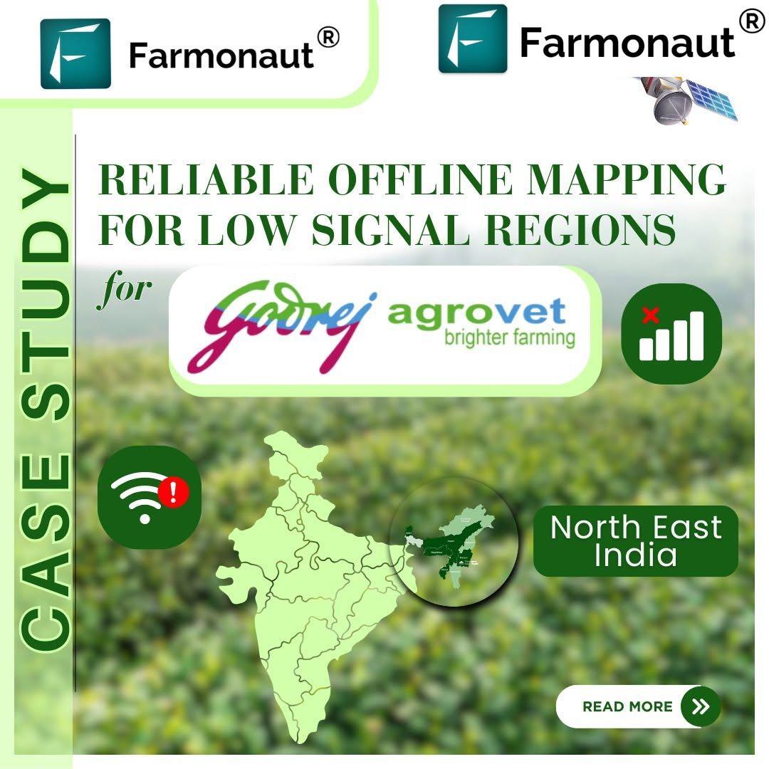
“Farmonaut’s offline mapping solution increased field monitoring speed by 200% in North East India’s remote agricultural regions.”
In the ever-evolving landscape of agriculture, connectivity challenges have long been a bottleneck for farmers and field agents in remote regions. At Farmonaut, we’re proud to share a groundbreaking success story that showcases how our innovative smart farming solutions are revolutionizing connectivity in these hard-to-reach agricultural areas. Our recent collaboration with Godrej Agrovet Limited in North East India has demonstrated the transformative power of offline mapping for agriculture, enabling seamless field monitoring even in areas with poor or non-existent internet connectivity.
The Challenge: Connectivity in Remote Agricultural Regions
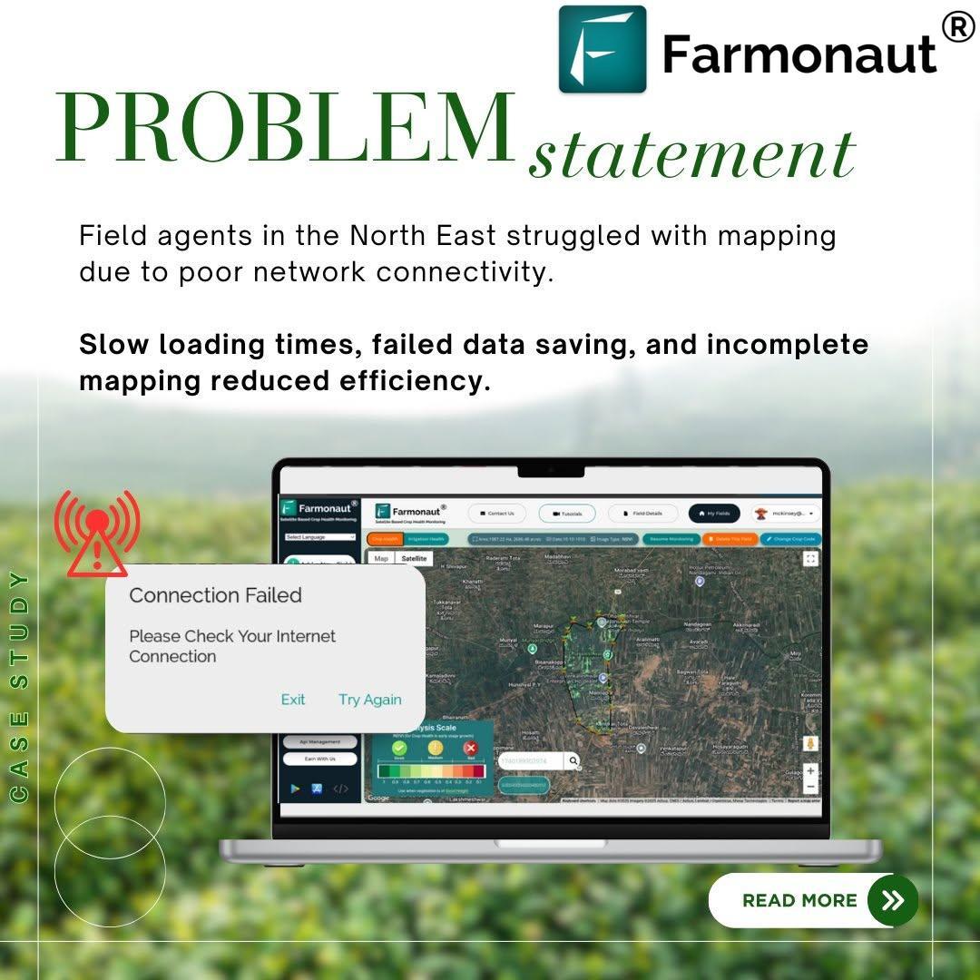
North East India, with its diverse topography and remote farmlands, presents unique challenges for agricultural monitoring and management. Field agents often face persistent connectivity issues that hamper their productivity, including:
- Slow loading of online mapping tools
- Failed data saves due to intermittent connectivity
- Incomplete mapping of farm areas
- Inaccurate data collection due to syncing problems
These obstacles not only slow down the monitoring process but also lead to inaccuracies in farm data management, ultimately affecting agricultural productivity and decision-making.
Farmonaut’s Innovative Approach: Offline Mapping Solution
Recognizing these challenges, we at Farmonaut developed a cutting-edge offline mapping solution that addresses the unique needs of farmers and field agents in connectivity-challenged areas. Our approach is designed to make the impossible possible, leveraging advanced precision agriculture technology to overcome connectivity barriers.
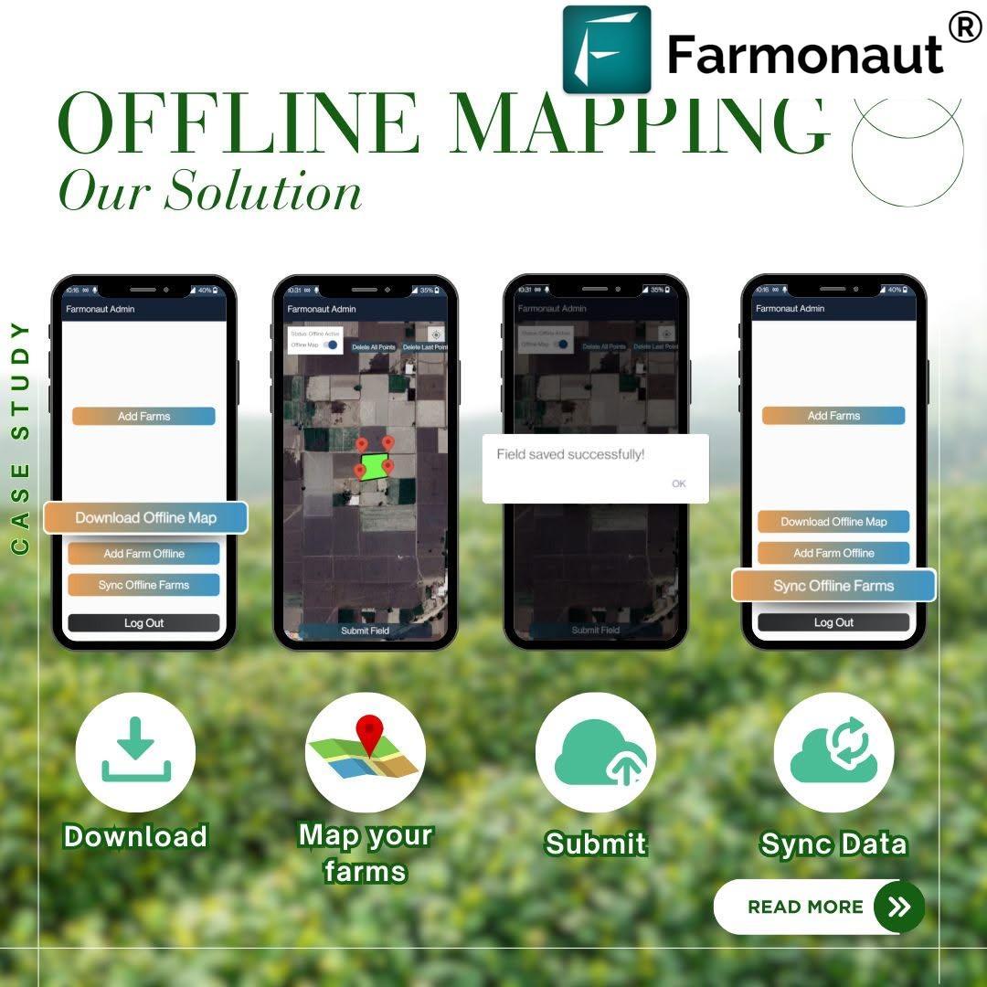
Here’s how our three-step approach works:
- Download maps in advance: Field agents can pre-load detailed satellite imagery and mapping data for their target areas before heading out to the field.
- Map farms without interruptions: Even in zero-signal areas, our solution allows agents to map farms, mark boundaries, and input crucial data without any connectivity issues.
- Submit and seamlessly sync data: Once connectivity is restored, all collected data is automatically synchronized with our central database, ensuring no information is lost.
This innovative approach not only solves the immediate problem of connectivity but also introduces a new level of efficiency and accuracy in farm mapping and monitoring.
The Impact: Boosting Productivity and Accuracy
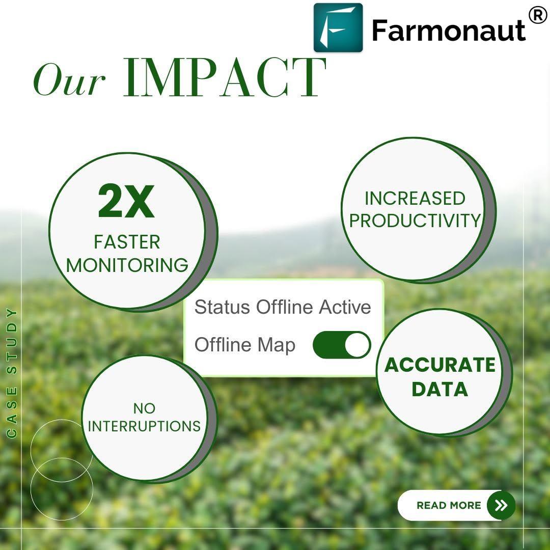
“Godrej Agrovet Limited achieved a 2X boost in farm productivity using Farmonaut’s precision agriculture technology in connectivity-challenged areas.”
The implementation of our offline mapping solution in North East India has yielded remarkable results. By addressing the core challenges of connectivity, we’ve enabled a significant leap in agricultural productivity and data accuracy. Our solution has not only doubled the monitoring speed but also significantly improved data accuracy and reduced connectivity-related issues. This translates to more efficient use of resources, better decision-making, and ultimately, improved crop yields and cost savings.

The Technology Behind Farmonaut’s Offline Mapping Solution
At the heart of our offline mapping solution lies a sophisticated blend of GIS mapping, remote sensing, and advanced data management techniques. Here’s a closer look at the technology powering our innovation:
- Advanced Satellite Imagery: We utilize high-resolution satellite imagery to create detailed, up-to-date maps of agricultural areas. These images are processed and optimized for offline use, ensuring that field agents have access to the most recent and accurate visual data.
- Robust Mobile Application: Our mobile app is designed to function seamlessly in offline mode, allowing users to access maps, input data, and perform complex mapping tasks without an internet connection. The app uses the device’s GPS for accurate location tracking and boundary mapping.
- Efficient Data Compression: To enable the storage of large amounts of mapping data on mobile devices, we employ advanced data compression techniques. This ensures that field agents can carry comprehensive mapping information for vast areas without overwhelming their devices’ storage capacity.
- Smart Syncing Algorithm: Once connectivity is restored, our smart syncing algorithm efficiently uploads the collected data to our central servers. It prioritizes critical information and manages potential conflicts, ensuring data integrity and minimizing bandwidth usage.
This technological foundation not only addresses the immediate needs of offline mapping but also paves the way for future advancements in precision agriculture and sustainable farming practices.
Enhancing Agricultural Productivity Through Innovation
The success of our offline mapping solution in North East India demonstrates the power of innovation in addressing real-world agricultural challenges. By enabling seamless field monitoring and data collection in areas previously hindered by poor connectivity, we’re opening up new possibilities for agricultural productivity and efficiency.
Some key benefits of our solution include:
- Improved Decision Making: With more accurate and comprehensive field data, farmers and agricultural businesses can make better-informed decisions about crop management, resource allocation, and yield optimization.
- Time and Resource Savings: The significant increase in monitoring speed and reduction in field visit time translates to substantial savings in both human and financial resources.
- Enhanced Crop Management: More frequent and accurate monitoring allows for early detection of crop health issues, enabling timely interventions and potentially increasing crop yields.
- Support for Sustainable Practices: By providing detailed insights into farm conditions, our solution supports the implementation of more sustainable and environmentally friendly farming practices.
For those interested in leveraging advanced satellite data for agricultural purposes, we offer a robust API that provides access to our comprehensive database of agricultural insights. Developers can integrate this data into their own applications, further expanding the reach and impact of precision agriculture technology.
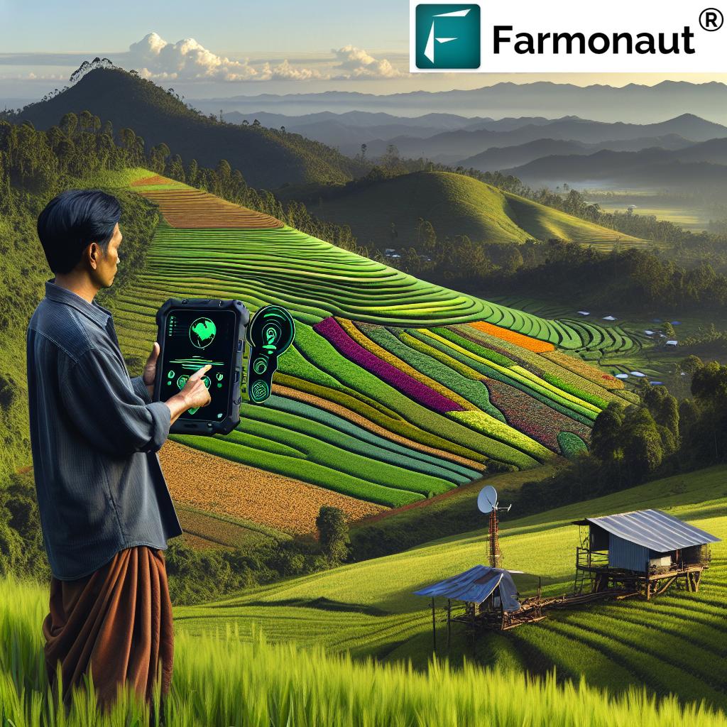
Expanding the Reach of Smart Farming
The success of our offline mapping solution in North East India is just the beginning. We believe that this technology has the potential to revolutionize agriculture in remote and connectivity-challenged regions worldwide. To make our solution accessible to a wider audience, we’ve developed user-friendly mobile applications for both Android and iOS platforms:
These apps bring the power of our offline mapping solution directly to farmers’ and field agents’ fingertips, enabling them to:
- Download and access detailed farm maps offline
- Perform accurate field boundary mapping without internet connectivity
- Input and store crucial farm data for later synchronization
- Access AI-driven insights for better crop management (when online)
For larger agricultural operations, our large-scale farm management solution offers comprehensive tools for overseeing vast farming areas, integrating our offline mapping capabilities with advanced analytics and reporting features.
Beyond Mapping: Integrated Agricultural Solutions
While our offline mapping solution addresses a critical need in remote agricultural regions, it’s just one part of our comprehensive suite of agricultural technology offerings. At Farmonaut, we’re committed to providing integrated solutions that cover various aspects of modern farming:
- Carbon Footprinting: Our advanced tools help agricultural businesses monitor and reduce their environmental impact, supporting sustainable farming practices and compliance with environmental regulations.
- Traceability: We offer blockchain-based solutions that ensure transparency and authenticity throughout the agricultural supply chain, from farm to consumer.
- Crop Loan and Insurance: Our satellite-based verification system streamlines the process of crop loan approvals and insurance claims, making financial services more accessible to farmers.
- Fleet Management: For large agricultural operations, our fleet management tools optimize vehicle usage and improve overall logistics efficiency.
These integrated solutions work in harmony with our offline mapping technology, creating a comprehensive ecosystem that addresses the multifaceted challenges of modern agriculture.
The Future of Agriculture: Data-Driven and Connectivity-Independent
As we look to the future, we envision a world where agriculture is increasingly data-driven, efficient, and sustainable – even in the most remote corners of the globe. Our offline mapping solution is a significant step towards this vision, breaking down the barriers of connectivity and bringing advanced agricultural technology to areas that need it most.
The success we’ve seen in North East India is just the beginning. We’re continuously working to enhance our technology, expand our reach, and develop new solutions that address the evolving challenges of global agriculture. Some areas we’re focusing on include:
- Integration of AI and machine learning for even more accurate crop health predictions and recommendations
- Enhanced offline capabilities, including AI-powered insights that can be accessed without internet connectivity
- Expansion of our satellite imagery database to cover more regions and crop types
- Development of new tools to support climate-smart agriculture and adaptation to changing environmental conditions
We believe that by continuing to innovate and adapt our technology to real-world constraints, we can play a crucial role in ensuring global food security, supporting sustainable farming practices, and empowering farmers worldwide.
Join the Agricultural Revolution with Farmonaut
Are you ready to transform your agricultural operations with cutting-edge technology? Whether you’re a small-scale farmer, a large agribusiness, or somewhere in between, Farmonaut has solutions tailored to your needs. Our offline mapping technology, combined with our comprehensive suite of agricultural tools, can help you boost productivity, reduce costs, and farm more sustainably.
To get started with Farmonaut, visit our web application or download our mobile app:
For developers interested in integrating our powerful satellite and weather data into their own applications, check out our API Developer Docs.
Earn with Farmonaut
Earn 20% recurring commission with Farmonaut’s affiliate program by sharing your promo code and helping farmers save 10%. Onboard 10 Elite farmers monthly to earn a minimum of $148,000 annually—start now and grow your income!
Learn more about our Affiliate Program and how you can be part of the agricultural revolution while earning a significant income.
Farmonaut Subscriptions
Frequently Asked Questions
Q: How does Farmonaut’s offline mapping solution work?
A: Our solution allows users to download detailed maps and satellite imagery in advance. They can then perform mapping and data collection tasks in the field without internet connectivity. Once back in a connected area, the data automatically syncs with our central database.
Q: Can Farmonaut’s solution be used for all types of crops?
A: Yes, our solution is designed to work with a wide variety of crops. The satellite imagery and mapping tools are adaptable to different agricultural landscapes and crop types.
Q: Is special equipment needed to use Farmonaut’s offline mapping solution?
A: No special equipment is required. Our solution works on standard smartphones and tablets, making it accessible to a wide range of users.
Q: How does Farmonaut ensure data security?
A: We employ robust encryption methods to protect all data, both on the device and during synchronization. Our systems are designed with multiple layers of security to ensure the confidentiality and integrity of your agricultural data.
Q: Can Farmonaut’s solution integrate with other farm management software?
A: Yes, we offer API integration capabilities, allowing our solution to work seamlessly with other farm management tools and software.
In conclusion, Farmonaut’s offline mapping solution is revolutionizing agriculture in connectivity-challenged regions, providing farmers and field agents with the tools they need to boost productivity and make data-driven decisions. By overcoming the barriers of poor internet connectivity, we’re opening up new possibilities for agricultural advancement in some of the world’s most remote farming areas.
Join us in this agricultural revolution. Together, we can create a more productive, sustainable, and connected future for farming worldwide.


