Revolutionizing Agriculture: How Satellite Imagery and GIS Mapping Boost Precision Farming in Dubai
“Farmonaut’s platform processes daily global satellite imagery, providing farmers with up to 365 data points per year for precision agriculture.”
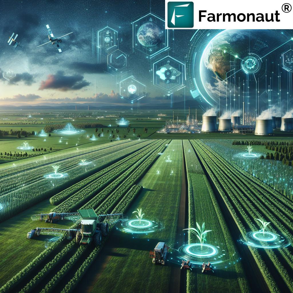
In the heart of the United Arab Emirates, Dubai is embracing a technological revolution in agriculture. As we delve into the world of precision farming, we’ll explore how satellite imagery and GIS mapping solutions are transforming the agricultural landscape in this desert metropolis. At the forefront of this innovation is Farmonaut, a pioneering agricultural technology company that’s making waves with its advanced, satellite-based farm management solutions.
The Power of Satellite Imagery in Modern Agriculture
Satellite imagery has become an indispensable tool in modern agriculture, offering farmers unprecedented insights into their fields from a bird’s-eye view. In Dubai, where water scarcity and harsh climate conditions pose significant challenges, this technology is proving to be a game-changer.
- Daily global coverage: Farmonaut harnesses the power of daily satellite imagery to provide up-to-date information on crop health and field conditions.
- High-resolution mapping: Our platform offers high-resolution farm mapping, allowing farmers to visualize their land with exceptional clarity.
- Real-time analysis: Through advanced machine learning algorithms, we convert raw satellite data into actionable insights in real-time.
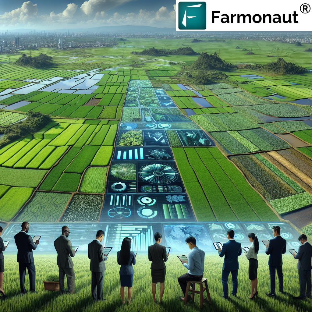
By integrating satellite-based crop health monitoring into their workflows, Dubai’s farmers can make data-driven decisions that optimize resource use and boost productivity.
GIS Mapping: The Foundation of Precision Agriculture
Geographic Information Systems (GIS) form the backbone of precision agriculture technology. In Dubai’s unique agricultural landscape, GIS mapping solutions offer several key benefits:
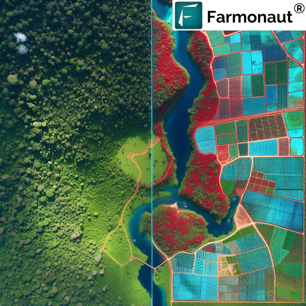
- Accurate land use analysis: GIS allows for precise agricultural land use analysis, crucial in a region where arable land is scarce.
- Resource optimization: By mapping soil types, water resources, and crop distributions, farmers can allocate resources more efficiently.
- Infrastructure planning: GIS aids in planning irrigation systems, roads, and other critical farm infrastructure.
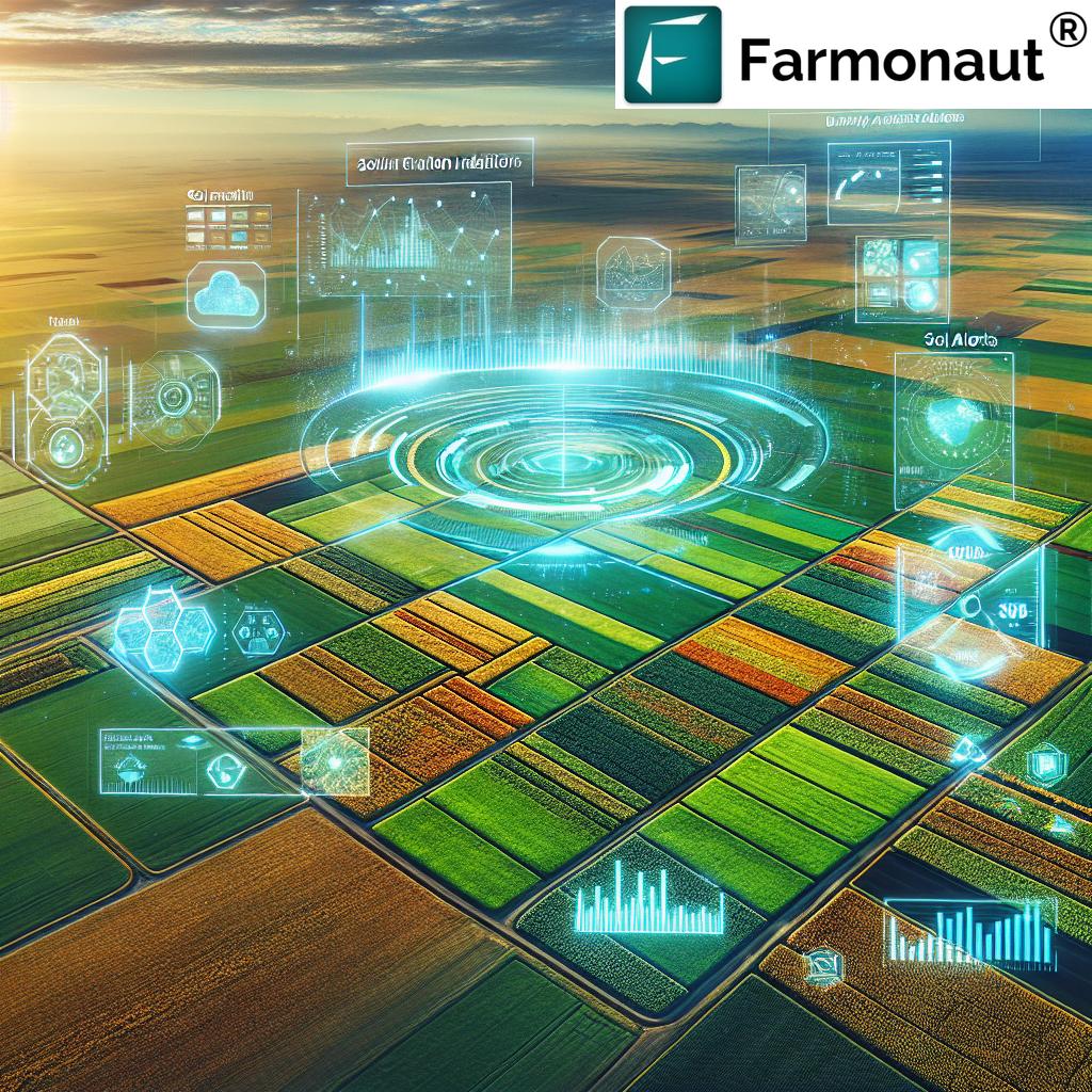
Farmonaut’s platform seamlessly integrates GIS mapping with satellite imagery, providing a comprehensive tool for sustainable agriculture monitoring in Dubai.
The Farmonaut Advantage in Precision Farming
At Farmonaut, we’re committed to making precision agriculture accessible and affordable for farmers worldwide. Our platform offers a range of tools designed to revolutionize farming practices:
- Real-time crop monitoring: Our satellite-based system provides daily updates on crop health, allowing for timely interventions.
- AI-powered advisory: The Jeevn AI system offers personalized recommendations based on real-time data and expert knowledge.
- Blockchain traceability: We ensure transparency in the agricultural supply chain, from farm to consumer.
- Resource management: Our tools help optimize the use of water, fertilizers, and other crucial resources.
By leveraging these advanced technologies, we’re helping Dubai’s farmers overcome the unique challenges of desert agriculture and achieve sustainable growth.
Explore our platform:
Revolutionizing Crop Monitoring from Space
Crop monitoring from space has transformed how we approach agriculture in Dubai. With Farmonaut’s advanced satellite imagery, farmers can:
- Track vegetation health using NDVI (Normalized Difference Vegetation Index)
- Monitor soil moisture levels across vast areas
- Detect early signs of crop stress or disease
- Estimate crop yields with greater accuracy
This level of detailed, timely information allows for proactive management and helps mitigate risks associated with Dubai’s challenging growing conditions.

Enhancing Decision-Making with Satellite Data
The integration of satellite-based crop health monitoring into farming practices is revolutionizing decision-making processes. In Dubai’s agriculture sector, this technology offers several key advantages:
- Timely interventions: Early detection of issues allows for prompt action, reducing crop losses.
- Optimized resource allocation: Precise data helps farmers allocate water and nutrients more efficiently.
- Improved planning: Long-term trends in crop performance inform better crop rotation and land use strategies.
- Enhanced sustainability: Data-driven decisions lead to more sustainable farming practices, crucial in Dubai’s delicate ecosystem.
By leveraging Farmonaut’s platform, Dubai’s farmers can make informed decisions that not only boost productivity but also promote sustainable agriculture.
“Satellite-based crop health monitoring can increase agricultural productivity by up to 20% through improved decision-making and resource allocation.”
The Role of AI and Machine Learning in Precision Agriculture
Artificial Intelligence (AI) and machine learning are at the heart of Farmonaut’s innovative approach to precision farming in Dubai. These technologies enable:
- Automated crop classification: AI algorithms can identify and map different crop types across large areas.
- Predictive analytics: Machine learning models forecast crop yields and potential issues based on historical and real-time data.
- Personalized recommendations: Our AI-driven advisory system provides tailored advice for each farm’s unique conditions.
- Anomaly detection: Advanced algorithms quickly identify unusual patterns that may indicate crop stress or disease.
By harnessing the power of AI and machine learning, we’re helping Dubai’s farmers stay ahead of challenges and optimize their operations for maximum efficiency.
Sustainable Agriculture Monitoring: A Priority for Dubai
In a region where water is scarce and arable land is limited, sustainable agriculture monitoring is not just beneficial—it’s essential. Farmonaut’s platform contributes to sustainability in several ways:
- Water conservation: Precise monitoring of soil moisture helps optimize irrigation, reducing water waste.
- Fertilizer management: Targeted application of fertilizers based on crop needs minimizes environmental impact.
- Biodiversity preservation: Mapping and monitoring natural habitats within agricultural areas support conservation efforts.
- Carbon footprint tracking: Our tools help farms monitor and reduce their carbon emissions, contributing to climate change mitigation.
By providing the tools for sustainable agriculture monitoring, we’re helping Dubai build a resilient and environmentally responsible farming sector.
Interested in our API solutions? Explore our API and API Developer Docs.
Precision Farming Technologies Comparison
| Technology | Primary Function | Data Frequency | Resolution | Key Benefits | Ideal Farm Size | Cost Estimate ($/acre/year) |
|---|---|---|---|---|---|---|
| Satellite Imagery (Farmonaut) | Wide-area crop monitoring | Daily | 3-5 m | Comprehensive coverage, frequent updates | Large (100+ acres) | 2-5 |
| Drone Mapping | Detailed field analysis | On-demand | 1-5 cm | Very high resolution, flexible timing | Small to Medium (10-100 acres) | 10-20 |
| IoT Sensors | Real-time local data collection | Continuous | Point-based | Precise local measurements | Any size | 15-30 |
| Traditional Field Scouting | Manual observation and sampling | Weekly/Monthly | Variable | Detailed ground-truth data | Small (< 10 acres) | 30-50 |
The Future of Precision Farming in Dubai
As Dubai continues to invest in agricultural innovation, the future of precision farming looks bright. We anticipate several exciting developments:
- Integration of IoT: Combining satellite data with ground-based sensors for even more accurate monitoring.
- Advanced AI models: More sophisticated predictive models that can forecast crop performance under various scenarios.
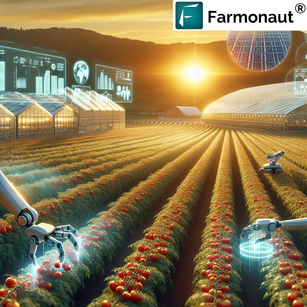
- Automated farm management: AI-driven systems that can autonomously adjust irrigation and fertilization based on real-time data.
- Vertical farming integration: Applying precision farming techniques to Dubai’s growing vertical farming sector.
Farmonaut is committed to staying at the forefront of these innovations, continually enhancing our platform to meet the evolving needs of Dubai’s agricultural sector.
Empowering Dubai’s Farmers with Farmonaut
Our mission at Farmonaut is to democratize access to precision agriculture technology. For Dubai’s farmers, this means:
- Affordable solutions: We offer cost-effective packages suitable for farms of all sizes.
- User-friendly interfaces: Our web and mobile apps are designed for ease of use, even for those new to precision farming.
- Comprehensive support: We provide technical support and training to help farmers make the most of our platform.
- Continuous innovation: Regular updates ensure our users always have access to the latest in agricultural technology.
By choosing Farmonaut, Dubai’s farmers gain a powerful ally in their quest for sustainable, productive agriculture.
Farmonaut Subscriptions
Frequently Asked Questions
Q: How often is satellite imagery updated on Farmonaut’s platform?
A: Our platform processes daily global satellite imagery, providing up to 365 data points per year for each monitored area.
Q: Can Farmonaut’s technology be used for small farms in Dubai?
A: Absolutely! While our technology is scalable for large operations, we offer solutions suitable for farms of all sizes, including small holdings in Dubai.
Q: How does Farmonaut ensure data accuracy in Dubai’s unique climate?
A: Our AI algorithms are trained on diverse datasets, including those from arid regions, ensuring accuracy in Dubai’s specific climatic conditions.
Q: Is internet connectivity required to use Farmonaut’s services in the field?
A: While an internet connection enhances real-time capabilities, our mobile apps can store data offline and sync when connectivity is available.
Q: How does Farmonaut support sustainable farming practices in Dubai?
A: Our platform provides tools for efficient resource management, helping farmers optimize water use, reduce chemical inputs, and monitor their carbon footprint.
Conclusion: Embracing the Future of Farming in Dubai
As we’ve explored throughout this article, the integration of satellite imagery and GIS mapping is revolutionizing agriculture in Dubai. By harnessing these technologies, farmers can overcome the unique challenges of desert agriculture, optimize resource use, and boost productivity.
Farmonaut stands at the forefront of this agricultural revolution, offering a comprehensive suite of tools that make precision farming accessible and affordable. From daily satellite imagery to AI-powered analytics, our platform empowers Dubai’s farmers with the insights they need to thrive in an increasingly data-driven world.
As Dubai continues to push the boundaries of agricultural innovation, Farmonaut remains committed to supporting this journey. By providing cutting-edge technology and unparalleled insights, we’re not just transforming farms – we’re helping to secure a sustainable, productive future for agriculture in Dubai and beyond.
Join us in revolutionizing agriculture. Explore Farmonaut today and discover how satellite imagery and GIS mapping can transform your farming practices.


