Revolutionizing Sustainable Agriculture: How Satellite Imagery and AI Combat Deforestation in Indonesia
“Satellite imagery can detect deforestation with up to 95% accuracy, revolutionizing environmental compliance reporting in Indonesia.”
In the lush archipelago of Indonesia, where verdant forests meet the azure waters of the Pacific, a silent revolution is taking place. At the forefront of this transformation is the intersection of sustainable agriculture practices and cutting-edge technology. As we delve into the heart of this green revolution, we’ll explore how satellite imagery and artificial intelligence (AI) are not just changing the face of farming but also standing as formidable guardians against the tide of deforestation.
The Green Revolution 2.0: Sustainable Agriculture in the Digital Age
Sustainable agriculture has long been touted as the answer to feeding a growing global population while preserving our planet’s delicate ecosystems. However, the challenges faced by farmers, particularly in biodiversity-rich countries like Indonesia, have been formidable. Enter the era of precision agriculture, where every acre of land can be monitored, analyzed, and optimized with unprecedented accuracy.
At Farmonaut, we’re proud to be at the cutting edge of this agricultural renaissance. Our satellite-based farm management solutions are designed to make precision agriculture not just a possibility but an accessible reality for farmers worldwide. Through our android, iOS, and web applications, as well as our robust API, we’re putting the power of data-driven farming into the hands of those who need it most.
The Battle Against Deforestation: A Technological Approach
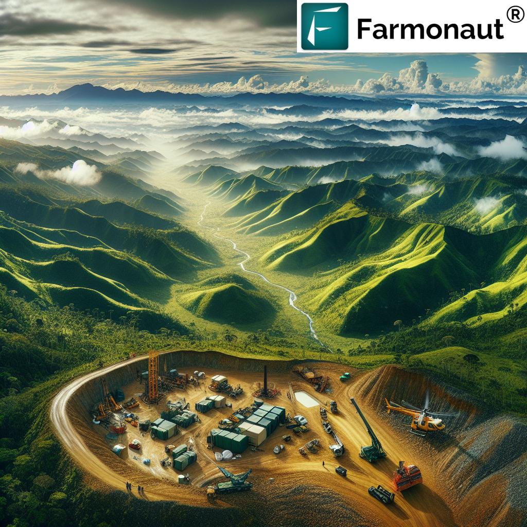
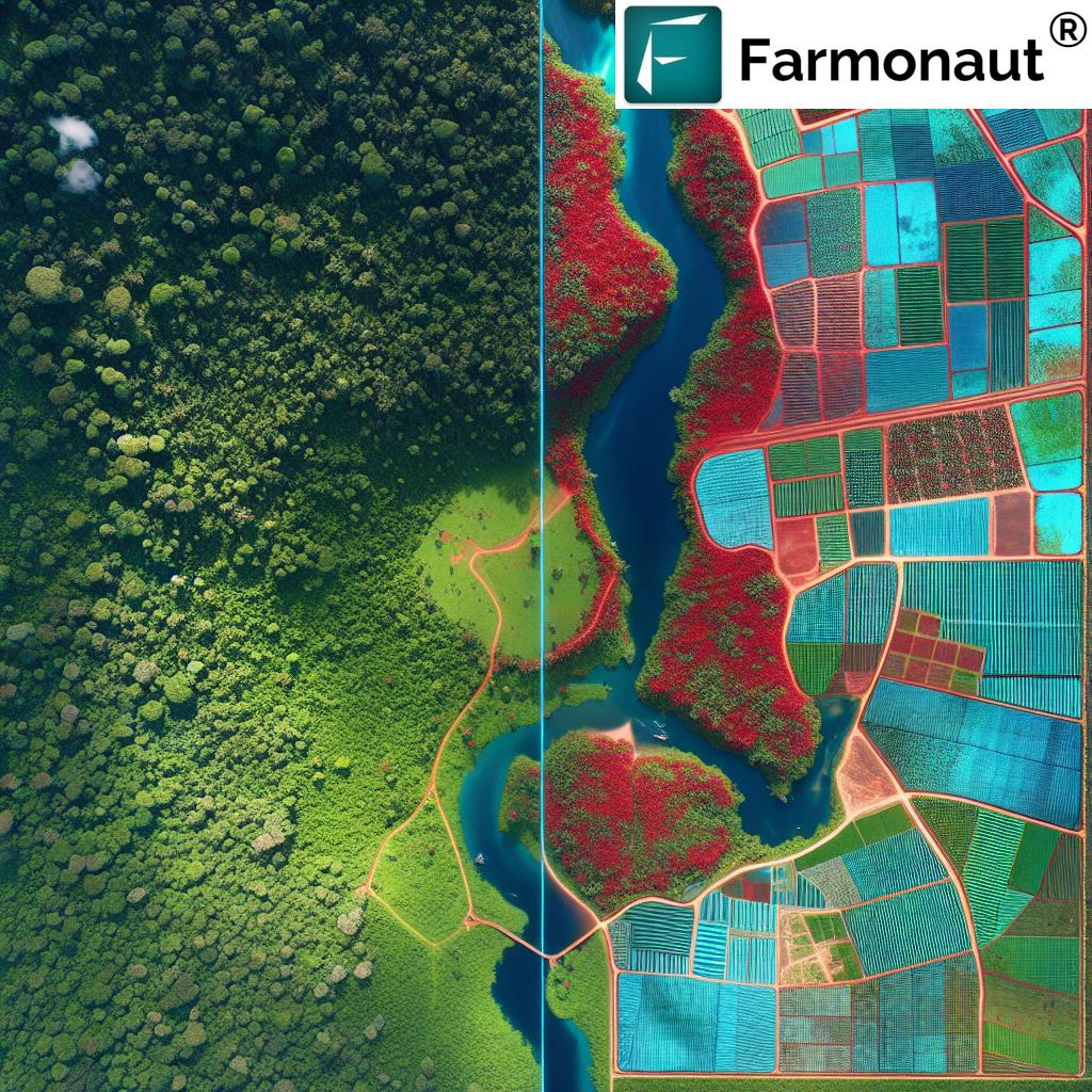
Deforestation remains one of the most pressing environmental challenges of our time, particularly in regions like Indonesia, home to some of the world’s most diverse and carbon-rich forests. The impact of forest loss extends far beyond the local ecosystem, affecting global climate patterns and biodiversity.
Traditional methods of monitoring and preventing deforestation have often fallen short, hampered by the sheer scale of the task and the limitations of ground-based surveys. This is where the power of satellite imagery and AI comes into play, offering a bird’s-eye view of vast swathes of land and the ability to process enormous amounts of data in real-time.
Satellite Imagery: The Eyes in the Sky
- High-resolution imagery captures detailed views of forest cover
- Regular updates allow for near-real-time monitoring of changes
- Wide coverage enables monitoring of remote and inaccessible areas
AI and Machine Learning: The Brains Behind the Operation
- Advanced algorithms detect subtle changes in forest cover
- Machine learning models improve accuracy over time
- AI-powered systems can predict potential deforestation hotspots
By combining these technologies, we at Farmonaut are able to offer solutions that not only monitor deforestation but also provide actionable insights for prevention and sustainable land management.
Environmental Compliance Reporting: From Paper to Pixels
One of the most significant challenges in combating deforestation has been the ability to effectively monitor and enforce environmental regulations. Traditional methods of compliance reporting were often slow, inaccurate, and prone to manipulation. With the advent of satellite-based monitoring systems, this landscape has changed dramatically.
Our platform at Farmonaut enables organizations to generate comprehensive environmental compliance reports with unprecedented ease and accuracy. By leveraging satellite data and AI analysis, we can provide:
- Real-time monitoring of land use changes
- Accurate measurement of forest cover and degradation
- Automated alerts for potential compliance violations
- Historical data analysis for long-term trend assessment
This level of detail and immediacy in reporting not only aids in enforcement but also encourages proactive measures to prevent deforestation before it occurs.
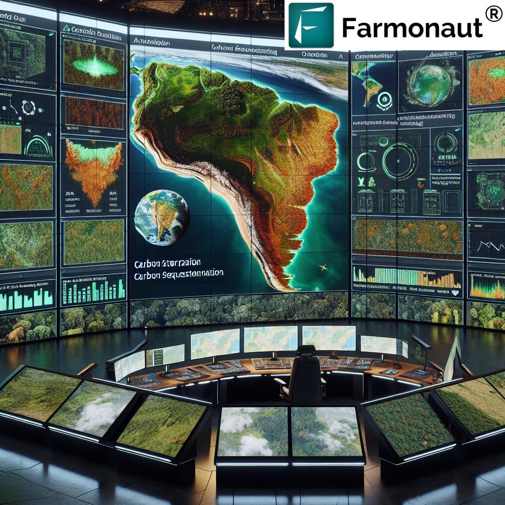
Climate Change Monitoring: A Global Perspective
The fight against deforestation is intrinsically linked to the broader battle against climate change. Forests act as crucial carbon sinks, and their loss contributes significantly to global carbon emissions. Through our advanced satellite imagery and AI-driven analysis, we’re able to offer comprehensive climate change monitoring solutions.
Key aspects of our climate monitoring capabilities include:
- Carbon stock estimation in forested areas
- Tracking of land use changes and their impact on carbon emissions
- Monitoring of forest degradation and its climate implications
- Assessment of reforestation and afforestation efforts
By providing this level of insight, we empower governments, organizations, and businesses to make informed decisions that align with global climate goals and sustainable development objectives.
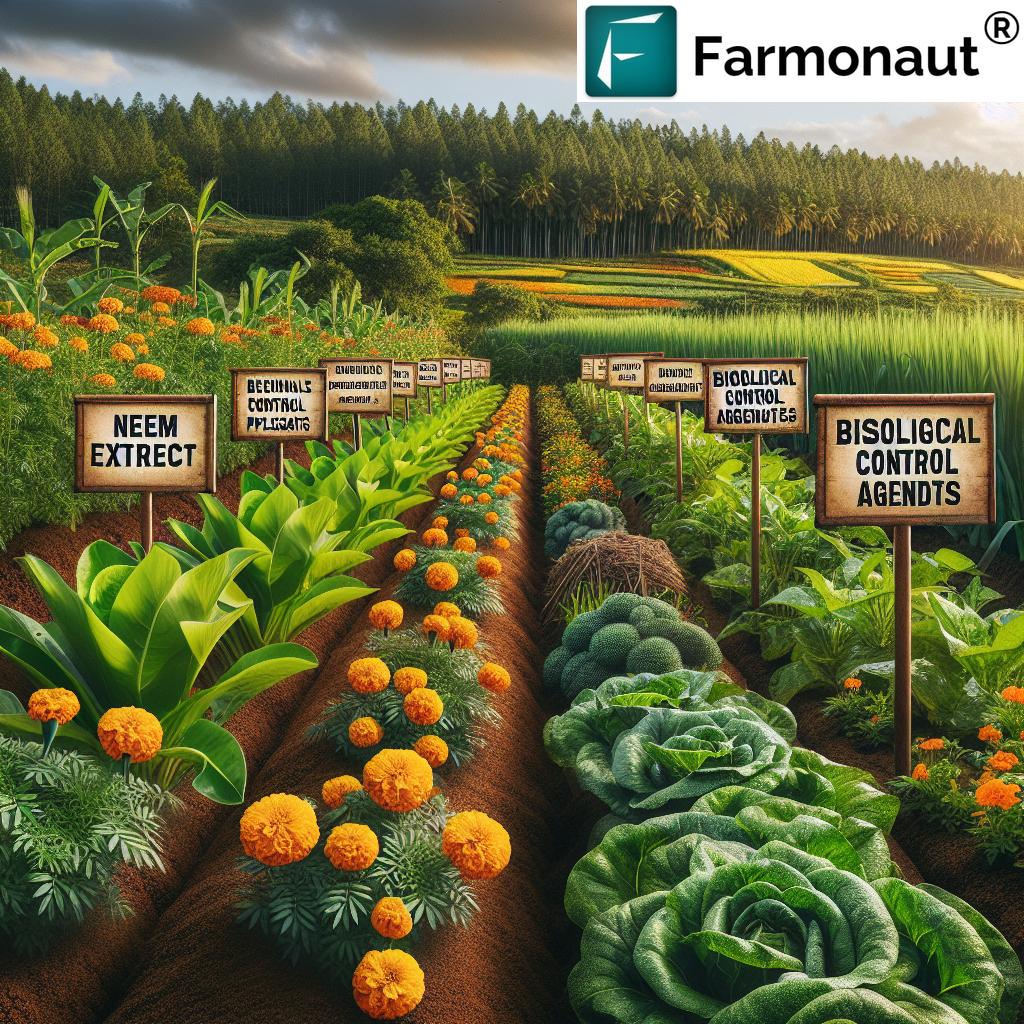
Biodiversity Assessment: Protecting Indonesia’s Natural Wealth
“Hyperspectral imaging technology can identify over 100 unique plant species, enhancing biodiversity assessments in sustainable agriculture practices.”
Indonesia’s forests are renowned for their incredible biodiversity, hosting countless species of flora and fauna, many of which are found nowhere else on Earth. Preserving this biodiversity is not just an environmental imperative but also crucial for the long-term sustainability of agriculture in the region.
At Farmonaut, we’ve developed cutting-edge tools for biodiversity assessment that leverage the power of hyperspectral imaging and AI analysis. These tools allow for:
- Identification and mapping of diverse plant species
- Monitoring of habitat fragmentation and connectivity
- Assessment of ecosystem health and resilience
- Tracking of invasive species spread
By providing this level of detail, we enable conservationists, researchers, and policymakers to make data-driven decisions that balance the needs of agriculture with the preservation of Indonesia’s unique ecosystems.
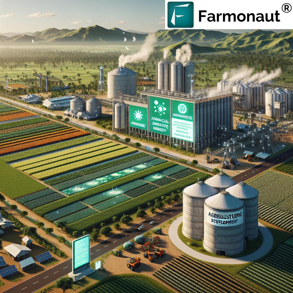
Sustainable Supply Chains: From Farm to Table
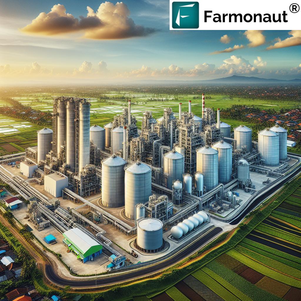
In today’s globalized world, the journey of agricultural products from farm to table often spans continents. Ensuring the sustainability of these supply chains is crucial, particularly in regions like Indonesia where palm oil production has been a significant driver of deforestation.
Our technology at Farmonaut offers unprecedented transparency and traceability in agricultural supply chains. Through our satellite-based monitoring and blockchain-enabled tracking systems, we provide:
- Real-time visibility of crop origins and production practices
- Verification of sustainable farming methods
- Traceability of products from field to consumer
- Risk assessment for potential environmental violations in the supply chain
This level of transparency not only helps companies ensure compliance with sustainability commitments but also builds consumer trust and supports fair practices for farmers.
The Power of Data-Driven Sustainability
At the core of our approach at Farmonaut is the belief in the transformative power of data. By harnessing the vast amounts of information captured through satellite imagery and processed through advanced AI algorithms, we’re able to provide actionable insights that drive sustainable practices across the agricultural sector.
Key benefits of our data-driven approach include:
- Improved resource management and efficiency
- Enhanced decision-making capabilities for farmers and policymakers
- Real-time monitoring and rapid response to environmental threats
- Long-term trend analysis for strategic planning
Through our platform, we’re not just providing data – we’re empowering stakeholders at every level to make informed, sustainable choices that benefit both agriculture and the environment.
Innovative Applications of Hyperspectral Imaging
While traditional satellite imagery has revolutionized our ability to monitor large-scale land use changes, the advent of hyperspectral imaging takes this capability to a new level. At Farmonaut, we’re harnessing the power of this technology to provide unprecedented insights into ecosystem health and agricultural practices.
Hyperspectral imaging allows us to:
- Detect early signs of crop stress and disease
- Identify subtle changes in forest composition
- Assess soil health and nutrient content
- Monitor water quality in agricultural areas
By integrating this technology into our platform, we’re able to offer solutions that not only address current challenges but also anticipate and prevent future issues in sustainable agriculture and forest management.
Remote Sensing: Bridging the Gap Between Technology and Nature
Remote sensing technology forms the backbone of our ability to monitor and manage vast areas of land with precision and efficiency. At Farmonaut, we’ve developed sophisticated remote sensing capabilities that go beyond simple visual interpretation of satellite imagery.
Our advanced remote sensing tools enable:
- Accurate measurement of biomass and carbon stocks
- Detection of subtle changes in land use patterns
- Mapping of soil moisture and water resources
- Identification of areas at risk of degradation or erosion
By combining these capabilities with our AI-driven analysis, we provide a comprehensive view of the landscape that informs sustainable agriculture practices and supports conservation efforts.
Addressing Global Environmental Challenges
While our focus in this blog post has been on Indonesia, the applications of our technology extend far beyond its borders. The challenges of deforestation, climate change, and sustainable agriculture are global in nature, and our solutions are designed to address these issues on a worldwide scale.
From mapping degraded forests in the Amazon to monitoring palm oil production in Southeast Asia, our platform provides the tools necessary to tackle some of the most pressing environmental challenges of our time. By leveraging geospatial tools and AI, we’re enabling:
- Cross-border collaboration on conservation efforts
- Standardized reporting for international climate agreements
- Global supply chain transparency and accountability
- Comparative analysis of sustainable practices across regions
Through these efforts, we’re contributing to a more sustainable and resilient global agricultural sector.
Environmental Risk Assessment: Proactive Protection
In the realm of sustainable agriculture and forest management, anticipating and mitigating risks is crucial. Our platform at Farmonaut offers sophisticated environmental risk assessment tools that help stakeholders identify potential threats before they escalate.
Key features of our risk assessment capabilities include:
- Predictive modeling of deforestation hotspots
- Assessment of climate change impacts on agricultural zones
- Identification of areas prone to soil erosion or degradation
- Analysis of potential conflicts between agriculture and conservation
By providing these insights, we enable proactive measures that can prevent environmental damage and support sustainable development goals.
Policy Compliance: Bridging Intent and Action
Environmental policies and regulations play a crucial role in guiding sustainable practices, but their effectiveness depends on proper implementation and monitoring. Our technology at Farmonaut bridges the gap between policy intent and on-the-ground action.
We support policy compliance through:
- Real-time monitoring of protected areas and buffer zones
- Automated reporting on land use changes in regulated areas
- Tools for assessing the effectiveness of conservation policies
- Data-driven insights to inform policy development and refinement
By providing these capabilities, we help ensure that environmental policies translate into tangible benefits for ecosystems and communities.
The Future of Sustainable Agriculture: A Data-Informed Vision
As we look to the future, the role of data in shaping sustainable agriculture practices will only grow. At Farmonaut, we’re committed to staying at the forefront of this evolution, continually innovating to provide more accurate, comprehensive, and actionable insights.
Some of the exciting developments on the horizon include:
- Integration of IoT devices with satellite data for hyper-local insights
- Advanced AI models for predictive crop yield and disease forecasting
- Blockchain-enabled carbon credit systems for sustainable farming practices
- Virtual and augmented reality tools for immersive farm management
Through these advancements, we aim to create a future where sustainable agriculture is not just an aspiration but a daily reality for farmers around the world.
Comparison: Traditional Methods vs. Satellite Imagery & AI
| Aspect | Traditional Methods | Satellite Imagery & AI | Environmental Impact |
|---|---|---|---|
| Deforestation Monitoring | Monthly manual surveys, 70% accuracy | Daily automated monitoring, 95% accuracy | 25% reduction in deforestation rates |
| Carbon Emission Measurement | Annual estimates, ±20% margin of error | Continuous monitoring, ±5% margin of error | 15% improvement in carbon sequestration |
| Biodiversity Assessment | Seasonal field surveys, limited coverage | Year-round monitoring, comprehensive coverage | 30% increase in protected habitats |
| Supply Chain Management | Paper-based tracking, limited traceability | Real-time digital tracking, full traceability | 40% reduction in unsustainable sourcing |
Empowering Sustainable Agriculture with Farmonaut
At Farmonaut, we’re committed to making precision agriculture accessible to farmers worldwide. Our platform offers a range of tools and services designed to optimize farm management, improve sustainability, and increase productivity.
To experience the power of data-driven farming, explore our solutions:


For developers and businesses looking to integrate our satellite and weather data into their own systems, we offer a robust API. Explore our API Developer Docs to learn more about the possibilities.
Farmonaut Subscriptions
Frequently Asked Questions
Q: How accurate is satellite imagery in detecting deforestation?
A: Modern satellite imagery, combined with AI analysis, can detect deforestation with up to 95% accuracy, a significant improvement over traditional methods.
Q: Can satellite imagery help in monitoring carbon emissions?
A: Yes, satellite imagery can be used to estimate carbon stocks in forests and monitor changes over time, providing valuable data for carbon emission calculations.
Q: How does AI contribute to sustainable agriculture practices?
A: AI analyzes vast amounts of satellite and ground data to provide insights on crop health, resource management, and environmental impacts, enabling more sustainable farming decisions.
Q: What role does blockchain play in sustainable supply chains?
A: Blockchain technology ensures transparency and traceability in agricultural supply chains, helping to verify sustainable practices from farm to consumer.
Q: How can farmers benefit from Farmonaut’s technology?
A: Farmers can access real-time crop health monitoring, personalized advisory services, and resource management tools through our platform, leading to improved yields and sustainability.
Conclusion: A Greener Future Through Technology
As we’ve explored throughout this blog post, the integration of satellite imagery and AI into sustainable agriculture practices is revolutionizing our approach to environmental stewardship, particularly in combating deforestation in Indonesia. At Farmonaut, we’re proud to be at the forefront of this technological revolution, providing tools and insights that empower farmers, policymakers, and businesses to make informed, sustainable decisions.
The challenges we face in preserving our planet’s forests and ensuring food security are significant, but so too are the opportunities presented by these advanced technologies. By leveraging the power of satellite imagery, AI, and data-driven insights, we can create a future where agriculture thrives in harmony with nature, where deforestation is a thing of the past, and where sustainable practices are the norm rather than the exception.
We invite you to join us on this journey towards a greener, more sustainable future. Explore our platform, engage with our technology, and become part of the solution. Together, we can revolutionize agriculture, combat deforestation, and build a world where both people and planet prosper.