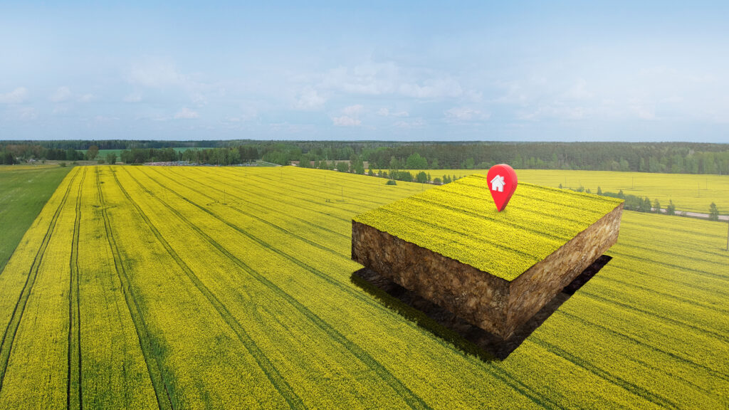
Geotag Farms at Large Scale
with Farmonaut
Geotagging refers to the process of adding geographical identification metadata, such as latitude and longitude coordinates, to various types of media, such as photographs, videos, or social media posts.
Geotagging is typically achieved through GPS technology, but it can also be done manually by entering the coordinates or selecting a location on a map.
However mapping large hectares of land can be a quite daunting task. This is where, Farmonaut’s contemporary approach to manage large-scale farms winning favor. Farmonaut® presents a dynamic and sophisticated solution for corporate farm management.

Farmonaut's Admin application for Corporates allows:
- seamless mapping of fields
- monitor and manage data
- accessibility to advanced web features from smart phones.
With Farmonaut, Farmers can:
- Reduce chemical/fertilizer consumption, by applying it only where needed.
- Cut labour costs, by directing it only where needed and save on irrigation water, by avoiding wastage.
- Increase overall yield, by maintaining soil health and nutrient content.
With Farmonaut, Corporations can:
- Manage farms at a large scale, down to the district/village level.
- Obtain data in real-time, with quick and convenient access.
- Track crop health and progress at every stage. Share data with multiple farmers and increase their yield and productivity
Perks offered by Farmonaut:
- Map large and multiple farms through Farmonaut’s app.
- Efficient farming with easy map technology.
- Maximize yield with our mapping solution.
- Transform farming with accurate satellite results
Can Farmonaut's Geotagging be a Leap forward?
Geotagging has a lot of potential in agriculture, as it can provide valuable location-specific data that can help farmers make informed decisions about their crops and land management practices. Here are a few ways geotagging can be used in agriculture:
- Soil analysis: Geotagging can be used to collect and analyze data on soil quality and characteristics, such as pH levels, nutrient content, and water retention.
- Crop mapping: Geotagging can be used to map the location and size of different crops on a farm and also track the growth and health of their crops and make decisions about harvesting and planting.
- Pest and disease management: Geotagging can be used to track the spread of pests and diseases on a farm and take action to prevent further spread.
- Precision agriculture: Geotagging can be used to implement precision agriculture techniques, such as variable rate fertilization and seeding. By using GPS technology to precisely target inputs and optimize yields, farmers can reduce costs and increase productivity.
Overall, geotagging has the potential to provide farmers with valuable data that can help them make informed decisions about their land management practices, ultimately leading to more sustainable and productive agriculture.
