Agricultural Imaging: 7 Shocking Ways Crops Thrive
Table of Contents
- Introduction: The Imaging Revolution in Agriculture
- Shocking Trivia of Precision Imaging
- Agricultural Imaging Technologies at a Glance
- Why Agricultural Imaging Matters
- 1. Multispectral & Hyperspectral Imaging
- 2. Computer Vision in Precision Agriculture
- 3. Remote Sensing and Satellite Imagery
- 4. Thermal Imaging for Crop Stress Detection
- 5. Optical Sorting and Quality Control
- 6. LiDAR Technology in Farming
- 7. Integration and Automation: The Next Frontier
- Comparative Table: Benefits of Imaging Applications
- Farmonaut: Democratizing Precision Agriculture
- Mid-Read Shocking Imaging Trivia
- Challenges & Future Directions in Agricultural Imaging
- Frequently Asked Questions
- Conclusion
Introduction: The Imaging Revolution in Agriculture
Agriculture is at the cusp of a technological revolution as we, together with farmers, agronomists, and foresters, begin harnessing advanced agricultural imaging technologies. Driven by satellite-based solutions, artificial intelligence, and the integration of spectral imaging, today’s farms are more data-driven than ever, enabling increased productivity, sustainability, and profitability across large and small operations. From precision agriculture and crop health monitoring to the fine-tuned management of resources like water and nutrients, imaging systems are fundamentally changing the way we cultivate, manage, and harvest crops.
In this comprehensive blog, we will explore the 7 shocking ways crops thrive with the power of imaging technologies. We shine a spotlight on Farmonaut and its mission to democratize real-time, satellite-based crop monitoring solutions, making advanced technologies accessible to all farmers and agricultural professionals worldwide.
“Precision imaging boosts crop yield by up to 20% through targeted nutrient and water management.”
Agricultural Imaging Technologies at a Glance
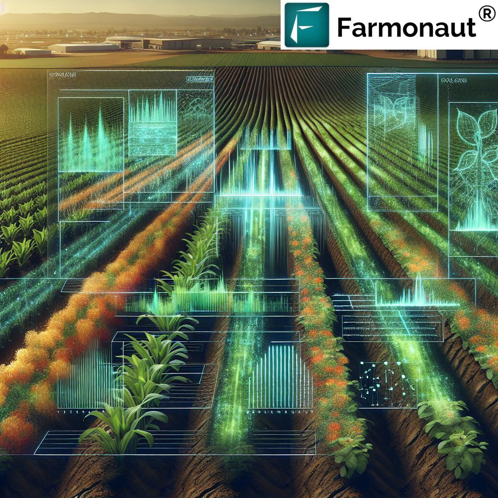
Agricultural imaging is an umbrella term encompassing a spectrum of technologies and techniques for capturing and analyzing visual data on farms. By leveraging multispectral, hyperspectral, thermal, and lidar-based imaging, as well as AI-powered computer vision, we gain unprecedented insights into crop health, soil conditions, water distribution, and the overall dynamics of our agricultural ecosystems. This data-driven approach empowers farmers and foresters to make informed decisions about irrigation management, pest detection, targeted fertilization, and resource allocation, ensuring enhanced productivity and sustainability.
- Multispectral and hyperspectral imaging identify nutrient deficiencies and stress in crops before symptoms become visible.
- Thermal imaging reveals subtle water stress or pest infestations through temperature anomalies.
- Computer vision in agriculture enables automated crop monitoring, yield estimation, and robotic harvesting with pinpoint accuracy.
- Remote sensing for farming—powered by satellites—provides scalable, season-long coverage of vast agricultural landscapes.
- Optical sorting systems automate post-harvest quality control, reducing labor and improving product uniformity.
- Lidar technology in farming enables 3D mapping of fields and supports next-generation autonomous farm machinery.
- Integration of these imaging systems unlocks new opportunities for sustainability, efficiency, and resilience throughout agricultural supply chains.
Why Agricultural Imaging Matters
As challenges such as shrinking arable land, changing climates, and resource scarcity intensify, the necessity for advanced agricultural imaging technologies becomes clear. Precision agriculture harnesses these methods to:
- Monitor crop health and detect stress before visible symptoms appear, enabling pre-emptive management
- Optimize irrigation and fertilizer use, reducing waste and cost
- Boost yields through targeted interventions
- Reduce labor and human error by automating routine monitoring and quality tasks
- Enable farm-scale analytics and planning for businesses, governments, and cooperatives
The seamless integration of these technologies ushers in an era where every drop of water, every kilogram of fertilizer, and each plant in our fields is monitored, managed, and maximized for the best possible outcome.
1. Multispectral & Hyperspectral Imaging: Decoding Crop Health with Light
Multispectral imaging in agriculture and hyperspectral imaging have redefined how we capture and analyze the health and status of our crops. By collecting visual data across multiple wavelengths—often beyond the visible spectrum—these technologies allow us to detect subtle differences in how plants reflect light. This “spectral signature” pinpoints critical issues such as diseases, nutrient deficiencies (like nitrogen or potassium), water stress, and even early pest infestation.
How Multispectral Imaging Works
- Captures light reflected by vegetation at several specific wavelengths—visible (RGB), near-infrared (NIR), and short-wave infrared (SWIR).
- Analyzes spectral data to generate indices (e.g., NDVI, EVI) that quantify vegetation cover, plant health, and growth stages.
- Enables mapping of crop variability, identifying underperforming areas and providing early warnings for stunted growth and mortality.
For example, using NDVI (Normalized Difference Vegetation Index) from satellite images, we can distinguish healthy crops from those suffering from water deficiency or nutrient limitations. This leads to more effective management of irrigation and fertilizer, dramatically improving efficiency.
- Benefits: Early detection saves yields, reduces cost, and improves sustainability by addressing problems before they escalate.
- Scalable: Works equally well at field-level and across millions of hectares, supporting both smallholders and corporate agriculture.
- Accessible to All: Platforms like Farmonaut deliver multispectral imaging in agriculture to any farmer via web, Android, or iOS apps, making high-tech monitoring affordable and practical worldwide.
Farmonaut Platform: Real-Time Multispectral Crop Monitoring
On Farmonaut’s platform, satellite-based multispectral imaging powers actionable, real-time crop health monitoring. This means every field’s vegetation index, soil moisture, and stress hotspots are at your fingertips, accessible from anywhere in the world.
2. Computer Vision in Precision Agriculture: AI-Powered Eyes on the Farm
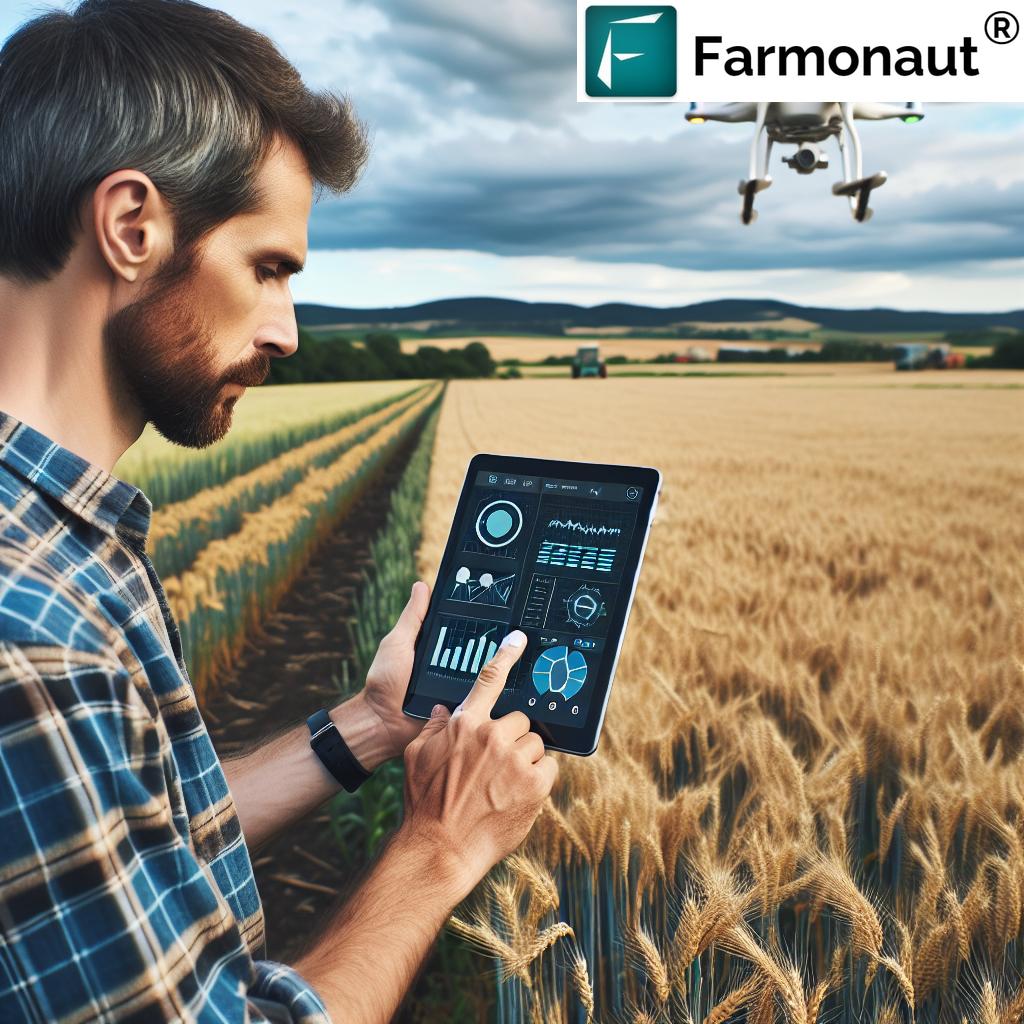
Artificial intelligence and computer vision in agriculture are rapidly transforming the landscape of precision farming. By analyzing images from drones, satellites, or field cameras, AI models can:
- Estimate crop yield by counting and measuring plants or fruits, supporting better harvest and supply chain planning
- Monitor plant health by detecting tiny variances in color, shape, and texture—imperceptible to the human eye
- Guide robotic systems in automated harvesting, pruning, and weeding
- Identify livestock issues such as lameness, illness, or environmental stress based on movement and appearance
This technology integrates seamlessly with precision agriculture, enabling the targeted application of fertilizers, pesticides, and irrigation, thus driving resource efficiency and environmental stewardship.
AI-Powered Yield Estimation
Using field images throughout the growing season, AI-based models can predict yields weeks or months before harvest. This capability empowers us to plan for labor, logistics, and market demand with new levels of confidence.
Securing Crop Loans & Insurance the Smart Way
Farmonaut’s platform offers satellite-based verification of farm conditions, optimizing risk assessments and claims for crop loans and agri-insurance. This not only accelerates loan approvals but also discourages fraudulent claims—benefiting both farmers and lenders.
3. Remote Sensing and Satellite Imagery: Macro Insights for Micro Interventions
Remote sensing for farming has rapidly become the backbone of large-scale agricultural monitoring. With high-frequency, high-resolution satellite imagery for crop analysis, we gain a “bird’s-eye view” of our fields—across a village, a state, a country, or even the globe.
- Monitor growth and vigor across entire farms, efficiently identifying stress, pest outbreaks, and resource use anomalies
- Assess weather impacts in near-real-time to adapt irrigation, planting, and harvesting schedules
- Quantify crop area and yield for informed planning, supply chain optimization, and policy implementation
The integration of vegetation indices such as NDVI, assessment of soil conditions, and detailed monitoring of crop growth stages become possible with Farmonaut’s Satellite Crop Monitoring solution, making precision accessible everywhere.
- Highly Scalable: Monitor single farms or entire agricultural regions affordably and efficiently.
- Environmental Insights: Track indicators of sustainable practices—like deforestation, soil health, and water retention—over time.
- Traceability & Transparency: Integrate blockchain to trace crop origin, promoting food safety and transparent supply chains.
Manage Vast Farms with Ease
With the Farmonaut Large Scale Farm Management solution, agribusinesses, plantation owners, and government agencies receive real-time satellite analytics and notifications on field health, resource usage, and productivity at any scale.
4. Thermal Imaging for Crop Stress Detection: The Hidden Language of Temperature
While multispectral imaging focuses on visible and near-infrared reflectance, thermal imaging for crop stress detection unveils patterns invisible to standard cameras but vital for crop survival. By capturing heat “signatures” in plants—often related to transpiration and water status—we can:
- Identify irrigation issues—areas that are over-watered or dry, saving water and boosting uniformity
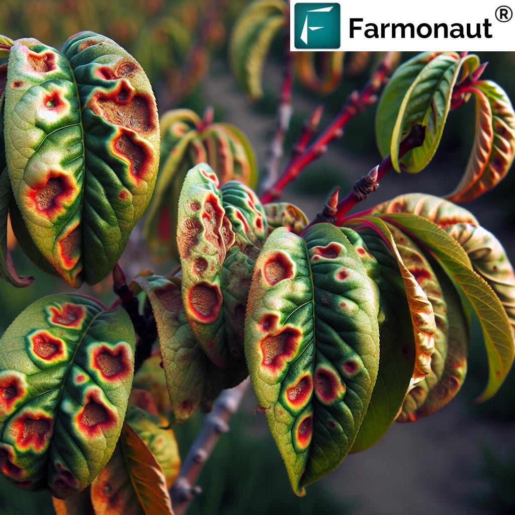
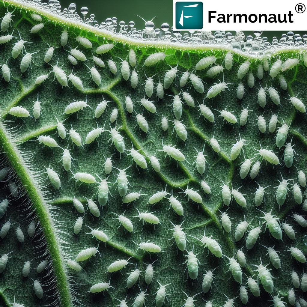
- Detect plant stress due to pests, diseases, or nutrient deficiencies promptly
- Monitor frost damage or heat impact, especially important for regions with extreme weather
For instance, a plant suffering from water deficit will close its stomata, causing the canopy temperature to rise—detectable only with thermal cameras. Quick intervention at this stage ensures minimal yield loss and preserves crop quality.
Smart Water Management for Sustainability
Combining thermal data with NDVI and multispectral imaging enables fine-tuned irrigation management, supporting both cost savings and sustainable resource use.
Optimized Fleet & Resource Management for Larger Operations
Through Farmonaut’s fleet management tools, agribusinesses can track machinery in real time, ensuring safe and effective deployment of all equipment—reducing operational costs and maximizing labor and fuel efficiency.
5. Optical Sorting and Quality Control: Post-Harvest Imaging Excellence
After harvest, ensuring premium product quality is a core goal of modern agriculture. Optical sorting systems powered by high-speed machine vision technology automate the identification and removal of defective, discolored, or undersized crops. Key benefits include:
- Rapid, non-destructive inspection—processing thousands of items per minute
- Improved consistency and uniformity—critical for food supply chains and export markets
- Minimized labor costs and reduced human error
- Data capture on rejection rates, enabling upstream improvements in field practices
This technology is now integral in sorting grains, fruits, vegetables, and nuts, raising the bar for both efficiency and market competitiveness.
Linking Field & Factory: Supply Chain Integration
With blockchain-based traceability from Farmonaut’s platform, product quality can be tracked from harvest through processing to the shelf, increasing transparency and consumer trust.
6. LiDAR Technology in Farming: 3D Mapping & Beyond
LiDAR (Light Detection and Ranging) is revolutionizing field mapping and equipment automation. By emitting laser pulses, LiDAR captures detailed 3D representations of crops, soil surfaces, and obstacles. It is especially effective in orchards, vineyards, and complex landscapes.
- Accurate 3D Field Mapping: Detailed elevation and plant structure data support precision planting, drainage, and farm planning.
- Equipment Guidance: Even in GNSS-denied environments (dense forest, canopy, or remote hills), robotic farm equipment can navigate safely using LiDAR data.
- Weed & Pest Management: Identify and control invasive species or pest hotspots by analyzing plant morphology through 3D point clouds.
- Tracking Ecosystem Dynamics: Quantifies natural and man-made environmental changes, improving long-term sustainability and conservation efforts.
LiDAR’s data fusion with satellite, drone, and ground sensors brings a new standard to geospatial analytics in agriculture.
7. Integration and Automation: The Pathway to Smarter Farms
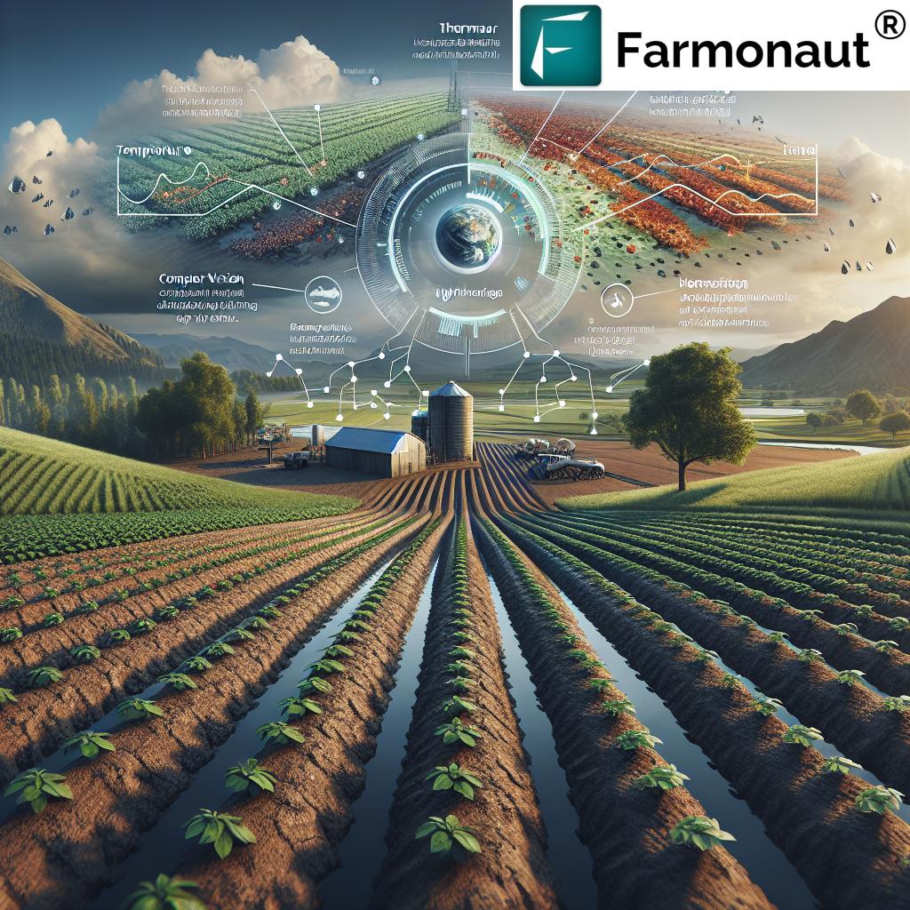
The integration of imaging technologies in precision agriculture unlocks even greater potential. By fusing multispectral, thermal, LiDAR, and AI-powered imagery, we can create a unified, dynamic picture of farm health. Key opportunities include:
- Optimized Irrigation Scheduling: Combine thermal and multispectral data to tailor water delivery to specific zones as needed.
- Automated Task Management: Use real-time field imaging and AI to trigger robotic tasks—such as targeted spraying, variable-rate fertilization, or selective harvesting.
- Unprecedented Agricultural Robotics Automation: Robotic platforms equipped with advanced imaging systems can prune, harvest, and weed autonomously, minimizing crop damage, labor, and resource use.
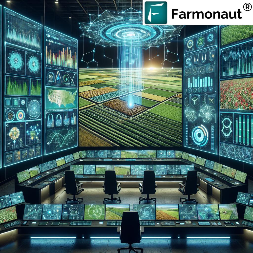
- Comprehensive Farm Management: Access all monitoring, analytics, and planning from a single dashboard on your smartphone or browser app with Farmonaut.
Personalized Farm Advisory with Jeevn AI
Farmonaut’s Jeevn AI Advisory System delivers tailored guidance to farmers by converting multi-source imaging and weather data into actionable insights—improving resource allocation, predicting threats, and boosting productivity.
Plantation & Forest Crop Advisory Solutions
Enhanced forest, orchard, and plantation management is more efficient using Farmonaut’s crop plantation and forest advisory, which leverages imaging and AI to manage complex multi-crop and natural environments on any scale.
Comparative Table: Benefits of Leading Imaging Applications in Agriculture
“Over 60% of large farms now use advanced imaging for real-time crop health monitoring.”
Farmonaut: Democratizing Precision Agriculture for All
At the heart of these breakthroughs is Farmonaut—a pioneering, satellite-powered agricultural imaging platform designed to bring precision agriculture within reach for every farm, big or small, anywhere in the world. Through its Android, iOS, web, and API solutions, Farmonaut empowers users to:
- Monitor crop health in real time via satellite imagery and advanced AI advisory systems
- Optimize irrigation, fertilizer, and pesticide use using multispectral and thermal imaging data
- Improve farm profitability by reducing input costs and increasing yields with targeted interventions
- Track carbon emissions and enhance sustainability with Farmonaut’s carbon footprinting tools
- Ensure supply chain transparency using blockchain-backed product traceability solutions
- Automate large-scale farm management for plantations and agribusinesses, with real-time analytics and resource tracking
- Access API integration for seamless incorporation of imaging and weather data into any agribusiness system.
Farmonaut API – for developer access (see API Documentation)
Farmonaut’s subscription-based business model ensures that services are scalable and affordable, with users only paying for what they need (see Subscription Pricing Table below). This democratizes agricultural imaging—putting cloud-based crop monitoring, precision management, and real-time insights into every farmer’s hand.
Challenges & Future Directions in Agricultural Imaging
While agricultural imaging technologies offer clear and transformative benefits, widespread adoption encounters several challenges:
- Initial Investment: Some imaging systems, especially high-resolution drones and LiDAR sensors, may have significant up-front costs, though solutions like Farmonaut lower the barrier via subscription and satellite-based services.
- Technical Expertise: Interpreting imaging data and integrating it into farm management practices requires training, ongoing support, and often digital literacy for smallholder farmers.
- Data Management: Large volumes of field images, time-series analyses, and sensor data present a storage and analysis challenge, necessitating robust digital infrastructure.
- Connectivity: In some rural regions, reliable internet access is still required to access cloud-based imaging platforms and real-time advisories.
Looking Ahead: The Future of Imaging-Driven Agriculture
- Improved Resolution & Accuracy: Next-generation satellites, drones, and AI models will provide even sharper, more actionable insights.
- Interoperability: Better integration between imaging systems, farm equipment, and management software will simplify workflows and data transfer.
- Broader Accessibility: Efforts to train and enable farmers, especially in developing regions, will bridge the digital divide and enhance global food security.
- Actionable Intelligence: Continued development of Jeevn AI and similar tools will move beyond diagnostics, delivering concrete prescriptions and automating responses in real time.
- Sustainability at the Core: Combining carbon tracking, resource optimization, and ecosystem monitoring will help agriculture adapt to regulatory, environmental, and consumer demands for greener practices.
The trajectory of agricultural imaging is clear: integrated, intelligent, and accessible systems will become the new norm, driving both profit and planet-positive outcomes worldwide.
Frequently Asked Questions (FAQ) on Agricultural Imaging
-
What is agricultural imaging, and why is it important?
Agricultural imaging refers to the use of technologies—like multispectral, hyperspectral, thermal, LiDAR, and computer vision—to capture and analyze visual data from farms. It’s essential for precision crop management, early detection of issues, and boosting productivity and sustainability.
-
How does multispectral imaging benefit farmers?
Multispectral imaging allows farmers to monitor crop health, detect nutrient and water deficiencies, and manage fields more efficiently by providing actionable, field-level insights before visible symptoms appear.
-
Can small farms afford these imaging technologies?
Yes. While some hardware may require investment, platforms like Farmonaut use satellite imaging and subscription models to make precision agriculture affordable and accessible, even for smallholder farmers.
-
Does agricultural imaging replace the need for traditional scouting?
Imaging enhances traditional scouting by providing broader, more frequent coverage. It’s most effective when used alongside on-ground inspections for context and validation.
-
What is the environmental impact of using imaging in agriculture?
By enabling targeted use of resources and early disease control, imaging reduces waste, conserves water and fertilizers, and minimizes the environmental footprint of agricultural practices.
-
How do I access Farmonaut’s services?
Download the web, Android, or iOS app, or access through an integrated API for your agribusiness systems. Subscription options are flexible and accessible globally.
Conclusion: Imaging Technologies Pave the Way for Thriving, Sustainable Farms
The advent of advanced agricultural imaging technologies has unlocked a new era in farming—one where data-driven insights drive every decision. By leveraging precision agriculture methods such as multispectral imaging in agriculture, remote sensing for farming, thermal imaging for crop stress detection, computer vision in agriculture, lidar technology in farming, and agricultural robotics automation, we can monitor, manage, and optimize every aspect of crop production and field management.
Platforms such as Farmonaut make these innovations accessible and actionable, supporting farmers, agribusinesses, and governments as they strive for better productivity, efficiency, and sustainability. Whether you’re looking to boost yield, conserve resources, automate tedious tasks, or ensure transparency across your supply chain, agricultural imaging is the essential frontier for future-ready, profitable, and sustainable farming.
Embrace the imaging revolution—empower your farm, your fields, and our shared future.


