Revolutionizing Land Surveys: How Drone Swarms and AI Are Transforming the $2.5 Billion Aerial Imaging Industry
“The drone aerial survey market is projected to reach $791.21 Billion by 2031, with a staggering CAGR of 55.90%”
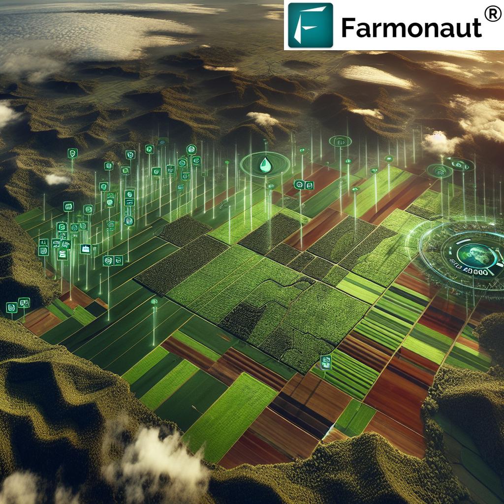
In recent years, we’ve witnessed a remarkable transformation in the field of land surveying and aerial imaging. The integration of drone technology, artificial intelligence (AI), and swarm intelligence is revolutionizing how we capture, analyze, and utilize spatial data. This blog post delves into the exciting developments reshaping the $2.5 billion aerial imaging industry, exploring how drone swarms and AI are pushing the boundaries of what’s possible in land surveys and beyond.
The Rise of Drone Technology in Aerial Surveys
Unmanned Aerial Vehicles (UAVs), commonly known as drones, have become increasingly prevalent in various industries, with land surveying being one of the most impacted sectors. The ability of drones to capture high-resolution imagery and data from unique vantage points has opened up new possibilities for surveyors, urban planners, and environmental researchers.
Key advantages of using drones for aerial surveys include:
- Cost-effectiveness compared to traditional manned aircraft surveys
- Ability to access hard-to-reach or dangerous areas
- Rapid data collection and processing
- High-resolution imagery and 3D mapping capabilities
- Reduced environmental impact
As drone technology continues to advance, we’re seeing a shift from single-drone operations to more sophisticated drone swarm applications, which promise to revolutionize the industry further.
Drone Swarms: The Next Frontier in Aerial Imaging
Drone swarm technology represents a significant leap forward in aerial survey capabilities. By coordinating multiple drones to work together as a cohesive unit, surveyors can cover larger areas more efficiently and gather more comprehensive data sets.
“The enterprise segment of the drone industry is rapidly expanding, offering end-to-end solutions and analytical services across various sectors.”
Some key benefits of drone swarms include:
- Increased survey speed and efficiency
- Enhanced data accuracy through multiple data points
- Improved obstacle avoidance and adaptability
- Redundancy and fault tolerance
- Scalability for various project sizes
To better understand the advantages of drone swarm technology, let’s compare it to traditional aerial imaging methods:
| Features | Drone Swarms | Single Drones | Manned Aircraft |
|---|---|---|---|
| Survey Speed | Very High | Moderate | High |
| Data Accuracy | Very High | High | Moderate |
| Cost-Effectiveness | High | Moderate | Low |
| Area Coverage | Large | Small to Medium | Large |
| AI Integration Capabilities | Advanced | Moderate | Limited |
As we can see, drone swarms offer significant advantages in terms of speed, accuracy, and AI integration capabilities, making them a game-changer for the aerial imaging industry.
AI-Powered Drones: Enhancing Data Collection and Analysis
The integration of artificial intelligence with drone technology is taking aerial surveys to new heights. AI-powered drones can make real-time decisions, optimize flight paths, and even process data on the fly. This convergence of technologies is creating more efficient and intelligent survey solutions.
Some key applications of AI in drone-based surveys include:
- Automated flight planning and obstacle avoidance
- Real-time image processing and analysis
- Object detection and classification
- Predictive maintenance and battery management
- Adaptive mission planning based on environmental conditions
These AI-driven capabilities are particularly valuable in sectors such as agriculture, where precision and timeliness are crucial. For instance, Farmonaut’s satellite-based farm management solutions leverage AI to provide farmers with real-time crop health monitoring and personalized advisory services, demonstrating the power of combining aerial imaging with intelligent analysis.
Expanding Applications of Drone Aerial Surveys
The versatility of drone technology, especially when combined with AI and swarm capabilities, has led to its adoption across various industries. Some key sectors benefiting from these advancements include:
1. Agriculture and Precision Farming
Drones are revolutionizing agriculture by providing farmers with detailed insights into crop health, soil conditions, and resource management. Farmonaut’s platform exemplifies this by offering satellite-based crop monitoring and AI-driven advisory services, enabling farmers to make data-driven decisions and optimize their yields.
2. Construction and Infrastructure
In the construction industry, drones are being used for site surveying, progress monitoring, and safety inspections. The ability to quickly generate accurate 3D models and orthomosaic maps has significantly streamlined project planning and execution processes.
3. Environmental Monitoring and Conservation
Drones equipped with specialized sensors are helping researchers monitor wildlife populations, track deforestation, and assess the impact of climate change on ecosystems. The carbon footprinting tools offered by companies like Farmonaut are also aiding in environmental impact assessments and sustainability efforts.
4. Urban Planning and Smart Cities
City planners are leveraging drone technology to create detailed 3D models of urban environments, assess infrastructure needs, and plan for future development. This data-driven approach is crucial for creating more sustainable and livable cities.
5. Disaster Response and Management
Drone swarms are proving invaluable in disaster response scenarios, providing rapid situational awareness and facilitating search and rescue operations. Their ability to cover large areas quickly and safely is a significant advantage in time-critical situations.
The Future of Drone Swarms and AI in Aerial Imaging
As we look to the future, several trends are shaping the evolution of drone swarms and AI in the aerial imaging industry:
1. Enhanced Autonomy and Collaboration
Future drone swarms will exhibit even greater levels of autonomy, with improved ability to collaborate and make decisions collectively. This will enable more complex survey missions and data collection tasks.
2. Integration with IoT and 5G Networks
The integration of drone swarms with IoT devices and 5G networks will create more connected and responsive survey systems, enabling real-time data transmission and analysis on an unprecedented scale.
3. Advanced AI and Machine Learning Capabilities
Continued advancements in AI and machine learning will lead to more sophisticated data analysis capabilities, enabling drones to not only collect data but also provide actionable insights in real-time.
4. Miniaturization and Extended Flight Times
Ongoing developments in battery technology and drone design will result in smaller, more efficient drones capable of longer flight times, further expanding their survey capabilities.
5. Regulatory Evolution
As drone technology advances, we can expect regulatory frameworks to evolve, potentially opening up new applications for drone swarms in areas currently restricted by airspace regulations.
“The drone aerial survey market is projected to reach $791.21 Billion by 2031, with a staggering CAGR of 55.90%”
Challenges and Considerations
While the future of drone swarms and AI in aerial imaging is promising, several challenges need to be addressed:
- Privacy concerns and data security
- Airspace management and safety considerations
- Standardization of data formats and interoperability
- Training and skill development for operators and analysts
- Ethical considerations in AI decision-making processes
Addressing these challenges will be crucial for the continued growth and adoption of drone swarm technology in aerial surveys.
The Role of Enterprise Solutions in Driving Industry Growth
As the drone aerial survey market expands, enterprise solutions are playing a crucial role in driving adoption and innovation. Companies like Farmonaut are at the forefront of this trend, offering comprehensive platforms that integrate satellite imagery, AI, and data analytics to provide actionable insights for various industries.
Key features of enterprise drone solutions include:
- End-to-end survey planning and execution
- Advanced data processing and analysis tools
- Integration with existing business systems and workflows
- Scalable infrastructure to handle large datasets
- Compliance and security features for enterprise-grade deployments
These enterprise solutions are not only making drone technology more accessible to businesses but are also driving innovation in how aerial survey data is collected, processed, and utilized.
Emerging Applications in Indoor Environments
While outdoor aerial surveys have been the primary focus of drone technology, we’re now seeing exciting developments in indoor applications. Indoor drone swarms are being used for inventory management, security operations, and facility inspections in large warehouses and industrial spaces.
Some key benefits of indoor drone applications include:
- Automated inventory counts and asset tracking
- Enhanced security and surveillance capabilities
- Improved safety for human workers in hazardous environments
- Real-time monitoring of environmental conditions
- Efficient facility mapping and maintenance planning
These indoor applications are opening up new markets for drone technology and demonstrating the versatility of swarm intelligence in confined spaces.
The Impact on Traditional Surveying Methods
As drone swarms and AI continue to revolutionize the aerial imaging industry, we’re seeing a significant impact on traditional surveying methods. While conventional techniques still have their place, the advantages offered by drone technology are driving a shift in the industry:
- Increased efficiency and cost-effectiveness
- Ability to survey previously inaccessible areas
- Higher data accuracy and resolution
- Faster turnaround times for survey results
- Reduced environmental impact compared to manned aircraft surveys
This shift is not only changing how surveys are conducted but also creating new job roles and skill requirements within the industry.
The Role of Data Analytics and Machine Learning
The true power of drone swarms in aerial imaging lies not just in data collection but in the analysis and insights derived from that data. Advanced data analytics and machine learning algorithms are crucial for turning raw survey data into actionable intelligence.
Key areas where data analytics and ML are making an impact include:
- Automated feature extraction and classification
- Change detection and time-series analysis
- Predictive modeling for resource management
- Anomaly detection in infrastructure inspections
- Optimization of survey flight paths and data collection strategies
Companies like Farmonaut are leveraging these technologies to provide valuable insights in agriculture, as seen in their crop loan and insurance solutions, which use satellite data and AI to assess crop health and potential yields.
The Economic Impact of Drone Swarm Technology
The rapid growth of the drone aerial survey market is having a significant economic impact across various sectors. With projections reaching $791.21 Billion by 2031, this technology is creating new business opportunities, job roles, and revenue streams.
Some key economic impacts include:
- Job creation in drone manufacturing, operations, and data analysis
- Increased efficiency and cost savings in surveying and inspection tasks
- New revenue streams for drone service providers and data analytics companies
- Improved decision-making leading to better resource allocation in industries like agriculture and construction
- Potential for new insurance and financial products based on drone-collected data
As the industry continues to grow, we can expect to see even greater economic benefits and transformative effects across various sectors.
Conclusion: A New Era of Aerial Imaging
The convergence of drone swarm technology, AI, and advanced data analytics is ushering in a new era for the aerial imaging industry. From revolutionizing land surveys to transforming agriculture, urban planning, and disaster response, these technologies are reshaping how we interact with and understand our environment.
As we look to the future, the continued evolution of drone swarms and AI promises even greater advancements in efficiency, accuracy, and insight generation. While challenges remain, particularly in areas of regulation and privacy, the potential benefits of this technology are too significant to ignore.
For businesses and organizations looking to leverage these advancements, platforms like Farmonaut offer a glimpse into the future of data-driven decision-making in agriculture and beyond. As the industry continues to grow and evolve, we can expect to see even more innovative applications and transformative impacts across various sectors.
The revolution in aerial imaging is well underway, and the sky is truly the limit for what drone swarms and AI can achieve.
FAQ Section
Q1: What are the main advantages of using drone swarms for aerial surveys?
A1: Drone swarms offer increased survey speed, enhanced data accuracy through multiple data points, improved obstacle avoidance, redundancy, and scalability for various project sizes.
Q2: How is AI being integrated into drone technology?
A2: AI is being used for automated flight planning, real-time image processing, object detection and classification, predictive maintenance, and adaptive mission planning based on environmental conditions.
Q3: What industries are benefiting most from drone aerial surveys?
A3: Key industries include agriculture, construction, environmental monitoring, urban planning, and disaster response management.
Q4: What are some challenges facing the widespread adoption of drone swarm technology?
A4: Challenges include privacy concerns, airspace management, data standardization, operator training, and ethical considerations in AI decision-making.
Q5: How are indoor drone applications different from outdoor surveys?
A5: Indoor drone applications focus on inventory management, security operations, and facility inspections in confined spaces, requiring different navigation and control systems compared to outdoor surveys.
Earn With Farmonaut: Affiliate Program
Earn 20% recurring commission with Farmonaut’s affiliate program by sharing your promo code and helping farmers save 10%. Onboard 10 Elite farmers monthly to earn a minimum of $148,000 annually—start now and grow your income!


For developers interested in integrating aerial imaging data into their applications, check out the Farmonaut API and the comprehensive API Developer Docs.