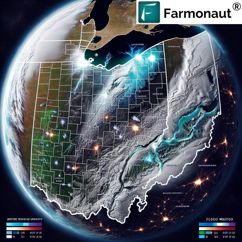
Ohio Weather Alert: Flood Watch and Winter Advisory – Prepare for Heavy Rain, Snow, and Freezing Temperatures
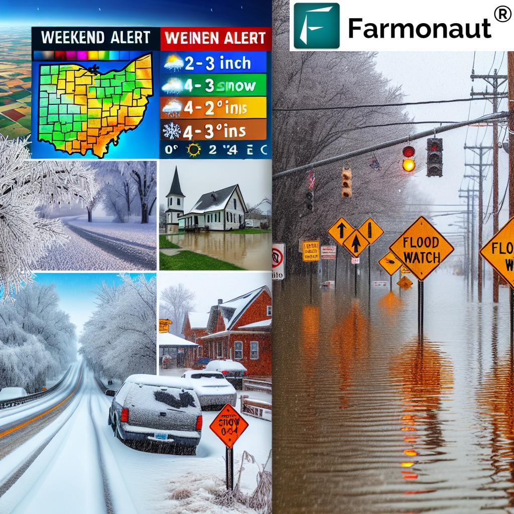
“Ohio faces a dual threat: 3-5 inches of rain in southern areas and 2-4 inches of snow in eastern regions.”
As we brace for a challenging weekend in Ohio, our team at Farmonaut is closely monitoring the evolving weather situation. A complex system of flood watch and winter weather advisory is gripping the state, presenting multiple hazards that demand our immediate attention and preparation. From heavy rainfall to snowfall and plummeting temperatures, we’re facing a weather event that will impact various regions differently.
In this comprehensive guide, we’ll break down the weather alerts, potential impacts, and crucial safety measures for residents across Ohio. Whether you’re in the southern counties facing flood risks or the eastern areas preparing for snow, we’ve got you covered with the latest information and expert advice.
Understanding the Weather Alerts
Let’s start by examining the two primary weather alerts in effect:
- Flood Watch: In place for Southern and Eastern Ohio from Saturday morning to Sunday afternoon.
- Winter Weather Advisory: Active for eastern counties, with mixed precipitation expected.
These alerts highlight the diverse challenges we’re facing across the state. While some regions prepare for potential flooding, others must ready themselves for winter conditions. This dual threat underscores the importance of staying informed and adapting to your specific local forecast.
Regional Impact Breakdown
To help you better understand how these weather conditions might affect your area, we’ve prepared a detailed breakdown of the expected impacts across different regions of Ohio:
| Region | Precipitation Type | Expected Accumulation | Primary Hazards | Safety Recommendations |
|---|---|---|---|---|
| Southern Ohio | Rain | 3-5 inches | Flooding, Flash Floods | Monitor water levels, avoid low-lying areas, prepare for possible evacuation |
| Eastern Ohio | Mixed (Rain, Snow, Ice) | 2-4 inches of snow, light ice glaze | Icy Roads, Poor Visibility | Avoid travel if possible, prepare winter emergency kit |
| Central Ohio | Rain, potentially changing to snow | 1-2 inches of rain, possible light snow | Localized Flooding, Slick Roads | Stay alert for changing conditions, check basement for water intrusion |
| Northern Ohio | Rain, changing to snow | 1-2 inches of rain, light snow possible | Wet Roads, Potential Freezing | Prepare for sudden temperature drops, watch for black ice |
This table provides a quick reference for residents across Ohio to understand the specific risks and preparedness measures relevant to their area. Remember, conditions can change rapidly, so it’s crucial to stay updated with the latest local forecasts.
Detailed Weather Forecast
Let’s dive deeper into the expected weather patterns over the coming days:
Saturday Evening
- Heavy rainfall begins around 8 p.m.
- Isolated thunderstorms possible
- 1-2 inches of rain expected north of I-70
- 2-3 inches of rain likely south of I-70
- Dense fog reducing visibility in many areas
Sunday
- Rain transitioning to snow, especially in eastern counties
- Accumulation of 2-3 inches of snow possible in eastern areas
- Temperatures dropping below freezing
- Risk of icy conditions developing
Monday and Beyond
- Freezing temperatures persisting throughout the week
- Potential for additional snow Wednesday into Thursday
This forecast highlights the rapidly changing conditions we’re expecting. The transition from heavy rain to snow, combined with plummeting temperatures, creates a particularly challenging scenario for residents and farmers alike.
Flood Risk and Preparedness
The flood watch Ohio alert is a serious concern, particularly for southern and eastern counties. With 3 to 5 inches of rainfall expected on already saturated soil, the risk of significant flooding is high. Here’s what you need to know:
- Timing: The flood watch is in effect from Saturday morning through Sunday afternoon.
- Areas at Risk: Low-lying areas, near streams and rivers, and regions with poor drainage are particularly vulnerable.
- Potential Impacts: Flash flooding, river overflow, and water accumulation in urban areas.
To prepare for potential flooding:
- Clear gutters and drains to ensure proper water flow
- Move valuable items to higher ground, especially in basements
- Prepare an emergency kit with essentials
- Stay informed about evacuation routes and local emergency procedures
- Avoid driving through flooded roadways – turn around, don’t drown!
For farmers and agricultural businesses, this heavy rainfall poses significant challenges. Consider using Farmonaut’s satellite-based monitoring tools to track soil moisture levels and potential crop impacts. Our platform can provide valuable insights to help mitigate flood-related risks to your fields.

Winter Weather Advisory and Snow Accumulation
While southern regions prepare for floods, eastern counties face a winter weather advisory with mixed precipitation and potential snow accumulation. Here’s what to expect:
- Total snow accumulations between 2 and 4 inches
- Ice accumulations around a light glaze
- Winds gusting as high as 40 mph
This combination of snow, ice, and strong winds creates hazardous conditions, particularly for travelers. The winter storm preparedness measures you should take include:
- Stocking up on essential supplies, including food, water, and medications
- Preparing your vehicle with winter tires, an emergency kit, and a full tank of gas
- Staying off the roads if possible, especially during the height of the storm
- Keeping devices charged and having alternative power sources ready
- Protecting pipes from freezing temperatures
For our agricultural community, this winter weather poses unique challenges. Farmonaut’s weather forecasting tools can help you plan ahead, protecting sensitive crops and livestock from the impending cold and snow.

Temperature Plunge and Freezing Conditions
“The upcoming weather event in Ohio combines flood risks, snowfall, and freezing temperatures, affecting multiple counties simultaneously.”
One of the most significant aspects of this weather event is the dramatic temperature drop expected. As we transition from heavy rainfall to snow, temperatures will plummet, leading to freezing conditions that will persist throughout the week. This rapid freeze presents several hazards:
- Icy roads and walkways
- Frozen pipes
- Increased energy demand for heating
- Risk to vulnerable populations, including the elderly and homeless
To navigate these freezing temperatures safely:
- Insulate pipes and allow faucets to drip slightly to prevent freezing
- Check on elderly neighbors and ensure they have adequate heating
- Bring pets indoors and provide warm shelter for livestock
- Be cautious of carbon monoxide dangers when using alternative heating sources
- Dress in layers and limit time outdoors to prevent hypothermia and frostbite
For farmers, these freezing conditions can be particularly challenging. Farmonaut’s AI-powered advisory system can provide tailored recommendations for protecting crops and managing resources during this cold spell. Our platform integrates real-time weather data to help you make informed decisions about frost protection and winter crop management.

Visibility Concerns and Travel Safety
As we navigate this complex weather system, visibility will be a significant concern for travelers. Dense fog and heavy precipitation will create hazardous conditions on roads across Ohio. Here’s what you need to know:
- Dense Fog: Expect minimal visibility in many areas, particularly during evening hours
- Heavy Rainfall: Reduced visibility and the risk of hydroplaning on wet roads
- Snowfall: Blowing snow in eastern counties may further impair visibility
To ensure your safety while traveling:
- Use low-beam headlights in fog and heavy precipitation
- Increase following distance between vehicles
- Reduce speed and be prepared to stop suddenly
- Consider postponing non-essential travel until conditions improve
- Keep your vehicle’s windows and mirrors clean for maximum visibility
For those in the agricultural sector who must travel to tend to farms or livestock, Farmonaut’s real-time weather updates can help you plan the safest times for necessary journeys. Our mobile app provides up-to-the-minute forecasts and alerts, ensuring you have the latest information at your fingertips.
Agricultural Impacts and Considerations
For our farming community, this weather event presents a unique set of challenges. Here’s how different aspects of agriculture might be affected:
- Crop Protection: Heavy rainfall followed by freezing temperatures can damage winter crops and impact soil conditions
- Livestock Management: Ensure animals have adequate shelter from both heavy rain and freezing temperatures
- Field Operations: Saturated soil may delay any planned field work or winter preparations
- Infrastructure: Check and reinforce greenhouse structures, storage facilities, and other farm buildings to withstand heavy rain and potential snow loads
Farmonaut’s suite of tools can be invaluable during these challenging weather conditions:
- Use our satellite-based crop health monitoring to assess potential impacts on your fields
- Leverage our AI advisory system for personalized recommendations on protecting your crops and livestock
- Access real-time weather data to make informed decisions about farm operations
- Utilize our resource management tools to optimize your response to these weather challenges
By integrating Farmonaut’s technology into your farm management strategy, you can mitigate risks and protect your agricultural investments during extreme weather events like this.
Long-term Weather Outlook and Preparedness
As we look beyond the immediate weather event, it’s important to consider the long-term implications and prepare accordingly:
- Extended Period of Cold: With freezing temperatures expected to persist throughout the week, be prepared for ongoing challenges related to ice and snow
- Potential for Additional Snow: The forecast suggests more snow may be on the way Wednesday into Thursday
- Gradual Thaw: When temperatures eventually rise, be alert for potential issues related to melting snow and ice
To stay prepared for the evolving weather situation:
- Keep emergency supplies stocked and easily accessible
- Stay informed about changing weather conditions and new advisories
- Plan for potential disruptions to daily routines, including work and school schedules
- Be mindful of the cumulative effects of prolonged cold on infrastructure and utilities
Farmonaut’s weather forecasting capabilities extend beyond short-term predictions. Our platform analyzes historical data and current patterns to provide insights into long-term weather trends, helping farmers and residents alike prepare for what’s to come.
Community Resources and Emergency Contacts
During severe weather events, it’s crucial to know where to turn for help and information. Here are some important resources for Ohio residents:
- Ohio Emergency Management Agency: https://ema.ohio.gov/
- National Weather Service – Ohio: https://www.weather.gov/iln/
- Ohio Department of Transportation: https://www.transportation.ohio.gov/
- Local Red Cross Chapters: https://www.redcross.org/local/ohio.html
Remember, in case of immediate danger or emergency, always call 911.
How Farmonaut Can Help
At Farmonaut, we’re committed to supporting farmers and agricultural businesses through challenging weather conditions. Our platform offers several tools that can be particularly useful during this weather event:
- Real-time Weather Monitoring: Access up-to-the-minute weather data for your specific location
- Crop Health Assessment: Use satellite imagery to monitor the impact of heavy rainfall and freezing temperatures on your fields
- AI-powered Advisories: Receive personalized recommendations for protecting your crops and optimizing farm operations during extreme weather
- Resource Management: Plan efficiently for the challenges posed by flood risks and winter conditions
To learn more about how Farmonaut can help you navigate this weather event and prepare for future challenges, visit our website or download our mobile app.
Explore Farmonaut’s API for detailed weather data integration
Conclusion
As Ohio braces for this complex weather system, staying informed and prepared is crucial. From flood watches in the south to winter advisories in the east, and freezing temperatures across the state, we’re facing a diverse set of challenges. By understanding the risks, taking appropriate precautions, and utilizing resources like Farmonaut’s advanced weather monitoring tools, we can navigate this weather event safely and minimize its impact on our communities and agricultural operations.
Remember, weather conditions can change rapidly. Stay tuned to local news and weather services for the most up-to-date information, and don’t hesitate to reach out to emergency services if you find yourself in a dangerous situation.
Stay safe, Ohio!
FAQs
- Q: How long is the flood watch in effect?
A: The flood watch is in place from Saturday morning to Sunday afternoon for Southern and Eastern Ohio. - Q: What areas are under the winter weather advisory?
A: The winter weather advisory is in effect for eastern counties of Ohio. - Q: How much rainfall is expected?
A: 1-2 inches north of I-70, and 2-3 inches south of I-70, with some areas potentially receiving 3-5 inches. - Q: Will the entire state see snow?
A: While eastern counties are expected to see 2-4 inches of snow, other areas may see a rain-to-snow transition with less accumulation. - Q: How long will the freezing temperatures last?
A: Current forecasts suggest freezing temperatures will persist throughout the entire week.
Stay Connected with Farmonaut
To make the most of Farmonaut’s weather monitoring and agricultural management tools during this challenging time, consider exploring our subscription options:
Earn With Farmonaut: Join our Affiliate Program
Earn 20% recurring commission with Farmonaut’s affiliate program by sharing your promo code and helping farmers save 10%. Onboard 10 Elite farmers monthly to earn a minimum of $148,000 annually—start now and grow your income!
Additional Resources
To further assist you in understanding and utilizing Farmonaut’s capabilities during severe weather events, we’ve prepared some helpful tutorial videos:
This tutorial walks you through the process of downloading weather data using Farmonaut, which can be crucial for making informed decisions during this weather event.
For those looking to integrate Farmonaut’s weather data into their own systems, this comprehensive tutorial on using our API will be invaluable.
Learn how to generate time-lapse imagery, which can help visualize the progression of weather patterns and their impact on your fields.
Discover how to use Farmonaut’s web app to search for farms visited by satellites, a useful tool for monitoring crop health before and after severe weather events.
By leveraging these tools and resources, you’ll be better equipped to face the challenges posed by Ohio’s current weather alert and future meteorological events. Stay safe, stay informed, and let Farmonaut support you through this weather crisis and beyond.