

Agricultural Technology Definition: Drones, Data, and ROI
Reviewed September 2026 against USDA’s Economic Research Service and the Agricultural Drone Directory’s spray-acreage tracking.
Try it: Drone ROI Payback Calculator →
Agricultural technology is the set of tools — sensors, software, satellites, and machinery — that measure a field’s condition and adjust farm inputs to match it, rather than applying the same seed, water, fertilizer, or pesticide rate across an entire farm regardless of variation. Drone technology used in agriculture is the fastest-growing piece of that toolkit: US farmers used spray drones on 16.4 million acres in 2025, up from 3.7 million acres just two years earlier, according to the Agricultural Drone Directory’s spraying statistics. The rest of this article breaks down what counts as agricultural technology, where drones fit against satellites and ground sensors, what the NASA-linked research pipeline behind today’s ag drones looks like, and what return a farm can actually expect.
Agricultural Technology Definition: What Actually Counts
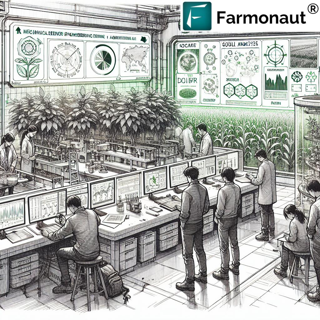
Agricultural technology (often shortened to agtech or agri-tech) covers any applied technology used to increase the quantity, quality, or efficiency of farm production. That includes four broad categories:
- Remote sensing: satellites, drones, and aircraft that capture imagery of crop health, soil moisture, and field boundaries without anyone walking the land.
- Precision application: variable-rate sprayers, seeders, and drones that change how much fertilizer, seed, or pesticide is applied based on that imagery, rather than a flat rate across the field.
- Farm management software: platforms that turn sensor and satellite data into maps, alerts, and yield forecasts a grower can act on.
- Field robotics and automation: autonomous tractors, robotic weeders, and — increasingly — drones that both sense a field and then act on what they find, closing the loop between measurement and application.
That last category is where the advances in agricultural technology are concentrated right now, because a drone that only takes pictures is remote sensing; a drone that samples soil, cuts a leaf for lab analysis, and applies a chemical is doing precision application from the same airframe. That convergence is exactly what a NASA-linked university drone competition, described below, was built to accelerate.
Advance Technology for Agriculture: The NASA Gateways to Blue Skies Pipeline
One concrete channel through which advance technology in agriculture moves from university lab to working prototype is NASA’s Gateways to Blue Skies competition, an annual program that challenges university teams to design aviation solutions for a real-world problem. The program picks one theme a year; the cycle covered in this article was themed “AgAir: Aviation Solutions for Agriculture,” directing teams toward research into new or improved aviation solutions for agriculture specifically.
A team of four mechanical engineering students from South Dakota State University — Laura Peterson, Nathan Kuehl, Keegan Visher, and Nick Wolles, advised by faculty member Todd Letcher — was selected as one of eight finalist schools nationwide for that cycle, advancing to present at NASA’s Armstrong Flight Research Center in Palmdale, California. What distinguished the SDSU entry from a typical engineering capstone was the sequencing: before touching a rotor or airframe, the team completed I-Corps business-development training through the Great Plains Hub and the National Science Foundation, then interviewed roughly 25 farmers, crop consultants, and agronomists across eastern South Dakota and southwestern Minnesota to identify the actual gap in existing drone tools before designing around it.

What the SDSU Drone Prototype Adds Over a Standard Spray Drone
The gap the interviews surfaced was sampling, not just spraying. Most agricultural drones on the market today apply inputs or capture imagery; very few collect a physical soil or tissue sample mid-flight. The SDSU prototype built around that gap, adding:
- A soil probe that collects a physical sample directly from the ground during flight, rather than requiring a technician to walk the field.
- A tissue-sampling mechanism that cuts the topmost fully grown leaf from a plant and stores it onboard for lab analysis.
- Sensors for real-time crop health monitoring layered onto the sampling hardware.
- Precision application capability for fertilizer, pesticide, and herbicide, so the same airframe that samples can also treat.
The distinction matters for anyone evaluating advance technology for agriculture as a purchase decision, not just a research story:
| Capability | SDSU Prototype | Typical Commercial Spray Drone (2025) |
|---|---|---|
| Physical soil sampling | Onboard probe, in-flight collection | Not included; requires separate ground sampling |
| Leaf/tissue sampling | Automated cutting and onboard storage | Not included; visual/multispectral imagery only |
| Precision spraying | Yes, variable-rate | Yes — this is the core function of most units |
| Typical unit cost (2025) | Research prototype, not commercially priced | $5,000–$25,000 per IMARC Group’s US agricultural drone market analysis |
Commercial spray drones already do the “treat” half of that table well — that’s the 16.4 million acres of 2025 spray-drone coverage cited above. What’s still largely absent from off-the-shelf hardware is the “sample and diagnose” half, which is the specific gap advance technology for agriculture is now closing.
Drone Precision Agriculture NASA: Separating the Prototype from the Deployed Fleet
It’s worth being precise about what “NASA” means in a drone-precision-agriculture search. NASA runs the Gateways to Blue Skies competition described above as a workforce and research-pipeline program — the prize for finalists is an internship, and the deliverables are a final paper, an infographic, and a 20-minute presentation to NASA judges and industry reviewers, not a commercial product launch. The publicly available research on remote sensing for precision agriculture that NASA and allied research bodies contribute to is indexed at Science.gov’s precision-agriculture monitoring topic page, which is a reasonable starting point if you want the underlying science rather than a single competition’s output.
What is not yet documented in public sources is which specific NASA Earth Observatory datasets or satellite feeds, if any, have been integrated into commercially sold US agricultural drone systems as of this writing — that link between NASA research and a shrink-wrapped product is the kind of detail a manufacturer’s own technical documentation would need to confirm, and it is not something this article will guess at.
Adoption: How Many US Farms Actually Use This
Impressive prototypes aside, the honest adoption picture is mixed by crop and lags the spray-drone growth curve above. The most authoritative figures come from USDA’s Economic Research Service, drawing on the Agricultural Resource Management Survey (ARMS):
| Crop | Share of US acreage using aerial imagery | Survey year |
|---|---|---|
| Soybeans | 9.8% | 2018 |
| Corn | 7.0% | 2016 |
| Sorghum | 4.6% | 2019 |
| Winter wheat | 3.5% | 2017 |
Source: USDA Economic Research Service, Charts of Note. These are the most recent crop-by-crop figures USDA has published for aerial-imagery adoption; ARMS surveys individual crops on a rotating multi-year cycle, and the agency’s next full update cycle is expected in 2027–2028. If you need a current number for a specific crop, search ERS’s Charts of Note and Data Products sections directly, since a newer release may already supersede the figures above by the time you’re reading this.
Note the gap between that single-digit adoption and the spray-drone acreage figures: the ARMS numbers measure imagery use specifically, while the Agricultural Drone Directory’s 16.4-million-acre figure measures spray-drone treatment, a different and faster-growing use case. A farm can run spray drones without ever pulling aerial imagery for diagnosis, and vice versa — the two data sets are not directly comparable, and no single published figure currently covers “any drone use” across all of US row-crop agriculture.
What It Costs and What It Returns
Two figures anchor the economics for a US grower deciding whether to adopt. On the cost side, IMARC Group’s US agricultural drone market analysis puts advanced agricultural drone hardware at $5,000 to $25,000 per unit, and sizes the total US agricultural drone market at $833 million as of 2025. On the return side, an American Farm Bureau Federation study measured a $12-per-acre return on investment for maize grown with drone-assisted management, cited via MarketsandMarkets’ agriculture drones market report.
IMARC Group’s market analysis and the MarketsandMarkets agriculture drones report are both due for their next annual refresh in the fourth quarter of the year, which is when both firms typically revise their US market-size and forecast figures — check those two links directly for a number newer than the one printed here.
What the $12-per-acre figure does not tell you is your own breakeven point, because that depends on your acreage, your current input spend, and which end of the $5,000–$25,000 hardware range you’re financing. The calculator below runs that math with your numbers, not an industry average.
Drone ROI Payback Calculator
Assumptions: the calculator applies your entered per-acre return uniformly across all acres and years, does not account for maintenance, insurance, pilot labor, or FAA Part 107 certification costs, and assumes the drone remains in service for the full period entered without a mid-life replacement. It excludes financing interest if the hardware is purchased on credit. Use it to compare scenarios, not as a guaranteed farm budget.
Advances in Agricultural Technology: Where the Sampling Function Is Headed
The SDSU entry is one data point in a broader shift toward drones that combine sensing and sampling rather than treating them as separate machines. The direction that shift is heading, based on the design choices visible in current university and industry prototypes, includes:
- On-board AI analysis: processing soil and leaf sensor data during flight rather than after lab return, shortening the time between sampling and a treatment decision.
- Swarm coordination: multiple drones covering a large field in one pass, splitting sampling and spraying tasks between units.
- Broader sensor packages: detecting a wider range of soil and plant-health indicators from the same onboard hardware.
- Increased autonomy: flight paths and sampling points adjusted in real time based on what the drone finds, rather than a fixed pre-programmed route.
- Direct integration with farm management software: sample results flowing straight into the platforms growers already use for input planning.
None of these are commercially deployed at scale as of this writing; they are the logical next steps visible in the current generation of research prototypes, and the honest way to track them is to watch the same competition and market-report channels cited throughout this piece rather than to treat any of the five as already-shipped features.
Where Satellite Monitoring Fits Alongside Drones
Drones and satellites solve different problems and the useful agricultural technology stack usually includes both. A drone gives you a close, high-resolution look at a specific field on the day you fly it; a satellite platform gives you standing, repeat coverage of every field you monitor without a flight to schedule. For growers who want the standing-coverage layer — soil moisture, vegetation health trends, and weather data across a whole operation, not just one field at a time — Farmonaut’s web app and mobile apps provide that satellite-based layer:


Developers building the two layers together — satellite trend data feeding a drone’s sampling schedule, for instance — can pull weather and satellite data directly through Farmonaut’s API, documented in the API Developer Docs.
The Broader Case for Advance Technology in Agriculture
The economic and adoption figures above sit inside a larger argument for why this technology category keeps drawing research funding and market growth: optimized input use lowers the environmental impact of agriculture by targeting fertilizer and pesticide to where they’re actually needed rather than applying a flat rate across a field. That’s the same logic behind precision farming’s broader lineage, traced back through earlier farming innovations that first separated “how much land you farm” from “how precisely you manage each acre of it.” For a wider look at how US agricultural regions are applying these tools in urban and sustainability contexts specifically, see Farmonaut’s coverage of US agriculture technology and sustainable innovation.

A Checklist for Evaluating Any Agricultural Drone Claim
Because “drone technology” and “advance technology for agriculture” get used loosely in marketing copy, here’s a durable way to test any specific product or research claim you encounter, independent of which year you’re reading this:
- Does it sample, apply, or both? A camera-only drone is remote sensing; a spray-only drone is precision application; few products currently do both from one airframe, as the SDSU comparison table above shows.
- Is the adoption figure crop-specific? USDA’s ARMS data above ranges from 3.5% to 9.8% depending on crop — a single blended “adoption rate” number is usually a marketing simplification.
- Is the cost figure a unit price or a market size? $5,000–$25,000 is a per-unit hardware range; $833 million is the entire 2025 US market — don’t compare the two directly.
- Is the ROI figure measured or modeled? The $12-per-acre maize figure above came from an actual American Farm Bureau Federation study, not a vendor projection — ask which one you’re being shown.
- Can you check the source directly? Every figure in this article links back to USDA ERS, the Agricultural Drone Directory, IMARC Group, or MarketsandMarkets — if a claim you encounter elsewhere doesn’t trace to a named source, treat it as unverified.
Earn With Farmonaut: Join Farmonaut’s affiliate program and earn 20% recurring commission by sharing your promo code and helping farmers save 10%. Onboard 10 Elite farmers monthly to earn a minimum of $148,000 annually—start now and grow your income!
FAQs
- Q: What is the agricultural technology definition in plain terms?
A: Any tool — sensor, satellite, drone, or software — that measures a field’s actual condition and lets a farmer adjust inputs to match it, instead of applying the same rate across the whole field. - Q: What drone technology is currently used in agriculture?
A: Mainly precision spraying (16.4 million US acres in 2025, per the Agricultural Drone Directory) and aerial imagery for crop health (3.5%–9.8% of acreage depending on crop, per USDA ERS). Combined sample-and-spray drones, like the SDSU prototype, remain at the research-prototype stage. - Q: How does drone precision agriculture connect to NASA?
A: Through research and workforce programs like NASA’s Gateways to Blue Skies competition, which funds and showcases university prototypes; it is not a NASA-manufactured commercial product line. - Q: What does agricultural drone technology cost and return?
A: Hardware runs $5,000–$25,000 per unit (IMARC Group), against a measured $12-per-acre return for drone-assisted maize management (American Farm Bureau Federation study, via MarketsandMarkets). Run your own acreage through the calculator above for a specific payback estimate. - Q: Where can I check for newer adoption or market figures?
A: USDA ERS’s Charts of Note page updates ARMS crop data on a multi-year cycle (next expected 2027–2028); the Agricultural Drone Directory updates spray-acreage figures quarterly; IMARC Group and MarketsandMarkets typically refresh their US market-size forecasts each Q4.
Discussion
Questions, corrections or field experience? Share them below. First-time comments are reviewed before they appear, and your email is never published.
No comments yet. Be the first to add a question or your experience.

 UCAL Fuel Systems
 Kubota
 FFBS
FFBS Jontra
 Kalustyan
 Tucor
Tucor Geno
Geno Hayleys Agriculture
 Linx Agritech
 Adinet
 Save Your Soils
 Grandstream Algérie
 XOS Realty
 Geospatial Lab Africa
 Agro La Gándara
