Comprehensive Guide: Land Classification by Uses and Utility – Understanding the Diverse Applications of Land Resources
In today’s rapidly evolving world, the management and utilization of land resources have become more critical than ever. As we at Farmonaut continue to innovate in the field of agricultural technology, we recognize the importance of understanding land classification and its various uses. This comprehensive guide delves into the intricate world of land classification based on uses and utility, offering insights that are valuable for farmers, policymakers, urban planners, and anyone interested in the sustainable management of our planet’s precious land resources.
Introduction to Land Classification
Land classification is a systematic categorization of land based on its characteristics, potential uses, and current utility. This process is fundamental in various fields, including agriculture, urban planning, environmental conservation, and economic development. By understanding the classification of land based on uses and classification of land based on utility, we can make informed decisions about land management, resource allocation, and sustainable development.
The Importance of Land Classification
Before we dive into the specifics of land classification, it’s crucial to understand why this process is so important:
- Resource Management: Proper classification helps in the efficient allocation and management of land resources.
- Sustainable Development: It aids in balancing economic growth with environmental conservation.
- Agricultural Planning: Farmers and agricultural planners can make informed decisions about crop selection and farming practices.
- Urban Development: It guides urban planners in zoning decisions and infrastructure development.
- Environmental Protection: Helps in identifying and protecting ecologically sensitive areas.
- Economic Valuation: Assists in determining land value for taxation and investment purposes.
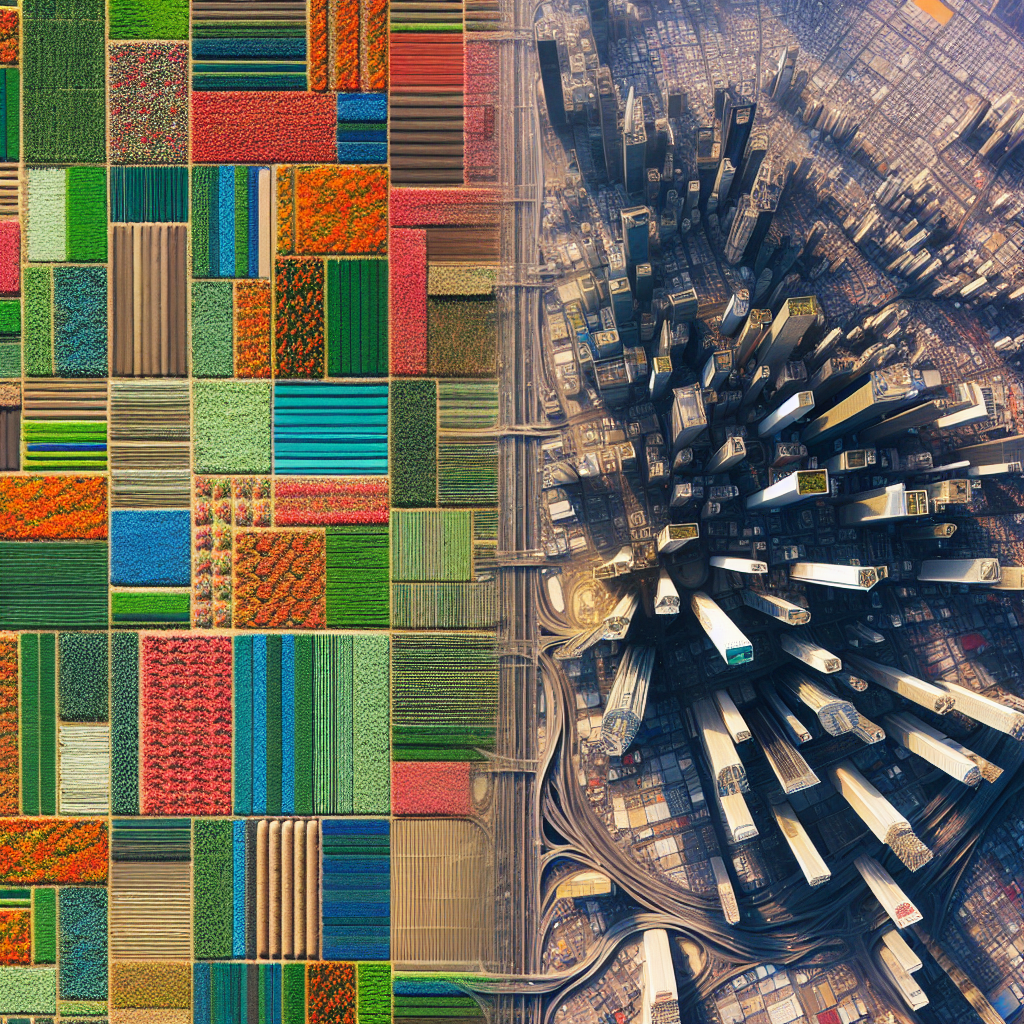
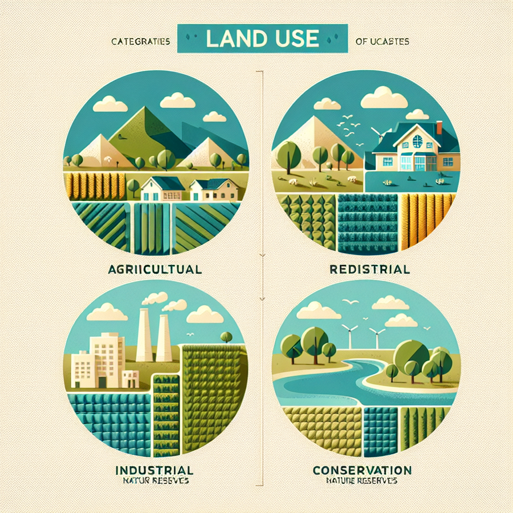
Classification of Land Based on Uses
The classification of land based on uses is a fundamental approach to understanding how different types of land are utilized. This classification system categorizes land according to its primary function or the way it is being used. Let’s explore the main categories:
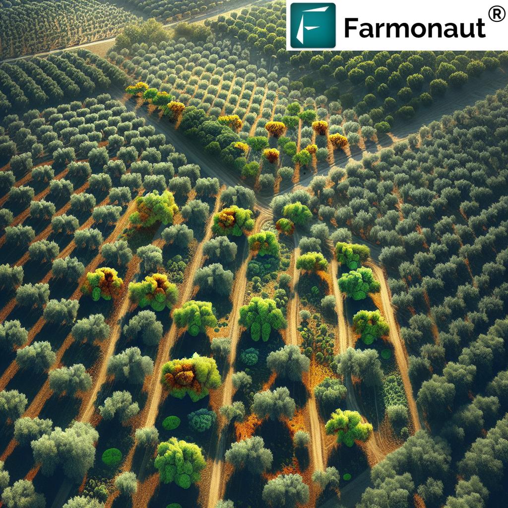
1. Agricultural Land
Agricultural land is primarily used for farming and food production. It can be further classified into:
- Arable Land: Used for growing crops
- Pasture Land: Used for grazing livestock
- Orchards and Plantations: Used for growing fruits, nuts, and other tree crops
At Farmonaut, we specialize in providing satellite-based solutions for agricultural land management. Our advanced crop monitoring system helps farmers optimize their agricultural practices, leading to improved yields and sustainable farming.
2. Residential Land
This category includes land used for housing and living purposes. It can be subdivided into:
- Urban Residential: High-density housing in cities
- Suburban Residential: Lower-density housing in suburbs
- Rural Residential: Housing in rural areas
3. Commercial Land
Commercial land is used for business and trade activities. It includes:
- Retail Spaces: Shopping centers, malls, and stores
- Office Buildings: Corporate offices and business parks
- Hotels and Restaurants
4. Industrial Land
This category encompasses land used for manufacturing, processing, and production activities. It includes:
- Factories and Manufacturing Plants
- Warehouses and Distribution Centers
- Mining and Extraction Sites
5. Recreational Land
Recreational land is designated for leisure and entertainment purposes. It includes:
- Parks and Public Gardens
- Sports Facilities
- Campsites and Picnic Areas
6. Transportation Land
This category includes land used for various transportation infrastructure:
- Roads and Highways
- Railways
- Airports and Seaports
7. Conservation Land
Conservation land is set aside for environmental protection and preservation. It includes:
- Nature Reserves and Wildlife Sanctuaries
- National Parks
- Protected Forests
Classification of Land Based on Utility
While the classification of land based on uses focuses on the current function of the land, the classification of land based on utility considers the potential or inherent value of the land. This classification is particularly important for long-term planning and resource management. Here are the main categories:
1. Productive Land
Productive land has the capacity to generate economic value. It includes:
- Agricultural Productive Land: Suitable for crop cultivation or livestock rearing
- Forestry Productive Land: Suitable for timber production
- Mineral Productive Land: Contains valuable mineral resources
At Farmonaut, our satellite-based crop monitoring system is particularly useful for assessing and managing productive agricultural land. Our API provides valuable data that can help in determining the productivity potential of different land areas.
2. Protective Land
Protective land serves to safeguard natural resources and ecological balance. It includes:
- Watershed Protection Areas
- Coastal Protection Zones
- Erosion Control Areas
3. Urban and Built-up Land
This category includes land that has been developed for urban or rural settlements and infrastructure. It encompasses:
- Residential Areas
- Commercial and Industrial Zones
- Transportation Networks
4. Barren Land
Barren land has limited utility for economic activities. It includes:
- Desert Areas
- Rocky Terrains
- Areas with Extreme Climate Conditions
5. Water Bodies
This category includes various types of water resources:
- Rivers and Lakes
- Coastal Waters
- Wetlands
Uses of Land: A Detailed Exploration
Understanding the various uses of land is crucial for effective land management and sustainable development. Let’s delve deeper into how different types of land are utilized:
1. Agricultural Uses
Agricultural land use is one of the most significant categories, playing a vital role in food security and economic development. The uses include:
- Crop Cultivation: Growing various types of food crops, cash crops, and fodder
- Animal Husbandry: Raising livestock for meat, dairy, and other animal products
- Horticulture: Cultivation of fruits, vegetables, flowers, and ornamental plants
- Agroforestry: Combining agriculture and forestry practices
Farmonaut’s technology is particularly beneficial in optimizing agricultural land use. Our Android and iOS apps provide farmers with real-time data on crop health, helping them make informed decisions about land utilization.
2. Residential Uses
Residential land use caters to housing needs and includes:
- Single-Family Homes
- Multi-Family Dwellings (Apartments, Condominiums)
- Mixed-Use Developments (Combining Residential and Commercial Spaces)
3. Commercial Uses
Commercial land use supports business activities and economic growth:
- Retail Stores and Shopping Centers
- Office Buildings and Business Parks
- Hotels and Hospitality Services
- Entertainment Venues (Theaters, Amusement Parks)
4. Industrial Uses
Industrial land use is crucial for manufacturing and production:
- Manufacturing Plants
- Processing Facilities
- Warehouses and Distribution Centers
- Research and Development Facilities
5. Recreational Uses
Recreational land use contributes to community well-being and quality of life:
- Public Parks and Gardens
- Sports Fields and Stadiums
- Nature Trails and Camping Grounds
- Golf Courses and Recreational Centers
6. Conservation Uses
Conservation land use is essential for environmental protection:
- National Parks and Wildlife Reserves
- Protected Forests and Wetlands
- Biodiversity Conservation Areas
- Ecological Restoration Sites
7. Transportation Uses
Transportation land use facilitates movement and connectivity:
- Road Networks and Highways
- Railway Tracks and Stations
- Airports and Airfields
- Ports and Harbors
8. Institutional Uses
Institutional land use supports public services and community needs:
- Educational Institutions (Schools, Universities)
- Healthcare Facilities (Hospitals, Clinics)
- Government Buildings
- Religious Institutions
The Role of Technology in Land Classification and Management
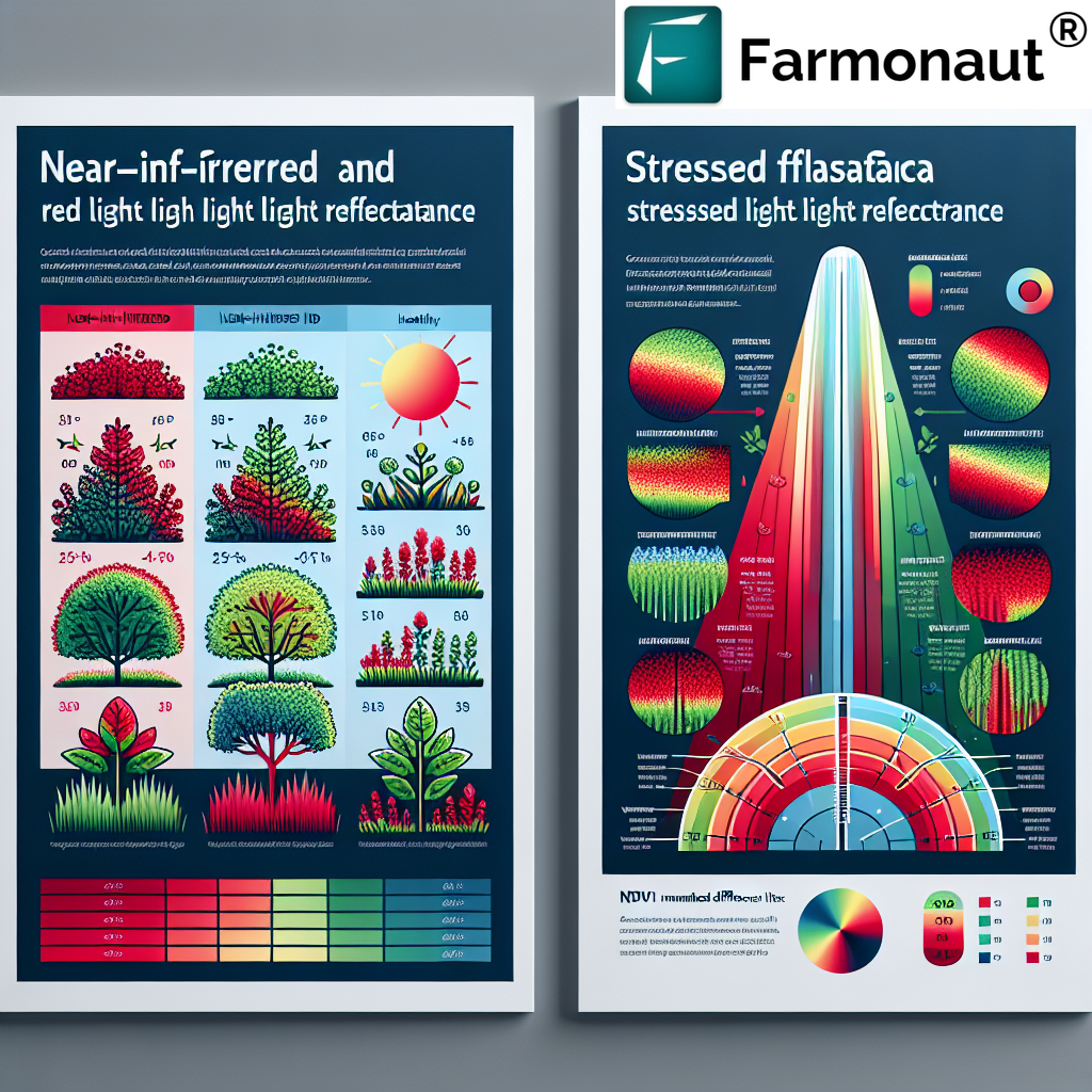
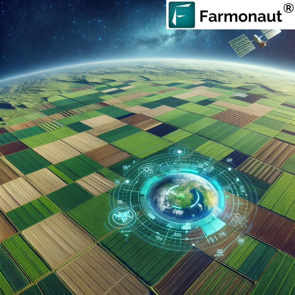
In the modern era, technology plays a crucial role in land classification and management. At Farmonaut, we leverage cutting-edge satellite technology and artificial intelligence to provide advanced solutions for land management, particularly in the agricultural sector.
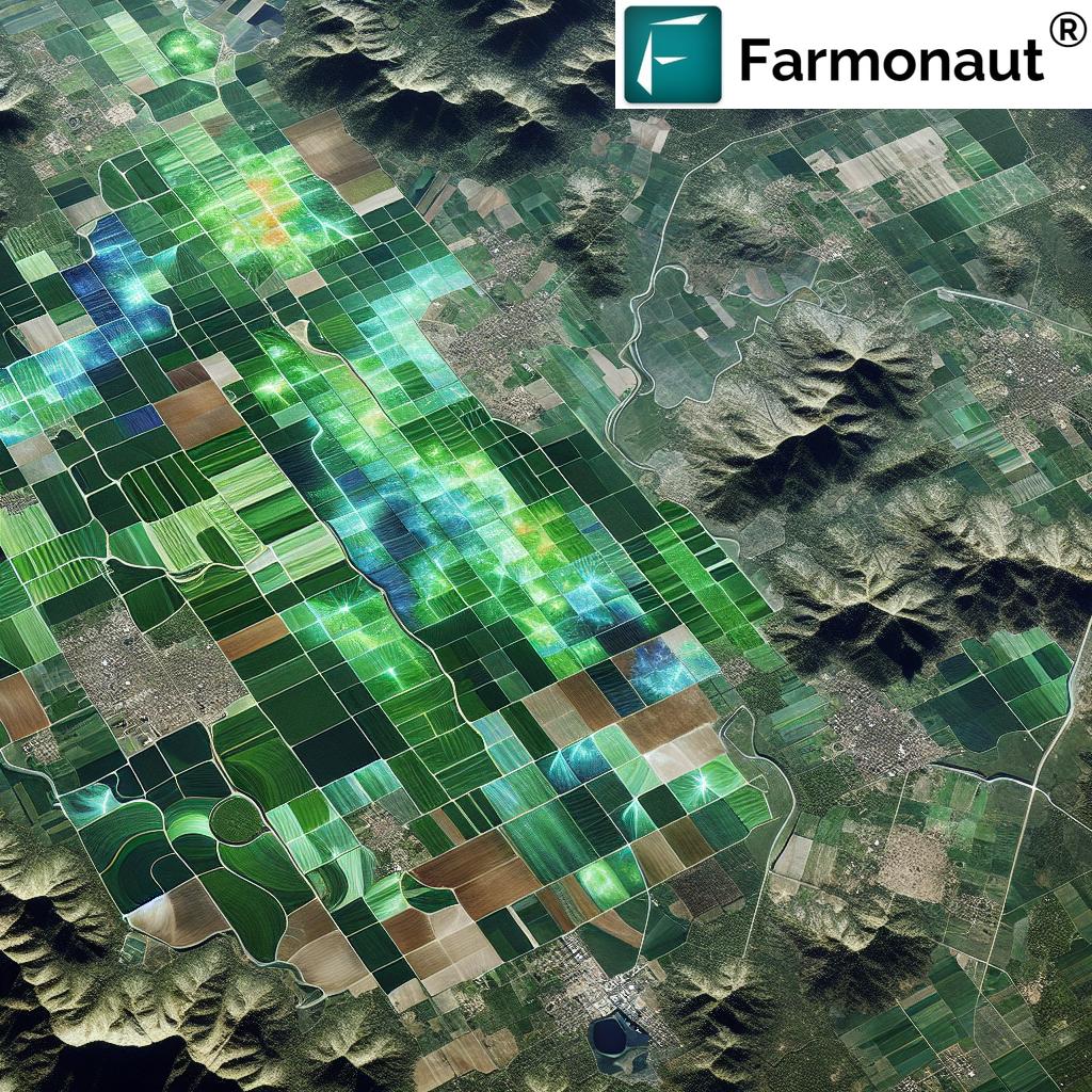
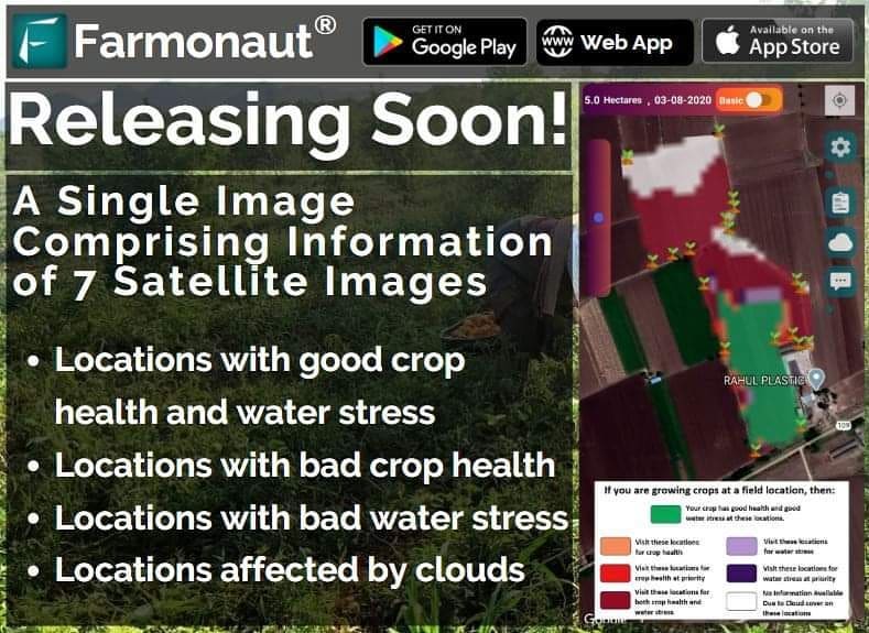
Satellite-Based Monitoring
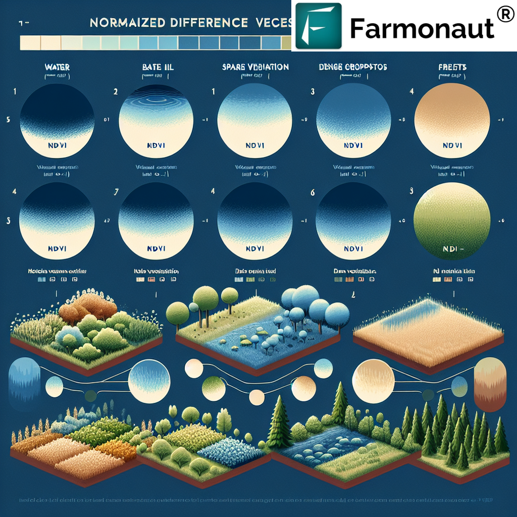
Our satellite-based monitoring system offers several advantages over traditional methods:
- Real-time Data: Continuous monitoring of land conditions
- Wide Coverage: Ability to monitor large areas efficiently
- Precision: High-resolution imagery for detailed analysis
- Cost-Effectiveness: Reduced need for on-ground surveys
AI-Powered Analysis
Our AI algorithms analyze satellite data to provide valuable insights:
- Crop Health Assessment
- Soil Moisture Analysis
- Yield Prediction
- Land Use Change Detection
Integration with GIS
We integrate our data with Geographic Information Systems (GIS) for comprehensive land management:
- Spatial Analysis of Land Use Patterns
- Mapping of Land Resources
- Decision Support for Land Use Planning
Challenges in Land Classification and Management
Despite technological advancements, several challenges persist in land classification and management:
- Rapid Urbanization: Changing land use patterns and loss of agricultural land
- Climate Change: Altering land suitability and productivity
- Land Degradation: Soil erosion, deforestation, and desertification
- Conflicting Land Uses: Balancing economic development with environmental conservation
- Data Accuracy: Ensuring the reliability of land classification data
Future Trends in Land Classification and Use
As we look to the future, several trends are shaping the landscape of land classification and use:
- Precision Agriculture: Tailoring farming practices to specific land characteristics
- Smart Cities: Integrating technology for efficient urban land use
- Sustainable Land Management: Emphasizing eco-friendly practices
- Big Data in Land Use Planning: Leveraging large datasets for informed decision-making
- Climate-Resilient Land Use: Adapting land use strategies to climate change
Farmonaut’s Contribution to Sustainable Land Management
At Farmonaut, we are committed to promoting sustainable land management practices, particularly in agriculture. Our advanced satellite-based solutions offer several benefits:
- Optimized Resource Use: Helping farmers use water and fertilizers more efficiently
- Early Problem Detection: Identifying crop health issues before they become severe
- Precision Farming: Enabling targeted interventions based on specific land conditions
- Yield Optimization: Maximizing productivity while minimizing environmental impact
Our Satellite Weather API provides developers with access to crucial data for building innovative agricultural solutions.
Comparison: Farmonaut Satellite System vs. Drone and IoT-based Farm Monitoring
| Feature | Farmonaut Satellite System | Drone-based Monitoring | IoT-based Monitoring |
|---|---|---|---|
| Coverage Area | Large scale (Thousands of hectares) | Medium scale (Hundreds of hectares) | Small scale (Tens of hectares) |
| Data Frequency | Daily to weekly updates | On-demand (limited by flight regulations) | Continuous (limited by sensor battery life) |
| Initial Setup Cost | Low | High (Drone purchase and training) | Medium (Sensor deployment) |
| Operational Complexity | Low (Automated data collection) | High (Requires skilled operators) | Medium (Maintenance of sensors) |
| Weather Dependency | Low (Can penetrate clouds) | High (Limited by weather conditions) | Low (Continuous operation) |
| Data Analysis | Advanced AI-powered analytics | Requires separate image processing | Real-time but limited to sensor locations |
| Scalability | Highly scalable | Limited by operational constraints | Requires additional hardware for scaling |
Conclusion
Understanding the classification of land based on uses and utility is crucial for sustainable development and effective resource management. As we navigate the challenges of the 21st century, including climate change, food security, and rapid urbanization, the importance of informed land use decisions cannot be overstated.
At Farmonaut, we are proud to be at the forefront of technological innovation in land management, particularly in the agricultural sector. Our satellite-based solutions provide farmers, policymakers, and land managers with the tools they need to make informed decisions about land use and resource allocation.
As we look to the future, the integration of advanced technologies like satellite imaging, AI, and big data analytics will play an increasingly important role in shaping our approach to land classification and management. By embracing these innovations and committing to sustainable practices, we can ensure that our land resources are used efficiently and responsibly for generations to come.
FAQs
- Q: What is the primary purpose of land classification?
A: The primary purpose of land classification is to categorize land based on its characteristics, potential uses, and current utility. This helps in efficient resource management, sustainable development, and informed decision-making in various sectors including agriculture, urban planning, and conservation. - Q: How does Farmonaut’s technology contribute to land management?
A: Farmonaut’s satellite-based technology provides real-time data on crop health, soil moisture, and other critical parameters. This enables farmers and land managers to make informed decisions about resource allocation, crop selection, and farming practices, leading to more efficient and sustainable land use. - Q: What are the main categories in the classification of land based on uses?
A: The main categories include Agricultural Land, Residential Land, Commercial Land, Industrial Land, Recreational Land, Transportation Land, and Conservation Land. - Q: How does the classification of land based on utility differ from classification based on uses?
A: Classification based on utility focuses on the potential or inherent value of the land, while classification based on uses focuses on the current function or application of the land. Utility classification includes categories like Productive Land, Protective Land, Urban and Built-up Land, Barren Land, and Water Bodies. - Q: What are some of the challenges in land classification and management?
A: Some key challenges include rapid urbanization, climate change impacts, land degradation, conflicting land uses, and ensuring data accuracy in classification. - Q: How does satellite technology improve land classification compared to traditional methods?
A: Satellite technology offers advantages such as real-time data collection, wide coverage areas, high precision, and cost-effectiveness compared to traditional on-ground surveys. - Q: Can Farmonaut’s technology be used for non-agricultural land management?
A: While Farmonaut specializes in agricultural applications, our satellite imagery and data analysis techniques can potentially be adapted for other land management purposes, such as urban planning or environmental monitoring. - Q: How often is land classification data updated?
A: The frequency of updates can vary depending on the classification system and technology used. With Farmonaut’s satellite-based system, data can be updated daily to weekly, providing near real-time information for agricultural land. - Q: What role does AI play in Farmonaut’s land classification and management solutions?
A: AI plays a crucial role in analyzing satellite imagery, detecting patterns, assessing crop health, predicting yields, and providing actionable insights for land management. - Q: How can individuals or organizations access Farmonaut’s land management tools?
A: Farmonaut’s tools are accessible through our web and mobile applications. We also offer API access for developers looking to integrate our data into their own systems. Interested parties can visit our website or contact us directly for more information on accessing our services.
For more information on how Farmonaut can help you with sustainable land management and precision agriculture, please visit our website or contact our team of experts.