Wildfire Technology: 7 Game-Changers You Must See!
- Summary & Introduction
- Trivia
- Advancements in Wildfire Detection and Monitoring
- 7 Game-Changing Wildfire Technologies
- Comparative Feature Table of Wildfire Detection Technologies
- Key Challenges and Considerations
- Future Directions: Where is Wildfire Tech Headed?
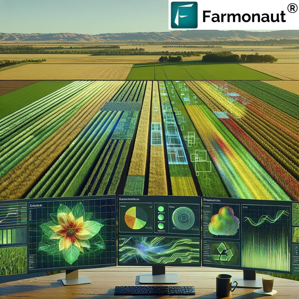
- Farmonaut: Empowering Resilient Agriculture
- Frequently Asked Questions (FAQ)
- Conclusion


“AI-powered wildfire detection systems can analyze satellite data up to 100 times faster than traditional manual methods.”
Wildfire Technology: 7 Game-Changers You Must See!
Wildfires, as we all know, are more than just a natural phenomenon—they are a formidable threat to agriculture, forestry, farming, and remote communities. The frequency, unpredictability, and intensity of wildfires have only increased in recent years, exacerbated by climate change, land management issues, and urban expansion. For us in the agricultural and forestry sectors, these challenges are not abstract. They directly endanger our crops, soil, livelihoods, ecosystems, and the very future of sustainable agriculture and forestry management.
Fortunately, technology and innovation are stepping up to transform how we predict, detect, monitor, prevent, and suppress wildfires. New tools—ranging from satellites and remote sensing to AI-driven analytics, IoT-enabled sensor networks, drones, decision-aid systems, and forestry mulching equipment—are revolutionizing wildfire management. At Farmonaut, we believe that the smart integration of these advanced wildfire detection technologies is central to safeguarding vital natural resources and agricultural assets, keeping communities safer, and ensuring a resilient future.
In this comprehensive, informative guide, we’ll explore the seven game-changing wildfire technologies you absolutely must know about—each one reshaping how we tackle wildfire threats in agriculture, forestry, and remote areas. We’ll share practical insights, examine the benefits of combining traditional methods with technological advancements, and highlight the real-world impact of these innovations.
Advancements in Wildfire Detection and Monitoring: A New Era
Early wildfire detection and rapid response are critical for effective wildfire management, especially when vast agricultural or forestry expanses and remote areas are involved. Traditional wildfire detection methods have inherent limitations—they may lack real-time insights, rely on manual patrolling, or fail to provide the spatial granularity needed to inform timely interventions. However, advances in remote sensing, artificial intelligence, big data, and sensor technology are changing the game.
Let’s examine the landscape of recent innovations and how they’ve revolutionized wildfire management for agriculture, farming, and forestry professionals worldwide.
The 7 Game-Changers in Wildfire Technology
- Satellite Remote Sensing
- Artificial Intelligence & Machine Learning
- Unmanned Aerial Vehicles (Drones)
- Internet of Things (IoT) & Sensor Networks
- Fire Management Decision-Aid Tools
- Forestry Mulching
- Integrated Approaches & Proactive Strategies
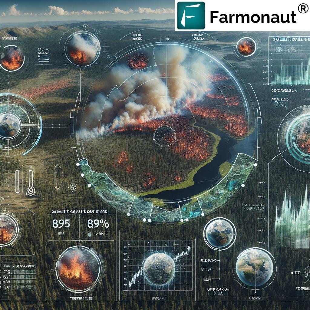
1. Satellite Remote Sensing: Eyes in the Sky for Wildfire Detection
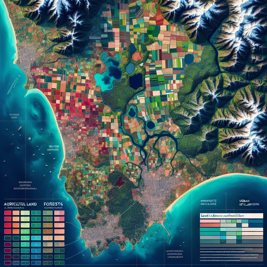
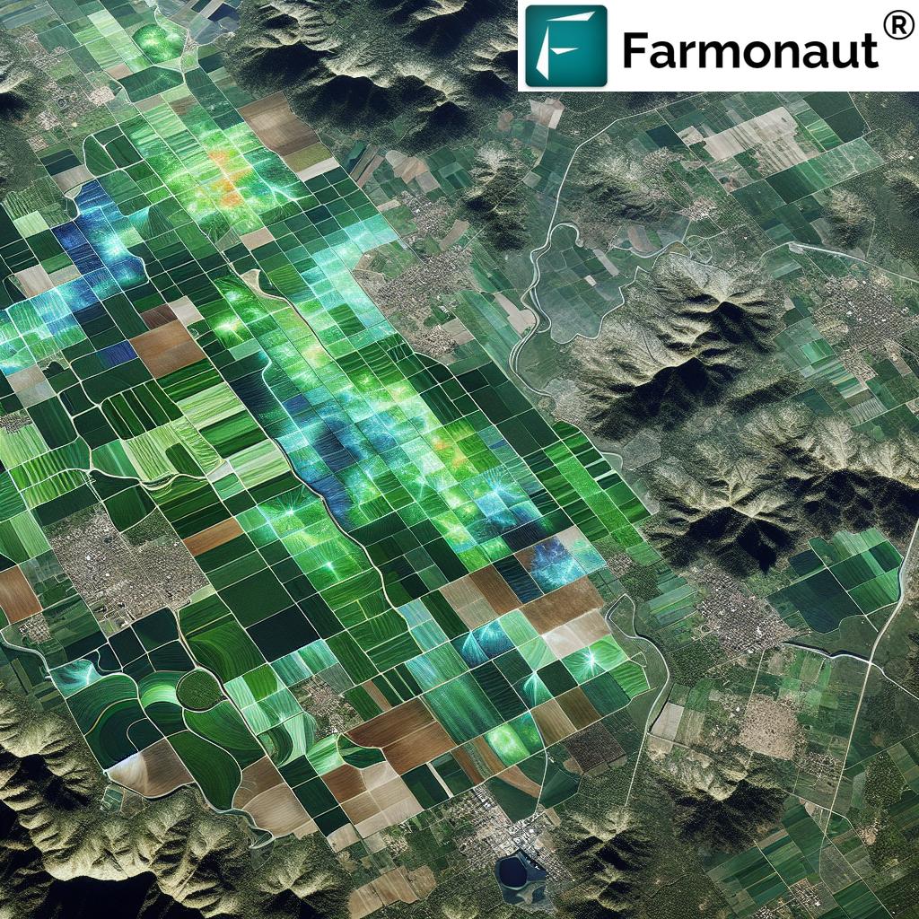
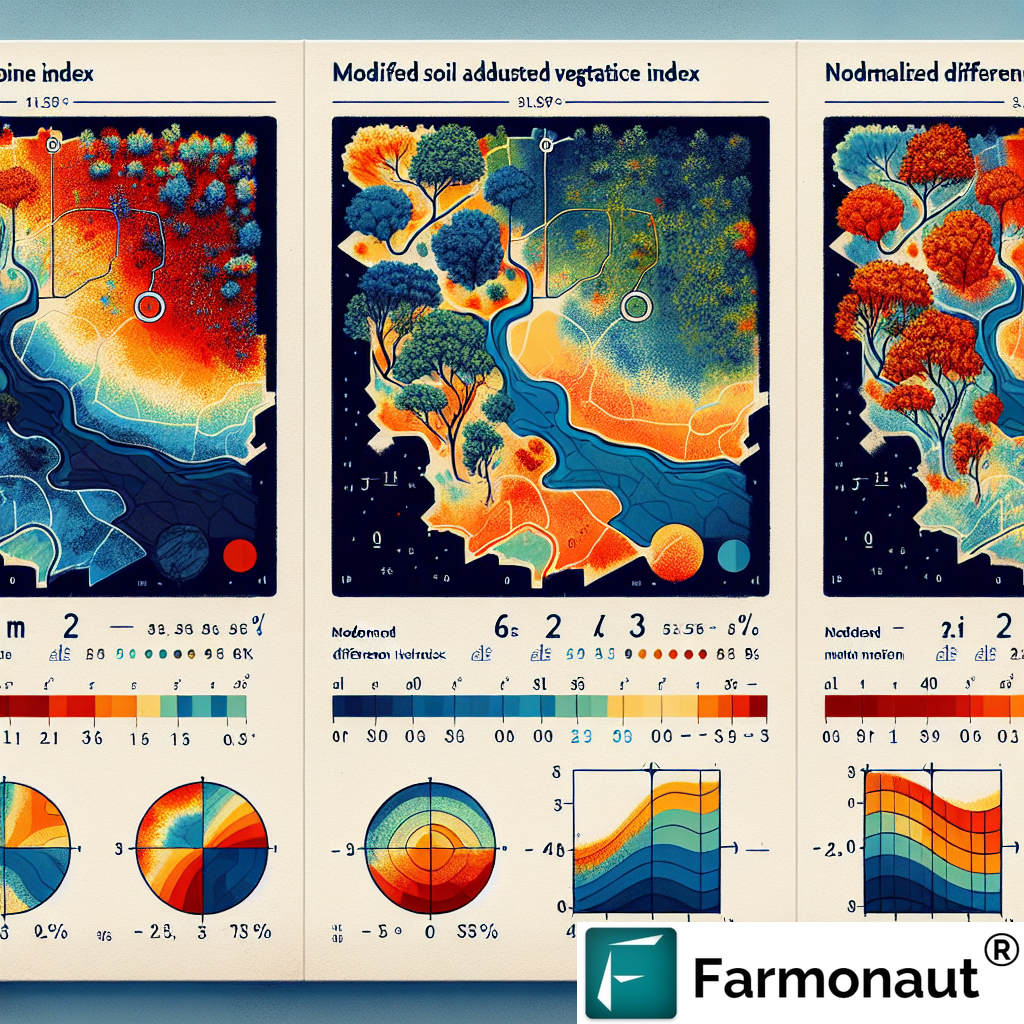
Satellite remote sensing is at the heart of today’s advanced wildfire detection technologies. By leveraging satellites like AVHRR (Advanced Very High Resolution Radiometer), MODIS (Moderate Resolution Imaging Spectroradiometer), VHRS, and LANDSAT, we can conduct continuous, broad-area vegetation and fire monitoring globally.
- How It Works: Advanced sensors detect subtle changes in vegetation density, temperature, and smoke plumes—providing actionable data in near-real time.
- Game-Changer: Enables remote sensing for wildfire detection even in ultra-remote, mountainous, or inaccessible regions.
- Limitations: The dynamic nature of fire, cloud cover, and the spatial/temporal resolutions of satellite imagery present challenges for predicting wildfire events with 100% accuracy.
- Leading Solutions: Farmonaut’s platform integrates multispectral satellite imagery to monitor crop health, vegetation stress, and fire incidence, supporting smarter, data-driven wildfire management and agricultural wildfire prevention strategies.
You can access advanced monitoring through the Farmonaut Large Scale Farm Management App, which makes remote satellite wildfire monitoring straightforward for every stakeholder—individual farmers, agribusinesses, and government agencies.
2. AI in Wildfire Prediction: Making Sense of Big Data
Artificial Intelligence (AI) and machine learning (ML) are revolutionizing how we analyze satellite and sensor data for wildfire prediction. Historically, the sheer volume of environmental data made early detection slow and complex. With AI, we process gigabytes of information from diverse sources instantaneously for highly accurate forecasts.
- AI models analyze patterns such as smoke emergence, fire incidence, and variations in vegetation health to forecast wildfire risk and spread in specific regions and soil types.
- Machine learning algorithms consider physical forest parameters, disturbances, and environmental conditions (wind, humidity, and temperature) to deliver early warnings.
- AI-powered systems have demonstrated the ability to reduce wildfire detection times and improve the accuracy of fire occurrence predictions—crucial for mitigating wildfire threats in agricultural and remote areas.
Farmonaut’s Jeevn AI Farm Advisory System exemplifies this trend—delivering real-time, personalized management strategies, weather forecasts, and crop/soil risk status to users by analyzing satellite and ground data. Learn more about the benefits of AI-based agricultural advisory and wildfire risk minimization with Farmonaut’s Platform.
“Over 60% of new wildfire management tools now use real-time satellite imagery for early detection and response.”
3. UAVs and Drones for Wildfire Suppression
Unmanned aerial vehicles (UAVs)—commonly known as drones—are redefining what’s possible in wildfire suppression, detection, and monitoring.
- Agility & Accessibility: Drones equipped with infrared cameras, thermal sensors, and high-resolution optics can fly over challenging terrains, offering real-time data on fire behavior, wind direction, and temperature hotspots.
- Mapping & Precision: They efficiently map fire perimeters, identify fire origins and hidden embers, assess vegetation disturbance, and even deliver fire-retardants or water with pinpoint accuracy—an invaluable tool for hard-to-reach or expansive areas.
- Cost and Efficiency: Their relatively low operational costs, flexibility, and swift deployment make them a vital component of modern wildfire management strategies.
By integrating UAV-captured imagery with data-driven decision-making platforms like Farmonaut, we deliver an ecosystem-wide, responsive approach to forest fire and agricultural wildfire prevention strategies—bridging the gap between remote data and actionable field intelligence.
4. IoT Wildfire Monitoring Systems & Sensor Networks
Internet of Things (IoT wildfire monitoring systems) and integrated sensor networks have unlocked the potential for hyper-local, continuous environmental monitoring.
- Continuous Vigilance: Sensors—embedded in forests, near fields, or installed in key agricultural locations—constantly measure temperature, humidity, soil moisture, atmospheric pressure, and wind speed.
- Early & Automated Responses: These sensor networks can rapidly detect anomalies (unusual temperature spikes, sudden humidity drops, or smoke) that signal fire risks. When combined with real-time AI analysis, they can trigger automated responses like activating irrigation, bombarding the area with water, or alerting authorities and farmers’ communities.
- Cost-Effectiveness: IoT solutions offer scalable installation and maintenance options for both large-scale forestry operations and smallholder agricultural enterprises.
These networks are vital in regions where human surveillance is challenging. As we integrate these IoT systems with advanced satellite and drone data—such as Farmonaut’s precision agriculture insights—we strengthen the resilience of our farming, forestry, and remote communities.
5. Fire Management Decision-Aid Tools: Bridging Knowledge & Action
Technological innovation in wildfire management isn’t just about hardware and data streams. It’s also about empowering us with smarter, context-rich fire management decision-aid tools.
- Integrated Intelligence: Modern decision-aid platforms merge fire danger rating systems, real-time environmental data, and indigenous fire management knowledge into one unified analytics dashboard.
- Planning & Response: These systems help us prioritize interventions, optimize resource deployment, and adapt strategies according to rapidly changing wildfire behavior, especially in high-risk agricultural and forestry zones.
- Local Relevance: The Farmonaut Crop Plantation, Forest & Advisory platform exemplifies the integration of scientific models with local knowledge for personalized, field-specific action plans.
By combining traditional and local fire management practices with advanced scientific models, we curate more accurate, effective, and respectful wildfire management strategies.
6. Forestry Mulching for Wildfire Prevention: Fuel Reduction in Action
Among the most effective wildfire prevention methodologies is forestry mulching. This proactive land management technique mechanically grinds excess vegetation—trees, brush, and undergrowth—into organic mulch.
- Why Mulching Works: By reducing the volume of combustible material (fuel loads), forest mulching interrupts potential fire pathways and limits fire intensity and spread.
- Ecological Benefits: Mulched organic matter returns to the soil, improving soil quality, reducing erosion, and enhancing the structure and fertility necessary for healthy recovery after a fire event.
- Wildland-Agriculture Interface: This approach is particularly effective at creating firebreaks where farms meet forests or wildlands, raising landscape-level resilience for both agricultural and forestry ecosystems.
See how integrating carbon footprinting insights with mulching and other land management practices can further improve sustainability across agriculture and forestry.
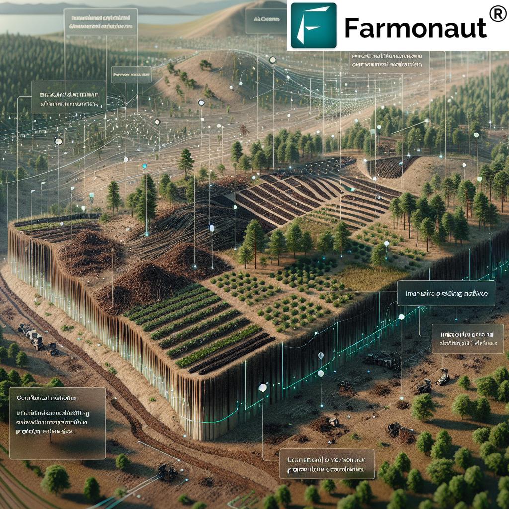
7. Integrated Approaches: Combining the Power of All Technologies
The most effective wildfire management solutions combine the strengths of all the above technologies. By integrating satellite remote sensing, real-time sensor networks, AI-driven prediction, UAV insights, forestry mulching, and decision-support systems, we create a holistic defense against wildfire threats.
- Enable cross-verification of fire risks using multiple data layers
- Support precision, scalable response strategies (targeting the right area with the right method)
- Ensure that agricultural assets, forestry resources, and communities stay protected and sustainable
Farmonaut’s platform exemplifies this integration by bringing together satellite-based monitoring, AI-based advice, blockchain-backed traceability (traceability solutions for supply chain integrity), fleet management for efficient response logistics, and support for environmental impact monitoring—all customizable for user, location, and risk level.
“Over 60% of new wildfire management tools now use real-time satellite imagery for early detection and response.”
Comparative Feature Table: 7 Advanced Wildfire Detection Technologies
| Technology Name | Description | Key Features | Estimated Detection Speed | Area of Coverage (sq km) | Application Area | Estimated Impact Level |
|---|---|---|---|---|---|---|
| Satellite Remote Sensing | Monitoring vegetation health, temperature, and fire anomalies from space | Wide-area, real-time data; multispectral imaging; remote access | 10–30 min | Millions | Forestry, Agriculture, Remote Areas | High |
| Artificial Intelligence & Machine Learning | AI/ML models analyze big data for wildfire prediction and risk mapping | Data-driven predictions; adaptive learning; can process diverse factors | Instant (post data capture) | Scalable to millions | All | High |
| Unmanned Aerial Vehicles (Drones) | Deployable for fire mapping, hotspot detection, situational analysis | Real-time imaging; precision targeting; access to difficult terrain | 1–5 min (per flight) | 10–1,000 per sortie | Forestry, Agriculture, Remote Areas | High |
| IoT & Sensor Networks | Deployable in field for continuous environmental monitoring | Constant data flow; local alerts; real-time automation | Seconds–minutes | Local to mid-scale (up to 10,000) | Agriculture, Forestry, Remote Areas | Medium–High |
| Fire Decision-Aid Tools | Integrated dashboards for strategy & resource planning | Synthesizes data with local knowledge; user friendly interfaces | Real-time | User-defined (local to regional) | All | High |
| Forestry Mulching | Mechanical fuel reduction via mulching vegetation/undergrowth | Reduces fuel loads; creates firebreaks; improves soil | N/A (Prevention) | Local to regional | Forestry, Agricultural Edges | Medium–High |
| Integrated Approaches | Synergy of remote sensing, AI, IoT, UAVs, mulching, and local practices | Cross-verification; centralized command; resource-efficient | Seconds–Hours (depending on tech blend) | Multi-scale | All | High |
Explore the Farmonaut Satellite & Weather Data API and check out the
API Developer Docs to power your app or research with advanced, field-ready data.
Key Challenges and Considerations in Wildfire Tech Implementation
While integrating these advanced wildfire detection technologies and methodologies brings immense benefits, there are important challenges and considerations we all must navigate:
- Implementation & Upfront Costs: High-tech sensors, satellite feeds, and sophisticated AI tools have initial costs that may be out of reach for some smallholder farmers or local forestry managers.
- Training and Adaptation: Effective use of cutting-edge systems requires ongoing training so users—from frontline fire crews to remote agricultural communities—can leverage them properly.
- Over-Reliance on Technology: While automation is critical, traditional wildfire prevention methods (like routine firebreak maintenance and community patrols) remain irreplaceable for cultural, practical, and redundancy reasons.
- Data Integration Complexity: Combining datasets from satellites, UAVs, IoT sensors, and other sources can be complex and require specialized software.
- Equity and Accessibility: Ensuring equal access to wildfire tech, regardless of geography or farm size, remains a priority.
- Environmental Trade-offs: Some interventions, like intensive forestry mulching, must be balanced with ecosystem health and biodiversity considerations.
At Farmonaut, we keep these challenges front-of-mind as we build solutions for our diverse stakeholders—from small Indian farming communities to large plantation managers globally.
Future Directions: Where is Wildfire Technology Headed?
The momentum in wildfire technology is building—driven by continued integration and innovation:
- AI + Drone Swarms: Next-gen deployable UAV fleets coordinated by AI will further reduce detection times and enable intervention at the earliest sign of fire.
- Affordable Precision: Cost curves are dropping for sensors, analytics, and satellite imagery, making world-class wildfire management accessible even for smaller farms and remote forestry cooperatives.
- Enhanced Collaboration: Seamless data sharing between technologists, scientists, and local communities will ensure context-specific and culturally-appropriate strategies—strengthening long-term resilience.
- User-Friendly Tools: Expect to see more mobile-first, AGI-powered dashboards that empower even non-technical users to implement advanced wildfire prevention methodologies.
- Sustainable Practices: Combining carbon tracking, traceability, and resource-efficient interventions will ensure that our carbon reduction goals are met while also protecting vital agricultural assets.
If you’re seeking a future-proof toolkit, check out Farmonaut’s Large Scale Farm Management App and our crop plantation, forest advisory services.
Farmonaut: Empowering Agriculture and Forestry in the Era of Wildfires
Farmonaut stands as a pioneering force in making precision agriculture, wildfire management, and sustainable land practices affordable and accessible to every farming and forestry stakeholder. Our platform—inclusive of Android, iOS, browser app, and API (learn more about API access here)—integrates the 7 game-changing wildfire technologies discussed above (and more).
- Real-Time Crop Health Monitoring: Multispectral satellite imagery to detect early changes in vegetation, soil moisture, and fire risk zones—actionable for precise management decisions and timely interventions.
- AI-Based Advisory: Personalized, location-specific advice for farming operations and forestry asset protection using AI and machine learning insights.
- Blockchain Traceability Solutions: Secure supply chains for agriculture and forestry products, vital for maintaining trust after fire or climate events.
- Fleet and Resource Management: Optimize logistics—track drones, vehicles, and machinery for rapid wildfire response and agricultural management with ease.
- Carbon Footprinting: Monitor emissions and assess the true impact of wildfire incidents or mitigation measures.
- Crop Loan & Insurance Verification: Satellite-backed verification streamlines approvals and coverage for farmers potentially affected by fire damage.
Our subscription-based platform offers scalable, flexible pricing designed to democratize access to advanced wildfire detection technologies, advanced monitoring, and resource optimization—whether for single smallholders, large agribusinesses, or public institutions.
Ready to join the data-driven revolution in farm and wildfire management?
- Download our Android, iOS, or Web App and unlock the power of integrated satellite, AI, and IoT wildfire solutions!
- Use the Farmonaut API for your custom wildfire detection, monitoring, or sustainability projects.
Frequently Asked Questions (FAQ)
What are the most effective ways to detect wildfires early in agricultural or remote areas?
The most effective approach combines satellite wildfire monitoring, real-time IoT sensor networks, and AI-based analytical systems. This synergy—central to Farmonaut’s platform—enables rapid, location-specific detection and timely responses, especially in vast or inaccessible landscapes.
How does AI improve wildfire prediction and management?
AI and machine learning models can analyze a wide array of factors (vegetation health, wind, temperature, smoke, etc.) much faster and more accurately than traditional manual methods. This reduces detection time, enhances prediction accuracy, and enables data-driven allocation of resources for fire suppression and prevention.
Can small farmers access these advanced wildfire detection technologies?
Yes. With platforms like Farmonaut, advanced tools are now made affordable and accessible to individual farmers—no need for expensive hardware. Farmonaut’s app and flexible subscriptions provide relevant wildfire management insights for all farm sizes.
How does satellite-based detection differ from ground-based solutions?
Satellite-based detection can monitor millions of square kilometers in near-real time, including remote regions. Ground-based solutions such as IoT sensors offer hyper-local, continuous monitoring and immediate local interventions. Used together, they maximize both coverage and response speed.
Do these tech solutions replace traditional wildfire management methods?
No. Technology is most effective when it complements—rather than replaces—traditional methods such as firebreak creation, forestry mulching, community education, and routine patrolling. Integration is the key to resilience.
How can I implement wildfire technology on my farm or forestry operation?
Begin by assessing your risk level and area requirements. Farmonaut’s crop and forest advisory tools are a great starting point. Explore their Large Scale Farm Management App or connect with their support for a guided walkthrough.
Conclusion: Building Resilience Against Wildfires Through Technology & Innovation
Wildfires are undeniably one of the greatest threats facing agriculture, forestry, and remote communities today. However, with the advent and integration of advanced wildfire detection technologies, artificial intelligence, IoT wildfire monitoring systems, drones for wildfire suppression, and holistic land management approaches including forestry mulching, we are witnessing a paradigm shift in how we safeguard our lands, crops, forests, and vital natural resources.
By choosing comprehensive, multi-layered solutions—such as those offered by Farmonaut—we gain unprecedented ability to monitor, predict, and respond to fire events. We not only protect our assets and livelihoods but also foster greater sustainability and resilience in our communities.
Let’s stay informed, leverage the best technology, and continue shaping a safer, greener future for all.