Australian Forest Fire Management: Leveraging GIS and Remote Sensing for Sustainable Ecosystems
“Australian savanna-like forests experience annual burns, while southern regions face less frequent but more intense fires.”
“Advanced GIS and remote sensing technologies have revolutionized fire risk assessment across Australia’s diverse forest ecosystems.”

In recent years, the devastating impact of forest fires in Australia has captured global attention, highlighting the urgent need for innovative approaches to forest fire management and ecosystem conservation. As a leading agricultural technology company, we at Farmonaut recognize the critical role that advanced technologies play in addressing these challenges. In this comprehensive analysis, we delve into the intricate relationship between climate change, forest management, and fire regimes across the Australian continent, exploring how Geographic Information Systems (GIS) and remote sensing are revolutionizing Australian bushfire prevention and ecological sustainability.
Understanding Australia’s Forest Fire Landscape
Australia’s vast and diverse landscapes present a complex tapestry of fire regimes, each with unique characteristics and challenges. From the annual burns in northern savanna-like forests to the less frequent but more intense fires in southern regions, the continent’s fire ecology is as varied as its ecosystems.
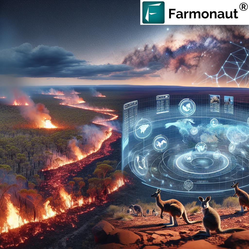
- Northern Australia: Characterized by savanna-like forests, this region experiences annual fire events, often part of traditional land management practices.
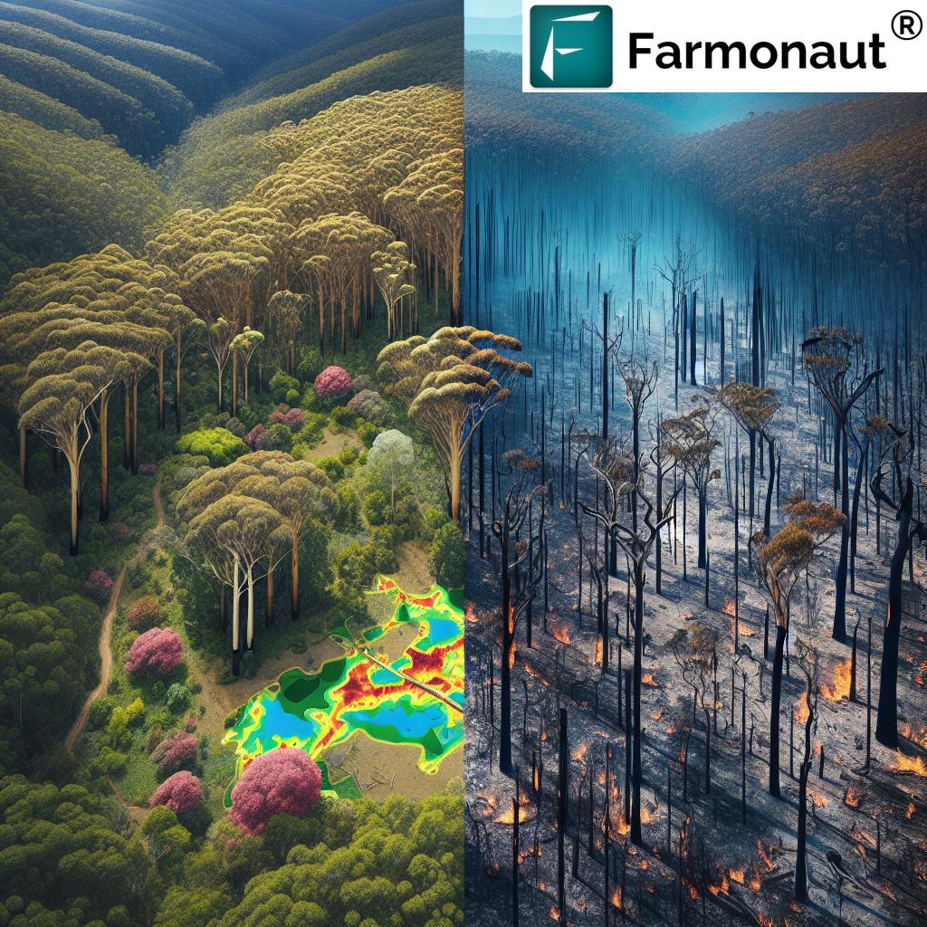
- Southern Australia: Home to diverse eucalypt forests, these areas face less frequent but potentially catastrophic bushfires, especially during prolonged drought periods.
- Rainforest Areas: Typically fire-resistant, these ecosystems are increasingly vulnerable due to climate change-induced drying trends.
The distribution of fires across various forest types is not uniform, reflecting the complex interplay of climate, vegetation, and human factors. Recent data reveals alarming trends in fire frequency and intensity, particularly in areas south of the Tropic of Capricorn.
The Role of Climate Change in Shaping Fire Regimes
The climate change impact on forests in Australia is profound and multifaceted. Rising temperatures, altered precipitation patterns, and more frequent extreme weather events are reshaping the continent’s fire ecology:
- Extended fire seasons, particularly in southern regions
- Increased fuel loads due to periods of rapid vegetation growth followed by intense drying
- Higher fire intensity and faster spread rates under extreme weather conditions
These changes pose significant challenges for traditional fire management approaches, necessitating innovative solutions that can adapt to rapidly evolving environmental conditions.
Leveraging GIS and Remote Sensing for Fire Management
The integration of GIS in forestry and remote sensing for fire detection has transformed our ability to monitor, predict, and respond to forest fires across Australia. These technologies offer unprecedented insights into fire behavior, fuel conditions, and ecological impacts:
- Satellite Imagery: Provides real-time monitoring of fire spread and intensity across vast areas
- LiDAR Technology: Enables detailed mapping of forest structure and fuel loads
- Thermal Sensors: Detect hotspots and aid in early fire detection
- Machine Learning Algorithms: Analyze historical and current data to predict fire risk and behavior
At Farmonaut, we harness these technologies through our advanced satellite-based farm management solutions, which can be adapted for forest monitoring and fire risk assessment. Our platform integrates multispectral satellite imagery with AI-driven analytics to provide valuable insights for sustainable forest management.

Fire Risk Assessment Tools: A Game-Changer in Prevention
Advanced fire risk assessment tools are revolutionizing how we approach bushfire prevention in Australia. These tools combine multiple data sources to create comprehensive risk profiles:
- Vegetation Health Indices: Utilize spectral data to assess fuel moisture content and fire susceptibility
- Topographic Analysis: Evaluate how terrain influences fire spread and intensity
- Weather Pattern Integration: Incorporate short and long-term weather forecasts to predict fire danger periods
- Historical Fire Data: Analyze past fire events to identify high-risk areas and seasonal patterns
Our Jeevn AI Advisory System at Farmonaut, while primarily designed for agricultural applications, demonstrates the potential of AI-driven systems in environmental monitoring and risk assessment. Such technologies can be adapted to provide real-time insights and personalized strategies for forest fire management across diverse Australian landscapes.

Sustainable Forest Management Strategies
Sustainable forest management in Australia requires a holistic approach that balances ecological needs with fire prevention strategies. Key components include:
- Planned Burning: Controlled burns to reduce fuel loads and create fire breaks
- Ecosystem Restoration: Reintroduction of native species and promotion of biodiversity to enhance resilience
- Community Engagement: Involving local communities and indigenous groups in fire management practices
- Adaptive Management: Continuously refining strategies based on new data and changing environmental conditions
Farmonaut’s expertise in precision agriculture and resource management can contribute valuable insights to these strategies, particularly in monitoring vegetation health and optimizing resource allocation for fire prevention efforts.
Fire Regime Analysis: Understanding Patterns and Impacts
Fire regime analysis is crucial for developing effective management strategies. This involves studying:
- Fire Frequency: How often fires occur in specific areas
- Fire Intensity: The energy released by fires and its ecological impact
- Fire Seasonality: Timing of fires and its relation to climate patterns
- Fire Type: Surface fires, crown fires, and their varying impacts on ecosystems
Advanced spatial analysis techniques and comprehensive datasets allow for detailed mapping of fire regimes across Australia’s diverse landscapes. This information is vital for predicting future fire behavior and tailoring management approaches to specific ecosystems.
Ecological Impact of Wildfires: Beyond the Flames
The ecological impact of wildfires extends far beyond the immediate destruction of vegetation. Long-term effects include:
- Soil Erosion and Water Quality Issues: Increased runoff and sedimentation in waterways
- Habitat Loss: Destruction of critical habitats for native species
- Biodiversity Changes: Shifts in species composition and ecosystem dynamics
- Carbon Emissions: Release of stored carbon, contributing to climate change
Understanding these impacts is crucial for developing comprehensive conservation strategies that address both immediate fire threats and long-term ecological resilience.

Reforestation After Bushfires: Rebuilding Ecosystems
Reforestation after bushfires is a critical aspect of long-term forest recovery and management. This process involves:
- Assessment of Fire Damage: Using remote sensing to map affected areas
- Species Selection: Choosing fire-resistant and ecologically appropriate species for replanting
- Soil Rehabilitation: Addressing soil degradation and erosion issues
- Monitoring and Adaptive Management: Tracking forest regeneration and adjusting strategies as needed
Farmonaut’s expertise in crop health monitoring and AI-driven advisory systems can be adapted to support reforestation efforts, providing valuable insights into vegetation health and growth patterns in recovering areas.
The Role of Technology in Future Fire Management
As we look to the future of forest fire management in Australia, technology will play an increasingly pivotal role. Emerging trends include:
- Artificial Intelligence: Advanced predictive models for fire behavior and risk assessment
- Drone Technology: For real-time monitoring and precision firefighting operations
- Internet of Things (IoT): Networks of sensors providing real-time data on forest conditions
- Big Data Analytics: Processing vast amounts of environmental data for more accurate fire forecasting
At Farmonaut, we’re committed to advancing these technologies in the agricultural sector, with potential applications in forestry and fire management. Our API and developer documentation showcase the potential for integrating advanced satellite and weather data into comprehensive environmental monitoring systems.

Comparative Analysis of Australian Forest Types and Fire Characteristics
| Forest Type | Location | Fire Frequency | Fire Intensity | Management Strategies |
|---|---|---|---|---|
| Northern Savanna | Northern Australia | Annual | Low to Medium | Regular controlled burns, traditional indigenous practices |
| Eucalyptus Forests | South-eastern Australia | Every 5-10 years | High | Fuel reduction, firebreaks, community preparedness |
| Rainforests | Eastern coastline, Tasmania | Rare | Low (when occurs) | Protection zones, moisture retention strategies |
| Mountain Ash Forests | Victoria, Tasmania | Every 75-150 years | Very High | Long-term conservation, restricted access during high-risk periods |
| Mallee Woodlands | South Australia, Western Australia | Every 20-40 years | Medium to High | Mosaic burning, species-specific management |
Challenges and Opportunities in Australian Forest Fire Management
Despite technological advancements, significant challenges remain in managing forest fires across Australia:
- Climate Change Adaptation: Developing strategies that account for rapidly changing environmental conditions
- Balancing Ecological Needs with Fire Prevention: Ensuring fire management practices support biodiversity and ecosystem health
- Resource Allocation: Efficiently distributing limited resources across vast and diverse landscapes
- Community Engagement: Involving and educating local communities in fire prevention and preparedness
These challenges also present opportunities for innovation and collaboration. By leveraging advanced technologies and fostering partnerships between government agencies, research institutions, and technology providers like Farmonaut, we can develop more effective and sustainable approaches to forest fire management.
Conclusion: A Sustainable Future for Australian Forests
As we confront the complex challenges of forest fire management in Australia, it’s clear that a multifaceted, technology-driven approach is essential. By leveraging GIS, remote sensing, and advanced analytics, we can develop more effective strategies for fire prevention, ecosystem conservation, and sustainable forest management.
At Farmonaut, we’re committed to advancing agricultural technology solutions that can be adapted to support these critical environmental efforts. Our satellite-based monitoring systems, AI-driven analytics, and commitment to sustainability align closely with the needs of modern forest management.
As we look to the future, the integration of cutting-edge technology with traditional knowledge and community engagement offers the best path forward for protecting Australia’s diverse and valuable forest ecosystems. By working together and embracing innovation, we can build a more resilient and sustainable future for Australian forests.
FAQs
- How does climate change affect forest fires in Australia?
Climate change leads to hotter, drier conditions, extending fire seasons and increasing the frequency and intensity of fires, particularly in southern regions. - What role does GIS play in forest fire management?
GIS helps in mapping fire-prone areas, analyzing fire spread patterns, and planning effective response strategies through spatial data analysis. - How can remote sensing technology aid in fire detection?
Remote sensing uses satellite and aerial imagery to detect hotspots, monitor fire spread, and assess post-fire damage over large areas quickly. - What are some sustainable forest management practices in Australia?
Practices include controlled burning, ecosystem restoration, community engagement, and adaptive management strategies based on scientific data. - How do different Australian forest types vary in their fire characteristics?
Fire characteristics vary widely, from annual low-intensity fires in northern savannas to less frequent but high-intensity fires in southern eucalypt forests.


