Agricultural Drone Mapping: Uncover 7 Shocking Benefits!
“Over 80% of farmers using drone mapping report improved decision-making through precise, real-time field data collection.”
Table of Contents
- Introduction: The Rise of Agricultural Drone Mapping
- 7 Shocking Benefits of Drone Mapping in Agriculture
- Applications of Agricultural Drone Mapping
- Estimated Impact: Comparison Table
- Farmonaut: Empowering Smart, Affordable Precision Agriculture
- Challenges of Agricultural Drone Adoption
- Future Outlook: Technology & Innovation in Mapping
- Frequently Asked Questions (FAQ)
- Getting Started with Farmonaut – Apps, API & More
Introduction: The Rise of Agricultural Drone Mapping
In recent years, agricultural drone mapping has emerged as a transformative tool within the landscape of modern agriculture. By leveraging unmanned aerial vehicles (UAVs) equipped with advanced sensors and imaging technologies, we can collect detailed data about crops, soil, water distribution, and overall field health. The rise of drones in agriculture reflects a broader trend, where data-driven, precision technologies are redefining farm management and optimizing every aspect of farming from seeding to harvest.
In the past, farmers relied heavily on traditional methods—manual scouting, guesswork, and intuition brought from years of experience. Today, the integration of precision farming technology and agricultural drone mapping is replacing uncertainty with evidence-based decision-making. The shift is critical: improving efficiency, reducing operational costs, and safeguarding the environment.
“Drone mapping can survey up to 1,000 acres per day—over 10 times faster than traditional field scouting methods.”
7 Shocking Benefits of Drone Mapping in Agriculture
Let’s dive straight into the core advantages that have made agricultural drone mapping such a compelling force in today’s precision farming. These seven benefits help illustrate not just incremental improvements, but sweeping changes in how we manage and optimize fields, crops, and resources.
- Unmatched Crop Monitoring and Health Assessment
- High-resolution, real-time crop data from multispectral and thermal sensors.
- Identifies nutrient deficiencies, diseases, and problems before symptoms become visible.
- Enables early intervention, targeted treatment, and optimized yield.
- Precision Soil Analysis and Mapping
- Detailed drone soil analysis for moisture, composition, and variability.
- Facilitates variable rate application of fertilizers/pesticides.
- Reduces waste, boosts crop health, and trims input costs.
- Precision Irrigation Management
- Drone mapping enables efficient irrigation system design, ensuring even water distribution.
- Prevents both overwatering and water stress, leading to healthier crops and substantial water savings.
- Accurate Drone Yield Estimation and Harvest Planning
- Monitor crop growth stages with aerial imagery, predict yields with greater accuracy.
- Plan logistics, harvest timing, and post-harvest processing with confidence.
- Efficient Aerial Crop Spraying & Seeding
- Drones equipped for aerial spraying can apply fertilizers, herbicides, and pesticides with precision.
- Minimizes chemical use, enhances coverage, and speeds up field operations, especially in hard-to-reach areas.
- Cost Reduction and Operational Efficiency
- Cut down on manual labor and reduce time spent on field monitoring.
- Support resource allocation based on precise field performance data.
- Environmental Sustainability
- Minimize chemical runoff, fuel use, and environmental footprint of farming.
- Precision practices help conserve soil, water, and biodiversity while ensuring farm profitability.
Applications of Agricultural Drone Mapping
Applications of agricultural drone mapping extend across every stage of modern farming. Here are the most significant ways we use drones and supporting technologies to gather insights and manage fields efficiently:
1. Crop Health Monitoring with Drones
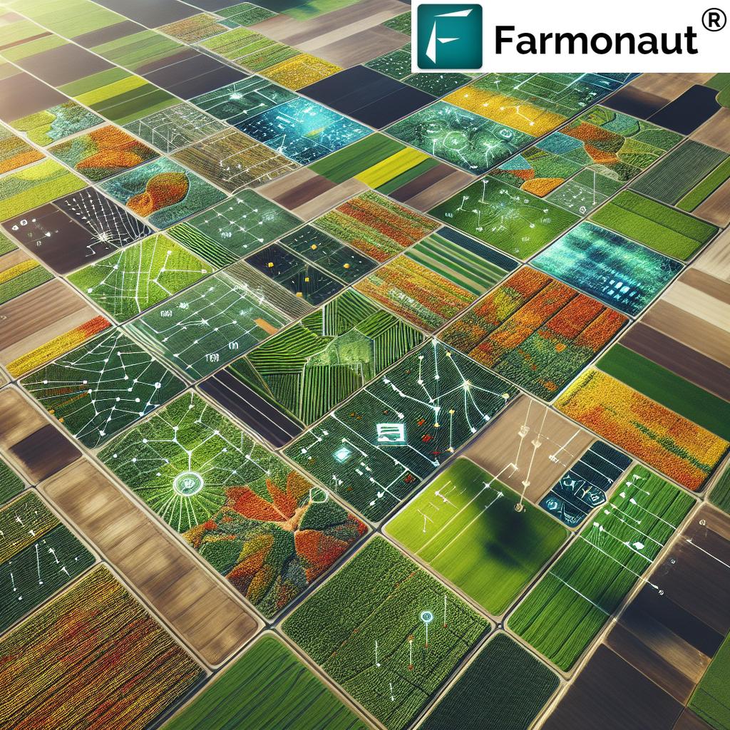
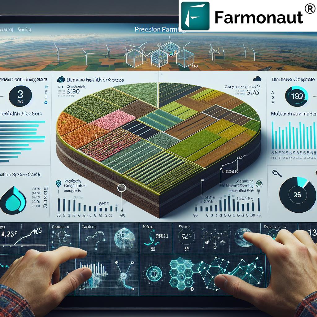
Drones equipped with multispectral and thermal sensors can capture high-resolution aerial images of fields at regular intervals, allowing us to monitor plant health dynamically. By analyzing Normalized Difference Vegetation Index (NDVI) and similar indices, we detect stress levels, nutrient deficiencies, and crop diseases before they become widespread. Early identification and intervention not only protect yields but also reduce the need for large-scale pesticide and fertilizer application.
- Detect nutrient deficiencies by interpreting color changes via NDVI maps
- Spot and address pest infestations or disease outbreaks early
- Optimize input usage by targeting only the areas that need attention
2. Drone Soil Analysis: Mapping Soil Variability
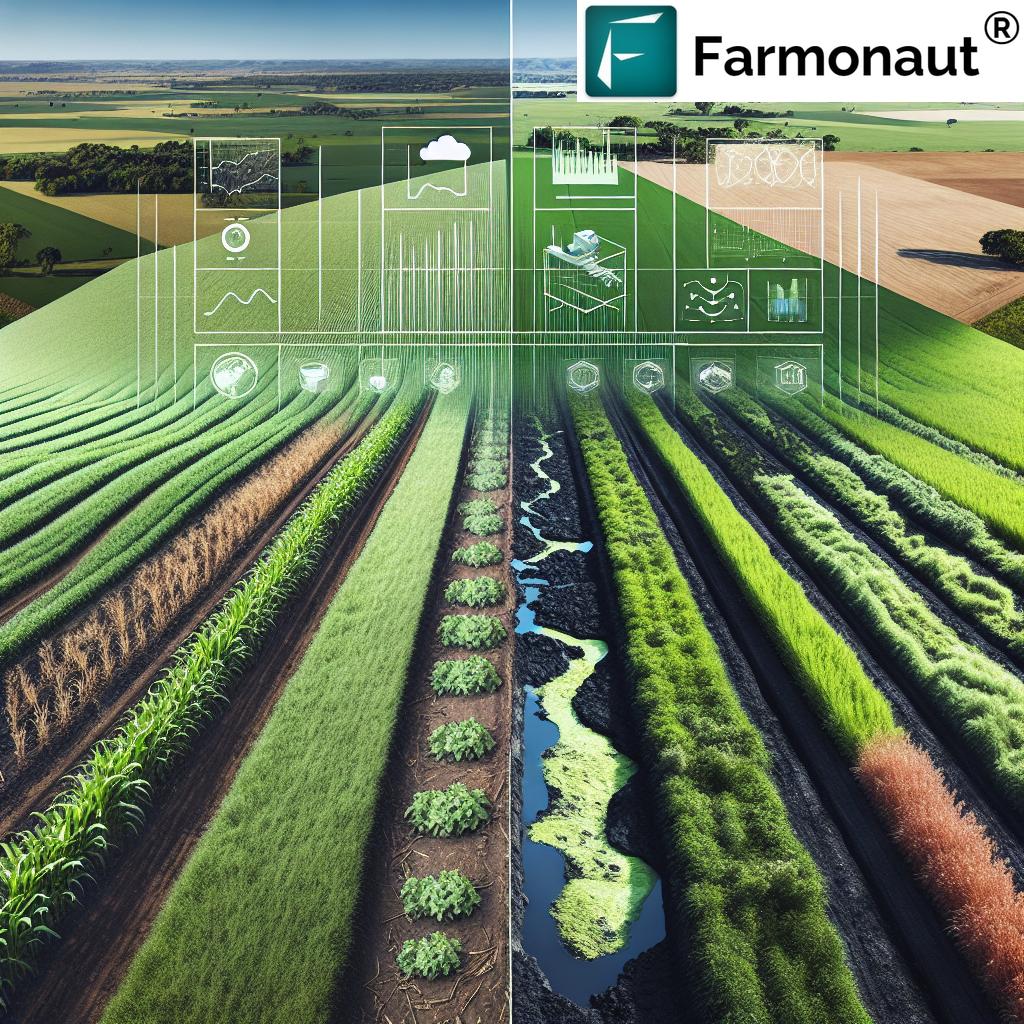
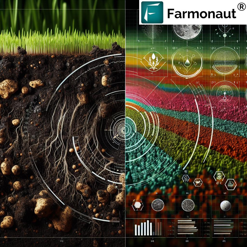
Modern drones can perform advanced soil analysis by capturing images and gathering crucial data on moisture levels, composition, and temperature variations. Mapping these parameters helps us understand in-field variability, essential for implementing precision agriculture. With better information, farmers can apply inputs variably, directly addressing specific needs and reducing waste.
- Create detailed soil maps for variable rate application of fertilizers and pesticides
- Improve understanding of soil moisture distribution, optimizing irrigation schedules
- Enhance decision-making for crop rotation, tillage, and resource allocation
3. Precision Irrigation Management
Efficient water usage is vital in sustainable agriculture. Drone mapping enables precise assessment of soil moisture and crop health, allowing us to design smarter irrigation systems. Drones help ensure even water distribution, prevent over-irrigation, and spot leaks or faulty lines more quickly than manual inspection.
- Prevent overwatering and reduce water wastage
- Detect moisture stress instantly and act before crops deteriorate
- Enhance crop yields while reducing irrigation costs and conserving fresh water
4. Drone Yield Estimation and Harvest Planning
Drones provide granular, up-to-date aerial imagery that enable us to estimate crop yield with remarkable accuracy. By tracking crop development through the season and analyzing canopy coverage or height, we can forecast yield and optimize harvest logistics—managing labor, equipment, and market delivery more effectively.
- Forecast yields for better market and logistics planning
- Adapt harvest timing to weather and crop condition, reducing losses
- Improve relationships with buyers through reliable supply predictions
5. Aerial Crop Spraying and Seeding
Many modern drones are equipped for aerial crop spraying, precisely delivering fertilizers, herbicides, and pesticides across variable terrain. This is a leap from traditional methods—we can spray only where needed, at the precise rate required, minimizing chemical use and achieving more sustainable, effective pest and disease control.
- Reduce overlap and runoff by mapping out precise spray paths
- Accelerate planting by dropping seeds in difficult-to-reach areas (relevant for cover crops, reforestation, or restoration)
- Cut labor costs and address environmental concerns related to chemical application
6. Increased Efficiency and Reduced Labor
Drones are superb at quickly covering large areas and collecting detailed data. By reducing our reliance on manual scouting, we save a tremendous amount of time and effort, dramatically increasing workflow efficiency. Farm workers can then focus on analysis and interventions, not endless walking or guessing.
- Monitor thousands of acres in a fraction of the time
- Enable real-time or near-real-time responses to field changes
- Optimize labor deployment for the activities that genuinely add value
7. Environmental Sustainability and Compliance
By targeting inputs and optimizing every resource, agricultural drone mapping supports sustainability. Less chemical runoff preserves water sources; efficient irrigation conserves water; reduced fuel use lowers carbon emissions; and precise mapping enhances soil conservation. This approach is essential for meeting the rising environmental requirements and for sustainable farming.
- Reduce environmental impact while increasing food production
- Comply with stricter sustainability and reporting requirements (such as carbon footprint tracking via satellite)
- Better align with modern subsidy schemes or market-based eco-labels
Estimated Impact of Drone Mapping on Key Farming Metrics
| Benefit | Description | Estimated Improvement (%) | Practical Example |
|---|---|---|---|
| Yield Increase | Better crop health monitoring, early pest/disease detection | 10–15% | Healthier, uniform crops result in higher harvested tonnes per acre |
| Input Cost Reduction | Targeted use of fertilizers, chemicals, and water | 20–25% | Distribution only where required slashes input waste |
| Time Saved | Rapid large-area field survey versus manual scouting | ~90% | 1,000 acres/day covered versus 100 acres/day manually |
| Pest/Disease Detection Accuracy | Earlier and more precise detection of crop health issues | +30–40% | Spotting infestations weeks before visible signs emerge |
| Resource Optimization | Better allocation of labor, machinery, and resources | +25% | Deploy labor only in zones needing intervention |
| Data-Driven Decision Making | Timely, highly detailed field and crop information | N/A (Qualitative) | Decisions based on real measurements, not guesswork |
| Environmental Impact | Reduced chemical/fuel use, improved soil and water health | Up to 25% CO2 and pollutant reduction | Less fertilizer runoff, lower carbon footprint |
Farmonaut: Empowering Smart, Affordable Precision Agriculture
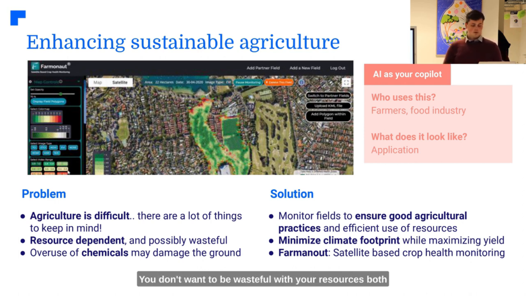
Farmonaut is not just a technology company—it’s a catalyst for making precision agriculture accessible to farmers of every scale. With a firm mission to democratize data-driven farm management, we use satellite imagery, AI, and blockchain to address the same challenges outlined above—without requiring large capital investment in hardware.
- Farmonaut Carbon Footprinting: Empower your operation to measure CO2 emissions, track environmental impact, and move towards compliance and eco-friendly farming.
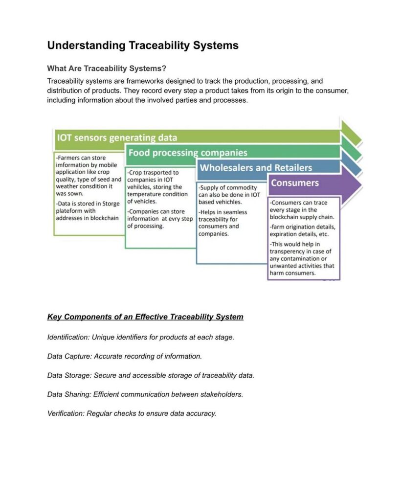
- Farmonaut Traceability: Ensure transparency in your agricultural supply chain using blockchain-powered farm-to-market tracking.
- Farmonaut Fleet Management: Optimize movement and usage of your agricultural vehicles and equipment, improving safety and operational efficiency.
- Farmonaut Large Scale Farm Management: Monitor and manage thousands of hectares, coordinate resources, and track crop health on a single platform.
- Crop Loan & Insurance Verification: Get satellite-backed verification to simplify loan approvals and reduce fraudulent claims.
By offering apps and APIs across web, Android, and iOS, Farmonaut ensures that all these precision technologies are never more than a click away for every farmer, anywhere in the world.
Developers: Integrate satellite-based crop health, soil moisture, and weather data into your own systems using the Farmonaut API. For technical integration, visit our API Developer Docs.
Farmonaut Subscriptions: Affordable Access to Advanced Farming Insights
Start maximizing the benefits of drone and satellite-based mapping without high up-front equipment costs. Choose the right plan for your field size and needs below:
Challenges of Agricultural Drone Adoption
Despite the jaw-dropping potential of agricultural drone mapping and drones in agriculture, there are notable challenges and limitations:
- Regulatory Compliance: Using drones is subject to airspace regulations, licensing, and operational restrictions that vary by region and country. These requirements can create obstacles for rapid adoption.
- Technical Limitations: Drones currently face limitations in payload capacity and flight duration, meaning large fields may require multiple flights or equipment upgrades. Operations are also weather-sensitive.
- Data Management & Analysis: The sheer volume of data generated can overwhelm traditional analysis methods. Specialized expertise and robust platforms are needed to turn raw imagery into actionable information.
- High Initial Investment: While long-term returns are evident, purchasing drones and compatible sensors/equipment might still be cost-prohibitive for some small-scale farmers.
- Privacy Concerns: Drones collecting images over farmland may unintentionally capture neighboring properties, raising privacy or legal issues that must be addressed proactively.
Farmonaut helps mitigate many of these challenges by offering subscription-based, satellite-powered solutions that lower up-front hardware costs, simplify compliance (no pilot’s license needed), and remove much of the technical heavy lifting from the end-user experience.
Future Outlook: Technology & Innovation in Mapping
As sensors, imaging, and drone software become smarter and more accessible, agricultural drone mapping will continue to revolutionize the way we approach farm management. Expect to see:
- More affordable and long-endurance drones suitable for large field operations
- Seamless integration of drone data with IoT, AI, and farm management software (Farmonaut’s Jeevn AI advisory system is a prime example)
- Advanced algorithms for yield prediction, disease risk modeling, and climate adaptation
- Better environmental accountability and real-time compliance reporting powered by satellite and drone technologies
Overcoming current challenges will require continued investment in technology, education for farmers, and supportive regulatory policies. However, the advantages—including efficiency, profitability, and sustainability—mean the future of precision farming and agricultural drone mapping is brighter than ever.
Frequently Asked Questions (FAQ)
-
What is agricultural drone mapping?
Agricultural drone mapping refers to using unmanned aerial vehicles (UAVs) equipped with sensors and cameras to collect high-resolution images and data over farmland. The insights gained support decision-making in crop management, soil analysis, irrigation, spraying, and yield estimation. -
How do drones improve crop health monitoring?
Drones use multispectral and thermal imaging to detect early signs of stress, disease, or nutrient deficiency in crops. This enables farmers to intervene with targeted treatments, reducing crop loss and input waste. -
Are drones safe and legal for agricultural use?
Agricultural drones are safe if operated by trained individuals and within legal regulations. It is crucial to check local regulations regarding drone operations and privacy before deploying them on farms. -
Can small-scale farmers benefit from drone mapping?
Yes! Solutions like Farmonaut provide affordable, pay-as-you-go mapping and monitoring tools, making precision agriculture accessible regardless of farm size. -
What is the initial investment for adopting drones in agriculture?
Direct drone purchase and equipment costs can be substantial, especially for large or specialized drones. However, Farmonaut’s satellite-based and app-driven platform eliminates high up-front costs while still delivering core mapping and monitoring benefits. -
What distinguishes Farmonaut’s technology?
Farmonaut uses a blend of satellite imagery, artificial intelligence, and blockchain to enable real-time, data-driven farm management. Unlike traditional drone mapping which may require high technical expertise, Farmonaut’s tools are designed for usability and affordability. -
Is drone data integration possible with my existing farm software?
Yes! Through Farmonaut’s API (API access), you can integrate vital field-level insights into ERP, CRM, or other farm management systems. -
Does Farmonaut offer mobile access for on-field use?
Absolutely. Farmonaut’s satellite-driven crop and field data can be accessed via iOS, Android, and web platforms (Download the app).
Getting Started with Farmonaut – Apps, API & More
Whether you manage a small, family-owned plot or oversee vast commercial fields, adopting drone mapping or satellite-based farm management is simpler than ever with Farmonaut. All our solutions are driven by the belief that data and technology must drive 21st-century farming, supporting real, measurable improvements in efficiency, sustainability, and profitability.
- Web App: Monitor, analyze, and optimize your farm operations from anywhere (Get Started with Farmonaut Web App).
- Mobile Apps: Access real-time crop information while on the go. Farmonaut for Android | Farmonaut for iOS
- API Integration: For businesses, research, or custom solutions, use the Farmonaut API. See our developer docs for detailed guidance.
Experience modern farming the data-driven way. Leverage all the benefits of drone mapping in farming—faster, smarter, and more affordably than ever before.


