7 Shocking Agriculture Mapping Drone Hacks for Efficiency
“Over 70% of modern farms now use mapping drones for real-time crop monitoring and field analysis.”
- Why Agricultural Mapping Drones Are Revolutionizing Modern Farming
- 7 Shocking Agriculture Mapping Drone Hacks for Efficiency
- Agricultural Mapping Drone Hacks: Efficiency Impact Comparison Table
- Farmonaut: Satellite, AI, and Blockchain-Driven Precision Farming Solutions
- Challenges, Considerations & The Sustainable Future of Drone Technology in Agriculture
- Frequently Asked Questions about Agricultural Mapping Drones
Why Agricultural Mapping Drones Are Revolutionizing Modern Farming
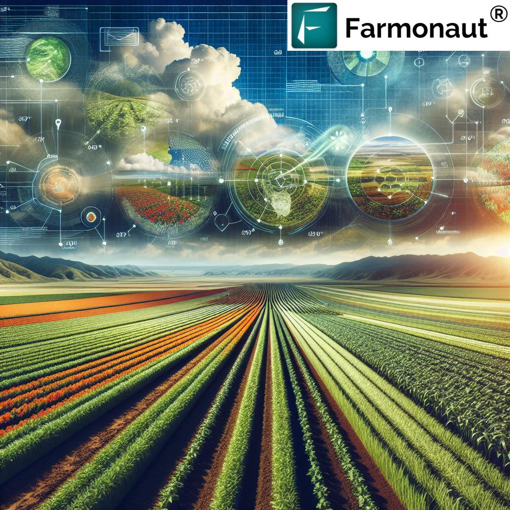
In the era of technology and innovation, modern farming is undergoing a seismic transformation. Among the most remarkable disruptors are agricultural mapping drones. These unmanned aerial vehicles (UAVs) are empowering farmers worldwide to manage their fields with unprecedented precision, efficiency, and sustainability.
The fusion of advanced sensors, data-driven insights, and real-time aerial mapping introduces a new paradigm for crop health monitoring, resource management, and sustainable agricultural practices. By harnessing drone technology in agriculture, we can optimize every facet of farm operations—from planting and soil analysis to irrigation and harvesting.
In this comprehensive guide, we will reveal seven shocking agriculture mapping drone hacks that can dramatically improve your productivity and environmental stewardship. Along the way, we will explore actionable tips, quantitative benefits, latest applications, and critical considerations for every scale of farm management.
What Are Agricultural Mapping Drones?
Agricultural mapping drones are UAVs equipped with multispectral, thermal, and advanced imaging technologies that capture detailed data on crop health, soil condition, water distribution, and much more. These devices provide actionable insights that help us make informed, timely decisions—boosting yields, reducing input costs, and advancing sustainable farming.
- Precise field analysis and topography mapping
- Real-time crop monitoring and pest detection
- Targeted spraying and fertilization
- Intelligent irrigation management
- Data-driven resource optimization
With affordability and accessibility rapidly increasing, mapping drones are not just for large industrial farms. Small, medium, and large-scale farmers are unlocking new efficiencies every day.


Key Benefits of Drone Technology in Agriculture
- Increased Productivity: Make data-backed agricultural decisions to optimize yield and use of inputs.
- Cost & Labor Efficiency: Reduce reliance on manual fieldwork, machinery, and costly labor.
- Environmental Sustainability: Use less water, pesticides, and fertilizers, promoting sustainable farming practices.
- Enhanced Crop Health Monitoring: Early detection of issues for timely interventions and minimized losses.
- Comprehensive Insights: Get multilayered aerial views for better understanding and control.
7 Shocking Agriculture Mapping Drone Hacks for Efficiency
Let’s unlock the top agricultural mapping drone hacks that are transforming efficiency, crop health, and cost savings on modern farms:
“Precision farming drones can map up to 1,000 acres in a single flight, revolutionizing large-scale agriculture.”
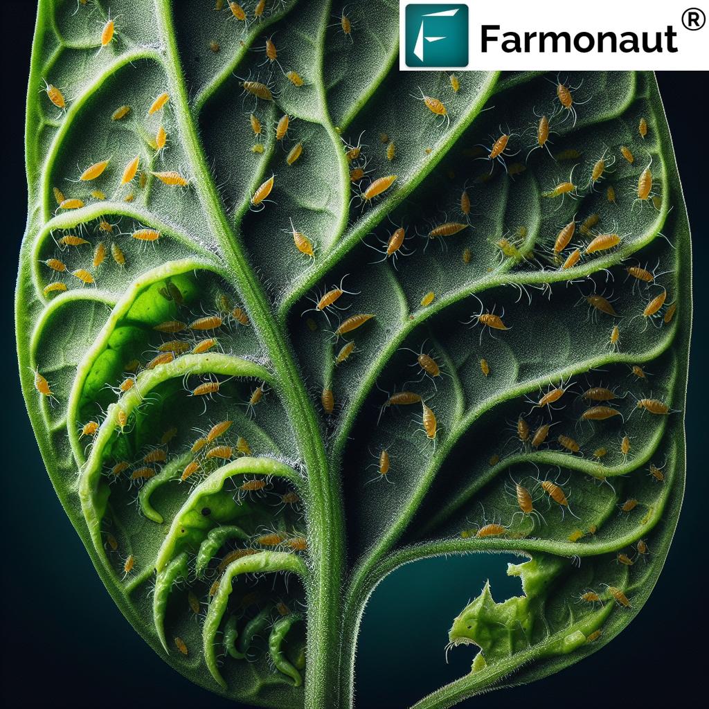
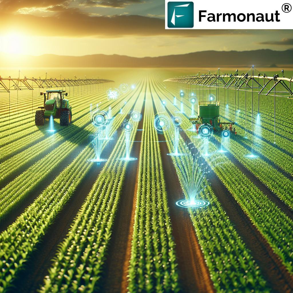
1. Crop Health Monitoring with Drones: Early Detection, Maximum Rescue
Hack #1: Use multispectral imaging sensors on drones to capture data across different light spectra—including visible, near-infrared, and thermal. This enables us to conduct crop health monitoring with drones at scale, quickly detecting pest infestations, diseases, nutrient deficiencies, and stress areas before they become widespread problems.
- Spot hidden issues not visible to the naked eye
- Pinpoint exact locations for timely interventions
- Reduce input wastes—spray only where needed
- Significantly increase yield and minimize crop damage
Drones equipped with NDVI (Normalized Difference Vegetation Index) and thermal cameras can even identify problematic sections within a single field, allowing segmented management responses. With tools like Farmonaut’s AI-powered crop monitoring and advisory services, farmers can analyze fields in real-time for far superior results.
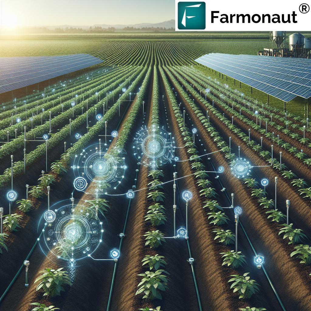
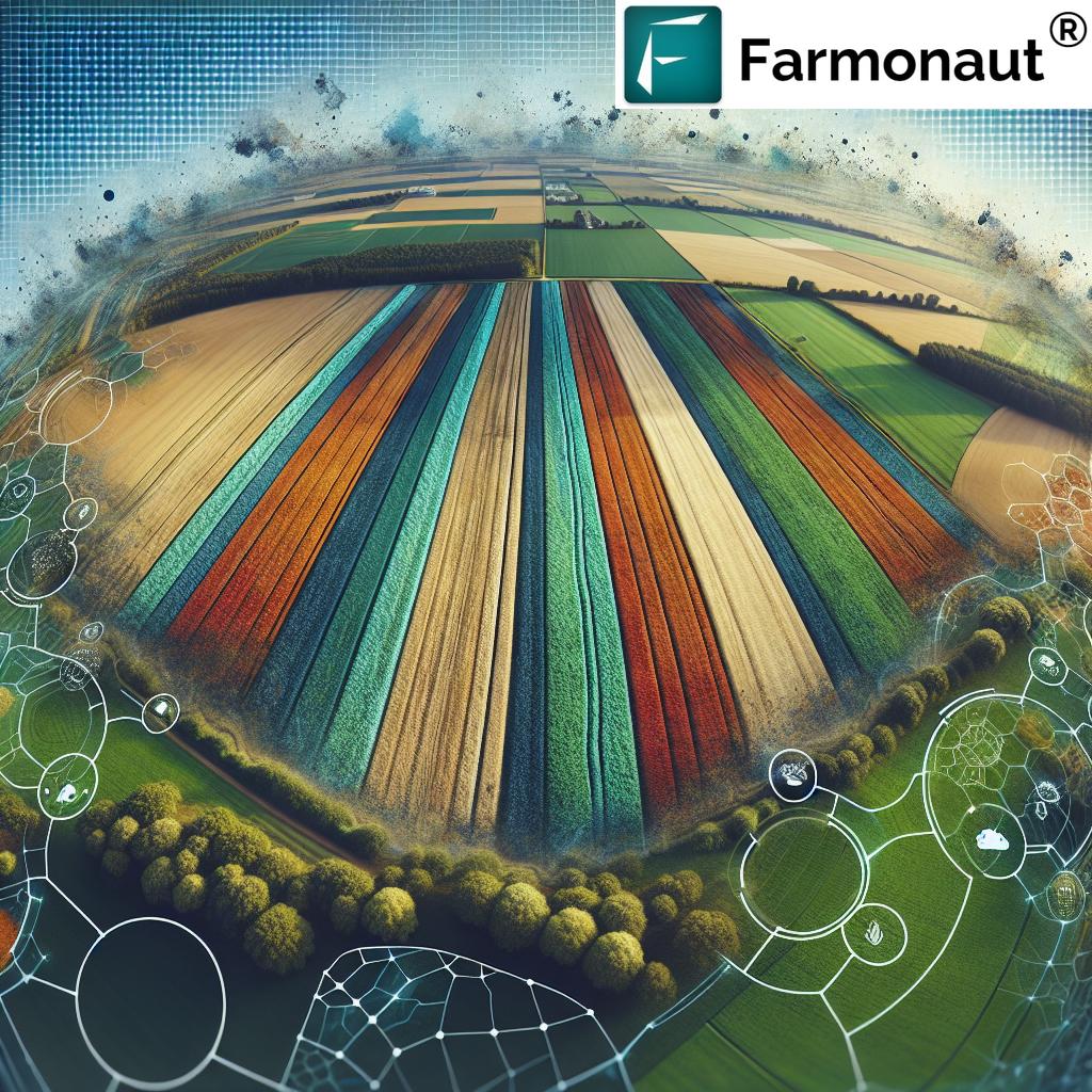
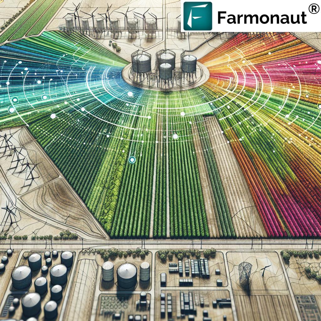
2. Slashing Costs with Drone Field Analysis and Soil Mapping
Hack #2: Apply drone field analysis before any planting or input deployment. Drones with advanced imaging and topographic mapping can generate 3D soil maps showing composition, moisture, and terrain variations—down to every hectare.
- Precisely map where soil nutrients, moisture, or pH levels are sub-optimal
- Allow for precision farming solutions—target fertilizers and amendments only in required zones
- Save costs by reducing overall input consumption
- Optimize seed placement for maximum germination and yield potential
Soil mapping via drones centralizes multi-layered data for smarter, more sustainable farming practices. This isn’t just about planting right; it’s about reducing environmental impact by putting resources only where they’re needed.
Want to manage large blocks remotely? Explore Farmonaut’s Large Scale Farm Management platform—ideal for overseeing vast, dispersed operations with actionable satellite insights and AI advisory.
3. Drone Irrigation Management: Zero Water Waste, Optimal Growth
Hack #3: Leverage thermal imaging on drones to pinpoint water stress variations within and across fields. Unlike traditional guesswork, drone irrigation management lets us see exactly which areas are over or under-watered—and recalibrate accordingly.
- Develop optimized irrigation schedules to maximize water efficiency
- Cut down on waste, cost, and environmental impact
- Prevent root diseases linked to over-irrigation
- Boost yield consistency by keeping plants within “ideal moisture ranges”
With growing pressure on water resources, this hack is a must for sustainable farms everywhere. For further integration, combine with Farmonaut’s real-time soil moisture monitoring and predictive analytics for seamless irrigation decisions.
4. Drone Crop Spraying: Targeted Fertilization and Pesticide Application
Hack #4: Use mapping drones with variable rate systems to perform targeted spraying of fertilizers, herbicides, and pesticides. Instead of blanketing entire fields, drones deliver precise doses exactly where needed—down to the square meter.
- Reduce chemical use and costs by up to 30% or more
- Protect soil health and biodiversity (especially beneficial insects)
- Lower labor and machinery requirements
- Enhance compliance for regulations and sustainability standards
This approach is at the cutting edge of precision farming solutions and is supported by advanced analytics from platforms like Farmonaut’s crop health dashboards, ensuring that all applications are based on real scientific data.
5. Automated Planting and Seeding by Unmanned Aerial Vehicles (UAVs)
Hack #5: In challenging terrain, sloped land, or inaccessible areas, specialized drones can automate seeding and direct planting work. By linking drone-sourced field analytics with automated flight controls, we can:
- Plant seeds at optimal soil locations, depth, and spacing
- Drastically reduce planting labor costs and time
- Increase germination success, minimize planting gaps
- Support reforestation and agroforestry efforts seamlessly
For planning and monitoring such operations across hundreds of plots, science-driven software like Farmonaut’s Plantation and Forest Advisory solution plays a crucial role in maximizing every seed’s potential.
6. Livestock Monitoring and Grazing Optimization
Hack #6: Use drones with high-resolution imaging to track livestock movement and monitor health—a major game-changer for large or remote properties. With real-time aerial views, we can now:
- Monitor herd distribution across varied landscapes
- Detect health issues, injuries, or missing animals rapidly
- Efficiently plan pasture rotation—avoiding over-grazing and soil degradation
- Reduce manual labor and increase animal welfare outcomes
Livestock management increasingly benefits from the integration of drones and AI-driven insights—especially when coordinated with fleet and resource management tools such as Farmonaut’s Fleet Management platform for tracking vehicles, assets, and staff.
7. Accurate Area Estimation and Blockchain Traceability for Compliance
Hack #7: Leverage aerial mapping and blockchain-based traceability to precisely calculate crop area estimations and assure regulatory compliance with agricultural subsidies, crop insurance, and supply chain transparency.
- Automatically demarcate planted area (critical for certifications and insurance claims)
- Generate tamper-proof records via blockchain integration
- Meet regulatory requirements at local and national levels
- Build consumer and buyer trust via full traceability
For integrated compliance, transparency, and reducing fraud risks, Farmonaut’s Traceability platform delivers cutting-edge tools for verifying product journey from farm to table. Banks and insurance providers can also rely on Farmonaut’s Crop Loan & Insurance solutions for quick, satellite-backed farm verification.
Agricultural Mapping Drone Hacks: Efficiency Impact Comparison Table
| Drone Hack | Function/Workflow Optimized | Estimated Cost Savings (%) | Time Saved per Hectare (hours) | Impact on Crop Health (Qualitative) | Sustainability Boost (Yes/No) |
|---|---|---|---|---|---|
| Crop Health Monitoring with Drones | Early pest/disease detection & spot treatment | 20–30% | 6–8 hours | Prevents widespread loss, increases yield | Yes |
| Drone Field Analysis and Soil Mapping | Input optimization, targeted fertilization | 15–22% | 4–5 hours | Improves root health, boosts plant vigor | Yes |
| Drone Irrigation Management | Water resource optimization | 10–15% | 3–4 hours | Prevents water stress & root damage | Yes |
| Drone Crop Spraying (Precision Application) | Targeted pesticide/fertilizer delivery | 25–35% | 5–7 hours | Reduces chemical stress, improves vigor | Yes |
| Automated Planting & Seeding | Labor & time savings in direct seeding | 22–28% | 3–5 hours | Even establishment, better emergence | Yes |
| Livestock Monitoring & Grazing | Aerial herd tracking, pasture planning | 8–12% | 2–3 hours | Reduces animal stress/injury | Yes |
| Area Estimation & Blockchain Traceability | Regulatory compliance, transparency | 10–15% | 1–2 hours | Secures claims, boosts supply chain trust | Yes |
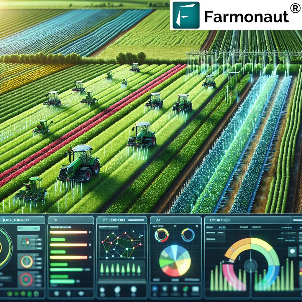
Farmonaut: Satellite, AI, and Blockchain-Driven Precision Farming Solutions
Farmonaut stands at the forefront of the agricultural technology revolution, making precision farming affordable and accessible to all farmers. Our innovative platform seamlessly integrates satellite-based crop health monitoring, artificial intelligence, blockchain, and modular farm management tools across Android, iOS, browser/web app, and API.
- Crop Health Monitoring: Leverage satellite-driven NDVI, soil moisture, and health indices to make timely interventions.
- AI Advisory—Jeevn: Get personalized, real-time weather and crop management strategies directly from our AI-driven advisory system!
- Blockchain Traceability: Enjoy end-to-end product traceability in your supply chain, ensuring ethical, secure, and transparent sourcing. Learn more about Farmonaut’s traceability solutions →
- Fleet & Resource Management: Optimize resource allocations, streamline logistics, and monitor agricultural machinery efficiently. Explore Farmonaut fleet management tools →
- Carbon Footprinting: Monitor and minimize your environmental impact. See Farmonaut’s carbon footprint tracking feature →
- Crop Loan & Insurance Support: Farmers and lenders get rapid, satellite-confirmed verification for claims, reduce fraud, and access financing easily. Read about Farmonaut’s crop loan and insurance API →
- API Access for Developers: Integrate powerful field and weather data into your own apps with our Farmonaut API & API Developer Docs.
Farmonaut’s modular platform means you choose the tools that match your scale and ambition—be it individual smallholders, vast agriculture enterprises, or government and research agencies. By combining fast, affordable satellite updates with AI insights, we empower farmers worldwide to:
- Optimize yields, reduce farming costs with drones and remote sensing
- Enhance environmental sustainability and compliance
- Scale operations without a prohibitive increase in cost or complexity
- Build transparent supply chains and easily access finance/insurance
Ready to experience Farmonaut? Start tracking, monitoring, and transforming your farm operations today with our browser & mobile apps!
Challenges, Considerations & The Sustainable Future of Drone Technology in Agriculture
While the advantages of agricultural mapping drones are significant, there are several critical challenges and practical considerations that every farmer, business, or stakeholder should recognize for successful—and ethical—deployment.
Cost and Accessibility
- Initial investment: Drones, advanced sensors, and mapping software can represent a high upfront cost. However, with technology evolving and prices dropping rapidly, farmers of all sizes are finding these investments more manageable, especially with affordable, data-driven platforms like Farmonaut.
Regulatory Compliance
- Airspace usage: Drone operations must adhere to local aviation guidelines, licensing, and privacy rules. Always check and comply with regulations within your region to avoid penalties or disruptions in operations.
- Documented processes: Maintain clear logs, as required by law or funding bodies, for all mapping drone flights and operations.
Data Interpretation & Skills Gap
- Analysis expertise required: Accurate interpretation of aerial mapping data requires training or access to AI-driven advisory tools. That’s why Farmonaut’s Jeevn AI advisory system is valuable for delivering straightforward, actionable results from complex field data.
Privacy Concerns
- Respect surrounding farm boundaries and regional privacy laws. Proactively engage with neighboring landowners about drone flights and data collection plans, fostering trust and avoiding privacy disputes.
The Future: Smarter, More Sustainable, and Even More Accessible
Drone technology in agriculture will only get smarter, more connected, and widely adopted. Expect:
- Real-time AI-driven pest predictions and resource optimization
- Automated compliance reporting and certification
- Deeper integration with farm management software, fleet management and data-driven supply chains
- An ever-larger role in advancing sustainability and carbon footprint reduction in agriculture
As costs decrease and knowledge spreads, agricultural mapping drones and remote sensing services will empower farmers everywhere—from smallholders to large corporate estates—to generate more food, reduce environmental impacts, and prosper in the digital age.
Frequently Asked Questions about Agricultural Mapping Drones
What are agricultural mapping drones used for?
Agricultural mapping drones are used to monitor crop health, conduct soil and field analysis, manage irrigation, perform targeted spraying and fertilization, automate planting, track livestock, and precisely estimate field areas. By capturing and analyzing field data, drones enable farmers to make efficient, data-driven decisions, reduce costs, and enhance sustainability.
How do drones help in crop health monitoring?
Drones equipped with multispectral and thermal sensors can detect pests, diseases, nutrient deficiencies, and other plant stress factors by analyzing variations in reflected light. This real-time monitoring allows for timely and targeted interventions, minimizing yield loss and chemical usage.
How can I reduce farming costs with drones?
By using drones for field analysis, targeted crop spraying, smart irrigation, automated planting, and livestock monitoring, farmers can cut down on manual labor, reduce wasted inputs like water and chemicals, and minimize machinery expenses. Platforms like Farmonaut make these technologies more affordable and actionable.
Are agricultural drones suitable for small farms?
Yes! With today’s affordable software-as-a-service options, small and medium-sized farms benefit from the same high-level precision and efficiency as large operations. Farmonaut’s subscription models offer scalable solutions, so you can start small and grow your data-driven farm management as your needs expand.
How do I access Farmonaut’s agricultural solutions?
You can sign up via the web app, Android, or iOS platforms. Developers and research organizations can leverage Farmonaut’s API and developer docs for custom integrations.
What should I consider before deploying drones?
Key points include initial equipment and software costs, relevant airspace regulations, training or advisory tools for data interpretation, and community privacy. However, the long-term productivity and sustainability gains almost always justify the investment, especially when leveraging end-to-end solutions like Farmonaut.
Conclusion
Agricultural mapping drones have truly revolutionized modern farming by delivering precise, real-time data for smarter, more efficient, and more sustainable farm management. By integrating powerful sensors, advanced aerial imaging, and precision techniques, these tools allow us to reduce costs, optimize resources, and protect crop health across any landscape.
Farmonaut’s satellite-based agricultural management solutions bring these innovations directly to your fingertips—no hardware required. Empower your farm, enterprise, or research project with data-driven insights, blockchain-backed transparency, AI-powered advisory, and scalable farm management tools—from field to fork.
The journey to agricultural efficiency, productivity, and sustainability is just getting started—let’s rise to the challenge together, one drone flight at a time!