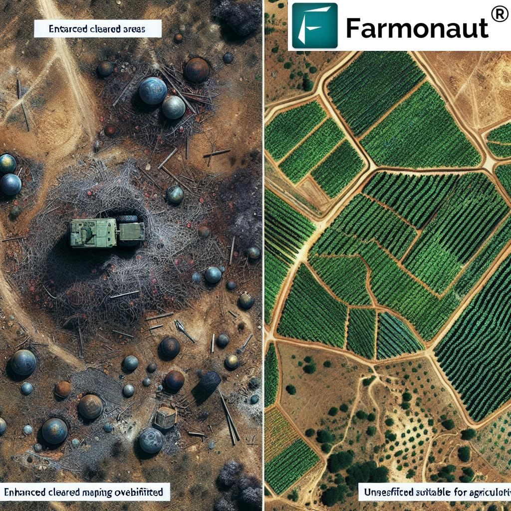
From Minefields to Vineyards: Satellite Imaging Revolutionizes Agricultural Renewal in Azerbaijan’s Post-Conflict Zones
“Azerbaijan has reclaimed over 145,700 hectares of contaminated farmland, transforming former minefields into productive agricultural areas.”
In the heart of the Caucasus, a remarkable transformation is taking place. Azerbaijan, a country once scarred by conflict, is now witnessing an inspiring journey of agricultural renewal. We at Farmonaut are proud to be at the forefront of this revolution, where advanced satellite imaging and precision agriculture technologies are playing a pivotal role in turning minefields into thriving vineyards and fertile fields.

The Challenge: A Land Scarred by Conflict
Azerbaijan has long grappled with the devastating aftermath of conflict, particularly in the Nagorno-Karabakh region. The legacy of war left vast tracts of land unusable, contaminated by over 1.5 million landmines. This crisis has not only posed severe risks to human life but has also crippled agricultural productivity, threatening food security and economic stability.
The scale of the problem is staggering:
- Approximately 13% of Azerbaijan’s territory was contaminated by landmines
- Thousands of casualties over three decades
- Vast areas of fertile land rendered unusable
- Significant impact on the economy and food security
The Vision: From Destruction to Renewal
In the face of such adversity, a vision of hope has emerged. Led by initiatives like the “Mines to Vines” project, Azerbaijan is embarking on an ambitious journey to transform these dangerous, war-torn lands into productive agricultural zones. This vision aligns perfectly with Farmonaut’s mission to make precision agriculture accessible and affordable to farmers worldwide.
Key aspects of this transformation include:
- Comprehensive landmine clearance operations
- Soil rehabilitation and restoration
- Implementation of sustainable farming practices
- Utilization of advanced agricultural technologies
The Role of Satellite Imaging and GIS Mapping
“Satellite imaging and GIS mapping are revolutionizing mine detection and agricultural recovery in Azerbaijan’s post-conflict zones, enabling safer farming practices.”
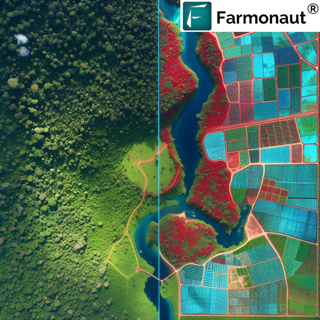
At the heart of this agricultural renaissance is the power of satellite imaging and GIS mapping. These technologies are proving invaluable in both the demining process and the subsequent agricultural revival.
Satellite Imaging for Mine Detection
Satellite imaging has revolutionized the approach to landmine detection, making the process safer and more efficient:
- High-resolution imagery helps identify potential mine locations
- Multispectral analysis can detect soil disturbances indicative of buried mines
- Time-series analysis reveals changes in land use patterns that may signal mine presence
At Farmonaut, we’re proud to contribute to this effort through our advanced satellite-based farm management solutions. Our technology not only aids in the initial detection process but also plays a crucial role in the subsequent agricultural development.
GIS Mapping for Agricultural Recovery
Once areas are cleared of mines, GIS mapping becomes essential for agricultural planning and management:
- Detailed land use mapping to identify suitable crops for different areas
- Soil quality analysis to guide rehabilitation efforts
- Irrigation planning based on topography and water resources
- Crop monitoring and yield prediction
Our Farmonaut platform integrates these GIS capabilities with real-time satellite data, providing farmers and agricultural planners with powerful tools for decision-making.
Transforming Minefields into Vineyards: A Symbol of Hope
One of the most inspiring aspects of Azerbaijan’s agricultural renewal is the transformation of former minefields into lush vineyards. This initiative, encapsulated in the “Mines to Vines” project, is more than just an agricultural endeavor – it’s a powerful symbol of hope and resilience.
The Significance of Vineyards
Vineyards hold a special place in Azerbaijan’s agricultural heritage:
- Historical importance of grape cultivation in the region
- Economic potential of wine production
- Symbol of long-term investment and peace
By choosing to plant vineyards in these reclaimed lands, Azerbaijan is making a statement about its commitment to long-term peace and prosperity.
Challenges and Solutions in Vineyard Establishment
Establishing vineyards in former minefields presents unique challenges:
- Soil contamination from explosive residues
- Disrupted soil structure due to mine removal
- Need for careful land preparation and soil rehabilitation
To address these challenges, innovative soil rehabilitation techniques are being employed:
- Phytoremediation using plants that can absorb contaminants
- Application of organic matter to improve soil structure
- Careful soil testing and monitoring
Farmonaut’s satellite-based soil moisture monitoring and crop health analysis tools are invaluable in this process, helping ensure the optimal growth of newly planted grapevines.
Explore Farmonaut’s API for advanced agricultural insights
Precision Agriculture in Post-Conflict Zones
As these lands transition from minefields to productive agricultural areas, the implementation of precision agriculture techniques is crucial for ensuring sustainable and efficient farming practices.
Remote Sensing for Safe Agriculture
Remote sensing technologies, including those provided by Farmonaut, play a vital role in ensuring safe and productive farming in these rejuvenated regions:
- Crop health monitoring using vegetation indices like NDVI
- Early detection of pest and disease outbreaks
- Soil moisture analysis for optimal irrigation management
- Yield prediction and harvest planning
These technologies not only enhance productivity but also minimize the need for physical presence in areas where the risk of undiscovered explosives may still exist.
Sustainable Farming Practices in Cleared Areas
The renewal of these lands presents an opportunity to implement cutting-edge sustainable farming practices:
- Precision irrigation systems to conserve water
- Variable rate application of fertilizers and pesticides
- Crop rotation and intercropping for soil health
- Use of cover crops to prevent erosion and improve soil fertility
Farmonaut’s AI-driven advisory system, Jeevn AI, provides farmers with personalized recommendations for implementing these sustainable practices, tailored to the specific conditions of their reclaimed lands.
Access Farmonaut’s API Developer Docs for integration possibilities
The Impact: Sowing Seeds of a Peaceful Future
The transformation of minefields into productive agricultural lands is having a profound impact on Azerbaijan’s communities and economy:
- Increased food security and agricultural productivity
- Economic revitalization of rural areas
- Safe return of displaced populations
- Creation of new employment opportunities in agriculture and related sectors
Moreover, this initiative aligns with global sustainability goals, contributing to environmental restoration and climate resilience.

Collaborative Efforts Driving Agricultural Renaissance
The success of Azerbaijan’s agricultural renewal is a testament to the power of collaboration. Various stakeholders are working together to make this vision a reality:
- Government agencies coordinating demining efforts
- International organizations providing expertise and resources
- Local communities actively participating in the renewal process
- Technology companies like Farmonaut offering innovative solutions
This collaborative approach ensures a holistic and sustainable transformation of the affected regions.
The Road Ahead: Challenges and Opportunities
While significant progress has been made, challenges remain:
- Continued need for demining operations
- Ongoing soil rehabilitation efforts
- Training farmers in new agricultural technologies
- Ensuring long-term sustainability of reclaimed lands
However, these challenges also present opportunities for innovation and growth. At Farmonaut, we’re committed to continually developing our technologies to meet the evolving needs of farmers in these rejuvenated regions.
Comparative Table: Agricultural Transformation in Azerbaijan’s Post-Conflict Zones
| Aspect | Before Demining | After Demining |
|---|---|---|
| Land Use | Unusable, dangerous | Cultivated, productive |
| Crop Diversity | Limited or none | Diverse, including vineyards |
| Farming Techniques | Traditional, limited | Precision agriculture, advanced |
| Soil Health | Contaminated, poor | Rehabilitated, improving |
| Economic Impact | Low, stagnant | High, growing |
| Community Safety | High risk | Safe, accessible |
| Environmental Sustainability | Poor | Improved, focus on conservation |
| Satellite Imaging Usage | Limited | Extensive, crucial for management |
| Food Security | Threatened | Enhanced, increasing production |
| Future Outlook | Uncertain, bleak | Promising, optimistic |
Conclusion: A New Chapter in Azerbaijan’s Agricultural Story
The transformation of Azerbaijan’s minefields into fertile agricultural lands is more than just an economic or environmental victory – it’s a powerful narrative of hope, resilience, and renewal. As we at Farmonaut continue to support this incredible journey with our advanced satellite imaging and precision agriculture technologies, we’re reminded of the transformative power of innovation and collaboration.
From the vineyards of Agdam to the fertile fields of the Nagorno-Karabakh region, Azerbaijan is writing a new chapter in its agricultural story. It’s a story that speaks to the global community about the possibilities of peace, the resilience of nature, and the ingenuity of human spirit.
As we look to the future, we’re filled with optimism. The seeds of change planted in these once-dangerous lands are growing into a harvest of hope, promising a brighter, more sustainable future for Azerbaijan and inspiring similar transformations around the world.
FAQs
- Q: How does satellite imaging help in landmine detection?
A: Satellite imaging aids in landmine detection by providing high-resolution imagery that can identify potential mine locations, detect soil disturbances indicative of buried mines, and reveal changes in land use patterns that may signal mine presence. - Q: What is the “Mines to Vines” project?
A: The “Mines to Vines” project is an initiative in Azerbaijan that aims to transform former minefields into productive vineyards, symbolizing hope and economic renewal in post-conflict areas. - Q: How does precision agriculture contribute to the renewal of cleared lands?
A: Precision agriculture techniques, such as remote sensing and variable rate applications, help optimize resource use, monitor crop health, and implement sustainable farming practices in newly cleared areas, ensuring efficient and safe agricultural operations. - Q: What are the main challenges in transforming minefields into agricultural land?
A: The main challenges include ongoing demining operations, soil contamination from explosive residues, disrupted soil structure, and the need for extensive soil rehabilitation and farmer training in new agricultural technologies. - Q: How does Farmonaut contribute to agricultural renewal in post-conflict zones?
A: Farmonaut provides advanced satellite-based farm management solutions, including crop health monitoring, AI-driven advisory systems, and precision agriculture tools, which are crucial for efficient and safe farming in rejuvenated regions.


