Unlock Western Australia’s Farming with Weather Data API!
“Over 70% of Western Australian farmers use weather data APIs to optimize crop yields and reduce resource waste.”
Introduction: Why Weather Data APIs Matter in Western Australian Agriculture
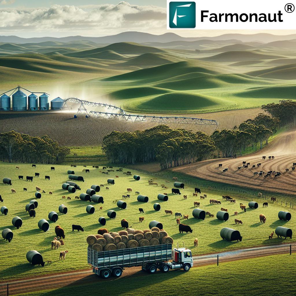
In the vast and diverse landscapes of Western Australia, the combination of challenging climates, remote agricultural regions, and the increasing demand for sustainable food production has made accurate weather information indispensable for our farms, forests, and livestock operations. Today, weather data APIs have emerged as crucial technological enablers, providing real-time, tailored insights into temperature, rainfall, humidity, soil moisture, and more—helping us optimize crop yields, manage livestock health, and ensure responsible forest management.
As global climate variability increases, so does the importance of adopting advanced agriculture weather data solutions. Through integration of cutting-edge application programming interfaces (APIs), agricultural stakeholders in Western Australia are now able to harness accurate data from satellites, weather stations, and atmospheric models directly into their farm management systems. This convergence empowers us—with access to real-time, forecasted, and historical weather data—to make proactive decisions, reducing risk and maximizing resource efficiency.
In this comprehensive guide, we will explore how weather data APIs are revolutionizing Western Australia’s agriculture, forestry, and livestock industries, highlight key technical features, and introduce the most innovative platforms, including the state-of-the-art solutions provided by Farmonaut.
Understanding Weather Data APIs – The Technological Backbone of Modern Farming
Let’s define what a weather data API is and understand why these tools form the backbone of precision agriculture in Western Australia.
What is a Weather Data API?
A weather data API (Application Programming Interface) is a service that lets users and systems programmatically access weather and climate data, typically aggregated from multiple sources like satellites, ground-based stations, and advanced atmospheric models. The structured format of APIs (often JSON or XML) enables seamless integration into websites, applications, decision-support systems, or precision farming tools.
Western Australia, with its vast wheatbelt, fruit orchards, livestock ranges, and forests, is particularly well-positioned to leverage these digital advancements. Through robust weather data API integration, we can:
- Automate data retrieval for time-sensitive farm tasks
- Combine historical and forecasted weather data with real-time IoT sensor feeds
- Improve overall farm management through actionable insights
How Weather Data APIs Work
Weather data APIs aggregate critical metrics—such as air temperature, humidity, rainfall, soil moisture, wind speed, and more—and present this information in an easily consumable, programmatic interface. This abstraction allows developers, agronomists, and farm managers to integrate only the parameters they need, reducing manual entry and analysis.
- Programmatically Query Data: Request current, forecasted, or historical agricultural weather data for a given location or field
- Automated Analysis: Drive precision agriculture tools that react immediately when threshold conditions (e.g., low soil moisture) are met
- Tailored Output: APIs can be configured to deliver only the most relevant weather and crop metrics for different operation sizes (from smallholder farms to regional agribusinesses)
Because of their flexibility and scalability, weather data APIs have quickly become indispensable for Western Australian farmers and forest managers determined to optimize every hectare.
Key Features of Weather Data APIs for Western Australian Agriculture
Selecting the right weather data API is all about finding the features that directly empower the unique needs of Western Australian agriculture, forestry, and livestock management. Here are the most impactful capabilities to seek:
- Localized Data – Hyperlocal Insights for Each Field
- Agricultural Parameters – Soil Metrics, Growing Degree Days, and More
- Historical & Forecast Data – Trends and Predictions
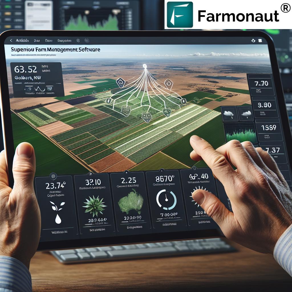
- Integration Capabilities – Seamless Connectivity with Farm Management Systems
1. Localized Data for Precision Operations
Western Australia is the largest state in the country, with highly variable microclimates even within single districts. Effective precision agriculture tools depend on receiving hyper-local data—down to the square kilometer or less. Many advanced weather data APIs, such as the Weenat API, provide high spatial resolution that is critical for:
- Identifying field-by-field temperature or humidity anomalies
- Pinpointing frost risk areas during sensitive crop growth phases
- Optimizing on-site irrigation based on real-time rainfall data
2. Advanced Agricultural Parameters
Generic weather metrics are only part of the picture. Specialized agriculture weather data APIs include essential elements like:
- Soil temperature and soil moisture readings for each field
- Evapotranspiration rates for precise irrigation planning
- Growing Degree Days to time crop planting, harvesting, and pesticide use
These insights support crop yield optimization and resource conservation—goals at the heart of Western Australia’s sustainable agricultural future.
3. Historical and Forecast Data – Planning and Trend Analysis
Having access to years of historical weather data for agriculture enables us to:
- Analyze patterns and prepare for recurring weather events
- Adjust crop rotation and variety selection
- Mitigate risks posed by droughts, frosts, and heatwaves
Accurate forecasted weather information allows proactive planning for:
- Efficient harvesting and sowing schedules
- Optimal fertilizer and irrigation timing
- Livestock shelter and health measures
4. Integration and Automation Capabilities
The most advanced platforms are designed with robust integration capabilities, allowing automated data retrieval for:
- Farm management software
- IoT sensors in the field
- Mobile advisory and reporting apps
Flexible APIs like MetGIS and Farmonaut provide highly localized (even up to 30 meters resolution) and tailored output, ensuring the right data reaches the right users at the right time for decision-making.
“Real-time weather data integration can increase precision farming efficiency by up to 25% in sustainable forestry operations.”
Precision Applications: Unlocking Potential Across Farming, Livestock, and Forestry
Let’s examine the real-world impacts of weather data API integration across the core pillars of Western Australian agriculture: farming, livestock health, and sustainable forestry management applications.
Crop Management and Yield Optimization
- Irrigation Scheduling: By monitoring real-time and forecasted rainfall, temperature, and evapotranspiration data, we can optimize watering schedules to reduce waste and maximize efficiency.
- Pest & Disease Control: Weather-driven decision tools help us align biological pest management with conditions that favor disease outbreaks, reducing the need for chemicals.
- Harvest Timing: Accurate forecasts ensure harvesting at the right window for optimal crop quality and reduced loss.
Integrating Farmonaut’s Satellite-Based Crop Health Monitoring API with local weather data multiplies these benefits, offering a holistic approach to soil moisture and temperature monitoring.
Livestock Health & Welfare
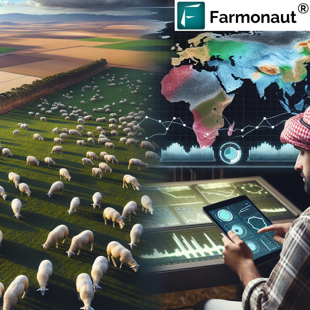
- Extreme Weather Management: Forecasts allow us to prepare shelters or supplementary feeds ahead of heatwaves or cold spells, reducing stress and mortality in cattle, sheep, and goats.
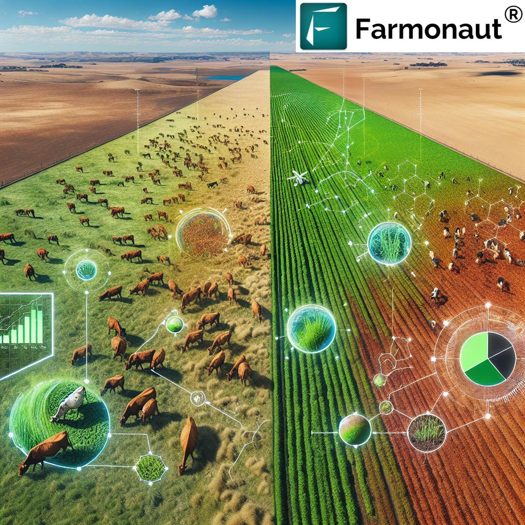
- Grazing Optimization: Combining weather and vegetation indices guides efficient, sustainable grazing rotations.
Paired with localized insights from mobile applications such as Farmonaut’s, ranchers gain actionable intelligence for day-to-day livestock decisions.
Sustainable Forest Management
- Fire Risk Assessment: Wind speed, temperature, humidity, and soil moisture readings help us plan prescribed burns and monitor wildfire risk, crucial for Western Australia’s forests.
- Harvest and Growth Monitoring: Growth models, integrated with agriculture weather data, improve timber yield quality while minimizing ecosystem impact.
- Resource Preservation: Farmonaut’s Carbon Footprinting Solution provides real-time tracking of emissions and resource use, supporting environmental and regulatory goals.
These applications—when powered by real-time and historical weather data—directly address Western Australia’s unique challenges, from vast distances to unpredictable climate events.
The Power of Integration: IoT, AI, and Weather Data APIs in Modern Agriculture
To truly unlock the benefits of real-time weather information for farming in Western Australia, advanced farming data integration combines multiple data sources and emerging technologies:
- IoT Devices: Field-deployed weather stations, soil probes, and moisture sensors continuously monitor in-situ parameters. Weather data APIs aggregate and unify these readings for a full-field overview.
- Artificial Intelligence (AI): AI-driven analytics platforms, such as Farmonaut’s Jeevn AI Advisory System, interpret historical and live weather data to deliver customized, actionable strategies for crop yield optimization and risk mitigation.
- Mobile & Web Applications: Weather APIs enable access to real-time insights—vital to planning, scouting, and operational coordination in mobile workforces.
By integrating IoT and AI in agriculture with robust weather data APIs, Western Australian producers are better equipped to anticipate challenges, adapt quickly, and maintain sustainable operations across wide and varied landscapes.
Farmonaut: Advancing Precision Agriculture and API Integration
At the forefront of agriculture weather data technology in Western Australia, Farmonaut empowers us through intelligent, affordable, and globally accessible satellite-based farm management solutions. Our commitment is to bridge the gap between traditional farming practices and modern, data-driven decision making.
Farmonaut Platform: Key Technologies
- Multispectral Satellite-Based Crop Health Monitoring – NDVI-driven analysis to determine vegetation health and detect early crop stress or disease
- Soil Moisture and Temperature Monitoring – Real-time farm-level insights for precision irrigation and drought risk management
- Jeevn AI Advisory System – Personalized farm advice based on weather, satellite, and agronomic data analysis
- Blockchain-Based Traceability – Transparency for agri-supply chains; learn more here
- Resource, Fleet, and Carbon Footprint Management – Tools to optimize inputs, track machinery, and audit environmental impact; discover our Fleet Management Features
What sets Farmonaut apart? We remove the prohibitive cost barrier of traditional precision agriculture tools, delivering our solutions via web, android, and iOS apps. For developers and large agribusinesses, we provide direct API access to all satellite, agricultural, and weather data—making farming data integration, automation, and analysis easy and scalable for all.
Choose Farmonaut For:
- Affordable, scalable, and easy-to-use farm management technology
- Subscription packages tailored for individual farmers, agribusinesses, cooperatives, and government agencies
- Web, mobile, and API access for seamless, real-time insights and remote monitoring
- Support for large scale farm management with actionable, precise data. Learn more about Agro Admin App for enterprise management here
- Facilitating access to low-risk crop loans and agricultural insurance via advanced satellite verification (details here)
Together, we can build smarter, more sustainable futures for Western Australia’s farms, forests, and food systems.
Feature Comparison Table: Weather Data API Impact for Precision Farming in Western Australia
See how various weather data API features translate to practical, measurable benefits for farmers, foresters, and livestock managers in Western Australia. This comparison highlights estimated yield improvements, sustainability advantages, and precise applications unlocked by each API capability.
| API Feature | Benefit to Agriculture | Estimated Impact on Yield (%) | Sustainability Contribution |
|---|---|---|---|
| Real-Time Weather Data (incl. rainfall & temp) | Disease Prevention, Timely Sowing & Harvesting | +8% to +14% | Reduces crop loss, minimizes unnecessary input usage |
| Soil Moisture & Temperature Monitoring | Efficient Irrigation Scheduling, Drought Response | +10% | Reduces water use by up to 25%; better drought resilience |
| Evapotranspiration & Advanced Agricultural Parameters | Irrigation Precision, Input Optimization | +12% | Prevents overwatering/fertilizing, protects local waterways |
| Historical Weather Data Analysis | Long-term Planning, Trend Analysis, Crop Variety Selection | +7% | Promotes crop rotation, reduces monoculture risks |
| High-Resolution APIs (Down to 30m) | Precision Site-Specific Crop and Forest Management | +9% | Limits chemical drift, conserves inputs on per-field basis |
| Real-Time Livestock & Forest Monitoring Integration | Animal Health, Wildfire Risk Reduction, Grazing Management | +11% | Protects biodiversity, reduces overgrazing & ecosystem degradation |
Challenges, Considerations, and the Path to Optimized Operations
While weather data APIs provide immense value, implementing them across different agricultural systems in Western Australia presents several challenges:
- Data Quality and Accuracy: Always select APIs sourcing information from reputable, regularly calibrated stations and satellites. Precision is paramount for automated operations and decision-support tools.
- Cost Implications: Advanced or specialized data (e.g., sub-kilometer or soil-layered metrics) may have a higher price tag. Assess the return on investment based on your operation size and goals.
- Integration Complexity: Evaluate how well new APIs plug into your current digital ecosystem (farm management, IoT sensors, advisory apps). Look for clear developer documentation and active support resources.
- Connectivity in Remote Areas: While most APIs are cloud-based, consider local caching or redundancy strategies for areas of the WA Wheatbelt and Outback with limited mobile data coverage.
- Customization Needs: Not all platforms natively support specialized WA crops or forestry practices. Seek APIs and partners (like Farmonaut) that enable custom parameter selection and report design.
Overcoming these challenges ensures that you unlock year-on-year improvements and maximize the impact of data-driven farming across Western Australia.
Future Trends: What’s Next for Farming Data Integration in WA?
The future of agricultural innovation in Western Australia is data-rich, interconnected, and increasingly automated. The most promising trends on the horizon include:
- IoT Expansion: Field devices will not only measure, but also control, automating autonomous irrigation, fertigation, and even drone-based crop spraying in response to weather API triggers.
- AI-Driven Decision Making: Artificial Intelligence will analyze massive datasets from years of WA-specific climate and yield records, enabling predictive modeling for every paddock and season.
- Blockchain for Traceability: Secure, transparent product journeys—from field to fork—will boost consumer confidence and open premium export markets (powered, in part, by Farmonaut’s traceability features).
- Carbon Footprinting & Sustainability: Regulatory and consumer demand for carbon-neutral products will push innovation in farm-level emissions measurement, management, and audit.
- Collaborative, Multi-API Platforms: The ability to combine weather, crop, soil, and external market data feeds into a single interface, customized for every Western Australian farm or forest asset.
Western Australia is poised to lead in sustainable, smart agriculture by embracing these integrated, API-driven technologies.
Getting Started: Accessing Weather & Satellite Data with Farmonaut
Ready to elevate your Western Australian farm, forest, or agribusiness with actionable weather data, crop health, and resource management? Farmonaut makes it easy with flexible access options—whether you prefer API integration, web browser dashboard, or mobile.
With Farmonaut, you can subscribe to advanced solutions for carbon footprinting, fleet & resource management, traceable supply chains, crop loans & insurance, and large scale farm management. Every solution is built for WA’s geographies and diversified industries.
FAQ: Weather Data APIs & Farmonaut in Western Australian Agriculture
What is the main advantage of using a weather data API in Western Australia?
By accessing hyperlocal, real-time, historical, and forecast weather data via APIs, Western Australian farmers and forest managers can optimize decisions on watering, fertilizing, pest control, and harvest timing—boosting yield and minimizing resource wastage, especially across vast and climate-diverse landscapes.
How does farm management improve with weather API integration?
Operational efficiency rises significantly through automation of data-driven tasks (e.g., smart irrigation), while trend analysis (historical data) enables better crop planning and risk mitigation. Integration also reduces manual labor and errors, supporting long-term sustainability and profitability.
Can I use Farmonaut APIs in my own app or software system?
Absolutely! Farmonaut offers comprehensive API documentation (see developer docs), enabling seamless integration of satellite, weather, and crop health data directly into your existing web, mobile, or decision-support applications.
Is Farmonaut’s platform suitable for livestock, forestry, and crop farmers?
Yes. Farmonaut is built to support all sectors of Western Australian agriculture, with specialized tools for precision crop management, livestock health optimization, and sustainable forest management applications.
How can I subscribe or try Farmonaut’s tools?
You can start by exploring Farmonaut’s web or mobile app or by subscribing through the convenient pricing section above. For developers and agribusinesses, API access is available for direct weather and satellite data stream integration (Farmonaut API).
How does real-time weather data improve resource sustainability?
It allows for the efficient use of water and chemicals, minimizes environmental impact, supports carbon footprint monitoring, and helps comply with evolving sustainability regulations affecting Western Australian agriculture.
Summary: Empowering WA Agriculture, Forestry, and Beyond
In summary, weather data APIs have become the digital backbone of Western Australia’s agricultural and forestry sectors. By tailoring real-time, localized weather and soil parameters to the core needs of every crop, animal, and hectare, these tools enable us all to:
- Optimize decisions and resource allocation for higher, more reliable yields
- Safeguard livestock health under changing environmental conditions
- Enhance sustainable forest management applications across complex WA ecosystems
- Embrace the future of IoT and AI in agriculture—intelligent, automated, and proactive
- Stay ahead of compliance, environmental, and food traceability demands
Platforms like Farmonaut are putting the power of advanced analytics, weather data integration, and crop monitoring into the hands of Western Australian producers, from single paddocks to large-scale enterprises. With affordable subscriptions, full mobile/web/API access, and support for precision agriculture tools, we can all make data and technology work for our farms, our environment, and our communities—today and for generations to come.
Ready to unlock the future of Western Australia’s agriculture with trusted weather data API solutions? Start now with Farmonaut.


