Here’s a comprehensive blog post based on your requirements:
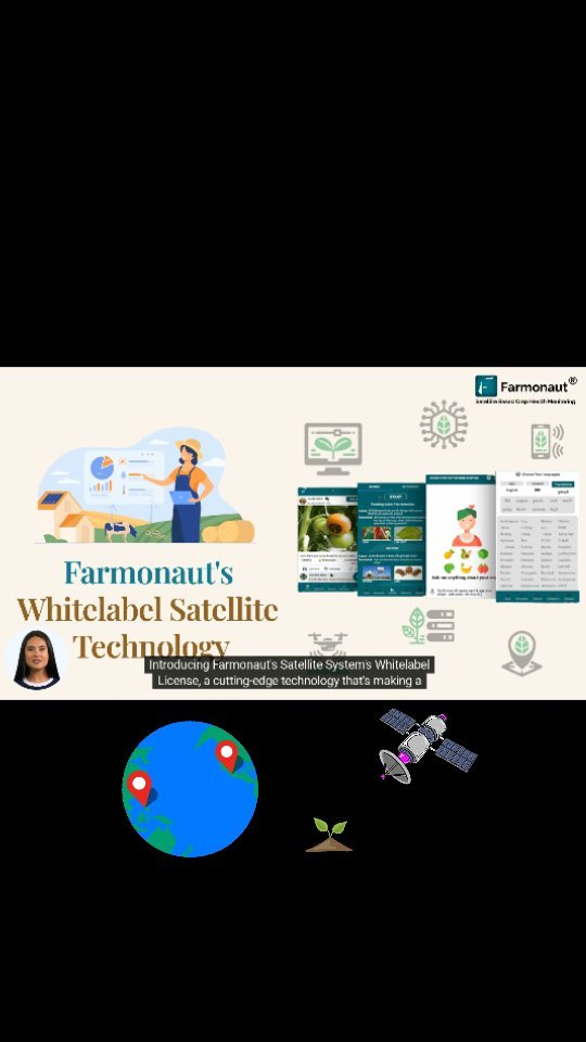
Revolutionizing Agriculture: Farmonaut’s Satellite System Whitelabel Licensing
Every day, farmers stand at the forefront of our food security, ensuring a steady supply of nourishment for our communities. However, they face increasingly complex challenges in managing their crops efficiently and sustainably. At Farmonaut®, we recognize these challenges and are committed to empowering farmers with innovative solutions that make a real difference.
Introducing Farmonaut’s Satellite System Whitelabel Licensing
We are thrilled to introduce Farmonaut®’s Satellite System Whitelabel Licensing, a game-changing innovation in modern agriculture designed for both businesses and farmers. This cutting-edge technology harnesses the power of satellite technology to revolutionize crop management and promote sustainable farming practices.
The Power of Satellite Technology in Agriculture
Satellite technology has emerged as a powerful tool in the agricultural sector, offering unprecedented insights into farm operations. At Farmonaut, we leverage this technology to provide farmers with real-time data and actionable insights, enabling them to optimize their crop monitoring and management strategies.
Benefits of Satellite-Based Crop Monitoring
- Comprehensive coverage of large areas
- Frequent and consistent data collection
- Non-invasive monitoring technique
- Cost-effective compared to traditional methods
- Ability to detect early signs of crop stress
Farmonaut’s Satellite System: A Comparative Advantage
While drones and IoT devices have their place in agriculture, Farmonaut’s satellite-based system offers unique advantages. Here’s a comparison:
| Feature | Farmonaut Satellite System | Drone-based Monitoring | IoT-based Monitoring |
|---|---|---|---|
| Coverage Area | Vast (Global) | Limited (Local) | Very Limited (Point-based) |
| Frequency of Data Collection | Daily | As per flight schedule | Continuous but localized |
| Initial Setup Cost | Low | High | Medium to High |
| Operational Complexity | Low | High | Medium |
| Weather Dependency | Low | High | Medium |
| Scalability | Highly Scalable | Limited Scalability | Moderately Scalable |
Key Features of Farmonaut’s Satellite System
Our satellite system is designed to provide comprehensive insights into various aspects of farm management:
1. Advanced Crop Health Monitoring
Our system utilizes multispectral satellite imagery to assess crop health with unprecedented accuracy. By analyzing vegetation indices such as NDVI (Normalized Difference Vegetation Index), we provide farmers with a clear picture of their crop’s health status.
2. Soil Moisture Analysis
Efficient water management is crucial for sustainable farming. Our satellite technology allows for precise soil moisture analysis, helping farmers optimize their irrigation schedules and conserve water resources.
3. Weather Pattern Tracking
By integrating satellite data with advanced meteorological models, we offer accurate weather forecasts and historical weather data. This information is crucial for planning farm activities and mitigating weather-related risks.
4. Pest and Disease Prediction
Our AI-powered algorithms analyze satellite imagery and environmental data to predict potential pest infestations and disease outbreaks. This early warning system allows farmers to take preventive measures, reducing crop losses and minimizing the use of pesticides.
5. Yield Estimation
Using historical data, current crop health information, and predictive modeling, our system provides accurate yield estimates. This helps farmers and agribusinesses in better planning and resource allocation.
The Farmonaut Advantage: Real-Time Data for Informed Decision Making
At the heart of Farmonaut’s Satellite System is our commitment to providing farmers with real-time data. This timely information empowers farmers to make informed decisions quickly, adapting their strategies to changing conditions on the ground.
Benefits of Real-Time Agricultural Data:
- Timely Interventions: Identify and address issues before they escalate.
- Resource Optimization: Allocate water, fertilizers, and other inputs more efficiently.
- Improved Planning: Make data-driven decisions for planting, harvesting, and crop rotation.
- Risk Mitigation: Anticipate and prepare for potential challenges.
- Increased Productivity: Maximize yields through optimized crop management.
Sustainable Farming: A Core Focus
At Farmonaut, we believe that the future of agriculture lies in sustainable practices. Our satellite system is designed to support and promote sustainable farming methods:
- Precision Agriculture: By providing precise data on crop needs, we help reduce overuse of resources.
- Water Conservation: Our soil moisture analysis aids in efficient water management.
- Reduced Chemical Usage: Early detection of pest and disease issues minimizes the need for pesticides.
- Soil Health Monitoring: Long-term tracking of soil health indicators promotes sustainable land use.
- Carbon Footprint Reduction: Optimized resource use leads to lower overall carbon emissions.
Whitelabel Licensing: Empowering Businesses
Our Whitelabel Licensing option allows businesses to leverage Farmonaut’s powerful satellite technology under their own brand. This presents a unique opportunity for agricultural companies, cooperatives, and technology providers to offer cutting-edge satellite-based services to their clients.
Benefits of Whitelabel Licensing:
- Rapid deployment of advanced agricultural technology
- Customizable solutions to fit specific business needs
- Enhanced brand value through association with innovative technology
- Access to Farmonaut’s continuous technological advancements
- Comprehensive support and training from our expert team
The Future of Farming with Farmonaut
As we look to the future, Farmonaut is committed to continually evolving our technology to meet the changing needs of farmers and agribusinesses. Some of our upcoming features include:
- Integration with IoT devices for even more precise data collection
- Advanced AI-driven crop recommendations
- Blockchain-based traceability for improved supply chain management
- Enhanced climate change impact analysis and adaptation strategies
Getting Started with Farmonaut
Ready to revolutionize your farming operations with Farmonaut’s Satellite System? Here’s how you can get started:
- Visit our website: Farmonaut App
- Download our mobile app:
- For developers interested in integrating our API: Farmonaut API
- Explore our API documentation: API Documentation
Pricing Plans
Choose a plan that fits your needs:
FAQ Section
Q1: How accurate is Farmonaut’s satellite data?
A1: Our satellite data is highly accurate, with resolution down to 3 meters for certain applications. We use a combination of optical and radar satellites to ensure consistent data quality even in cloudy conditions.
Q2: How often is the satellite data updated?
A2: We provide daily updates for most regions, with some areas receiving multiple updates per day depending on satellite coverage.
Q3: Can Farmonaut’s system work for small farms?
A3: Absolutely! Our system is scalable and can provide valuable insights for farms of all sizes, from small holdings to large industrial operations.
Q4: Is an internet connection required to use Farmonaut’s services?
A4: While an internet connection is needed to receive real-time updates, our mobile app can store some data for offline use in areas with limited connectivity.
Q5: How does Farmonaut support sustainable farming practices?
A5: By providing precise data on crop needs, soil health, and resource usage, we help farmers optimize their inputs, reduce waste, and implement more environmentally friendly farming practices.
Q6: What type of support does Farmonaut offer?
A6: We offer comprehensive customer support, including technical assistance, training sessions, and regular webinars on how to best utilize our technology.
Q7: Can Farmonaut’s system integrate with other farm management software?
A7: Yes, we offer API access that allows for integration with various farm management systems and other agricultural technologies.
Conclusion
Farmonaut’s Satellite System Whitelabel Licensing represents a significant leap forward in agricultural technology. By harnessing the power of satellite imagery, AI, and real-time data analysis, we’re empowering farmers and agribusinesses to make informed decisions, optimize their operations, and embrace sustainable farming practices.
As we continue to innovate and expand our services, we remain committed to our core mission: supporting farmers in their vital work of feeding the world. Join us in this agricultural revolution and experience the future of farming today with Farmonaut.
For more information or to schedule a demo, please contact our sales team or visit our website. Together, let’s cultivate a more sustainable and productive future for agriculture!