Revolutionizing Agriculture: How Satellite Imagery and Precision Farming Are Transforming Crop Health Monitoring
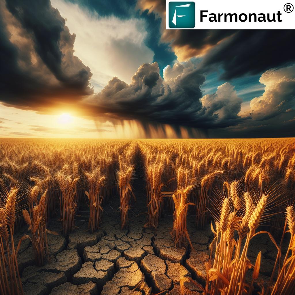
“Satellite-based NDVI analysis can detect crop stress up to 2 weeks earlier than visual inspection, enabling timely interventions.”
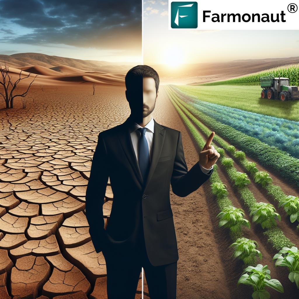
In the ever-evolving landscape of agriculture, we are witnessing a technological revolution that is reshaping the way we approach crop health monitoring and farm management. At the forefront of this transformation are satellite imagery and precision farming technologies, which are empowering farmers with unprecedented insights and capabilities. In this comprehensive exploration, we’ll delve into how these cutting-edge tools are revolutionizing agriculture, enhancing productivity, and paving the way for more sustainable farming practices.
The Dawn of Precision Agriculture
Precision agriculture, also known as precision farming, is a management concept that leverages advanced technologies to observe, measure, and respond to variability in crops. This approach allows farmers to make more informed decisions, optimize resource use, and ultimately increase yields while reducing environmental impact.
At the heart of precision agriculture lies remote sensing technology, particularly satellite imagery, which provides a bird’s-eye view of agricultural lands. This technology, combined with data analytics and smart farming solutions, is transforming the agricultural landscape in ways we could only dream of a few decades ago.
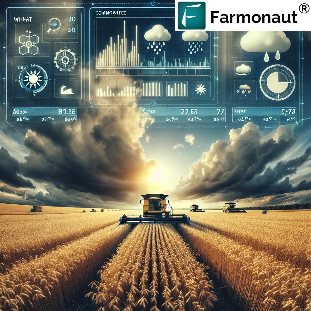
The Power of Satellite Imagery in Agriculture
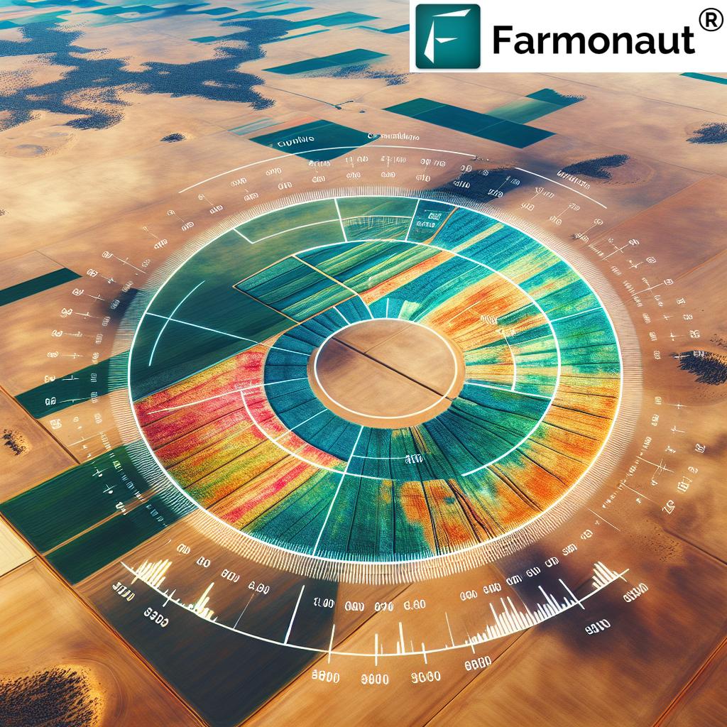
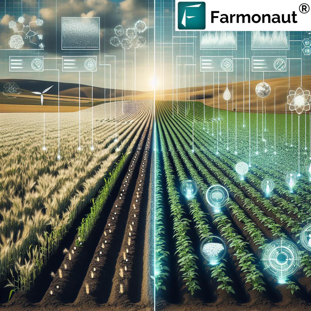
Satellite imagery for crops has become an indispensable tool in modern farming. By capturing multispectral images of agricultural lands, satellites provide valuable data on various aspects of crop health and field conditions. Here’s how satellite imagery is making a difference:
- Comprehensive Coverage: Satellites can monitor vast areas of farmland simultaneously, providing a holistic view of agricultural regions.
- Regular Updates: Frequent satellite passes allow for consistent monitoring, enabling farmers to track changes over time.
- Non-Invasive Monitoring: Unlike ground-based methods, satellite imagery doesn’t require physical access to fields, reducing disruption to crops.
- Cost-Effective: Compared to traditional surveying methods, satellite-based monitoring is often more economical, especially for large-scale operations.
One of the key applications of satellite imagery in agriculture is the use of vegetation indices, particularly the Normalized Difference Vegetation Index (NDVI) for crop analysis. NDVI utilizes the unique spectral signatures of healthy vegetation to assess crop vigor and identify potential issues before they become visible to the naked eye.
Crop Health Monitoring: A New Era
Crop health monitoring has been revolutionized by the integration of satellite imagery and precision farming technology. Traditional methods of crop assessment, which often relied on manual field inspections, are being supplemented or replaced by more efficient and accurate satellite-based approaches. Here’s how crop health monitoring has evolved:
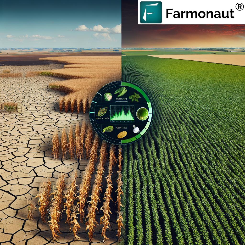
- Early Stress Detection: Satellite imagery can reveal signs of crop stress, such as nutrient deficiencies or pest infestations, weeks before they become visible to the human eye.
- Precise Problem Identification: By analyzing spectral data, farmers can pinpoint the exact location and nature of crop issues, allowing for targeted interventions.
- Temporal Analysis: Regular satellite imagery enables farmers to track crop development over time, providing insights into growth patterns and potential yield.
- Resource Optimization: By identifying areas of low productivity or stress, farmers can allocate resources more efficiently, reducing waste and improving overall farm performance.
These advancements in crop health monitoring are not just improving yields; they’re also contributing to more sustainable agriculture practices by enabling precise application of inputs and reducing environmental impact.
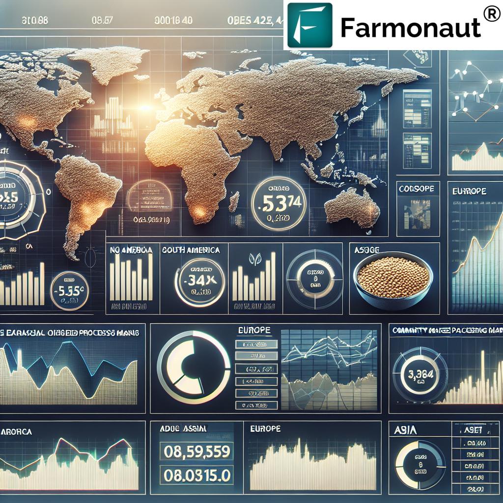
Agricultural Data Analytics: Turning Insights into Action
The true power of satellite imagery and remote sensing in agriculture lies in the ability to analyze and interpret the vast amounts of data collected. Agricultural data analytics platforms are the engines that transform raw satellite data into actionable insights for farmers. These platforms typically offer:
- Data Integration: Combining satellite imagery with other data sources such as weather forecasts, soil samples, and historical yield data.
- AI-Powered Analysis: Utilizing machine learning algorithms to detect patterns, predict outcomes, and generate recommendations.
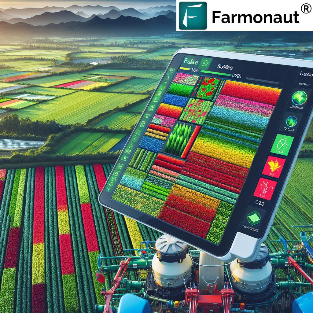
- User-Friendly Interfaces: Presenting complex data in easy-to-understand formats, often through mobile apps or web portals.
- Customized Alerts: Notifying farmers of potential issues or optimal times for various farming activities.
By leveraging these analytical capabilities, farmers can make data-driven decisions that optimize every aspect of their operations, from planting to harvesting.
Precision Farming Technology: Tools of the Trade
Precision farming technology encompasses a wide range of tools and techniques that work in concert with satellite imagery to revolutionize agriculture. Some of the key technologies include:
- GPS-Guided Machinery: Tractors and other farm equipment equipped with GPS can perform tasks with centimeter-level accuracy, reducing overlaps and gaps in field operations.
- Variable Rate Technology (VRT): This allows for the precise application of inputs such as fertilizers and pesticides based on the specific needs of different areas within a field.
- Soil Sensors: In-ground sensors provide real-time data on soil moisture, temperature, and nutrient levels, complementing satellite-based observations.
- Drones: While not replacing satellites, drones can provide high-resolution imagery and data collection for smaller areas or when rapid assessment is needed.
These technologies, when integrated with satellite-based insights, create a powerful ecosystem for precision agriculture, enabling farmers to manage their crops with unprecedented precision and efficiency.
“Precision farming technologies have been shown to reduce water usage in agriculture by up to 30% through optimized irrigation practices.”
Farm Management Software: The Control Center of Modern Agriculture
At the heart of precision farming lies sophisticated farm management software that serves as the central hub for all agricultural data and operations. These platforms integrate satellite imagery, weather data, IoT sensor inputs, and other relevant information to provide farmers with a comprehensive view of their operations. Key features of modern farm management software include:
- Real-time Crop Monitoring: Continuous updates on crop health and field conditions.
- Task Planning and Scheduling: Automated suggestions for optimal times to perform various farming activities.
- Resource Management: Tools for tracking and optimizing the use of water, fertilizers, and other inputs.
- Yield Prediction: Advanced algorithms that forecast crop yields based on current conditions and historical data.
- Financial Planning: Integration with accounting systems to help farmers make informed financial decisions.
By centralizing all aspects of farm management, these software solutions enable farmers to make holistic decisions that consider the complex interplay of various factors affecting crop health and productivity.
Yield Prediction Tools: Forecasting the Future of Crops
One of the most exciting applications of satellite imagery and precision farming technology is in the realm of yield prediction. Advanced yield prediction tools leverage historical data, current crop conditions, and predictive modeling to forecast crop yields with increasing accuracy. These tools offer several benefits:
- Early Planning: Farmers can make informed decisions about storage, transportation, and marketing well in advance of harvest.
- Risk Management: By identifying potential yield shortfalls early, farmers can take corrective actions or adjust their financial plans accordingly.
- Market Insights: Accurate yield predictions can help stabilize markets by providing reliable estimates of crop supply.
- Resource Allocation: Farmers can optimize the allocation of resources based on expected yields in different parts of their fields.
As these prediction tools become more sophisticated, incorporating machine learning and AI, their accuracy and reliability continue to improve, making them an indispensable part of modern farm management.
Sustainable Agriculture Practices: A Greener Future
The integration of satellite imagery and precision farming technology is not just about increasing yields; it’s also paving the way for more sustainable agriculture practices. By enabling precise application of inputs and better resource management, these technologies are helping to reduce the environmental impact of farming. Some key sustainability benefits include:
- Reduced Chemical Use: Precise application of pesticides and fertilizers minimizes runoff and environmental contamination.
- Water Conservation: Satellite-based irrigation management helps conserve water by ensuring crops receive only what they need.
- Soil Health Preservation: By avoiding over-tilling and over-application of inputs, precision farming helps maintain soil health and biodiversity.
- Carbon Footprint Reduction: Optimized farm operations and resource use lead to lower overall carbon emissions from agricultural activities.
These sustainable practices not only benefit the environment but also contribute to long-term farm profitability by preserving resources and reducing input costs.
Smart Farming Solutions: The Integration of Technology
Smart farming solutions represent the culmination of various precision agriculture technologies working in harmony. These integrated systems combine satellite imagery, IoT sensors, AI-driven analytics, and automated farm equipment to create a seamless, data-driven farming ecosystem. Key components of smart farming solutions include:
- Automated Irrigation Systems: Using satellite and sensor data to optimize water usage.
- Intelligent Pest Management: Early detection and targeted treatment of pest infestations.
- Precision Planting: Optimizing seed placement based on soil conditions and field topology.
- Automated Harvesting: Using predictive analytics to determine the optimal time and method for harvesting.
These smart farming solutions are transforming agricultural operations, making them more efficient, productive, and sustainable.
The Role of AI and Machine Learning in Agriculture
Artificial Intelligence (AI) and Machine Learning (ML) are playing an increasingly crucial role in interpreting the vast amounts of data generated by satellite imagery and other precision farming technologies. These advanced computational techniques are being applied in various ways:
- Pattern Recognition: Identifying complex patterns in crop growth and health that might be missed by human observers.
- Predictive Modeling: Forecasting crop yields, pest outbreaks, and weather impacts with increasing accuracy.
- Automated Decision Support: Providing farmers with AI-driven recommendations for optimal farm management practices.
- Image Analysis: Enhancing the interpretation of satellite and drone imagery to detect subtle changes in crop conditions.
As AI and ML technologies continue to advance, their integration with satellite imagery and precision farming tools is expected to unlock even greater potential for agricultural optimization and innovation.
Challenges and Future Directions
While the integration of satellite imagery and precision farming technology has brought about significant advancements in agriculture, there are still challenges to overcome and exciting future directions to explore:
- Data Integration: Improving the seamless integration of data from various sources remains a key challenge.
- Accessibility: Making advanced farming technologies accessible and affordable for small-scale farmers is crucial for widespread adoption.
- Connectivity: Enhancing rural internet connectivity to enable real-time data transfer and analysis.
- Skill Development: Training farmers and agricultural professionals to effectively use and interpret advanced farming technologies.
- Regulatory Frameworks: Developing appropriate regulations for data privacy, drone usage, and other aspects of precision farming.
Looking to the future, we can expect to see continued advancements in satellite technology, AI capabilities, and the integration of blockchain for improved traceability in the agricultural supply chain. These developments promise to further revolutionize crop health monitoring and farm management, pushing the boundaries of what’s possible in modern agriculture.
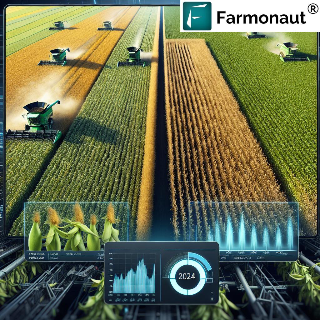
Comparison: Traditional vs. Precision Farming Methods
| Farming Aspect | Traditional Method | Precision Farming Method | Benefits of Precision Farming |
|---|---|---|---|
| Crop Health Assessment | Visual inspection, periodic field walks | Satellite imagery, NDVI analysis, AI-powered diagnostics | Early detection of issues, comprehensive coverage, data-driven insights |
| Irrigation Management | Scheduled watering, manual checks | Soil moisture sensors, weather data integration, automated systems | Water conservation, optimal crop hydration, reduced labor |
| Fertilizer Application | Uniform application across fields | Variable rate technology, targeted application based on soil needs | Reduced chemical use, improved soil health, cost savings |
| Pest and Disease Detection | Regular field scouting, reactive treatments | Satellite and drone monitoring, AI-based early warning systems | Proactive management, reduced crop losses, minimal pesticide use |
| Yield Forecasting | Historical data, manual estimates | AI-powered predictive models, real-time crop health data | Accurate predictions, better planning, improved market strategies |
The Impact of Precision Farming on Agricultural Productivity
The adoption of precision farming technologies, powered by satellite imagery and advanced data analytics, is having a profound impact on agricultural productivity. Here are some key areas where we’re seeing significant improvements:
- Increased Crop Yields: By optimizing every aspect of crop management, precision farming can lead to substantial increases in yield, often in the range of 10-15% or more.
- Resource Efficiency: Precision application of water, fertilizers, and pesticides can reduce input costs while maintaining or improving crop health.
- Labor Optimization: Automated systems and data-driven decision-making can significantly reduce the labor required for various farming tasks.
- Risk Mitigation: Early detection of crop stress and accurate weather forecasting help farmers take proactive measures to protect their crops.
- Quality Improvement: Precise management of growing conditions can lead to higher quality produce, potentially commanding premium prices in the market.
These productivity gains are not just benefiting individual farmers; they’re contributing to global food security by enabling more efficient and sustainable food production.
The Role of Farmonaut in Precision Agriculture
In the landscape of precision agriculture solutions, Farmonaut stands out as a pioneering provider of advanced, satellite-based farm management tools. Their platform integrates cutting-edge technologies to offer farmers comprehensive insights and management capabilities:
- Satellite-Based Crop Monitoring: Farmonaut utilizes multispectral satellite imagery to provide real-time insights into crop health, including NDVI analysis and soil moisture assessment.
- AI-Powered Advisory: The Jeevn AI system offers personalized recommendations based on real-time data and expert knowledge.
- Blockchain Traceability: Farmonaut’s blockchain integration ensures transparency and security in agricultural supply chains.
- Resource Management Tools: The platform includes features for efficient fleet and resource management, helping agribusinesses optimize their operations.
- Environmental Impact Tracking: Farmonaut offers tools for carbon footprint monitoring, supporting sustainable farming practices.
By making these advanced technologies accessible and affordable, Farmonaut is playing a crucial role in democratizing precision agriculture and empowering farmers of all scales to embrace data-driven farming practices.


The Future of Agriculture: Embracing Technology for Sustainable Growth
As we look to the future, it’s clear that the integration of satellite imagery, precision farming technology, and advanced data analytics will continue to shape the agricultural landscape. This technological revolution is not just about increasing productivity; it’s about creating a more sustainable and resilient food production system that can meet the challenges of a growing global population and changing climate.
Key trends to watch in the coming years include:
- Increased Automation: From planting to harvesting, we can expect to see more autonomous farm equipment guided by satellite data and AI.
- Enhanced Predictive Capabilities: As AI and machine learning algorithms improve, yield prediction and risk assessment tools will become even more accurate and valuable.
- Greater Integration of IoT: The Internet of Things will play a larger role in connecting various farm systems and devices, creating a more seamless and responsive farming ecosystem.
- Focus on Sustainability: Precision farming technologies will increasingly be leveraged to support regenerative agriculture practices and reduce the environmental impact of farming.
- Democratization of Technology: As costs decrease and user interfaces improve, advanced farming technologies will become accessible to a wider range of farmers, including smallholders in developing countries.
By embracing these technologies and continuing to innovate, the agricultural sector can meet the dual challenges of feeding a growing population while preserving our planet’s resources for future generations.
Conclusion: A New Era of Smart, Sustainable Farming
The revolution in agriculture brought about by satellite imagery and precision farming technologies is transforming the way we approach crop health monitoring and farm management. From providing early detection of crop stress to enabling precise resource application, these advanced tools are empowering farmers to make data-driven decisions that optimize productivity while promoting sustainability.
As we’ve explored in this article, the benefits of these technologies are far-reaching:
- Improved crop yields and quality
- Enhanced resource efficiency and reduced environmental impact
- Better risk management and decision-making capabilities
- Increased overall farm profitability
While challenges remain, particularly in terms of accessibility and data integration, the trajectory is clear: the future of agriculture is smart, precise, and data-driven. By embracing these innovative technologies and approaches, farmers and agribusinesses can position themselves at the forefront of a more productive and sustainable agricultural future.
As we continue to push the boundaries of what’s possible in agriculture, platforms like Farmonaut are playing a crucial role in making advanced farming technologies accessible to a wider audience. By democratizing access to satellite-based insights and precision farming tools, they are helping to create a more resilient and efficient global food production system.
The revolution in agriculture is here, and it’s being driven by the power of satellite imagery, data analytics, and precision farming technology. As we look to the future, one thing is certain: the farms of tomorrow will be smarter, more efficient, and more sustainable than ever before.
FAQ Section
Q: What is precision agriculture?
A: Precision agriculture is a farming management concept that uses technology like satellite imagery, GPS, and IoT sensors to observe, measure, and respond to variability in crops. It allows farmers to optimize yields and reduce resource waste by applying the right treatment in the right place at the right time.
Q: How does satellite imagery help in crop health monitoring?
A: Satellite imagery provides a bird’s-eye view of farmlands, capturing multispectral data that can reveal crop health issues, soil moisture levels, and growth patterns. This data, when analyzed, can detect problems like pest infestations or nutrient deficiencies before they’re visible to the naked eye.
Q: What is NDVI and how is it used in agriculture?
A: NDVI (Normalized Difference Vegetation Index) is a measure of plant health derived from satellite imagery. It uses the visible and near-infrared light reflected by vegetation to assess crop vigor. Farmers use NDVI maps to identify areas of stress in their fields and make targeted interventions.
Q: How does precision farming contribute to sustainable agriculture?
A: Precision farming promotes sustainability by enabling more efficient use of resources. It allows for targeted application of water, fertilizers, and pesticides, reducing waste and environmental impact. It also helps in conserving soil health and reducing the carbon footprint of farming operations.
Q: What role does AI play in modern agriculture?
A: AI in agriculture helps in analyzing vast amounts of data from satellites, weather stations, and field sensors. It can predict crop yields, detect diseases early, optimize irrigation, and provide personalized recommendations for farm management, making farming more efficient and productive.
Earn With Farmonaut: Affiliate Program
Earn 20% recurring commission with Farmonaut’s affiliate program by sharing your promo code and helping farmers save 10%. Onboard 10 Elite farmers monthly to earn a minimum of $148,000 annually—start now and grow your income!