Agriculture Drone Software: Boost Yields Instantly!
“Over 70% of modern farms use drone software for aerial field mapping and precision crop management worldwide.”
Introduction: The Rise of Agriculture Drone Software
Welcome to the era where agriculture drone software drives a new green revolution! As farmers and agri-professionals, we continuously seek innovative solutions to boost our yields and sustainability. Today, the combination of drone technology, advanced analytics, and data-driven farm management is transforming how we monitor, analyze, and manage our fields.
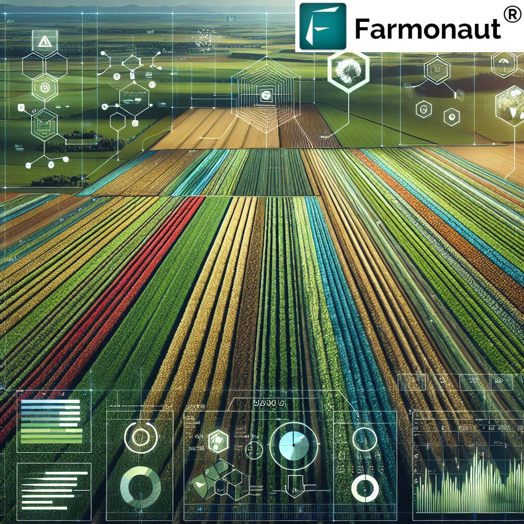
With precision aerial field mapping and real-time analytics, agriculture drone software empowers us to optimize resource usage, detect crop health issues, and make informed decisions, all while minimizing environmental impact. In this comprehensive guide, we’ll explore everything you need to know about this transformative technology—from key features, top platforms, and measurable impacts to cutting-edge providers like Farmonaut, a leader in AI-powered, satellite-based agricultural insights.
Key Features of Agriculture Drone Software
As we strive to implement precision agriculture technology into our operations, understanding the core functionalities of agriculture drone software is paramount. Below, we break down the digital farming tools that are revolutionizing both smallholder and large-scale farming:
1. Field Mapping and Analysis
High-resolution aerial field mapping tools like PIX4Dfields empower us to create detailed maps rapidly. These maps help us assess crop health, monitor different growth stages, and identify localized issues—including pest infestations, nutrient deficiencies, and weed invasions. By visualizing our crops’ status, we efficiently plan interventions for optimal yields.
2. Variable Rate Application (VRA)
Variable rate application in agriculture is made practical with platforms such as Agremo. We can generate precise prescription maps—guiding the targeted distribution of fertilizers, pesticides, and other essential inputs. This targeted approach not only minimizes waste but ensures fertilizers and chemicals are applied exactly where the crops need them most.
3. Weed Detection and Management
Weed detection with drones is now possible through advanced geospatial platforms like AGRISTRY. By automatically generating field analysis maps using high-resolution aerial imagery, these tools help us identify and control drift-prone pests and weeds with unmatched accuracy, ensuring healthier crops and reduced input costs.
4. Autonomous Flight Planning
Modern software provides autonomous flight planning capabilities, allowing us to set parameters for drone missions. The system ensures efficient, consistent coverage—collecting aerial imagery that underpins precise field analysis and effective data collection, ultimately driving more reliable drone crop monitoring.
5. Data Analytics and Reporting
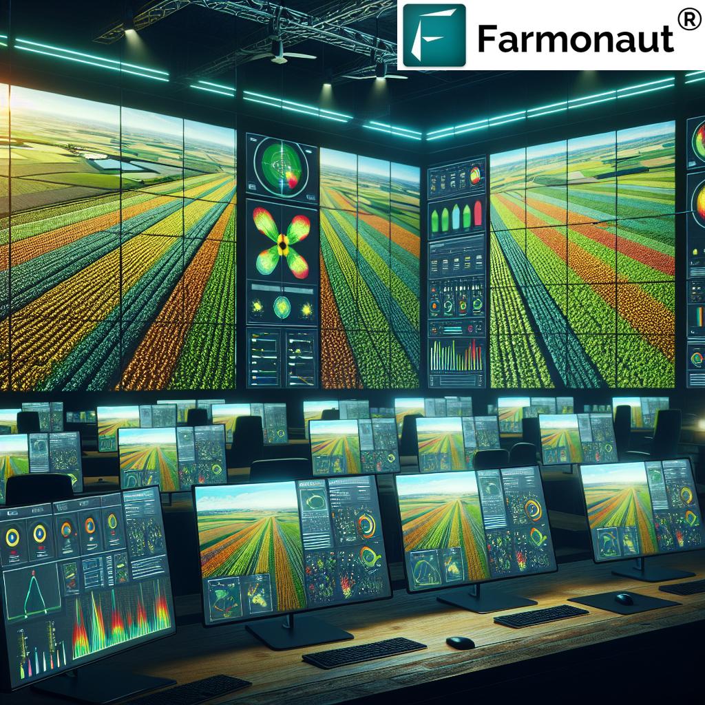
Drone data analytics for farming leverages AI, machine learning, and big data processing to turn raw aerial imagery into actionable insights. We receive comprehensive reports on crop health, resource usage, and field anomalies—empowering informed, strategic decisions that are the hallmark of precision agriculture.
6. Real-Time Crop Health Assessment
Using NDVI, chlorophyll, and several other crop health analysis software indices, we can monitor plant health in real time. This enables timely interventions for irrigation, nutrient supplementation, or pest management, directly impacting yields and profitability.
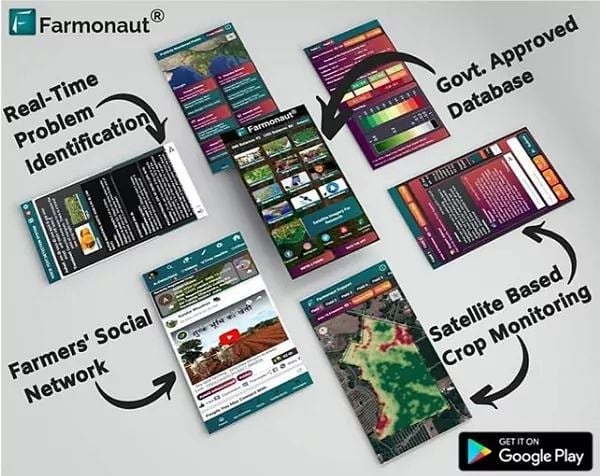
Want to boost real-time monitoring from anywhere? Try Farmonaut’s real-time crop health and field monitoring on Android, iOS, or web today!
7. Seamless Integration with Machinery
Modern drone software is designed for easy integration with existing farm machinery—generating prescription maps and operational guidance that our tractors, sprayers, and spreaders can follow autonomously. This interoperability drives efficiency and consistency, particularly for large-scale farm management (Farmonaut’s admin platform supports multi-farm, multi-operator systems!).
8. Cloud-Based Data Storage and Processing
The latest iterations include cloud integration, allowing us to store, access, and process massive volumes of drone-captured data securely. This cloud technology enables scalable operations and real-time, multi-user collaboration on mapping and analytics projects.
Agriculture Drone Software Feature-Impact Table
Understanding the impact of agriculture drone software features helps us justify investments and prioritize the technologies that benefit our farms most. Below is a feature-impact comparison table illustrating how various drone crop monitoring tools can materially improve yields, reduce chemical application, and save operational time.
| Drone Software Feature | Estimated Yield Improvement (%) | Reduction in Chemical Use (%) | Time Saved per Hectare (hrs) |
|---|---|---|---|
| Aerial Field Mapping (High-Resolution) | 10 – 15% | 15 – 25% | 3.5 |
| NDVI & Crop Health Analysis Software | 13 – 18% | 20 – 35% | 4.2 |
| Pest & Weed Detection with Drones | 8 – 12% | 28 – 40% | 2.5 |
| Variable Rate Application Maps | 12 – 17% | 30 – 45% | 4.5 |
| Real-Time Data & Advisory Integration | 18 – 22% | 35 – 50% | 5.6 |
| Yield Prediction Modeling | 9 – 15% | 10 – 20% | 2.0 |
Popular Agriculture Drone Software Solutions
Let’s review the leading agricultural software platforms investing heavily in AI, machine learning, geospatial analytics, and autonomous systems for drone-assisted field management:
-
PIX4Dfields:
This hybrid software fuses drone and satellite imagery to provide rapid, in-field mapping for crop analysis and precision agriculture. It supports multi-layered mapping, growth stage monitoring, and prescription map creation for agricultural machinery. Compatible with multiple drone models, it excels in multi-crop, multi-field operations.
-
Agremo:
A powerful field analytics platform that leverages AI and computer vision to classify and quantify complex patterns. It assists in crop health analysis, stand counts, weed pressure detection, and multi-seasonal field comparisons. Its VRA capabilities make it indispensable for targeted interventions.
-
AGRISTRY:
AGRISTRY specializes in weed detection with drones, geospatial analytics, and elevation mapping. It creates operational maps for plant health monitoring and integrates seamlessly with agricultural machinery, making it a leader in weed and elevation modeling.
-
DJI SmartFarm Web:
This platform delivers instant, high-definition imagery for crop growth analysis and operational management. It guides automatic operation of various farm machinery, supporting digital information management and analytics-based decision-making for farms of all sizes.
Farmonaut: Precision Agriculture Redefined through Satellite and AI
Among the sector’s game changers, Farmonaut stands out with a unique approach: providing cost-effective, satellite-based farm management solutions accessible via Android, iOS, web, and APIs. Let’s see how Farmonaut reshapes digital farming:
-
Satellite-Based Crop Health Monitoring:
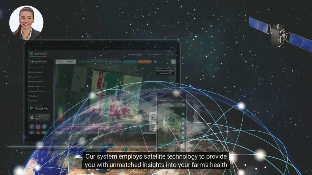
By utilizing multispectral satellite images, Farmonaut tracks crop health, NDVI, soil moisture, and more, enabling us to detect problems early, optimize inputs, and improve yields efficiently—no need for costly hardware. -
AI-Powered Advisory—Jeevn AI:
With Farmonaut’s Jeevn AI advisory, we get personalized, AI-driven recommendations for irrigation, fertilization, and integrated pest management based on satellite data and weather forecasts. This is real-time digital assistance for precision agriculture. -
Product Traceability with Blockchain:
Integrity is vital in modern supply chains. Farmonaut offers blockchain-based product traceability—ensuring transparency and authenticity from farm to consumer, helping us meet regulatory standards and consumer expectations. -
Fleet & Resource Management:
For commercial growers and agribusinesses, Farmonaut’s fleet management tools help us manage vehicles, monitor fuel usage, and ensure timely operations—critical for efficiency and profitability. -
Carbon Footprinting:
Addressing sustainability, Farmonaut measures and tracks the farm’s carbon emissions with carbon footprinting tools. This supports compliance with environmental regulations and informs eco-friendly farm management strategies. -
Crop Loan and Insurance Verification:
Secure your farm’s finances with satellite-based verification for crop loans and insurance—protecting against risk and accelerating loan disbursement. -
Large-Scale Multi-Farm Management:
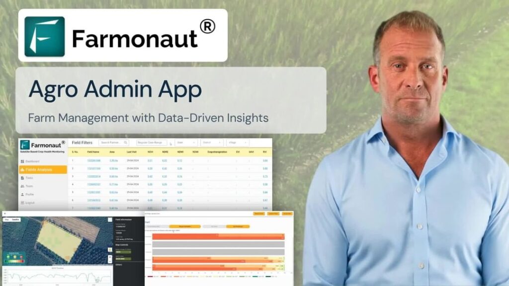
Scale up with ease using Farmonaut’s admin platform for large-scale farm/oil palm/plantation management. Track multiple operators, farms, and regions with consolidated satellite and AI-based insights.
Explore more about the Farmonaut platform on web, Android, or iOS!
Benefits of Implementing Agriculture Drone Software
Why is agriculture drone software a must-have for farms modernizing today? Here are the game-changing benefits we realize:
- Enhanced Efficiency: Automate laborious tasks like field scouting, mapping, and monitoring. This drastically lowers labor costs and operational delays—allowing us to focus on data-driven, strategic decisions.
- Improved Precision: Use only the necessary amount of inputs—fertilizers, pesticides, water—and distribute them exactly where needed, reducing waste and environmental harm.
- Data-Driven Decision Making: Interactive maps, reports, and predictive analytics (drone data analytics for farming) empower us to adapt to changing conditions and quickly identify yield-limiting factors.
- Sustainability: By minimizing chemical use, integrating carbon footprinting, and reducing soil compaction (fewer passes over the field), our practices become more environmentally responsible.
- Resource Optimization: Save time, fuel, and money by streamlining machinery operations and targeted applications of inputs—key for both smallholder and enterprise-scale farms.
Embrace sustainability on your farm! Learn how Farmonaut’s carbon footprinting keeps your operations green and compliant.
Aerial Perspective: Images & Videos
Challenges and Considerations in Drone Crop Management
Despite the promising benefits, we must be mindful of the practical challenges when integrating agriculture drone software into farm management:
- Data Management: The sheer volume of aerial imagery and sensor data demands robust cloud storage and fast processing systems. Choosing platforms with scalable infrastructure and reliable security is vital.
- Integration with Existing Systems: Compatibility between drone solutions and existing farm management systems is essential for seamless operations. API integration (like Farmonaut Satellite & Weather API) enables us and developers to connect diverse tools—from irrigation controls to machinery automation and more. Review Farmonaut’s API developer docs for integration support.
- Regulatory Compliance: Local and national regulations govern drone flight planning, privacy, and data security. We must stay updated on operational permissions, data handling, and airspace restrictions to ensure lawful and safe farming.
- Initial Investment: While long-term benefits often outweigh the cost, acquiring quality drones and software can be capital-intensive. Subscription-based satellite and AI platforms like Farmonaut help reduce entry barriers for farms of all scales.
- Field and Weather Conditions: Drones are susceptible to weather. Wind, rain, or dust can affect aerial mapping quality and flight safety. Understanding optimal flying conditions and field readiness is crucial.
“Agriculture drone software can analyze up to 100 hectares of farmland in a single 30-minute flight.”
Future Trends in Agriculture Drone Software
As digital and sustainable farming continues to evolve, what trends can we expect in the next generation of agriculture drone software?
- Integration with IoT Devices: Combining drone-derived insights with IoT soil moisture sensors, weather stations, and in-field cameras for a 360-degree view of conditions.
- Advancements in AI and Machine Learning: Tomorrow’s platforms will wield even more accurate predictive models—detecting diseases earlier, automating decision-making, and customizing advisory systems for every grower.
- Scalable Cloud Solutions: Multi-user, secure, and globally accessible platforms will power data-driven collaborations across vast agricultural networks.
- Regulatory Developments: As drone adoption grows, regulations will mature—promoting safer, privacy-compliant, and environmentally responsible usage for all stakeholders.
- Blockchain for Traceability: The food system is demanding transparency. Blockchain ensures traceability in supply chains, which is already feasible via platforms like Farmonaut.
- Sustainability Metrics: Expect features that measure carbon emissions, water use, biodiversity impact, and offer eco-certified reporting for sustainable farming practices.
Frequently Asked Questions (FAQ) on Agriculture Drone Software
Q1. What is agriculture drone software and how does it work?
Agriculture drone software automates the process of capturing, processing, and analyzing aerial imagery of agricultural fields. Using AI and geospatial technology, it converts drone-captured images into digital maps, crop health insights, and actionable reports for farm optimization.
Q2. Can drone software help small and medium-sized farms?
Absolutely! Platforms like Farmonaut democratize access to advanced data analytics, crop monitoring, and advisory tools by leveraging satellite images—no need for expensive hardware, making precision agriculture affordable for every farmer.
Q3. How do I start aerial mapping and monitoring my fields?
Begin by selecting a suitable drone platform and analytics solution that matches your farm size and requirements. Install the app (such as Farmonaut on Android / iOS), map your field, and allow the system to process imagery or satellite data for actionable recommendations.
Q4. What types of actionable insights can agriculture drone software provide?
Insights may include NDVI-based crop health status, weed/pest risk zones, stress detection, variable rate application maps, and long-term yield forecasting—supporting all key farm management decisions.
Q5. Is drone data secure and compliant with privacy regulations?
Leading platforms, including Farmonaut, employ rigorous data encryption, privacy policies, and regulatory best practices. Always review your region’s drone data and privacy guidelines for compliance.
Q6. Can I integrate drone data with other smart farm systems?
Yes! Open API access (see Farmonaut API and developer docs) lets you combine drone analytics with irrigation controls, tractors, farm management platforms, and more.
Conclusion: Embracing the Future of Precision Agriculture
Agriculture drone software is no longer just a futuristic concept. It is a fundamental pillar of modern, sustainable, and efficient farm management. From aerial field mapping and variable rate applications to AI-driven crop health analytics and blockchain traceability, these solutions help us boost yields instantly, optimize resources, and secure a greener future. Providers like Farmonaut make high-tech, data-driven farming accessible to everyone, ensuring that precision agriculture is within reach for all, regardless of scale.
Ready to transform your farm? Explore Farmonaut’s platform today and join the global revolution in smart, sustainable agriculture.
Farmonaut Subscription Plans: Affordable Precision Agriculture
Gain real-time access to all features—AI-based advisory, digital satellite mapping, crop health monitoring, and much more—on your desktop or smartphone. Choose a subscription plan tailored for everyone: from individual farmers to large agribusinesses and government organizations.


