Drone Mapping for Agriculture: 7 Surprising Yield Hacks
“Multispectral drone sensors can capture up to 10 different light bands, revealing hidden crop stress invisible to the human eye.”
Introduction: The Evolution of Drone Mapping in Agriculture
Over recent years, drone mapping in agriculture has radically transformed how we manage, monitor, and optimize crop production. Today, farmers utilize UAVs (unmanned aerial vehicles), equipped with advanced sensors and imaging technology, to capture precise aerial imagery and data—enabling previously impossible insights into crop health, resource efficiency, and overall productivity.
At its core, drone mapping leverages the power of technology and data-driven decision-making to help us detect crop stresses, monitor field variability, estimate yield with accuracy, and massively reduce waste. This shift toward precision agriculture is accelerating production, optimizing irrigation and input usage, and improving sustainability across the global agricultural sector.
In this blog, we’ll uncover seven surprising yield hacks based on real-world applications of agricultural drone technology, describe the technology that powers these systems, and show how pioneers like Farmonaut are working to democratize these innovations for farmers everywhere.
7 Surprising Yield Hacks with Drone Mapping in Agriculture
Our drive for higher efficiency, smarter resource allocation, and more sustainable agricultural practices is fueling the adoption of drone mapping at scale. Let’s delve into the seven yield-boosting strategies that are reshaping modern farming:
-
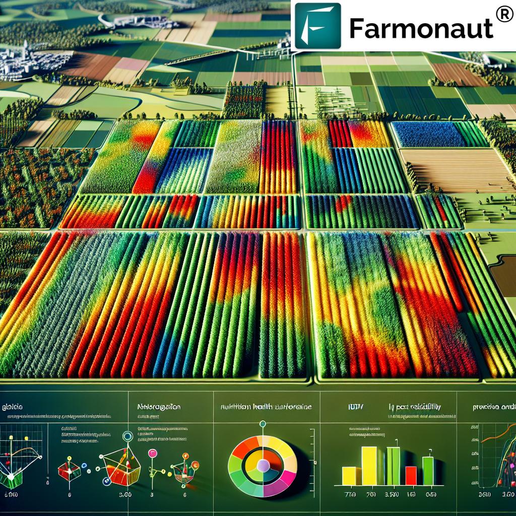
Aerial Crop Health Monitoring and Early Detection
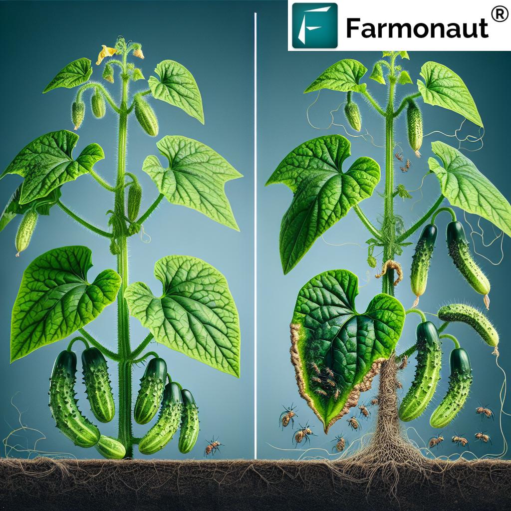
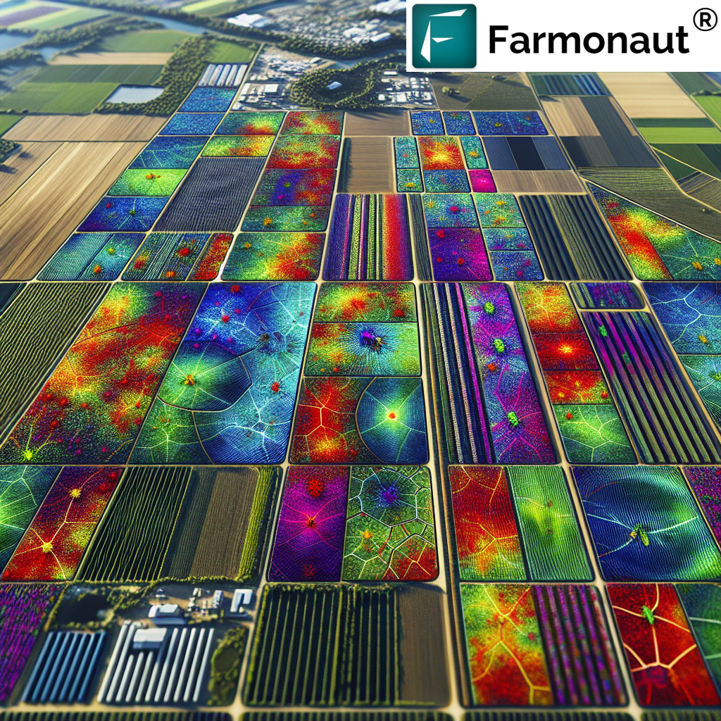
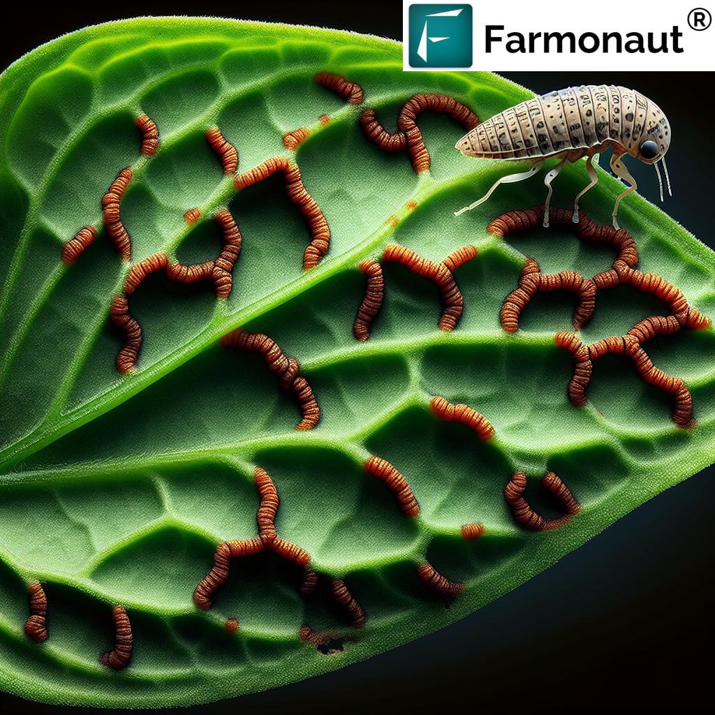
Using precision agriculture drones with advanced multispectral sensors, we can gather images in multiple bands—well beyond what’s visible to the human eye. This allows us to monitor subtle variations in vegetation indices such as NDVI (Normalized Difference Vegetation Index).
This kind of crop health monitoring with drones enables detection of nutrient deficiencies, pest infestations, and diseases even before visible symptoms appear. Armed with these insights, our interventions are timely, precise, and can drastically minimize both yield loss and input costs.
- Detect water stress, pests, and fungal outbreaks before they spread
- Fine-tune fertilizer and pesticide applications to specific field zones
- Leverage Farmonaut’s real-time satellite crop monitoring for ongoing, affordable insights
Experience farm health insights with the Farmonaut mobile and web app
-
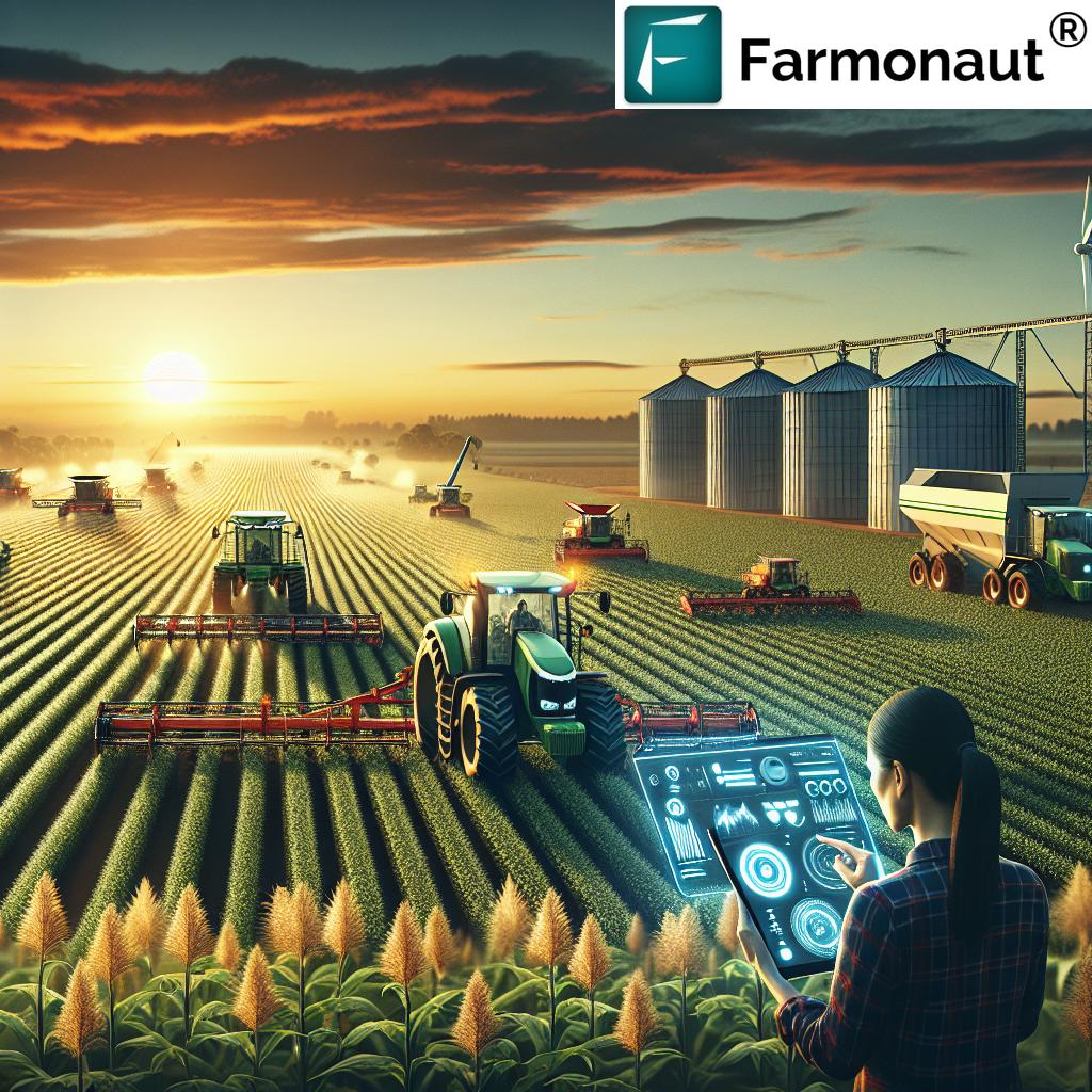
Accurate Drone Yield Estimation for Smart Harvest Planning
Optimized yield prediction helps us plan harvests, allocate labor, and schedule logistics more efficiently. Through drone yield estimation, we obtain plant counts, canopy cover data, and development stage information; key for maximizing efficiency and minimizing losses.
- Estimate crop volume and quality from above, reducing labor-intensive field scouting
- Coordinate harvesting so machinery and labor are used optimally
- Reduce post-harvest waste by precision planning
Unlock scalable yield tracking with Farmonaut’s Large Scale Farm Management
-
Drone Irrigation Management: Boost Water Efficiency
Water is often our most precious and limited resource. Drone irrigation management offers a fast way to assess soil moisture patterns and crop water needs at the field level.
- Reduce water waste with zone-specific irrigation control
- Improve crop health by ensuring all plants receive optimal moisture
- Utilize thermal and multispectral images for actionable moisture mapping
-
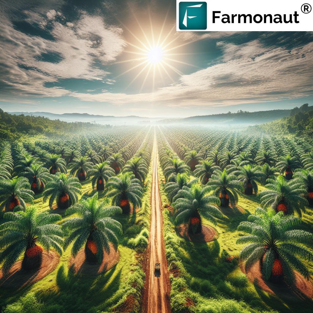
Drone Field Mapping for Infrastructure and Planning
We generate precise, large-scale maps of our fields using drone field mapping—crucial for defining boundaries, planning infrastructure, and optimizing planting layouts.
- Create accurate boundaries to prevent disputes and optimize land usage
- Monitor and measure changes in field topography or erosion over time
- Plan site-specific infrastructure (like drainage, roads) for efficient access and maintenance
-
Disaster Detection and Real-Time Management with Aerial Drones
Rapid disaster detection is possible with aerial crop monitoring. Drones assess weather impacts, flooding, drought, or wind-storm damage—helping us action contingency plans immediately.
- Survey large parcels quickly for disaster assessment
- Send up drones post-storm for immediate damage analysis and insurance verification
- Coordinate rapid response for crop salvage
Simplify satellite-based crop insurance and disaster recovery with Farmonaut
-
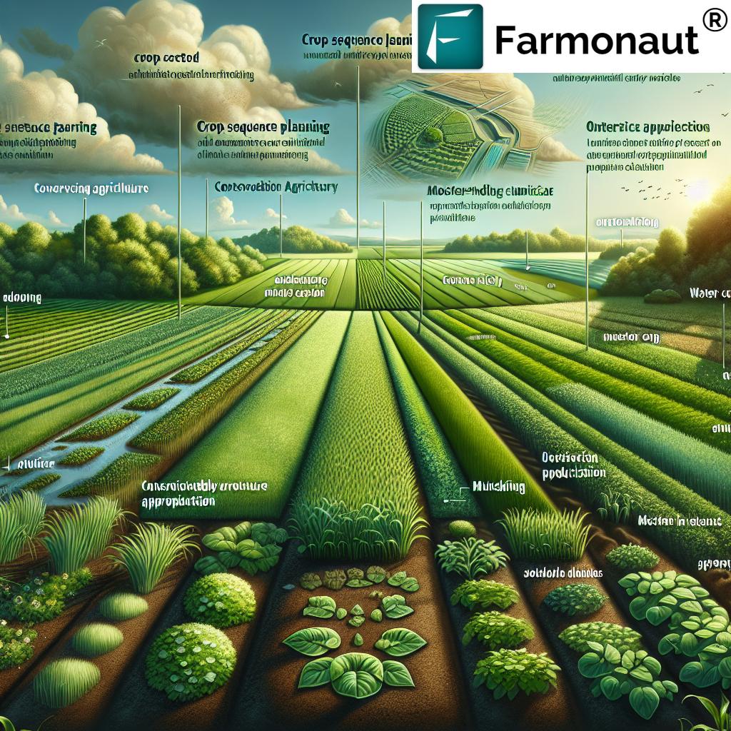
Smart Resource Allocation and Farm Resource Optimization
Combining high-resolution drone imagery with analytical platforms, we can allocate resources—including fertilizer, seed, and labor—more efficiently. This optimization reduces costs, waste, and environmental impact.
- Target underperforming zones for replanting or extra care
- Actualize real savings on fertilizer and pesticide inputs
- Enhance overall farm sustainability and compliance with environmental standards
Ensure your sustainable efforts are verifiable with Farmonaut’s Blockchain Traceability
-
Timely Intervention, Eco-Friendly Farming Practices & Compliance
Timely intervention is pivotal in minimizing yield loss from pests, diseases, or nutrient deficiencies. Data-driven applications also foster environmental sustainability—precision use of inputs lowers waste and chemical run-off.
- Minimize environmental risks by targeted input application
- Detect and intervene where NDVI falls—before visible crop damage occurs
- Support regulatory and quality compliance for food supply chains
Explore Farmonaut’s Crop, Plantation & Forest Advisory Solutions
“Precision drone mapping can survey 100 acres in under 30 minutes, revolutionizing large-scale farm data collection.”
Major Applications of Drone Mapping in Modern Agriculture
How Are Agricultural Drones Used for Productivity and Efficiency?
The applications of drone mapping in agriculture cover nearly every stage of the crop lifecycle, from planting to harvesting. Here’s how these innovative practices deliver real-world benefits:
-
Crop Monitoring and Health Assessment:
Using multispectral and thermal sensors, drones capture crop health images in visible and invisible spectrum bands. This enables early detection of pest infestations, diseases, and nutrient deficiencies, empowering farmers for swift intervention. -
Yield Estimation:
Accurate yield predictions support efficient harvest and resource planning. Drones provide crop counts, size measurements, and maturity estimates for informed decision-making. -
Irrigation Management:
Drone-collected moisture data and crop health indices help optimize irrigation, leading to water savings and healthier crops, especially in water-scarce areas. -
Field Mapping and Land Planning:
Aerial mapping defines boundaries, tracks land use changes, and guides infrastructure placement. This ensures optimal planting patterns and resource management. -
Disaster Detection and Response:
Drones monitor weather conditions and rapid changes in the field, supporting quick disaster assessment and response during events like floods or droughts.
Pro Tip: Combine satellite-based monitoring (like Farmonaut offers) with local drone flights for a holistic, continuous farm overview.
Comparison Table: Drone Mapping Techniques and Their Impact on Crop Yield
| Mapping Technique | Technology Used | Estimated Yield Improvement (%) | Resource Savings (%) | Crop Health Insights | Best Suited Crops |
|---|---|---|---|---|---|
| Aerial RGB Imaging | Standard RGB Cameras | 5 – 10% | 8 – 12% | Visual plant stress, bare soil, weed detection | All row crops (wheat, corn, rice) |
| Multispectral Drone Mapping | NDVI, Red-Edge, NIR Sensors | 12 – 20% | 17 – 27% | Nutrient deficiencies, water stress, early disease | Vegetables, pulses, rice, cotton |
| Thermal Drone Scanning | Thermal Infrared Sensors | 7 – 15% | 12 – 18% | Water loss, irrigation issues, canopy temperature | Orchards, grapes, greenhouses |
| LiDAR-Based 3D Mapping | LiDAR, 3D Model Sensors | 6 – 11% | 10 – 15% | Topography, canopy volume, terrain analysis | Sugarcane, forestry, tall crops |
Tip: For affordable, ongoing plant health tracking, explore Farmonaut’s satellite-based crop monitoring—seamlessly scalable for growers worldwide.
Key Benefits of Agricultural Drone Technology
-
Increased Productivity:
Precision insights from drone mapping optimize planting, fertilization, and harvest, resulting in higher yields and profitability. -
Resource Efficiency:
Drones support targeted water, fertilizer, and pesticide application—cutting both costs and waste while improving sustainability. -
Timely Intervention:
Early detection via aerial sensors enables rapid action against pests, diseases, and nutrient deficiencies. -
Environmental Sustainability:
Minimized agrochemical input and precision operations lower environmental impact, supporting eco-friendly farming and regulatory compliance. -
Improved Supply Chain Transparency:
Pair with traceability platforms (like Farmonaut’s blockchain-powered solution) for secure supply chain verification.
Challenges and Considerations in Drone Adoption
While the benefits of deploying precision agriculture drones are clear, there are several challenges and limitations we should consider before scaling up these solutions:
-
High Initial Investment:
Drones, sensors, and analytics software require significant up-front capital, which can be a barrier for smallholder farmers. -
Regulatory Compliance:
Different regions enforce strict rules for UAV operations, including licensing, height limits, and data security standards. -
Technical Expertise Needed:
Effective use of drone data demands training in UAV piloting, maintenance, and advanced digital analysis. -
Data Management Overload:
Drones can generate massive amounts of complex data. Proper infrastructure and skilled staff are key to extracting actionable insights. -
Weather Dependency:
Adverse weather conditions (rain, strong winds, excessive heat) can ground drone flights and impact data accuracy.
Hint: Farmonaut’s satellite-based monitoring sidesteps many operational roadblocks, offering regular, scalable data regardless of local drone regulations or weather constraints.
Technological Advancements Fueling Drone Mapping in Agriculture
Latest Innovations Driving Yield and Farm Efficiency
-
Multispectral and Thermal Sensing:
Drones equipped with multispectral sensors and thermal cameras help us view plant health in detail, supporting early interventions and targeted resource use. -
LiDAR-Based Mapping and 3D Modelling:
LiDAR delivers intricate 3D field maps, enabling advanced planning and infrastructure development. -
Artificial Intelligence (AI) and Machine Learning:
Platforms like Farmonaut integrate AI to offer actionable advice, automated health monitoring, and farm-specific recommendations. -
Blockchain Integration:
Ensure transparency across the food supply chain with secure, blockchain-backed traceability—from seed to shelf.
Read more: Farmonaut’s Blockchain Traceability secures your product journey and consumer trust.
Farmonaut: Making Precision Agriculture Accessible to Every Farmer
Affordable, Scalable Farm Management for All
-
Satellite-Based Crop Health Monitoring:
Farmonaut harnesses the power of multispectral satellite images to deliver actionable, accurate crop health insights—supporting informed decisions about fertilization, irrigation, and pest management. -
Jeevn AI Advisory:
Farmonaut’s AI-driven component provides real-time farm management advice, expert cropping strategies, and local weather forecasts. -
Blockchain Traceability:
Enhance market trust and supply chain security with Farmonaut’s traceability services, verifying every step of your crop’s journey. -
Fleet and Resource Management:
Optimize agricultural logistics, reduce vehicle costs, and manage resources easily—unlocking new levels of efficiency. -
Carbon Footprinting:
Farmonaut offers ongoing, automated carbon tracking to support both environmental and regulatory compliance.
Boost your ecological responsibility: Discover Farmonaut’s Carbon Footprinting Module
Scale smart farm operations: Learn about Farmonaut’s Large Scale Farm Management platform
Save on logistics: Explore Farmonaut’s Fleet and Resource Management
Universal Accessibility
Farmonaut’s subscription-based service is designed for individual smallholder farmers, large agribusinesses, government bodies, NGOs, and even financial organizations seeking satellite-based crop verification for insurance and loans.
Start satellite-based management on web, iOS, or Android—from anywhere, at any scale.
Frequently Asked Questions (FAQ) on Drone Mapping in Agriculture
-
Q: What is drone mapping, and how is it used in agriculture?
A: Drone mapping in agriculture involves deploying unmanned aerial vehicles (UAVs) with sensors over fields. These drones capture detailed imagery and generate maps for crop health monitoring, yield estimation, resource management, and more.
-
Q: Which crops benefit most from multispectral drone mapping?
A: All field crops—like wheat, rice, legumes, cotton, and vegetables—benefit. Precision mapping is extra valuable for high-value and water-sensitive crops due to early detection and informed resource allocation.
-
Q: How does drone mapping improve irrigation efficiency?
A: Drones identify dry spots, leaks, or waterlogged zones by analyzing crop growth and soil moisture from above, enabling targeted irrigation and minimizing water waste.
-
Q: Is drone mapping expensive for small farms?
A: While advanced drones have an initial investment, affordable options and services exist. Satellite-based monitoring via platforms like Farmonaut allows even smallholders to benefit from precision insights at lower cost.
-
Q: Can drone mapping replace all human scouting?
A: No. Drone data is best when combined with on-ground checks and satellite monitoring. It accelerates data collection, but local agronomic expertise remains essential.
-
Q: What are the regulatory challenges with drones in farming?
A: Many countries have regulations on UAV flight heights, pilot licensing, and privacy. Farm owners must ensure compliance with local laws before deploying drones.
-
Q: How can drone data be integrated with Farmonaut?
A: Farmonaut enables seamless integration of on-farm data—including local drone outputs—into its web, iOS, or Android app for a comprehensive digital farm record.
Conclusion: The Future of Drone Mapping in Agriculture
The adoption of drone mapping in agriculture isn’t simply an incremental upgrade—it’s a paradigm shift. From our ability to monitor crop health in real time, predict yields, manage resources, and intervene faster than ever, the impact is profound.
As drone technology becomes more accessible, and platforms like Farmonaut drive down the barriers for entry, we have more tools than ever to ensure profitability, sustainability, and resilience in the face of changing weather and economic pressures.
Embrace this next generation of farming. Let’s work together to optimize every field, protect our planet, and maximize yields for years to come.