Farm Satellite Imagery: 7 Powerful Ways to Boost Crop Yields
Meta Description: Satellite imagery in agriculture empowers farmers with real-time data to optimize crop yields, improve farm management, and enable sustainable practices.
“Over 70% of precision agriculture solutions now utilize satellite imagery for real-time crop health monitoring and yield optimization.”
Introduction
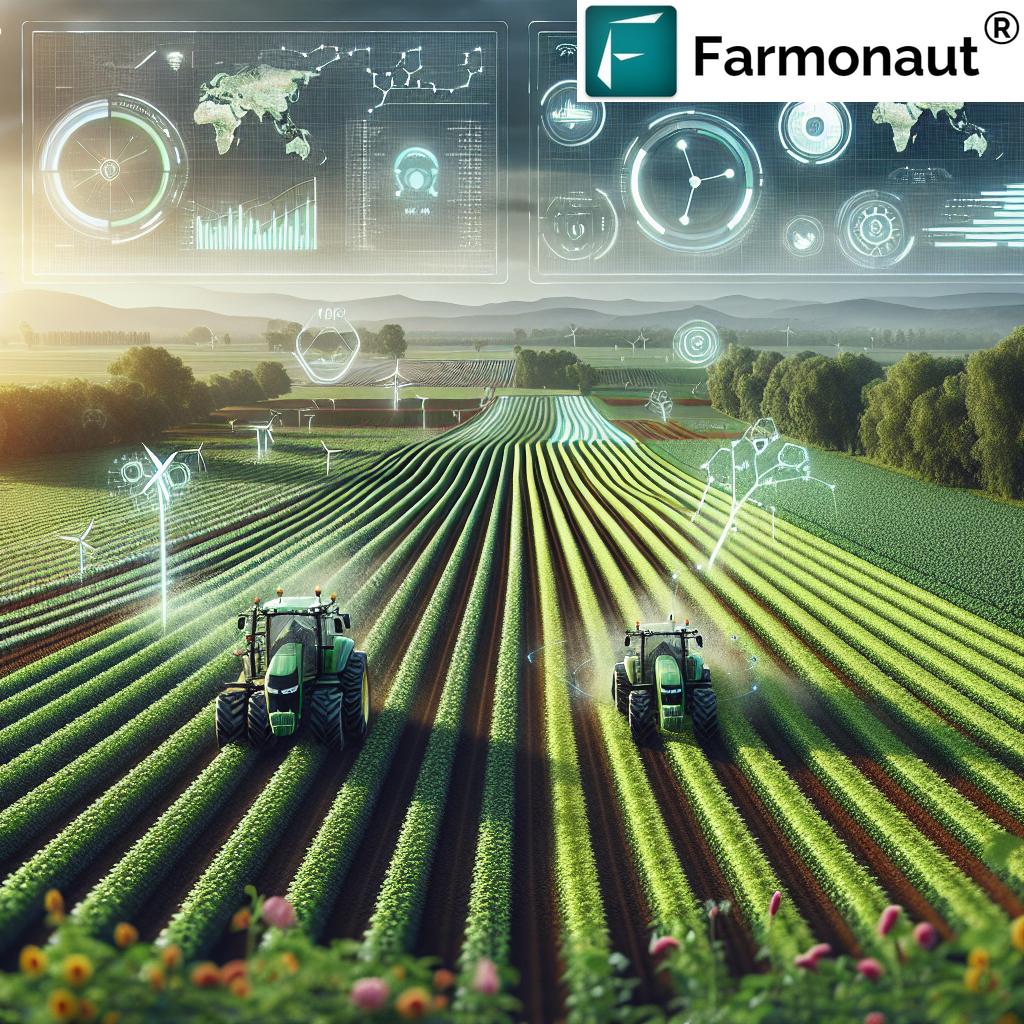
Satellite imagery in agriculture is transforming how farming is conducted worldwide. Gone are the days when farmers could only rely on on-the-ground visual inspections and manual records. Thanks to advanced satellites, farmers now receive accurate, timely, and actionable data about crops, fields, and resources—directly enhancing decision-making processes. This transition to data-driven, precision agriculture technology is not only increasing yields, but is also driving sustainability and efficiency across the industry.
In this guide, we explore the seven most powerful ways satellite imagery is boosting crop yields, fostering smarter interventions, minimizing waste, and paving the way for the next era of efficient, sustainable farming. We utilize research-driven insights and focus on best-in-class solutions to empower agricultural professionals, farm managers, and growers with the knowledge to integrate these applications into everyday farm management.
Understanding Satellite Imagery in Agriculture
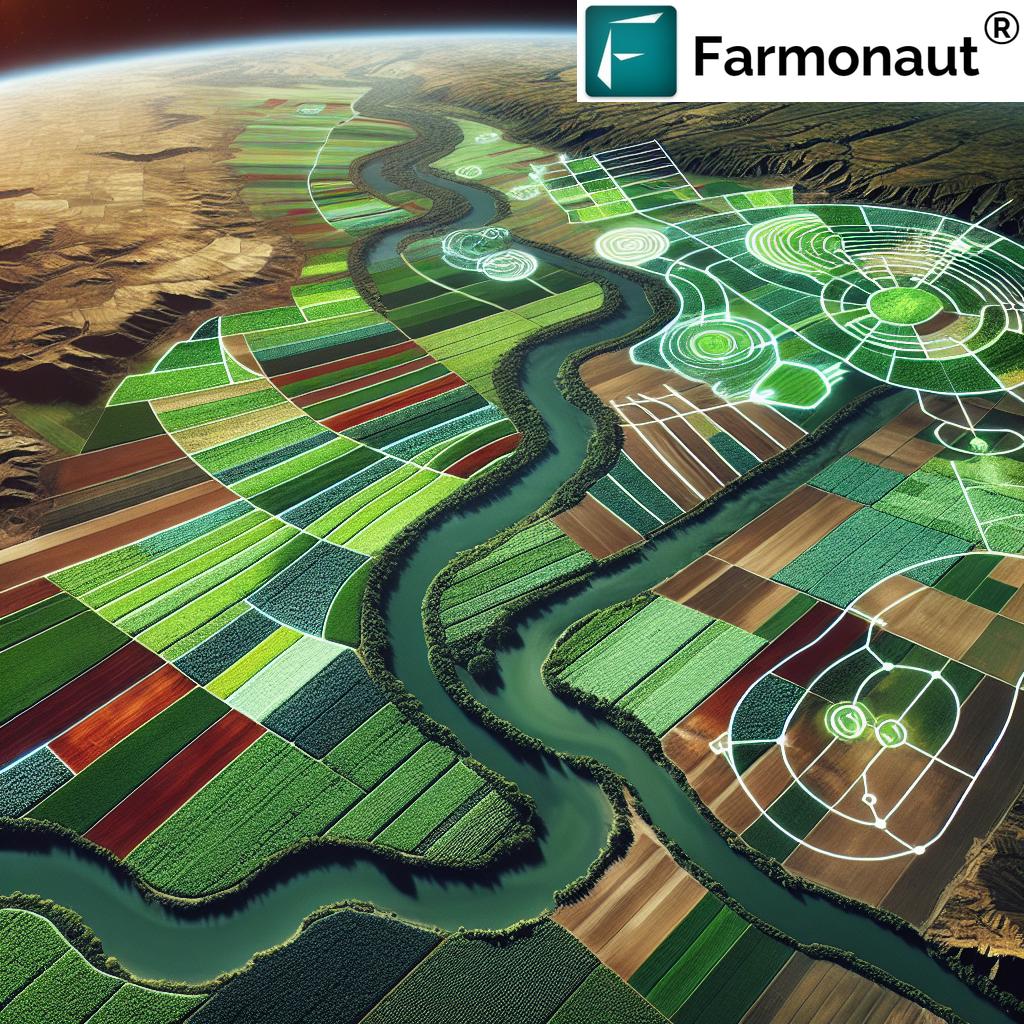
What exactly is satellite imagery in agriculture? At its core, this is the use of remotely sensed data, collected via satellites orbiting the Earth, to gather in-depth information about farm fields, soil, crop health, water usage, disease outbreaks, and environmental conditions. This “bird’s-eye view” offers incredible advantages:
- Wide Coverage: Monitor large and multiple fields consistently.
- Timely Data: Receive up-to-date assessments of conditions—sometimes daily.
- Objective Insights: Eliminate guesswork with unbiased, quantitative data.
- Cost-Effectiveness: Reduce the need for expensive manual scouting and labor.
- Precision Management: Enable actions tailored to specific areas within a field.
Remote sensing in agriculture leverages multispectral and hyperspectral imaging, detecting subtle changes in vegetation, soil, moisture, and pest/disease symptoms—even before they’re visible to the naked eye.
The impact? Improved crop health monitoring, enhanced prediction and planning, optimized inputs, and ultimately, greater yields with less wasted resources.
Why Satellite Imagery Matters for Farmers
Farmers today face mounting pressures—rising input costs, labor shortages, unpredictable climate patterns, and the need to minimize environmental impacts. Now, more than ever, actionable data is key.
Satellite imagery answers these needs by offering:
- Early detection of crop stress (up to 10 days before visible symptoms)
- Assessment of field variability for site-specific interventions
- Optimizing water and fertilizer use for cost savings and sustainability
- Enabling data-driven planning (rotation, planting schedules, yield forecasting)
- Supporting compliance, certification, and traceability
Whether a farmer is stewarding a single field in the River Valley, managing large-scale orchards, or improving productivity in sprawling farmlands, satellite data means smarter, faster, more efficient decisions.
Farm Satellite Imagery: 7 Powerful Applications for Yield Boosting
“Satellite data can detect crop stress up to 10 days before visible symptoms, enabling earlier intervention and improved yields.”
1. Crop Health Monitoring with Satellite Imagery
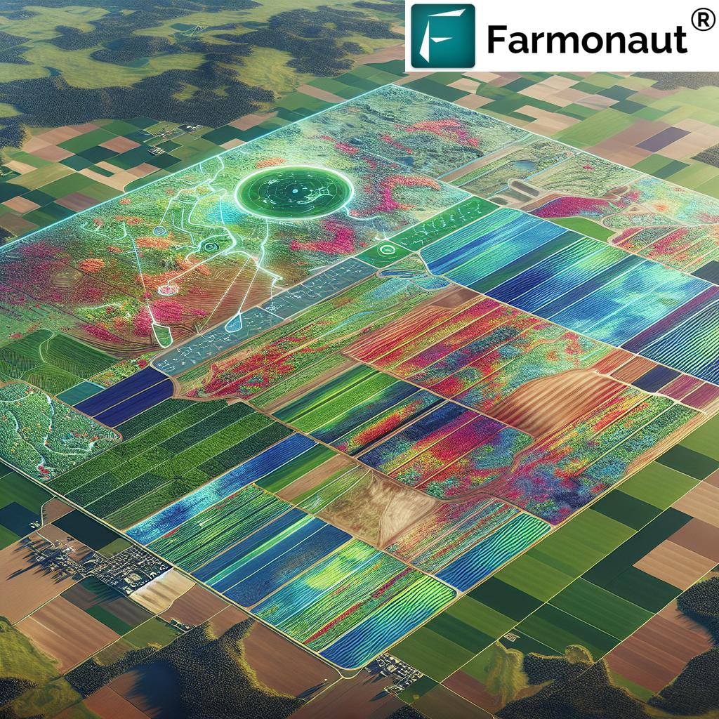
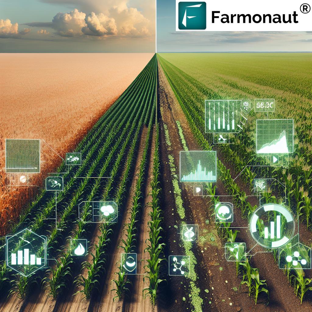
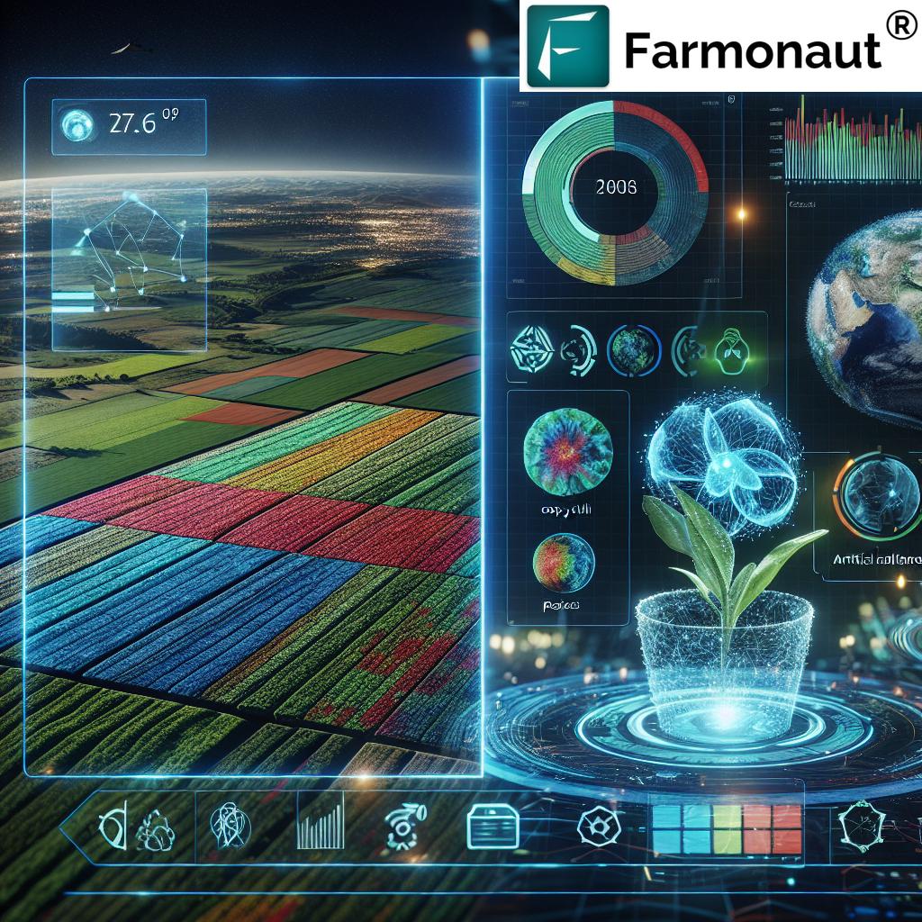
Early and regular crop health monitoring is the foundation of modern, precision agriculture. Satellite imagery enables assessment of crop health with unprecedented accuracy and speed. Using spectral indices—especially the Normalized Difference Vegetation Index (NDVI)—farmers can monitor plant vigor, photosynthetic activity, and biomass accumulation.
- What is NDVI? NDVI (Normalized Difference Vegetation Index) measures the difference between near-infrared (which vegetation strongly reflects) and red light (which vegetation absorbs). Healthy crops reflect more near-infrared and less visible red light, so NDVI values are higher when crops are healthy and lower when they’re under stress or sparse.
This powerful, remote-sensing approach allows farmers to:
- Identify areas of stress due to nutrient deficiencies, water scarcity, or early pest/disease onset
- Pinpoint affected zones for targeted interventions, reducing waste and unnecessary input application
- Track growth patterns and development throughout the growing season
Correct, timely information from NDVI crop monitoring tools helps optimize resources, enabling site-specific management strategies and driving higher, more consistent yields.
Learn more about integrated, advanced crop health monitoring in Farmonaut’s Satellite Crop Advisory App.
2. Soil Mapping and Analysis for Precision Input
Optimal crop performance starts with comprehensive knowledge of soil conditions. By combining satellite imagery with ground-truthing data, farmers can generate precise soil maps detailing texture, organic matter, moisture levels, and nutrient availability across fields.
- Detailed spatial maps show natural variability in soil structure and health across zones.
- Precision agriculture technology allows farmers to fine-tune fertilizer, pesticide, and amendment applications to specific field areas—minimizing waste and environmental impact.
- High-resolution soil moisture analysis and nutrient mapping support the creation of effective, efficient management plans.
Soil analysis via remote sensing in agriculture means each hectare or zone gets what it needs—no more, no less—leading to reduced chemical input, minimized resource use, and sustainable yield improvement.
For businesses seeking transparency, Farmonaut’s blockchain-based traceability tools (see Farmonaut Traceability Solutions) ensure every step of crop production is securely recorded.
3. Crop Planning and Adaptive Management
Satellite imagery provides essential historical and current data for analyzing cropping patterns, land suitability, and productivity trends year over year.
- Land use analysis: Optimize planting strategies and select suitable crop types based on long-term spatial data.
- Monitor ongoing crop growth and adjust management interventions—irrigation, fertilization, pest/disease control—in real time.
- Improve planning for crop rotation, sowing schedules, and harvest timing.
With better crop planning, farmers ensure the right crop is planted in the right place at the right time, maximizing resources and minimizing risk of yield loss. Adaptive management, informed by ongoing satellite data analysis, enables growers to rapidly fine-tune tactics and strategies based on actual conditions—not just forecasts.
Farm managers, especially those working at large scale, leverage Farmonaut Large Scale Farm Management tools to coordinate these efforts at enterprise level with ease and accuracy.
4. Water Use Optimization in Farming
Amid growing concerns over water scarcity, water use optimization in farming is a top priority for both profitability and sustainability. Satellite-derived data empowers farmers with:
- Accurate measurements of evapotranspiration rates—the water lost via evaporation from soil and transpiration from crops
- Differentiated soil moisture levels across a field for precision irrigation planning
- Early identification of crop water stress to trigger timely interventions
- Integration with weather models to forecast irrigation needs
This enables precise, data-based irrigation management—delivering:
- Lower water bills and input costs
- Healthier crop growth and stabilized yields
- Minimized waste and reduction in run-off or leaching
For those seeking to improve sustainability metrics and compliance, Farmonaut’s carbon footprint tracking (learn more) allows users to monitor water and emissions data for environmental stewardship.
5. Pest and Disease Detection with Satellite Data
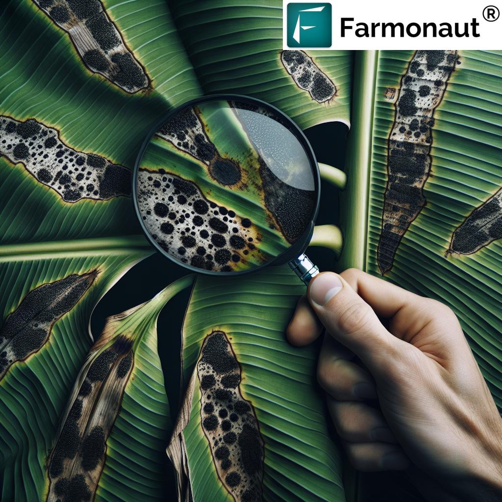
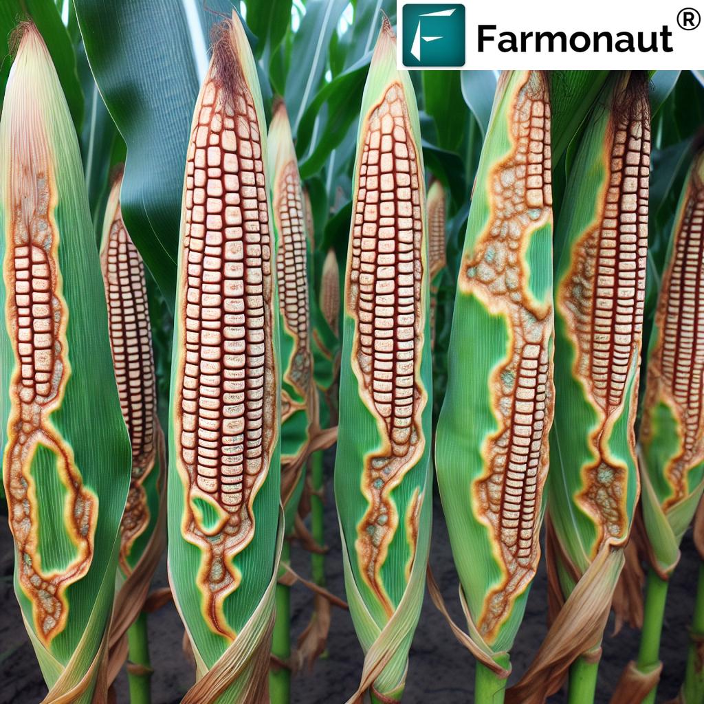
Protecting fields from pests and diseases is crucial for yield security. Powerful pest and disease detection with satellite data leverages multispectral and hyperspectral imaging to spot subtle, invisible-to-the-eye symptoms of outbreaks—across wide landscapes.
- Spectral sensors detect changes in plant pigment (e.g., chlorophyll loss, yellowing) and altered leaf structures as early signs of stress.
- These indicators frequently surface 10 days or more before a farmer could spot them visually.
- Together, this system creates an early warning, delivering timely, targeted alerts for action.
Benefits include targeted pesticide application (reducing overuse), prompt removal or quarantine of infected zones, and overall lower crop loss risk. Early detection also supports organic and sustainable producers by minimizing need for chemical interventions.
Farmonaut’s platform leverages AI and satellite data to continuously deliver timely, high-accuracy detection—helping to protect yields and enhance sustainability.
6. Yield Forecasting and Analysis
Yield prediction is a game-changer for the agricultural supply chain—enabling advance logistics, better pricing, effective storage planning, and food security efforts.
Satellite crop monitoring measures plants’ growth rates, biomass accumulation, and analyzes interactions with environmental factors such as rainfall, heat, and solar exposure. This rich dataset powers yield forecasting tools, often enhanced by AI and machine learning models, to provide reliable predictions—often weeks or months before harvest.
- Stakeholders receive early insights into potential shortages or surpluses, enabling adaptive strategies.
- Farmers and agribusinesses achieve optimized harvest planning and sales strategies.
This is particularly valuable for government agencies, cooperatives, and buyers, all of whom rely on accurate, timely predictions for market and supply stability.
To connect these insights directly into your workflows, check out the Farmonaut API and accompanying developer docs for satellite and weather data.
7. Efficient Input, Fleet, and Resource Management
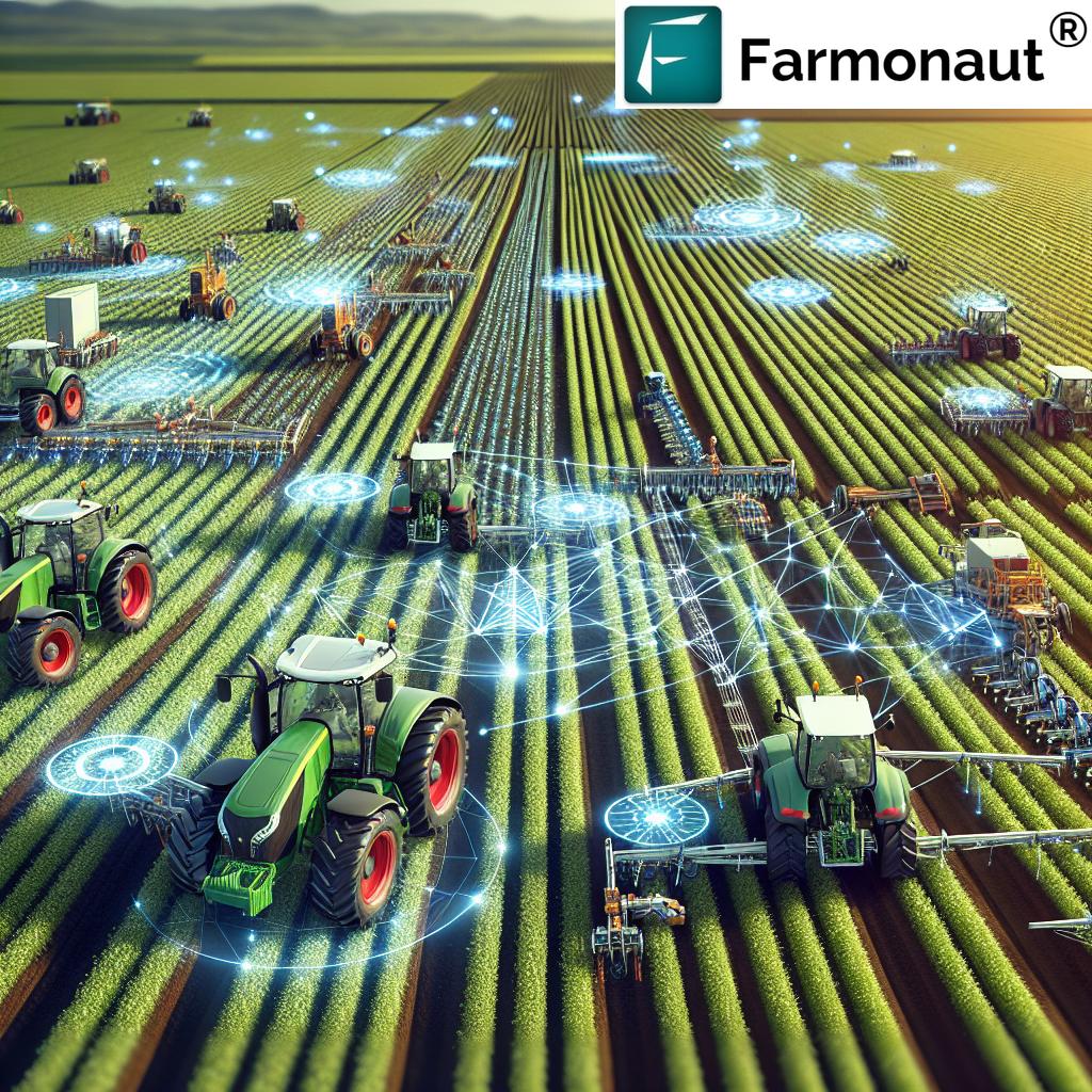
Managing inputs (seed, fertilizer, pesticides), vehicles, and workforce across large or complex landscapes is simplified by satellite-driven insight.
- Identify zones needing attention, reducing over-application and input waste
- Monitor fleet activities for optimal logistics and safety
- Integrate maps with workflow apps for efficient input delivery, record-keeping, and reporting
Data-driven resource management leads to:
- on fleet operation and input purchases
- Lower environmental impact (e.g., less fertilization run-off)
- Streamlined risk and compliance documentation
We provide comprehensive fleet and resource management tools—see our Fleet Management Solutions—for users managing farm machinery, logistics, or contracted services.
Comparative Benefits Table: Satellite Imagery Applications in Agriculture
| Application | Description | Estimated Yield Improvement (%) | Technology Used | Sustainable Impact |
|---|---|---|---|---|
| Crop Health Monitoring | Assesses crop health using NDVI & spectral imaging for stress detection | 5–20% | NDVI, multispectral analysis | Reduced input waste, prompt interventions |
| Soil Mapping & Analysis | Spatial mapping of soil properties for precision input application | 5–18% | Multispectral imaging, soil moisture sensors | Lower chemical/fertilizer usage |
| Crop Planning & Management | Informs scheduling and crop selection using historical imagery | 8–17% | Historical satellite data, AI models | Reduced environmental impact, labor |
| Water Use Optimization | Optimize irrigation based on moisture & evapotranspiration data | 10–25% | Soil moisture analysis, weather integration | Conserved water, lower energy use |
| Pest & Disease Detection | Early issue identification via spectral/hyperspectral imagery | 7–23% | Hyperspectral/AI, remote sensing | Lower pesticide use, targeted spraying |
| Yield Forecasting | Predicts harvest output using biomass/environmental data | 6–15% | Satellite imaging, AI models | Reduces losses, supports food security |
| Resource & Fleet Management | Targets inputs & tracks machinery logistics | 4–12% | Satellite + IoT integration, mapping | Lower fuel/chemical cost, safety |
Technological Advancements & Tools for Precision Agriculture
The true value of satellite imagery in agriculture emerges when it is layered with complementary technologies. Let’s break down the key advancements shaping the future of farming:
- Multispectral & Hyperspectral Imaging: These sensors capture data across multiple bands (including visible, near-infrared, and shortwave infrared), revealing crop, soil, and water differences invisible to the naked eye. They’re crucial for early stress and disease detection.
- Artificial Intelligence & Machine Learning: AI-powered systems automatically analyze vast areas of field data, translating raw satellite pixels into actionable insights about crop growth, yield potential, and risks. These systems continually learn and improve accuracy with more data.
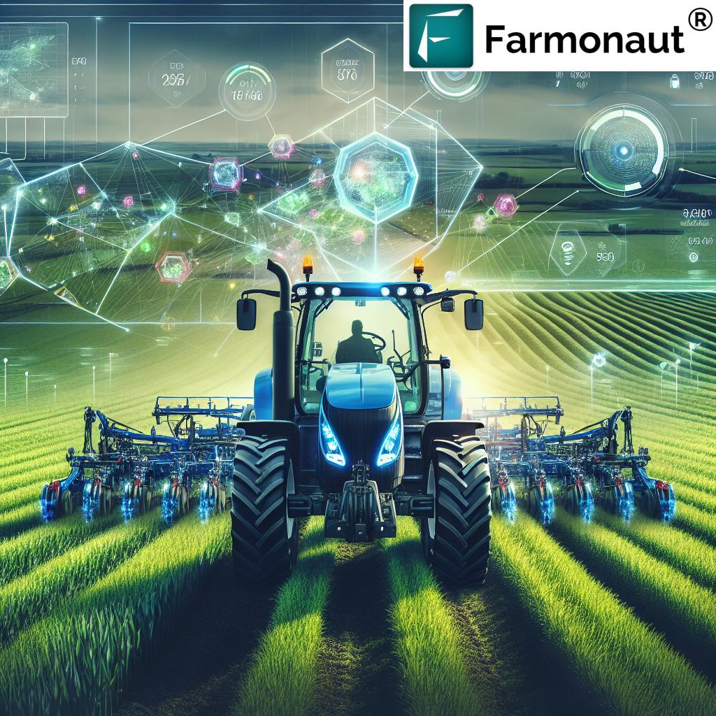
- Internet of Things (IoT) Integration: Integrating satellite data with field sensors (measuring soil moisture, temperature, etc.) and agricultural drones enables a holistic precision agriculture technology approach—timely interventions based on both satellite and on-ground sensors.
- Farm Management Software & APIs: Many platforms allow farmers and agribusinesses to centralize satellite analytics, field records, planning, and compliance documents in one user-friendly interface—often accessed via web, Android, or iOS apps.
- Blockchain for Traceability: Ensures transparency—from the farm all the way to the consumer—by recording every production, handling, and shipping event securely and immutably. Ideal for food safety and sustainability certifications.
How Farmonaut Empowers Precision Farming with Satellite Technology
At Farmonaut, our mission is to make precision agriculture affordable, scalable, and accessible for farmers worldwide. We harness the power of advanced satellite imagery, artificial intelligence, and blockchain to solve the real-world challenges of modern agriculture.
Our platform, available as a web, Android, and iOS app, as well as an API, offers a fully integrated farm management solution for diverse stakeholders:
- Individual Farmers: Benefit from detailed, real-time crop and soil health monitoring, enabling smarter input allocation, pest management, and yield optimization—without expensive hardware or infrastructure.
- Agribusinesses: Use our tools for large-scale plantation management, real-time fleet tracking, and data-driven decision-making across production, logistics, and sustainability.
- Government & NGOs: Employ our systems for region-wide yield estimation, policy-making, food security planning, and program implementation.
- Corporate Clients: Leverage blockchain-based traceability for transparent, trusted agricultural supply chains.
Highlights of our offering:
- Satellite-Based Crop Health Monitoring: Get NDVI, soil moisture, and stress maps throughout the season.
- Jeevn AI Advisory System: Personalized, real-time farm advice—integrating weather and satellite data for adaptive strategies.
- Blockchain-Based Traceability: Secure, transparent recording of crop production stages, benefiting both farmers and end consumers.
- Fleet & Resource Management Tools: Optimize machinery, labor, and logistics to reduce operational costs.
- Carbon Footprint Tracking: Measure, monitor, and improve sustainability and environmental compliance.
Our flexible, subscription-based pricing (see below) makes precision agriculture attainable at every scale. You can manage from a single parcel to thousands of hectares—operating via mobile or browser from anywhere.
Overcoming Challenges and Considerations
No solution comes without its own set of hurdles. While satellite imagery in agriculture delivers immense benefits, it is essential to recognize and proactively address the following challenges:
- Data Interpretation: The sheer volume of raw spectral and spatial data can overwhelm producers who lack experience in geospatial analysis. Fortunately, modern platforms (including ours) now integrate user-friendly dashboards and AI insights to support intuitive, actionable decision-making for all users.
- Cost: While the ROI on improved yields is substantial, access to high-resolution, frequent imaging and advanced analysis tools may still be out of reach for some smallholders. Affordable subscription models and scalable offerings are critical to democratizing precision technology.
- Integration with Existing Systems: Introducing satellite-driven workflows into entrenched, manual, or legacy software systems can require a learning curve. Robust, well-documented APIs and stepwise onboarding (which we provide) streamline this transition.
- Internet Connectivity in Rural Areas: Some applications depend on internet for real-time updates. Offline data sync features help address this.
The pace of innovation is fast reducing these barriers. Combined with ongoing education, support, and documentation, satellite-based solutions are now more accessible and effective than ever before.
Conclusion: Satellite Imagery’s Transformative Impact on Precision Agriculture
Satellite imagery is a cornerstone of the future of precision agriculture. It brings together the best in remote sensing, AI, and data-driven insight, enabling farmers to make faster, more informed decisions that directly lift yields, cut costs, and promote sustainability.
From crop health monitoring and soil moisture analysis to yield forecasting tools and efficient water use optimization in farming, these advances empower farmers, agronomists, and policymakers to integrate science-based strategies—leading to measurable improvements in both productivity and environmental stewardship.
As we look forward, the expansion of multispectral, hyperspectral, and AI analytics, the integration of APIs, and the push towards transparency and traceability are set to further revolutionize remote sensing in agriculture. By embracing these innovations, farmers worldwide will continue to unlock the full potential of their land, crops, and resources.
For sustainable farm management practices—visit our Farmonaut homepage today!
FAQ: Satellite Imagery in Agriculture
What is satellite imagery in agriculture?
Satellite imagery in agriculture is the use of remotely sensed images from orbiting satellites to observe, measure, and analyze crops, soil, and water conditions. It is a precision tool to optimize resource use, monitor health, and improve yields in farm management.
What is NDVI and how does it benefit crop production?
NDVI—the Normalized Difference Vegetation Index—is a key spectral index calculated from satellite data. It measures plant photosynthetic activity and biomass. By highlighting crop stress and variability early, NDVI crop monitoring enables timely, targeted interventions to protect and enhance yield.
How does satellite imagery advance water use optimization in farming?
By providing accurate data on soil moisture, evapotranspiration, and crop water needs, satellite imagery supports optimized irrigation scheduling. This ensures that every area of a field receives water only as needed, leading to significant savings and sustainability improvements.
Can satellite technology help detect pests and diseases earlier than traditional methods?
Yes. Hyperspectral and multispectral satellite imagery can detect subtle plant stress caused by pests and diseases up to 10 days before symptoms are visible to the human eye, enabling rapid, effective intervention and reducing overall pesticide use.
How does Farmonaut make advanced satellite solutions accessible to all farmers?
We provide a scalable, affordable subscription model through web, Android, iOS apps, and a flexible API. Our platform supports everything from individual field assessment to regional farm management, enabling access to powerful satellite and AI-driven insights for farmers, agribusinesses, and policymakers regardless of scale.
How can I start using Farmonaut for my farm?
Simply sign up for our platform or download our mobile apps, select your area of interest, and start receiving satellite-driven farm intelligence today!
Satellite imagery in agriculture is no longer a futuristic concept; it’s your competitive edge—available now. Whether you seek yield forecasting tools, real-time health monitoring, or water use optimization in farming, the next era of efficient, sustainable crop production is just a click away. Choose Farmonaut for seamless, science-based management of your agricultural enterprise.


