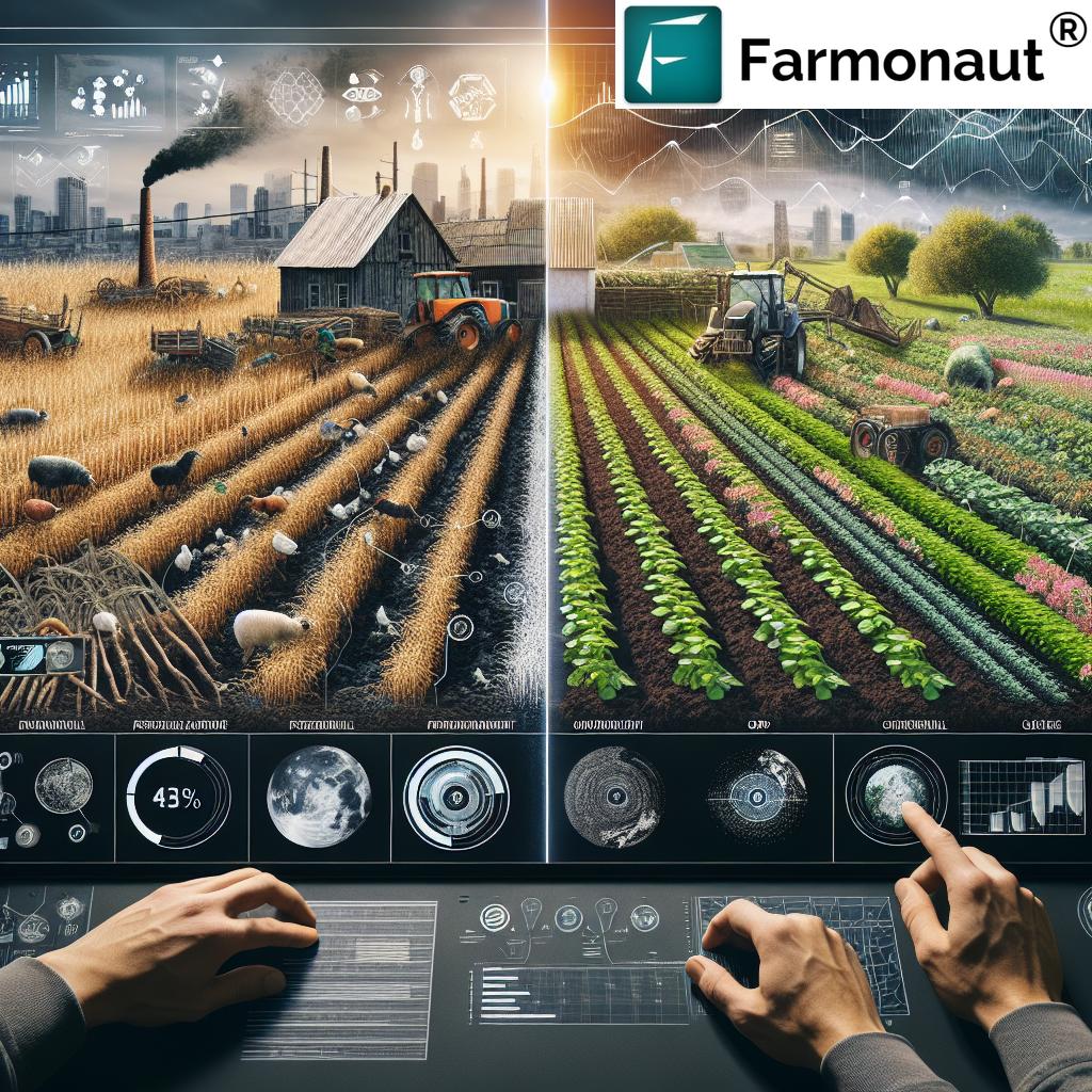
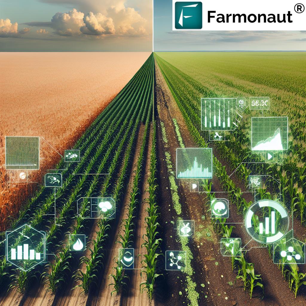
Farming GPS Systems: Unlock 7 Shocking Precision Hacks
“Modern GPS-guided tractors can reduce field overlap by up to 90%, saving significant time and fuel during planting.”
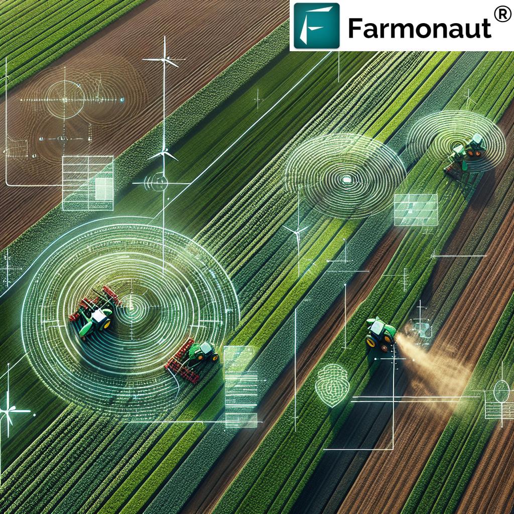
As we navigate the dynamic landscape of modern agriculture, global positioning system (GPS) technology is changing the game. Through precision agriculture, GPS empowers farmers to unlock new levels of efficiency, crop yields, and sustainability.
- How are farmers utilizing GPS to make smarter data-driven decisions?
- Which precision farming techniques save time, fuel, and resources?
- What role do emerging tools like satellites and AI play in the future of agriculture?
In this comprehensive guide, we unravel the seven most shocking hacks powered by farming GPS systems. We dive deep into their applications, benefits, and the revolutionary impact they deliver, drawing from the latest precision agriculture research and, crucially, the innovative roadmap championed by Farmonaut.
Table of Contents
- 7 Essential Farming GPS Precision Hacks
- Applications of GPS in Precision Agriculture
- Types of GPS Receivers in Agriculture
- Impact of GPS Precision Hacks on Key Farming Metrics
- Economic & Environmental Impacts
- Integrating GPS with Emerging Technologies
- How Farmonaut Empowers Precision Farming
- Challenges and Considerations in GPS-Driven Agriculture
- FAQ
- Conclusion
7 Essential Farming GPS Precision Hacks
Let’s discover the pivotal GPS-based hacks transforming modern farming. Each leverages advanced positioning system capabilities to optimize resource application, minimize waste, and drive real-time results across all field management tasks.
“Precision GPS systems can increase crop yields by as much as 15% through optimized seed placement and resource management.”
- High-Accuracy Field Mapping & Precision Soil Sampling
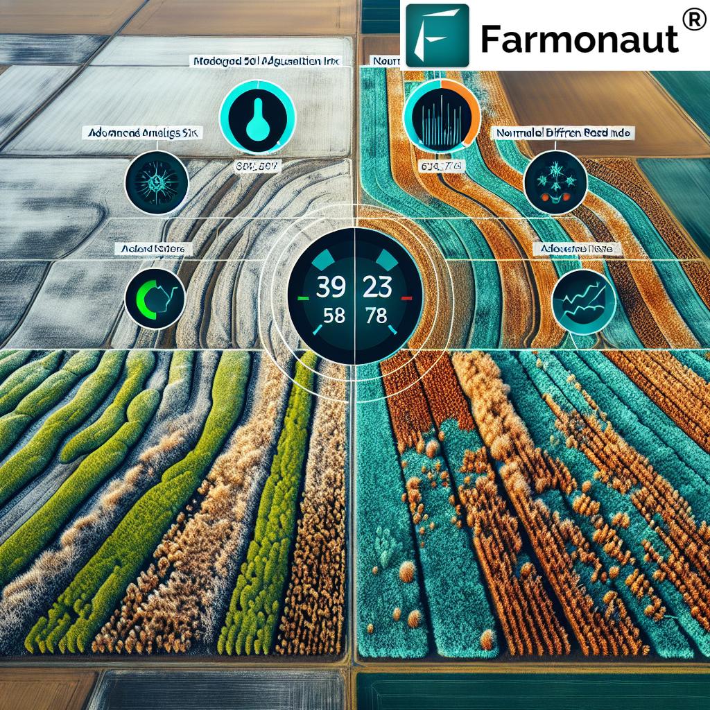
By integrating GPS technology in farming, we create detailed field maps that account for subtle variations in soil properties, topography, and drainage patterns. This enables precision soil sampling, empowering data-driven nutrient management plans tailored for every location within the field. It ensures that fertilizers and amendments are applied at the most effective and optimal rates and locations. This use of precision data unlocks field-by-field optimization, enhancing both yield and sustainability.
- Variable Rate Application (VRA)
Variable rate application—think of it as customized nutrition for your crops. By utilizing precise GPS positioning data, VRA systems adjust the rates of fertilizers, pesticides, and seeds in real time, based on the unique needs of each section of the field. This targeted approach reduces waste, ensures resources are used efficiently, and minimizes environmental impact. With VRA, we maximize yield while using fewer inputs!
- Automated Steering Systems in Agriculture
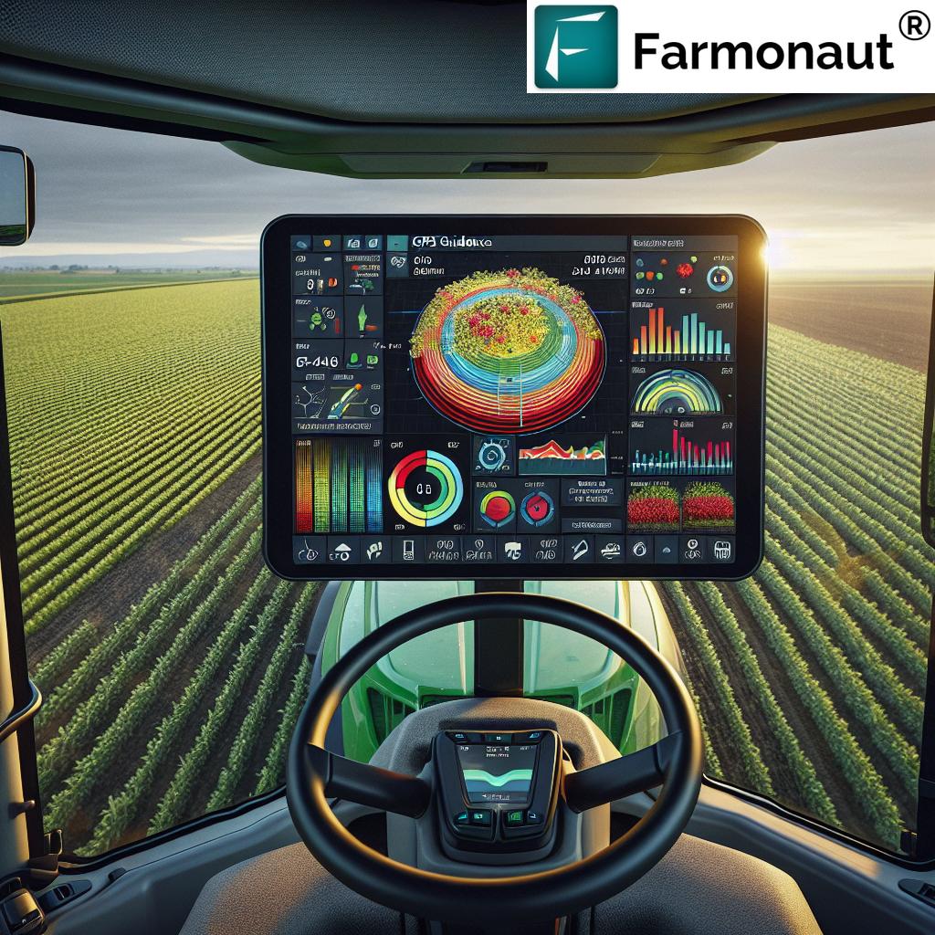
Gone are the days of guesswork and overlap! GPS-driven automated steering systems provide precise guidance to tractors and field machinery. This reduces human error, overlap, and improves consistent coverage. The result: fuel and input savings, and perfectly straight rows for all planting, spraying, and harvesting activities. This innovation alone can save countless hours in large-scale farming operations.
- Crop Yield Monitoring
Using real-time GPS data, we can track crop yields during harvest with surgical accuracy. Yield monitoring systems highlight high- and low-performing areas in each field, revealing the impact of differing management strategies. This information fuels smarter rotation strategies, helps optimize inputs, and forms the basis of continuous improvement.
- Crop Health Monitoring with GPS-Enabled Sensors
Our fields tell a story—if we listen. GPS-enabled sensors collect health indicators such as chlorophyll content and canopy temperature in real time. This proactive, data-rich approach allows us to detect early signs of stress or disease and take action before problems escalate. It’s about prevention, not just cure.
- Accurate Fleet and Resource Management
Managing fleets and equipment over large areas is a logistical challenge. GPS-driven management solutions, like those available in the Farmonaut Fleet Management System, streamline operations. They track vehicle usage, improve efficiency, reduce costs, and ensure equipment is deployed where it’s needed most for every farming cycle.
- Real-Time Carbon Footprinting and Sustainability Tracking
GPS systems now go beyond yield—they help us track our environmental impact. Real-time carbon footprinting records emissions, resource use, and enables farms to demonstrate and improve their sustainability efforts. Platforms like Farmonaut Carbon Footprinting make this process streamlined and accessible.
How Farmonaut’s Satellite Technology is Revolutionizing Land Use in Agriculture
Applications of GPS in Precision Agriculture
Why GPS Technology is Central to Smart Farming
GPS technology in farming underpins nearly every innovative technique modern farmers rely on. Key applications include:
- Field Mapping and Sampling: Accurate spatial data enables us to identify variations in properties, topography, and drainage patterns, aiding precision soil sampling and helping design optimal nutrient plans.
- Variable Rate Application: Matching application rates of fertilizers, pesticides, and seeds to specific field zones minimizes waste and ensures resources are applied efficiently. Learn more about how large-scale farm management platforms simplify this process for agribusinesses.
- Automated Steering: Guidance systems reduce overlap, cut down fuel usage, and provide a consistent approach to planting, spraying, and harvesting across diverse terrains.
- Real-Time Monitoring: From yield tracking to crop and soil health analytics, GPS-linked sensors supply actionable data, allowing for fast, informed management responses.
Explore Farmonaut’s Advanced Crop Monitoring & Yield Prediction
Types of GPS Receivers in Agriculture
We know that mapping and accuracy are the heart of precision farming techniques. The type of GPS receiver chosen can define both the resolution and cost of data available to us:
- Stand-Alone GPS Receivers: Basic and budget-friendly (typically $100–$1,000), these are suited for simpler mapping with accuracy levels between 4–10 meters, mainly for preliminary field mapping or basic machinery guidance.
- Differential GPS (DGPS) Systems: Enhanced with reference stations, DGPS improves accuracy to 0.1–1 meter. Ranging from $1,000–$10,000, they are ideal for applications demanding finer precision such as variable rate input management.
- Real-Time Kinematic (RTK) Receivers: RTK achieves 1–10 cm accuracy, crucial for tractor autosteer and demanding planting tasks. Systems may cost from $10,000–$40,000 but offer unmatched precision for high-value crops and large-scale operations.
When integrating technologies, such as those available through Farmonaut’s digital platform, even small and medium-scale farms can now access these advanced tools through mobile and web-based solutions—no hardware upgrades necessary!
Impact of GPS Precision Hacks on Key Farming Metrics
| Hack Name | GPS Feature Utilized | Estimated Yield Increase (%) | Estimated Input Reduction (%) | Sustainability Impact |
|---|---|---|---|---|
| High-Accuracy Field Mapping & Soil Sampling | Real-Time Mapping, Position Tracking | 8–10% | 10–15% | Enables targeted input use, reduces excess fertilizer & runoff |
| Variable Rate Application | Zone-Specific Rate Setting | 7–12% | 15–20% | Less chemical input; less pollution |
| Automated Steering Systems | Precise Machine Guidance | 4–8% | 10–15% | Reduces fuel use, field traffic, and compaction |
| Crop Yield Monitoring | Spatial Yield Data Collection | 10–15% | 10–12% | Informs future rotation & input strategies |
| Crop Health Monitoring | Sensor-based Health Data, NDVI Analytics | 8–14% | 12–18% | Proactive issue detection, reduces crop loss & input waste |
| Fleet & Resource Management | Machine & Asset Tracking, Efficiency Analytics | 5–8% | 10–13% | Optimizes equipment use, reduces emissions |
| Carbon Footprinting & Sustainability Tracking | GPS-Aided Emissions & Input Monitoring | 6–10% | 5–8% | Drives sustainable farming practices, aids compliance |
Farmonaut Cloud-Based Crop Monitoring | Smart Farming with Satellites
Economic & Environmental Impacts of GPS Technology in Farming
Modern agriculture—powered by GPS—balances efficiency, yields, and environmental responsibility.
- Cost Savings: By optimizing resource use, reducing waste, and lowering input and fuel costs, GPS precision hacks drive major operational savings for both individual farmers and large agribusinesses.
- Increased Productivity: Consistent and accurate coverage, along with precise yield mapping, directly contributes to increased farm productivity across all crop cycles.
- Environmental Benefits: Targeted applications of inputs lead to less chemical runoff, reduced soil erosion, and efficient water use—protecting soil and the planet for the next generation.
Sustainability tracking—through tools like GPS-enabled carbon footprinting—also enables transparently reporting and improving farm performance in line with regulatory and market requirements.
Integrating GPS with Emerging Technologies for Maximum Impact
AI in Agriculture: Real-Time Insights & Smart Predictions
Artificial Intelligence (AI) and Machine Learning (ML) analyze the immense flow of agricultural data from GPS, sensors, and satellite imagery. They identify patterns, detect anomalies, and offer automated recommendations for irrigation, planting, and crop protection. For instance, Farmonaut’s Jeevn AI Advisory delivers real-time, context-aware advice directly to our smartphones.
The Rise of IoT and Connected Farming Devices
The Internet of Things (IoT) integrates sensors and devices across our farms. GPS-enabled machinery, weather stations, and soil monitors communicate in real time. This interconnected network enables seamless automation—coordinating everything from irrigation to vehicle deployment—and supports remote monitoring and service management.
For developers and agri-researchers, direct access to Farmonaut’s API—(API) and comprehensive API developer docs—makes advanced satellite, GPS, and weather intelligence available in any custom workflow or smart farming platform.
Robotics & Automation: Drones, Driverless Tractors & More
From driverless tractors to autonomous planting and spraying equipment, GPS and robotics now handle complex agricultural tasks with unmatched precision. This means less labor, better timing, and higher overall farming efficiency—all critical factors to keep our operations competitive and sustainable.
Farmonaut | Cost Effective Blockchain Based Traceability Solutions for Textile and Fashion Industry
How Farmonaut Empowers Precision Agriculture for All
Farmonaut is accelerating the adoption of precision agriculture globally by bridging the cost and accessibility gap. Here’s how our technology suite transforms farming:
-
Satellite-Based Crop Health Monitoring:
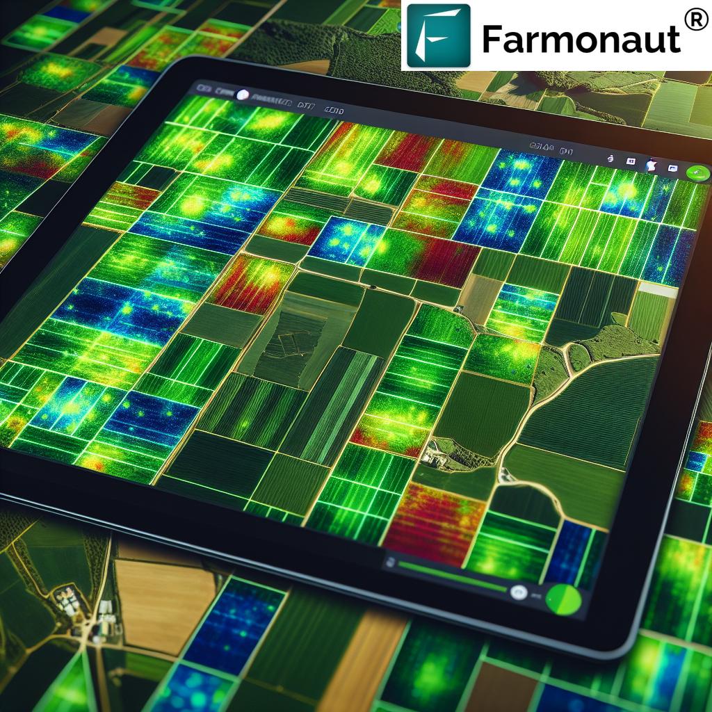
Multispectral images deliver deep insights into NDVI (vegetation health) and soil moisture—no expensive hardware required. This enables both smallholder and large-scale farmers to improve crop yields and reduce losses. -
Real-Time AI-based Advisory:
Jeevn AI integrates satellite data, weather, and field history to provide on-demand, actionable advice—elevating productivity for every user. -
Blockchain Traceability:
Farmonaut Traceability allows companies and farmers to verify the journey of their crops, guaranteeing authenticity and transparency from farm to consumer. -
Fleet & Resource Optimization:
Fleet Management tools direct machinery with data-backed precision, reducing fuel, maintenance, and operational costs. -
Environmental Compliance & Carbon Tracking:
Carbon footprint monitoring enables agribusinesses to track emissions and align with modern sustainability standards. -
Crop Loan and Insurance Verification:
Satellite verification tools streamline and secure crop insurance and loan approvals, reducing fraud and enhancing access to agricultural financing.
Try Farmonaut today and make the leap to truly intelligent precision farming—affordably and at scale.
Challenges and Considerations in GPS-Driven Agriculture
While the transformative benefits of GPS technology in farming are clear, there are several considerations all farmers and agri-managers must weigh:
- Cost of Implementation: Advanced receivers and custom equipment represent a significant upfront cost, especially for small-scale farmers. However, as platforms like Farmonaut rely on satellite data and cloud solutions, many precision farming techniques are now within reach for most farms.
- Data Management: Farms must effectively handle and interpret large volumes of data. Advanced agricultural data management and intuitive app interfaces help make sense of it all—delivering actionable insights instead of overwhelming information.
- Technical Learning Curve: Operating and integrating new technologies demands training and ongoing support. Farmonaut addresses this by offering user-friendly apps and responsive support, so every grower can benefit from the latest advancements.
Frequently Asked Questions (FAQs)
What are the biggest benefits of precision agriculture with GPS?
Precision agriculture with GPS enables targeted resource application, improved yields, reduced input costs, better environmental sustainability, and real-time actionable insights throughout the crop cycle.
How does variable rate application improve farming efficiency?
By using GPS data to adjust the rates of fertilizers, seeds, and pesticides in each zone, variable rate application minimizes waste and ensures that every input is applied where it is needed most—maximizing ROI and reducing negative environmental impact.
Is GPS-based precision farming only for large farms?
Not anymore! Solutions like Farmonaut’s affordable, satellite-based monitoring tools make GPS-enabled precision agriculture accessible for farms of all sizes—smallholders, co-ops, and even large enterprises.
What devices do I need to start with GPS-enabled precision farming?
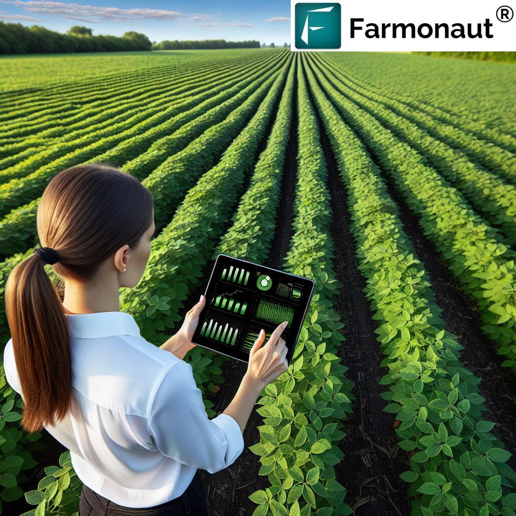
While dedicated GPS receivers improve accuracy for automated machinery, many applications now use affordable smartphones, tablets, and cloud-based platforms for real-time mapping, monitoring, and decision support.
How does GPS technology help with sustainability on the farm?
GPS enables tracking and optimizing of inputs, leading to less chemical runoff, more efficient use of water and energy, and accurate measurement and reduction of greenhouse gas emissions through carbon footprint monitoring.
Can satellite data replace traditional soil sampling?
Satellite and GPS data provide a broader spatial understanding and complement traditional soil sampling. By integrating both, farmers achieve more comprehensive and precise nutrient management strategies.
Is there a Farmonaut app for mobile and desktop?
Yes, Farmonaut is available through web, Android, and iOS, making it easy for users to access field data and insights from any device.
Conclusion: The Future of Farming Lies in Precision
The journey from traditional agriculture to smart, connected, and sustainable farming is accelerating—driven by the seamless integration of GPS technology, data analytics, and digital management tools. By harnessing the seven precision hacks outlined here, every farmer and agribusiness can optimize their operations: boosting productivity, reducing costs, and shrinking environmental footprints.
Platforms like Farmonaut exemplify this digital revolution. Through a blend of satellite imagery, AI, blockchain traceability, and resource management, Farmonaut empowers our community to farm smarter, not harder—regardless of location or scale.
As agriculture continues its march toward data-driven innovation, the power to monitor, adapt, and improve in real time ensures our farms remain productive, profitable, and sustainable for future generations.


