Farmonaut Satellite Data: 7 Powerful Ways to Boost Crop Health
“Farmonaut analyzes over 10 million acres of crops using satellite NDVI data for real-time health monitoring worldwide.”
Introduction: Why Farmonaut is the Global Standard in Satellite Agriculture
Farmonaut is rapidly becoming a household name in agritech and precision farming.
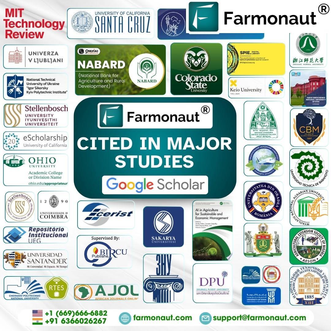
From being featured in MIT Tech Review to being referenced in major universities and global research studies, our satellite-powered agricultural insights are setting a new bar for data-driven crop health and sustainable farming technology.
But why is the scientific world – from Google Scholar to global agri research platforms – increasingly citing Farmonaut? The answer is simple: We deliver precise, actionable, and timely satellite data for agriculture that fuel smarter decisions, lower uncertainty, and catalyze innovation from research labs to the field.
- 🔬 Researchers trust Farmonaut for data-backed publications that shape policy.
- 🏭 Agribusinesses use Farmonaut to optimize inputs, boost yields, and enhance their sustainability.
- 🌍 NGOs & governments deploy our technology in large-scale environmental programs.
- 🚀 Farmers everywhere leverage our remote sensing to monitor crops, plan irrigation, and maximize productivity.
Whether you work in agri research, precision farming, sustainability programs, or digital farm ops—discover in detail how Farmonaut Satellite Data delivers 7 powerful ways to transform your crop health and fuel the global agritech revolution.
What is Farmonaut? The Technology Behind the Name
Farmonaut pioneers the integration of satellite imagery, AI in agriculture, blockchain traceability, and advanced analytics into practical, accessible solutions for farmers worldwide. Our mission: make precision agriculture affordable and scalable, from smallholders in India to large agribusinesses in Africa, and research institutions everywhere.
- Satellite-Based Crop Health Monitoring: Multispectral data (like NDVI – the global standard in crop health monitoring) and soil moisture analysis, delivered in near-real time.
- Jeevn AI Advisory: AI-powered, hyperlocal, and scientifically validated farm guidance, driven by remote sensing and microclimate data.
- Blockchain for Transparency: Supply chain traceability that builds market trust and reduces fraud.
- Resource and Fleet Management: End-to-end oversight; from crop progress to in-field logistics.
- Carbon Footprinting: Quantify, report, and reduce your environmental impact using our up-to-date data and analytics.
Our solutions are accessible by web, Android, iOS App, or direct API. (API access for businesses and developers: Farmonaut Satellite & Weather API. For documentation visit: Developer Docs)
Comparative Benefits Table: Farmonaut vs Traditional Monitoring
| Monitoring Method | Key Parameters Tracked | Data Frequency (Estimated) | Accessibility | Cost (Estimated) | Response Time | Impact on Crop Health (Estimated) |
|---|---|---|---|---|---|---|
| Traditional Methods | Visual inspection, manual soil checks, basic field records | Monthly or seasonal | Limited (requires presence, time, expertise) | High (labor, travel, manual sampling tools) | Slow (hours to days) | Moderate |
| Farmonaut Satellite Data | NDVI, EVI, SAVI, soil moisture, temperature, land use, disease detection, irrigation status | Weekly to real-time (depending on package) | Global (web, Android, iOS, API) | Low (subscription-based, no hardware) | Fast (minutes to a few hours) | High |
This comparison clearly demonstrates how Farmonaut’s satellite data offers transformative advantages for precision farming solutions and smart farming around the world.
7 Powerful Ways Farmonaut Satellite Data Boosts Crop Health
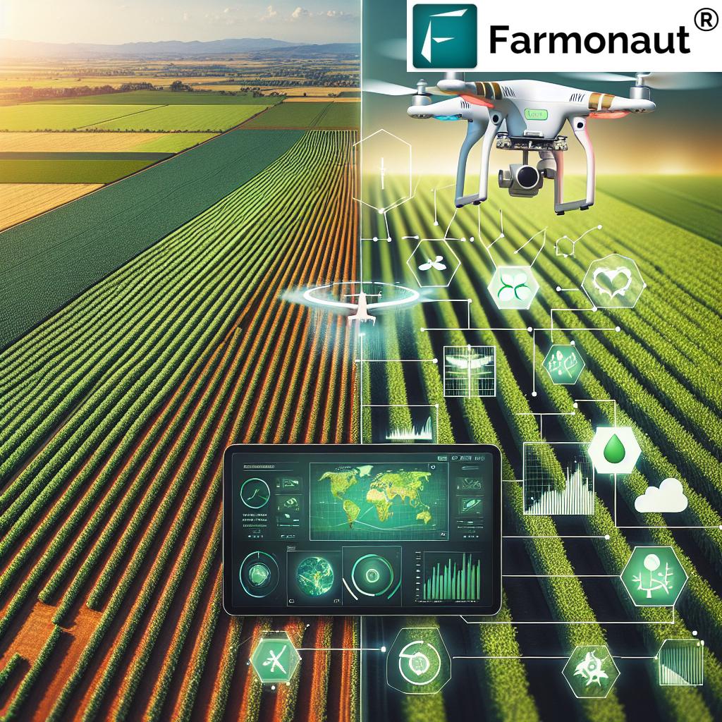
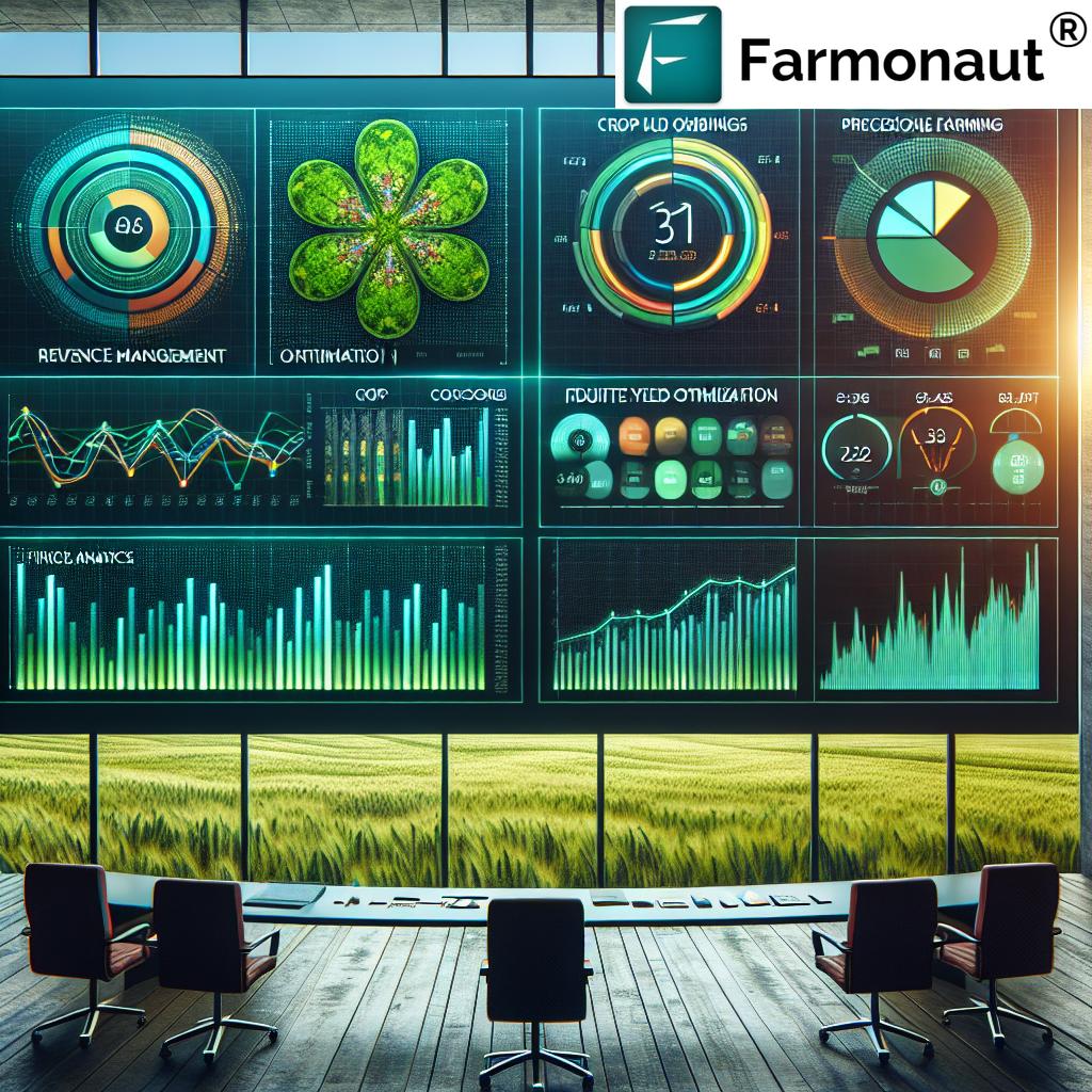
Let’s explore how Farmonaut’s satellite imagery, advanced remote sensing, and AI-driven insights unlock a new paradigm for sustainable agriculture and yield forecasting in agriculture.
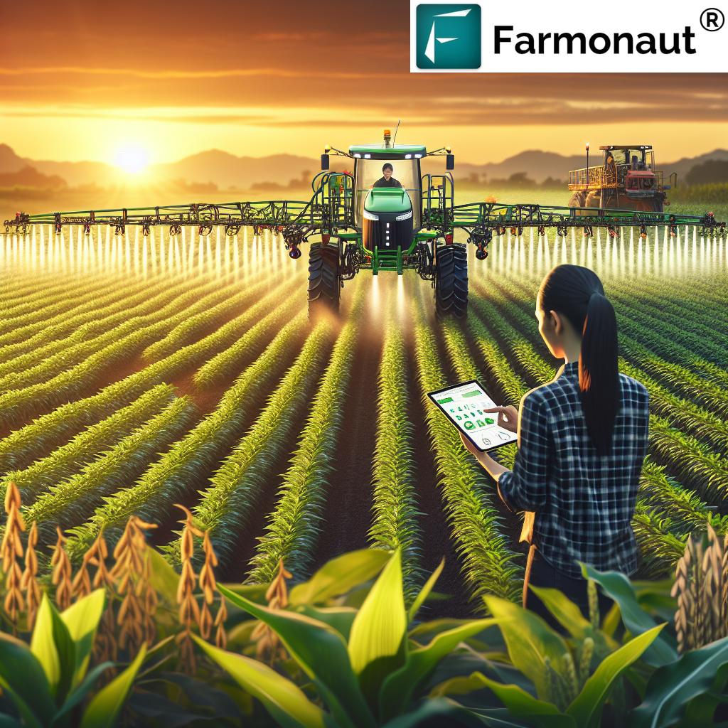
“Precision farming with Farmonaut’s satellite insights can increase crop yield by up to 20% through targeted interventions.”
1. Crop Health Monitoring with NDVI and More
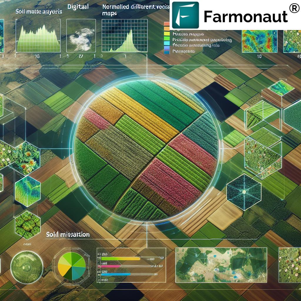
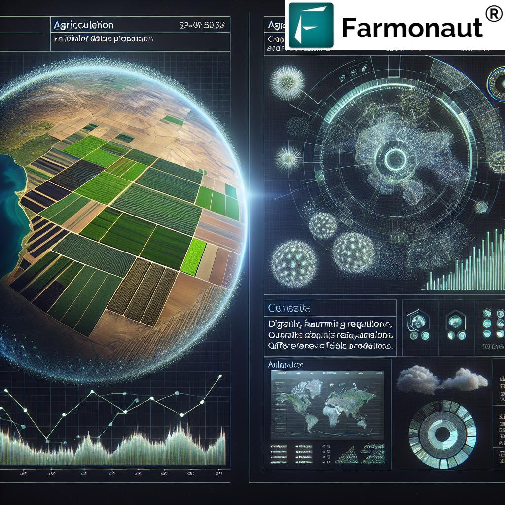
Our flagship service is crop health monitoring NDVI (Normalized Difference Vegetation Index). NDVI is a global standard in agri research for mapping vegetation health using satellite data.
- We combine NDVI with metrics such as EVI (Enhanced Vegetation Index), SAVI (Soil Adjusted Index), and NIR (Near-Infrared Reflectance) to provide multi-layered insights.
- Farmers and researchers receive spatial maps indicating stressed and thriving areas within fields, driving timely interventions (irrigation, fertilizers, pest control).
Benefits:
- Early identification of pest/disease outbreaks
- Reduced guesswork, data-driven decisions
- Consistent monitoring throughout the crop cycle
Examples of NDVI in Action
NDVI imagery (updated at your chosen frequency) can reveal water stress, nutrient deficiency, or pest zones. This leads to optimized input use, reducing costs and protecting the environment.
For managers of large estates and plantations, our Farmonaut Large Scale Farm Management Suite centralizes all your monitoring and reporting.
2. Soil Moisture Analysis for Irrigation Planning
Want to cut water bills and prevent crop stress? Our soil moisture analysis for irrigation uses satellite-derived indices to:
- Track moisture content layer-by-layer
- Guide precise irrigation scheduling (avoid over/under-watering)
- Minimize water waste, reduce resource costs, and protect crops from drought
For agri businesses and governments water boards, this enables scalable smart farming and sustainable farming technology that is both environmentally and economically efficient.
Check out our App for live moisture data: Farmonaut Platform Access.
3. Land Use & Environmental Tracking
Farmonaut’s satellite data for agriculture enables robust land use mapping for conservation and agriculture planning alike.
- Watch deforestation, expanding crop acreage, and urban encroachment in near real-time.
- Support environmental tracking for compliance, biodiversity, and regenerative practices.
NGOs, governments, and researchers use these maps to design and monitor sustainability programs at scale.
For farm operators, it empowers better planning: Farmonaut Field Boundary & Land Use Features.
4. Yield Forecasting in Agriculture
Forecasting yields is one of the biggest headaches and risk factors for stakeholders at every level. Our AI in agriculture system uses multispectral trends to deliver:
- Near-accurate yield estimation models weeks to months before harvest
- Reduced market and policy uncertainty
- Critical input for field operations, logistics planning, and market positioning
Benefits:
- Insurance, food security, and loan planning models become more robust and fair
- The Farmonaut Crop Loan & Insurance Solution leverages this data for speedy, substantiated lending and claim processing
Yield forecasting is directly tied to precision farming solutions. By acting on predictive insights, farms can minimize surprises and optimize resource allocation.
5. Jeevn AI Advisory for Precision Agriculture
Our pioneering Jeevn AI Advisory System is the digital agronomist in your pocket.
- Combines satellite imagery with in-situ farm data, historic trends, and expert databases
- Delivers actionable recommendations for irrigation, fertigation, pest/disease alerts, and crop switching
- Weather forecasts for proactive adjustments
AI ensures advice is continuously updated with fresh satellite data. Farm apps (Android, iOS, and web) deliver these insights on demand.
Try it via mobile app:
Android App |
iOS App
For forest managers or plantation crops, see dedicated tools: Crop, Plantation, & Forest Advisory
6. Blockchain-Based Traceability in Agri Chains
Blockchain isn’t just marketing fluff at Farmonaut.
Our traceability technology lets agribusinesses, food processors, and textile exporters guarantee the authenticity of their supply chain.
- Track every input and every step – farm, storage, transit, and retailer
- Reduce fraud and add trust for downstream consumers
- Meets traceability requirements for global certifications and sustainable branding
This is game-changing for sustainable farming exports, contract farming, F&B brands, and corporate responsibility initiatives.
For logistics-focused agribusinesses, our Fleet & Resource Management tools offer GPS-tracked optimization to slash operational costs.
7. Carbon Footprinting for Sustainable Farming
Today, sustainable farming technology is more than buzz. With Farmonaut, you actively measure and manage your environmental impact using Carbon Footprint Tracking.
- Real-time emissions calculation for farming operations
- Data-driven strategies to cut carbon output and report compliance for buyers and certification schemes
- Backed by actual satellite and operational data – ensuring accuracy for ESG goals
For NGOs, governments, and progressive agribusinesses, this feature is vital to powering genuine sustainability programs.
All these precision and transparency features are at your fingertips via web, Android, iOS App, or API integration:
Farmonaut Platform Access,
API Page.
Using the Farmonaut Platform: Apps, API, Accessibility for All
No matter your scale or tech landscape, Farmonaut is built for universal access and rapid deployment:
-
Web App: Set up boundary, view satellite data, export reports.
Start Now -
Android & iOS Apps: Monitor crops, receive AI advisory, get live notifications, and send instant soil/test data.
Get Android App
Get iOS App - API Integration: For enterprises and agri research platforms, the Farmonaut Satellite API and dev docs enable direct system access.
Our modular pricing ensures that solutions are scalable, and affordable, no matter the geography or acreage monitored.
Serving Researchers, Agribusinesses, NGOs & Governments Globally
Our agri research insights and analytics impact every stratum of global agriculture:
- Researchers: Access field-scale, regularly updated, and cited-by-the-best satellite data for methodologically sound studies and publishing. Our maps & datasets comply with Google Scholar–level rigor for scientific breakthroughs.
- Agribusinesses: From optimizing fertilizer schedules to staying compliant with traceability mandates, Farmonaut operationalizes data into productivity and sustainability. See our Fleet Management and Traceability solutions.
- NGOs & Governments: Manage regional sustainability programs or disaster responses. Deploy yield forecasting in agriculture, crop area monitoring, and climate adaptation with carbon footprint reports.
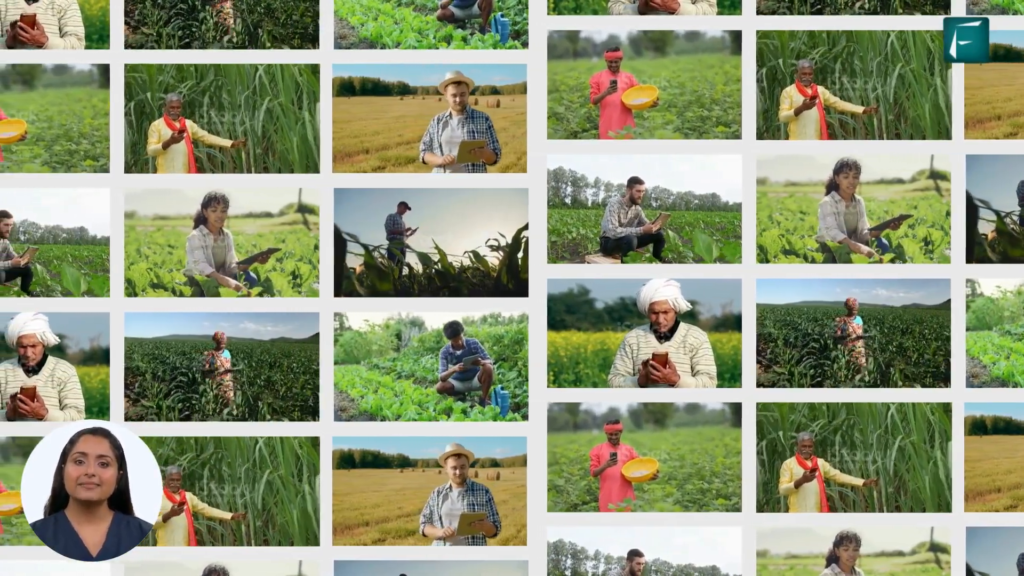
- Farmers & FPOs: Improved yields and reduced resource costs, all without complex or expensive hardware.
Farmonaut has democratized access to satellite data, bringing the latest innovation in agriculture to the hands of all.
Farmonaut in Global Publications: Cited by the Best
It’s not just farmers who trust us; leading research institutions and global studies use Farmonaut as a data backbone for their publications.
- Featured in MIT Tech Review: Recognized for our science-based approach to crop health, resource sustainability, and climate action.
- Referenced by Universities and Policy Think-Tanks: Farmonaut’s data is a benchmark for accuracy and repeatability in agricultural analytics worldwide.
- Search Google Scholar: Find the growing library of agri research and scientific breakthroughs that leverage our platform for real-world, cited studies.
This global recognition is a direct reflection of our commitment to quality, transparency, and actionable insights—from smallholder fields to policy boardrooms.
Farmonaut Subscription Plans: Data for Every Farmer, Researcher & Business
Our fair, transparent, subscription-based business model includes flexible packages for:
- Individual small/marginal farmers seeking only their own field data
- FPOs or cooperatives overseeing village or cluster-scale farming
- Agribusinesses needing wide-ranging fleet and resource support
- Researchers and universities requiring high-frequency, exportable datasets
- Government or NGO programs running regional agricultural projects
All plans are highly scalable. Start with a single field, expand to monitor hundreds of thousands of hectares with a few clicks. Realize all the benefits of precision farming solutions—without the hardware expense.
Need a custom solution or API quote? Email us at support@farmonaut.com or call +91 6366026267 / +1 (669) 666-6882
Frequently Asked Questions (FAQ)
What is Farmonaut used for?
Farmonaut is a precision agriculture platform that delivers satellite imagery, NDVI crop health monitoring, soil and yield analytics, AI-driven advisories, and blockchain traceability for farmers, researchers, agribusinesses, NGOs, and governments globally.
How accurate is satellite crop health monitoring NDVI from Farmonaut?
Farmonaut employs high-resolution, multispectral remote sensing (NDVI, EVI, SAVI) for field-scale crop health maps. Accuracy depends on chosen resolution and cloud cover, but our data is trusted by researchers and cited in top-tier global publications.
How often is new satellite data available?
Depending on your subscription, Farmonaut updates satellite imagery from weekly to near real-time. This frequency lets you catch issues early and react quickly for maximum crop health.
Can I use Farmonaut outside of India?
Absolutely. Farmonaut is a global agri research platform, serving fields and users in every continent where satellite imagery is available.
Do I need any expensive hardware to start?
No. Farmonaut’s platform is software-driven: just use your browser, Android phone, or iPhone. All analytics and satellite processing are handled by our cloud engine.
Who benefits most from Farmonaut?
Small and large farmers, researchers, universities, agribusinesses, governments, NGOs, and financial decision-makers all use Farmonaut for crop monitoring, investment planning, and sustainability tracking.
How is Farmonaut different from other agri satellite platforms?
Farmonaut stands out due to affordability, AI-driven advisories (not just maps), carbon footprinting, blockchain traceability, and global recognition by leading research and policy institutes.
Where can I get support or check pricing for Farmonaut?
Contact support@farmonaut.com, or call +91 6366026267 / +1 (669) 666-6882. For self-serve, see our app and API for live quotes.
Conclusion: The Future of AgriTech is Satellite-Powered
Farmonaut stands at the intersection of scientific breakthroughs, sustainability, and agriculture remote sensing. We are proud to enable everyone—from farmers to researchers, from governments to global companies—to unlock their full yield and environmental potential, affordably and simply.
- 🔗 Ready to experience the next leap in agri monitoring? Visit farmonaut.com.
- 📧 For demo and queries: support@farmonaut.com
- 📞 India: +91 6366026267 | USA: +1 (669) 666-6882
We empower a true agritech revolution—one pixel, one field, one smart farming decision at a time.
Let’s revolutionize agriculture—one pixel at a time.


