Global Positioning System Farming: 7 Shocking Benefits!
Introduction: The GPS Revolution in Modern Agriculture
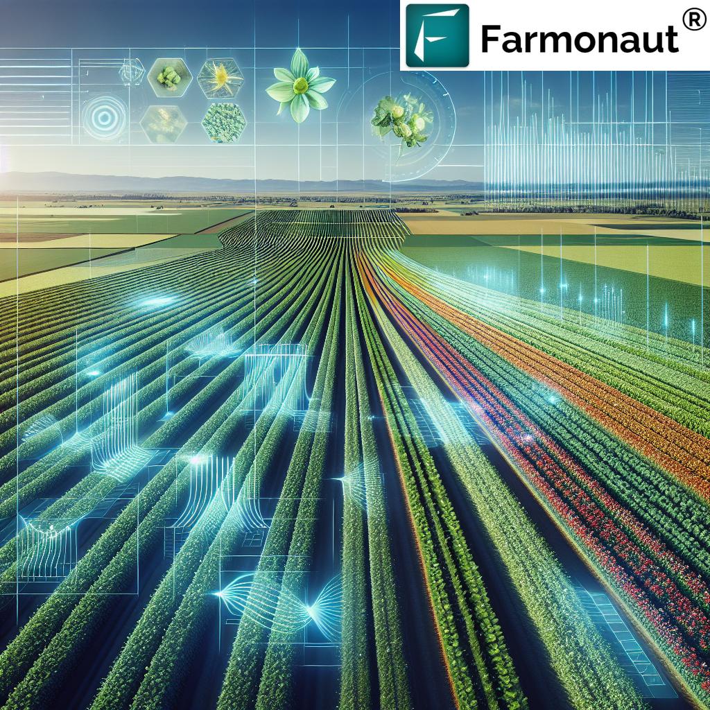
In the world of modern agriculture, we are witnessing a technological revolution. The Global Positioning System (GPS) has propelled precision farming into the spotlight, transforming how farmers approach management, efficiency, and sustainability on their farms. By leveraging GPS technology in agriculture, we have unlocked new levels of crop monitoring, data accuracy, and resource optimization, leading to higher yields and significant reduction in operational costs.
In this blog, we’ll reveal 7 shocking benefits of GPS farming, explore its game-changing applications, and highlight how platforms like Farmonaut empower farmers globally to harness the potential of satellite-powered precision agriculture. Buckle up as we journey through the fields of innovation!
“GPS-guided tractors can reduce fertilizer use by up to 15%, significantly lowering input costs for farmers worldwide.”
Key Applications of GPS Technology in Agriculture
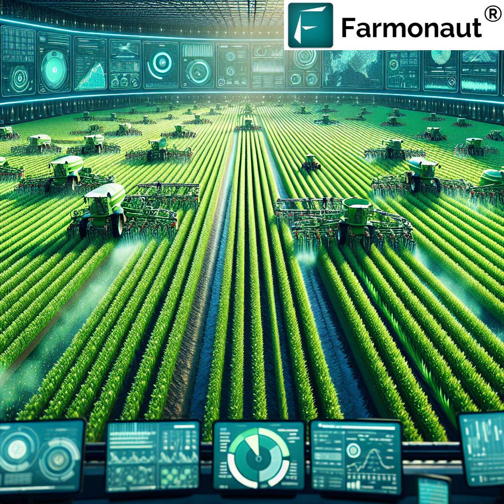
The integration of GPS technology into agriculture has paved the way for a suite of advanced applications that bring together operational precision, real-time crop monitoring, and data-based decision-making. Let’s dive into the most impactful uses of GPS in the field.
-
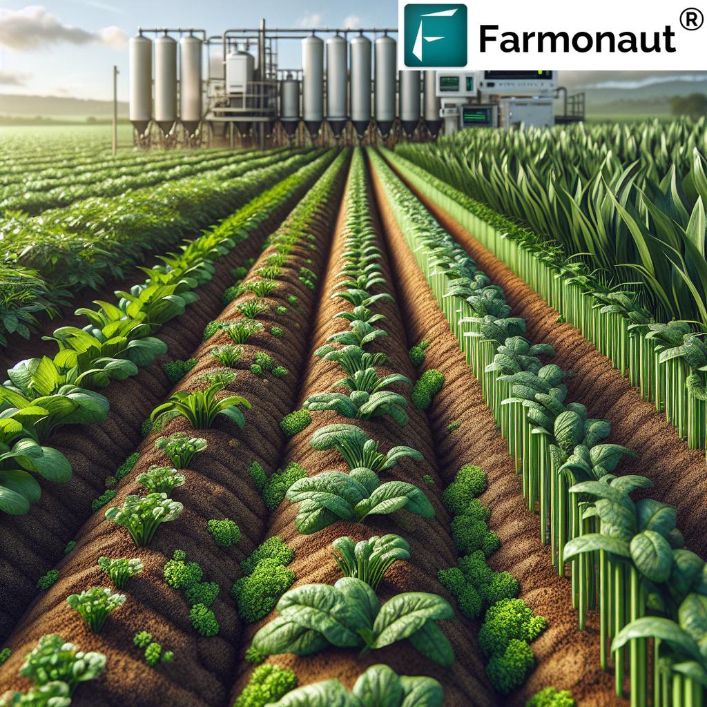
1. Field Mapping and Soil Sampling
Field mapping in agriculture uses GPS to create highly detailed, geo-referenced maps of farm plots. By combining GPS data with Geographic Information Systems (GIS), we can visualize variations in soil composition, crop performance, and irrigation needs. This enables us to identify specific areas requiring targeted treatments, enhancing resource management and boosting yields.
-
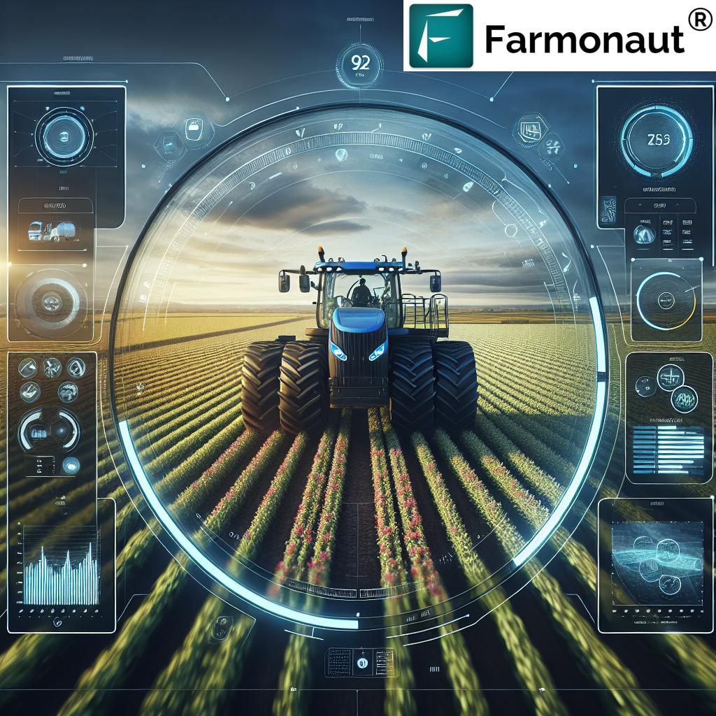
2. Machinery Guidance and Auto-Steering
GPS guided tractors and planters use advanced machinery guidance systems to automate field tasks. GPS ensures that each movement—from planting to spraying—follows precise pre-programmed paths, drastically reducing overlaps, gaps, and fuel consumption. Automated, embedded precision allows us to cover more ground efficiently while minimizing resource waste.
-
3. Variable Rate Application (VRA)
Variable rate application is a hallmark of precision farming. With GPS mapping and real-time data, farmers can apply fertilizers, pesticides, and water at varying rates across different field areas. This tailored approach reduces input waste, enhances crop growth, and lowers environmental impact.
-
4. Yield Monitoring Systems
Yield monitoring systems use GPS data to track and analyze crop yields in real time during harvest. This level of monitoring helps us pinpoint underperforming sections, leading to targeted interventions and improved productivity for subsequent seasons.
-
5. Irrigation Management
With GPS integrated with sensors and weather data, farmers can optimize water utilization by creating irrigation maps that reflect real-time soil moisture and crop needs. This technique promotes sustainability by reducing water waste and maximizing crop health.
-
6. Livestock Tracking and Management
GPS livestock tracking provides real-time location and movement information for animals through collars or ear tags. This enhances pasture management, prevents theft, and supports efficient grazing practices.
These applications have revolutionized modern field management by allowing for precise interventions, better data collection, and the ability to react swiftly to changing conditions. The integration of real-time crop monitoring and targeted resource use lays the foundation for truly sustainable farming practices.


“Precision farming with GPS boosts crop yields by as much as 20% through optimized planting and resource management.”
7 Shocking Benefits of Global Positioning System Farming
The impact of GPS technology in agriculture is nothing short of revolutionary. Here are the 7 most shocking benefits that are reshaping how we farm—driving precision, sustainability, and profitability for growers around the globe.
-
1. Enhanced Operational Precision
GPS systems provide meter-level to centimeter-level accuracy using techniques like Differential GPS (DGPS) and Real-Time Kinematic (RTK) positioning. This precision is the backbone of consistency in seed placement, fertilizer dispersal, and harvesting, enabling us to optimize every pass over a field and minimize human error.
- Reduce overlaps and missed strips in seeding and spraying tasks.
- Achieve uniform crop establishment and maximize germination rates.
-
2. Improved Productivity
Automated systems, such as GPS guided tractors and autonomous farming equipment, allow us to work faster and cover more ground with less fatigue. Less time spent on repetitive, manual tasks translates to increased productivity—and it’s a game-changer for both smallholder and large-scale farmers.
- Save up to 20% in time and labor through automation.
- Free up human resources for higher-value tasks and strategic farm management.
-
3. Resource Optimization and Cost Savings
Variable rate application (VRA) and GPS-enabled field mapping make input application highly targeted:
- Reduce seed, fertilizer, pesticide, and water use by 10–30% via GPS precision.
- Lower input costs and improve farm profitability.
- Protect the environment by minimizing run-off and overuse.
-
4. Data-Driven Decision-Making
GPS-enabled yield monitoring systems generate vast amounts of real-time data on crop performance and soil health. Combined with historical records, we’re able to:
- Make better planting and treatment decisions based on spatial variability.
- Forecast yields, plan for risk, and allocate resources more effectively.
-
5. Environmental Sustainability
Precision agriculture benefits the planet as much as it benefits us. By reducing chemical usage and optimizing irrigation, we’re helping to conserve soil and water resources for future generations. GPS-based sustainable farming practices are at the core of responsible agriculture.
- Lower the carbon footprint of farming operations.
- Reduce chemical leaching and soil degradation.
Want to track your farm’s carbon footprint? Check out Farmonaut’s Carbon Footprinting Solution for real-time data and actionable insights.
-
6. Real-Time Crop and Livestock Monitoring
GPS technology in agriculture enables real-time crop monitoring and livestock tracking. Farmers can get instant updates on field and animal health, improving rapid response to threats and streamlining management.
- Use satellite-based systems and IoT sensors to monitor crop vigor, soil moisture, and disease outbreaks as they happen.
- Enhance livestock safety and prevent losses through location tracking.
Looking for seamless farm traceability? Explore Farmonaut’s Blockchain-Based Product Traceability for end-to-end supply chain transparency.
-
7. Streamlined Farm Management & Regulatory Compliance
GPS data streamlines fleet and resource management, ensures efficient logistics, and helps maintain compliance with government and environmental regulations. Automated digital records are easier to audit and improve access to crop loans and insurance solutions.
- Use satellite data for evidence-based insurance verification and subsidy distribution.
- Enhance logistics through real-time tracking of equipment and field operations—see Farmonaut’s Fleet Management Tools for more details.
- Need secure support for crop loans? Read about satellite-based crop loan and insurance verification.
From increasing productivity to fostering sustainability, these benefits highlight why GPS technology is a cornerstone of the modern farm.
Comparison Table: GPS Farming Benefits vs. Traditional Methods
| Benefit | Estimated Improvement with GPS Farming | Traditional Method Performance | Impact on Farm Efficiency |
|---|---|---|---|
| Reduced Input Costs | -15% fertilizer/pesticide use | Manual application, variable & wasteful | +20% cost savings |
| Increased Yield Accuracy | +10% to 20% improved yield mapping | Limited/paper-based yield estimation | Data-driven yield optimization |
| Real-Time Monitoring | 24/7 remote crop and livestock data | Manual scouting, periodic checks | Instant threat detection & response |
| Precision Resource Application | Variable rates, 10–30% savings | Uniform rates, risk of over/underuse | Reduced input waste |
| Labor and Time Savings | Automated equipment, up to 30% time saved | High labor, slow manual operations | Accelerated workflow |
| Environmental Sustainability | +25% lower runoff, improved compliance | Unmonitored run-off, poor compliance | Long-term soil and water health |
| Enhanced Record-Keeping & Traceability | Automated, GPS-based digital logs | Paper or memory-driven records | Easier compliance & audits |
Farmonaut’s Role in Data-Driven Precision Agriculture
As pioneers in agricultural technology, Farmonaut brings the future of GPS farming and precision agriculture to your fingertips—no expensive hardware needed. Let’s discover how Farmonaut makes precision farming accessible, affordable, and scalable for everyone.
- Satellite-Driven Crop Monitoring: Through multispectral satellite imagery, Farmonaut delivers real-time insights into crop health, soil moisture, and pest risks—core for optimizing irrigation, fertilizer, and pesticide application.
- AI Advisory with Jeevn: Farmonaut’s Jeevn AI Advisory System analyzes field, weather, and satellite data to generate actionable guidance, directly improving farm productivity and resource use.
- Blockchain Traceability: Every farm-to-fork step is logged securely for unmatched transparency. Interested in supply chain visibility? See Farmonaut’s Traceability Solution.
- Fleet & Resource Optimization: Manage machinery routes and logistics with pinpoint GPS tracking, reducing unnecessary travel, wear, and operational costs. More info: Fleet Management Page.
- Carbon Footprint Tracking: Farmonaut enables ongoing monitoring of farm emissions, empowering us to operate more sustainably and demonstrate compliance (learn more about Farmonaut Carbon Footprinting).
- Affordable Access: The platform runs on web, iOS and Android, with flexible subscription models (see below).
- API for Developers: Integrate Farmonaut’s GPS-powered satellite and weather data into any digital agri-system, ERP, or research platform (API, API Docs)
Farmonaut does not sell physical farm inputs or equipment; we empower you with satellite insights, AI, and data to make every decision smarter and more profitable!
Challenges & Limitations of GPS Technology in Agriculture
While GPS technology in agriculture offers compelling advantages, certain limitations and challenges should be acknowledged for a balanced perspective:
- Initial Investment Costs: While more affordable than ever, adopting commercial GPS systems (especially for equipment) involves significant upfront expenditure—potentially limiting access for very small farms.
- Knowledge and Training Gaps: Effective use of GPS and precision technologies demands ongoing technical training. Mastering advanced features, understanding data outputs, and integrating with farm routines can pose a steep learning curve.
- Signal Accuracy Issues: Local weather, hilly or heavily forested areas, and even dense cloud cover can compromise GPS signal accuracy, impacting planting, spraying, or mapping operations.
- Integration Complexity: Harmonizing GPS tech with farms’ existing digital management tools, yield mapping platforms, and AI advisory systems can require specialized support and maintenance.
- Data Privacy: As with all data-driven approaches, ensuring data security—especially when using cloud-connected farm management systems—remains an ongoing concern.
The good news? Continuous improvements in automation, AI training, and cloud services are steadily lowering hurdles and expanding accessibility for all, aligning with platforms like Farmonaut’s mission of democratizing precision agriculture worldwide.
The Future Is Bright: GPS-Enabled Precision Farming and Next-Gen Advancements
The rapid evolution of GPS farming promises even greater prospects for the agricultural world. Here’s a glimpse of what’s ahead:
-
Integration with Autonomous Farming Equipment
Autonomous vehicles—tractors, drones, and harvesters—are increasingly powered by advanced GPS systems. These machines can plant, spray, and monitor fields round-the-clock, reducing labor needs and minimizing human error. This is where digital platforms and GPS converge for full-farm automation.
Want to manage vast plantations or forests remotely? Farmonaut Large Scale Farm Management is designed for scaling multi-plot, multi-region agri-enterprises with automated tracking and advisory.
-
Machine-to-Machine (M2M) Communication
Modern equipment communicates through wireless protocols, leveraging GPS and data for seamless, coordinated operations. Picture sprayers, tractors, and harvesters syncing tasks autonomously—reducing downtime and ensuring optimal scheduling.
-
5G-Enabled Precision and Real-Time Crop Response
With 5G connectivity, vast amounts of sensor, GPS, and image data can be analyzed and actioned in real time. For instance, AI-driven weed identification and precision spraying become truly “responsive”—delivering treatments only where and when needed.
-
Blockchain-Based Compliance, Loans, and Insurance
Blockchain is transforming agri-finance and insurance, providing digital proof of field activities and yields, supporting rapid loan disbursement, and ensuring traceability on every transaction.
These ongoing advancements are set to further optimize yields, reduce costs, and strengthen both environmental and financial sustainability in agriculture. Farmonaut’s mission is to make all these innovations accessible for every farmer—everywhere.
Farmonaut Subscription Plans: Scalable Precision Farming for All
Whether you are an individual farmer, an agribusiness, or a government agency, Farmonaut offers flexible and affordable subscription models. Our packages scale with your needs—allowing precision agriculture to be cost-effective regardless of farm size or complexity.
Global Positioning System Farming: Frequently Asked Questions
-
Q: What exactly is GPS farming?
A: GPS farming refers to the application of Global Positioning System technology to guide, monitor, and optimize agricultural operations. This includes everything from field mapping, variable rate application, and yield tracking, to equipment guidance and livestock monitoring. -
Q: What are the main benefits of using GPS technology in agriculture?
A: Enhanced operational precision, productivity gains, optimized resource use, data-driven decision making, real-time crop/livestock monitoring, sustainability improvements, and streamlined compliance/farm management. -
Q: What is variable rate application (VRA) and why is it important?
A: VRA means applying fertilizers, pesticides, or water at differing rates across a field, based on actual soil and crop needs. With GPS and mapping, this drastically reduces wasted resources, saves costs, and boosts yields. -
Q: Are GPS-based solutions affordable for small farmers?
A: Yes! Platforms like Farmonaut deliver satellite-powered, GPS-driven precision ag capabilities affordably via web and mobile—no expensive hardware investment needed. -
Q: How does GPS technology support environmental sustainability?
A: By enabling precise application of chemicals and water, GPS reduces run-off, minimizes overuse, and protects soil and water resources—all while lowering carbon emissions per unit of production. -
Q: How does Farmonaut differ from traditional precision farming tools?
A: Unlike hardware-centric solutions, Farmonaut focuses on cloud-based, data-driven insights delivered through satellites and AI-driven advisory, making precision agriculture accessible and scalable for any user. -
Q: What support options are available if I get started with Farmonaut?
A: Farmonaut provides in-app guidance, tutorial resources, and API documentation for developers, plus responsive customer support via digital channels. -
Q: How can I integrate Farmonaut with my own agri platform?
A: Farmonaut offers robust API integration. Explore the API page and read our API developer docs for setup details.
Conclusion: The Future Is Here—Let’s Harness GPS for Smarter Farming
In summary, Global Positioning System farming is reshaping modern agriculture, helping us optimize resources, increase yields, and operate more sustainably. The applications and benefits of GPS technology now extend far beyond basic navigation—they empower every farmer to thrive in a data-driven world.
With leading platforms like Farmonaut, you no longer need a huge capital investment or special hardware to access the power of precision farming. From satellite-powered field mapping to AI advisory and blockchain traceability, we’re seeing the democratization of agricultural innovation.
If you’re ready to boost your crop yields, cut costs, and lead the way in sustainable farming practices, explore the Farmonaut web and mobile apps today:
Let’s step into the new era of GPS-powered, precision-driven, and globally connected farming. The future is bright—and it’s only a click away!