
Drone Surveying Secrets: 7 Shocking Agri & Forest Wins
Introduction: How Drone Surveying is Transforming Agriculture and Forestry
In today’s world, drone surveying in agriculture and forest management is reshaping how we monitor, manage, and optimize our vital natural resources. By leveraging aerial drones equipped with advanced sensors—from multispectral and thermal imaging to cutting-edge LiDAR mapping—we gain unprecedented insight into crop health, soil variation, forest growth, and environmental changes. No longer is the future of sustainable and productive farming the realm of science fiction. It’s here, accessible, and growing with every new season.
Our mission is to help you discover how drones, LiDAR, and multispectral imaging advance precision agriculture and forest health monitoring. In this comprehensive guide, we’ll reveal the “7 Shocking Agri & Forest Wins” achieved with tech-driven aerial surveying, discuss the technology powering these breakthroughs, and show how you can unlock similar benefits for your operations.
“LiDAR-equipped drones can map up to 400 hectares of farmland in a single flight.”


Why Drones Are Revolutionizing Agriculture & Forestry
As practitioners of farming, forestry, or environmental science, we confront a complex mix of resource constraints, environmental regulations, and market pressures. Drone surveying in agriculture and forestry is the breakthrough that answers these challenges with efficient, data-driven solutions:
- Cost-Effective: Drones replace manned survey flights and reduce time-consuming ground checks.
- Enhanced Precision: With aerial drone mapping services, we access granular data to make targeted interventions and improve yields.
- Environmental Sustainability: Drones reduce waste, optimize inputs, and support compliance with strict regulations.
By embracing these advanced technologies, we step into a future defined by sustainable, productive, and transparent farming practices—protecting crops, forests, and livelihoods.
Drone Surveying Secrets: 7 Shocking Agri & Forest Wins
1. Crop Health Monitoring: Precision From the Sky
The deployment of crop health monitoring drone platforms marks a leap in how we manage agricultural fields. Multispectral imaging drones scan fields using various wavelengths—including visible and near-infrared bands—to reveal subtle variations in plant reflectance that the naked eye cannot detect.
- Early Disease and Stress Detection: We identify nutrient deficiencies, disease, drought, or other stress on crops up to ten days before symptoms appear.
Benefit: Early identification enables faster, more effective targeted interventions, reducing potential loss and improving yields. - Real-Time AI Analysis: Advanced platforms (such as Farmonaut) leverage AI to process satellite or drone-acquired multispectral data, delivering actionable crop health maps, precise irrigation recommendations, and instant alerts.
Did you know?
“Multispectral imaging detects plant stress 10 days before visible symptoms appear in crops.”
2. Soil Analysis & Mapping: Unveiling Hidden Layers
Understanding the health of our soil is key to optimizing planting and ensuring sustainable production. Drone-based soil mapping, using LiDAR and high-res photogrammetry, generates detailed 2D and 3D maps highlighting:
- Composition Variations: These maps reveal differences in organic content, compaction, or salinity, guiding targeted fertilization strategies.
- Moisture Levels & Topography: Precision mapping assists us in water management planning, irrigation system placement, and soil conservation.
- Planning & Decision-Making: The insights gained allow for accurate crop planting plans and reduced waste, which translates into higher profitability and sustainability.
By harnessing LiDAR mapping in forestry and farming, we optimize input use, boost crop performance, and support soil conservation.
3. Irrigation Management: Optimizing Water Usage
With increasing water scarcity and climate unpredictability, precision irrigation management is non-negotiable. Thermal imaging drones map temperature differences across fields, pinpointing problem areas:
- Identify Over- or Under-Watered Zones: Drones detect variations in field temperature associated with water stress or excess.
- Facilitating Efficient Watering: Data-driven maps allow us to adjust irrigation scheduling and delivery, ensuring optimal hydration for crops.
- Reduce Waste: Less water gets lost through fast evaporating or runoff, lowering costs, and supporting environmental sustainability.
Combined with aerial drone mapping services, these insights minimize risk and increase the odds of consistent, robust yields.
“Multispectral imaging detects plant stress 10 days before visible symptoms appear in crops.”
4. Yield Estimation & Volume Calculations
Gone are the days when we waited for harvests to estimate yields. Today’s drones use high-resolution aerial imagery and advanced biomass determination techniques to:
- Estimate Crop Yields Pre-Harvest: By analyzing plant density, size, and vigor throughout the growing season, we predict volumes far more accurately.
- Volume Calculations & Documentation: Whether it’s grain, timber, or other biomass, these methods provide numerical records of yields and inventory for compliance, storage, and logistics planning.
This drone data analysis for farming streamlines planning, financing, and market engagement, fundamentally changing our approach to agricultural enterprise.
5. Comprehensive Environmental Monitoring
The foundation of sustainable farming and sustainable forestry management is ongoing environmental monitoring with drones. We rely on multispectral imaging and thermal sensors to:
- Monitor Vegetation & Soil Health: With targeted interventions, we can reduce fertilizer and pesticide use, detect erosion early, and ensure compliance with strict environmental regulations.
- Track Changes & Impacts: Consistent monitoring supports carbon footprinting, environmental impact reporting, and validates sustainable practices for certifications.
-
Curious how to track your farm’s environmental sustainability and emissions?
Explore Farmonaut’s Carbon Footprinting platform, offering real-time insights and compliance solutions for farms and agribusinesses.
The result: Efficient resource management, lower environmental impact, and higher stakeholder trust.
6. Forest Health Assessment & Growth Tracking
Forests are living ecosystems, vulnerable to pests, disease, fire, and environmental stress. Through forest health monitoring drones, we achieve:
- Stress & Disease Detection: Multispectral imaging detects changes in tree reflectance, spotting problems before they escalate.
- Track Tree Growth & Biomass: LiDAR and photogrammetry create 3D models, assisting in sustainable harvesting, biomass estimates, and inventory management.
- Inventory for Compliance: A reliable inventory is critical for sustainable forestry management and certification. Need a digital platform to track your plantation or forest data?
Check Farmonaut’s Crop Plantation & Forest Advisory tools.
With these tools, we safeguard biodiversity while sustaining the productivity of working forests.
7. Mapping, Measuring & Inventory with Drones
Every decision we make in farming or forestry is grounded in accurate data and spatial understanding. Drone LiDAR mapping and photogrammetry provide:
- Accurate Terrain & Feature Maps: Enabling us to plan planting, thinning, and harvesting operations down to the meter.
- Stand & Tree Measurement: Automated detection and measurement cut labor, increase efficiency, and support compliance and traceability.
-
Considering secure supply chain data?
Discover Farmonaut’s Blockchain-Enabled Product Traceability: Transparency from forest/farm to finished goods.
With drone surveying in agriculture and forestry, we now manage complex landscapes with confidence, accuracy, and full digital records.
“LiDAR-equipped drones can map up to 400 hectares of farmland in a single flight.”
Technological Advances Empowering Drone Surveying
LiDAR, Multispectral Imaging & AI: The Cornerstone Technologies
Our effectiveness in precision agriculture technology and forestry hinges on pairing the right sensors and intelligent analytics with drone platforms. Here’s how each game-changing component boosts results:
- LiDAR Technology: Light Detection and Ranging sensors emit laser pulses, generating incredibly detailed 3D terrain and canopy maps for forest inventory, flood risk, and erosion modeling.
- Multispectral & Thermal Imaging: These sensors capture subtle reflectance differences and temperatures, ideal for crop health assessment, water stress detection, and environmental monitoring with drones.
- Autonomous Flight Systems: AI-driven flight planning delivers repeatable, efficient, and accurate surveys, covering large areas with optimal speed.
Want to automate your data collection? Farmonaut’s Fleet & Resource Management platform enables smarter scheduling and utilization of your drone and machinery assets.
Integration with Cloud, APIs & Real-Time Analytics
Modern drone surveying is inseparable from powerful analytics and software integrations. Many enterprises opt for platforms offering:
- Cloud-Based Data Analysis: Seamlessly process, visualize, and store large volumes of field imagery and sensor data.
- API Access: Looking to build your own agri-tech applications or integrate advanced satellite/drone data? Farmonaut’s API and developer docs: Farmonaut API Docs enable rapid integration with third-party systems, mobile apps, or national data frameworks.
- Scalable Mobile Apps: Operate and access insights using your phone or tablet—no more desktop dependency.
Incorporating these innovations, we close the data gap for every farm, forestry parcel, and supply chain node worldwide.
Comparative Benefits Table: Drone Technologies in Precision Agriculture & Forestry
To visualize the power of drone surveying, below is a comparative table mapping dominant remote sensing technologies to their major applications and quantified benefits.
| Technology | Key Application | Estimated Operational Time Savings (%) | Yield Improvement (%) / Detection Accuracy (%) | Environmental Impact |
|---|---|---|---|---|
| Drones + Multispectral Imaging | Crop Health / Stress Detection | 75-90% | +15% Yield / 98% Stress Detection Accuracy | Low (Optimizes inputs & reducing waste) |
| LiDAR Drones | Forest Biomass, Canopy, & Terrain Modeling | 80% | 96% Tree Height / Volume Measurement Accuracy | Medium (Facilitates sustainable forestry management) |
| Thermal Imaging Drones | Irrigation Optimization | 85% | ~90% Accurate Water Stress Detection | Low (Saves water & energy) |
| Drones + Photogrammetry | Yield Estimation / Volume Calculation | 70% | +12% Yield Forecasting Accuracy | Low/Medium (Streamlined field ops, reducing emissions) |
| Autonomous Flight & Data Processing | Comprehensive Field & Forest Surveying | 90% | Automated Mapping ~99% Area Coverage | Low (Less manual labor & fuel usage) |
* All estimates based on aggregated field/project data, published research, and typical ranges for advanced drone surveying technologies.
* Environmental impact scale: Low (very positive), Medium (neutral/positive), High (potential risk without careful management).
Farmonaut: Making Precision Agriculture Data Affordable & Accessible Globally
Satellite and drone-powered agriculture has long been a dream for the world’s farmers, but the high cost and technical barriers kept most solutions out of reach—until now.
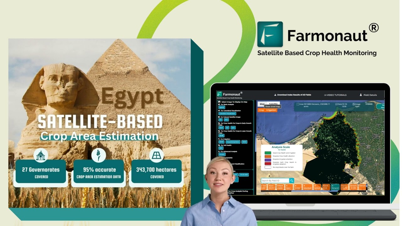
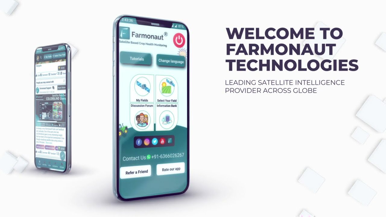
- Satellite-Based Crop Monitoring: Farmonaut democratizes access to real-time, affordable crop health data with actionable insights for irrigation, fertilization, pest management, and sustainable farming. Learn more on their homepage.
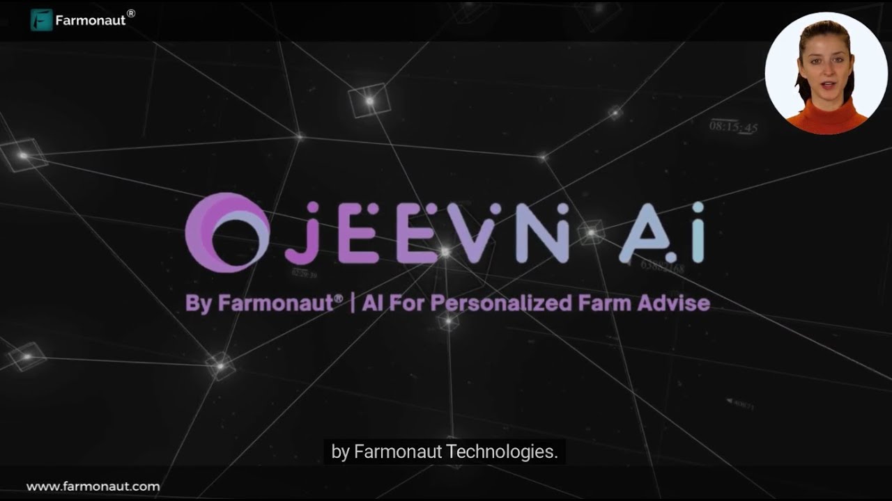
- AI-Powered Farm Advisory (Jeevn): Farmonaut’s Jeevn AI Platform analyzes imagery and weather to deliver personalized, field-specific advice straight to your app, improving productivity and resource use.
- Blockchain-Based Traceability: For those focused on compliance and transparency, Farmonaut offers robust traceability solutions for supply chains.
- Fleet and Resource Management: Manage agricultural assets, detect inefficiencies, and cut down on fuel and operational cost with Farmonaut’s fleet management tools.
- Scalable, Subscription-Based Platform: Individuals, cooperatives, agribusinesses, and governments can start small and scale up, paying only for what they use—simple, fair, and efficient.
Want to try Farmonaut? Access all data and advisory tools via:
Are you an agri-entrepreneur or policymaker? Integrate satellite and weather analytics using Farmonaut’s REST API (Developer Docs) for custom platforms and dashboards.
Interested in complete digital large-scale farm management? Farmonaut’s Agro Admin App covers plantation mapping, field logistics, performance analytics, and remote team collaboration—empowering leaders at all levels.
Challenges & Considerations in Drone Surveying in Agriculture & Forestry
While the benefits of drone surveying are immense, some barriers warrant attention for sustainable, scalable adoption:
- Regulatory Compliance: Regional laws govern drone flights, altitude, and privacy. We must always check and comply with all relevant regulations before launching a survey.
- Data Management: Each drone mission can generate gigabytes or terabytes of data. Robust cloud storage, automated data processing, and clear analytics workflows are essential, especially as farms grow in size and complexity.
- Technical Limitations: Drone battery life, payload restrictions, and unfavorable weather conditions can limit coverage or data quality. Ongoing technology advances are pushing these limits, but careful planning remains key.
- Security & Confidentiality: As more sensitive data is collected, secure platforms and traceability solutions become a necessity. Blockchain traceability—see Farmonaut’s product traceability—is one safeguard against data fraud or tampering.
- Skill Requirements: Transitioning from manual to digital operations requires training and support for farmers and foresters, ensuring no one is left behind during tech adoption.
The path forward involves smart policy development, investments in education and capacity building, as well as partnerships between technology platforms, farmers, researchers, and financial institutions.
FAQ: Your Drone Surveying in Agriculture & Forestry Questions Answered
-
Q: What are the main benefits of drone surveying in agriculture?
A: Drones enable real-time, targeted crop health monitoring, precision irrigation, early disease detection, reduced use of inputs, and improved yield estimation—all leading to higher productivity and lower environmental impact. -
Q: How do multispectral imaging drones work?
A: Multispectral drones capture images in several light bands (visible, near-infrared). Analyzing plant reflectance across these bands highlights stress, nutrient deficiencies, and disease not visible to the naked eye. -
Q: What is LiDAR mapping in forestry?
A: LiDAR-equipped drones emit laser pulses that measure distances to the ground and tree canopies, generating precise 3D models used for biomass assessment, canopy structure analysis, and terrain mapping for sustainable forestry management. -
Q: How secure is drone and satellite data?
A: Security depends on platform design. We recommend platforms that use blockchain traceability (like Farmonaut), encrypted storage, and strict access controls to protect data and ensure compliance. -
Q: How are these technologies made affordable for small and medium farmers?
A: Solutions like Farmonaut leverage open, affordable satellite and drone data—eliminating the need for each farmer to own expensive hardware—via mobile apps and flexible subscriptions. -
Q: Can I integrate drone and satellite data with my own apps or agri platform?
A: Yes! Application Programming Interfaces (APIs), such as Farmonaut’s API, let you plug advanced remote sensing analytics directly into your software and digital services. -
Q: What sectors benefit most from drone surveying?
A: Precision farming, forestry, seed and input suppliers, cooperatives, environmental NGOs, government agencies, and even financial institutions (for crop loan verification and insurance monitoring).
The Future of Drone Surveying: What’s Next for Agriculture & Forestry?
We stand at the beginning of a new era for agriculture and forestry, as AI/ML-driven analysis, autonomous drone swarms, real-time weather and crop stress forecasting, and fully integrated resource management platforms—like those offered by Farmonaut—become mainstream.
- Artificial Intelligence: Deep learning and AI models (such as Farmonaut’s Jeevn) will further automate assessment, intervention recommendations, and yield prediction—making farm and forest management proactive, not reactive.
- Drone-as-a-Service (DaaS): Professional drone operators or managed platforms deploy solutions for farms or plantations that are not ready for in-house operations, democratizing access further.
- Connected Agriculture: The merging of data from satellites, drones, IoT soil moisture sensors, and in-field weather stations delivers a holistic view of farm and ecosystem health.
- Blockchain Supply Chains: Blockchain-linked traceability is fast becoming a standard, requested by food processors, textile brands, and end consumers worldwide.
As these innovations accelerate, farmers and foresters must stay nimble, upskill teams, and select trusted technology partners.
Conclusion: Empowering Agri & Forestry Wins With Drone Surveying & Data-Driven Practices
The secrets are out. Drone surveying in agriculture and forestry delivers on its promise—enhanced productivity, sustainability, data accuracy, and compliance at scale. From precise crop health monitoring to forest health monitoring drones, yield estimation, and comprehensive environmental monitoring, these tools are now accessible and affordable thanks to innovation-focused platforms like Farmonaut.
Start experiencing the benefits: Sign up for a free Farmonaut account, explore API integrations, or download the mobile apps.
By putting powerful drone surveying, LiDAR mapping, and multispectral imaging into the hands of every farmer, agribusiness, and environmental leader, we are ready to address the global challenges of food security, biodiversity, and climate stewardship together.


