
Continental Divide Trail: 3 Powerful Moves for NM & CO Completion
“The Continental Divide Trail spans approximately 3,100 miles, crossing both New Mexico and Colorado.”
Introduction: Modernizing the Continental Divide Trail
The Continental Divide Trail (CDT) is a symbol of America’s outdoor heritage—a winding path that traverses the spine of the continent through New Mexico (NM) and Colorado (CO), among other states. Its completion and preservation are not only vital for adventure, recreation, and environmental stewardship, but also for the future of public land management and protected trail areas. Today, we find ourselves at a pivotal moment for national scenic trail completion, thanks to legislative action from Washington, DC, directly impacting NM and CO.

In this in-depth analysis, we will:
- Break down the three most powerful legislative moves for Continental Divide Trail completion in NM & CO,
- Examine implications for forest service land management, protected trail areas, and local economies, and
- Explore Farmonaut’s role in supporting sustainable trail and land management through precision, satellite-based agricultural technology.
The CDT National Scenic Trail Completion Act: Purpose & Progress
In March 2023, the bicameral Continental Divide Trail Completion Act was reintroduced in the United States Congress, spearheaded by Sens. Martin Heinrich (NM) and Steve Daines (MT), along with Reps. Joe Neguse (CO) and Teresa Leger Fernandez (NM). Despite the CDT being designated a National Scenic Trail in 1978, nearly 50 years later, important trail gap areas remain—especially along 160 highway-bound miles, primarily across NM and CO.
The Completion Act’s core mandate is urgent: direct the Secretaries of Agriculture and the Interior to prioritize completion of the CDT within ten years of enactment. True completion means relocating unsafe, unprotected road segments onto scenic, sustainable, and protected trail corridors. It further mandates a formal Trail Completion Team—drawing on the expertise of the Forest Service and Bureau of Land Management (BLM)—to execute these public land improvements.
Highlights:
- The Act prohibits eminent domain, ensuring fairness to private landowners.
- Government spending on trails is subject to Congressional appropriations for transparency and fiscal responsibility.
- The bill reached the Senate Energy and Natural Resources Committee, but awaits a full floor vote.


3 Powerful Moves for NM & CO Trail Completion
The Act introduces three transformative strategies to overcome long-standing CDT bottlenecks in NM and CO. Let’s examine these powerful moves for comprehensive national scenic trail completion:
-
Relocating Gap Areas onto Protected Trail Corridors
- The Act prioritizes rerouting the CDT’s remaining 160 “gap” miles, mainly in NM and CO, off highways and onto protected trail areas managed by the Forest Service and BLM.
- This process, known as “relocating national trails,” upholds the scenic, sustainable, and recreational mission of the CDT.
-
Trail Completion Team & Interagency Coordination
- Creates a specialized Trail Completion Team within the U.S. Forest Service and Bureau of Land Management.
- Improves efficiency in public land management, conservation, and multi-state land access agreements.
-
Fiscal Responsibility & Community Impact Assurance
- Government spending on trails is strictly regulated; land acquisition is voluntary and there is no use of eminent domain.
- Emphasizes a sensitive approach to forest service land management, considering both conservation and local stakeholder needs in NM and CO.
“The Trail Completion Act aims to protect over 1,000 miles of trail corridor on U.S. Forest Service lands.”
Trail Completion Progress & Conservation Impact Table
To contextualize these moves, here is a comparative table highlighting CDT completion and conservation in New Mexico and Colorado, including progress, protected areas, and key legislative milestones.
| Region | Trail Mileage (Estimated Remaining/Total) |
Completion Percentage (Estimated) |
Protected Areas Added (sq. miles) | Key Legislative Moves (Year/Act) |
|---|---|---|---|---|
| New Mexico (NM) | ~850 (30 remaining highway miles / 850 total) | ~96% | ~450 | 2023 CDT Completion Act 1978 National Scenic Trails Act |
| Colorado (CO) | ~800 (25 remaining highway miles / 800 total) | ~97% | ~520 | 2023 CDT Completion Act 1978 National Scenic Trails Act |
Source: Farmonaut analysis based on publicly available federal land and trail data. Values are estimates for illustration of progress and impact.
Relocating National Trails & Expanding Protected Trail Areas
Relocating national trails from dangerous or disruptive alignments onto secure, scenic, and sustainable land is both a logistical and a conservation challenge. The Completion Act’s emphasis on this process ensures that hikers, horseback riders, and future generations can traverse these legendary corridors safely—especially in NM and CO, where challenging gap areas persist.
The Relocation Process Explained
- Identification of Gap Areas: Forest Service and BLM teams conduct route analysis, mapping portions still on highway or unsuitable land.
- Voluntary Land Acquisition: The Act prohibits eminent domain, empowering agencies to negotiate with local landowners or find creative solutions (e.g., conservation easements, land swaps, or leasing).
- Trail Construction & Restoration: Once new routes are secured, trail crews build, mark, and restore the trail to meet national scenic standards.
Why Does This Matter for NM & CO?
- NM and CO together include the largest sections of trail gap areas in the American West.
- Expansion of protected trail areas benefits wildlife, water resources, and rural economies along the Divide.
- Mainstreaming forest service land management and collaborative stewardship ensures continuity and regional environmental health.
CDT & Forest Service Land Management in NM and CO
With tens of thousands of acres of National Forests—such as the Gila, Santa Fe, Carson, and Rio Grande in NM, and the San Juan, Grand Mesa, and Pike in CO—the Forest Service has a critical role in overseeing the CDT’s location, maintenance, and legacy.
Best Practices in Forest Service Land Management
- Multi-use Coordination: Trail completion must consider grazing, recreation, conservation, fire management, and carbon footprint reduction—all priorities for both states.
- Monitoring and Technology: Advances like satellite imagery and fleet/resource management tools support efficient, real-time assessment of both trail health and forest diversity.
- Restoration and Conservation: Restoring native habitats and managing invasive species along the trail corridor sustain ecological balance, aligning with NM and CO’s environmental goals.
As public land management evolves, integrating technology and data-driven decision-making boosts long-term success.
Federal Legislation & Government Spending on Trails
The responsibility for government spending on trails rests with several Congressional authorities—namely, the Senate Energy and Natural Resources Committee. This system preserves local voices and institutional transparency.
Key Features of the Completion Act’s Fiscal Framework
- Spending oversight—All appropriations must be passed through standard Congressional processes; no blank checks.
- No Eminent Domain—Federal power explicitly cannot be used to seize private lands for trail completion; only voluntary participation is permitted.
- Public Review—All land acquisitions or corridor adjustments are subject to public input and environmental review, supporting sustainable, inclusive trail planning in NM and CO.
-
Legislative Milestones:
- 2023: Latest introduction of the bipartisan Continental Divide Trail Completion Act.
- Progression through the Senate Energy and Natural Resources Committee, awaiting further Congressional action.
Public Land Management & Conservation Benefits
With the passage and implementation of the Completion Act, the CDT in NM and CO is poised for transformative conservation impact:
Conservation and Economic Benefits by Region
- Enhanced Wildlife Corridors: Protected trail areas minimize habitat fragmentation for species such as elk, black bears, and migratory birds.
- Water Quality Protections: By rerouting trails away from roadways, local watersheds like the Rio Grande, San Juan, and Pecos Rivers benefit from reduced pollutant runoff.
- Tourism & Recreation Boost: Safely completed, scenic trails attract hikers, equestrians, and ecotourists, directly benefiting rural NM and CO communities.
- Sustainable Land Use: Restoring and maintaining public lands along the trail sets a national example for balancing agriculture, forestry, and recreation.
Example: Land restored for protected trails can be monitored for carbon sequestration, ensuring sustainability compliance and maximizing ecosystem services.
How Farmonaut Can Empower Trail Management & Sustainable Landscapes
As we move toward seamless national scenic trail completion, leveraging cutting-edge technology is more crucial than ever. Farmonaut provides a powerful, satellite-driven platform ideal for trail health monitoring, land use planning, and sustainable resource management—key for stakeholders in NM, CO, and across the U.S.
How Farmonaut Supports CDT Stakeholders
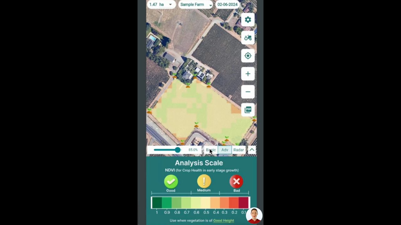
- Real-time Crop & Vegetation Health Monitoring: Farmonaut provides accurate satellite-based monitoring for NDVI, soil moisture, and land cover—critical for both agricultural users and conservation groups overseeing trail-adjacent landscapes.
- AI-Based Advisory for Land Stewards: Using AI, the Jeevn AI Advisory system delivers insights relevant to trail managers, landowners, and local authorities for managing vegetation, predicting fire risk, or optimizing habitat restoration.
- Blockchain-Based Traceability: Enhance transparency in land management and restoration projects through product traceability solutions, ensuring every intervention is documented from source to result.
- Carbon Footprint Monitoring: As carbon reporting becomes critical for conservation funding and sustainability certification, Farmonaut’s real-time, region-specific emissions tracking supports compliance and grant reporting.
- Resource & Fleet Management: Fleet management tools streamline on-the-ground fieldwork for agencies involved in trail completion and monitoring.


Want to integrate live satellite or weather data into your conservation project, research, or trail monitoring workflow?
Explore the Farmonaut API — comprehensive access to geospatial, meteorological, and land cover datasets.
See API Developer Docs & Integration Guides
Farmonaut’s vision—cost-effective, data-driven, and sustainable land management—is directly aligned with the goals of the CDT Completion Act and broader trail conservation initiatives in NM, CO, and across all public lands.
Resources & Tools for CDT Stakeholders
Whether you represent a land agency, non-profit, government body, or local farm along the CDT, maximizing both agricultural and environmental outcomes is key:
-
Large-Scale Farm & Public Land Management:
Streamline operations, monitoring and data management with the Farmonaut Agro Admin App. -
Crop Loan & Insurance Verification:
Satellite-based verification helps banks, conservation authorities, and project managers reduce fraud and improve disaster response for landowners along the CDT. -
Forest & Plantation Advisory:
Crop/farm/plantation advisory services are essential for sustainable land and resource management projects on or near trail corridors in NM and CO.
Farmonaut’s subscription packages—tailored for everyone from land managers to institutional researchers—make precision agriculture and land monitoring accessible, affordable, and easy to deploy:
FAQ: Continental Divide Trail Completion Act
Q1: What is the goal of the Continental Divide Trail Completion Act?
The Act aims to complete all remaining segments of the Continental Divide Trail, especially in New Mexico and Colorado, by rerouting unsafe road portions onto protected, scenic public lands—without using eminent domain.
Q2: How does the Completion Act protect private landowners in NM & CO?
The Act explicitly prohibits the use of eminent domain—ensuring that all land transitions for the trail are voluntary, respectful, and transparent.
Q3: Who enforces and administers the trail completion?
A Trail Completion Team composed of Forest Service and Bureau of Land Management staff is tasked with completion planning, execution, and stakeholder engagement.
Q4: What is the significance of protected trail areas for conservation?
Relocating the trail from highways to protected lands preserves contiguous wildlife corridors, improves water quality, and offers more enjoyable and sustainable recreational experiences.
Q5: Can technology improve trail and environmental management?
Yes—platforms like Farmonaut deliver satellite-driven insights for environmental monitoring, carbon footprinting, and efficient land/resource management for agencies and landowners alike.
Conclusion: Moving Toward a Sustainable CDT Future
The Continental Divide Trail Completion Act is more than another government policy — it is a bold step toward national scenic trail completion, enhanced protected trail areas, and the future of forest service land management in New Mexico, Colorado, and beyond. By supporting voluntary land management, leveraging government expertise, and responsibly allocating spending, the Act promises to transform one of America’s greatest landscapes for future generations.
With innovative technology, cross-sectoral engagement, and focused federal action, we have an unprecedented opportunity to advance the CDT—and with it, a model for sustaining our nation’s most precious lands.
You can be part of the solution—whether you manage lands, support trail conservation, or simply enjoy the natural beauty of NM & CO. Explore how Farmonaut’s digital, satellite, and AI solutions can power stewardship and sustainable land management today. The next decade can define the CDT for centuries to come.


