Agriculture GPS: 7 Powerful Ways GPS Boosts Indian Farming
“Indian farms using GPS-guided tractors report up to 20% reduction in fuel consumption during field operations.”
Introduction: How GPS is Powering a New Era of Indian Agriculture
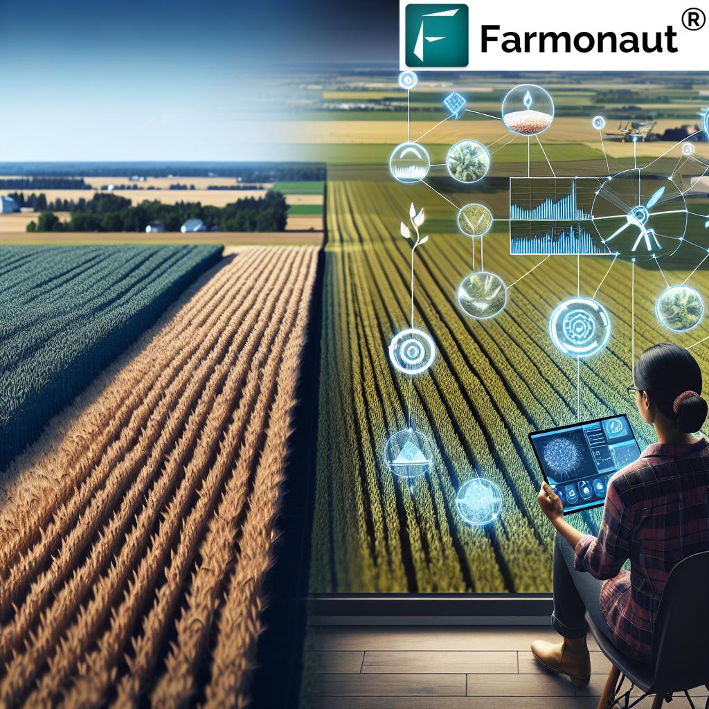
At Farmonaut, we have witnessed firsthand how GPS technology in agriculture is revolutionizing the landscape of Indian farming. With more than half of India’s workforce engaged in agriculture, the need for technology-driven transformation is greater than ever. By enabling precision farming techniques and advanced farm management systems, GPS is driving efficiency, sustainability, and profitability for farmers across the nation.
In this comprehensive guide, we explore seven powerful ways in which GPS technology is boosting Indian farming—optimizing yields, enhancing resource utilization, and promoting sustainable agriculture practices. We also discuss how platforms like Farmonaut are democratizing precision agriculture through accessible tech, and what the future holds for smart farming in India.
“Precision GPS mapping can increase crop yields by as much as 15% through optimized planting and resource allocation.”
The Role of GPS Technology in Agriculture
Global Positioning System (GPS) technology is at the core of the digital transformation in Indian agriculture. Unlike the conventional methods of farming, today’s precision agriculture leverages accurate location information via GPS satellites to revolutionize critical operations. By providing real-time geographic data, GPS empowers farmers to:
- Map their fields with pinpoint accuracy
- Analyze patterns in soil fertility, water use, and crop health
- Optimize application of inputs like fertilizers and water
- Automate equipment steering and reduce labor-intensive tasks
- Increase transparency and efficiency across the value chain
With reliable geospatial data, Indian farmers are now able to make informed decisions, reduce waste, optimize resources, and boost yields while following sustainable practices.
From soil mapping and sampling to real-time crop yield monitoring, GPS unlocks a world of actionable agricultural intelligence—vital for the future of Indian food security and rural prosperity.
7 Powerful Ways GPS Boosts Indian Farming
Let’s delve into the seven transformative ways in which GPS technology is reshaping Indian agriculture. We’ll see how precision farming techniques and advanced management systems are improving efficiency, yields, and sustainability on our farms.
1. Field Mapping and Soil Sampling: The Foundation for Precision Agriculture
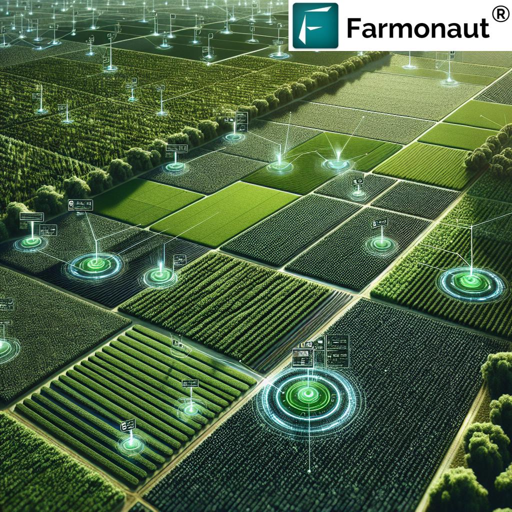
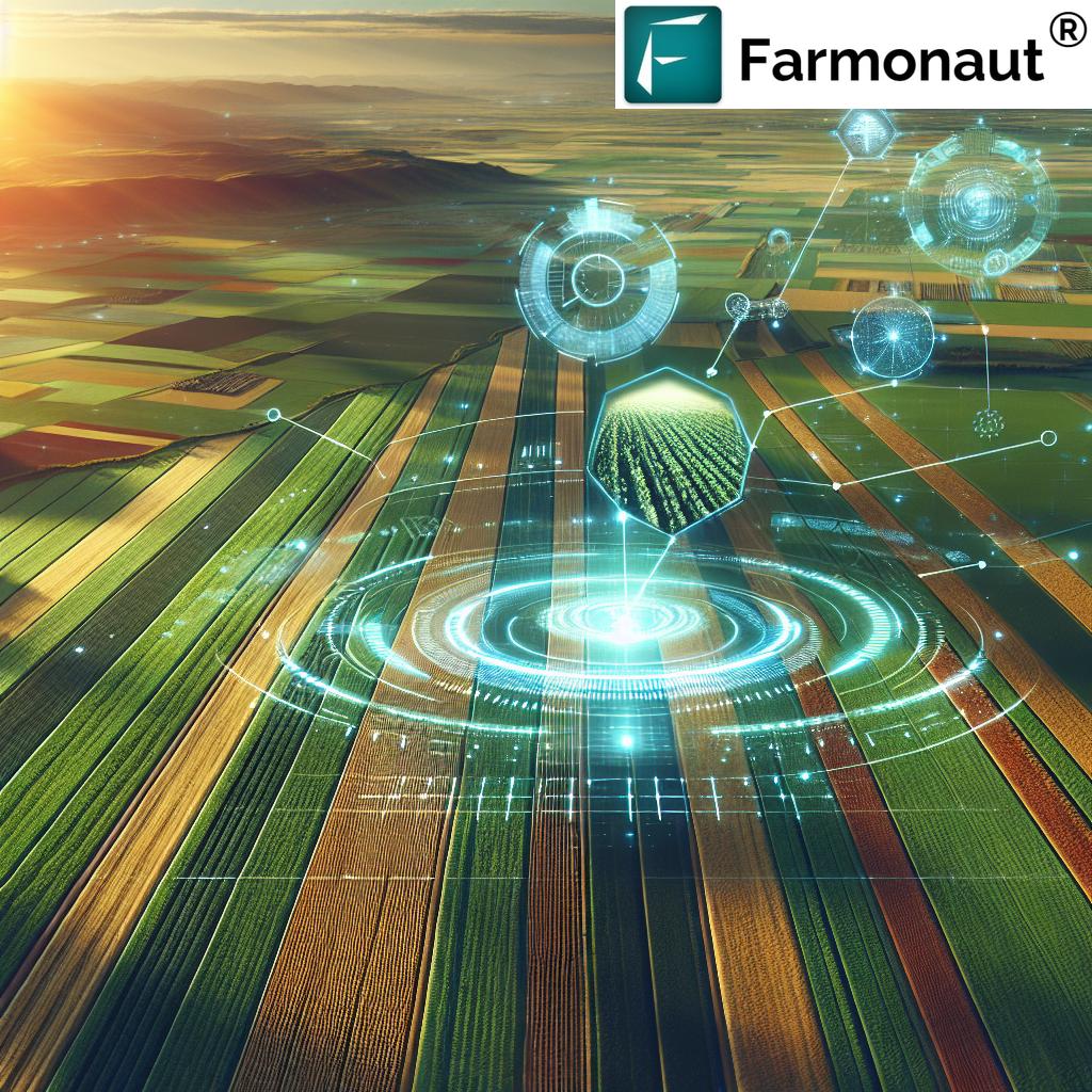
One of the most impactful applications of GPS is accurate field mapping and soil sampling. Using GPS-guided tools, we can create detailed digital maps of our fields that reveal subtle variations in soil fertility, topography, and drainage patterns.
- Targeted Soil Sampling: With precise coordinates, we collect soil samples from strategic locations, allowing us to assess soil health and understand spatial variability within our fields.
- Optimized Nutrient Management: These digital maps help us tailor fertilizer and amendment applications, ensuring each area receives what it needs for optimal crop growth while reducing waste.
- Promoting Sustainable Practices: By applying inputs only where necessary, we support environmentally-conscious farming and minimize runoff, crucial for long-term soil health and conservation efforts.
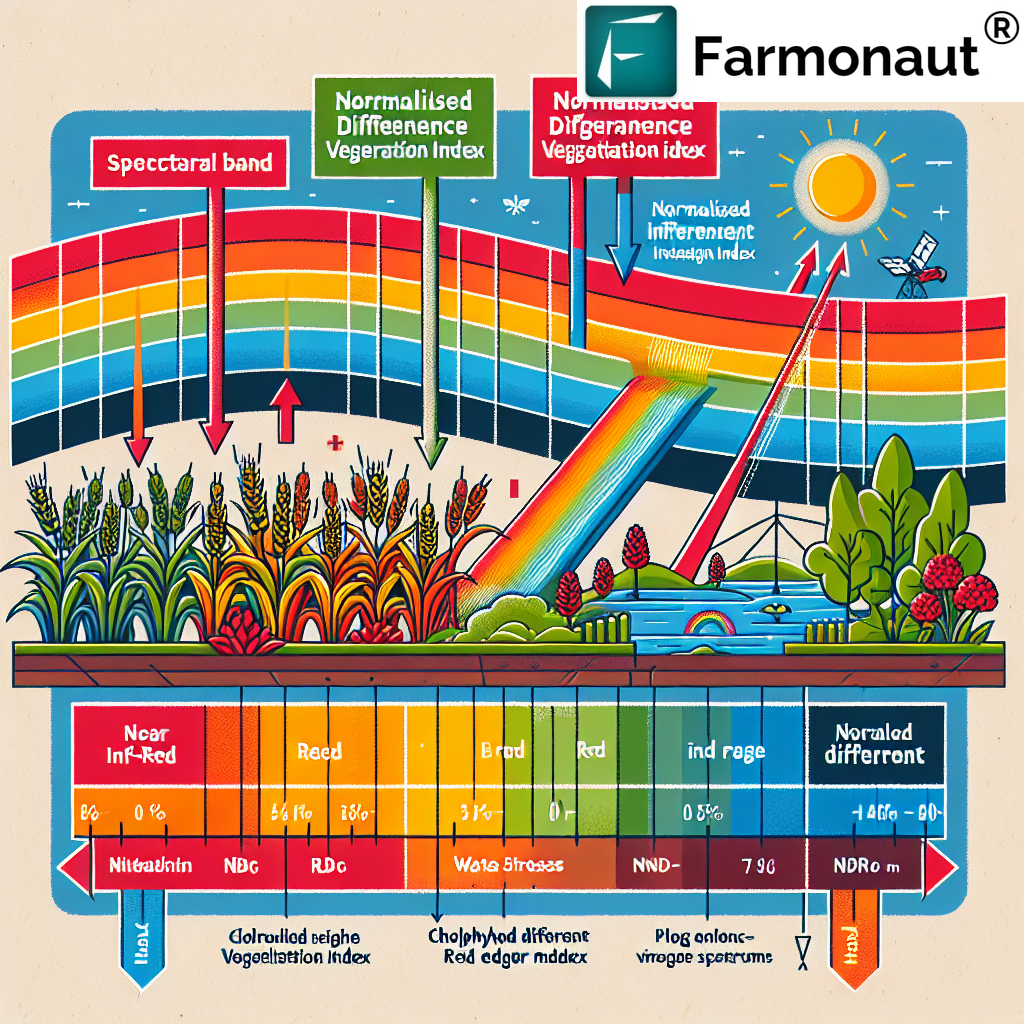
Farmonaut elevates this process with satellite-based crop health monitoring, enabling us to view real-time vegetation indices and soil moisture patterns via multispectral imagery, right from our smartphones or desktop. With these insights, we make informed decisions that directly impact yields and minimize resource use.
For larger operations or collaborative farming, check out Farmonaut’s Large Scale Farm Management Tools, which provide advanced mapping, satellite monitoring, and seamless coordination for co-ops, FPOs, and agro-enterprises.
2. Precision Planting: Uniform Emergence, Greater Yields
With GPS-guided planting equipment, we take the guesswork out of sowing. Modern machinery—powered by precise global positioning—places each seed at the optimal depth and spacing, following digitally-planned plots.
- Uniform Emergence: Precision planting promotes even crop emergence and growth across fields, minimizing competition among plants and reducing gaps.
- Optimized Resource Utilization: We can calculate and deploy exact seed rates, reducing wasted seeds and maximizing the yield potential per field hectare.
- Enhanced Efficiency: GPS eliminates overlaps and missed spots, cutting down on labor time and fuel costs for machinery.
By integrating Farmonaut’s insights on soil moisture levels and vegetation health, we refine our planting patterns season after season, continually improving outcomes and supporting sustainable agriculture practices.
Discover how precise planting and carbon tracking align for sustainability
.
3. Variable Rate Application in Farming: Fine-Tuned Inputs For Higher Efficiency
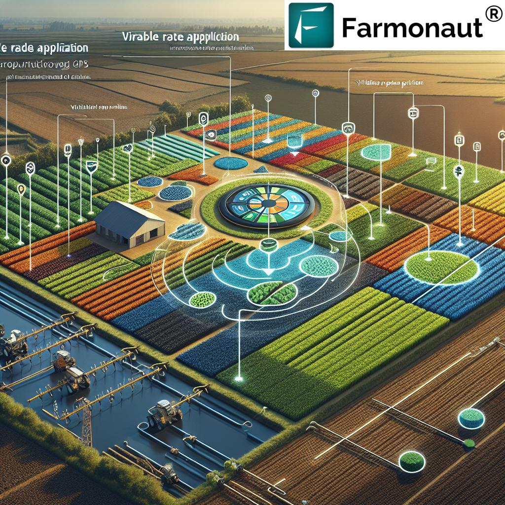
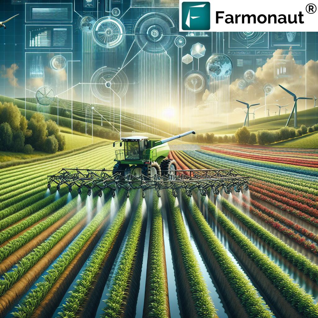
One of the biggest advancements made possible by GPS in agriculture is Variable Rate Application (VRA). By combining field maps, soil sampling, and real-time monitoring, VRA enables us to apply inputs (fertilizer, pesticides, water) at varying rates across different parts of the field.
- Targeted Input Application: GPS-guided applicators ensure each part of the field receives the optimal amount needed, boosting yields and reducing environmental impact.
- Lower Costs & Waste: Over-application and under-application are minimized, translating to cost savings, reduced input use, and healthier crops.
- Promoting Sustainability: VRA helps us follow best resource management practices, cutting down on runoff and preserving soil health for the long-term.
To automate and optimize these applications further, we rely on robust Farmonaut APIs that can deliver prescription maps and data directly into modern equipment—enabling seamless VRA, reducing labor, and saving time.
Explore how Blockchain-based Product Traceability (by Farmonaut) ensures input use and field data remain transparent across your crop journey.
4. Automated Steering Systems for Tractors: Enhanced Precision, Reduced Labor
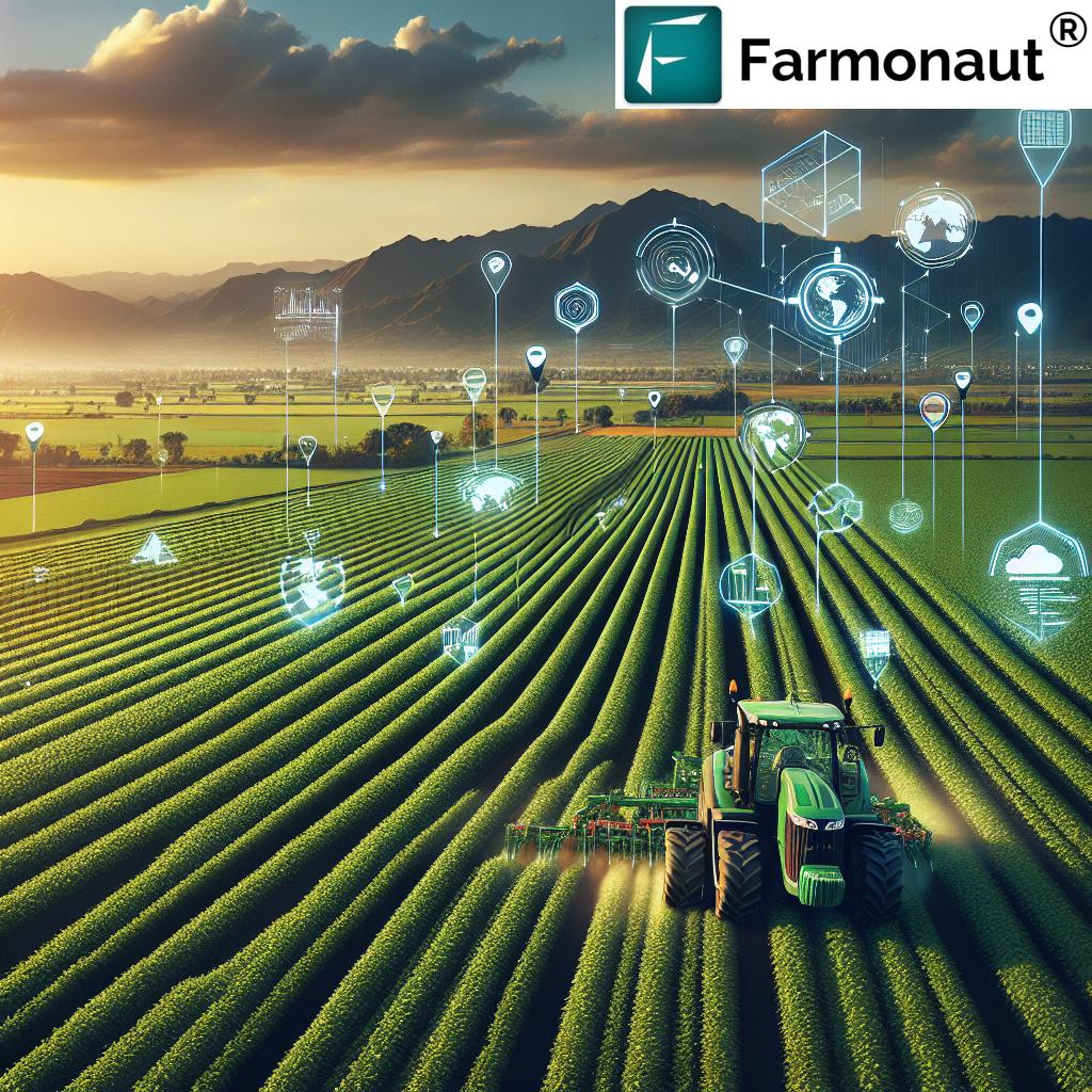
The adoption of GPS-enabled automated steering systems for tractors and other farm machinery is rapidly gaining traction. These systems, fed by continuous GPS data, guide equipment along predefined, highly accurate paths.
- Consistent Coverage: Every square meter of the field is covered—avoiding missed strips and unnecessary overlaps, crucial for efficient field operations.
- Reduced Operator Fatigue: With autopilot steering, our operators can focus on monitoring operations rather than constant manual corrections.
- Lower Fuel Use: Optimized driving translates into significant fuel savings and lower wear-and-tear on machineries.
- Minimized Errors: Computer-controlled navigation minimizes human error, improving uniformity and efficiency across planting, spraying, and harvesting.
These automated steering systems are central to Indian efforts in precision agriculture, helping farmers—large and small—achieve higher productivity with less input.
5. Crop Yield Monitoring and Mapping: Data-Driven Decisions for Every Hectare
Yield monitoring is a cornerstone of modern agriculture. Integrating GPS with yield sensors installed on harvesters, we can track crop output in real-time across entire fields.
- Yield Mapping: GPS ensures that every yield data point is tagged with accurate location information, allowing us to generate detailed maps of field performance.
- Identify and Rectify Underperforming Zones: By analyzing these yield maps, we pinpoint problem areas in the field and adapt our strategies accordingly—whether through targeted fertilization or improved drainage.
- Continuous Improvement: Historical yield data paired with GPS location helps us compare trends, plan crop rotations, and fine-tune our management strategies every season.
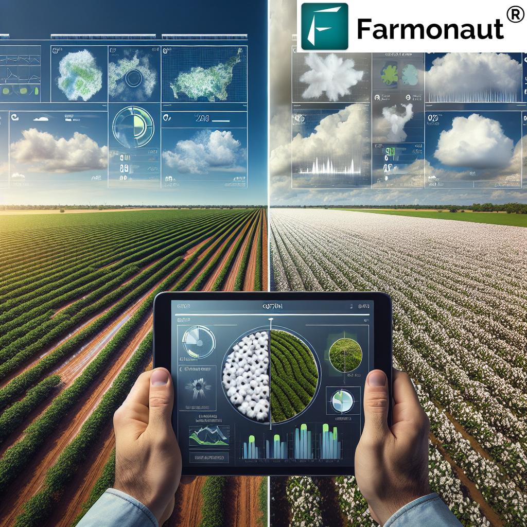
Farmonaut’s satellite crop monitoring enables us to overlay in-season vegetation indices with historic yield maps, offering a strategic, data-driven approach to farm planning and resource allocation.
For enterprise-scale analysis and mapping, Farmonaut’s API and App Toolkits deliver quick, actionable yield data for professional farm managers and agri-scientists.
6. Crop Health Monitoring: Real-Time Insights, Reduced Losses
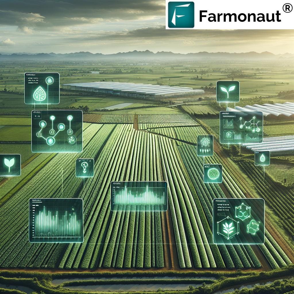
GPS-enabled remote sensing technologies are changing how we monitor plant health. By integrating GPS data with advanced sensors (including satellite and drone imagery), we can keep a close eye on crop vigor throughout the growing season.
- Early Stress & Disease Detection: Sensors measure indicators like chlorophyll levels and canopy temperature, capturing the first signs of stress or pest attacks.
- Targeted Action: By knowing the precise location of problem spots, we intervene quickly—deploying resources only where needed.
- Reduced Reliance on Chemicals: With more accurate, site-specific data, we limit pesticide and fertilizer usage, supporting both crop health and environmental sustainability.
Farmonaut’s AI-driven Jeevn advisory system analyzes satellite data, weather, and historical health patterns for customized crop management strategies—allowing us to maximize productivity while minimizing losses and input costs.
7. Irrigation Management with GPS: Maximizing Every Drop
Efficient irrigation management is vital in India, especially in water-scarce regions. GPS technology allows us to design and control irrigation systems that respond to micro-zones of moisture within a single field.
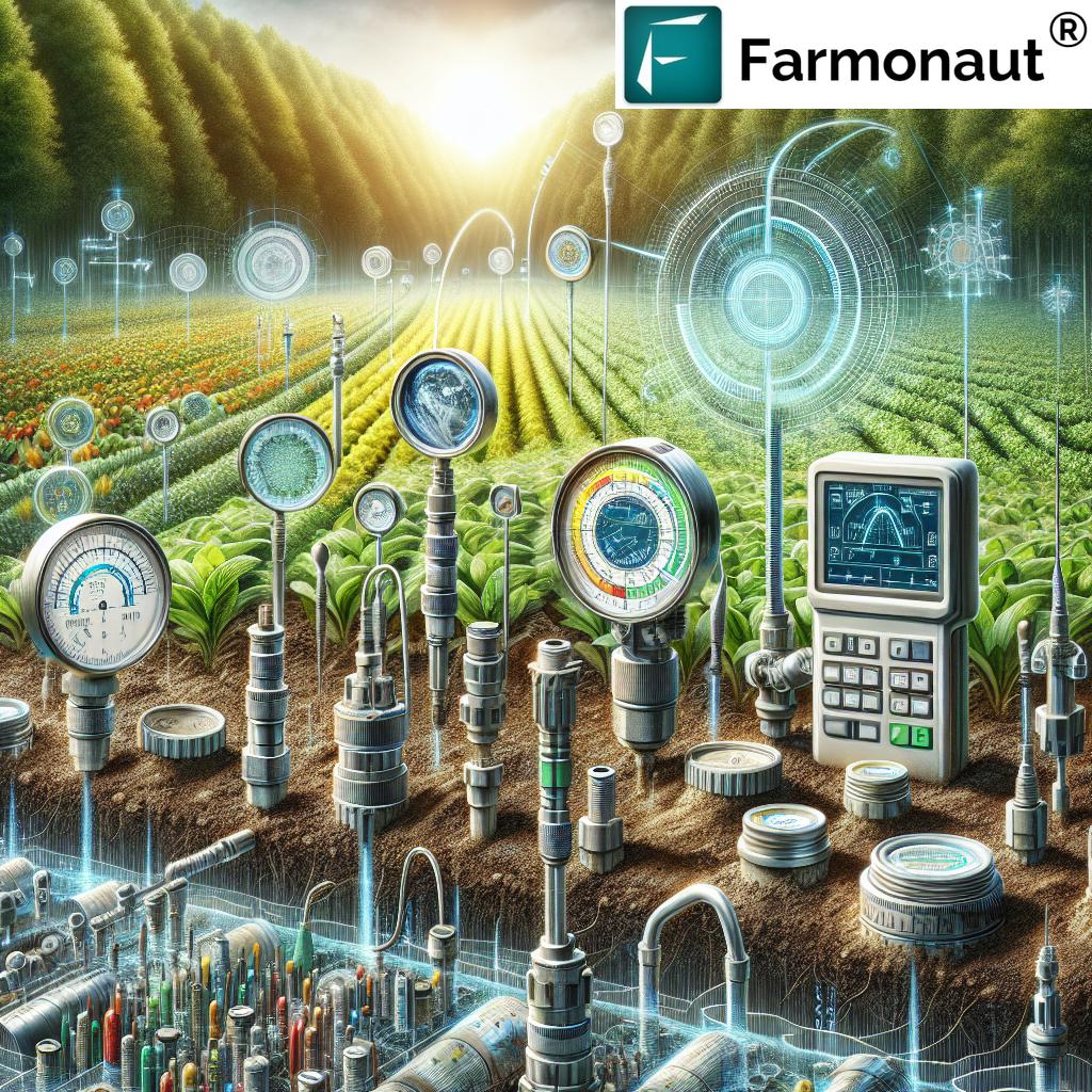
- Precision Water Application: By linking GPS data with soil moisture sensors and weather updates, we create irrigation prescriptions that ensure each zone gets the correct amount of water.
- Water Conservation: Controlled, targeted application reduces water wastage, promotes healthy root growth, and enhances sustainability.
- Automated Scheduling: Integrating Farmonaut’s real-time moisture data, farmers can automate or remotely manage irrigation—increasing productivity and reducing labor costs.
India’s focus on space data for farming innovation places platforms like Farmonaut and advanced GPS-enabled systems at the heart of our national push for agricultural resilience.
Learn more about satellite-based crop insurance and loan verification—critical for risk management in irrigation-dependent regions.
Benefits Comparison Table: 7 Critical GPS Applications in Indian Agriculture
| GPS Application | Description | Estimated Improvement | Associated Sustainable Benefit |
|---|---|---|---|
| Field Mapping & Soil Sampling | Using GPS for detailed soil and field variance maps to inform targeted interventions | Up to 15% yield increase; 10–25% reduction in input overuse | Reduced fertilizer runoff and resource waste |
| Precision Planting | GPS-guided seed placement ensures uniform emergence and optimal spacing | 5–10% yield improvement; 8–15% seed savings | Minimized seed and labor wastage |
| Variable Rate Application | Site-specific application of inputs like fertilizer, pesticides, and water | 10–20% input reduction; 12–18% cost savings | Lower chemical usage; reduced pollution |
| Automated Steering Systems | GPS-driven auto guidance for tractors and equipment | 15–20% fuel savings; 30% reduction in operator fatigue | Improved energy efficiency; less soil compaction |
| Yield Monitoring & Mapping | Location-tagged, real-time crop output analysis | 5–12% higher yields through better management | Enhanced resource allocation |
| Crop Health Monitoring | Remote sensing, stress detection, real-time advisories | Up to 20% reduction in crop loss | Early intervention, less chemical dependency |
| Irrigation Management | GPS-enabled water use optimization | 10–25% water savings; improved yield per drop | Sustainable water resource management |
Farmonaut: Making Precision Agriculture Affordable & Accessible
We at Farmonaut are committed to democratizing precision farming for all Indian farmers. Leveraging advanced technologies—satellite imagery, AI, blockchain, and machine learning—our platform breaks down the barriers to entry for efficient, sustainable farm management.
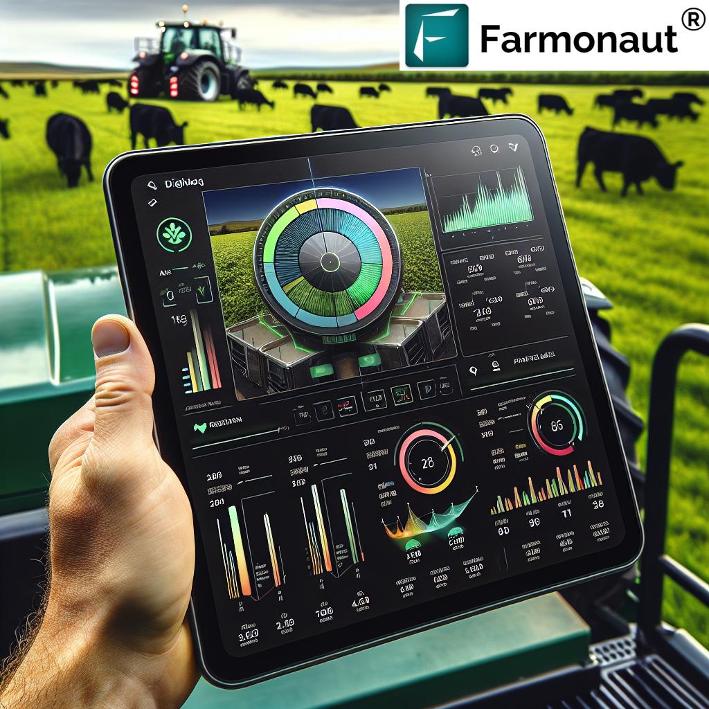
- Satellite-Based Crop Health Monitoring: Directly on your Android, iOS, or desktop—monitor NDVI plant indices, soil moisture, and climate patterns—no expensive sensors needed.
- AI-powered Jeevn Advisory: Receive real-time, personalized advice on irrigation, pest control, weather, nutrition, and more, based on your specific field data and satellite insights.
- Blockchain Traceability: Enhance transparency in your supply chain with Farmonaut’s end-to-end traceability, building trust from farm to market.
- Fleet and Resource Management: Optimize machinery usage, logistics, and fleet operations for reduced cost and improved safety.
- Carbon Footprinting & Sustainability: Track and reduce your carbon impacts effortlessly with Farmonaut’s dedicated module.
- Crop Loan & Insurance Verification: Accelerate approvals and get risk assessments for loans and insurance via satellite-based verification.
Are you a developer or agri-entrepreneur? Integrate our APIs and access developer docs here for seamless data delivery and automation.
Ready to Get Started?
Explore Farmonaut subscriptions that fit every need—from individual farmers to cooperatives and government users. Real-time insights, flexible packages, and affordable pricing:
Implementing GPS in Indian Agriculture: Practical Approaches
- Start with Soil Mapping and Field Boundaries: Use GPS-enabled mobile apps or professional mapping services (like Farmonaut’s web & mobile apps) to establish accurate field boundaries and identify management zones.
- Adopt Compatible Equipment: Choose tractors and implements equipped with GPS-based auto-steering, VRA controllers, and yield monitors (many models now support plug-and-play Farmonaut API integration).
- Integrate Remote Sensing: Subscribe to satellite-based crop health monitoring platforms for timely advisories and ongoing monitoring.
- Optimize Resource Use: Combine GPS data with in-field sensors (e.g., moisture, weather, crop stress) and make use of precision input application modules.
- Train & Upskill: Invest in operator and agronomist training for digital tools; many agri-tech providers offer video tutorials, chat-based support, and knowledge centers in regional languages.
- Monitor, Analyze, Improve: Use dashboards and field reports to track outcomes, benchmark progress, and identify areas for continuous improvement each season.
Advantages & Disadvantages of GPS in Agriculture
Advantages
- Precision Farming: Enables site-specific input application, raising yields and improving resource utilization.
- Accurate Mapping & Planning: Detailed GPS-based field mapping aids better crop management decisions.
- Machinery Guidance: Automated steering reduces human error, fatigue, and operational inefficiencies.
- Yield Monitoring: Real-time tracking allows for targeted interventions and management strategies.
- Resource Savings: Streamlines operations, saving both time and money.
- Supports Sustainability: Data-driven, environmentally-friendly practices such as VRA and water management.
- Scalability: From smallholders to corporate farms, GPS is adaptable and impactful across various farm sizes.
Disadvantages
- Initial Investment: The upfront cost of equipment, training, and digital tools (though Farmonaut makes access affordable for all).
- Technical Complexity: Requires digital literacy and ongoing technical support.
- Dependence on Satellite Signals: GPS accuracy can be affected by dense canopies, nearby buildings, or atmospheric conditions.
- Data Security and Privacy: The use of GPS and farm data demands proper security protocols to protect sensitive information.
- Connectivity Gaps: Reliable internet or cellular connectivity is needed for real-time applications and remote farm locations.
- Potential Over-Reliance: Excessive dependence may limit the continuity of traditional knowledge and on-ground experience.
The Future of GPS Technology in Indian Agriculture
The future of GPS in Indian agriculture is exceptionally bright. As satellite launch costs fall, mobile connectivity rises, and sensors become smarter, our ability to integrate GPS with a broader suite of data sources will only increase.
- Autonomous Equipment: The advent of fully autonomous tractors, drones, and soil robots will push automated, precision workflows even further—making farming less labor-intensive and more productive.
- More Affordable and Scalable: Subscription-based platforms (like Farmonaut) ensure that even smallholder farmers can join the digital revolution.
- Enhanced Decision Support: As AI analyzes GPS, soil, and climate data together, we receive increasingly fine-tuned, actionable crop advisories.
- Strengthened Sustainability: With carbon footprinting and traceability tools, Indian agriculture will meet domestic and global sustainability standards more robustly.
- End-to-End Integration: Farm management systems will connect input suppliers, farm practices, logistics, and market linkages—unlocking holistic growth and prosperity for Indian farmers.
- Space Data Fuels Innovation: India’s investment in space data for farming innovation ensures that geospatial intelligence will remain at the helm of the agricultural innovation drive.
As we move forward, platforms like Farmonaut—which combine GPS with AI, satellite tech, and blockchain—will be central to India’s journey toward food security, farm income growth, and sustainable agriculture practices.
Frequently Asked Questions (FAQ)
What is GPS technology in agriculture?
GPS technology in agriculture refers to the use of global positioning systems to collect, analyze, and utilize geospatial data—enabling precision in farm operations such as mapping, planting, input application, and yield monitoring.
How does variable rate application in farming work?
Variable Rate Application (VRA) leverages field data and GPS to apply inputs like fertilizers, pesticides, and water at different rates according to the specific needs of each crop zone—improving yields, minimizing waste, and reducing costs.
What are the key benefits of using automated steering systems for tractors?
Automated steering reduces operator fatigue, eliminates overlapping passes, increases field coverage efficiency, and significantly saves on fuel and time by guiding tractors accurately using GPS.
How can I start using Farmonaut’s GPS-powered solutions?
Simply sign up via the Farmonaut web or mobile app, select your farm area, and begin accessing real-time crop health insights, mapping, and advisories—no expensive hardware required.
Are Farmonaut’s solutions affordable for small farmers?
Yes! Farmonaut’s subscription tiers start with individual packages, making precision farming techniques attainable and cost-effective for farms of every size.
Is my farm data secured while using these systems?
Data privacy and security are a priority. Farmonaut provides blockchain-based traceability options, ensuring your information is safely encrypted and handled according to best industry practices.
Can GPS applications work in remote Indian regions?
Yes, basic GPS functions work offline. However, for advanced real-time features and data integration (e.g., satellite imagery and advisories), internet access may be required. Farmonaut is actively optimizing data delivery even for limited connectivity regions.
Conclusion: Embracing GPS for a Smarter, More Sustainable Indian Agriculture
We stand at the threshold of a new chapter in Indian agriculture. GPS technology in agriculture is not just about digital tools—it’s about empowering millions of our farmers, optimizing every acre, and protecting our environment for upcoming generations.
By leveraging field mapping, precision planting, variable rate applications, automated steering, yield mapping, real-time crop health monitoring, and smart irrigation management, GPS unlocks sustainable growth, higher profits, and unprecedented efficiency in our fields. The integration of platforms like Farmonaut lowers the cost barrier, making precision farming accessible to every Indian farmer—small, medium, or large.
As space data fuels India’s farming innovation drive, let us all adopt farm management systems and technologies that maximize crop yields, preserve precious resources, and elevate our nation’s rural prosperity. With Farmonaut and GPS technology, we’re not just farming—we’re farming intelligently for the future.
Ready to optimize your field with GPS? Start with Farmonaut—India’s leading satellite-powered, precision agriculture platform.
Discover more at farmonaut.com


