
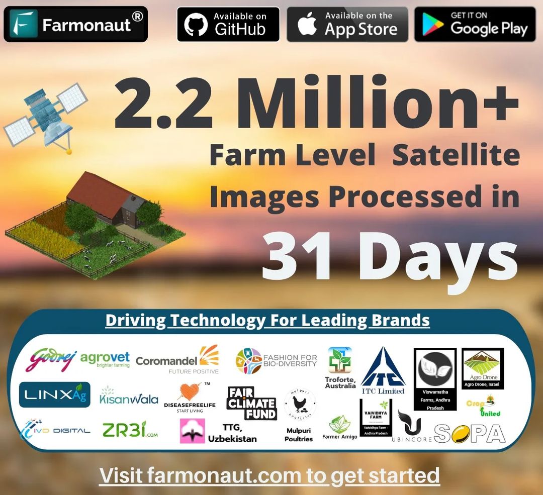
2.2 Million+
Satellite images processed at Farm level in 31 days
Farmonaut’s achievement in processing over 2.2 million farm-level satellite images in just 31 days is a significant milestone for the company and a promising development for the future of agriculture. With its innovative use of technology and commitment to improving the lives of small-scale farmers, Farmonaut is poised to make a significant impact on the agricultural industry in the years to come.
Introduction:
The use of satellite imagery in agriculture is not a new concept. For many years, farmers and researchers have used images captured by satellites to gain insights into crop health, soil moisture, and other important factors that influence agricultural productivity. However, the sheer scale of data available from satellites has always been a challenge, making it difficult for individuals to extract meaningful insights from the vast amounts of information available.
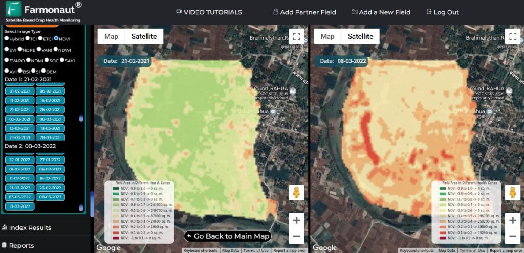
This is where Farmonaut comes in. By leveraging cutting-edge machine learning and computer vision technologies, the startup has developed a platform that can process and analyze large volumes of satellite imagery quickly and accurately. The platform uses algorithms to identify and classify different types of crops, track crop growth and health over time, and monitor soil conditions, among other things.
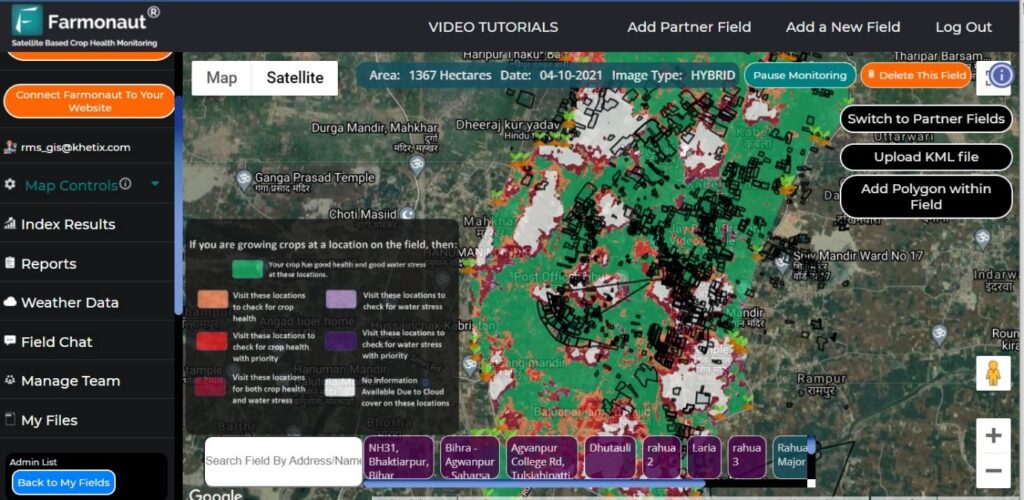
The company’s platform provides farmers with a range of services, including crop health monitoring, yield estimation, and pest and disease detection. By analyzing satellite images, Farmonaut can identify areas of a farm that are experiencing stress or damage and provide farmers with actionable insights to improve their yields.
The company leverages machine learning algorithms and satellite imagery to provide farmers with actionable insights about their crops, including crop health, nutrient deficiencies, and potential disease outbreaks. By providing affordable and accessible services, Farmonaut is helping these farmers to improve their productivity and profitability.
Milestone Achieved:
Over the course of just 31 days, Farmonaut’s platform analyzed more than 2.2 million satellite images at the farm level. This feat required significant computational power and sophisticated algorithms that could analyze the data at scale. By doing so, the platform was able to generate insights into crop growth and health, soil conditions, and other key factors that impact agricultural productivity.
The implications of this achievement are significant. With access to detailed information about crop health and soil conditions, farmers can make more informed decisions about planting, fertilization, and irrigation, which can lead to higher yields and greater profitability. Researchers can also use this data to gain insights into how different crops perform under different conditions, allowing them to develop new varieties that are better suited to specific environments.
Moreover, this achievement demonstrates the power of technology to transform the agricultural industry. With advanced machine learning and computer vision technologies, it is now possible to process and analyze vast amounts of data quickly and accurately, unlocking new insights and opportunities for innovation. By sophisticated means such as these, Farmonaut would continue to push the boundaries of what is possible, we can expect to see even more groundbreaking achievements in the field of precision agriculture in the years to come.
Conclusion:
In conclusion, Farmonaut’s achievement of processing and analyzing over 2.2 million farm level satellite images in just 31 days is a remarkable feat that showcases the immense potential of technology to transform the agricultural industry. By utilizing advanced machine learning and computer vision technologies, Farmonaut has demonstrated the power of data-driven insights to drive innovation and increase productivity in agriculture. This achievement is a significant milestone in the field of precision agriculture, and it will undoubtedly inspire more startups and researchers to explore the possibilities of advanced technology in agriculture.
Farmonaut’s technology has the potential to benefit a wide range of clients in the agricultural industry, from small-scale farmers to large agribusinesses. By providing highly accurate information about crop health and soil conditions, Farmonaut could gain appreciation many top tier clients.









A well written blog.