Farmonaut’s API: Revolutionizing Agriculture in Egypt and Beyond
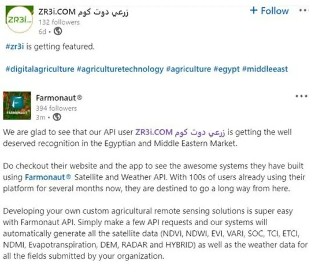
At Farmonaut, we’re thrilled to witness the growing success of our API user, Zr3i.com زرعي دوت كوم, in the Egyptian and Middle Eastern agricultural market. This recognition is a testament to the power and versatility of our Satellite and Weather API, which is transforming the landscape of precision agriculture across the region.
The Rise of Zr3i.com: A Success Story
Zr3i.com has leveraged our API to build impressive systems that are revolutionizing farm management in Egypt and the Middle East. With hundreds of users already benefiting from their platform for several months, Zr3i.com is poised for significant growth and expansion. Their success story exemplifies how our API can be utilized to create tailored solutions for specific agricultural markets.
Farmonaut API: Simplifying Agricultural Remote Sensing
Our mission at Farmonaut has always been to make advanced agricultural technologies accessible to farmers and agribusinesses of all sizes. The Farmonaut API is a prime example of this commitment, offering a straightforward way to integrate powerful remote sensing capabilities into custom agricultural solutions.
Key Features of Farmonaut API:
- Comprehensive Satellite Data: Our API provides a wide range of satellite-derived indices, including NDVI, NDWI, EVI, VARI, SOC, TCI, ETCI, NDMI, Evapotranspiration, DEM, RADAR, and HYBRID.
- Weather Data Integration: Along with satellite imagery, our API delivers crucial weather data for all submitted fields.
- Easy Integration: Developers can make simple API requests to automatically generate all necessary data for their applications.
- Scalability: Whether you’re monitoring a single field or managing thousands of hectares, our API can handle your needs.
The Power of Remote Sensing in Agriculture
Remote sensing has become an indispensable tool in modern agriculture, and Farmonaut is at the forefront of this technological revolution. By harnessing the power of satellite imagery and advanced analytics, we provide farmers and agribusinesses with unprecedented insights into their operations.
Benefits of Remote Sensing in Agriculture:
- Crop Health Monitoring: Detect issues early and take proactive measures to protect your yields.
- Resource Optimization: Make data-driven decisions about irrigation, fertilization, and pest control.
- Yield Prediction: Estimate crop yields more accurately, helping with planning and marketing.
- Environmental Impact Assessment: Monitor the environmental footprint of your agricultural practices.
- Large-Scale Monitoring: Efficiently manage vast agricultural areas with satellite-based insights.
Farmonaut Satellite System vs. Drone and IoT-Based Monitoring
While drones and IoT devices have their place in agriculture, the Farmonaut Satellite System offers distinct advantages for farm monitoring. Here’s a comparison:
| Feature | Farmonaut Satellite System | Drone-Based Monitoring | IoT-Based Monitoring |
|---|---|---|---|
| Coverage Area | Large scale (Global) | Limited (Local) | Limited (Point-based) |
| Data Collection Frequency | Regular (Every few days) | On-demand (Manual flights) | Continuous |
| Initial Setup Cost | Low | High | Medium to High |
| Maintenance Required | Minimal | Regular | Regular |
| Scalability | Highly Scalable | Limited Scalability | Moderate Scalability |
| Weather Dependency | Less Affected | Highly Affected | Moderately Affected |
| Data Processing | Automated | Often Manual | Automated |
| Historical Data Access | Extensive | Limited | Dependent on Storage |
Developing Custom Solutions with Farmonaut API
Creating your own agricultural remote sensing solutions has never been easier. With just a few API requests, developers can tap into our powerful systems to generate comprehensive satellite and weather data for their specific needs. This flexibility allows for the creation of tailored applications that address the unique challenges of different agricultural regions and crop types.
Steps to Get Started with Farmonaut API:
- Sign up for a Farmonaut API account at https://sat.farmonaut.com/api
- Review our comprehensive API documentation at https://farmonaut.com/farmonaut-satellite-weather-api-developer-docs/
- Integrate the API into your application or system
- Start retrieving satellite and weather data for your fields
- Analyze the data and create custom insights for your users
Farmonaut’s Impact on Egyptian and Middle Eastern Agriculture
The success of Zr3i.com in Egypt and the Middle East demonstrates the significant impact that Farmonaut’s technology can have on regional agriculture. By providing access to advanced remote sensing capabilities, we’re enabling farmers and agribusinesses in these areas to:
- Optimize water usage in water-scarce regions
- Improve crop yields in challenging climatic conditions
- Reduce the environmental impact of agricultural practices
- Enhance food security through data-driven decision making
- Modernize traditional farming practices with cutting-edge technology
The Future of Agriculture with Farmonaut

As we continue to innovate and expand our services, Farmonaut is committed to driving the future of agriculture. Our API is just one part of our comprehensive suite of agricultural technologies, which includes:
- Jeevn AI Advisory System: Our AI-powered farm management tool that provides personalized recommendations based on satellite data and advanced analytics.
- Blockchain-Based Traceability: Ensuring transparency and trust in agricultural supply chains.
- Carbon Footprinting: Helping agribusinesses monitor and reduce their environmental impact.
- Fleet and Resource Management: Optimizing agricultural operations for maximum efficiency.
These technologies, combined with our powerful API, position Farmonaut as a leader in the agricultural technology space, particularly in emerging markets like Egypt and the Middle East.
Join the Agricultural Revolution with Farmonaut
Whether you’re a farmer looking to optimize your operations, an agribusiness seeking to scale your monitoring capabilities, or a developer aiming to create innovative agricultural solutions, Farmonaut has the tools and technologies to support your goals.
Get Started Today:
- Download the Farmonaut app:
Android
iOS - Explore our API: Farmonaut API
- Learn more about our services: Farmonaut Services
Join us in revolutionizing agriculture and building a more sustainable, productive future for farmers worldwide.
Subscribe to Farmonaut
Frequently Asked Questions (FAQ)
1. What is Farmonaut?
Farmonaut is a pioneering agricultural technology company that offers advanced, satellite-based farm management solutions. Our mission is to make precision agriculture affordable and accessible to farmers worldwide by integrating innovative technology and data-driven insights into traditional farming practices.
2. How does the Farmonaut API work?
The Farmonaut API allows developers to easily integrate satellite and weather data into their agricultural applications. By making simple API requests, users can retrieve comprehensive data on crop health, soil moisture, weather conditions, and more for specified field locations.
3. What types of satellite data does Farmonaut provide?
Farmonaut provides a wide range of satellite-derived indices, including NDVI, NDWI, EVI, VARI, SOC, TCI, ETCI, NDMI, Evapotranspiration, DEM, RADAR, and HYBRID. These indices offer valuable insights into various aspects of crop and field conditions.
4. Is Farmonaut suitable for small-scale farmers?
Yes, Farmonaut is designed to be accessible and useful for farmers of all scales, from small-scale operations to large agribusinesses. Our solutions are scalable and can be tailored to meet the needs of different farm sizes and types.
5. How often is satellite data updated?
The frequency of satellite data updates depends on the specific service package and location. Generally, we provide updates every few days, ensuring that farmers have access to recent and relevant data for their decision-making processes.
6. Can Farmonaut be used for all types of crops?
Farmonaut’s technology is versatile and can be applied to a wide variety of crops. Our satellite-based monitoring and analytics are effective for both annual and perennial crops, as well as different agricultural practices.
7. How does Farmonaut compare to drone-based monitoring?
While drones offer high-resolution imagery, Farmonaut’s satellite-based system provides broader coverage, more frequent updates, and lower operational costs. It’s especially advantageous for monitoring large areas or multiple fields spread across different locations.
8. Is an internet connection required to use Farmonaut?
An internet connection is required to access Farmonaut’s web platform and mobile apps, as well as to use the API. However, once data is downloaded, many features can be accessed offline.
9. How secure is the data collected by Farmonaut?
We take data security very seriously. All data collected and processed by Farmonaut is protected using industry-standard encryption and security protocols. We comply with relevant data protection regulations to ensure the privacy and security of our users’ information.
10. Can Farmonaut integrate with other farm management software?
Yes, Farmonaut’s API is designed to be easily integrated with other farm management software and platforms. This allows for seamless incorporation of our satellite and weather data into existing agricultural management systems.
We hope this FAQ section has addressed some of your questions about Farmonaut and our services. If you have any further inquiries, please don’t hesitate to contact our support team. We’re here to help you harness the power of satellite technology for more efficient and sustainable farming practices.
Join us in revolutionizing agriculture with Farmonaut – where innovation meets cultivation!
