Revolutionizing Farm Management: Farmonaut’s Cutting-Edge Tree Estimation Technology
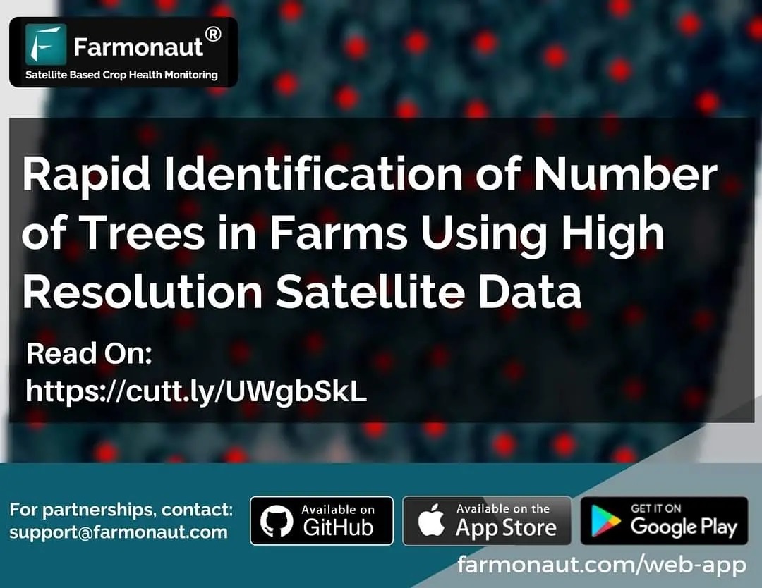
At Farmonaut®, we’re constantly pushing the boundaries of agricultural technology to empower farmers and agribusinesses with cutting-edge solutions. Our latest achievement showcases the power and precision of our satellite-based farm management system. We’re excited to share how we successfully estimated the number of trees for over 800 farmlands, covering a vast area of more than 1000 hectares, for one of our esteemed corporate clients.
The Challenge: Accurate Tree Counting at Scale
Tree counting is a crucial aspect of farm management, particularly for orchards, agroforestry systems, and plantations. Accurate tree inventories are essential for:
- Resource allocation
- Yield estimation
- Carbon sequestration calculations
- Overall farm planning and management
Traditional methods of tree counting, such as manual field surveys or drone-based imaging, can be time-consuming, labor-intensive, and costly, especially for large-scale operations. This is where Farmonaut’s innovative satellite-based solution comes into play.
Our Solution: Harnessing the Power of Satellite Technology
At Farmonaut, we’ve developed an automated system that leverages high-resolution satellite imagery and advanced artificial intelligence algorithms to provide accurate tree counts across vast areas. Our solution offers several key advantages:
- Accuracy: Our system achieved highly accurate results in estimating tree numbers across diverse landscapes.
- Speed: The automated nature of our technology allows for rapid processing and analysis of large datasets.
- Scalability: Our solution can easily handle projects of any size, from small orchards to vast plantations.
- Cost-effectiveness: By eliminating the need for on-ground surveys or drone flights, we significantly reduce the cost of tree inventories.
The Process: From Satellite to Insights
Our tree estimation process involves several sophisticated steps:
- Data Acquisition: We obtain high-resolution satellite imagery of the target area.
- Image Processing: Our AI algorithms process the imagery to enhance features and prepare it for analysis.
- Tree Detection: Advanced machine learning models identify individual trees based on their spectral and spatial characteristics.
- Counting and Validation: The system counts the detected trees and applies quality checks to ensure accuracy.
- Results Delivery: We provide our clients with detailed reports and interactive maps showing tree distributions and counts.
The Impact: Transforming Farm Management
The successful implementation of our tree estimation technology for over 800 farmlands demonstrates the power and potential of satellite-based precision agriculture. This project has significant implications for various stakeholders in the agricultural sector:
- Farmers and Plantation Owners: Accurate tree inventories enable better resource management, yield forecasting, and long-term planning.
- Agribusinesses: Large-scale operations can now efficiently monitor and manage their tree-based assets across multiple locations.
- Environmental Organizations: Precise tree counts contribute to more accurate carbon sequestration estimates and support conservation efforts.
- Government Agencies: Our technology can assist in land use planning, subsidy allocation, and monitoring of reforestation programs.
Beyond Tree Counting: Farmonaut’s Comprehensive Farm Management Solutions
While our tree estimation technology is a powerful tool, it’s just one component of Farmonaut’s comprehensive suite of precision agriculture solutions. Our platform offers a wide range of features designed to optimize farm management and boost productivity:
1. Crop Health Monitoring
Our
satellite NDVI imagery provides real-time insights into crop health and vigor. By analyzing the Normalized Difference Vegetation Index (NDVI), farmers can:
- Identify areas of stress or disease early
- Optimize irrigation and fertilizer application
- Monitor crop growth stages
- Predict yields more accurately
2. Precision Agriculture Tools
Farmonaut’s platform is built on the principles of
precision agriculture, offering tools that enable farmers to make data-driven decisions:
- Crop Logging: Keep detailed records of planting dates, treatments, and harvests for each field.
- Crop Identification: Our AI-powered system can identify crop types from satellite imagery, helping with crop rotation planning and market forecasting.
- Variable Rate Application Maps: Create precise application maps for fertilizers and pesticides based on field variability.
- Yield Mapping: Analyze historical yield data to identify consistently high or low-performing areas within fields.
3. Smart Farming Integration
Farmonaut embraces the concept of
smart farming by integrating various data sources and technologies:
- Weather Data: Access hyperlocal weather forecasts to plan farm activities and mitigate risks.
- Soil Moisture Monitoring: Use satellite-derived soil moisture data to optimize irrigation schedules.
- IoT Integration: While our core technology is satellite-based, we can integrate data from IoT sensors for even more precise monitoring.
4. Farm Management Software
Our user-friendly web and mobile applications provide a central hub for all farm management activities:
- Field Boundary Mapping: Easily define and manage field boundaries using satellite imagery.
- Task Planning and Scheduling: Coordinate farm activities and track their completion.
- Reporting and Analytics: Generate comprehensive reports on farm performance and resource utilization.
Farmonaut vs. Traditional Monitoring Methods
To illustrate the advantages of our satellite-based system, let’s compare it to traditional monitoring methods like drones and IoT sensors:
| Feature |
Farmonaut Satellite System |
Drone-based Monitoring |
IoT Sensor Networks |
| Coverage Area |
Unlimited (global coverage) |
Limited by flight time and regulations |
Limited by sensor placement |
| Data Collection Frequency |
Daily to weekly (depending on satellite) |
As needed, but requires manual flights |
Continuous, real-time |
| Initial Setup Cost |
Low (subscription-based) |
High (equipment and training) |
Medium to High (sensor network installation) |
| Operational Complexity |
Low (fully automated) |
High (requires skilled operators) |
Medium (maintenance of sensor network) |
| Data Processing |
Automated, AI-powered |
Often requires manual processing |
Automated, but limited to sensor locations |
| Scalability |
Highly scalable |
Limited by equipment and personnel |
Scalable, but costs increase with area |
The Future of Precision Agriculture with Farmonaut
As we continue to refine and expand our technology, we’re excited about the future possibilities for precision agriculture. Some areas we’re currently exploring include:
- Hyperspectral Imaging: Incorporating data from advanced satellite sensors to detect even more subtle changes in crop health and soil conditions.
- AI-Powered Predictive Analytics: Developing models that can predict crop yields, disease outbreaks, and optimal harvest times with even greater accuracy.
- Blockchain Integration: Enhancing our traceability solutions to provide end-to-end transparency in agricultural supply chains.
- Climate Change Adaptation: Developing tools to help farmers adapt to changing climate conditions and extreme weather events.
Get Started with Farmonaut
Ready to revolutionize your farm management with Farmonaut’s cutting-edge satellite technology? Here’s how you can get started:
- Download our mobile app:
Android | iOS
- Explore our web platform: Farmonaut Web App
- For developers, check out our API documentation: Farmonaut API Docs
Frequently Asked Questions (FAQ)
Q: How accurate is Farmonaut’s tree counting technology?
A: Our tree counting technology has been validated to achieve accuracy levels of over 95% in most conditions. However, factors such as tree density, canopy overlap, and image resolution can affect accuracy. We continuously refine our algorithms to improve accuracy across diverse landscapes.
Q: Can Farmonaut’s system distinguish between different tree species?
A: While our primary focus is on accurate tree counting, we are developing capabilities to distinguish between broad categories of trees (e.g., deciduous vs. coniferous) based on spectral signatures. For specific species identification, additional ground-truthing may be required.
Q: How often is satellite imagery updated in the Farmonaut system?
A: The frequency of satellite imagery updates depends on the specific satellite constellation used and the subscription tier. We typically offer updates ranging from daily to weekly, with options for on-demand high-resolution imagery for critical monitoring periods.
Q: Is Farmonaut’s technology suitable for small farms?
A: Absolutely! While our technology can handle large-scale operations, it’s equally valuable for small farms. We offer affordable subscription tiers tailored to the needs of small-scale farmers, providing them with powerful precision agriculture tools previously only available to large agribusinesses.
Q: How does Farmonaut integrate with other farm management software?
A: Farmonaut offers API access that allows for seamless integration with other farm management software and platforms. This enables farmers to incorporate our satellite-derived insights into their existing workflows and decision-making processes.
Q: Can Farmonaut’s system work in areas with limited internet connectivity?
A: Yes, our mobile app is designed to work offline, allowing users to download data when they have connectivity and access it later in the field. For areas with very limited connectivity, we can also provide periodic reports and updates through alternative channels.
Q: How does Farmonaut ensure data security and privacy?
A: We take data security and privacy very seriously. All user data is encrypted both in transit and at rest. We adhere to strict data protection regulations and never share individual farm data without explicit consent. Our systems are regularly audited to ensure the highest levels of security.
Conclusion: Empowering Farmers with Cutting-Edge Technology
At Farmonaut, we’re committed to making precision agriculture accessible and affordable for farmers worldwide. Our successful tree estimation project for over 800 farmlands is just one example of how satellite technology can revolutionize farm management. By combining high-resolution satellite imagery with advanced AI algorithms, we’re providing farmers with unprecedented insights into their operations, helping them optimize resource use, increase yields, and promote sustainable practices.
As we continue to innovate and expand our capabilities, we invite farmers, agribusinesses, and agricultural professionals to join us in shaping the future of farming. Together, we can create a more efficient, productive, and sustainable agricultural sector that meets the challenges of feeding a growing global population while preserving our planet’s resources.
Ready to experience the power of satellite-based precision agriculture? Visit
Farmonaut.com today to learn more and start your journey towards smarter, data-driven farming.
