Revolutionizing Agriculture: How Farmonaut Processed 10 Million Farm-Level Satellite Images in Just 14 Days
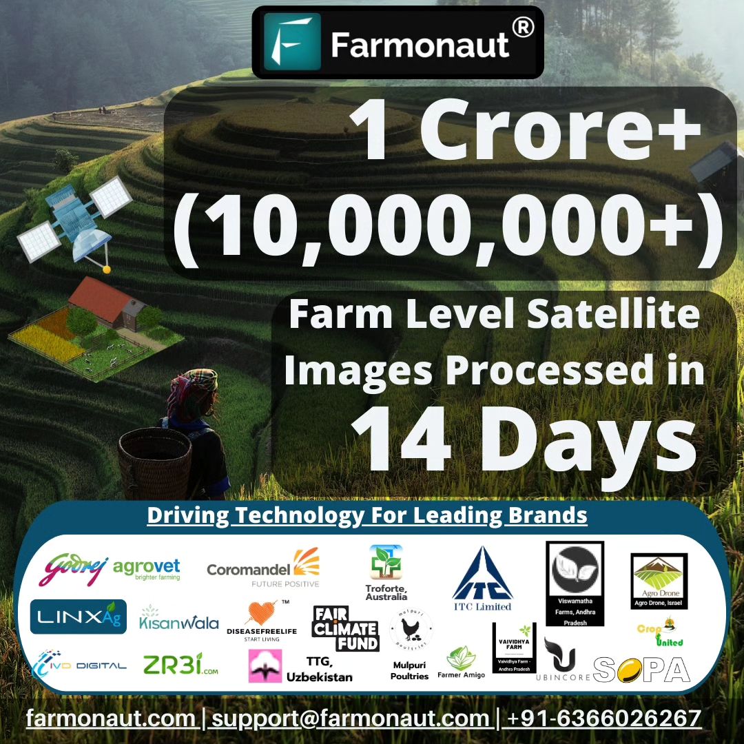
In the ever-evolving landscape of agricultural technology, we at Farmonaut have achieved a remarkable milestone that underscores our commitment to transforming the farming industry. We are thrilled to announce that our platform has successfully processed over 10 million farm-level satellite images in a mere 14 days. This extraordinary feat not only showcases the power of our technology but also highlights the immense potential of digital agriculture in reshaping how we perceive and optimize agricultural domains.
The Significance of Processing 10 Million Satellite Images
To truly appreciate the magnitude of this achievement, let’s delve into what it means for the agricultural sector and beyond:
- Unprecedented Scale: Processing 10 million farm-level satellite images in just two weeks is a testament to the robust infrastructure and advanced algorithms we’ve developed at Farmonaut.
- Real-time Insights: This capability allows us to provide farmers with near real-time data about their crops, enabling swift decision-making and action.
- Comprehensive Coverage: With such a vast number of images processed, we can offer extensive coverage of agricultural lands across diverse geographical regions.
- Data-Driven Agriculture: This milestone reinforces the shift towards data-driven farming practices, a cornerstone of modern agricultural innovation.
The Technology Behind the Achievement
At the heart of this accomplishment lies our cutting-edge satellite imagery analysis technology. Our platform leverages a combination of advanced satellite imaging, artificial intelligence, and machine learning algorithms to process and analyze vast amounts of data efficiently.
Key Components of Our Technology:
- High-Resolution Satellite Imagery: We utilize state-of-the-art satellites to capture detailed images of farmlands.
- AI-Powered Image Processing: Our proprietary AI algorithms swiftly analyze these images, extracting valuable insights.
- Cloud Computing Infrastructure: A robust cloud-based system enables us to process millions of images concurrently.
- Machine Learning Models: Continuously improving models help us interpret data with increasing accuracy over time.
The Impact on Digital Agriculture
This breakthrough in satellite imagery analysis has far-reaching implications for the future of digital agriculture. Here’s how it’s reshaping the industry:
- Enhanced Crop Monitoring: Farmers can now access up-to-date information about their crops’ health, growth patterns, and potential issues.
- Precision Farming: With detailed insights, farmers can apply resources like water and fertilizers more precisely, reducing waste and increasing efficiency.
- Early Problem Detection: Rapid image processing allows for early detection of crop diseases, pest infestations, or nutrient deficiencies.
- Yield Prediction: Accurate yield predictions become possible by analyzing historical and current crop data on a large scale.
- Environmental Impact Assessment: Large-scale image processing enables better tracking of land use changes and environmental impacts of farming practices.
Farmonaut’s Role in Agricultural Innovation
As pioneers in agtech, we at Farmonaut are committed to driving agricultural innovation through our advanced technologies. Our platform goes beyond just image processing; it’s a comprehensive solution for modern farming needs.
Key Features of Farmonaut’s Platform:
- Real-time Crop Health Monitoring: Our mobile app provides farmers with instant access to crop health data.
- AI-Powered Advisories: Personalized recommendations based on crop conditions and weather forecasts.
- Weather Insights: Accurate, localized weather predictions to aid in farm management decisions.
- Resource Optimization: Tools to help farmers optimize water usage, fertilizer application, and other resources.
- Historical Data Analysis: Trends and patterns analysis to inform long-term farming strategies.
For developers and businesses looking to integrate our technology into their own systems, we offer a robust API with comprehensive documentation.
Comparing Farmonaut’s Satellite System with Drone and IoT-based Monitoring
While drones and IoT devices have their place in modern agriculture, our satellite-based system offers unique advantages. Here’s a comparison:
| Feature | Farmonaut Satellite System | Drone-based Monitoring | IoT-based Monitoring |
|---|---|---|---|
| Coverage Area | Vast (Global) | Limited (Local) | Very Limited (Field-specific) |
| Frequency of Data Collection | Daily to Weekly | As needed (Manual flights) | Continuous |
| Initial Setup Cost | Low | High | Medium to High |
| Maintenance Required | Minimal | Regular | Regular |
| Scalability | Highly Scalable | Limited Scalability | Moderately Scalable |
| Weather Dependency | Low | High | Low |
| Data Processing Speed | Fast (Millions of images in days) | Moderate | Fast (Limited data points) |
The Future of Crop Monitoring with Farmonaut
As we continue to push the boundaries of what’s possible in crop monitoring, the future looks incredibly promising. Here’s what we envision:
- Even Faster Processing: We’re constantly optimizing our algorithms to process images even more rapidly, aiming for near real-time insights.
- Integration with Other Technologies: Combining satellite data with ground-based sensors and drones for a more comprehensive view of farm conditions.
- Advanced Predictive Analytics: Leveraging big data and AI to provide more accurate predictions of crop yields, disease outbreaks, and market trends.
- Sustainable Farming Practices: Using our technology to promote and monitor sustainable farming methods, contributing to global environmental goals.
- Expansion of Services: Extending our platform to cover more crops, regions, and agricultural practices.
How Farmers Can Benefit from Farmonaut’s Technology
The power of our satellite imagery analysis is now accessible to farmers of all scales. Here’s how you can leverage our technology:
- Download Our App: Get started by downloading the Farmonaut app from the Google Play Store or the Apple App Store.
- Register Your Farm: Simply input your farm’s location, and our system will start monitoring it using satellite imagery.
- Access Real-time Insights: Receive regular updates on crop health, weather conditions, and personalized recommendations.
- Make Data-Driven Decisions: Use the insights provided to optimize your farming practices, from irrigation to pest control.
- Track Progress Over Time: Monitor the impact of your decisions with historical data and trend analysis.
Join the Agricultural Revolution with Farmonaut
As we celebrate this milestone of processing 10 million farm-level satellite images in just 14 days, we invite farmers, agribusinesses, and agricultural enthusiasts to join us in this revolution. Together, we can create a more efficient, productive, and sustainable future for agriculture.
Ready to transform your farming practices? Subscribe to Farmonaut today and experience the power of satellite-based crop monitoring:
FAQs
Q: How accurate is satellite imagery for crop monitoring?
A: Satellite imagery has become increasingly accurate for crop monitoring. Our advanced algorithms can detect subtle changes in crop health, soil moisture, and other key factors with high precision. While it may not replace on-ground observations entirely, it provides a comprehensive and cost-effective way to monitor large areas consistently.
Q: How often are satellite images updated on the Farmonaut platform?
A: The frequency of updates depends on the satellite constellation we use and the specific location of the farm. Generally, we provide updates every 3-5 days, but in some cases, it can be as frequent as daily updates.
Q: Can Farmonaut’s technology work for small farms?
A: Absolutely! Our technology is scalable and can be used for farms of all sizes. In fact, we believe that bringing advanced technology to small farmers is crucial for global agricultural development.
Q: What types of crops can be monitored using Farmonaut?
A: Our system is designed to monitor a wide variety of crops, including cereals, fruits, vegetables, and cash crops. We’re continually expanding our crop database to provide insights for more crop types.
Q: How does Farmonaut’s technology contribute to sustainable farming?
A: By providing precise data on crop health and resource needs, our technology helps farmers optimize their use of water, fertilizers, and pesticides. This not only reduces costs but also minimizes the environmental impact of farming practices.
Q: Is internet connectivity required to use Farmonaut’s services?
A: While internet connectivity is needed to receive real-time updates and access our full range of features, our app is designed to work offline as well, storing data locally and syncing when a connection is available.
Q: How does Farmonaut ensure the privacy and security of farm data?
A: We take data privacy very seriously. All farm data is encrypted and stored securely. We adhere to strict data protection regulations and never share individual farm data without explicit consent.
Q: Can Farmonaut’s technology integrate with other farm management systems?
A: Yes, we offer API access that allows integration with various farm management systems. This enables a seamless flow of data between different tools and platforms used by farmers and agribusinesses.
Q: How does satellite imagery compare to drone imagery for agricultural purposes?
A: While drones can provide very high-resolution images, satellite imagery offers broader coverage and more frequent updates without the need for on-site operations. Our satellite technology is particularly advantageous for monitoring large areas and tracking changes over time.
Q: What support does Farmonaut provide to help farmers interpret the data?
A: We provide easy-to-understand visualizations and insights directly in our app. Additionally, our AI-powered advisory system offers personalized recommendations based on the data. For users who need more assistance, we offer customer support and educational resources to help interpret and act on the insights provided.
As we continue to push the boundaries of agricultural innovation, Farmonaut remains committed to empowering farmers with cutting-edge technology. Our recent achievement of processing 10 million farm-level satellite images in just 14 days is just the beginning. We invite you to join us on this exciting journey towards a more efficient, productive, and sustainable future in agriculture.
Ready to revolutionize your farming practices? Download our app today and experience the power of satellite-based crop monitoring!
