Land Classification in Kerala: A Comprehensive Guide to Understanding Kerala’s Diverse Terrain
Kerala, known as “God’s Own Country,” is a state in southern India renowned for its lush landscapes, diverse ecosystems, and unique topography. Understanding the classification of land in Kerala is crucial for various sectors, including agriculture, urban planning, and environmental conservation. In this comprehensive guide, we’ll delve deep into the intricacies of land classification in Kerala, exploring its various categories, their characteristics, and the implications for sustainable development.
Table of Contents
- Introduction to Kerala’s Geography
- The Importance of Land Classification
- Major Land Classification Categories in Kerala
- Agricultural Land Classification
- Forest Land Classification
- Urban and Rural Land Classification
- Coastal Land Classification
- Wetlands and Water Bodies
- The Role of Technology in Land Classification
- Challenges in Land Classification
- Future Trends and Sustainable Development
- FAQ Section
1. Introduction to Kerala’s Geography
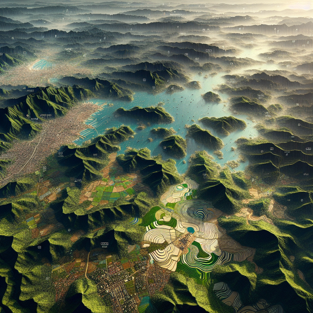
Kerala, situated on the southwestern coast of India, is known for its diverse geographical features. The state spans an area of 38,863 square kilometers and is characterized by three distinct physiographic regions:
- The highlands (mountains and forests)
- The midlands (rolling hills)
- The lowlands (coastal plains)
This unique topography contributes to the state’s rich biodiversity and varied land use patterns, making the classification of land in Kerala a complex but essential task.
2. The Importance of Land Classification
Land classification serves several crucial purposes:
- Resource Management: It helps in the efficient allocation and utilization of land resources.
- Urban Planning: Guides the development of cities and infrastructure.
- Agricultural Planning: Assists in determining suitable crops and farming practices for different areas.
- Environmental Conservation: Identifies ecologically sensitive areas that require protection.
- Disaster Management: Helps in assessing risk-prone areas and planning mitigation strategies.
For Kerala, with its unique ecological balance and high population density, proper land classification is paramount for sustainable development.
3. Major Land Classification Categories in Kerala
The land classification in Kerala is primarily divided into the following major categories:
- Agricultural Land
- Forest Land
- Urban and Rural Settlements
- Coastal Areas
- Wetlands and Water Bodies
Each of these categories is further subdivided based on specific characteristics and land use patterns.
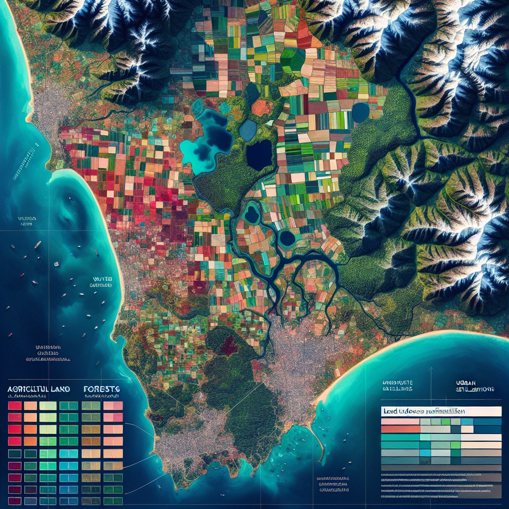
4. Agricultural Land Classification
Agricultural land in Kerala is classified based on various factors such as soil type, irrigation facilities, and crop suitability. The main classifications include:
- Paddy Fields (Wetlands)
- Garden Lands
- Plantations (Tea, Coffee, Rubber)
- Spice Gardens
- Dry Lands
Understanding these classifications is crucial for implementing appropriate farming techniques and maximizing agricultural productivity. At Farmonaut, we provide satellite-based crop monitoring services that can help farmers make informed decisions based on their specific land classification. Learn more about our services here.
5. Forest Land Classification
Kerala’s forests are a vital part of its ecosystem and are classified into various categories:
- Reserved Forests
- Protected Forests
- Unclassed Forests
- Vested Forests
- Sacred Groves
These classifications help in the conservation and management of forest resources, which are crucial for maintaining Kerala’s biodiversity and ecological balance.
6. Urban and Rural Land Classification
The urban and rural land classification in Kerala is based on population density, infrastructure, and economic activities. This classification includes:
- Municipal Corporations
- Municipalities
- Panchayats
- Special Economic Zones
- Industrial Areas
This classification guides urban development policies and infrastructure planning across the state.
7. Coastal Land Classification
With a coastline stretching 590 kilometers, Kerala’s coastal areas are classified into:
- Coastal Regulation Zones (CRZ)
- Fishing Villages
- Mangrove Forests
- Beach Areas
- Coastal Wetlands
These classifications are crucial for balancing coastal development with environmental protection and disaster management.
8. Wetlands and Water Bodies
Kerala’s unique geography includes numerous wetlands and water bodies, classified as:
- Backwaters
- Lakes
- Rivers
- Estuaries
- Marshes
The classification and protection of these water resources are vital for maintaining ecological balance and supporting livelihoods dependent on them.
9. The Role of Technology in Land Classification
Modern technology plays a crucial role in enhancing the accuracy and efficiency of land classification in Kerala. Some key technologies include:
- Geographic Information Systems (GIS)
- Remote Sensing
- Satellite Imagery
- Artificial Intelligence and Machine Learning
At Farmonaut, we leverage advanced satellite technology and AI to provide precise land classification and crop monitoring services. Our satellite-based system offers several advantages over traditional drone and IoT-based farm monitoring:
| Feature | Farmonaut Satellite System | Drone-based Monitoring | IoT-based Monitoring |
|---|---|---|---|
| Coverage Area | Large scale (entire states/countries) | Limited (few acres at a time) | Limited to sensor placement |
| Frequency of Data | Regular (every 3-5 days) | As per manual flights | Continuous but localized |
| Cost-effectiveness | High | Medium | Low (high initial investment) |
| Ease of Use | Very High (no on-field equipment) | Medium (requires skilled operator) | Medium (requires maintenance) |
| Data Analysis | Advanced AI-powered analysis | Requires separate analysis tools | Limited to sensor capabilities |
To explore how our satellite-based system can benefit your agricultural operations, visit our API documentation or download our app for Android or iOS.
10. Challenges in Land Classification
Despite technological advancements, several challenges persist in the land classification in Kerala:
- Rapid Urbanization: Changing land use patterns due to urban sprawl.
- Climate Change: Altering ecosystems and land characteristics.
- Population Pressure: Increasing demand for land resources.
- Land Fragmentation: Complicating classification and management efforts.
- Data Accuracy: Ensuring up-to-date and precise classification information.
Addressing these challenges requires a multidisciplinary approach and the adoption of innovative technologies.
11. Future Trends and Sustainable Development
The future of land classification in Kerala is likely to be shaped by several trends:
- Integration of AI and Machine Learning in classification processes
- Increased focus on sustainable land use practices
- Greater emphasis on participatory approaches in land classification
- Development of real-time monitoring systems for land use changes
- Enhanced integration of land classification data in policy-making
These trends will play a crucial role in ensuring sustainable development and effective land management in Kerala.
12. FAQ Section
Q1: Why is land classification important in Kerala?
A1: Land classification in Kerala is crucial for efficient resource management, urban planning, agricultural development, environmental conservation, and disaster management. It helps in making informed decisions about land use and ensures sustainable development.
Q2: How does technology aid in land classification?
A2: Technologies like GIS, remote sensing, and satellite imagery enhance the accuracy and efficiency of land classification. They provide detailed, up-to-date information about land characteristics and use patterns, enabling better decision-making.
Q3: What are the main challenges in land classification in Kerala?
A3: The main challenges include rapid urbanization, climate change impacts, population pressure, land fragmentation, and ensuring data accuracy. These factors make it difficult to maintain up-to-date and precise land classification information.
Q4: How does Farmonaut contribute to land classification and agriculture in Kerala?
A4: Farmonaut provides advanced satellite-based crop monitoring and land classification services. Our technology helps farmers and agricultural planners make informed decisions based on accurate, real-time data about land characteristics and crop health.
Q5: What is the future of land classification in Kerala?
A5: The future of land classification in Kerala is likely to involve greater integration of AI and machine learning, increased focus on sustainable practices, participatory approaches, real-time monitoring systems, and enhanced use of classification data in policy-making.
Conclusion
Understanding the classification of land in Kerala is essential for sustainable development, effective resource management, and informed decision-making across various sectors. As technology continues to evolve, the accuracy and efficiency of land classification will improve, leading to better land use practices and conservation efforts.
At Farmonaut, we’re committed to leveraging cutting-edge satellite technology and AI to support agriculture and land management in Kerala and beyond. Our services provide valuable insights for farmers, policymakers, and researchers, contributing to more sustainable and productive land use practices.
To learn more about how Farmonaut can help you with precision agriculture and land management, visit our developer documentation or subscribe to our services below:
By embracing advanced technologies and sustainable practices, we can ensure that the diverse and beautiful landscapes of Kerala are preserved and utilized wisely for generations to come.