Revolutionizing Agriculture: Satellite-Based Crop Health Monitoring Systems
In the ever-evolving world of agriculture, technology continues to play a pivotal role in enhancing productivity, sustainability, and efficiency. At Farmonaut, we are at the forefront of this agricultural revolution, harnessing the power of satellite technology to transform the way farmers monitor and manage their crops. As we prepare for our upcoming webinar on Satellite-Based Crop Health Monitoring Systems, we’d like to take you on a journey through the incredible potential of this technology and how it’s reshaping the future of farming.
The Promise of Satellite-Based Crop Health Monitoring
At Farmonaut, we believe that satellite-based solutions are the key to unlocking unprecedented insights into crop health and performance. Our advanced crop health monitoring systems leverage cutting-edge satellite imagery and data analytics to provide farmers with real-time, actionable information about their fields. This technology is not just about pretty pictures from space; it’s about empowering farmers with the knowledge they need to make informed decisions that can dramatically improve their yields and reduce resource waste.
How Satellite Technology is Transforming Agriculture
The application of satellite technology in agriculture goes far beyond simple observation. Here are some of the ways our systems are making a difference:
- Real-time Crop Health Assessment: Our satellites capture multispectral images that allow us to calculate vegetation indices such as NDVI (Normalized Difference Vegetation Index). These indices provide a clear picture of crop health, highlighting areas of stress or disease long before they become visible to the naked eye.
- Precision Irrigation Management: By analyzing satellite data, we can assess soil moisture levels across vast areas, enabling farmers to optimize their irrigation strategies and conserve water.
- Early Pest and Disease Detection: Changes in crop spectral signatures can indicate the onset of pest infestations or diseases, allowing for early intervention and targeted treatment.
- Yield Prediction: By tracking crop development over time, our systems can provide accurate yield predictions, helping farmers and agribusinesses plan their harvests and market strategies more effectively.
- Resource Optimization: With detailed insights into field variability, farmers can apply fertilizers and other inputs more precisely, reducing costs and minimizing environmental impact.
The Farmonaut Advantage: Satellite vs. Drone and IoT Monitoring
While drones and IoT devices have their place in modern agriculture, satellite-based solutions offer unique advantages that make them indispensable for comprehensive farm management. Here’s how Farmonaut’s satellite system compares to other monitoring methods:
| Feature | Farmonaut Satellite System | Drone-based Monitoring | IoT-based Monitoring |
|---|---|---|---|
| Coverage Area | Vast (Global) | Limited (Local) | Very Limited (Point-based) |
| Frequency of Data Collection | Regular (Every few days) | As needed (Manual flights) | Continuous |
| Initial Setup Cost | Low | High | Medium to High |
| Operational Complexity | Low (Automated) | High (Requires skilled operator) | Medium (Requires maintenance) |
| Data Processing | Advanced (AI & ML powered) | Moderate to Advanced | Basic to Moderate |
| Scalability | Highly Scalable | Limited Scalability | Moderate Scalability |
| Weather Independence | High | Low | Moderate |
The Science Behind Satellite-Based Crop Monitoring
At the heart of our satellite-based crop health monitoring system lies a complex interplay of physics, remote sensing, and data science. Here’s a deeper look into the technology that powers our solutions:
1. Multispectral Imaging
Our satellites are equipped with advanced multispectral sensors that capture light reflected from Earth’s surface across various wavelengths, including visible light and near-infrared (NIR). Different surfaces, including healthy and stressed vegetation, reflect light differently across these spectrums. By analyzing these spectral signatures, we can derive valuable information about crop health and soil conditions.
2. Vegetation Indices
We use various vegetation indices to quantify crop health and vigor. The most common of these is the Normalized Difference Vegetation Index (NDVI), which is calculated using the following formula:
NDVI = (NIR – Red) / (NIR + Red)
Where NIR is the reflectance in the near-infrared band and Red is the reflectance in the red band. NDVI values range from -1 to 1, with higher values indicating healthier vegetation.
3. Machine Learning and Artificial Intelligence
To make sense of the vast amounts of data collected by satellites, we employ sophisticated machine learning algorithms. These AI models are trained on extensive datasets to recognize patterns associated with various crop conditions, diseases, and stress factors. This allows us to provide accurate, actionable insights to farmers.
4. Time Series Analysis
By collecting satellite imagery over time, we can track changes in crop health and development throughout the growing season. This temporal analysis is crucial for detecting gradual changes that might otherwise go unnoticed, such as the slow onset of drought stress or nutrient deficiencies.
Practical Applications of Satellite-Based Crop Monitoring
The insights provided by our satellite-based solutions have wide-ranging applications in modern agriculture. Here are some of the ways farmers and agribusinesses are using this technology to improve their operations:
1. Precision Agriculture
Precision farming is all about applying the right treatment in the right place at the right time. Our satellite monitoring system enables farmers to create detailed zone maps of their fields, identifying areas that need specific attention. This could mean varying the application of fertilizers, adjusting irrigation schedules, or targeting pest control measures more precisely.
2. Early Stress Detection
One of the most valuable aspects of satellite monitoring is its ability to detect crop stress early. By identifying problems before they become visible to the naked eye, farmers can take corrective action quickly, potentially saving entire crops from failure. This early warning system is particularly crucial in large-scale farming operations where manual inspection of every acre is impractical.
3. Yield Forecasting
Accurate yield predictions are essential for farm management and market planning. Our satellite-based system tracks crop development throughout the season, using historical data and machine learning models to provide increasingly accurate yield forecasts as harvest time approaches. This information is invaluable not just for individual farmers, but also for agricultural companies, commodity traders, and policymakers.
4. Insurance and Risk Management
Satellite imagery provides an objective, verifiable record of crop conditions throughout the growing season. This is incredibly useful for crop insurance purposes, allowing for more accurate assessment of crop losses due to weather events, pests, or diseases. It also helps in risk management by identifying potential problems early, allowing farmers to mitigate risks before they escalate.
5. Sustainable Resource Management
With growing concerns about environmental sustainability, efficient use of resources in agriculture is more important than ever. Our satellite monitoring system helps farmers optimize their use of water, fertilizers, and pesticides. By applying inputs only where and when they’re needed, farmers can reduce waste, lower costs, and minimize environmental impact.
The Future of Satellite-Based Crop Monitoring
As exciting as the current capabilities of satellite-based crop monitoring are, the future holds even more promise. Here are some of the developments we’re looking forward to:
1. Higher Resolution Imagery
Advances in satellite technology are continually improving the resolution of imagery available for agricultural monitoring. Higher resolution means even more detailed insights into crop health and field conditions.
2. More Frequent Revisits
As more satellites are launched, the frequency with which any given area can be imaged is increasing. This will allow for even more timely detection of changes in crop health and field conditions.
3. Integration with IoT and Ground Sensors
While satellite monitoring provides an excellent broad view, integrating this data with ground-based sensors can provide an even more comprehensive picture of crop and soil conditions. We’re working on ways to seamlessly integrate these different data sources.
4. Advanced AI and Predictive Analytics
As our AI models are fed more data, they become increasingly accurate in predicting crop outcomes and identifying potential issues. We’re continually refining our algorithms to provide even more valuable insights to farmers.
5. Climate Change Adaptation
Satellite monitoring will play a crucial role in helping farmers adapt to changing climate conditions. By tracking long-term trends in vegetation patterns and weather conditions, we can help farmers make informed decisions about crop selection and management practices.
How to Get Started with Farmonaut’s Satellite-Based Solutions
Ready to harness the power of satellite technology for your farming operations? Here’s how you can get started with Farmonaut:
- Sign Up: Visit our website at https://farmonaut.com/app_redirect to create your account.
- Define Your Fields: Use our intuitive interface to outline your fields on a map.
- Choose Your Subscription: Select the subscription plan that best fits your needs. We offer flexible options to suit farms of all sizes.
- Access Your Data: Start receiving regular updates on your crop health and field conditions.
- Mobile Access: Download our mobile app for on-the-go access to your farm data:
- Android: Google Play Store
- iOS: Apple App Store
For developers interested in integrating our satellite data into their own applications, check out our API documentation at https://farmonaut.com/farmonaut-satellite-weather-api-developer-docs/.
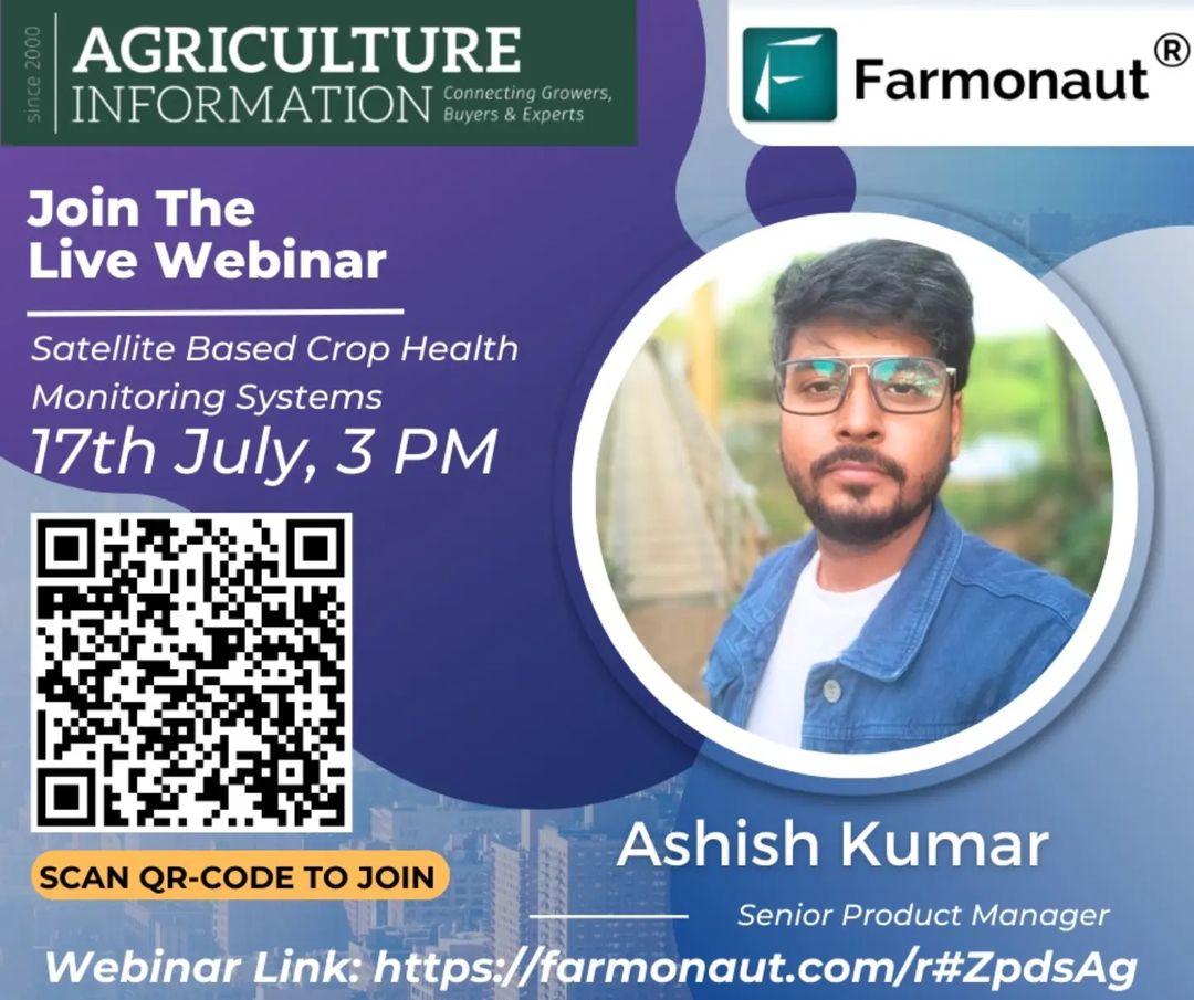
Join Our Upcoming Webinar
To learn more about the revolutionary potential of satellite-based crop health monitoring, don’t miss our upcoming webinar:
- Topic: Satellite-Based Crop Health Monitoring Systems
- Date: 17th July
- Time: 3 PM
- Speaker: Mr. Ashish Kumar, Senior Product Manager
In this session, Mr. Kumar will delve deep into the innovative use of satellite technology in monitoring crop health. You’ll learn how our advanced satellite imagery and data analytics can transform your agricultural practices by providing real-time insights into crop conditions, helping you make informed decisions, and ultimately boosting yield and sustainability.
To join the webinar, simply click on this link: https://lnkd.in/gCbPuWQT
Subscribe to Farmonaut
Ready to take your farming to the next level? Subscribe to Farmonaut’s satellite-based crop monitoring service today:
Frequently Asked Questions (FAQ)
Q1: How often are satellite images updated?
A1: The frequency of updates depends on your subscription plan, but typically ranges from daily to weekly updates. Factors like cloud cover can affect image availability.
Q2: What’s the minimum field size that can be monitored?
A2: Our system can monitor fields as small as 0.1 hectares (about 0.25 acres). However, for the most accurate results, we recommend a minimum field size of 0.5 hectares (about 1.2 acres).
Q3: Do I need any special equipment to use Farmonaut’s services?
A3: No special equipment is needed. All you need is a computer or smartphone with internet access to view your field data and insights.
Q4: How accurate is satellite-based crop monitoring?
A4: Our system has been shown to be highly accurate, with crop health assessments typically within 90-95% accuracy when compared to ground-truth data. However, accuracy can vary depending on factors like crop type, field size, and weather conditions.
Q5: Can satellite monitoring replace traditional scouting methods?
A5: While satellite monitoring provides valuable insights, we recommend using it in conjunction with traditional scouting methods for the best results. Our system can help focus your scouting efforts on areas that need the most attention.
Q6: Is my farm data secure?
A6: Yes, we take data security very seriously. All farm data is encrypted and stored securely. We never share individual farm data without explicit permission.
Q7: Can Farmonaut’s system work for all types of crops?
A7: Our system works well for a wide variety of crops, including grains, fruits, vegetables, and cash crops. However, the level of detail and accuracy may vary depending on the specific crop type and growing conditions.
Q8: How does cloud cover affect satellite monitoring?
A8: Cloud cover can interfere with satellite imaging. However, our system uses data from multiple satellites and employs advanced algorithms to fill in gaps and provide consistent monitoring even in areas with frequent cloud cover.
Q9: Can Farmonaut’s system detect specific diseases or pests?
A9: While our system can detect general signs of stress that might indicate disease or pest problems, it typically can’t identify specific diseases or pests. However, it can help you pinpoint areas that need closer inspection.
Q10: How does satellite monitoring compare to drone monitoring?
A10: Satellite monitoring offers broader coverage and more frequent updates without the need for on-site operations. However, drones can provide higher resolution images for smaller areas. Many farmers find that a combination of both technologies works best for their needs.
Conclusion
As we stand on the brink of a new era in agriculture, satellite-based crop health monitoring systems are leading the charge towards more efficient, sustainable, and productive farming practices. At Farmonaut, we’re committed to putting this powerful technology into the hands of farmers worldwide, democratizing access to precision farming tools that were once the preserve of only the largest agricultural operations.
By harnessing the power of satellite technology, we’re not just changing the way farms are managed – we’re helping to secure the future of food production in a world of increasing challenges and uncertainties. Whether you’re a small family farmer or managing vast agricultural enterprises, our satellite-based solutions can provide you with the insights you need to make better decisions, optimize your resources, and maximize your yields.
We invite you to join us on this exciting journey. Attend our upcoming webinar, explore our platform, and discover how Farmonaut’s agricultural technology can transform your farming operations. Together, we can cultivate a smarter, more sustainable future for agriculture.
